4 December 2020; G/LD-013 (Coniston Old Man); G/LD-028 (Harter Fell) and G/LD-034 (Hardknott)
I had planned a day off work on December for some time, with a view to a short camping trip and taking advantage of the winter bonus. My original plan had been the low-lying fells around Loweswater (Melbreak, Low Fell, Blake Fell). However, with snow forecast for the end of the week, I thought it was a good opportunity for some early season winter walking higher-up - so I made for Coniston Old Man (G/LD-013).
the plan was to cycle from my QTH after work on Thursday 3rd, and camp on the side of Old Man, and hopefully also take in some of the nearby lower fells.
I set off from home a little after 1700hrs, using a fully rigid mountain bike equipped with a rack and panniers (plus my backpack bungeed to the top of the rack). The cycle took me up Eskdale to the foot of HardKnott pass. I was worried that the pass might be too icy to cycle across on the bike, and I had an alternative plan to lock the bike near the Roman fort and hike the rest of the way. Fortunately, the temperature at the top was still a couple of degrees above zero - although there was a thin layer of snow in places.
I was soon gingerly making my way down the other side of the pass towards Cockley Beck. It is as much a challenge to cycle down as it is up - requiring all my concentration to control the heavy bike. Near the bottom my nerve gave-way (I had adjusted the brakes the night before, and had a sudden thought that I might not have fully tightened the cable bolt on the front brake). The last couple of switch backs are really very steep indeed so I changed into walking boots and wheeled the bike down.
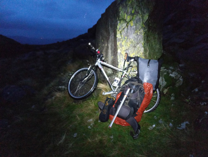
It was now mostly a gentle pedal/coast down the valley, and I parked my bike at Troutal - locking it to a fence. There were plenty of tempting camping spots along the way down the valley but I was intent on reaching Seathwaite Tarn area this evening.
After a quick redistribution of equipment into my backpack, I was glad to get my woolly hat on and start the walk. Its an easy walk up to Seathwaite Tarn across sheep pasture and modestly steep, but clear, path. The wind had picked-up a little and there was a constant threat of rain/sleet, with occasional short showers, so I was looking forward to getting the tent up.
Before reaching the tarn I spotted a good tent pitch - sheltered behind a rocky outcrop (OS ref: SD 242 986); after circling round the area to check for any better spots I was started putting up the tent (now a little after 2000hrs) and boiling water for dinner.
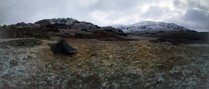
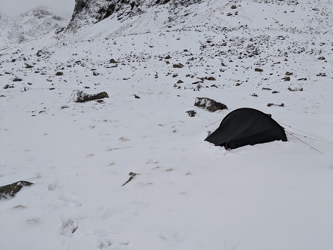
IMAGE My camping spot on Friday morning near Seathwaite Tarn - a very thin layer of snow had fallen in the night
Next morning I was woken to the distinctive sound of snow falling on the outside of the tent, it was about 0700hrs before I started to get out of the sleeping bag and make myself ready to start. The tent was dismantled in the early light.
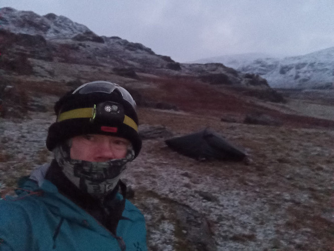
IMAGE Setting off on Friday morning at 0740hrs with the tent in the background (Hilleberg Akto) and Seathwaite Tarn half a kilometer behind
.
I had put an alert out for 0930hrs on the summit, so I was eager to get going. By about 0750hrs I was on the move, and by 0820hrs I was picking my way alongside Seathwaite tarn. The overnight snow was sitting on the boggy ground surrounding the tarn, making route finding rather tricky - it was a choice of climbing across rocky ground above the tarn or taking my chances through the bog. I chose the bog.
IMAGE Looking south across Seathwaite tarn on Friday morning
I skirted around the north-eastern end of the tarn and began heading up towards Goat Hawse. It was now modestly thick snow underfoot (knee deep in places), but the footing was good on the climb with little problems (other than the gradient).
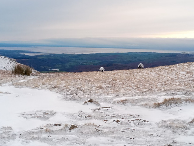
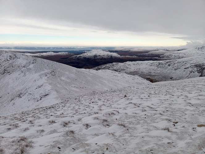
The climb was rewarded by a most excellent view from the Hawse - looking across Morecambe bay and south Cumbria.
IMAGE Sheep grazing on Goats Hawse, with Morecambe bay behind
At this point I strapped on Crampons, and swapped my walking poles for a long-shaft Ice Axe - the climb up to Old Man was a mixture of ice and fresh snow, and I didn’t want to risk sliding back down before reaching the activation zone! I took the direct path up to Old man, skirting around the top of Goats Water. This was a really pleasant climb, made all the better by an opening in the weather (the sky had cleared and the sleet subsided).
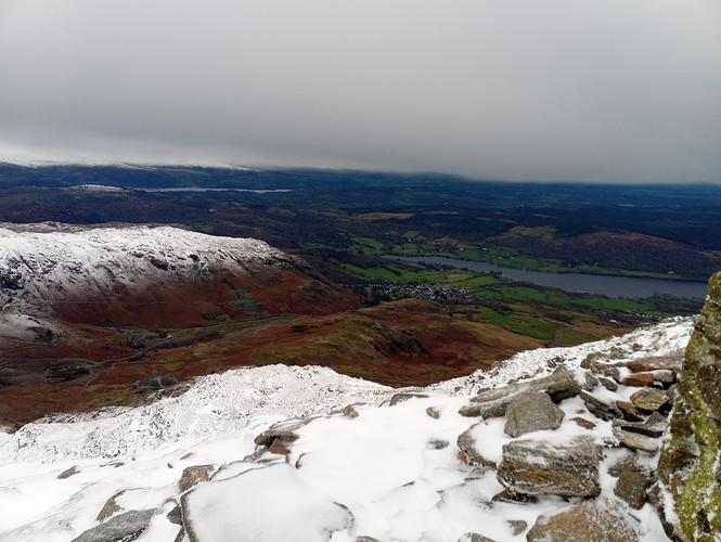
Once at the top the view was amazing -snow covering the fells above about 400-500m making the lower ground stand out in dark green/brown. I ow readied my radio gear and was quickly calling CQ.
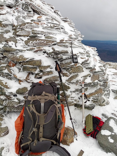
IMAGE Getting ready to activate - the rubber duck was swapped with an RH770 before calling CQ
First to answer was G6LKB followed b G0LWU, GW0HUS D G4VFL, 2E0MIX, 2E0LED and 2E0XUP (many of the above I had spoken to the previous evening on a net, so they were listening out for me). There were four more calls, including M0NOM (pleased to make another contact with, after the S2S the previous week).
IMAGE Panoramic summit view - Coniston water (left) to Funess Fells (right)
IMAGE Coniston down below strong text
It was soon time to descend - and I was now about an hour behind schedule thanks mainly to taking longer than expected to skirt around Seathwaite tarn (and getting out of the sleeping bag a little later than planned). The descent was relatively quick, and I was looking across the valley to Harter fell (G/LD-028) -my next destination.
IMAGE Harter Fell (centre) from Coniston Old Man - descending to Goats Hawse
The route back to the valley was much easier, as i was now able to follow my footsteps in the snow, and avoid any nasty boggy bits. I reached my bike shortly before midday, and changed into cycling shoes for the rid up to the top of Hardknott pass. I had to walk the bike up the lower part of the pass, so it was almost 1300hrs before I reached the top. The weather by know had deteriorated to steady sleet and wind.
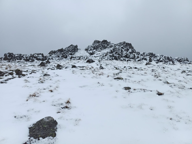
I locked my bike to itself (I can’t imagine too many opportunist thieves on a day like today) and set off across the moorland to Harter Fell (G/LD-028). Only the OS 1:25000 map shows a path on this route (the Harvey maps omit it) and I was glad to see it was a clear path that was easy to follow for much of the way. Once above about 400m the snow thickened underfoot and the path was indistinct - but the summit was clear in the distance.
IMAGE Approach to Harter Fell (G/LD-028) Summit
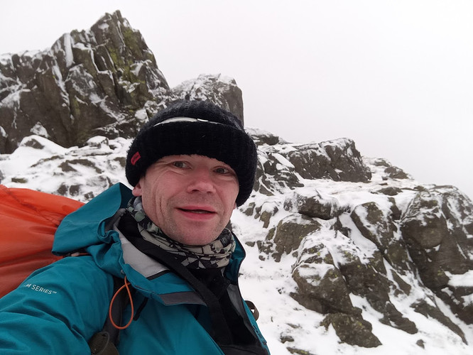
The top of the summit is a rocky outcrop, so the ice axe was back out to belay any unfortunate slips. The weather had become increasingly foul, with driving sleet and strong winds (30mps gusting stronger) - the summit was not a pleasant place to be. I wedged myself between some rocks adjacent to the trig point. It was now 1410hrs (about the time I had originally planned to be on Hard Knott)
I was pleased to get an immediate response to my CQ - this time from GW4ZPL. Second caller was G1OHH (Sue, Lancaster) followed by many callers from the previous summit. I noticed back at home that M7SDO had spotted me after hearing the QSO’s on both Harter Fell and Old Man through the Jodrell Bank WebSDR.
I made 9 QSO’s in total - and was pleased to be able to start the descent from the summit outcrop. The route back to Hardknott did require some attention, as for the first 100m of descent the stronger paths try to lead you down into the valley. Demming Crag and Hardknott Fell were useful landmarks to keep on track. At this point I was seriously considering abandoning the attempt on Hardknott. I’ve not been onto Hardknott before, and the map suggested fairly broken ground that would unpleasant in the dark and snow (in addition to tiredness) - I was now racing against loss of daylight.
IMAGE Summit of Harter Fell (G/LD-028)
Back at the top of the pass, after a careful look at the map I decided to continue - the investment in energy of cycling the top of the pass, plus the carrot of a Winter bonus pulled me on.
The route across to Hardknott was a slippery, slushy mess - a mixture of boggy flat bits combined with some stepper parts covered in half frozen slush. It is only around 1km to the summit which I reached at 1550hrs - coinciding with sunset.
At the summit I made QSOs with 2E0MIX, G0LWU, MD/EI7HDB, G0MHF, G0HRT and 2W0UAS. I was relieved to easily make the necessary number of QSO’s - I had thought that this modest fell, surrounded by much bigger fells, might be difficult. With darkness snow moving-in, the wind gusting ferociously, and sleet pelting-down, I had to go QRT before responding to all callers.
Apologies if you were trying to speak to me, but I really wanted to get of the rocky top before it got much darker. Had it been a 10 point fell I might have stayed - but thanks for calling me, I did appreciate the speed with which I qualified this summit.
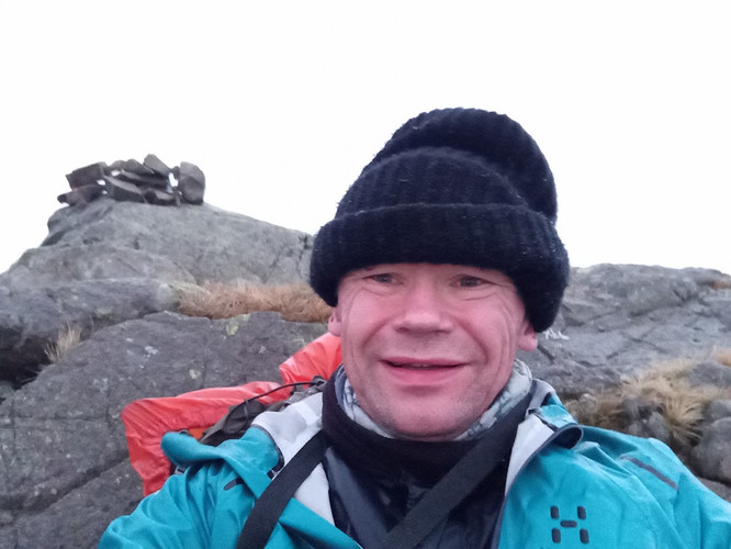
IMAGE Summit of Hard Knott (G/LD-034) - conditions don’t look so bad in the photo!
It was slippery walk back, and I even donned crampons to help with parts of the walk. By the time I got back to the pass it was dark, and I was walking by head torch again. I always enjoy days when I have spent the whole day – dawn to dusk - hiking.
IMAGE Back at the top of Hard Knott pass - ready for the ride home - time was 1626hrs
Back on the bike I scoffed a packet of Jelly Babies before heading, very carefully, down the pass towards Eskdale. It was a relief to get down into the Esk Valley (the descent of Hardknott pass felt quite treacherous). Frequent handfuls of more Jelly Babies, plus some occasional raisins, fuelled the ride home, I was back by about 1900hrs.
Many thanks for all those who chased me, an thanks also to those who gave me a spot - it was much appreciated. Apologies to anyone I missed on Hardknott - I plan to make the same expedition in January or February so I will be back!
.
