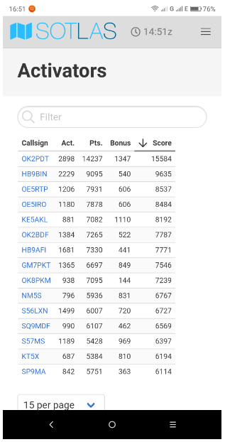
Vy nice tool. Nice to see all the summits in one map. Also the stats for activators with graphs are vy nice. Vy usefull. Thanks for the effort. I will use it quite a lot.
Maybe in the future an app for the smartphone ?
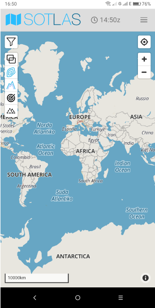
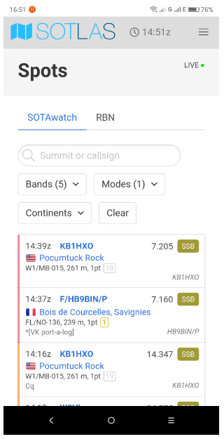
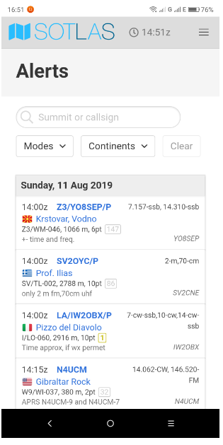
Hi Tonnie - simply access the website from your Smartphone browser - the pages reformat to fit a smart phone screen. In fact it also now has menu items to look at spots and alerts (with filtering on the spots). This is starting to be a “swiss army” tool (I suppose given where the author is located - that makes a lot of sense!)
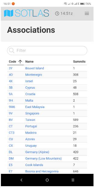
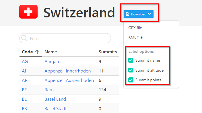
I learned today that there is a GPX download option on the Summits - Assocations Page.
And Manuel was kind enough to implement 2 wishes I had: In the GPX File you can click on options to include the Summit name, the Summit Hight and the SOTA Points for the summits.
AFAIK the only SOTA GPX Download with this feature.
Can you explain what you would do with such a GPX file ?
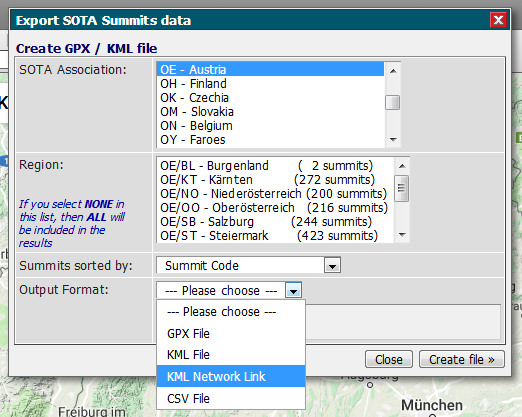
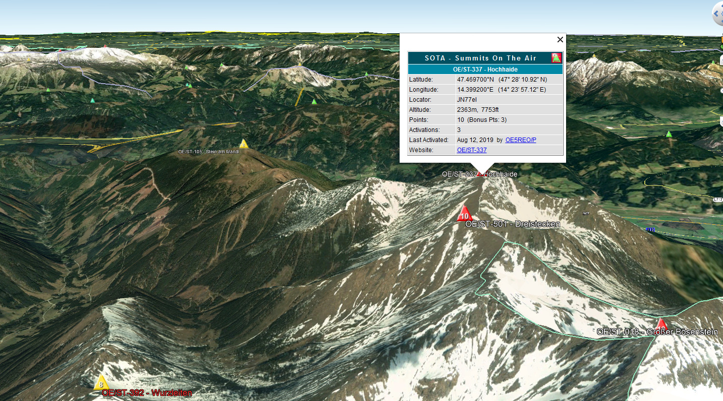
I guess I can open a kml file in Google Earth.
I tried downloading a gpx file and I can open it in e.g. Basecamp, and yes, I see all the summits, but that is the same as watching the summits directly in SOTLAS (where I can also go to other map types (OSM, OCM, OT etc).
What would be nice is to have a GPX download button per summit , IF there is a track available.
Don’t know if that is possible, and what if there is more than one track posted …?
Currently it is not possible to upload tracks (or photos, route descriptions etc.) to SOTLAS, but it’s something that I have in mind for the future. Then of course it would be possible to download the tracks as GPX files (either individually, or there can also be multiple tracks in a GPX file).
Same here, I do all my SOTA Planing in Basecamp. I add parking places, try to estimate hiking durations by drawing routes, I import Tracks after activationg a summit and finally I store the nessesary information on my Garmin portable GPS divice.
I would like to see a new tab open when you click on a link to open the info page for a summit. I hate having to keep hitting BACK to get back to the map.
As for me Sotlas has become the central website of the whole SOTA program. There are only a few links I miss - links to SOTA Reflector, Watch, Mapping, Database.
Please, Manuel, could you implement them to make Sotlas even more useful?
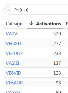
Yes, that’s correct; it supports PCRE. I plan to add support for regexes to the other filter input fields as well, as regexes can be useful and don’t interfere much with users that don’t know them and just want to search for substrings.
 Just seems that would be the default from a usability standpoint.