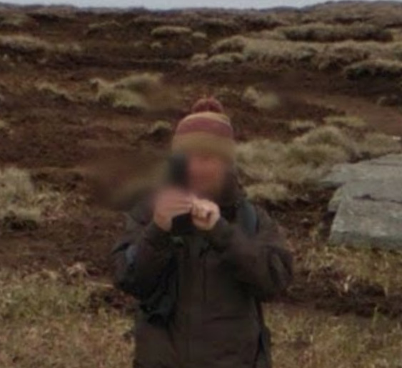
Andrew - neato!
Ah OK. Then my earlier question has been answered as well. There’s no privacy anywhere any more.
I suppose the spy satellites and constant phone tapping that started a few years ago has put a stop to all that and we’re in 1984 mode where the governments know everything … except what to do.
73 Ed.
I think they just fuzz over the facial details as here in “street view” of G/SB-008 Google Maps
Jim
I see what you mean - I bet the person taking the photo of the guy with the crazy rucksack didn’t “fuzz” his (or her) face out …
Ohhh Shucks guys…
We just lost the little man in the corner of the Satellite maps who provided placement for Street View…
What are we to do now?!
It’s OK guys, I found him now again…by finding a photographic link to Goggle Maps close but the POI on the satellite map “View on Google Maps” , Google a fresh satellite view window appears and the little man is back there in the corner. I can work with that…
73 Phil
Post 28 maybe?
Yes, Andy I missed that post. Just found him by trial and error…
Glad you are sorted Phil.
Rob @DM1CM, this change is actually working much better than I expected. I’m planning some activations in F/CR and F/PE for the end of September and now I can have a view of the area in Sotamaps in one tab using Open Topo, double click a likely target, then use the 3d views and Streetview in the Google Map tab to look at whether the summit is a serious hike or a jolly stroll in the French countryside and where the best parking is. The fact I can leave the Sotamaps view as is and play with the other tab actually makes do this a lot easier than it used to be.
Rob,
I can no longer open the Range settings.
73,
Rod
Rather than start another thread: there seems to be a problem with the row of buttons on the bottom of the summit listing area on the left side of the sotamaps screens. i.e. “help, search, settings, export.” None seem to work for me (I was trying to export).
Tested on current versions of Chrome and Safarai on MacOS and Chrome via a chromebook.
Hi Andy,
Yes, fair comment, I’ve also been playing around with this new change, and found it to have advantages. We’re also considering removing the panorama option from the summit marker popup window, since this is also basically a StreetView object, and SV is proving to be really costly - in real cash terms!
Range page errors: working on it…
UPDATE: Errors in multiple pages - this is VERY strange… trying to pin this down…
OK - cracked this - I have a sneaking suspicion that something on the server has been updated very recently, with the effect that certain things would not run as before. So, certain dialogs were not being correctly initialized. All OK now 


Except: upload GPX track doesn’t appear to be working. I’ll look into this tomorrow morning…
Thank you Rob.
Planning a trip to G/SB and GM/SS so very useful.
73,
Rod
@DM1CM Rob, I was trying to draw some routes on the map and download them and I got the following message.
<br />
<b>Notice</b>:  Use of undefined constant GMAPS_SERVER_KEY - assumed 'GMAPS_SERVER_KEY' in <b>/var/www/html/sotamaps-dev/sotamaps_tools_functions.php</b> on line <b>1762</b><br />
{"tempFilePath":"smp_tmp","tempFileName":"kml415ab","tempFormat":"kml","exportFormat":"kml"}
To reproduce:
- Don’t log in
- select tracks mapping page
- select association, region and summit
- click draw track, activate drawing mode
- enter a route
- click download
- fill in the dialog, doesn’t matter GPX or KML
- click download a few seconds later the error appears
If you could have a look at this when you get a moment. Thanks in advance.
Hi Andy, thanks for the message - yes, I forgot to rename a couple of constants while doing some updates, so mea culpa . Got that fixed now - try again.
And thanks also for the detailed run-down of the steps you took before the error occurred  . I wish more people would supply such information when reporting errors…
As an aside, another thing I noted was that, once the download process had started, the background call (which is where I forgot recently to rename the constant) to the Google Maps Elevations API actually returned results, so each point in the downloaded track has an associated altitude, which hasn’t happened in a long time (we always got a “maximum number of calls exceeded” error). So that’s a definite plus: let’s see how long the new account with Google permits this before we begin to get the same error back from that particularly touchy API…
Magic Rob, all fixed and working now.
As for bug reports, well I scream and moan and kick when people give me rubbish bug reports at work, I’d better do what I moan about when I give bug reports to others. 
Anyone else also having problems accessing sotamaps?
Yesterday it was only working on my mobile phone (mobile data) and not on my home pc.
Today it is not working at all. TSL Handshake with https://mapping.sota.org.uk/ taking for ever and then timing out.
Any idea what is wrong?
73 Joe

