I did three SOTA, Skiing On the Air activations, on Togwotee Pass this April. The first was Angle Mountain. The second was Two Ocean mountain. And the third was Lava Mountain, W7Y/FT-129 on 05/18/2024.
Togwotee Pass is a spectacular, wild area in Wyoming. It is located just south of Yellowstone National Park and east of Grand Teton National Park. The drive over from Victor, Idaho, where I live, is 85 miles. That might seem like a long way, but the route goes through some of the most spectacular scenery in the country. It is also one of the most remote and wild areas in the lower 48 states. I was tempted to stop and take pictures every 5 minutes, but I had to stay on schedule.
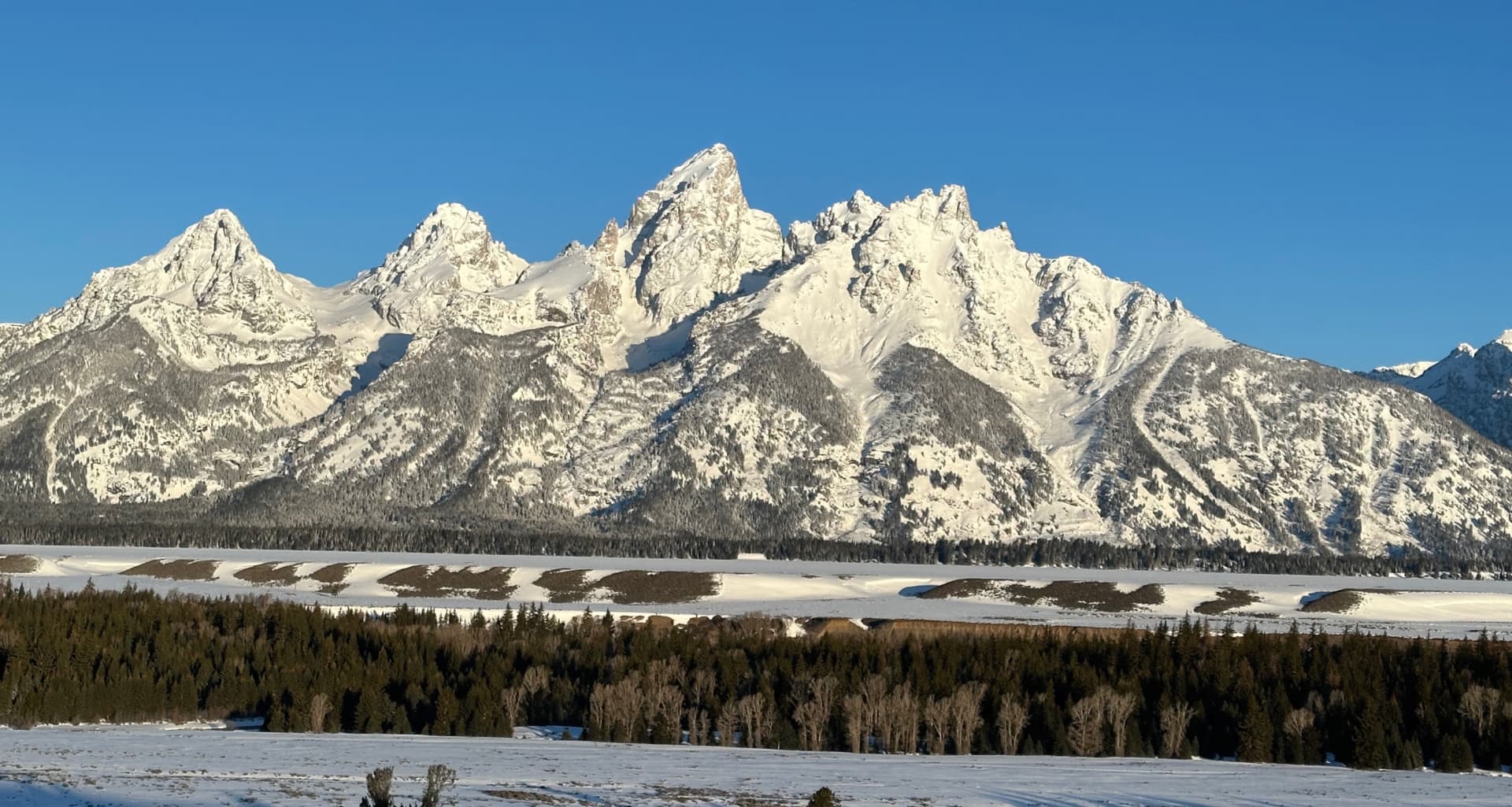
The Grand, Middle, and South Teton mountains.
As I mentioned in my activation reports for Angle Mountain and Two Ocean Mountain, one reason I prefer to ski up these peaks is because of Grizzly Bears. I prefer to not be part of the food chain of Ursus arctos horribilis. And Togwotee Pass is definitely grizzly country.

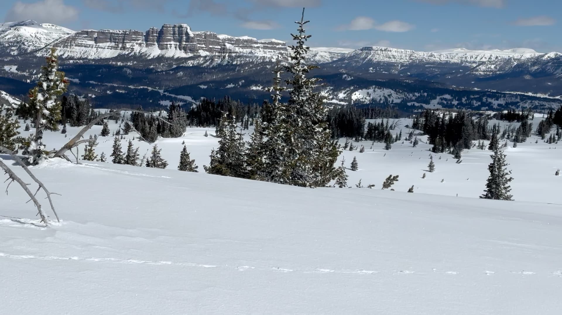
Lava Mountain
In April, it would be very unlikely to run into a grizzly on Togwotee Pass. You’re more likely to get hit by a falling airplane part.
However, as a side story, a man was mauled by a grizzly around May 23, 2024, near Signal Mountain in Grand Teton National Park. He survived because he did everything right: he laid face down to protect his vitals and covered the back of his head and neck with his hands. The bear worked him over, but he survived. Read his survival story: it’s amazing!
The tour up the mountain went pretty much as I planned it. I followed my route in a general way. When the terrain is wide open and covered with 6 feet of snow, you can go where you want. I almost always modify my route as I’m skiing up in order to do the least amount of elevation gain.
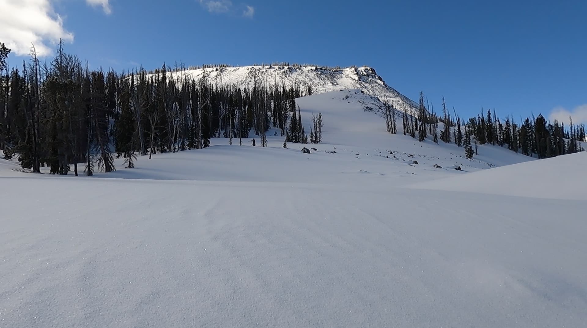
Most of the terrain on my planned route was low angle, so I was not concerned about avalanche danger. But, at the head of the drainage, there is a headwall that is 30-40 degrees for a short distance. I had to cross that somewhere. Lucky for me, the headwall was no problem.
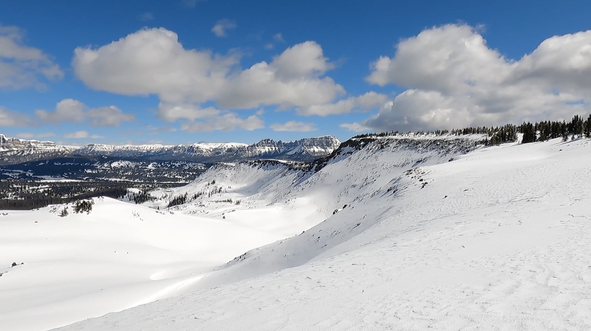
The summit had a 360 degree view of the surrounding snow-covered peaks, and I found a nice place to set up. There was no wind at the top, but I still used my Bothy Bag for most of the activation.
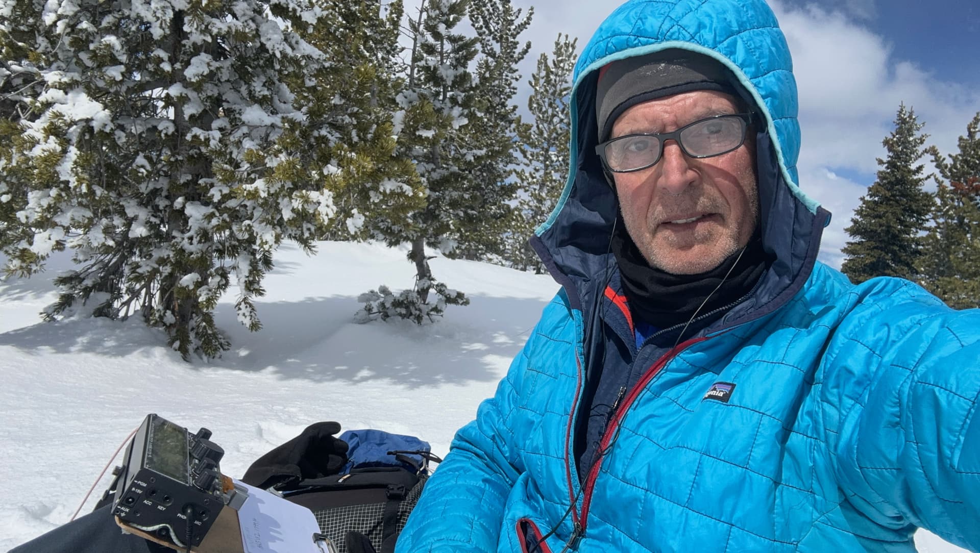
Once I got on the radio, I had a pileup that lasted for 1.5 hours. I had 74 total QSOs, 15 of which were DX. I started on 10 meters but got nothing, so I changed to 15 meters and then the radio lit up: 30 QSOs. When 15 meters died down, I switched to 20 and it was even better with 44 QSOs. I didn’t make any contacts on 30 or 40 meters. I guess I was worn out and I shut it down. And I still had about 4 miles to ski back to the car.
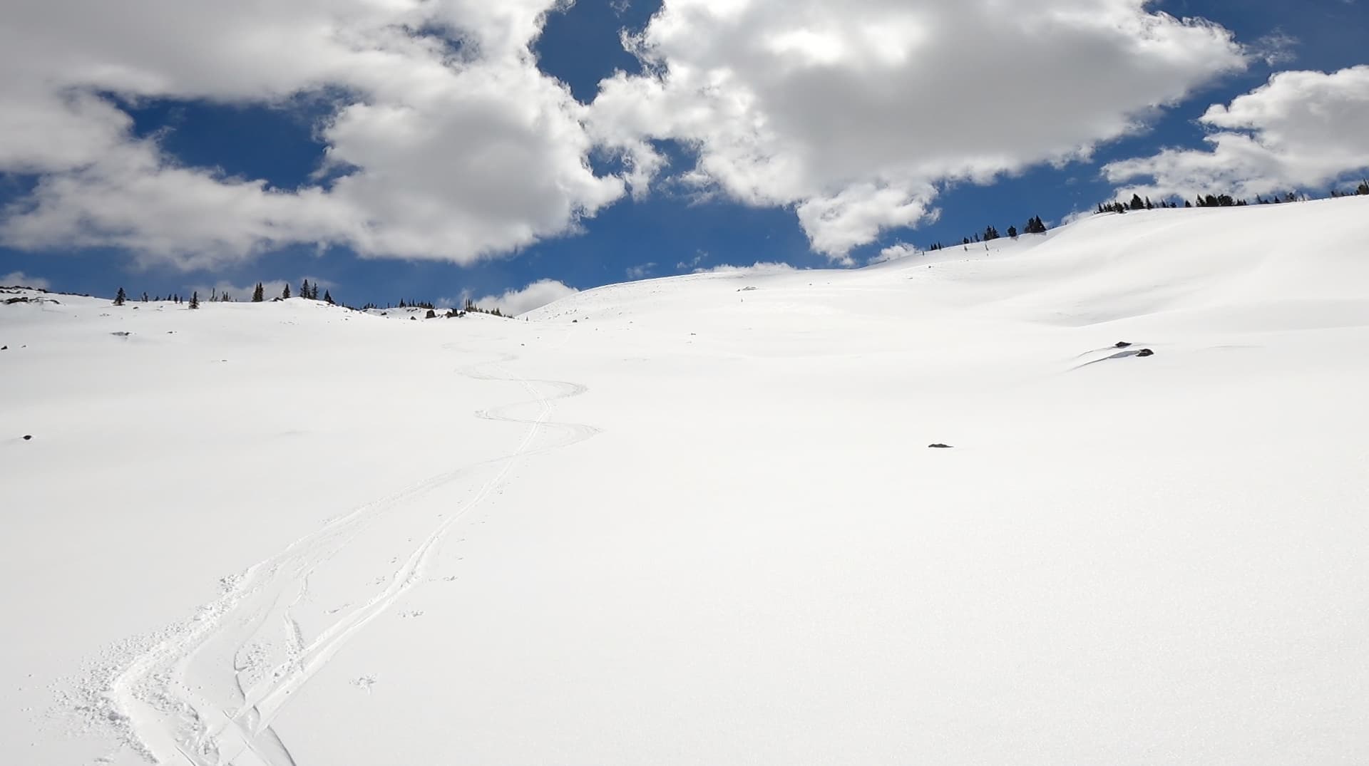
There were very few clouds so the lighting was perfect for skiing. And the snow had warmed up enough to form some nice soft corn snow on the surface. It was fun and easy skiing back to the car, but there were several climbs in between the summit and the highway. It’s complicated terrain and not just downhill to the parking lot. But still, going down was much faster than going up.
Here’s a 7 minute video I made of the ski tour and activation:
