….will see me right
Beinn a’Bhuird GM/ES-004 (1197m / 3927’)
There was a deep imbalance in The Force
Well, in my head anyway. Beinn a’Bhuird is the dark to Ben A’ans light. The Ying and Yang of the Cairngorms. Due to their great distance from the road, most folk will climb these two as a pair. Indeed, that’s what I had done on my previous two activations. Even in 2013 when my son and I had a monster day out climbing Ben A’an from Tomintoul (28 miles), we went back and did Ben a’Bhuird the next day. Except, this year I haven’t done that… And it was eating away at me. I’d climbed Ben A’an GM/ES-006 in May when I was looking for a tiny rocky place to experiment with my mini HF wire. I could and should have nipped over to Beinn a’Bhuird, after all it was a perfect day. As I write this, I cannot recall why I didn’t.
Fast forward six months. The first snows of winter have fallen and for once there is a decent forecast for the weekend. I have my pick of high summits, with options for a 30 point day, but no, it has to be the 29km / 18 mile hike of Beinn ‘Bhuird, and I’d need to qualify it on 2m, given I’d failed to do this previously.
Sunday 26th November 2023
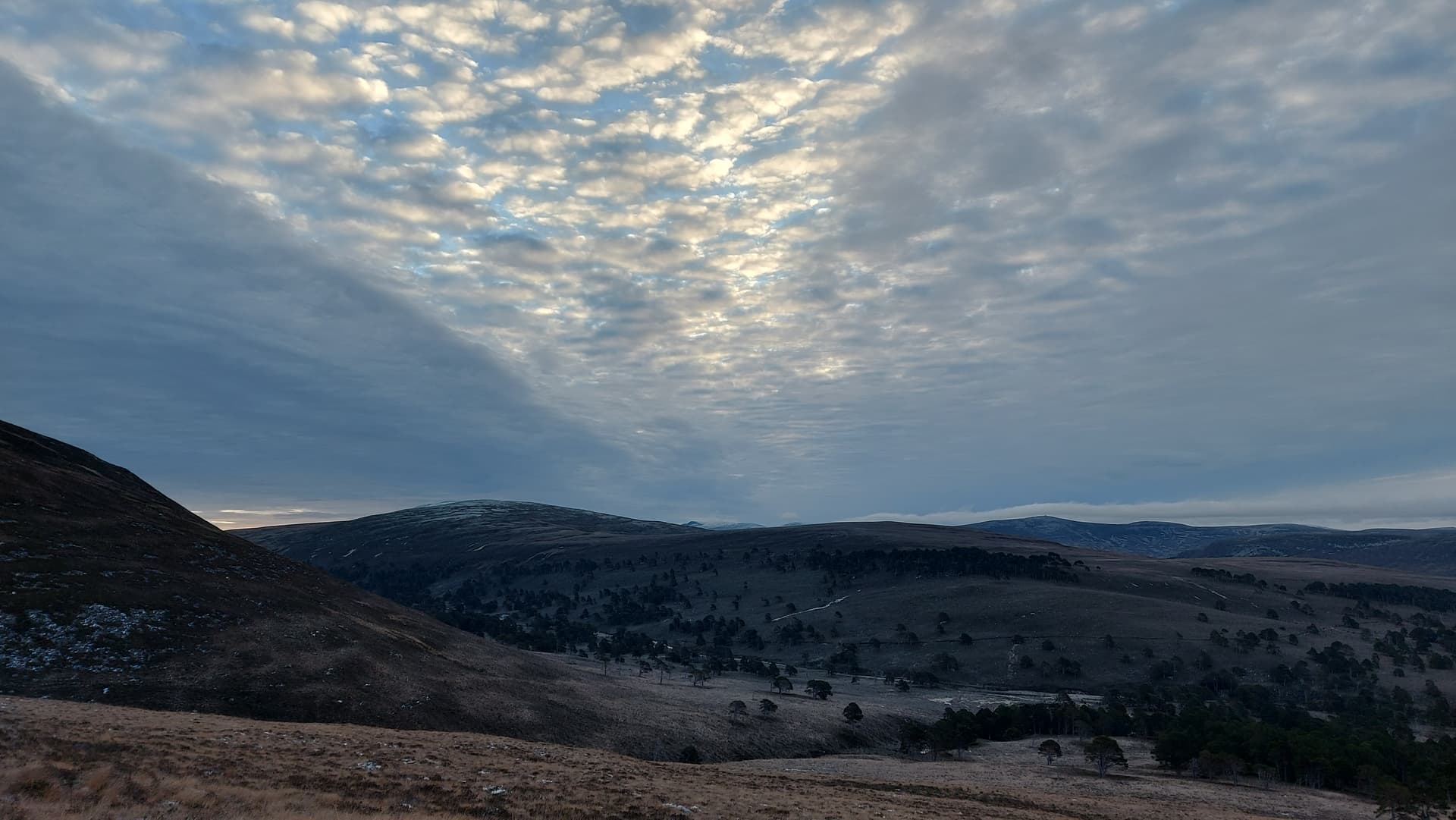
0600z sees me away from the house. A frosty morning, however thankfully no ice on the Land Rover’s windscreen. A 50 minute drive up Deeside, passing Braemar’s fabulous Fife Arms Hotel, lit up like Santa’s Grotto, even at this hour. Then up the south side of the Dee for 5 miles to the Linn, cross the river and drive back down the north side for a similar distance to the end of the public road and the car park at Linn of Quoich. I set off walking at 0705 in the pitch black. Glancing east soon showed signs of the pre-dawn, so I didn’t need to use my headtorch for more than the first 20 minutes of the hike. I would usually cycle the first 6km of this route, but I didn’t fancy it in the dark on iced up tracks. Today would be a long, long walk.
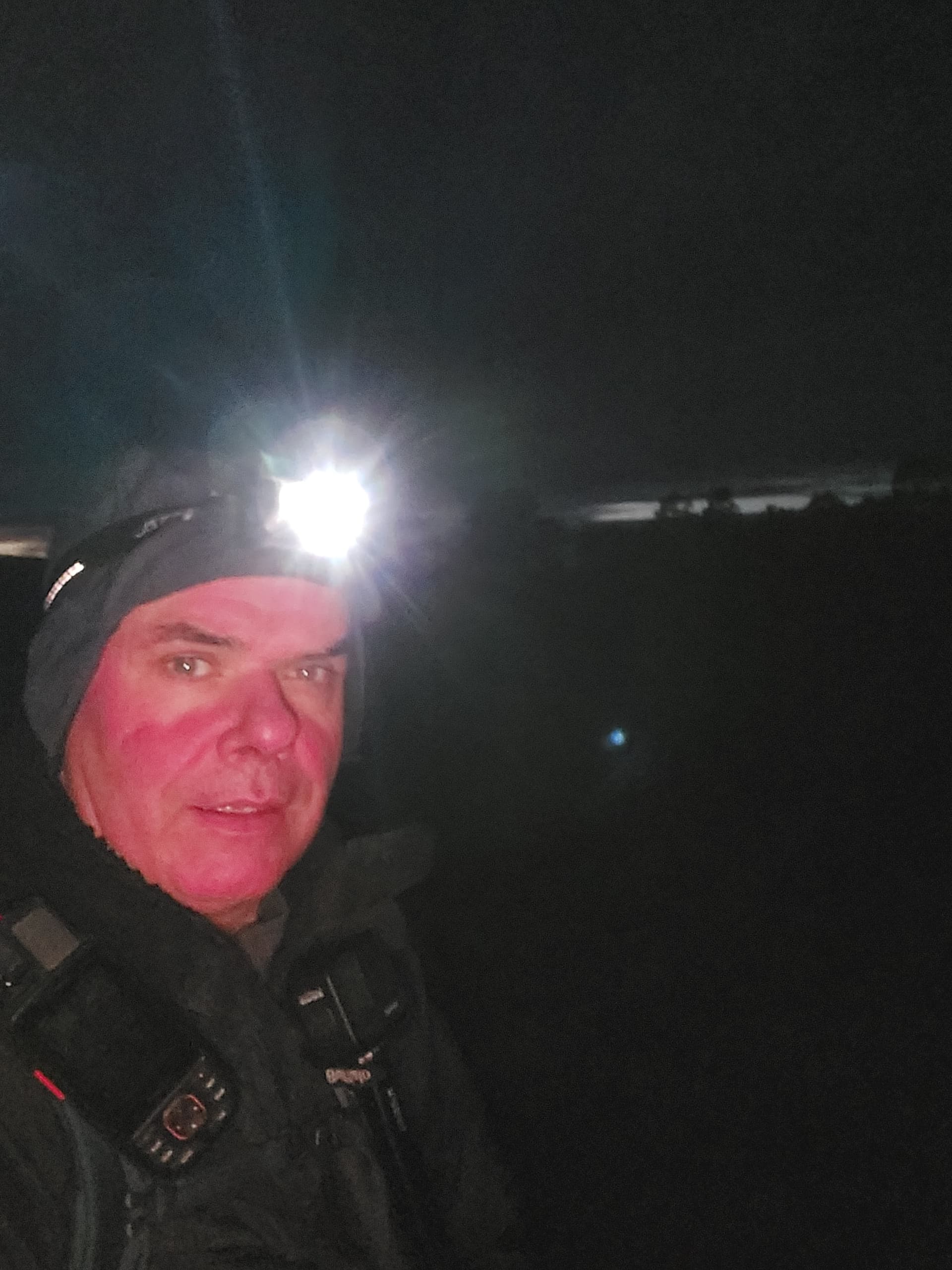
rosy cheeks and pre-dawn
The first 6km of the route took me up the west bank of the Quoich water. There was bad flash flooding here in 2015 which wiped out some of the track. The National Trust for Scotland have constructed a replacement vehicle track, which unfortunately climbs up and over a hill.
The South top of Beinn a’Bhuird in the foreground
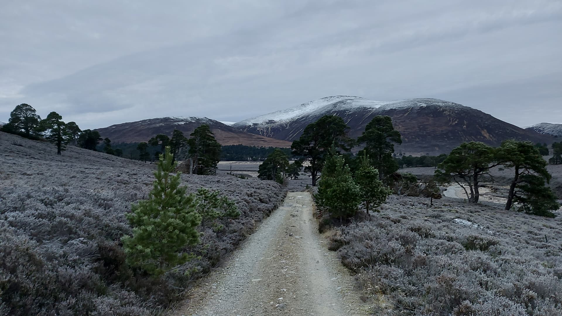
Not long after I negotiated the additional and unwelcome climb, I arrived at the ford at the Allt an Dubd-ghlinnie. It had taken me an hour and a half thus far. When I came this way in 2013 by bike, it was summer and a straight-forward shallow crossing. Things look to have been re-arranged a little since then. The river was like a delta, with many channels and gravel banks. Most channels were shallow and not too bad to cross. The final one, which I guess was the original river course, was deeper and wider. Some boulders had been placed as stepping stones, but not enough! Anyway, I managed across dry shod and followed the track up to a lovely Scots Pine wood, where the vehicle track ended and a well-made hill path started. Dustings of fresh snow appeared now. I was around 500m ASL, with around 700m of ascent to go.
looking south to brightening skies
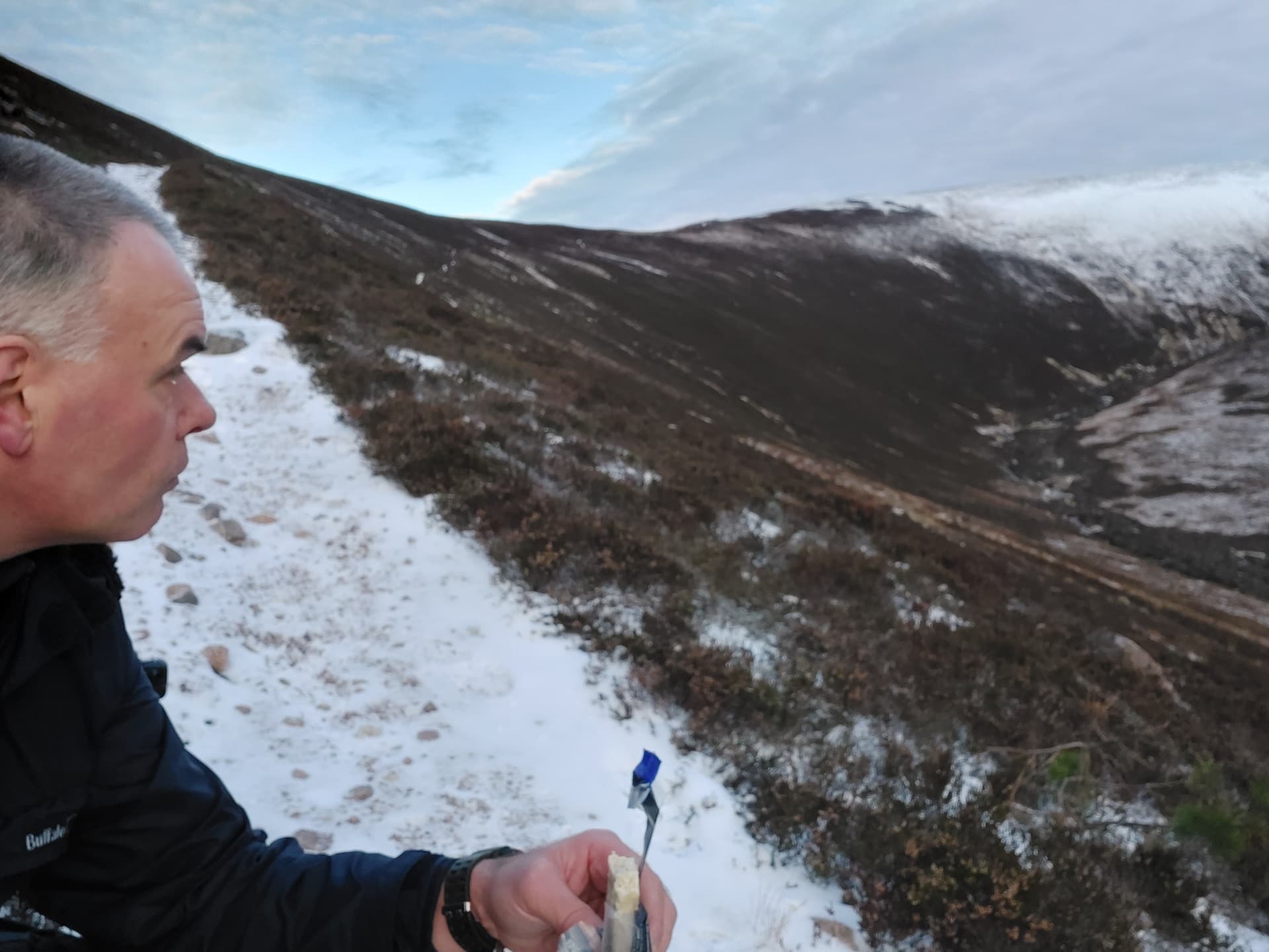
0900 and second breakfast
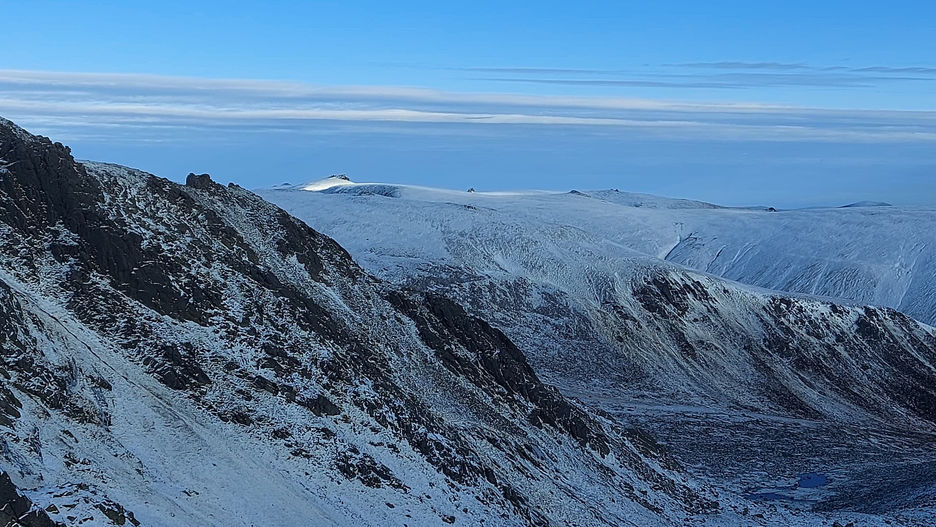
The path is well made and of a reasonable angle, skirting the eastern flank of Carn Allt na Beinne. I followed this for around 2.5km before it popped out onto a broad ridge and the views started to open up to the west. I was walking in deeper snow now, however the line of the path was still evident, continually heading north, albeit with the odd zig-zag. My eyes were for ever drawn west to the main Cairngorm massif, with nothing ahead and to the east except the broad snowy mass of the mountain.
views starting to open up
looking over frozen grasses
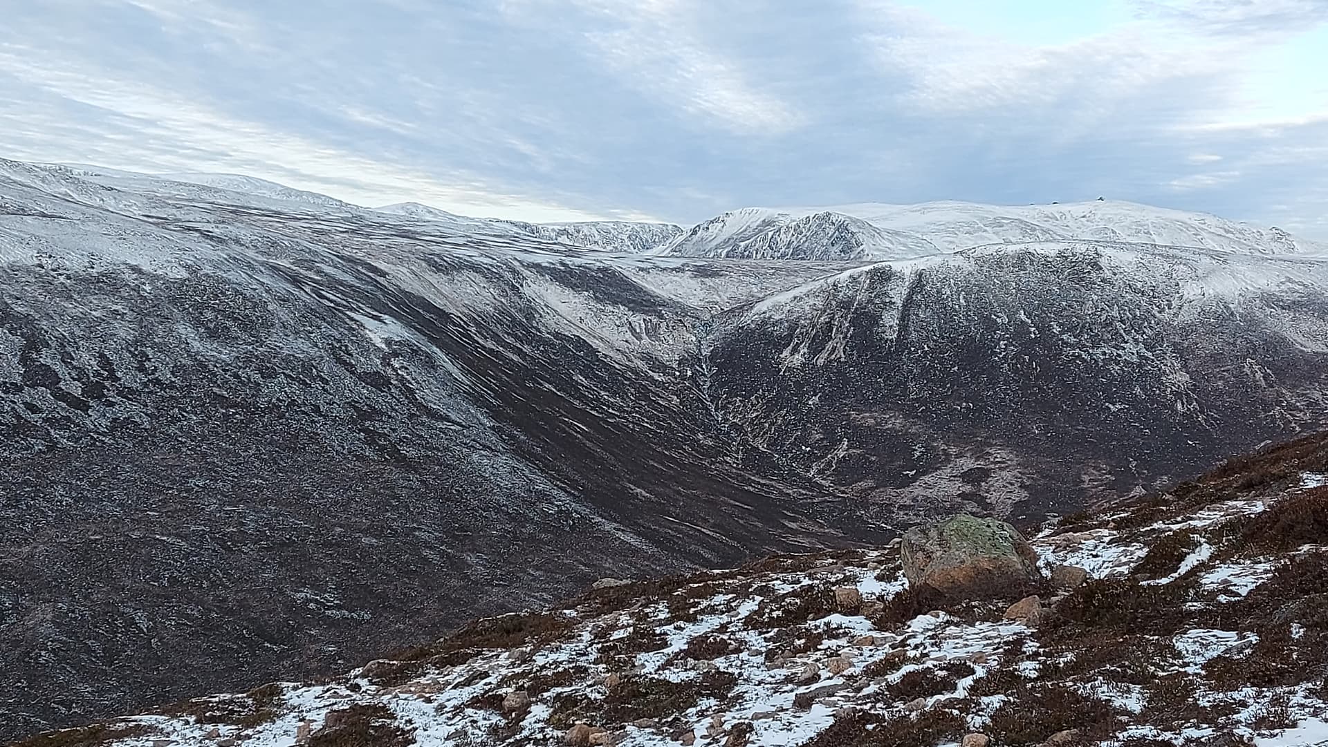
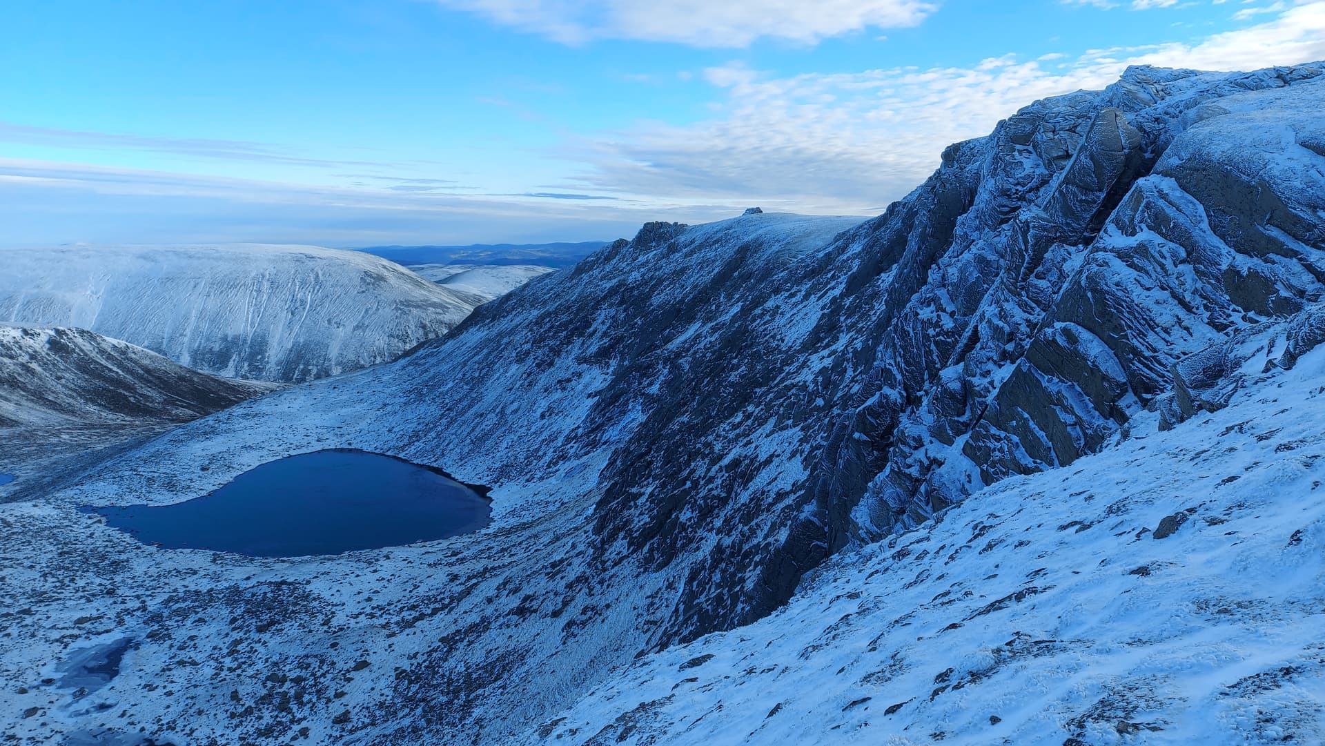
This changed instantly when the path reached the dramatic Corrie of the Dubh Lochan, one of five huge corries that form the eastern and northern flanks of the mountain.
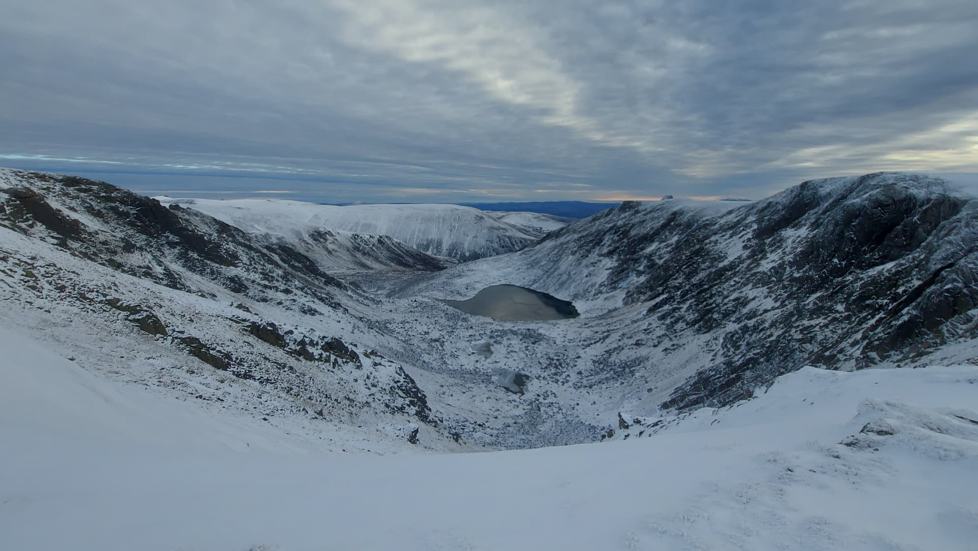
Corrie of the Dubh Lochan
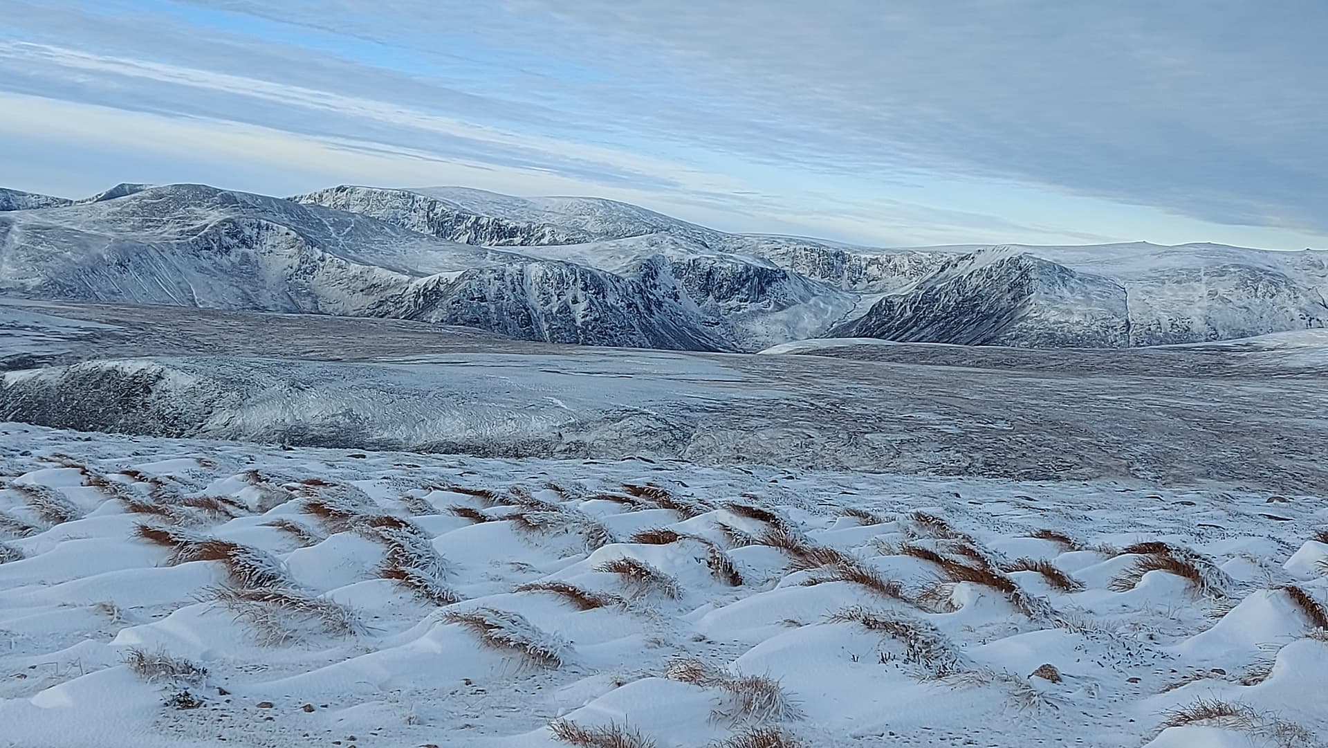
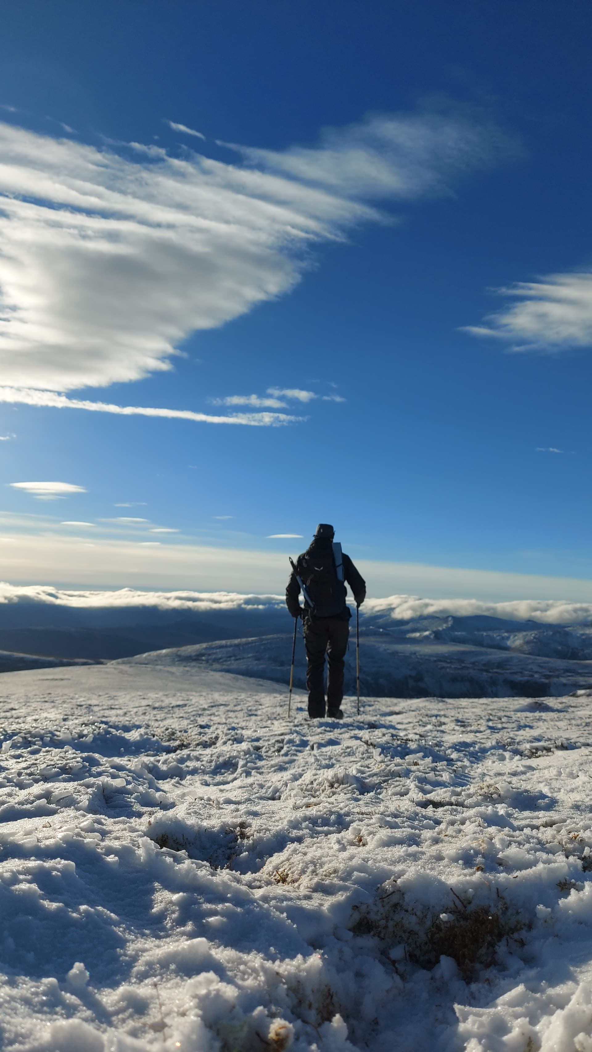
The path followed the corrie for a bit, then cut directly across to Coire nan Clach, the summit corrie. The angle of slope was almost insignificant, but my goodness, it is a long way to the summit of Beinn a’Bhuird across the plateau. From first gaining the summit ridge, it is a 4km hike to the cairn and not one you’d want to do in poor weather without excellent navigation skills.
the summit dome, visible above the corrie
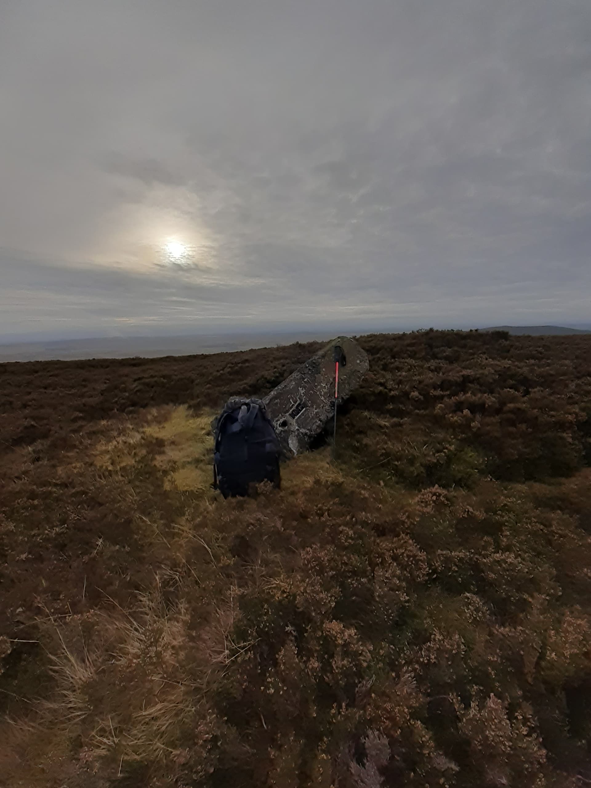
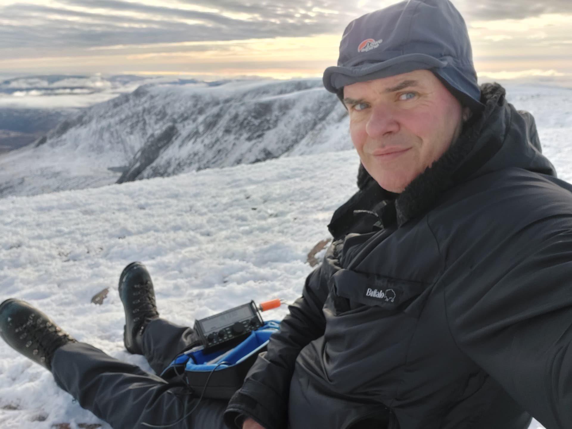
I eventually arrived at the cairn at 1045. No one else was around, so I decided to place the mast into the frozen rocks and try for some 2m FM contacts first of all. I’d alerted the Aberdeenshire SOTA posse via whats app, but neglected to post on twitter until I was walking up to the cairn. You never know what you’re going to get on 2m round here. I was very high, but also very remote.
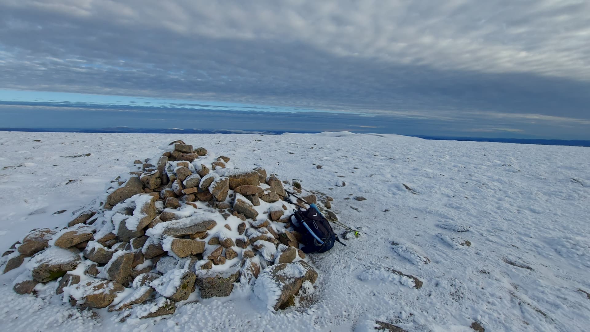
Beinn a’Bhuird GM/ES-004
I hooked up the “disposable” Quasheng HT to my Slim-G. I turned the radio on and immediately heard two English stations having a QSO! Then I realised my 4G had disappeared. Probably a case of my phone not knowing which mast to use and deciding to use none. Oh well, I called on 145.500 MHz anyway and was immediately answered by 2M0SQL Peter up in Elgin and then his friend GM1TGY Charlie from Aberlour, both of whom had seen my tweet. Next, a very weak @MM7MOX Andy from GM/SS-225, some 160km south. Finally @2M0WNA Mike got his chance and that was it for 2m for now Summit qualified! Simon would be along later, once he’d reached the summit of Geallaig Hill GM/ES-036.
I wandered over to the corrie rim for a stretch and look around. My phone sprung back to life. I’d set up HF here in that case. I retrieved my gear from the summit and started setting up near the corrie. I found just enough frozen turf on the rocky summit to arrange three guys and proceeded to raise the mast along with my 12.5m / 41’ random wire. As I’d planned on using the 10m band today, I did think of taking a resonant antenna, however that would have meant carrying more stuff and also my 7m Spiderbeams pole. I saw some sense when I picked up my pack, filled with winter gear, food, axe and crampons. The compromise antenna and carbon mast were the only sensible option on a day out like this one.
HF Setup
As promised I started on 10m SSB, running 5 watts. Not by design, but because I’d been testing microphones at home using a tiny SA and forgotten to change the settings. My 10m signal was a laser beam to Portugal, with four of my six contacts being CT. The other two were Polish. I tuned down to 17m and put another ten in the log, all EU, however three summit calls from @SV4SWQ, @SV2RUJ and @DL1CR.
happy times on 10 and 17m SSB
It was now past 1205 and I’d been on the summit for over an hour. I had a long way to go to get back and I wanted to complete this before darkness. Oh, I’d forgotten about Simon! I glanced at whatsapp and saw he’s reached but was having coax issues. I took the opportunity to pack up, whilst still monitoring the handheld. Then I had lunch. Then I looked around and took more photos. Finally, at 1225, Simon appeared and we had a brief chat on 2m FM, 5/9 both ways as we were LOS and just 20km apart. Despite the temperature, I wasn’t really cold. I’d had my Buffalo shirt on since the outset and it was a windless day with dry air. The usual creeping dampness wasn’t around. None the less it was time to push off and head down.
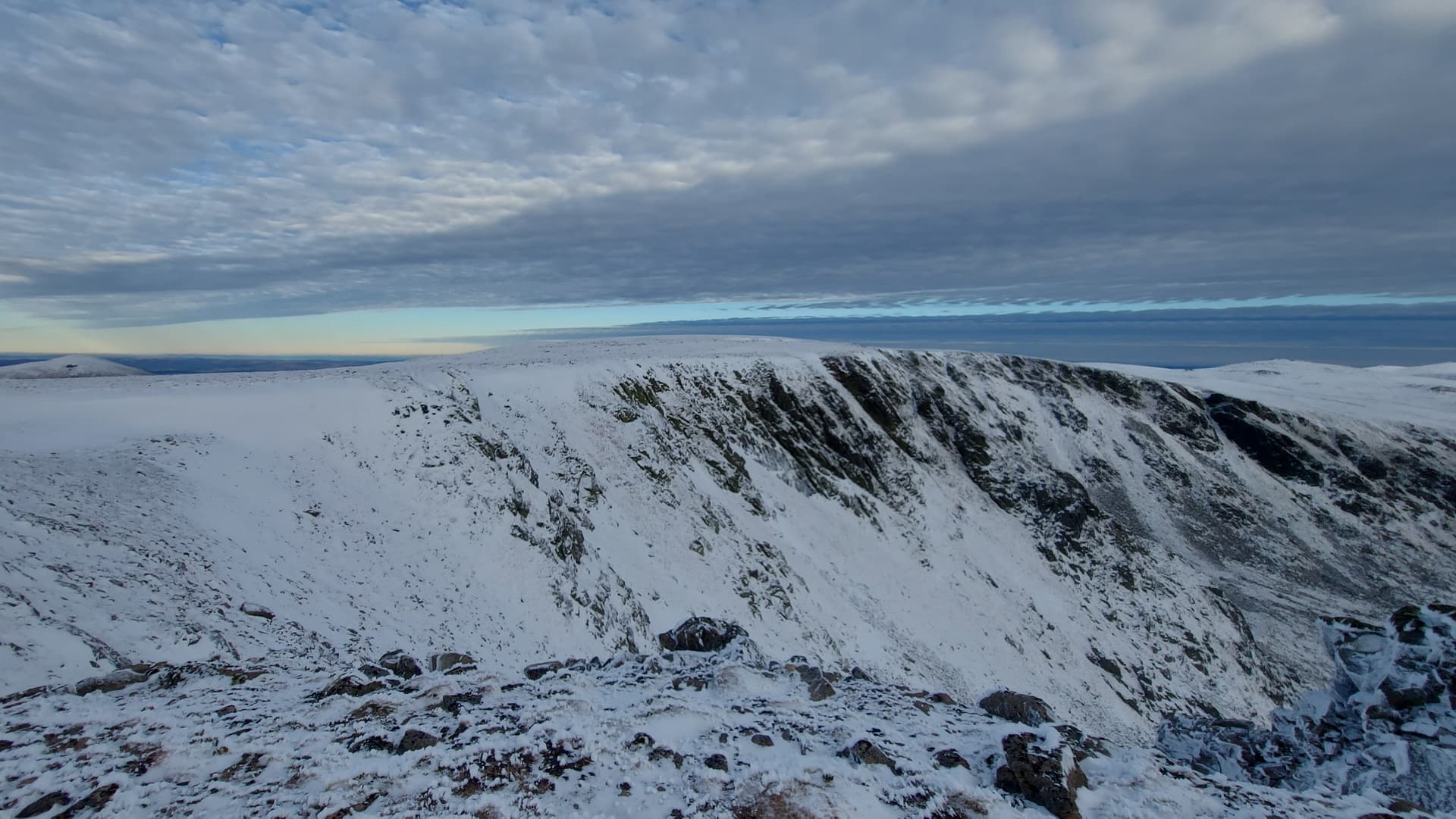
I followed the corrie rims as much as possible on the way back, probably too far as I nearly ended up climbing the south summit and I missed the path cut off. Never mind, it was worth it for the views.
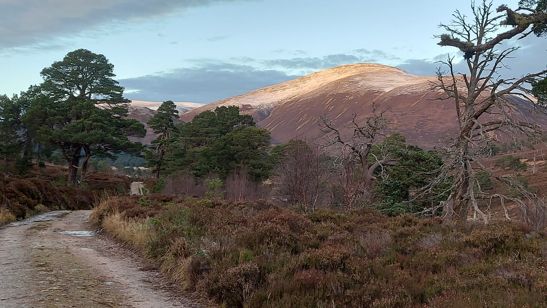
The not-so-distant summit of Ben A’an GM/ES-006 bathed in sunlight
hoar ice on the corrie rocks
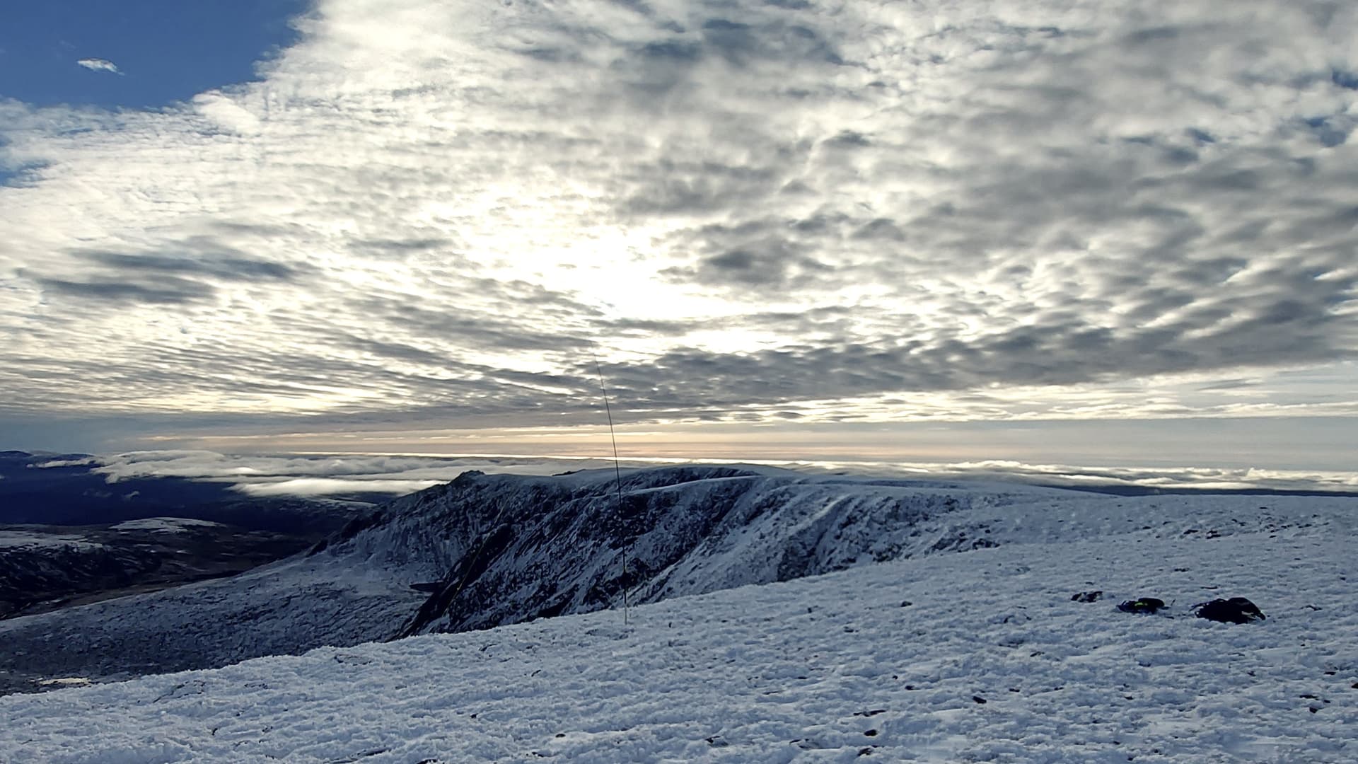
During my activation I’d noticed cloud moving in from the south. Indeed, many of the lower summits around Glenshee had been obscured all day. As I headed back across the vast plateau, the cloud bank rolled ever closer, like a slow creeping death. Off to the west it now obscured Beinn Bhrotain and crept up the flanks of the mighty Cairn Toul. Above me though, blue skies and warmth, so much so that the Buffalo had to come off and I descended for a while in my under top, feeling the rare warmth on my skin.
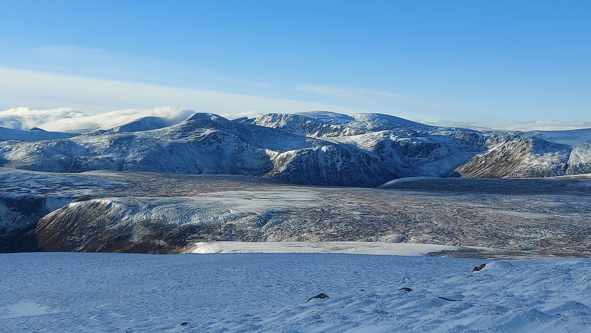
a final look over to the summits to the west. Some of the highest mountains in The British Isles
the descent
As I dropped down away from the plateau, I took one look back at the bulk of the mountain. It was still clear. I’d made a good choice today. Soon I was back at the ford and decided to stop for a second lunch. By the time I’d finished that it was 1445 and I knew I had an hour and a half ahead of me along the main track. And that’s what it took, with me arriving back at the Landie at 1615 in the fading afternoon light.
final glance back through the Scots Pine forest
Summary
Tired legs at the end of a long day, but so worthwhile. I actually had an entire 100km² of the National Park to myself. It was such a peaceful day out, with my only company being a couple of hares and some seasonal Snow Buntings whizzing across the plateau. Beinn a’Bhuird is a huge lump of a hill, but is worth the trip for the vast corries, and in the summer, the sub-Arctic landscapes. On this occasion, vast, ever-changing skies and hoar iced rocks provided the visual delights. It was great to bag it on 2m on my third visit and to have success on 10m with 5w into a random wire. My last trip up there was on my multi-day hike across the Cairngorms and I was forced to camp on the summit for the night, having scraped six 40m contacts at 7.30pm in the rain, and that was in August 2022. Nine tops on the way to Glen Feshie
Now the itch has been scratched and balance restored, and to quote The Foo Fighters, “It’s times like these we learn to live again”, which was the song on repeat in my head as I walked the long and lonely miles back to the car park.
73, Fraser MM0EFI