Back in April did a walk from Sighty Crag (G/SB-005) to Cauldcleuch Head (GM/SS-106), but had to miss out a summit in the middle of the walk due to time constraint. That summit was Blackwood Hill (GM/SS-199), and I mentioned at the time that I would head back to activate it later in the year.
My cycle tour in July also missed out the hill. This August I had a family holiday booked in a cottage near Coldstream. For such holidays, I generally cycle there and activate some hills along the way. So this gave a great chance to finally get Blackwood hill, along with a few others.
Setting off from home, early on the morning of Thursday 20th August I headed though Carlisle and up the A7. I stopped briefly at a cycle shop in Longtown to stock up on inner tubes and then headed up to Canonbie, where I had a tea break and since I was now in Scotland, a Tunnocks biscuit. The weather was partly overcast with the threat of a few rain showers, which seemed fine to me. I prefer not to have too much sunshine when cycle touring.

Lunch in Newcastleton
The road up to Newcastleton is a a very pleaseant ride, with views across toward Slighty Crag (G/SB-005) and up to Larriston Fell (GM/SS-161), bringing back memories of my walk back in spring.
At Newcastleton I paused for lunch, and had a bit of a mishap. My cycle mounted 2m antenna has Rg58 routed to the handlebars for connection to a radio. The BNC connected on the cable was disconnected, and the cable flopped down into the spoke of my wheel, which neatly sliced off the cable.
Fortunately, I had a total of three sets of cables with me, so this would not affect my ability to connect my QMX radio to the EFHW I use for HF on SOTA activations, I am a believer that if you don’t have a spare for the spare, then you don’t really have a spare at all. However, I am suspicious that this mishap led to a failure that I discovered on my way home 10 days later.
With lunch sorted, I continued up the road, taking the fork for Bonchester Bridge, and eventually turning off at Steeleroad-end and then joining a forest track for a short distance. My touring cycle has 28mm tyres, and is veryu much a road tourer, but it does okay on forest tracks if they are not too rough.
The forest track joined the old Waverly line, and railway that used to run from Carlisle to Edinburgh via Hawaick. The line has been recently reinstated from Edinburgh down to Galashiels, with further considerations underway to extend it further. I can’t see that it is very likely that the extension will make it past Hawick though.
At a junction in the forest track I locked my bike to a tree, as the surface was getting a a bit rough. I then continued up the track . I was expecting to have to strike up to the summit along a firebreak, and was already copiously sprayed with tick repellent in preparation. I spied a likely option but decided to keep walking, hoping for something better.
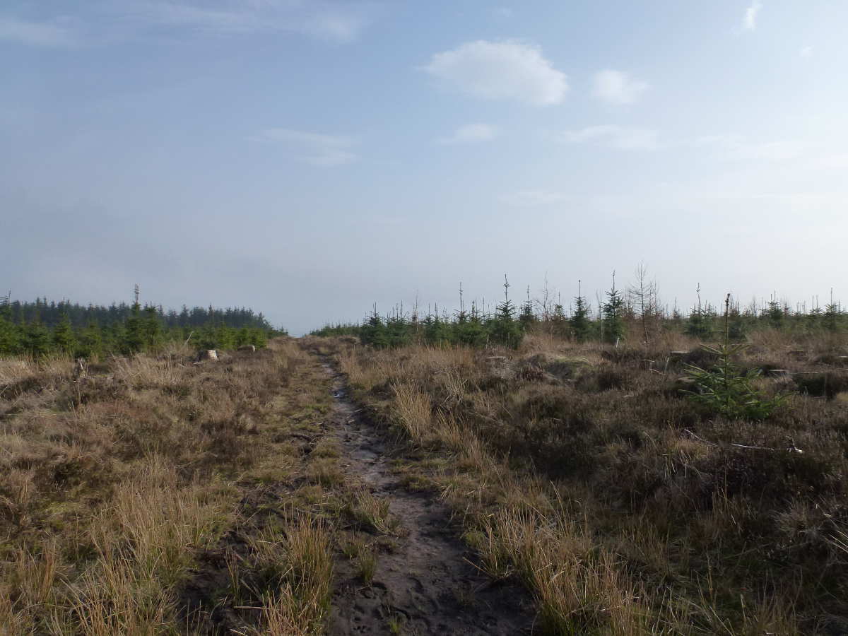
the forest track ended at NY535956 but I was delighted to find a path continued upwards to the summit. The path was rather overgrown in places, but had a covering of stone chippings which made for easy going.
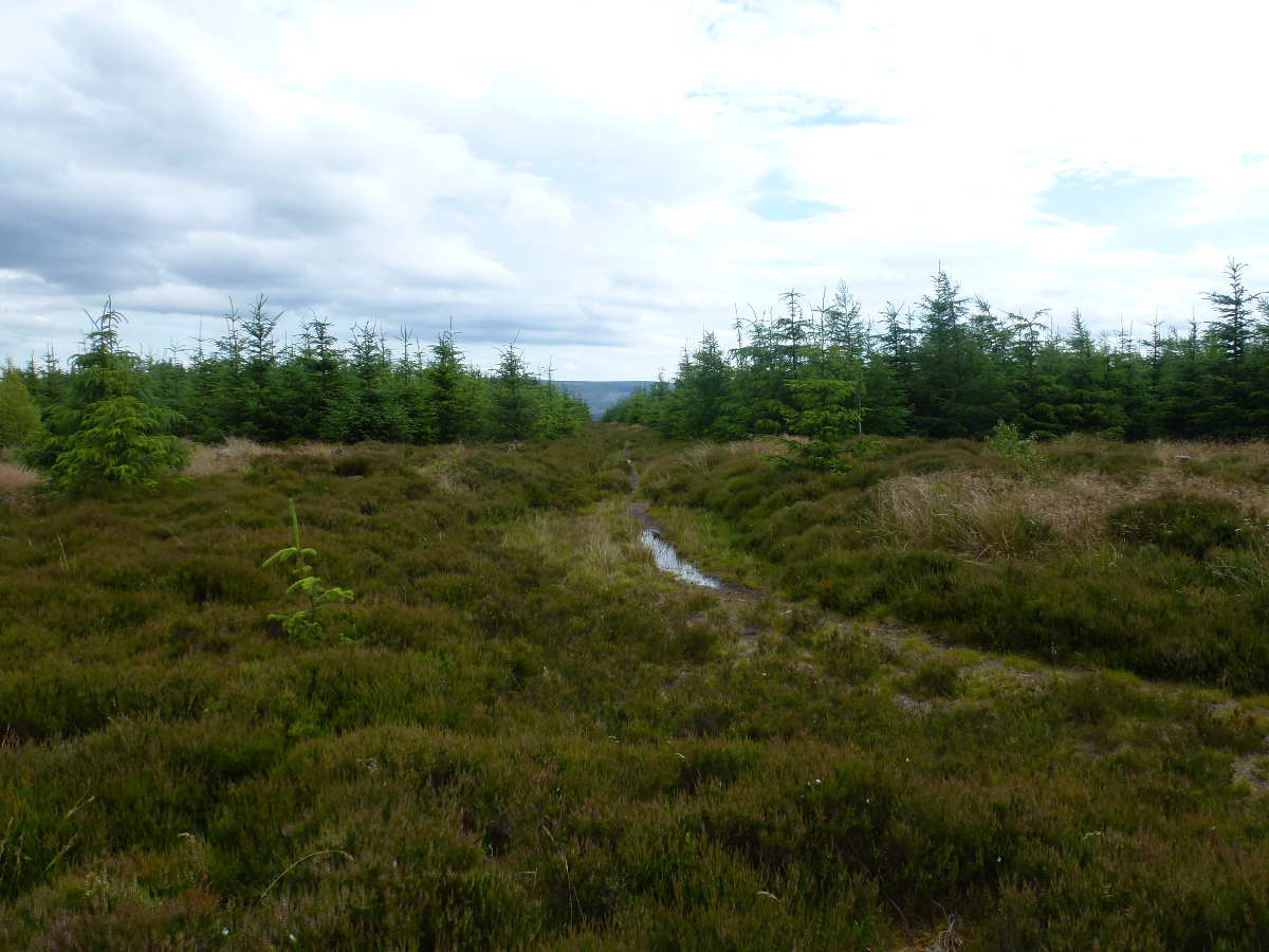
Near the 375m contour, the stone chippings gave-out, and I followed a animal track up through the firebreak to reach the fence on the summit ridge. The firebreak topped out on the ridge within the activation zone, but i walked a bit further up to the summit just to be sure.
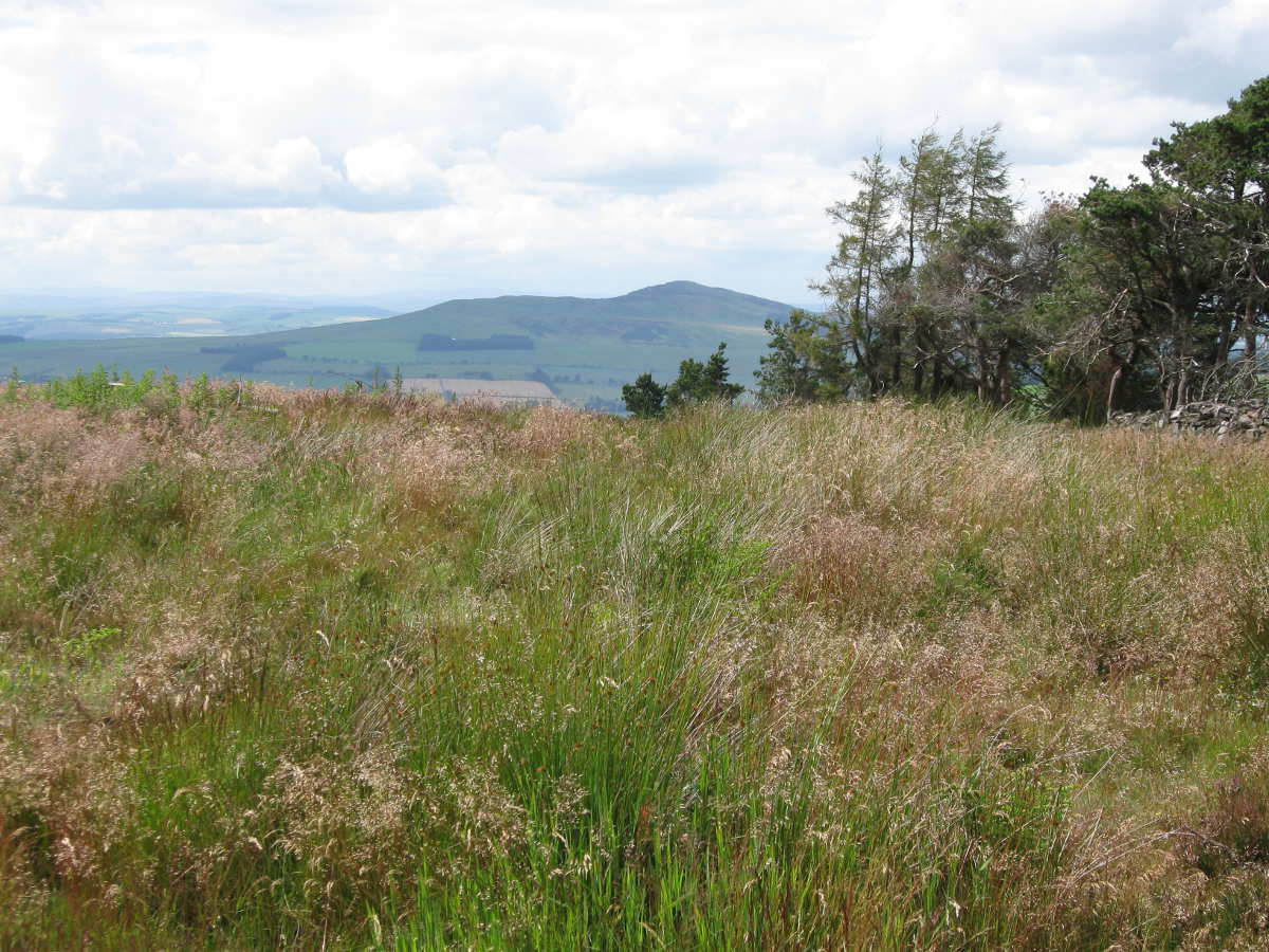
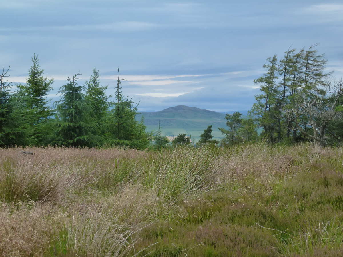
Despite being less than 500m in elevation, it was a great summit, with views across tot he Kielder forest in the east (including several SOTAs) and views westwards down to Hermitage Castle and Cauldcleugh Head. I spent a while tracing out the route I had taken in April, and spying the pace I had camped on a saddle between Cauldcleugh and Greatmoor hill (GM/SS-114)
The fence provided a convenient location to bungee my telescopic pole, so I quickly had my EFHW setup. For HF, I had with me two QMXs (a mid band and a low band unit). I wanted to try FT8 from a summit again, and after a previous failure of the finals on an QMX during a SOTA FT8 session, I thought it prudent to bring two radios with me. For 2m FM I had a Yaesu FT70D, and for 2m CW a Quansheng UVK5.
I started calling on 40m CW at 15:19 BST, and G4OIG was my first contact, followed by F4WBN and HB9DHW. Conditions were not very good, and with very little chance of a 2m FM contact, I was glad I had considered the option of FT8.
I connected the QMX to my 'phone via a USB-C cable, and the FT8TW app started automatically. I quickly brought in several contacts, with DJ0-BS being first, followed by several others across UK and EU.
I had recently updated the firmware in my QMX to allow SSB Tx, and so I also gave that a try, but with poor conditions I did not manage a contact.

Looking down on Hermitage Castle while activating GM/SB-199
Pleased to have qualified the hill, and after a quick snack I retraced my steps to the bicycle. It was now past 1600 hrs BST as I headed down the forest track and I started to turn my attention to where I might camp. I was hoping to find a suitable spot along the road between here and Bonchester bridge.
I rejoined the road and continued cycling northwards. I knew of a possible camping spot along the road off to Kielder, but didn’t fancy the diversion, so I continued past the Kielder junction. A short distance onbwards, I asked at a house for a fill-up of my water bottles, giving my around 3 litres of water – plenty to last the night.
I had just google streetview to plan a couple of options, but none of them looked that great. the best options were around NY574990, but didn’t rate highly enough to be stopping in the early evening. It was a nice evening and I preferred to keep going.
I stopped to look at several other options along the way, with one tempting option, but I soon found myself descending from hill country, and entering farm land, so ended up contiuing to Bonchester bridge.
The campsite at Bonchester bridge was pleasant enough, except for the price – a whopping £17 for around 12 hours use of around a 2m by 2m square of grass. Anyway, it was a nice evening and I sat outside my tent cooking chilli con-carne and watching the sun casting shadows over Bonchester Hill.

Plot of land rented for £3,102 per square meter per year
Next morning, I was off cycling by about 0800 BST, and headed towards Rubers Law (GM/SS-210). It was a very short cycle ride to reach a forestry plantation on the east side of the hill. The obvious routes up the hill were blocked by a fortified deer park, so I cycled part way along forest tracks before locking my cycle.
I wooden signpost indicated a route through the forest to Rubers Law, and this looked like bring an easy one. The path soon deteriorate to head high bracken though, and I retreated to the forest track. I will not wade significant distances through bracken due to the tick risk.
I walked a bit further along the forest track and eventually found a game-keepers trail through a heather covered firebreak. This eventually led onto the main path up Rubers Law, but did require a short stretch of about 20m through high bracken. I donned my full waterproofs, over my cycle shorts, Ronhill tracksters and long sleeve top, after spraying myself with tick repellent and ensuring leggings were tucked into socks. A headnet and Tilly hat soaked in tick repellent completed my protective ensemble.

Gamekeeper heather track to summit of Rubers Law
The top of Rubers Law was delightful, a perfect spot for SOTA, with lovely views and plenty of antenna options. I bungeed my mast to the trig point, and ran the other end of the EFHW across to a rocky outcrop - the natural cleft in the summit rocks across which my EFHW spanned is known as Peden’s Pulpit, after a 17th Century preacher.
Rubers Law is 424 m high, and the summit is a scheduled monument because of its archaeological remains. The earliest major feature is a large defended enclosure thought to be an Iron Age hillfort, with an outer wall following the natural terrace around the upper slopes. Later, a medieval fort was constructed around the summit: its citadel incorporating a rocky ridge and plateau.
There was also a Roman signal station here" and a Roman bronze-vessel hoard was also discovered on the south-east side of the hill in 1863, these are now in Hawick Museum and are well worth a look if you are activating the hill and want to understand more about its history.
I started on 40m CW and was called by ON4ZP, DL9NCI and OK8AV, a move onto FT8 gave me a clutch of further calls while I worked 2m FM at the same time. I caught G7KSE on Skiddaw (G/LD-024), M0XUP and M5LEE down in Cumbria.

Activating Rubers Law
It was getting on for 1100 BST when I left the summit, having lingered there for well over an hour, it was such a lovely place to be. I spent some time looking out at hills I had previous completed, and trying to plot out the rest of the route for my tour.
I donned my tick protection gear, and headed back to the bicycle, ready to proceed to the next hill. I cycled back through Bonchester Bridge, and onto Chesters where I stopped for some lunch, making the best of whatever I had in my panniers. I then continued eastwards, climbing up to a spot height of394, with great views south towards The Cheviot. A forest track leads of the road at the hamlet of Falside, and this climbs up to 342m, just 8m shy of the summit plateau of Belling Hill (GM/SS-244) and an option to operate from if you don’t fancy hacking through the forest plantation.
I spent a long time trying to get setup on this hill, I just didn’t seem to be able to get the mast secured, and the EFHW taught. When I eventually did get setup, I heard no stations on 40m CW so switched across to FT8, and it took 30 mins to accumulate just 4 QSO. A final attempt on 40m CW yielded a single contact - thankyou EI6FR!

On the way to Belling Hill
I quickly packed away, and headed back down the forest track to the road. I didn’t think much of Belling Hill! I continued cycling eastwards to meet the A68, where I turned north to Jedburgh, stopping along the way to visit the Capon Tree.


The Capon Tree
I spent an hour or two in Jedburgh, restocking on food, and generally looking around. I’ve been here several times before on cycle tours, and its worth visiting to see the abbey. Having cycled past The Hermitage castle on the previous day, its worth noting the connection of Jedburgh with Mary, Queen of Scots. In October 1566, Mary stayed at Jedburgh while dealing with problems in the Borders. She famously rode the 40 miles in a single day on horseback to visit the injured Earl of Bothwell at Hermitage Castle. On returning to Jedburgh, she became seriously ill. It felt like a pleasant ride on bicycle, but I imagine 500 years ago, at the height oof the border Reivers, and on horseback, it might have been less so.
I left Jedburgh in the early evening, a very pleasant warm, sunlit evening, and headed towards Oxnam. I didn’t really have a plan to camp, but new there were a couple of options beteen Jedburgh and my next hill of Hownam Law (GM/SS-197). The route to Oxnam was easy, although I had to drag my bicycle over a closed bridge at Oxnam – the parapet had crumbled away and it was officially closed. The road from Oxnam to Hownam was lovely, rising to 302m elevation at the point it crossed Dere street. The crossing with Dere Steet provided a camping option but since I had not stocked up with water I opted to continue down the hill where I spotted that the Alpaca farm at Beirhope farm offered camping pitches.
This turned out to be a slightly odd, and very expensive location. For a one night pitch for a single man tent, I was charged £20. The campsite had no proper showers; they provided a bucket on a rope as a shower. The site had no proper toilet, it had something they called a composting toilet, which was essentially a plastic bag suspended in toilet (with a funnel at the front of the toilet to capture liquid wastes). I would have preferred that they simply offered a spade and use of their 1 acre of woodland.
Anyway, they had Alpacas, which were interested to watch as a cooked my evening meal of almond Jalfrazi.

The best part of the campsite

The shower arrangements
I was off fairly early in the morning, gliding down the hill to Hownam with the sharply peaked shape of Hownam Law (GM-SS-197) ahead. I turned off the road at Howgate hamlet, and locked my bicycle to ta telegraph pole. I then set off a long a farm track to the north side of Hownam Burn. The track took me into a field of cows and calves, which all seemed very relaxed at first; the heard eventually decided to run off up the hill side and into a neighboring field, which suited me at first until I realised I needed to walk across that field. As I headed towards the gateway into the field, the cows started to walk towards me at pace and I thought better of it, and followed the wall a bit further along.
I wanted to get into the next field, which was full of sheep, but bounded by a substantial wall. With an idea of testing whether it might be possible to climb over I put a hand on a the wire fence running next to the wall to find it was quite strongly electrified. At least my shout of shock and pain scared off the cows!
I eventually came across a gate, which required limbo dancing under a complex network of electrified fences, but I was delighted to be back in a field of sheep. The rest of the ascent was jolly good fun, passing the ruined house of South Core, and climbing up the ramparts of what was once a fort.
II was delighted to find an open trig point, which made setting up my EFHW really easy, The weather was overcast with a threat of rain, so the radio equipment was placed under a waterproof sheet to keep it dry in the odd brief shower.
I started off with FT8, while i munched on some breakfast, and quickly made several contacts. I then moved onto 40m CW and was pleased that conditions were better than yesterday, making 9 contacts quickly on 40m CW.
I noted a spot for @M9OUD on G/LD-018 and was pleased to work him on 2m FM. Finally II moved onto 40m SSB, and worked G0FEX and GM0OGN. I was very pleased to have achieved an activation with contacts in FM, CW, FT8 and SSB.
Hownam law was perhaps my favourite of the hills I had activated so far on this trip (and would remain so). It had a lovely outlook across to the Cheviot Hills, and the south into the Southern Lowlands. the hill itself was interesting in character, and had the classic openness feeling of British moorland.
Hownam Law contrasts with Rubers Law, since the summit is a prehistoric fort, and possibly a funeral cairn.

Hownam Law Activation
The descent was easy, and I took a different route down to avoid the cows, walking along Hownam Burn to reach the houses at Hownham mains. Back at my bike, I started the short ride along the Hownam valley to Linton, and I parked my bicycle at the hamlet of Bankhead to start the walk along a clear track to Linton Hill (GM/SS-263). This looked like being super easy, until the farm track took me into another field of cows/calves. They probably thought I was going to feed them, but started crowding around me, so I made a sharp exit. With no other option, I headed back to my bicycle, around 1km down the track and could hear the cattle shouting at me all the while.
I cycled up the road a bit further, and parked my bicycle at a gate at NT777 283, where I made my way across a field of sheep and up to the transmitter on Linton Hill. The summit field had clearly had cows in it recently, but was currently empty.
The transmitter wiped out both of my 2m radios, which prevented my working @2E0TFF on 2m SSB on G/NP-001. However 2E0TFF soon moved to 20m SSB, which allowed a S2S using my QMX. There followed several contacts on 40m CW, including EI6FR on EI/IE-073 and then G4YSS/P on G/NP-008.

Linton Hill Activation

Radio mast on Linton Hill
Despite the shaky start to climbing the hill, it all turned out okay, and was a pleasant hour or so spent on the hill top in dappled sunshine. The walk back to my bicycle was easy. Back on the bike I headed up to Kelso and then onto Coldstream for an evening meal. I then turned south to arrive at the holiday cottage I had booked with the rest of my family.
The cottage placed me within a short cycle ride of Housedon Hill (G/SB-010). I previously activated this hill during a cycle tour Activating all of Northumberland by Bicycle, but it would have been rude not to redo this, the most northerly of English Marilyns.
So on Wednesday morning, 26 August, cycled to the foot of the hill, and walked up to the summit. I was on the summit by about 0700hrs BST, and spent an hours activating on CW and SSB. The same expedition took place the following morning, 27 August. On both times I made a handful of contacts on CW, including a S2S, followed by several FT8 contacts.
I recall that during my activation in July 2025, I wasn’t that impressed by Housedon hill. But I felt more kindness to it this year. The hill rises in a n area with many, many other small hills, giving a great deal of character to this area. It is interesting that of all the hills around here, Houseden is the only one with easy public access, being the only one designated as access land. I do wonder whether the access land designation recognised this as the most northly Marilyn, or if it is just a coincidence?

Houseden Hill Activation
Saturday 29th August brought the end of the holiday, and a need to get back home. With no hills planned on the cycle ride home, I planned to do it in one day. I set off just after 0500hrs BST, heading through Town Yetholm and Morebattle, to joint the A698 and eventually the A68 to Hawick.
Arriving at Hawick at about 0730 hours, I had a tea from Greggs, while deciding whether to head south via the A7, or the Newcastleton road. I eventually chose the A7, its a lovely quite road despite being an A road.
A still have one unactivated hill along the A7, Ellson Fell, GM/SS-146. And as I passed by, and noted the easy looking track to the top, it was tempting to stop and do it…but I always like to end an adventure wanting more, so I have left it until next time I am up here.
I was doing well on the cycle ride, descending to Langholm well before 1000 hrs, when a loud bang shook my cycle as a I crossed the bridge at the north end of the town. A spoke had snapped in my front wheel. I am suspicious it was due to the use of the wheel as a cable cutter on the first day! I used to carry spare spokes on a cycle tour, but for some reason don’t do that anymore. You can even get kevlar cord temporary spokes, which I may start carrying. I’ve only ever had two spoke failures when cycle touring, and the other occurred within 5 miles of this very spot! My wheels are slightly unusual for current bikes, comprised of MTB hubs (135mm OLN) and road (700C) rims. The bike actually has a frame sized for 132.5OLN, so it can accept either road or MTB hubs if required. However, bieing 36 spoke wheels, losing the odd spoke is not too much of a problem and I was able to continue the journey without even bothering to retrue the wheel
I arrived in Carlise just after 1100 hrs BST, and chose to take the train a couple of stops down the Cumbria coast line while I ate an early lunch, and it cut a few miles from having to cycle on a wobbly wheel.
Eventually I got off the train and cycled that last 10 to 15 miles home, with a second lunch along the way, and worked G7RNX/P on G/LD-045 while I was bicycle mobile.