The weather forecast for Saturday morning was for near zero temperatures, but no precipitation and very little wind. With this in mind, and keen to try out my recently built, but not yet finished dual hourglass antenna, I decided to activate VK3/VC-027 Mount Little Joe.
Stephen @VK3SPM had posted an email to the VK SOTA .io group indicating he and Ken @VK3KIM were intending to activate three summits on Saturday. I posted my intentions on the .io group and @VK3YY Glenn also posted that he would be activating in the morning as well.
Mount Little Joe is the lowest ‘mountain’ in the VK3 VC SOTA region at 516 m ASL. There are five lower summits in the region, but they are not named Mount anything. They have names like Ridge, Hill and Peak.
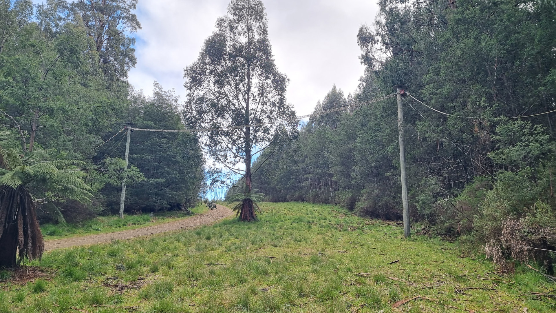
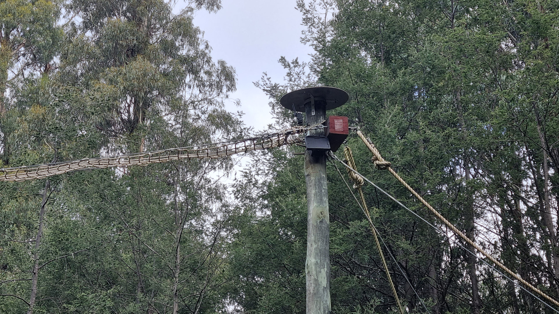
Mt Little Joe is located within the Yarra State Forest, and, over the past two years, this section of the State Forest has become home to Warburton Bike Park where they have currently have over 70 km of mountain bike trails, with a further 90 km of trails planned.
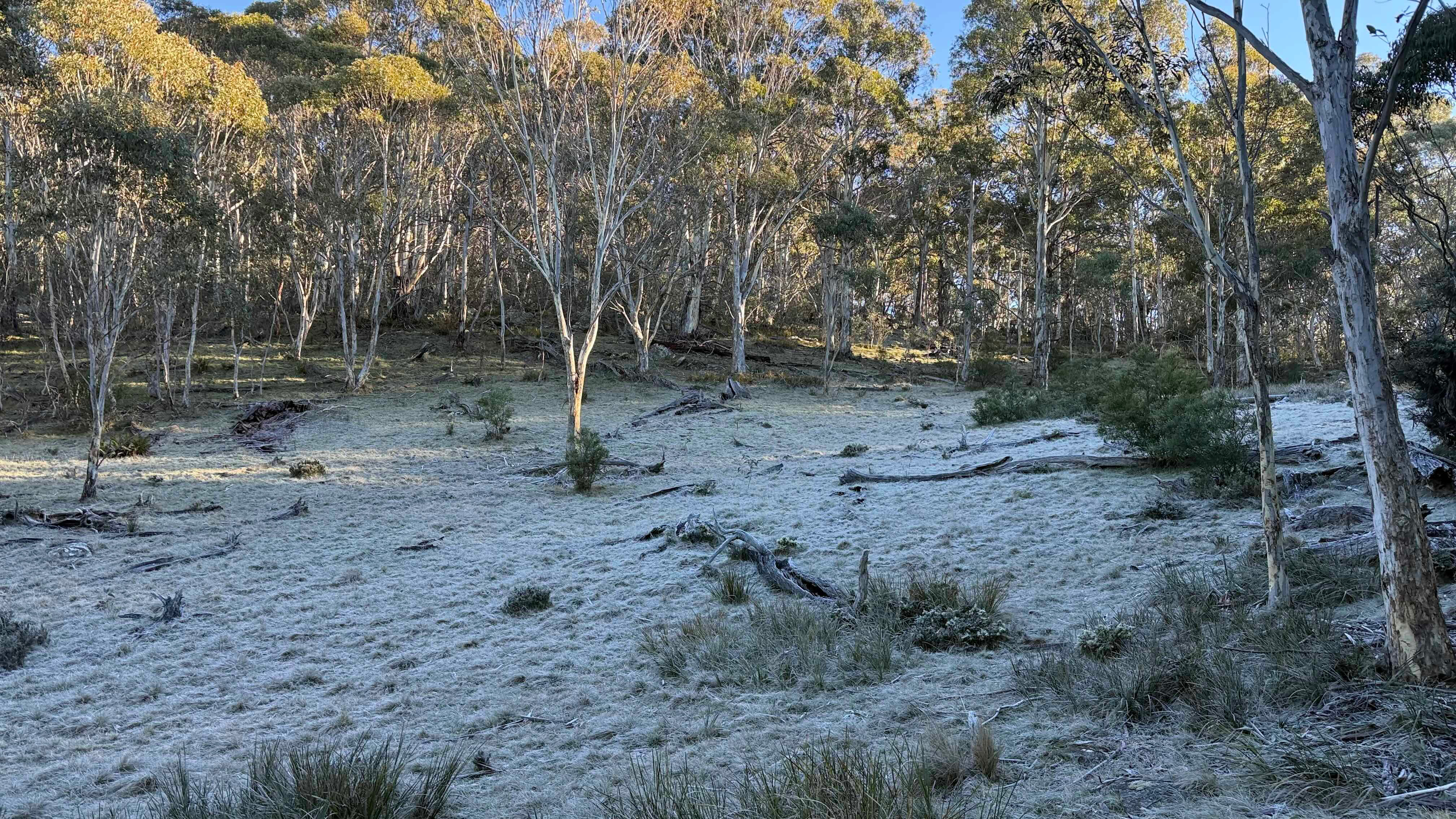
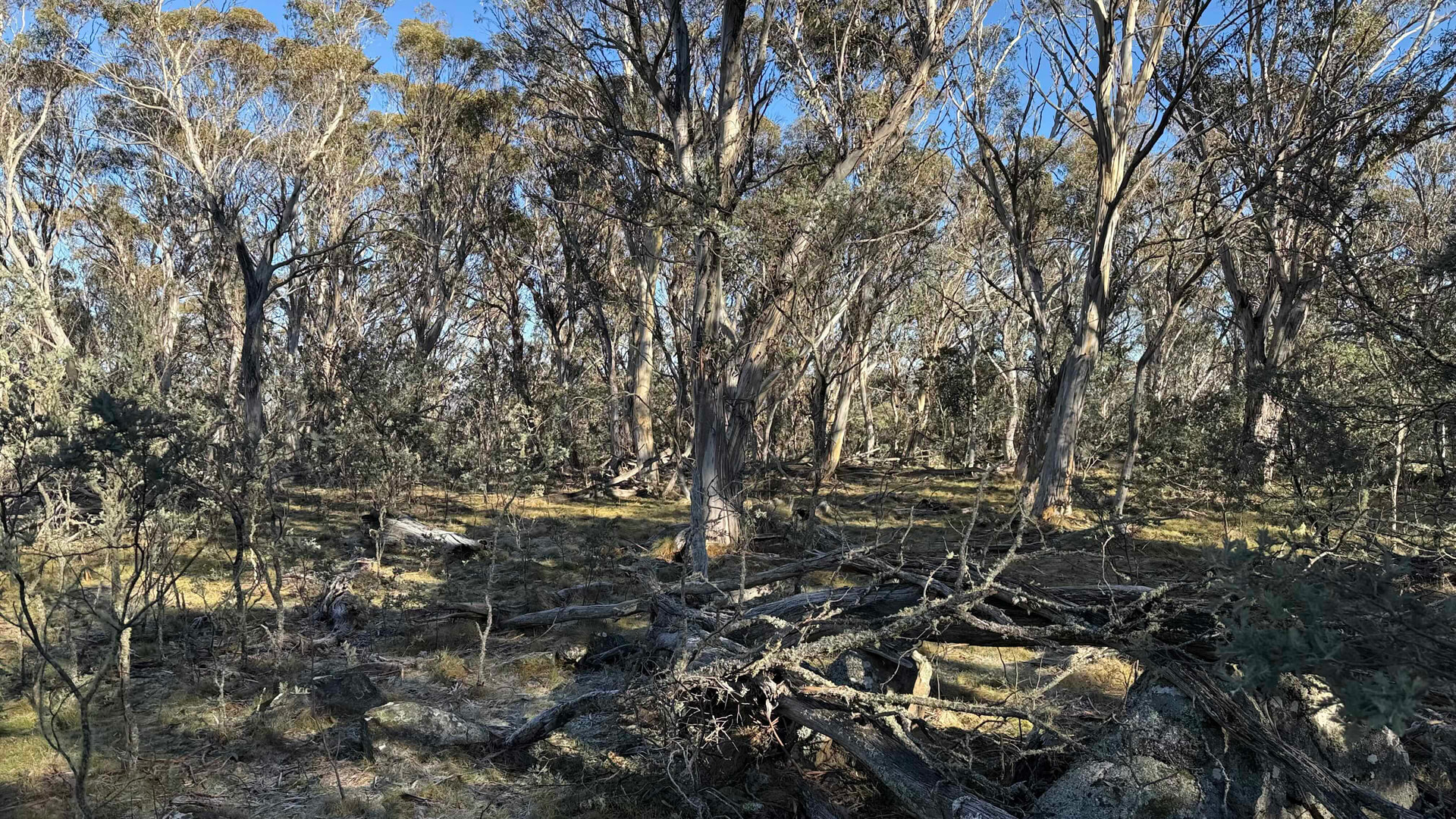
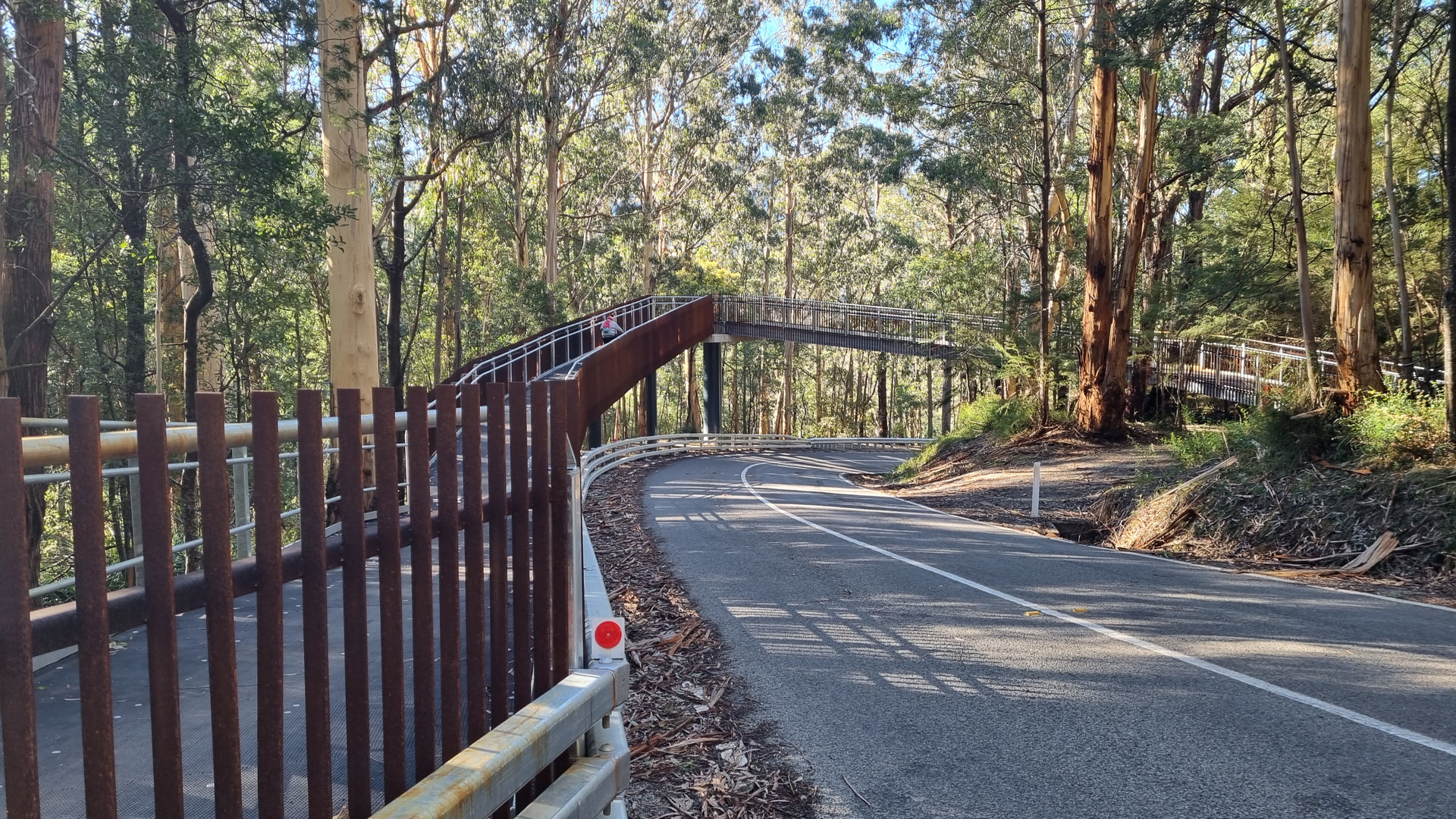
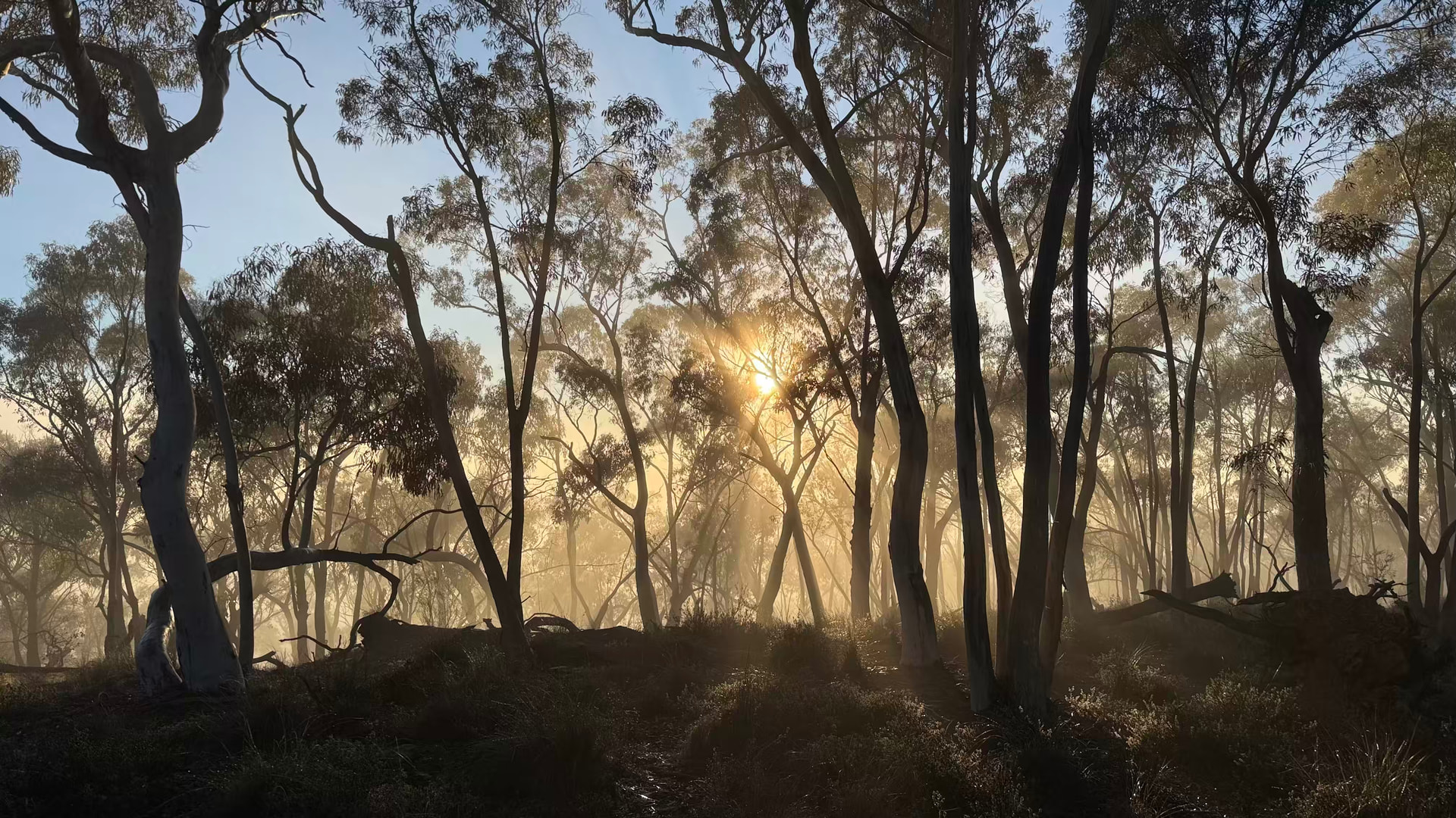
Parking my car on the side of Old Warburton Rd, about 50 metres downhill from the new bike bridge, I loaded up my backpack and headed into the forest. The temperature was 4°C and a low fog filled the valley below. Apart from the behemoth bridge, the bike park has had minimal effect on the forest itself. The new bike trails are about 2 metres wide and, apart from sharing about 700 metres of the maintenance vehicle track, the bikes and other park users are kept apart.
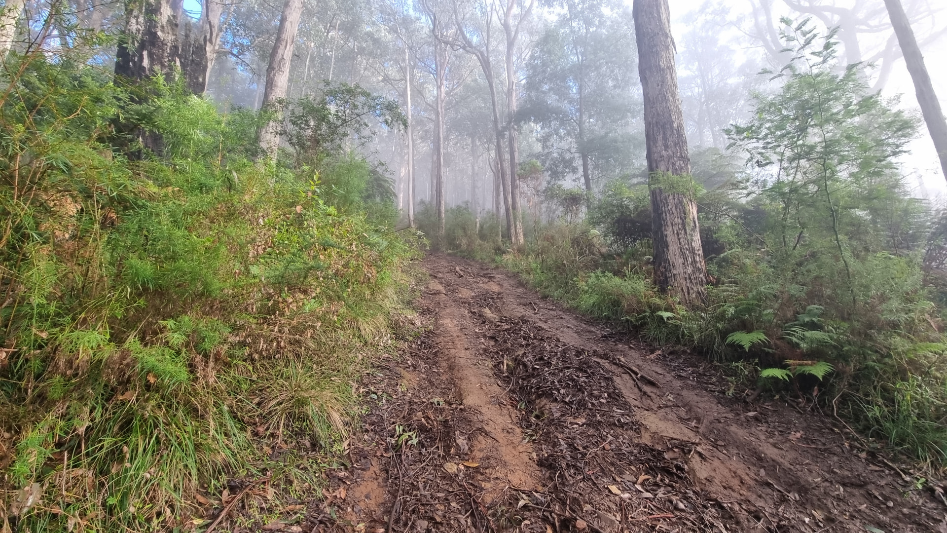
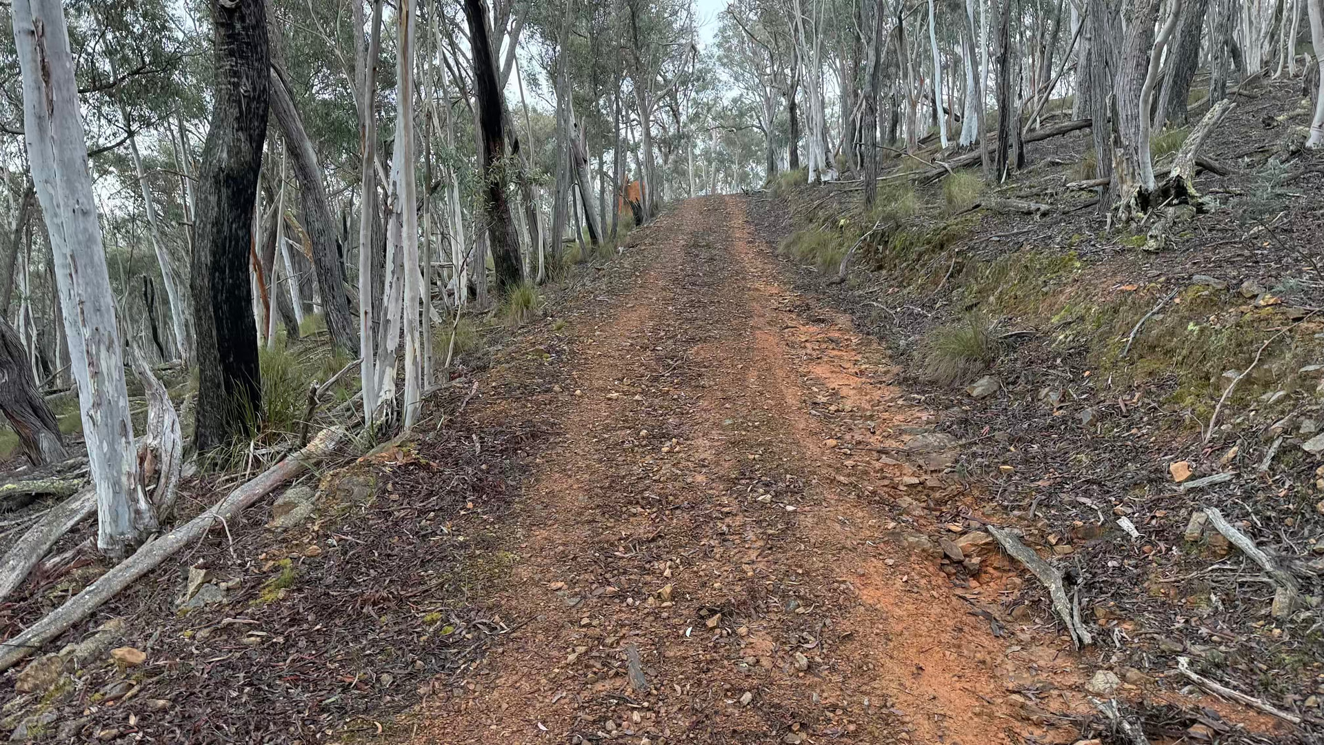
My access route up to the summit is via Summit Track, a steep climb of 155 m over a distance of 420m. I recently purchased a new pair of boots, after the tread on my old hike boots stopped gripping, and I was happy with how the new boots held on up the slippery track.
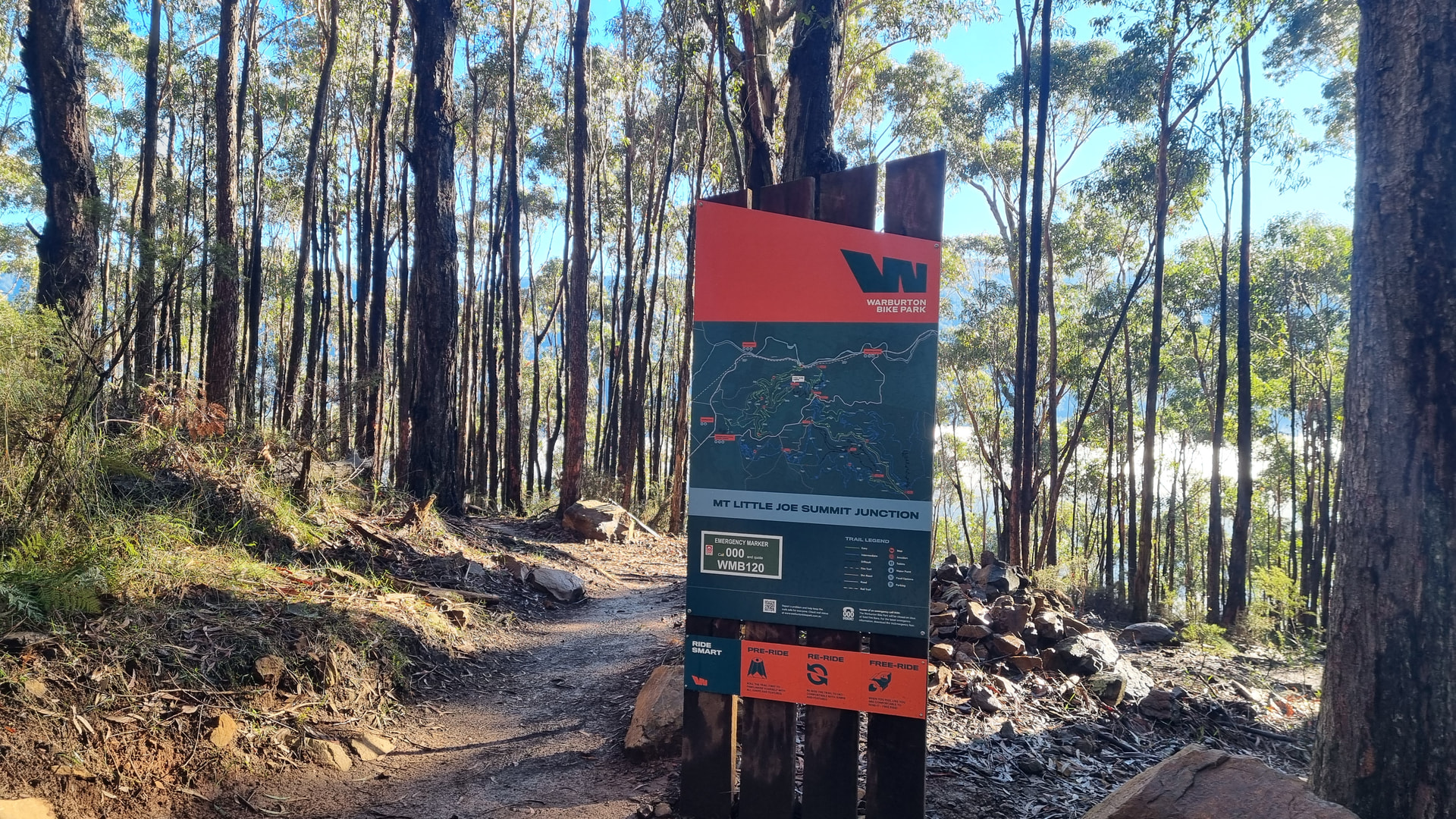
At the top of the track, is a sign board and four bike trails meeting at the “Mt Little Joe Summit Junction”. The sign board has a map of the bike trails including an indicator showing where you are, a QR code for the bike park website and an Emergency Marker sign. The Emergency Marker sign gives the emergency phone number, triple zero, and a marker reference to quote to assist the emergency services find your location.
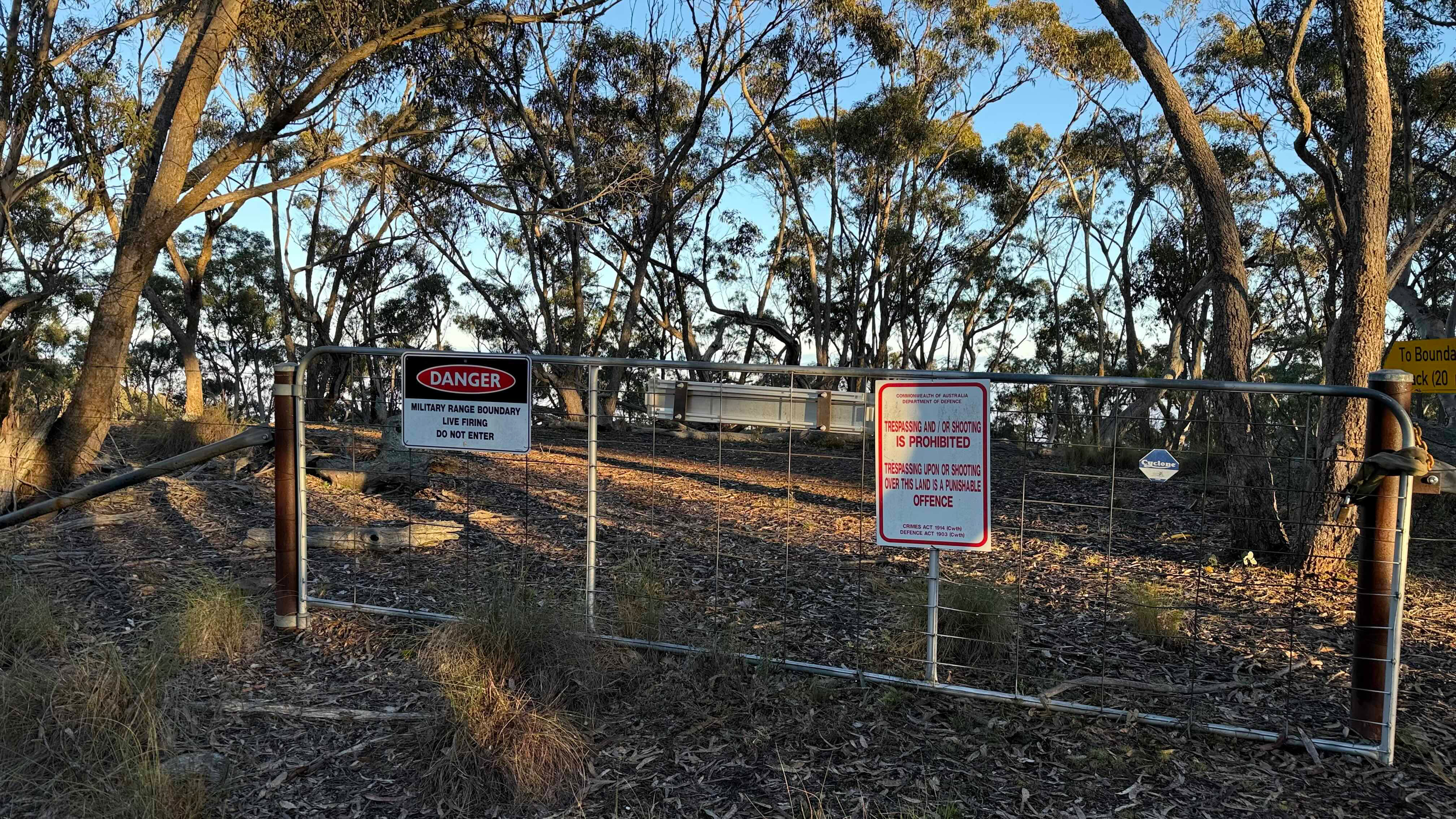
This junction is within the AZ, but I hiked another 200 metres to the proper ‘top’ of the mountain to set up my station. The hike from the car to my activating position took just under an hour.
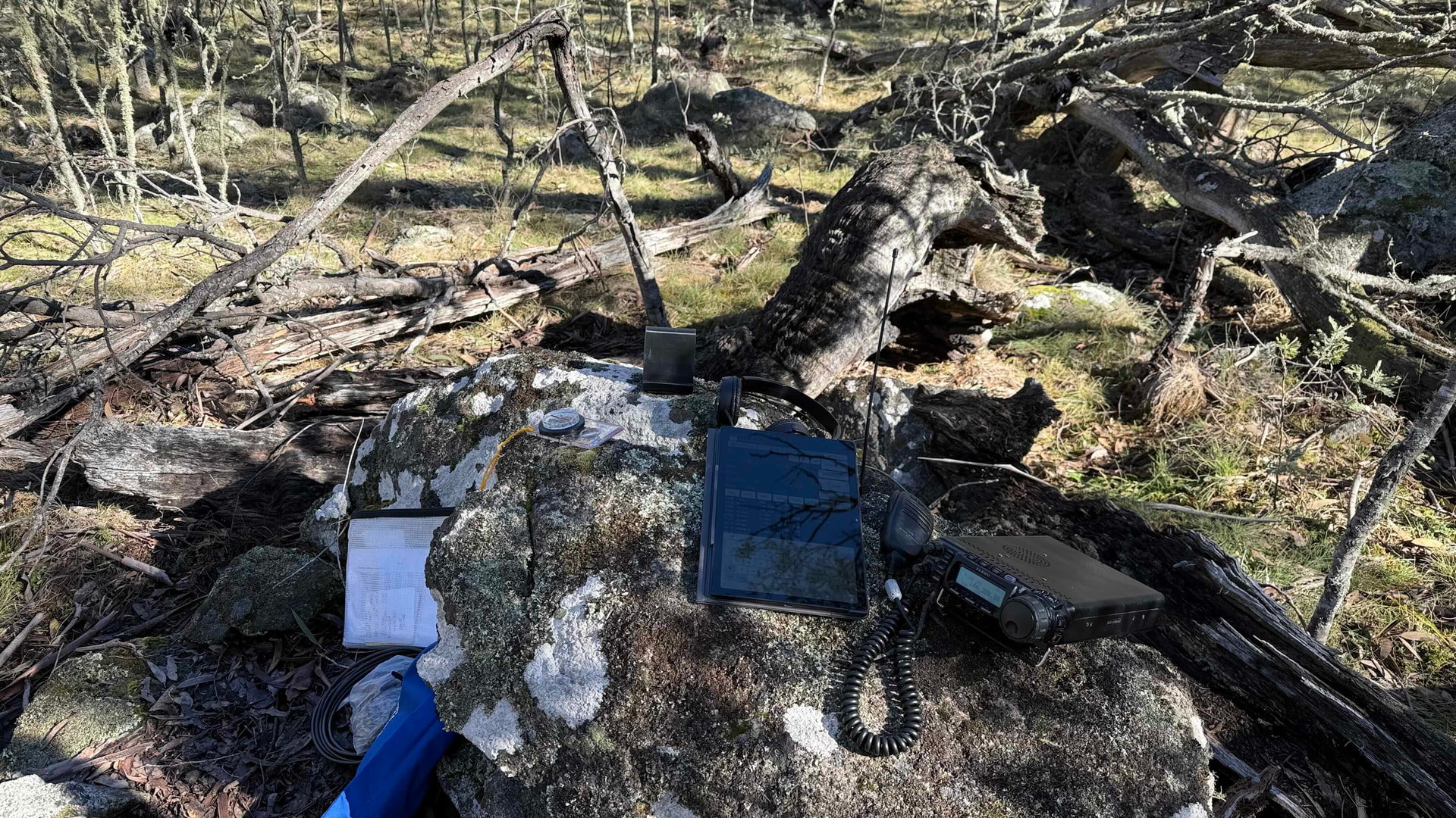
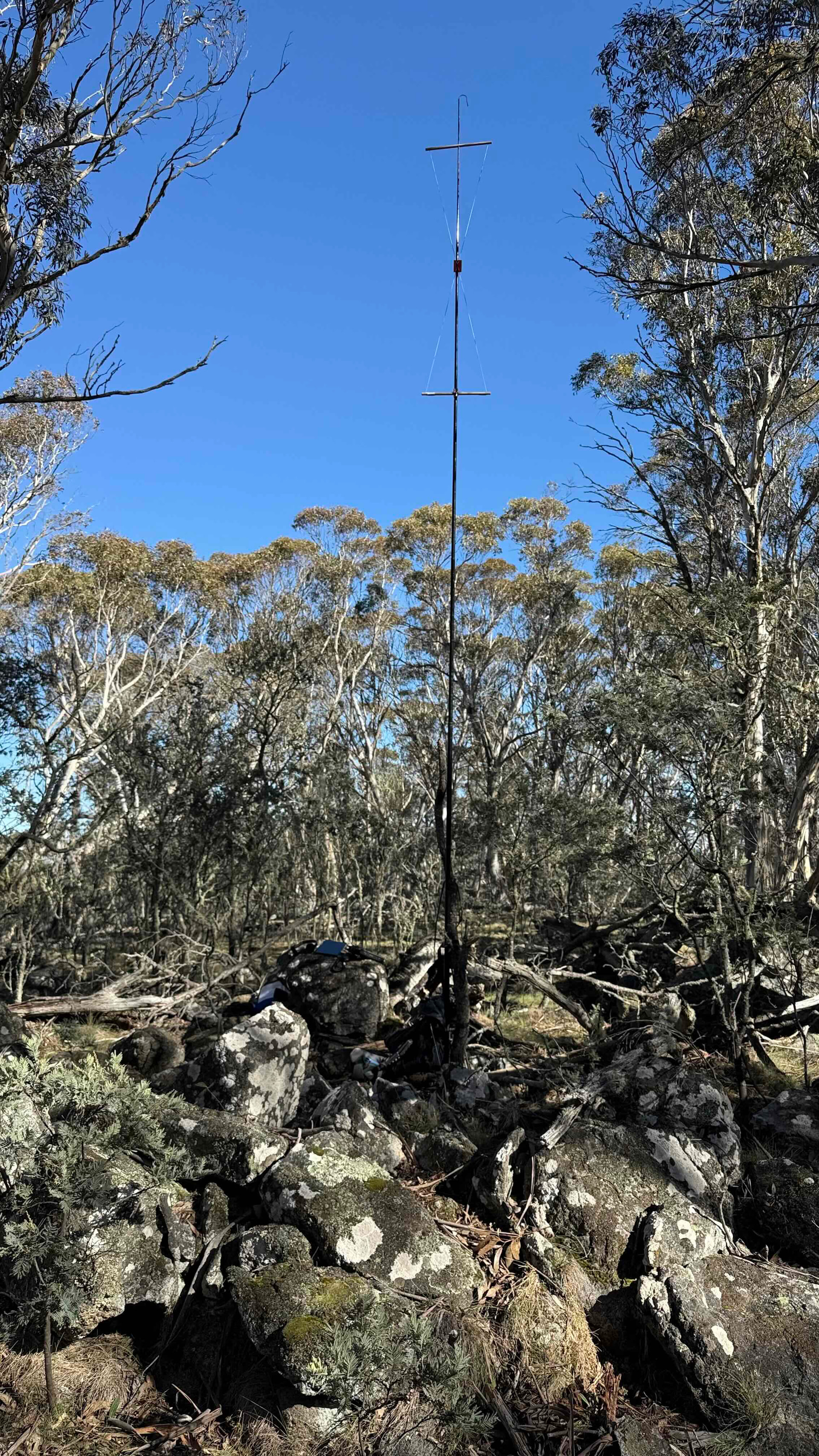
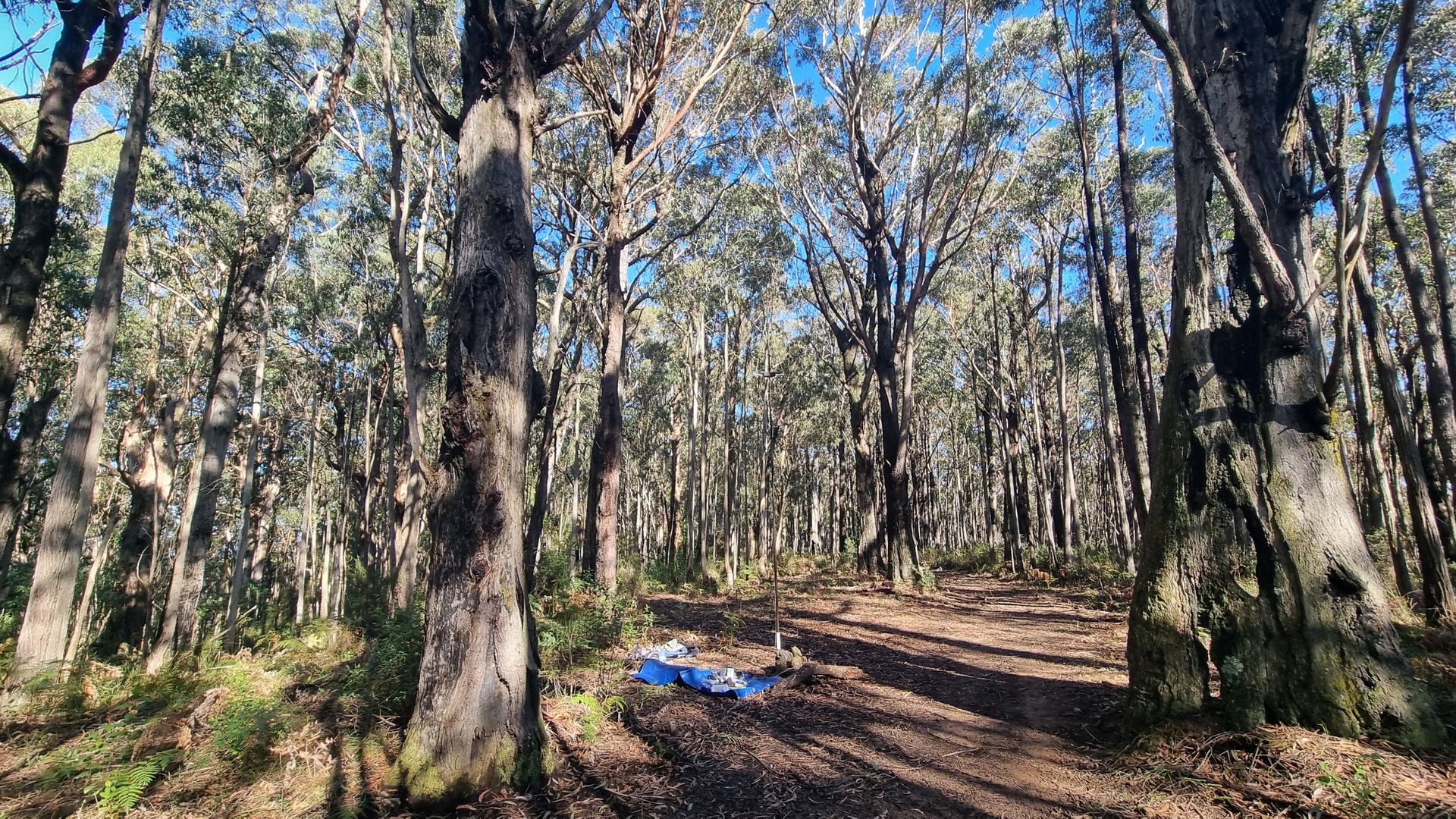
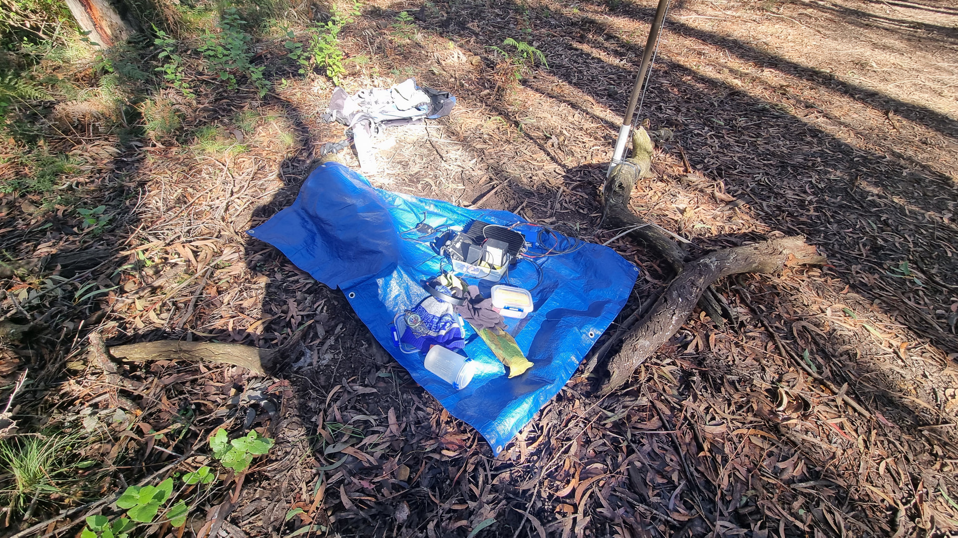
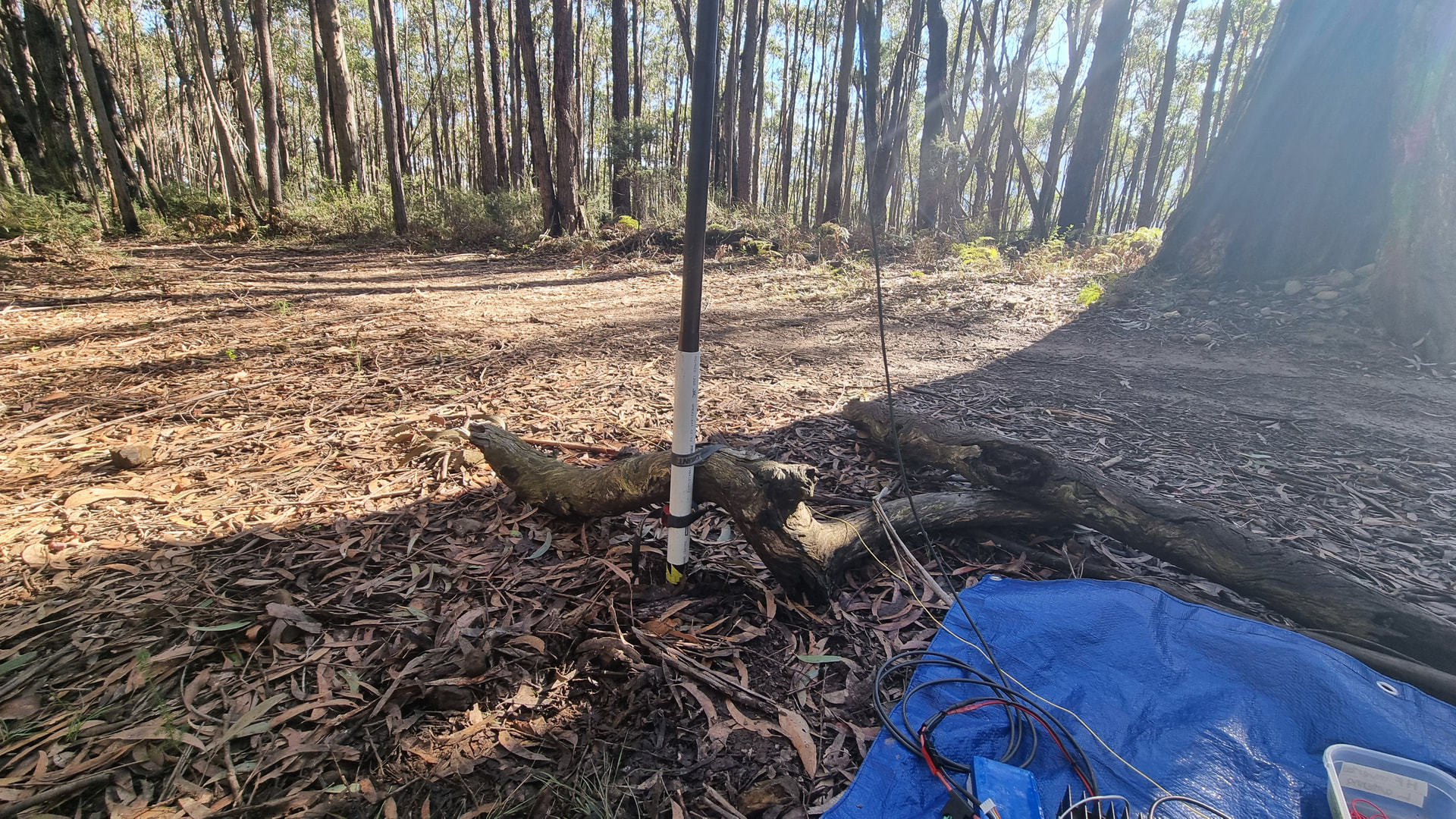
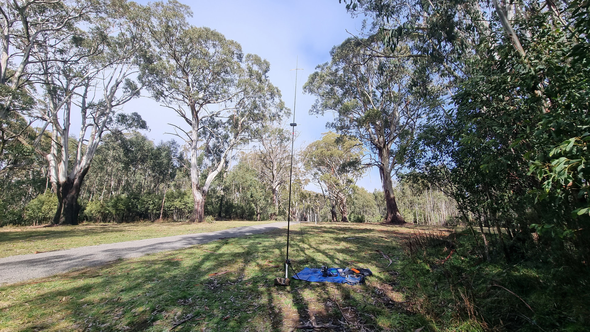
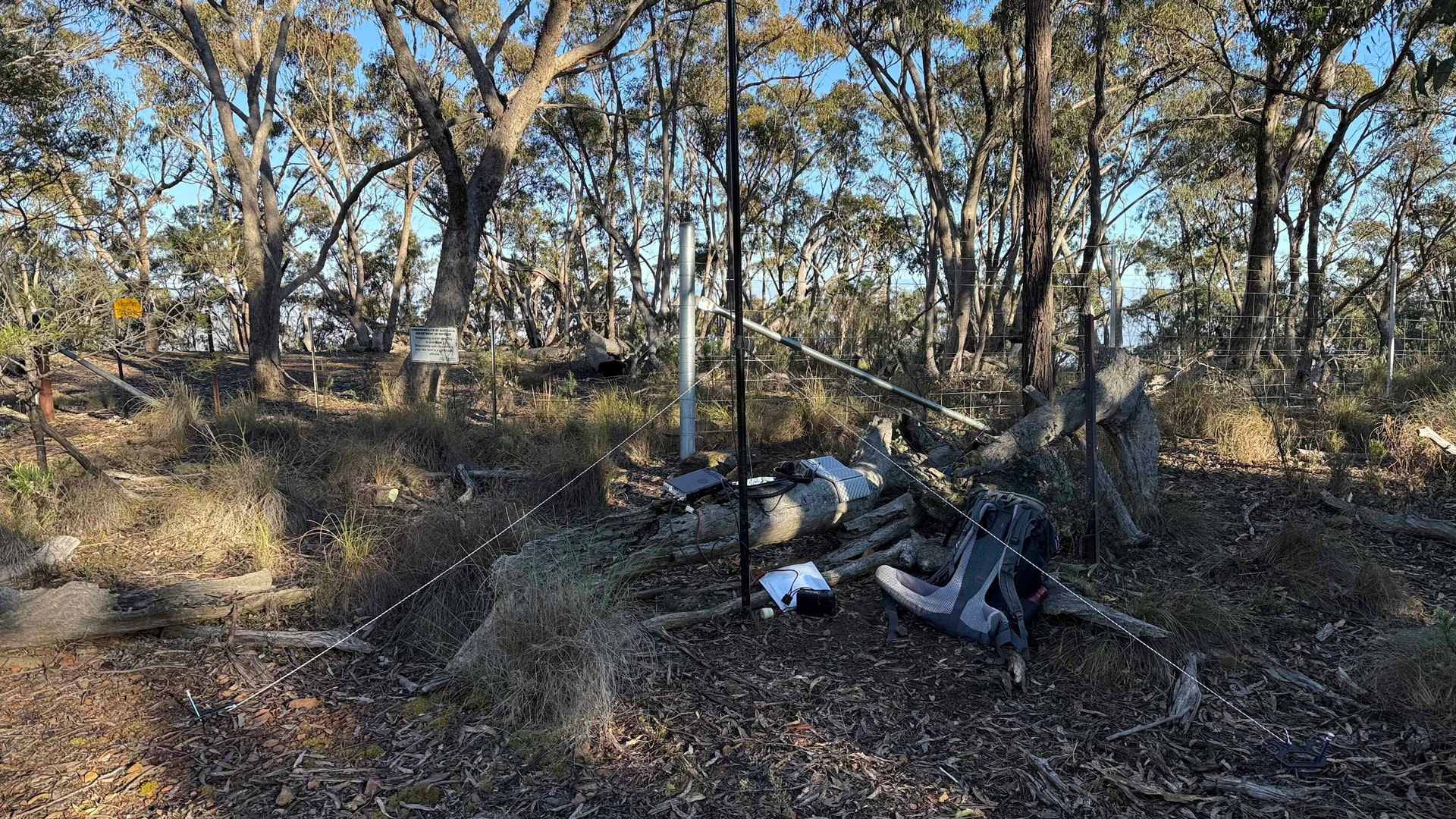
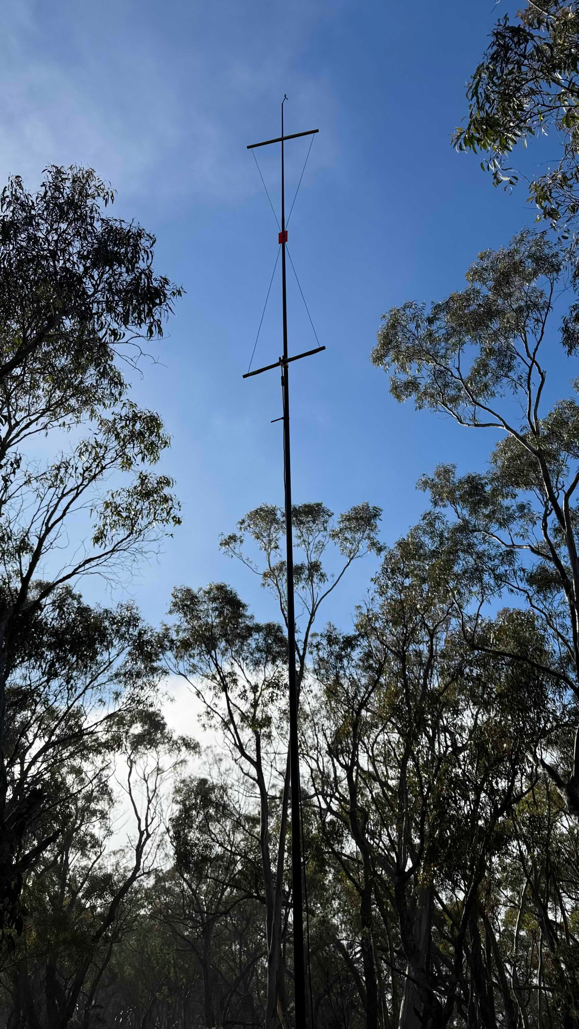
My station set up was similar to recent activations with FT817ND, 1980s style linear amplifier, my single hourglass antenna on a six-metre pole. The six metre pole was secured to a couple of small logs that were laying by the road.
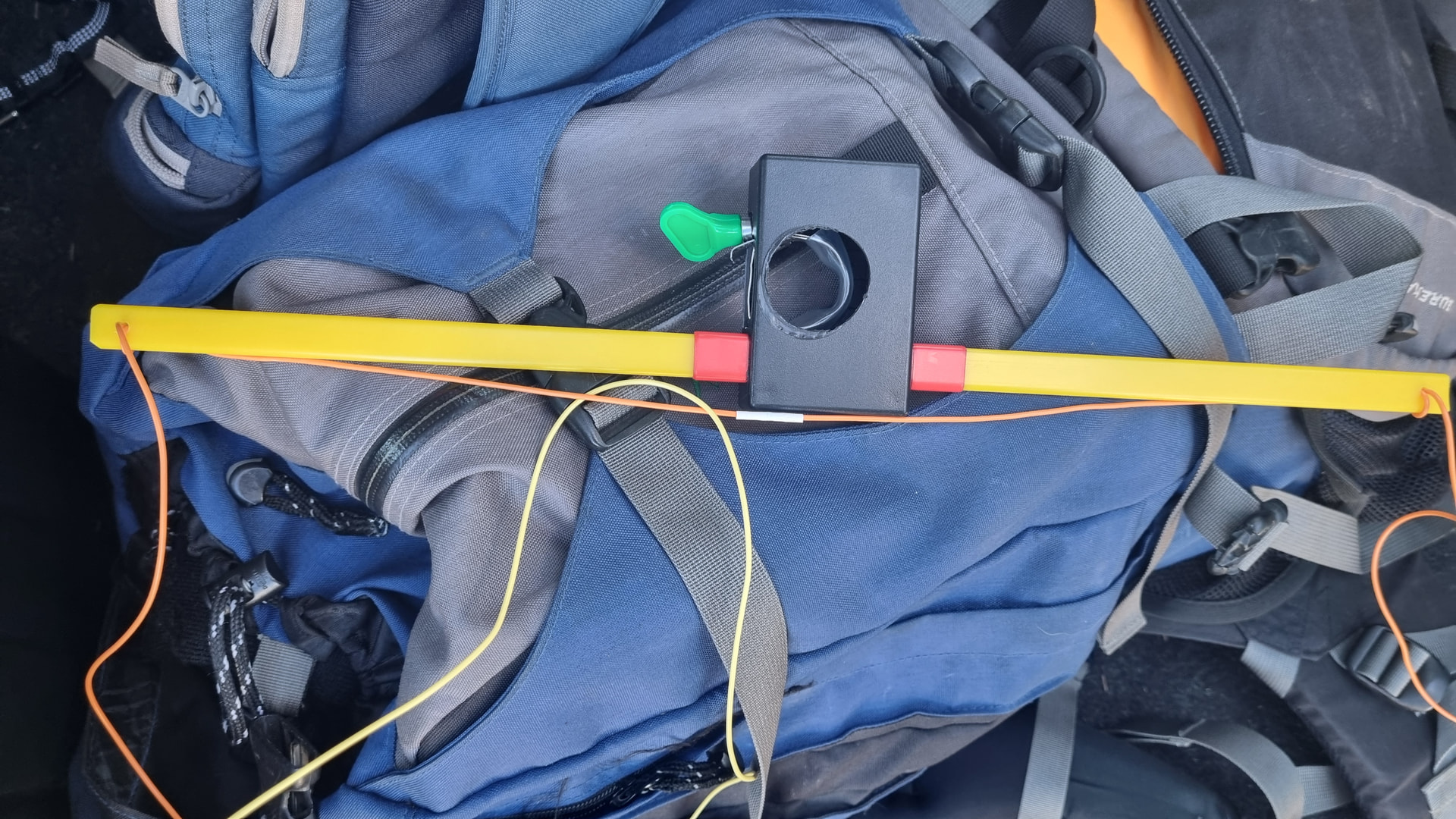
Unfortunately, the dual hourglass antenna didn’t get a run today. As I was packing my backpack this morning, I noticed I had trapped the upper loop wire under the lower loop wire in the lower arm section. This happened Friday night when I quickly soldered where I had trimmed the loops earlier in the week.
My activation started with my first SOTAwatch spot at 2353 UTC and the first QSO on 2 metres three minutes later.
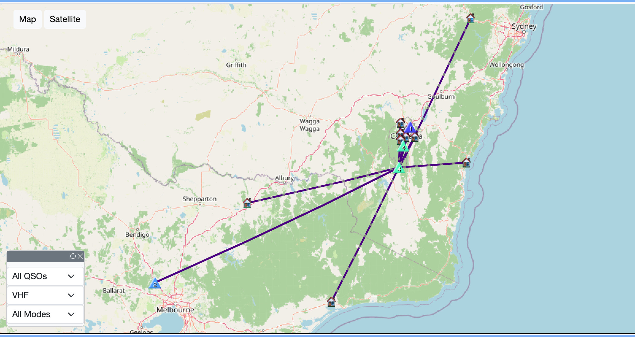
I managed S2S QSOs with VK3KIM and VK3SPM at VK3/VC-039 Mt Gisborne, VK3YY at VK3/VC-011 Brittania Range, and again with VK3SPM and VK3KIM at VK3/VC-040 Camels Hump.
Despite the best efforts of more distant stations, including
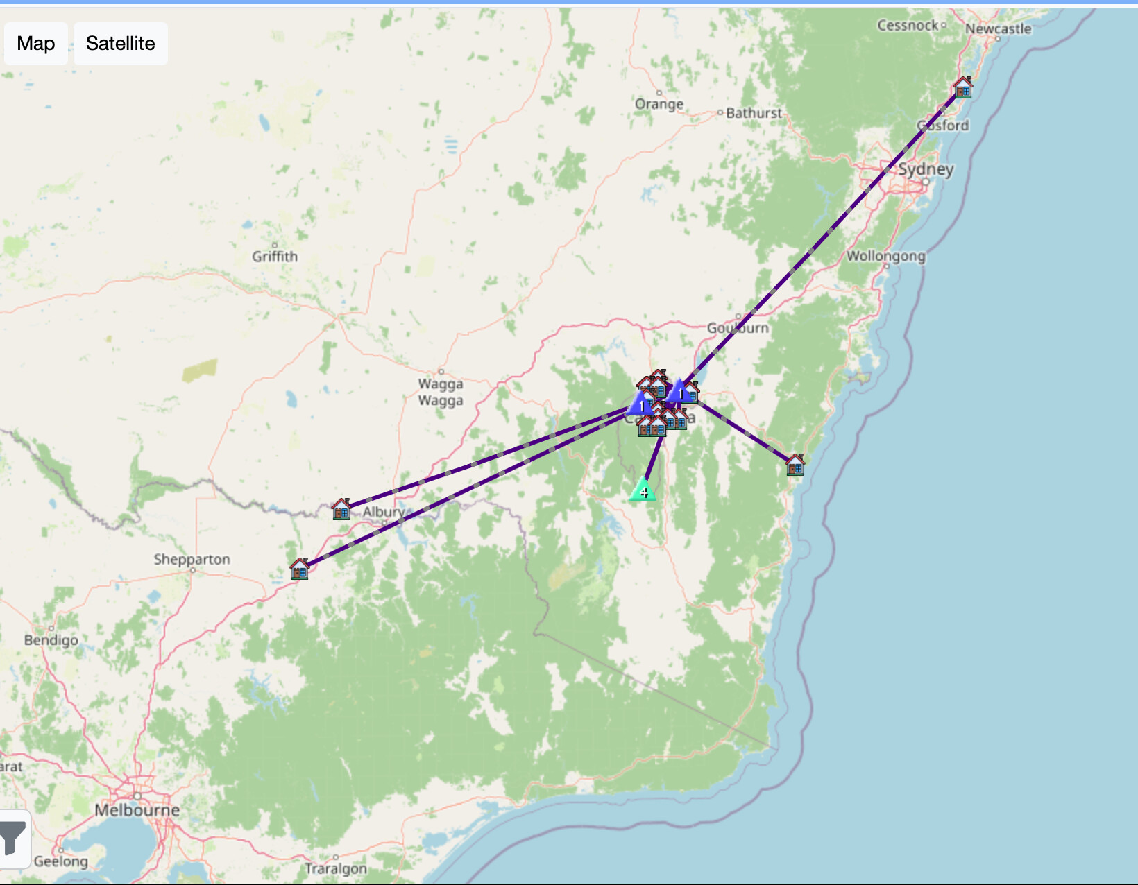
@VK3SQ, my most distant 2m QSO was 135 km, while my closest QSO was 8 km at Brittania Range.
The lack of longer distant QSOs didn’t really surprise me as Mt Little Joe at 516 m ASL sits in the shadows of taller mountains such as Mt Victoria at 1115 m ASL and VK3/VC-002 Mt Donna Buang at 1259 m ASL.
Thank you to all who responded to my calls, I made a total of 41 QSOs with 24 of these on 2m SSB.
I finished the activation at 0330 UTC and, taking the longer, less steep descent route, I was back at the car in 75 minutes.

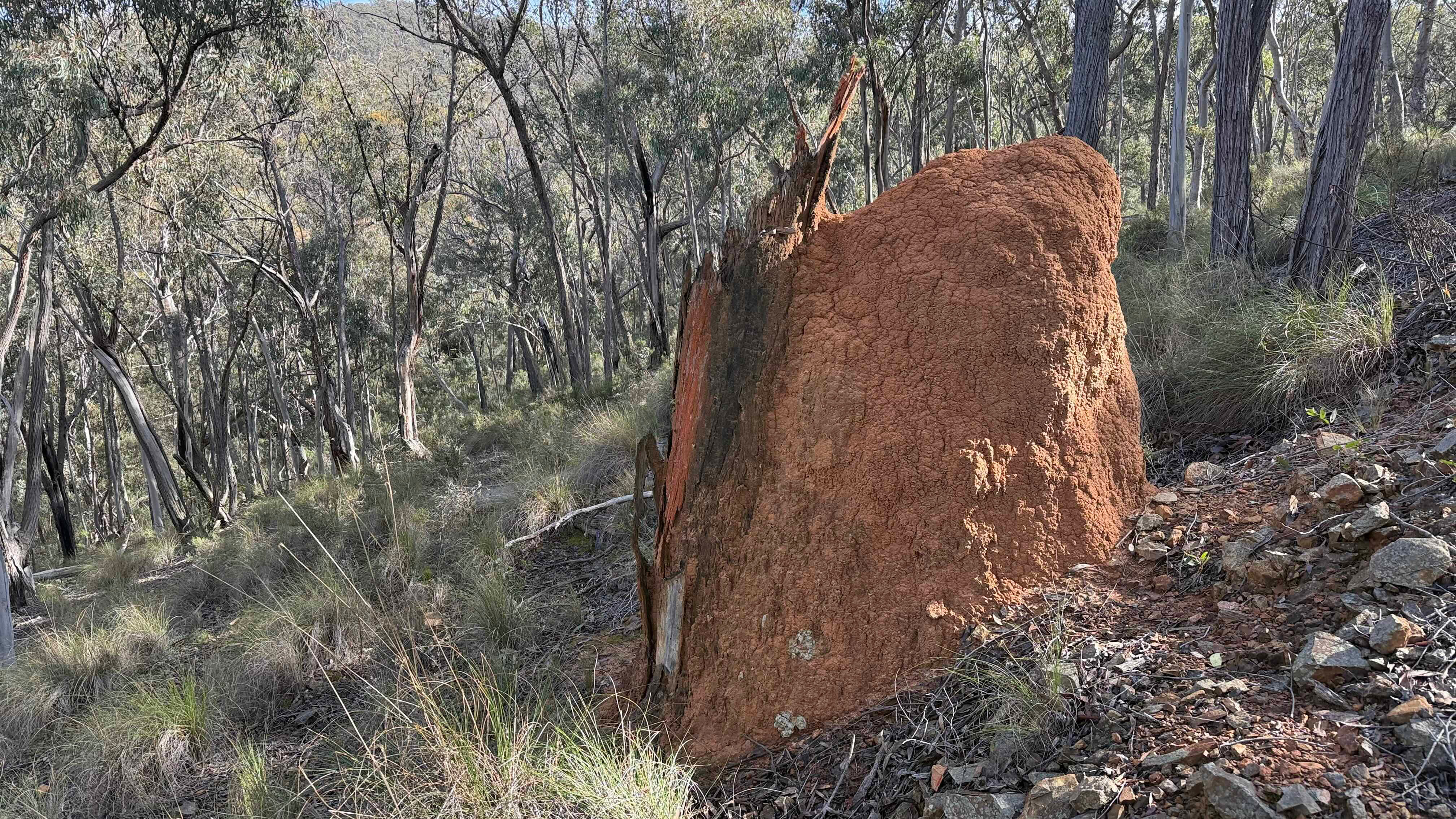
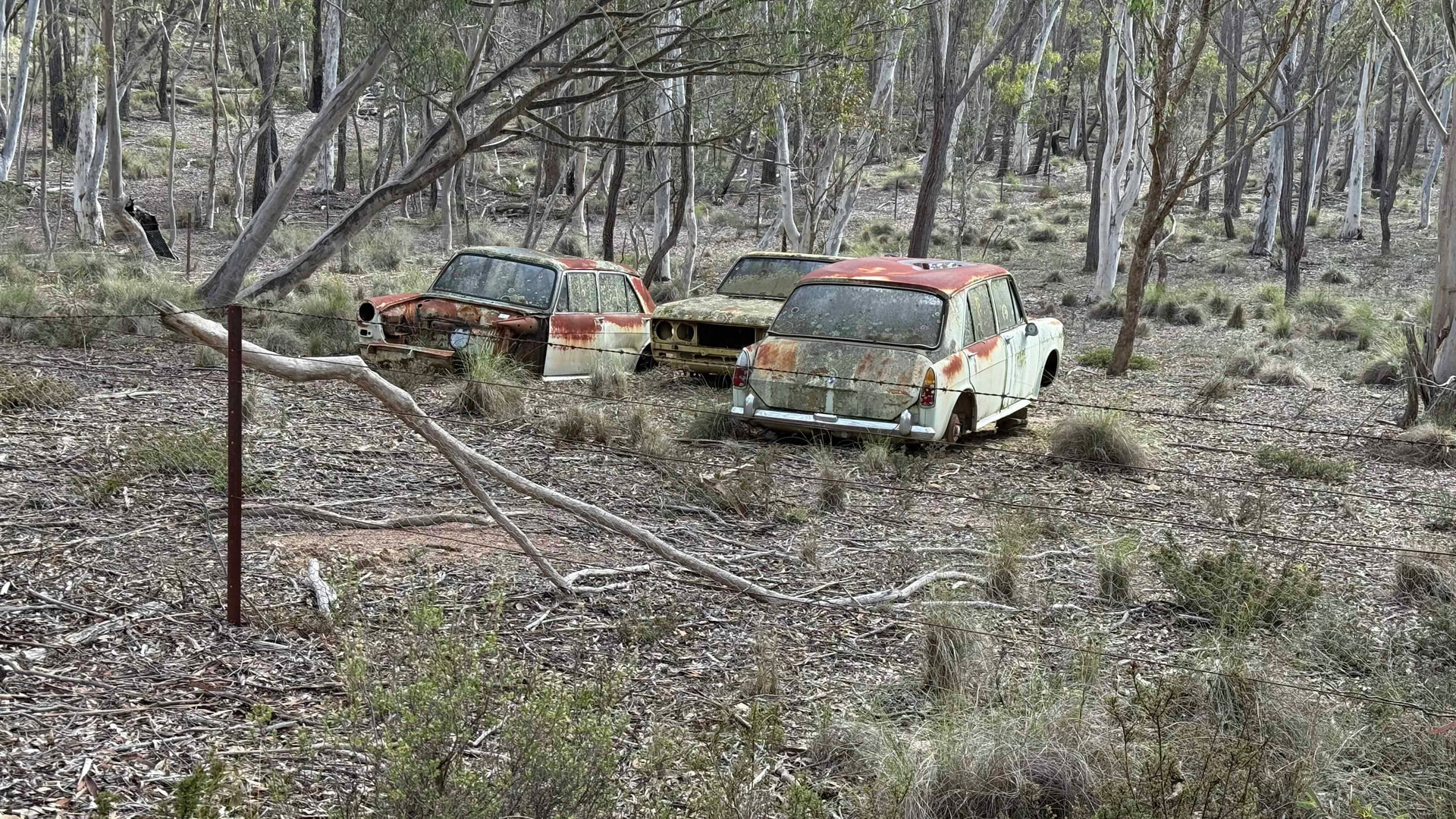


 there wouldn’t be glass in the metal frames! I suspect they were once salvaged for spare parts.
 I had three layers of upper torso clothes, thick socks, gloves and a beanie.