Another Saturday, another trip into a eucalyptus forest. Saturday 11 July 2026 was forecast to have afternoon storms, so I had planned a summit activation at Mt Disappointment, VK3/VC-014. Other SOTA activations planned for the morning were Ron @VK3AFW and Stephen @VK3SPM at Mt Mitchell VK3/VN-012 and Compton @VK2HRX at Mt Donna Buang VK3/VC-002 so I was hoping for some S2S QSOs on 2m SSB.
I arrived at the trailhead, Blair’s Hut, about 8:20 and started walking up the track at about 8:40 AM.
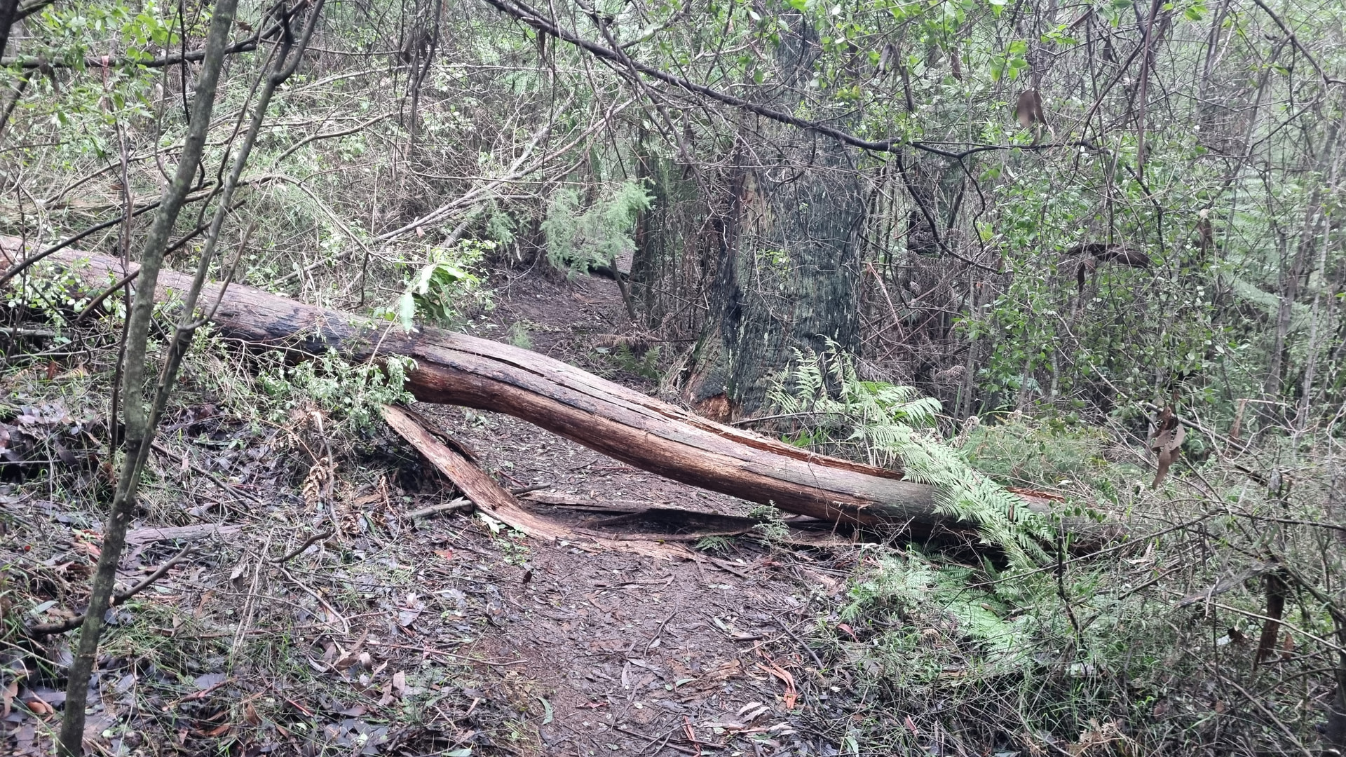
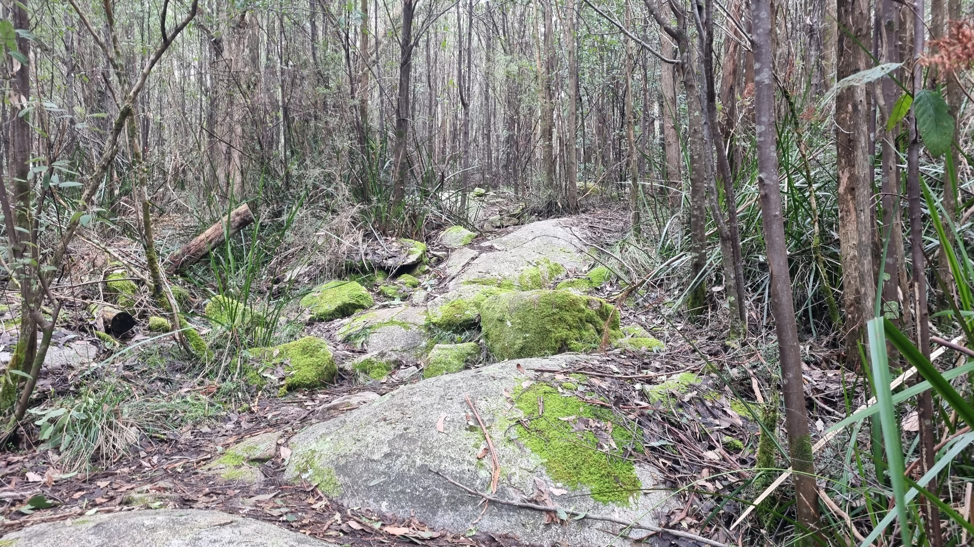
About 50 metres along the track there are two options, turn left, or turn right. The left-hand track is my preference as it is shorter. I have read elsewhere that the right-hand track has better views, maybe I’ll take it next time. The left-hand track I took winds through the trees, occasionally over logs, and up some large rocks.
The access is not steep and rises from 700m ASL to 796m ASL at the summit. The walk to the top is about 1.2 km. I had initially planned to walk past the summit and set up in the National Park, but I was unable to get reliable GPS coverage on my phone, so I was unable to navigate to the National Park boundary with any degree of accuracy. After faffing about for 15 minutes off track I returned to the relative comfort of the picnic table at the summit.
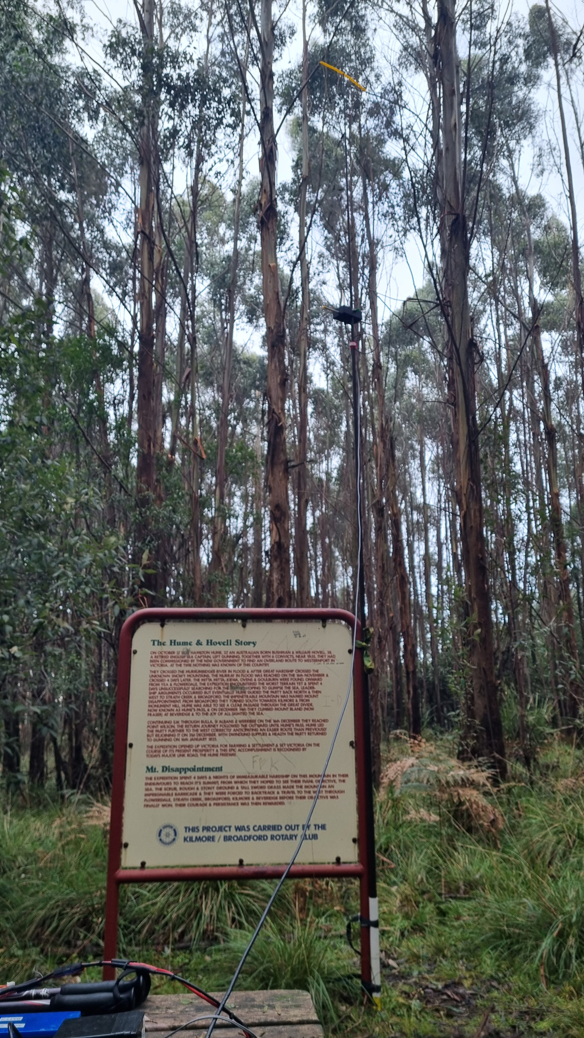
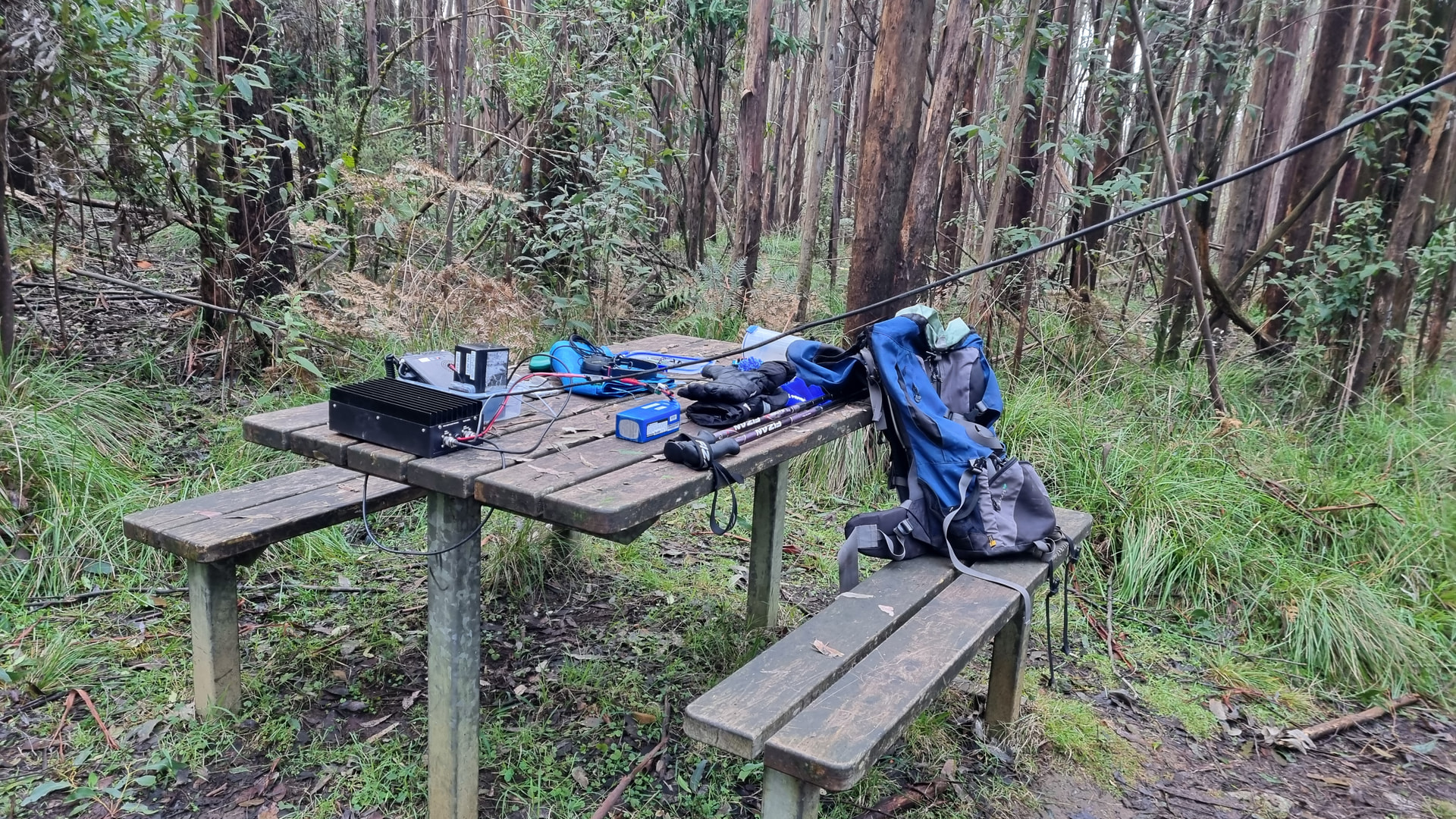
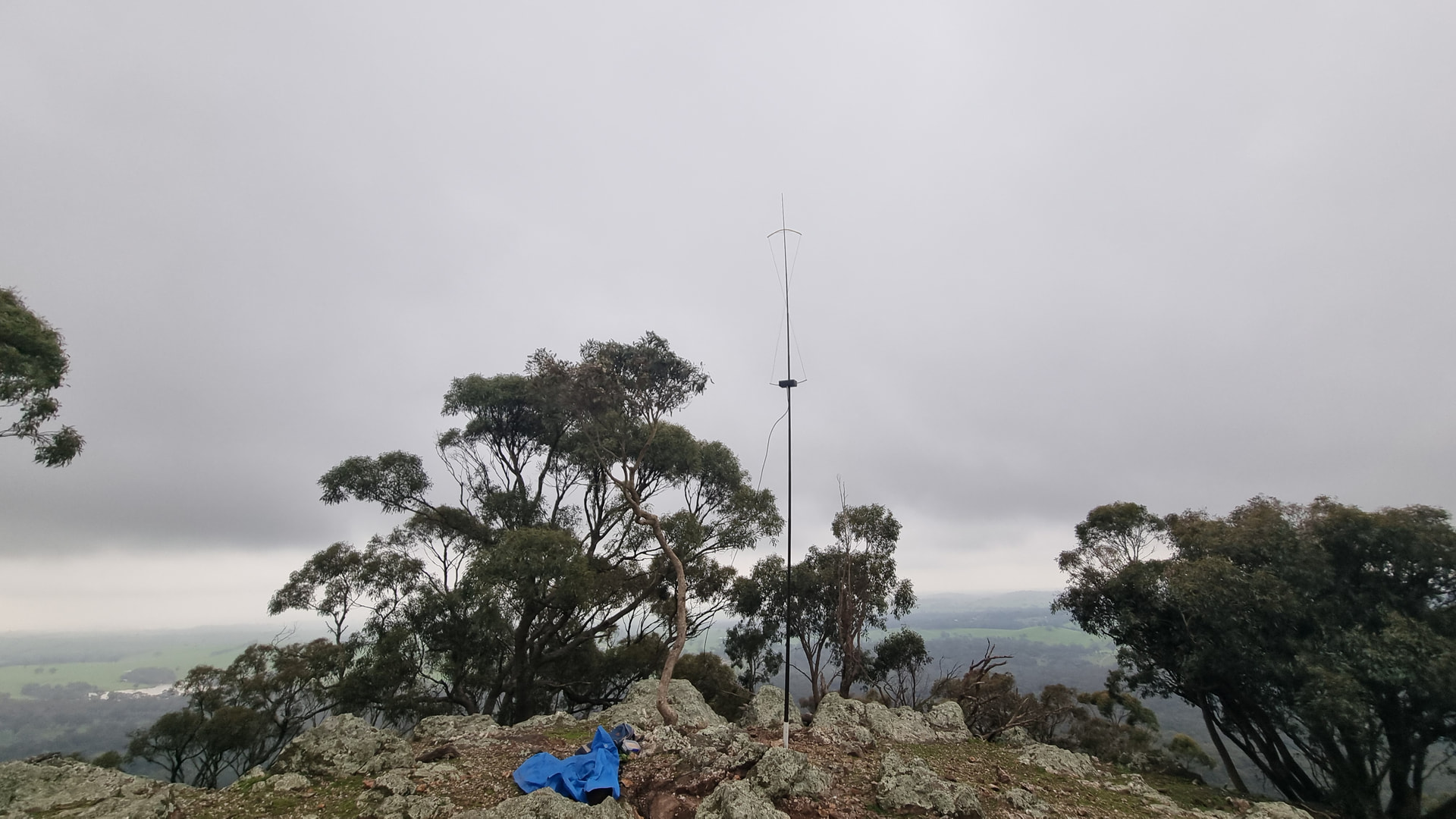
I started on 2m SSB using FT817ND, DSE 100 Watt amplifier and hourglass antenna. For DC power I use a 7 AH LiFePO4 battery for the radio and an 8.4 Ah LiFePO4 battery for the amplifier. The antenna mast was strapped to a sign detailing the 1820s expedition of Hume and Hovell and how the summit was named.
After posting a spot to SOTAwatch I logged 15 QSOs on 2m SSB in just over one hour. Taking a break from 2m SSB, I set up my HF Inverted L antenna using a long stick for support, so I could quickly switch back to 2m SSB if the other summits came up. I logged 11 QSOs on 40m then moved back to 2m SSB. After logging three more QSOS, including one aircraft assisted QSO to VK7, I exchanged SMS with
@VK2HRX who was activating Mt Donna Buang VK3/VC-002. Compton had misplaced his hourglass antenna and feedline and was left to just a handheld on FM. Moving to 2m FM we logged S2S QSO. Having been on the summit for just over two hours, with 19 2m SSB QSOs between 22 and 474 km, I decided I’d pack up and head back to the car.
Back at the car I did some mental arithmetic and figured I had enough time to revisit Mt Piper, VK3/VN-028, located about 45 minutes away.
At Mt Piper I had some unfinished business for the VKFF award scheme and needed to make 6 more 2m QSOs from the WWFF reference which the summit is in.
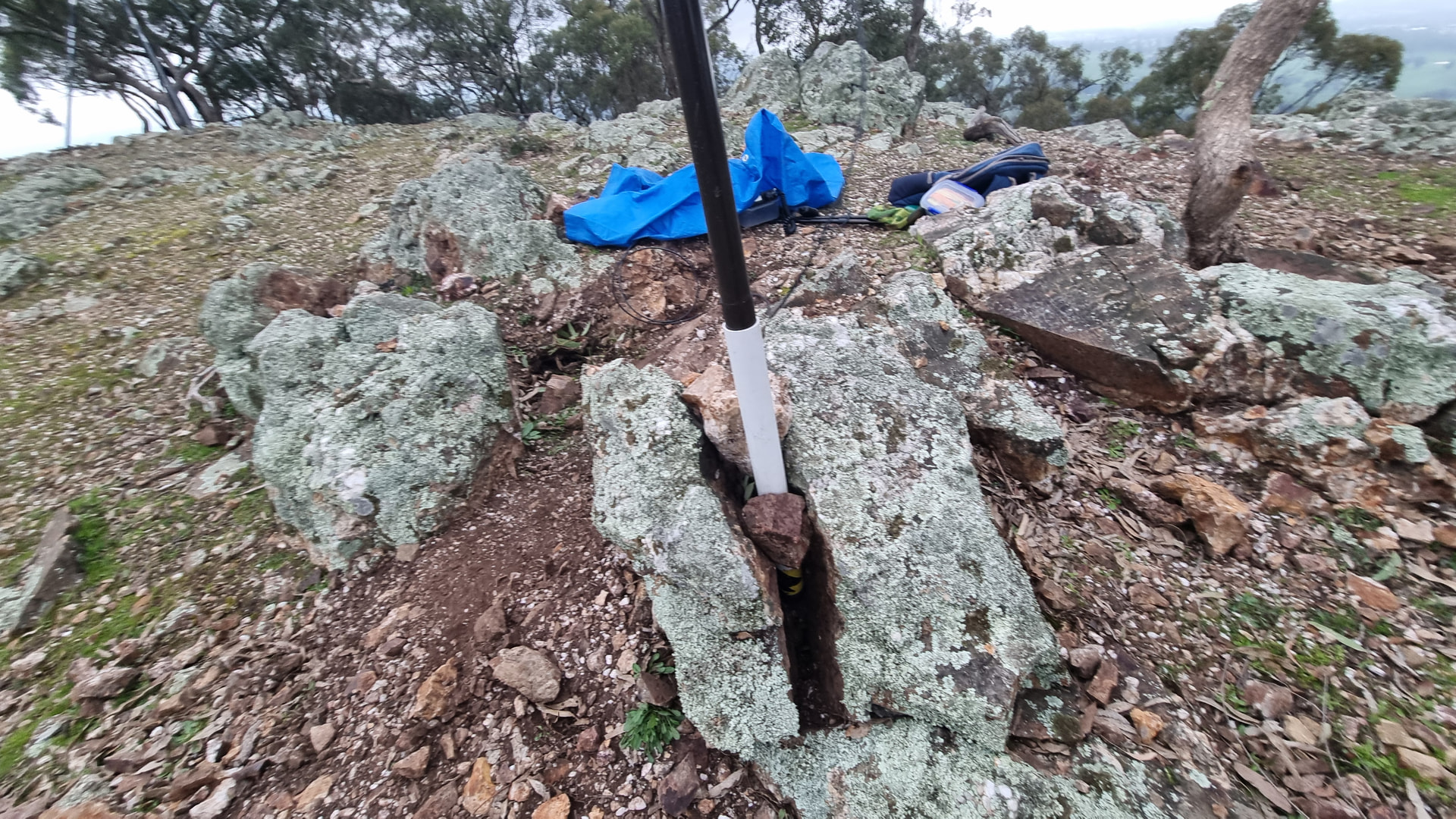
The second summit activation for the day would need to be quick as the forecast rain was not far away. Ascending Mt Piper in 20 minutes I set up with the hourglass and mast wedged into a rock crevice, assisted by a couple of well-placed rocks.
With my station set up under a tarpaulin, I was on air just in time to catch Stephen
@VK3SPM and Ron,
@VK3AFW at Mt Gordon, VK3/VN-027. Ron and Stephen were unable to access Mt Mitchel due to fallen trees and had detoured to Mt Gordon. After logging S2S with Stephan and Ron I logged four more QSOs on 2m SSB. The last QSO with Geoff
@VK3SQ, was just as the heavens opened and I packed up the station in the rain. The six QSOs on 2m SSB ranged between 71 and 176 km. Despite the rain it was worth the effort to reactivate Mt Piper as I logged four new call signs for the 2026 challenge adding more than 16,000 to my points score.
Hiking back to the trailhead the rain had stopped so I set up my HF antenna and made a further made 22 QSOs adding only to my WWFF activation for the day.