Dear all:
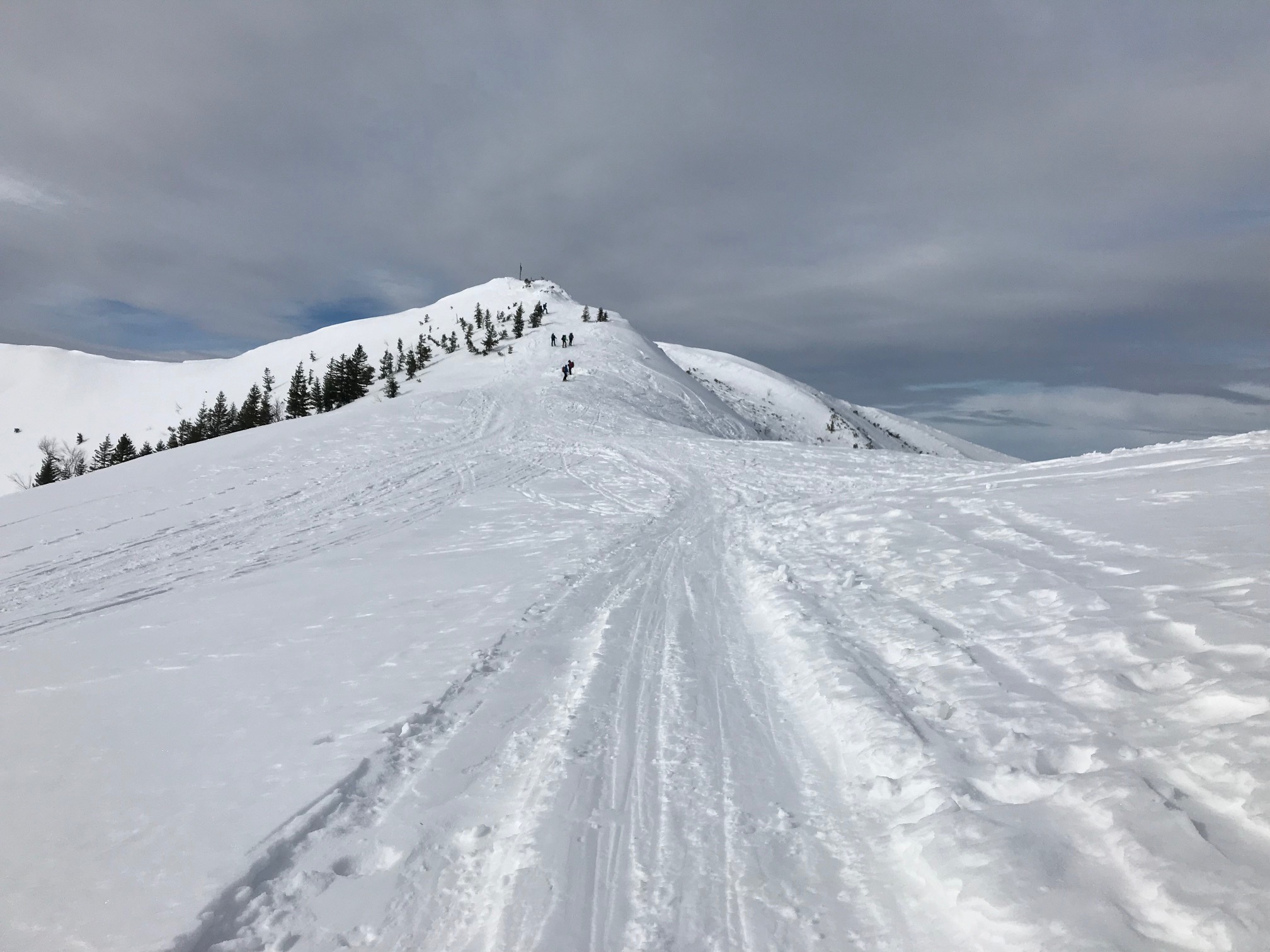
Today, I had a nice quick activation of DL/MF-053, Jaegerkamp (1746m, 6 Points); a very popular summit for skitouring and snowshoe hikes. Initially, I had planned to add the neighboring DL/MF-054, Aiplspitz via the normal route or as a traverse via the West ridge, but the predicted and actually arriving foehn storm recommended going home with one summit in the bag.
Logistics and Route Descriptions
Route descriptions are plenty on the Web, see e.g. Jägerkamp (1746 m) Skitour am Spitzingsee.
The starting point is the parking lot at the now closed Taubensteinbahn at ca. 1080m of altitude. Parking ist 5 EUR in coins. The path starts below the supports and cable of the old Taubensteinbahn. At 1300m of altitude, keep left; otherwise you continue to the Taubensteinhaus (this is where the majority of people go).
The beginning of the route is identical with DL/MF-050; at 1420 m asl (near the Schönfeldhütte hut), make a sharp left turn, pass below the steep and sometimes dangerous faces of the Wildes Fräulein (left) with sufficient safety distance and then east-northeast direction towards the Tanzeck until you see a DAV sign reminding of the sensitive nature in the area. Then, make a left turn and traverse to the summit only some 50 m below the actual ridge.
When the avalanche conditions are a bit more dangerous, it is better to continue from the Schönfeldhütte down to the Rauhkopfalm (ca. 60m downhill, can be done on climbing furs) and then make a left turn. That way you avoid the steep faces of the Wildes Fräulein.
Alpine Risks
This is a pretty popular route that is relatively safe from avalanche risks, except for the steep faces of the Wildes Fräulein and the risk of wet and ground avalanches on warm days and late in the season. The final eastbound traverse of the route may require a well-considered choice of route to be safe. You should know avalanche risk management, though.
Timing
The parking lot is about one hour by car from Munich. The ascent to the summit is ca. 700 m and takes 1.5 - 2.25 hours, depending on your pace.
The way down is ca. 45 minutes.
Equipment
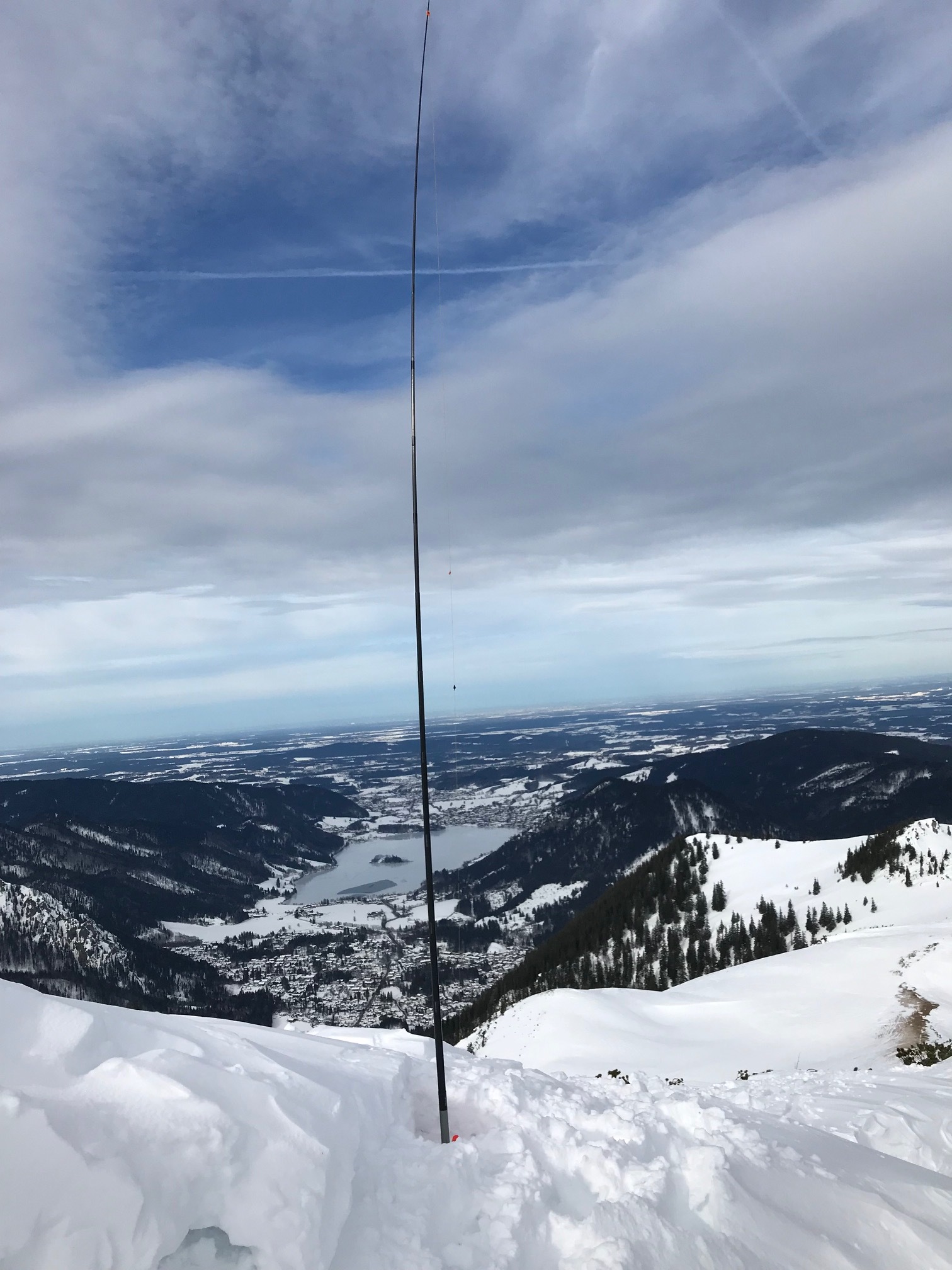
I used my TinySOTA station (MTR3 with power + accessories in a single enclosure), the @HB9BCB EFHW with traps for 40-30-20m, attached to a 6m carbon-fibre mast from Decathlon, deployed in an inverted-V from North to South.
Activation
I was on the summit by 11:20Z, QRV and called CQ on 7.0308 by 11:37Z. An RBNhole spot followed immediately,
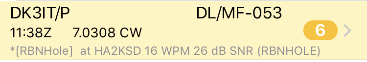
and the very moment, SM7DIT called (my guess is that he was in a contest an not actually chasing).
Propagation was good on 40m, as you can see from RBN:
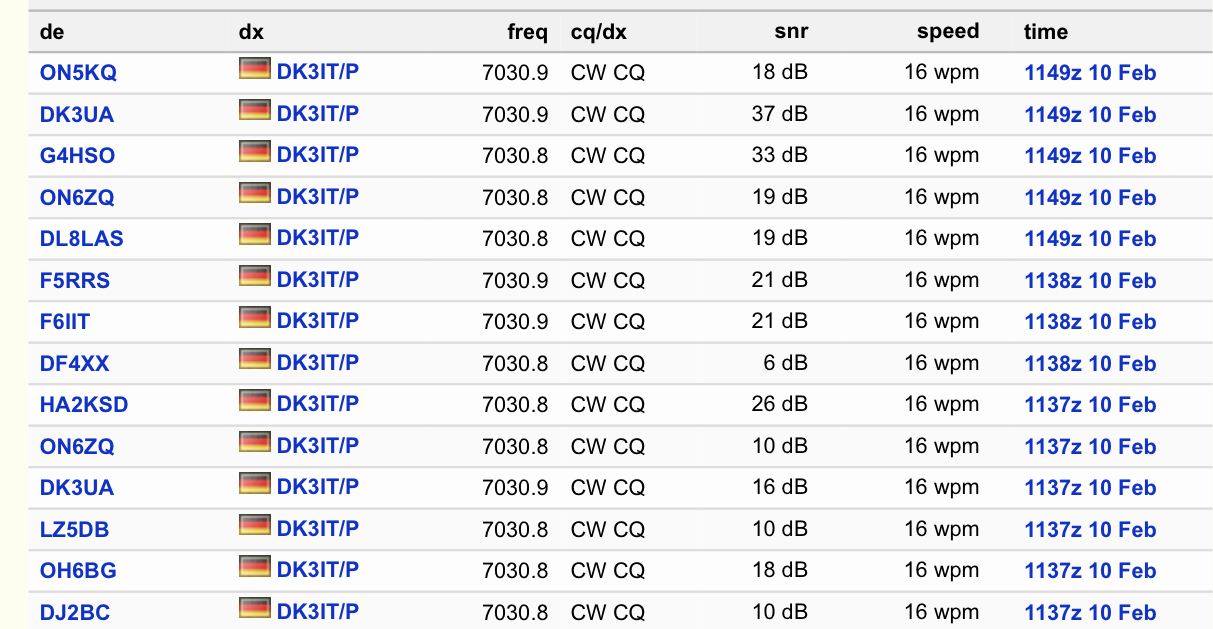
A total of 11 contacts were possible on 40m until it became quiet on my frequency and my fingers got cold. Two Spanish stations (@EA2LU and @EA2DT) made it, the most distant contact was with Oleg, @RN3QN from Russia.
When I could hardly feel my fingers due to the ever-increasing winds, I sent QRT and packed up.
A big thanks to all chasers!
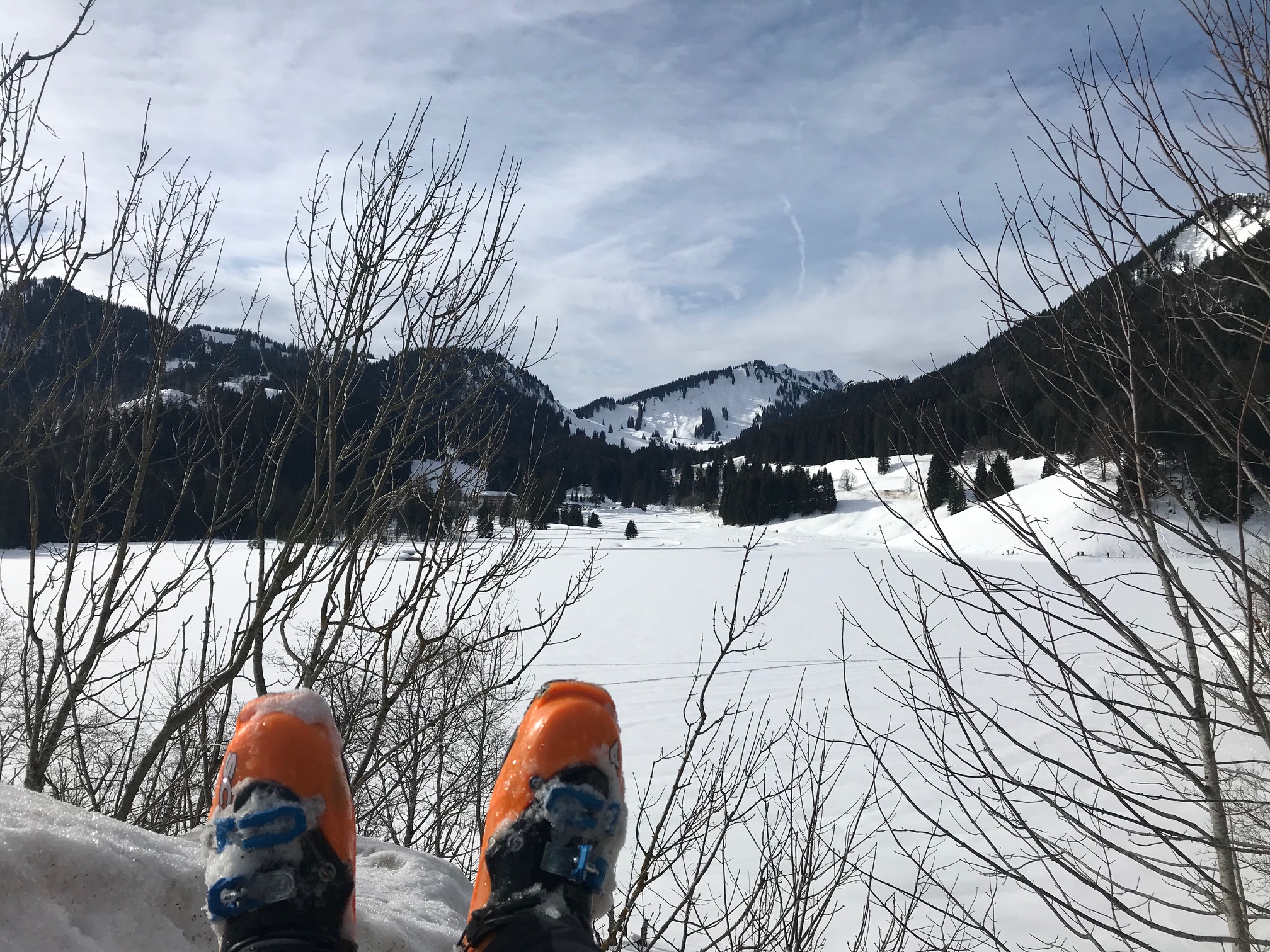
Attached, please find a few pictures.
73 de Martin, DK3IT
PS: I double-checked that my frequency was free before calling CQ, but at some moment, I heard someone complaing “QRL” - in case I stepped on someone else’s foot / frequency, my sincere apologies! It was noisy and cold on the summit…

Post-mission Analysis ![]()
 !
!