Superb Tim! Pints on me next time we meet.
3 Likes
Yeah, just had a look. 16900km is my record S2S.
I did a crude average of the Earth’s Polar and Equatorial circumference and got the value 40041.44km. That makes the longest path 20020.72km ignoring long/short path differences.
Your QSO with EI9KY at 19244 is only 777km from the maximum possible. Rather good stuff indeed. I think it would be fun to see if there are summits further apart and seeing if people can work together to top that distance.
5 Likes
Future challenge: total S2S kms over the year?
5 Likes
Matt, you better get onto finding a contract for the Hen and Chick Is.
Lady Alice Island ZL1/NL101 is ~1km from Hacho EA9/CE-001
Given the oblate speroid, an equatorial S2S might manage an extra 30km, but I don’t see any.
Lake Alice Is - Hacho might be the most equatorial and thus longest S2S, without actually sorting the database by exact distance.
For someone in Spain who want to try for an Antipode…
My local Mount EdenZL1/AK-023 is within 2km of La Pastorcilla EA7/CA-029 and 5km of Las Mesas EA7/MA-077
Christchurch’s local Mount PleasantZL3/CB-822 would be easy for someone going along the coast by A Lebre EA1/LU-081
3 Likes
An interesting parallel is in “round the world cycling records”.
I’ve sort of vaguely been involved in supporting the last three Tandem cycling world records. One element is that to count as a Guinness World Record you have to pass two “almost” antipodean points (there’s a little bit of leeway).
All of the three record holders passed through Spain near Madrid and and NZ through Wellington.
So these two are the obvious locations for most distant SOTA summits.
2 Likes
Wonder if anyone has activated both of them? I’ve Activated Mount Pleasant… maybe I should add A Lebre next time I’m in Spain! ![]() Not the same as a QSO between the two, but the furthest apart Activations???
Not the same as a QSO between the two, but the furthest apart Activations???
Edit: A Lebre is unactivated!
5 Likes
Here are some of the furthest summits (previously activated and currently valid) from each other:
| Summit 1 | Summit 2 | Distance (km) |
|---|---|---|
| EA1/SG-012 | ZL1/WL-097 | 20003.76 |
| CT/MN-012 | ZL3/WC-573 | 20003.67 |
| EA4/TO-040 | ZL1/HB-061 | 20003.37 |
| EA1/OU-001 | ZL3/MB-161 | 20003.36 |
| EA1/LU-050 | ZL3/CB-719 | 20003.32 |
| EA1/OU-032 | ZL3/MB-087 | 20002.92 |
| EA1/LE-267 | ZL3/CB-293 | 20002.76 |
| CT/TM-039 | ZL3/MB-084 | 20002.6 |
| EA1/LE-153 | ZL3/CB-506 | 20002.57 |
| CT/TM-015 | ZL3/TM-226 | 20002.57 |
Distance calculated with geopy.
5 Likes
So, this is the ultimate Summit to Summit?
Also, when do you sleep @GM5ALX Alex?
4 Likes
Nice work @GM5ALX … but
With my Truvial Pursuit hat ![]()
Isn’t the Ultimate Summit to summit going to be the Andes to South east Asia given the height of the Andes and the bulge of the earth ? …
Wonder if there is a calculation that factors both …. ![]()
![]()
![]()
3 Likes
Saves me doing it today. It’s not that hard a bit of programming TBH. Load summitlist csv into a bit of Python, iterate over summits calculating distance between all, save largest for each summit, output new csv with distance added.
And… the maximum is only 17km of the theoretical maximum, sweet!
2 Likes
GM/SS-104 to GM/SS-105 at 0.91km I think.
I put the Convals GM/ES-051 & GM/ES-057 and also GM/ES-005 and GM/ES-011 at a similar distance apart.
Worldwide would be a lot less, given the sharpness of some peaks in the greater ranges.
Here we are:
LA/OL-001,LA/OL-004,0.58
I/PM-039,I/PM-043,0.58
HB/VD-014,HB/VD-045,0.58
I/FV-059,I/FV-065,0.57
HB/SZ-005,HB/SZ-006,0.57
HB/FR-025,HB/FR-026,0.53
I/AA-039,I/AA-053,0.48
I/AA-052,I/AA-057,0.42
EA3/BC-012,EA3/BC-040,0.39
I/AA-052,I/AA-083,0.29
Tim now wants me to factor in bulges (of the earth), altitude of the summit and his 7m mast.
Also for completeness, I need to update the 800 million pairwise calculations with unactivated summits.
6 Likes
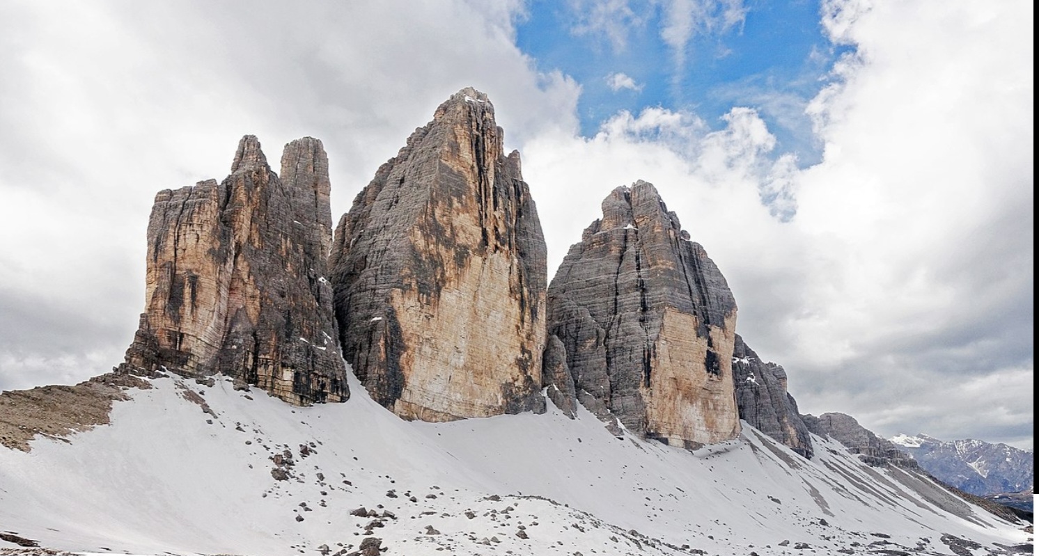
I was looking at the map and wondering how the map could be right and the summits valid. The photo explains the problems with maps nicely ![]()
3 Likes
Well done both, great achievement! At 1800z it will be Short Path on 20m, due north from UK. Its a reliable opening to ZL and quite often will skew to the North West.
From GM the antipode is near ZL9. If Dec @EI6FR goes back to ZL9 we can try a S2S!
73 Gavin
GM0GAV
1 Like
My list only looked at previously activated summits - as that shortens it to ~40,000 summits. In this instance then GM gives:
| Summit 1 | Summit 2 | Distance (km) |
|---|---|---|
| GM/SS-281 | ZL3/OT-526 | 19013.37 |
| GM/SS-281 | ZL3/OT-516 | 19008.29 |
| GM/SS-281 | ZL3/SL-285 | 19007.71 |
| GM/SS-281 | ZL3/OT-527 | 18997.88 |
| GM/SS-191 | ZL3/OT-526 | 18989.69 |
| GM/SS-201 | ZL3/OT-526 | 18989.56 |
| GM/SS-281 | ZL3/SL-307 | 18987.69 |
| GM/SS-206 | ZL3/OT-526 | 18986.25 |
| GM/SS-191 | ZL3/OT-516 | 18986.18 |
| GM/SS-232 | ZL3/OT-526 | 18985.87 |
(These distances are assuming uniform sphere)
I’m rerunning it now with all validate (in date) summits…this is around 160,000 summits.
Hopefully I won’t end up on ZL9/DI-001. I assume ZL9/AN was named as such because of where it is!
3 Likes
If you are truly serious about finding the longest (or shortest) S2S contacts possible, you need to take into account the extent of the activation area and not just the summit coordinates. Obviously this can’t be done with the data we currently have available ![]()
Martyn M1MAJ
2 Likes