We have a few interesting ones around the SF Bay Area.
Mount Davidson (W6/NC-423) is in the middle of San Francisco.
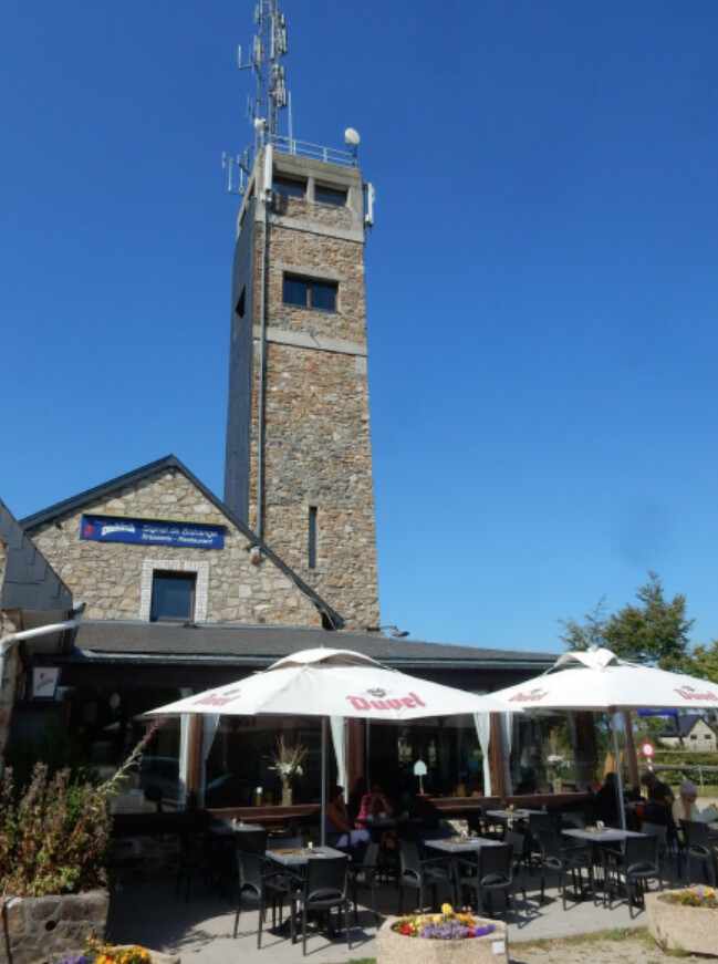
El Toro (W6/NC-376) might be inside the city limits of Morgan Hill, but it is on the city seal, so that counts for something.
Mount Caroline Livermore (W6/CC-075) is the high point of Angel Island in the middle of San Francisco Bay, with great views when it isn’t fogged in. I’ve read that 50 feet of summit were graded off for a Nike Missile radar installation, then restored. I’m not sure about that, because there are some concrete pads near the summit and an old azimuth marker pointing west. (Russia is that way!).
There has been debate over the years about which of the two peaks of Mount Tamalpais is higher. The current decision is that the peak with the great views, fire lookout, parking lot, restrooms, and ice cream stand is the lower one, and that the peak with no parking and an abandoned, fenced-off military installation is the higher (W6/CC-063). They only differ by a meter or so.
The usual trail to Diablo North Peak (W6/CC-051) starts at a trailhead below the summit of Mount Diablo (W6/CC-045), drops down to the saddle between them, then climbs to the summit. You could hike to the summit of Mount Diablo from the same spot, but it is steep and nasty, so I’d get back in the car and drive to the summit. The accessible part of that summit is covered by a building, so you need to operate from the observation deck.
Here is that hike: North Peak W6/CC-051 and Mount Diablo W6/CC-045 - KE6MT
Discovery Peak (W6/NC-054) in the Ohlone Wilderness replaced Mount Rose as the local high point in 1991, and even now it might not be the highest point there. That area is surprisingly wild and hard to access for a place so close to 11 million people.
https://www.summitpost.org/discovery-peak/375862
wunder