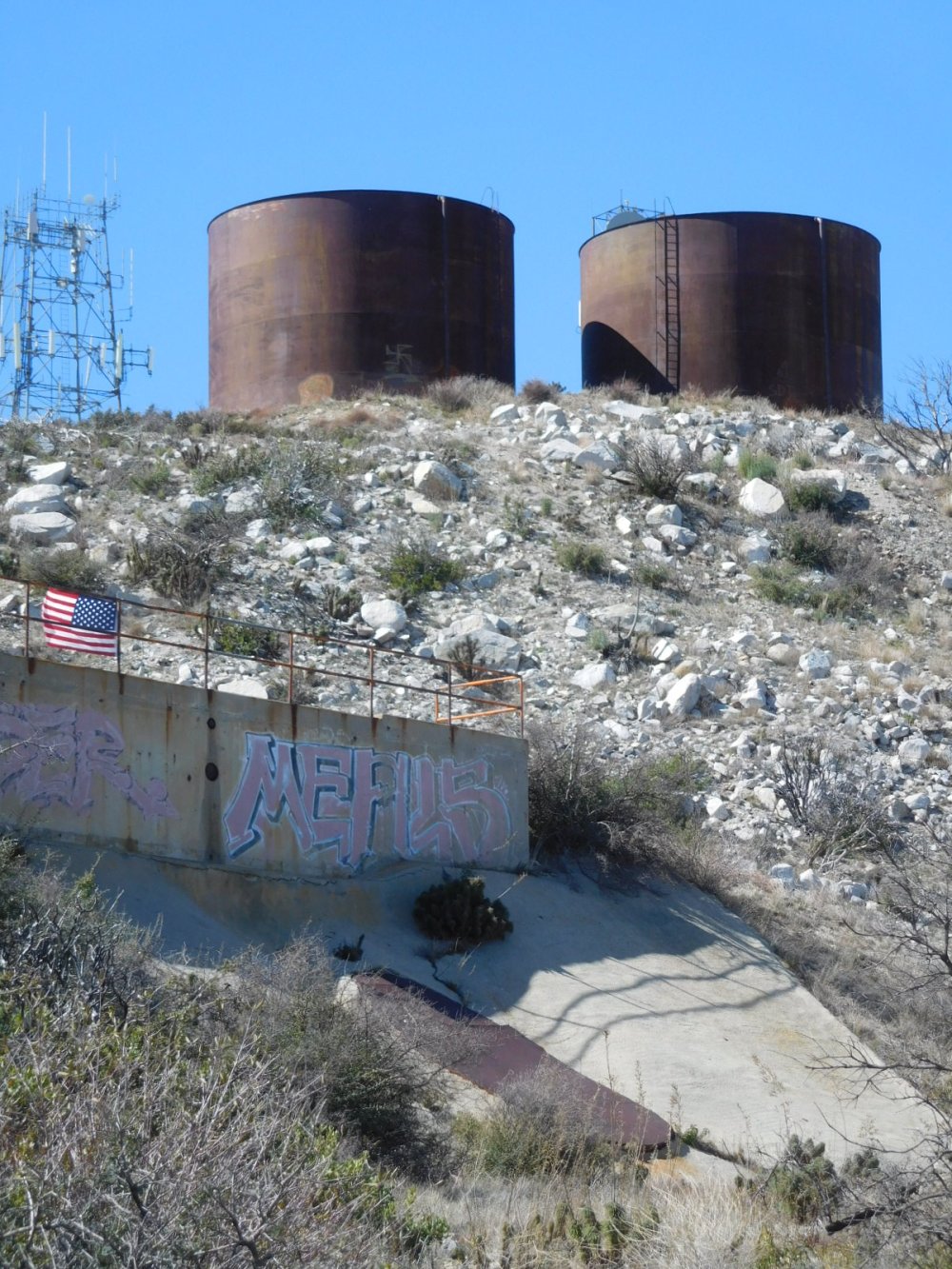
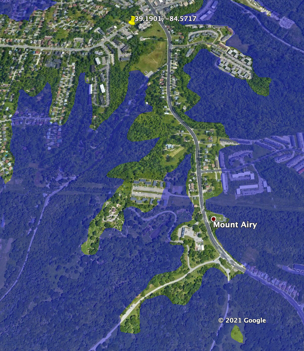
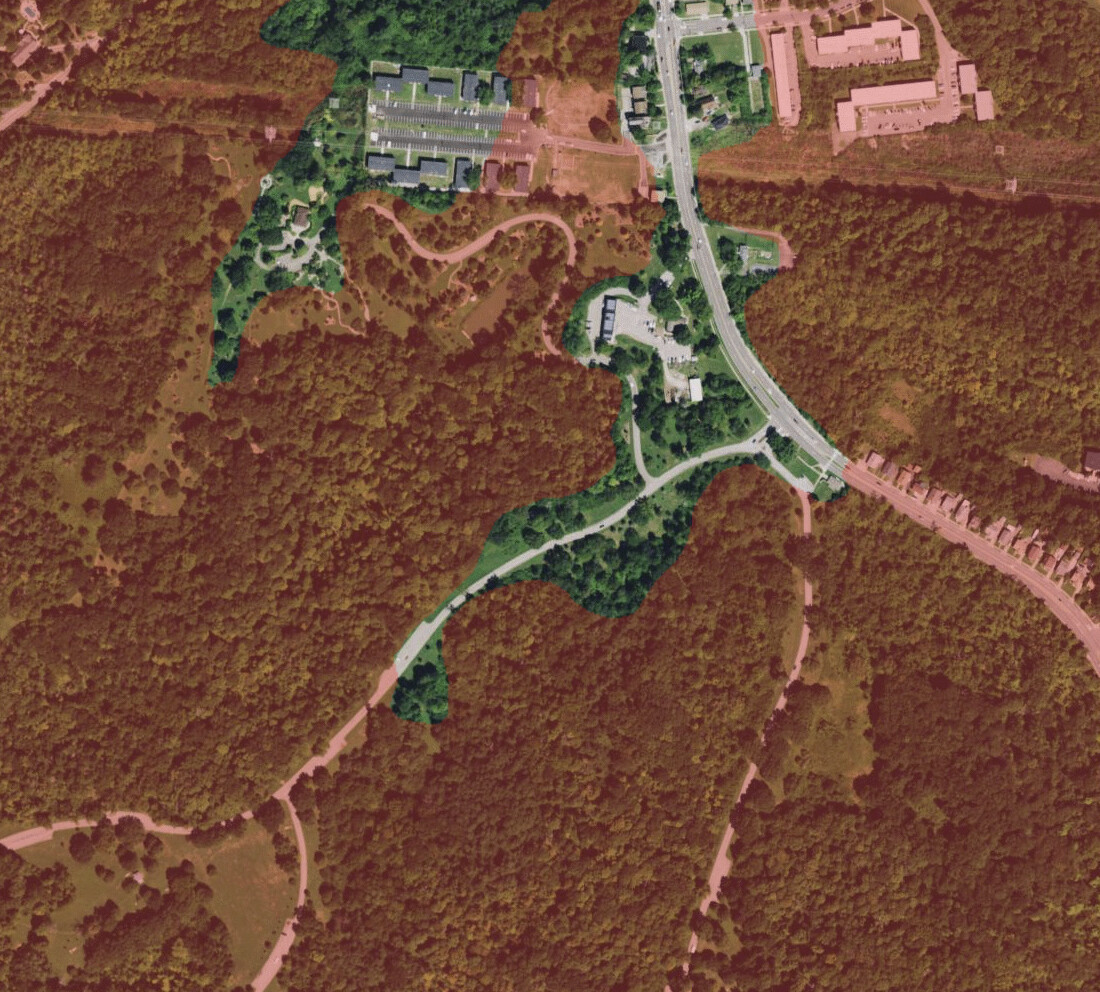
I attempted an activation of W8O/SW-012 earlier this week but was rained out! BTW it looks like the AZ extends Southwards to a public parking lot in Mt Airy forest.
1 Like
Washington County HP, W9/IN-001, 33 miles north east.
Greenbrier Knob - 822' Indiana →
Washington County HP - 1,053' Indiana
I suppose the meandering Blue River sliced it off at some point in the past. Past that it’s a gentle dome up to the parent.
2 Likes
My favorite part of that summit is the 6m pile of dirt on the summit so the “natural” high point gets to an even 700m.
Looking at the 3DEP 1/3 arcmin elevation data the AZ looks to be very very big.
Base map data: © OpenStreetMap contributors, SRTM | map style: © OpenTopoMap (CC-BY-SA )
That’s about 11 miles north to south.
Yes, the Blue Spruce Road lot looks to be within the AZ.
(And for anyone new to SOTA, wondering about drive-on summits - be sure to move away from the vicinity of the vehicle and operate independently of it! Also, if you think you’ve struck lucky, finding an op with a fixed station in the AZ, see rule 3.7.1 “5. All equipment must be carried to the site by the Activation team”. Finally, remember that your QSO partners must be outside of the AZ.)
2 Likes
I know it’s not exactly what you are looking for, but here in the flat land of Minnesota: https://www.summitbrewing.com/
2 Likes
Crazy big! Yes the Blue Spruce lot was the just the nearest public land I found. I’m sure there are other great spots there too. Why this summit has been activated as few times as it has is a mystery to me but I’m hoping this will help people along. Thanks Simon!
Simon, could you show the contour of the AZ for the two peaks in Iowa, WØI. I remember when we talked about making those the first ever AZ shorter than 25m in Sota history because they would be oddities, otherwise. Incidentally, there doesn’t appear to be any access to the ARM in WØI. Does one exist? Thanks
EL
1 Like
The boat at the top of Turkey Hills South (w7a/cs-045) in Flagstaff, AZ. It’s easily visible with Google Maps or Earth but here’s a screenshot.
73, Mike
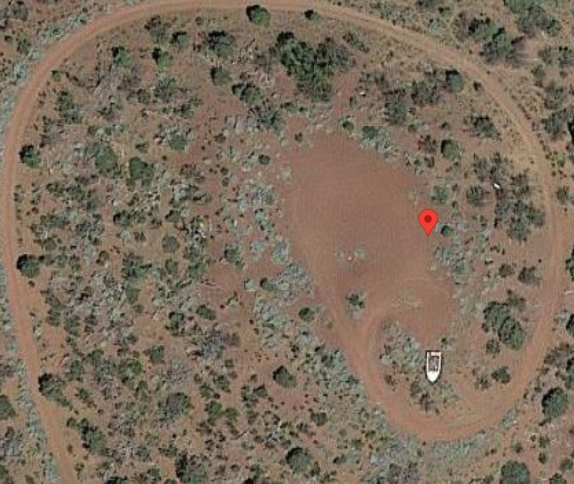
6 Likes
Anyone for football? DM/NS-177 is on a football field. ![]()

Video by @DL1CR
The home team is SV Pyrmonter Bergdörfer.
Ahoi
Pom
5 Likes
W0I/IA-002, Pilot Knob is quite straightforward, and about 0.75 miles end to end:
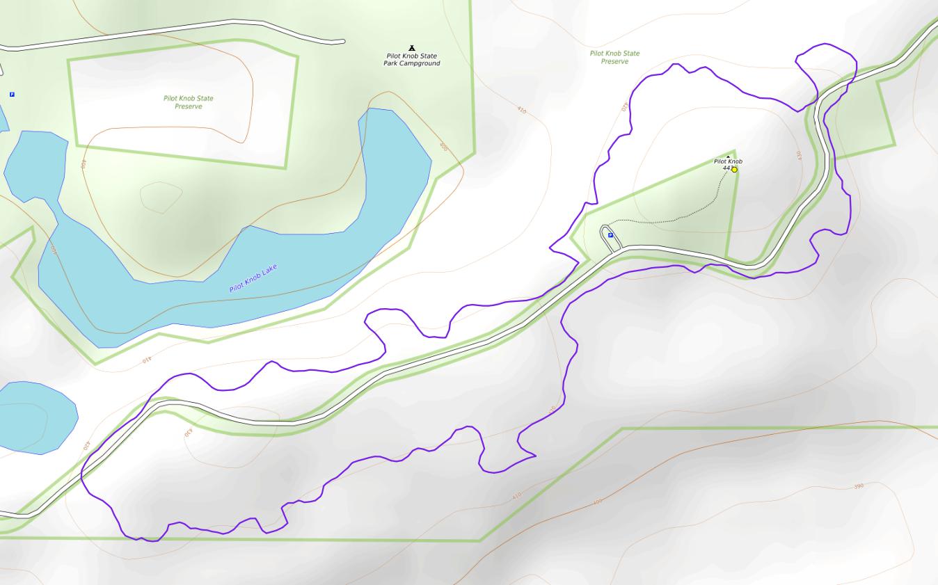
Base map data: © OpenStreetMap contributors, SRTM | map style: © OpenTopoMap (CC-BY-SA )
W0I/IA-001, Carroll County HP, has quite a big AZ at about 6.6 miles greatest extent. I used 1-arcsec data for this or it would have meant messing around with ~2 TB GB of data.
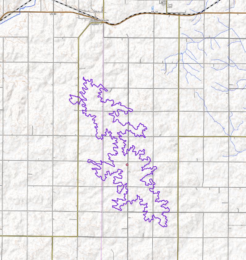
Base map data: © OpenStreetMap contributors, SRTM | map style: © OpenTopoMap (CC-BY-SA )
1 Like
Another one about Pilot Knob!
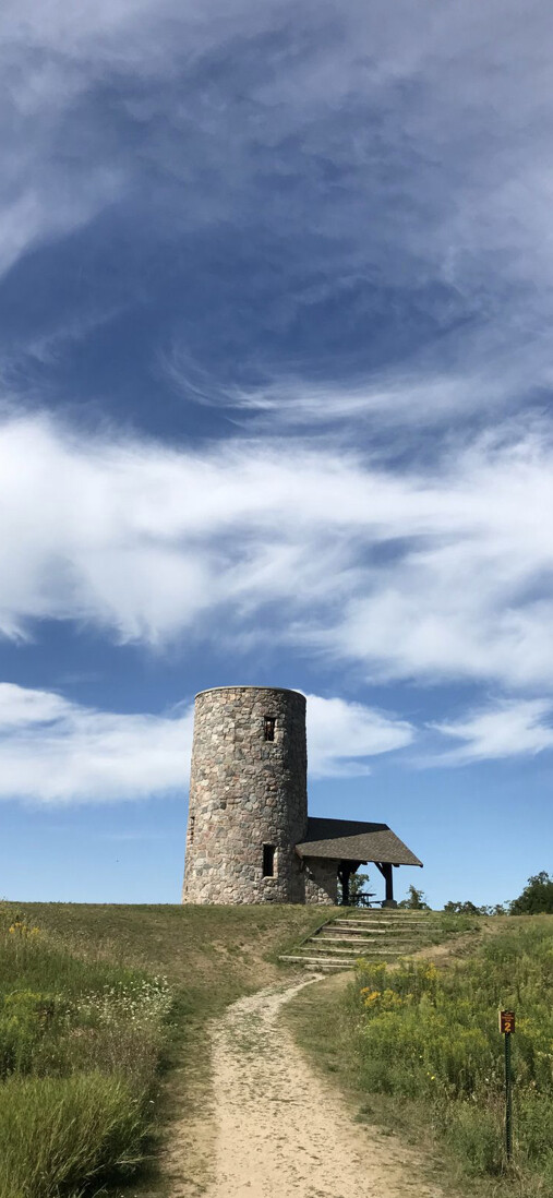
Pilot Knob IOWA. (For those who don’t know Iowa is NOT know for summits) I remember calling CQ SOTA on 2m FM and having to explain during each QSO what I was trying to do!
Driving down I35 from the Twin Cities I was questioning my sanity. The activation turned out to be an unexpected good time!
Erik
KE8OKM
3 Likes
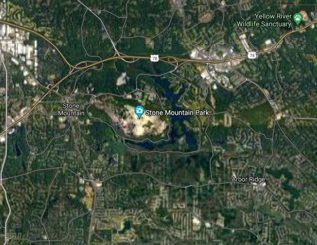
Stone Mountain (W4G/CE-003) is in the Atlanta, Georgia metropolitan area, though outside the boundaries of the City of Atlanta.
[Google Earth screenshot]
73,
Scott WB8ICQ
And Bell Knob (W4G/NG-035) is in a county park in Hiawassee GA. So we have at least two urban summits in Georgia!
1 Like
Too bad I wasn’t a SOTA operator when I lived in Cincinnati.
1 Like
Bell Knob (W4G/NG-035) is a KILLER spot for a satellite activation…as well as some very interesting onlooker comments haha!