Unsuccessful Activation of R9U/SO-030. However, the Activation of Another Summit – R9U/SO-009 Was Successful!
The goal of our four-day hiking trip through the Ural Mountains was to activate two summits located in a remote and rarely visited area.
Day 1:
Starting from Ufa, we reached the village of Verkhnyaya Katavka, on the edge of civilization, after 4 hours. Another hour by off-road vehicle brought us to a gate, where the road ended.
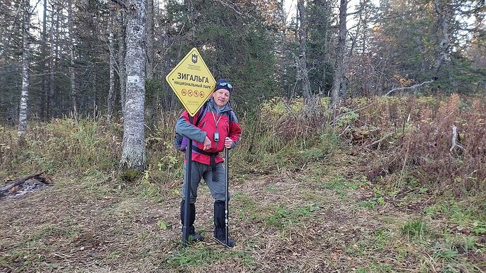
Beyond that, only taiga, mountains, and the “Zigalga” National Park awaited us.
By dusk, after a four-hour hike up an abandoned forest road, we reached the national park boundary.
There, in a dip along the Zigalga ridge, we set up a tent in a small forest clearing, which would serve as our base camp. It rained throughout the night.
Day 2:
In the morning, with light backpacks containing only food, water for one day, and the radio, we set out toward summit SO-009.
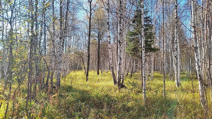
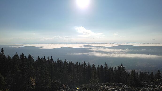
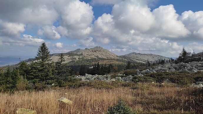
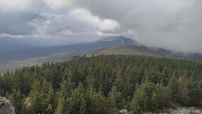
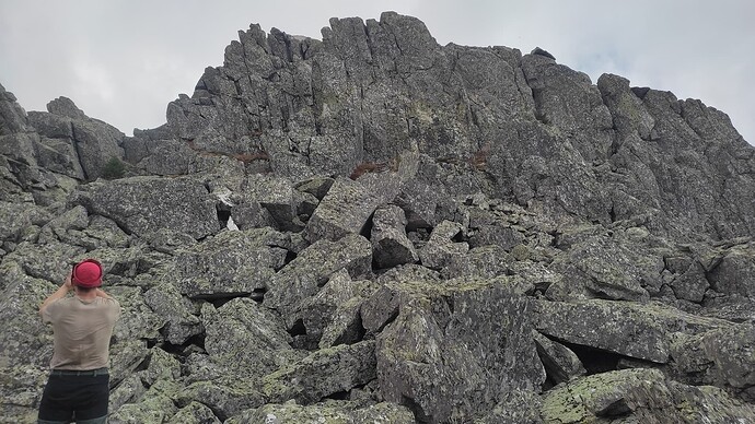
Initially, we trekked through dense forest and tall grass in a thick fog. As we ascended, the fog began to clear, and the forest gave way to steep slopes covered with large boulders.
Fortunately, the sun broke through the clouds, drying the slippery rocks.
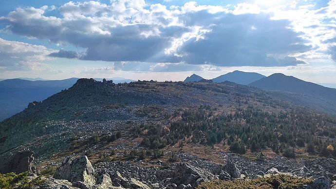
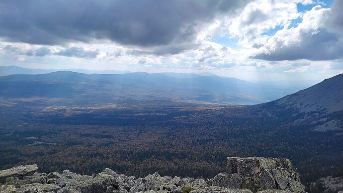
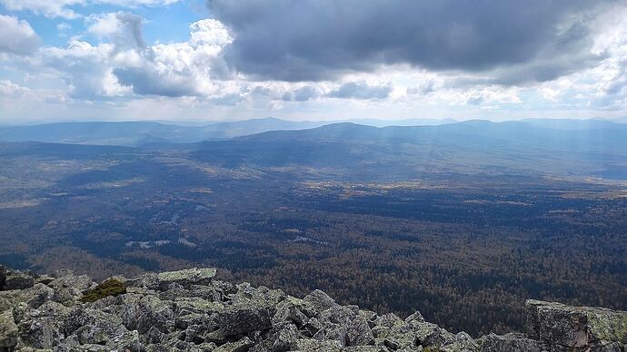
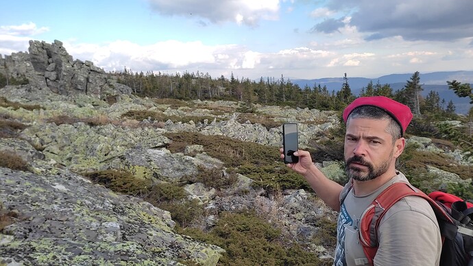
Most of our journey to the summit was across stone fields, with occasional mountain meadows.
It took us nearly 5 hours to cover the 6 kilometers. It was a challenging hike!
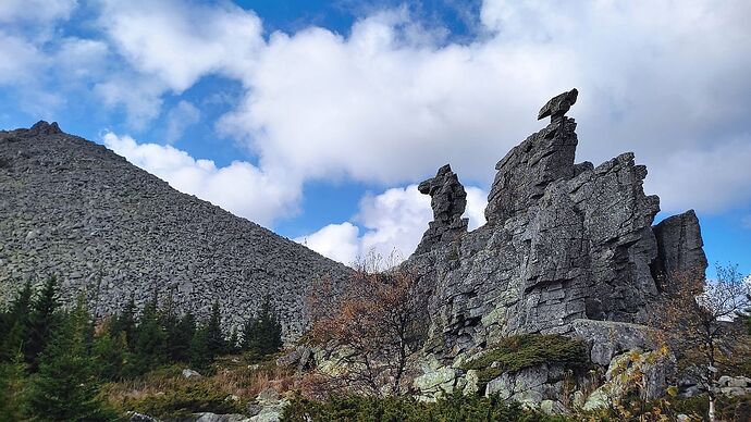
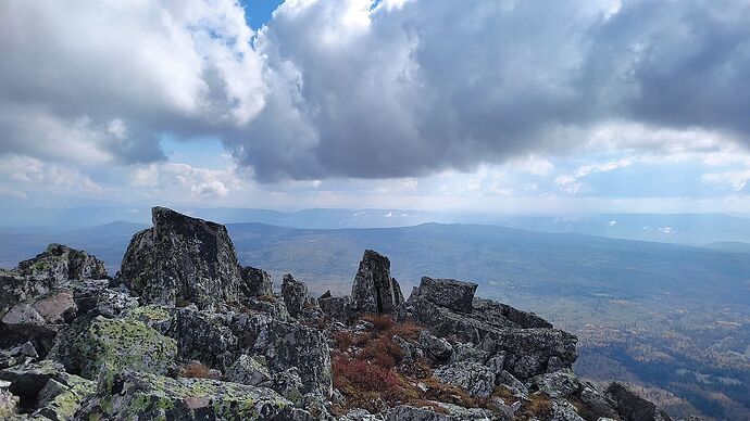
Finally, we reached the rocky ridge at the summit of Malyy Shelom Mountain (R9U/SO-009).
The wind was cold, but the sun warmed and dried my soaked boots, despite the useless “Gore-Tex” material. I should have worn simple rubber boots!
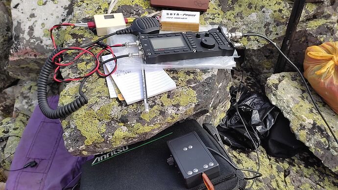
This time, I had a “Discovery TX-500” transceiver in my backpack instead of my homemade “SOTA-transceiver.” I had left my trusty homemade transceiver in the Altai Mountains, where it became a gift for a local ham, Ed, UA9ZR.
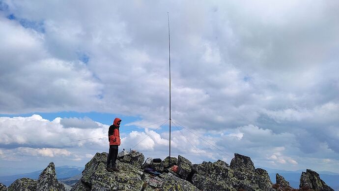
The GP antenna and 10 watts were enough to meet the requirements. 79 QSOs in one hour and 15 minutes of summit activity, including 2 S2S QSOs. The farthest contacts were with Japan. I noticed the receiver’s sound was a bit odd when chaser signals were especially strong, but I didn’t think much of it, assuming it was just an AGC misconfiguration.
I wanted to stay on the summit longer, as propagation on the HF bands was improving, and there were many signals on the 10-meter band. However, we needed to return to base camp before nightfall. We quickly packed up the antenna and radio, had tea with sandwiches, and hurried back. The first activation of summit SO-009 was a success!
Thankfully, bears had not touched our tent or food supplies. The night was rain-free, but the descending clouds soaked everything around us once again.
Day 3:
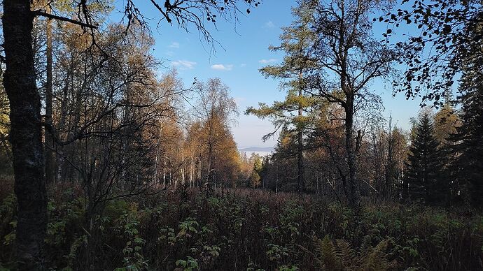
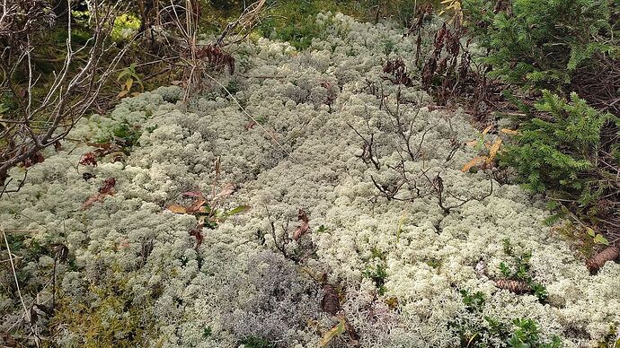
The morning was foggy, and the grass was wet. Water dripped from the yellowing leaves. After breakfast and a quick pack-up, we left camp and headed toward summit SO-030. This route was easier than the trek to Malyy Shelom. The distance was about 5 km, with most of the path along an old forest road. At least we didn’t have to push through spruce branches or navigate waist-high wet grass. Still, after just 15 minutes, our boots were soaked again. Water squishing in our boots became a part of our reality—bogs, fog, wet trees, and grass.
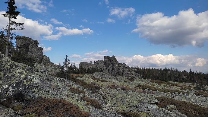
Like the day before, a miracle occurred. As we reached the stone fields, the sun appeared from behind the heavy clouds!
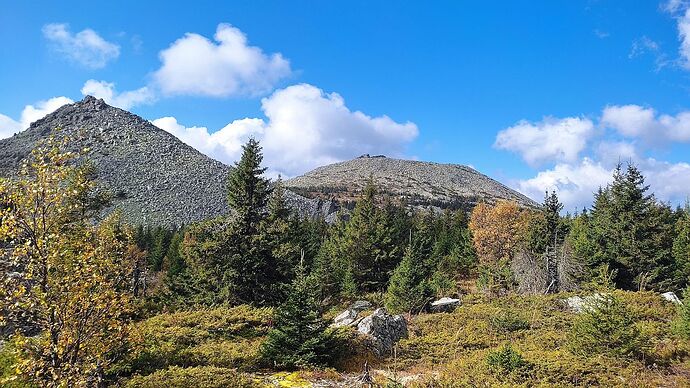
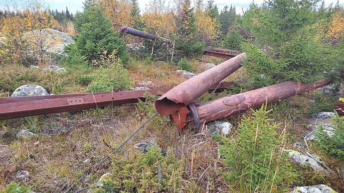
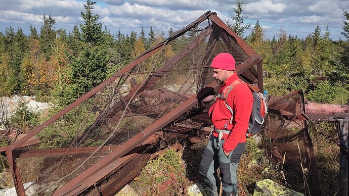
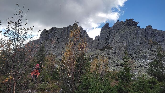
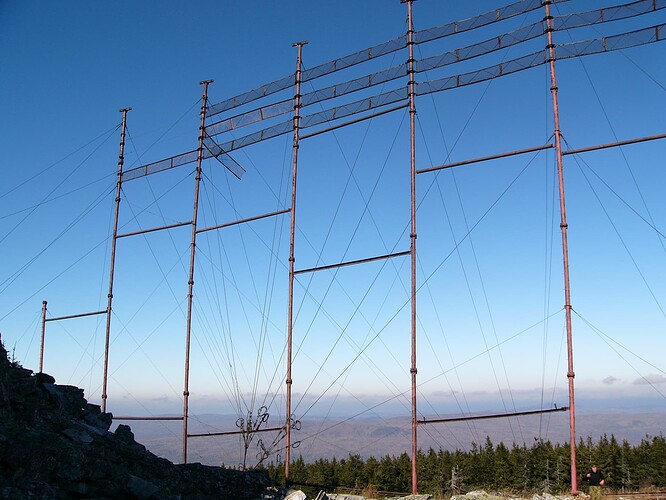
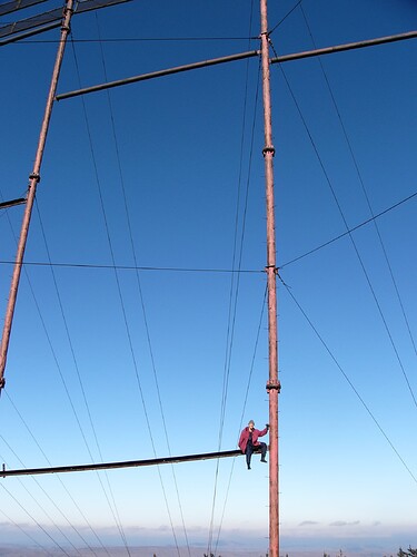
We didn’t need to use the GPS to find the exact direction to the summit, as the wind cleared the thick clouds. The twin peaks of Antennaya Mountain (summit SO-030) emerged between the branches and yellowing grass. The summit’s name, linked to antennas, is not accidental. About 40 years ago, a massive structure of tall steel masts and metal mesh frames was built at the summit. Thick steel cables stabilized the 50-meter-high structure, which was visible from over 100 kilometers away on clear days. It served as a passive repeater for long-distance radio relay communications. The ridge had blocked radio waves, so the construction in the middle of the taiga must have been a massive undertaking, with helicopters used to transport and assemble the materials. Recently this grandiose structure was destroyed. Now on the plateau, between the rocks lies a pile of rusty scrap metal.
Torn and twisted steel pipes, beams and cables as thick as an arm. No one would think of using helicopters to haul scrap metal—it would be economically unfeasible. There are no roads for heavy machinery to reach the summit. Why was this monument destroyed?
At first, we followed a barely visible path through thick grass, then crossed stone fields until we reached the rocky outcrops. There was no room on the rocks to set up our antenna, so we placed our modest mast – a fishing rod – on the plateau where the large masts once stood.
Once again, the wind drove the clouds, occasionally reducing visibility to just a few meters.
Around us were twisted and broken steel pipes, tangled metal structures left after the collapse. Short but dense spruces shielded our position from the wind gusts. Fortunately, there was GSM reception at the summit! Setting up the antenna on flat ground was simple, convenient, and fast. I immediately installed the external automatic tuner at the base of the antenna. This time, I had an extra hour for the activation compared to the previous day, so I decided to start on the 30-meter band. The LDG-817 tuner can tune the GP-14 MHz antenna to any band, and it had performed flawlessly on SO-009 the day before.
I connected the transceiver, transmitted a carrier signal, and was about to press the “start” button on the ATU. But this time, there was no familiar relay clicking sound—the tuner was silent. The LEDs blinked, indicating that the tuning process was underway. My partner, thinking aloud, said, “Cursed place. Even those masts fell!” I had a different thought: perhaps the person I borrowed the tuner from hadn’t maintained his equipment properly.
No tricks could get the tuner working. I removed it from the mast, opened the case, and checked the internal battery—it was fine. I cleaned the spring contacts, although everything looked clean. I noticed the coaxial connectors were slightly loose, so I tightened the nuts. Lastly, I wiggled the microcontroller in its socket, thinking there might be oxidation.
I’m not sure which action did the trick, but after reassembling the unit, the tuner immediately started working. Even with a low power carrier, it “clicked” for a few seconds and tuned the SWR almost to 1.
After spending 20 minutes troubleshooting the ATU, I finally sat down at the transceiver and called the support group, requesting a spot on 10122 kHz. After my first “CQ SOTA,” instead of the usual noise and chasers calling in, I heard strange bubbling sounds. A second later, the radio fell silent. Completely. There was no sound in the headphones or speaker, not even the self-monitoring tone. The S-meter and spectrum display indicated that the receiver was operational, but no amount of adjustments in the menu made any difference. Even a full reset and reboot didn’t help.
The clouds once again enveloped our position. Visibility dropped to zero, and it was cold. Indeed—a cursed place!
On the third attempt, I managed to call Ufa, reporting the failure of the transceiver to Marat RA9WJV and the impossibility of activation.
It was disappointing. We decided not to stay long. We packed up the radio, had lunch, and retraced our steps. As soon as we left the unfriendly plateau, the sun came out. We descended wearing only T-shirts.
Three hours later, we were back at base camp. The sunny, warm weather lasted until evening, allowing us to dry our gear. Half a day of rest in warm weather is a rare gift during an autumn journey. A strong wind rustled through the trees around us all night, and by morning, the temperature had dropped below freezing.
Day 4:
In the morning, all the yellowing grass was covered in frost. We quickly had breakfast, packed up the camp, shouldered our backpacks, and headed down. After an hour and a half, we made radio contact with the off-road vehicle driver on VHF. Twenty minutes later, we were at the gate. Five minutes after that, we heard the roar of the engine. Soon, we were on our way home. Behind us lay what is perhaps the most rugged ridge of the Southern Urals—the Zigalga Ridge.
73
Vlad
RX9WT
