Motivation
2021 was the last time I visited the Pyrenees. Is it me or time is going very fast!!
This year I had the opportunity to visit another EA2/NV summit in the Pyrenees, which, despite located in the North of my region (Navarra), I rarely have chances to organise a trip there.
It is easier to hike such high peaks in summer time with good weather. For that kind of summits I can’t follow my usual routine of a morning hike. Instead I need to spend a full day or even two.
I chose this summit (EA2/NV-007) as it was a new one for me, and another complete, nr.131 in my log. In the other hand, it had only 8 activations done to date, a few of them in HF.
On the return of Mt. Barazea, I would pass near Mt. Kartxela, NV-004, and I decided to combine both in a single run the same day. Let’s see how it went.
Activation date: August 5th 2024.
Day 1: the driving
On Aug-4th I decided to drive to approach and sleep in a well known mountain hut, called “Refugio de Belagua”, also named “Refugio Angel Oloron”, to honour a local mountaineer very active in the 1940-1950 decades. Hut coordinates are 42,9452 N, -0,8348 W.
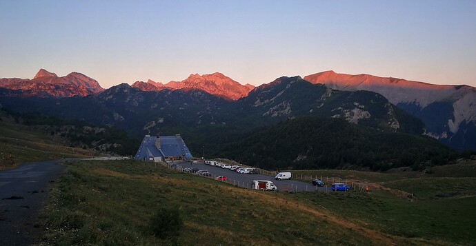
The drive from Pamplona is 115 km long, not much, but part of it is a wavy road passing by small villages in a mountaneous area as you approach the border with France. For this reason the drive took me about 1 hour 45 minutes and I arrived in the evening, just before nightfall. The surrounding mountains offered a charming welcome near the hut, dressed in the red colour of the last sun rays:
The mountain in the left hand side is the highest in Navarra, EA2/NV-001 Hiru Erregeen Mahaia, still pending in my list…
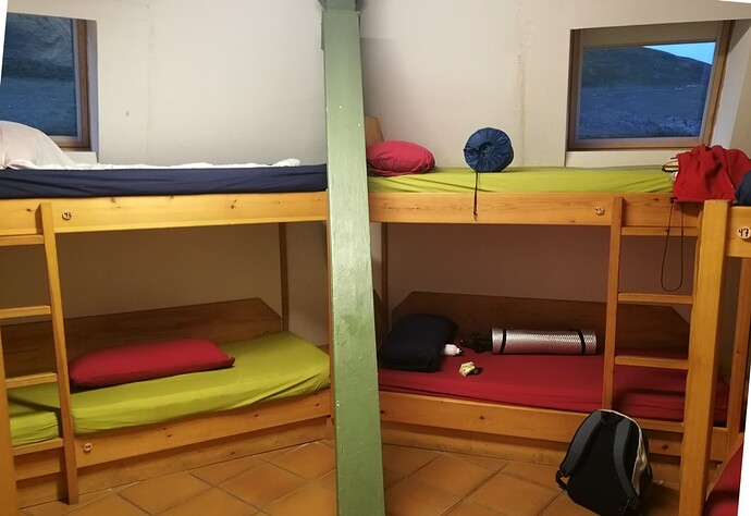
The guard in the hut gave me a brief tour and some advices. The hut is big, allowing accomodation for 56 people. There were many people having dinner. I took mine outside, as it was still warm, watching the beauty of this area. I knew next day would be a long one and I went to sleep soon, in my bunk bed, with some other mountaineers.
Day 2: Mt. Barazea, EA2/NV-007
I didn’t sleep very well, perhaps a little nervous with the planned trek summiting two exigent mountains. I woke up at 4:45 utc: time to have breakfast and get ready, which I took again outside, as weather was hot that day.
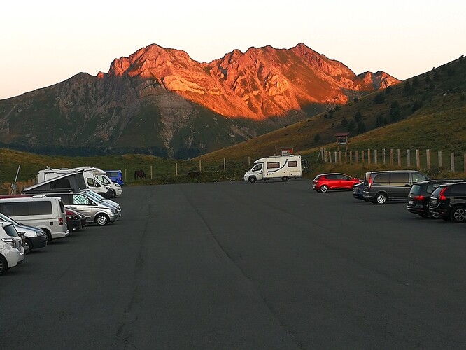
From my seat I saw how the first sun rays caressed the peaks in front of me, making the near mountain Kartxela, NV-004, glow in orange. This is the summit I would activate on my return later this day, hopefully.
I left the hut and drove less than one km to park in the start of the trail, at 42,9435 N, -0,8461 W. I had a GPS track that was very helpful for this long hike.
- Trail length from parking to Barazea: 6,2 km (one way)
- Mt. Barazea elevation: 1890 m
- Elevation gain: abt. 640 m
- Walking time from start to Barazea: 2 hour 45 minutes
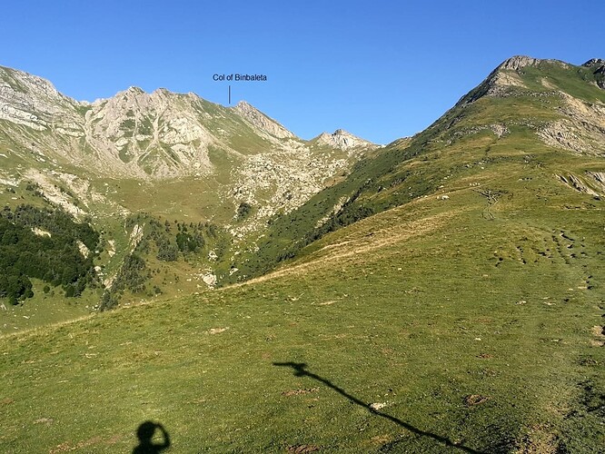
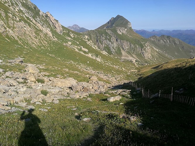
The path is quite flat the first 2 km, and is marked every now and then with red & white signs. Then you arrive in the col of Arrakogoiti (1416m.). From this point the true ascent starts, going up to the col of Binbaleta (1680 m), see this section in the picture:
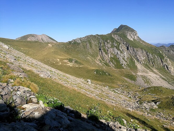
At this elevated point you get the first view of Mt. Barazea, a lonely massive pointed teeth:
Right after the col of Binbaleta, a huge descent starts, going down keeping a barbed wire fence at right hand all the time.
While approaching, the neighbor wide head of Mt. Otsogorrigaina, NV-006, is seen at left hand side of Barazea.
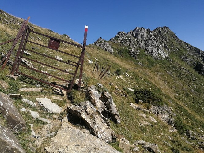
A metal door opens the last few meters to reach the col of Belhai (1720 m).
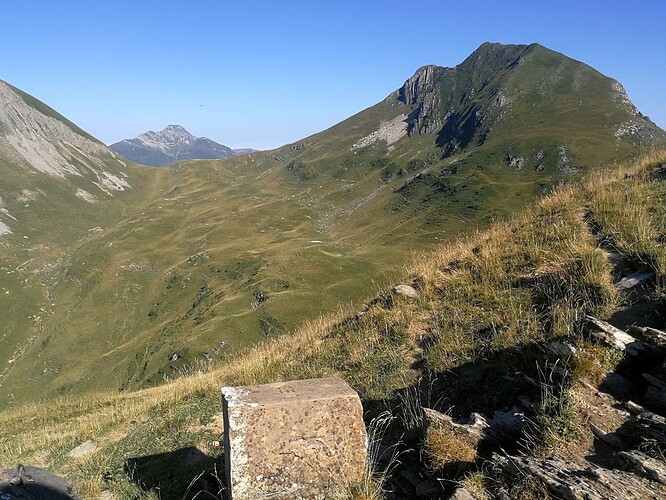
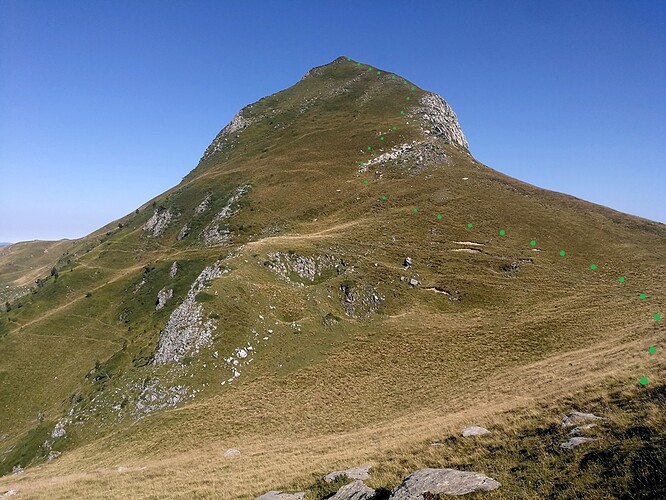
From the col the final direct ascent of Barazea becomes obvious.
There is no path to the summit, just a grassy cover by the ridge to the summit (see green dots):
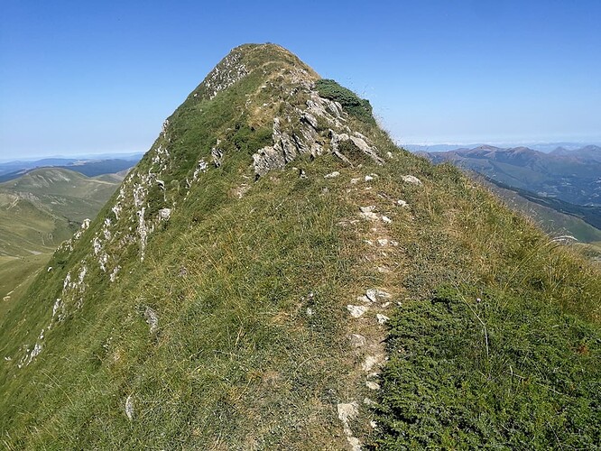
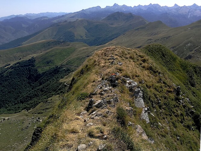
The last 30 meters on the ridge are exposed, as the path is a tiny meter wide, with huge slopes at both right and left sides. Luckily it wasn’t really dangerous today, but it looks difficult in case of fog or a windy day:
I walked carefully and soon was at the summit of Barazea, with a second minor summit further on and surrounded with neighbor high summits.
Mt. Barazea, activating on a narrow ridge
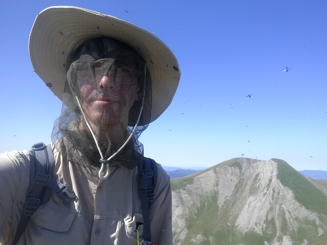
Right after taking a few pictures I was welcome by a infestation of nasty flying insects, doh!
I quickly put my head net on, I was glad I have carried this cheap and light accessory which would save my activation! Can you spot them flying around me?
I exit the summit and stepped a few meters back to try hiding myself from them. It took me a while to decide how to setup the antenna for HF. I had brought my short 14m wire EFHW and there was no way to put it up my fishpole on that narrow ridge, without any bush to tie the pole to!
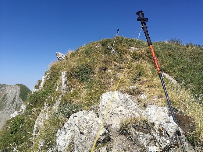
I decided the only way would be to extend the wire horizontal, at low height using my walking sticks and pray for it to suffice for a succesful activation.
My gear: MTR-3B rig + 3x18650 LiIon + earphones and CW paddle. I carried the MTR because of the long trek planned that day.
I had to seat between the rocks, not really comfortable, with my legs floating out the ridge over the mountain cliff, trying not to move much.
I must say that the antenna performed well even installed at that low height over ground. I ran in 14 MHz CW only and logged 20 QSO in 18 minutes, including a S2S with @SV2RUJ and a DX with @W2WC
The reports were okay but the band was a bit extrange with low incoming signals and some fading. I tried VHF as well but after some minutes I just logged a single QSO with Fernando, EA1AAP always scanning for a SOTA chase.
Cell coverage was rather poor all day long. I was unable to connect to any Spanish phone network and just had a rather intermitent connection via a French supplier. I was unable to see spots on the phone.
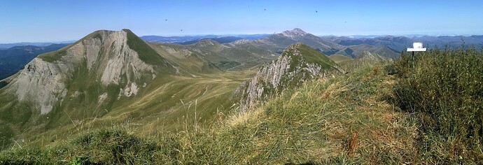
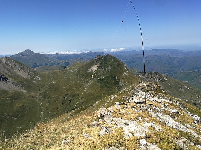
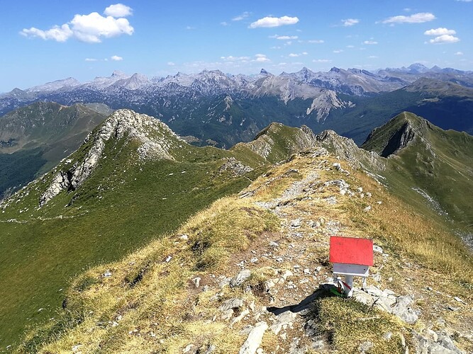
It was midday, I knew there was still a long way to go for the second summit and decided to pack and go. While dismatling the antenna I took a last picture of my operating position and the Pyrenees range at the end.
EA2/NV-004 Mt. Kartxela
It took me about 1h 45 minutes to get back and arrive in the second summit (1982 m.). It was quite exhausting to get back down, up back to the col of Binbaleta and head to the summit. The last part was again steep and I walked slowly feeling weak and stopping from time to time.
I finally arrived in the summit at around 12 h utc.
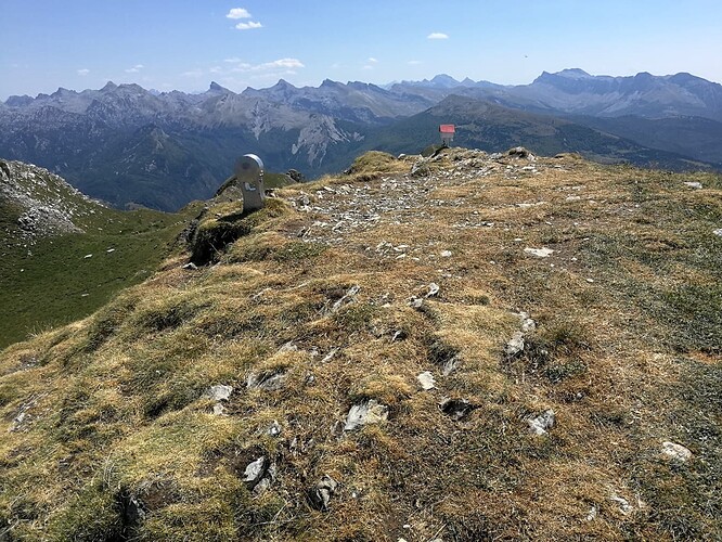
I had my lunch first to recover. I eat a tuna tin that was delicious and then installed my EFHW, this time on my fishpole as this summit is wide. In front of my antenna I saw Mt. Barazea again.
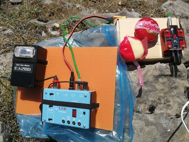
Just before starting I ate my desert, a nice cheese snack:
The activation went well. Again, I ran in 14 MHz CW logging 32 QSO in about half an hour, including S2S with @HB9CDH, @DL1CR, @M6GYU. I tried 7 MHz for some minutes but I just logged EA2DT, being the band quite closed.
I ran some minutes in VHF and logged 5 more, including Alain, @F5ODQ, who had the previous recorded activation of this summit, one year before.
Together with SOTA I also activated the POTA ES-0926, and used Ham2K portable logger in my smartphone to log the contacts.
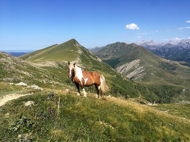
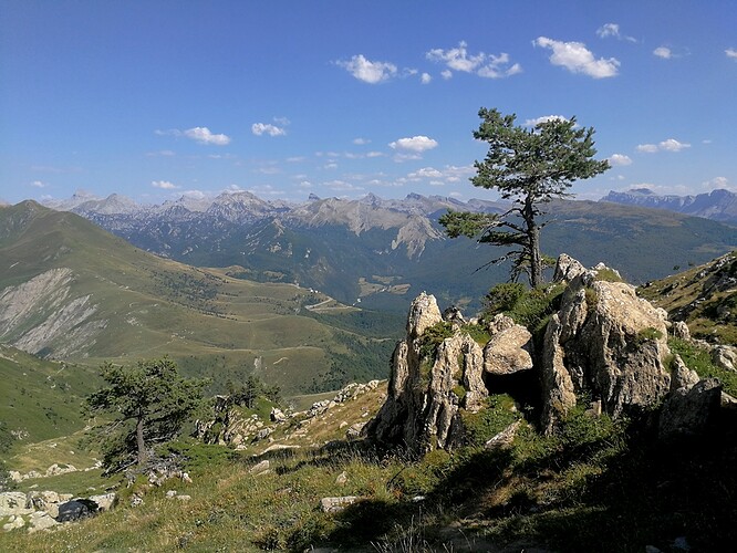
At 14:10 I left the summit starting the return. See some pictures of the way back.
It was 16:10 when I arrived in the car and still had to drive back home but was happy to have completed the trail without issues and having greet many friends on air.
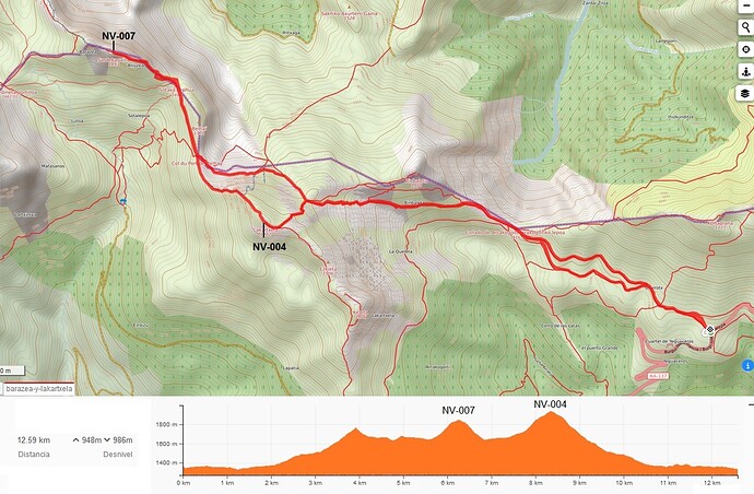
- Total trail length combined with Mt. Kartxela and return: 12,6 km
- Total cummulated height gain: 950 m
This is the trail of the day:
Thanks all chasers. Good bye Pyrenees. See you next year?
73 Ignacio
