Summit relocation - G/WB-022 Seager Hill

Looks like the Marilyn meddlers have been at it again.

The recognised highest point has moved about a km SE along the ridge line. The new point has a “massive” 20cm more prominence…
EDIT: I thought it was 40cm originally… now the difference is half that… whooop dee dooo.

http://www.hill-bagging.co.uk/search.php?qu=S&rf=2865,2866

From what I can tell the new high point is still well inside the AZ of the old one. So no new ref required.

One for the list updaters to review.

Annoyingly I’m going to need to go back to “re-complete” my English Marilyns even if I don’t need to do it for SOTA.

4 Likes

Thanks for this information Gerald. If SOTA change the location no worries for me about my completion of all England - according to the 1:25000 OS mapping I am looking at there is less than 25m drop from the trig point to the new location on Sheepcote Hill. So I won’t be going back.

73 Phil G4OBK

3 Likes

I can see there are two in the vicinity:

Seager Hill West Top @ 271.7m (Sheepcote Hill nearer the trig point)
Seager Hill @ 271.9m (south of Jones’s Coppice and seemingly the updated one?)

I activated the summit last week and there is some extensive tree clearing work going on at the moment. I left sufficient room at the gate for trucks to enter/leave the area, but it was the weekend, so no work was going on.

My third activation of the summit last week, not quite made it into my favourite Top 5 ‘G’ list yet despite the nice welcome signs put up when I first visited as I got ever closer to the field containing the Trig Point.

Or perhaps it was the presence of someone patrolling the trig point field perimeter - whilst carrying a rifle.

He was speaking into his mobile so did not notice me, giving me enough time to move away from the area - swiftly.

Ever since, the tune of Dualing Banjos from the movie Deliverance pops into my mind the moment I climb over the stile making my way up to the ridge.

73, Robert

6 Likes

That sounds rather unnerving! Perhaps an investment in some camouflage gear would be recommended for those wishing to activate this one? :thinking:

It is perfectly possible to activate this hill from a public right of way. The AZ includes a point on a public footpath less than 10 vertical metres below the summit height. Note the OS Explorer map below shows 5m contour intervals.

See picture
New summit location in red.
Potential activation point in blue.

It’s actually easier to do it now.

Just annoying for me as I need to go back to do the true summit for my Marilyn bagging, but not for SOTA. Although I probably will activate from the pubic footpath while I’m there.

4 Likes

Mighty people these meddlers. They may not be able to move Heaven and Earth but mountains are no problem.

73
Ron
VK3AFW

6 Likes

Thank you for bringing this to my attention. I will look into this and report my findings on here.

Jimmy M0HGY
G - Association Manager

2 Likes

This is fantastic news. Although the new summit is still on private land, legitimate access now gets you much closer to the summit than previously.

Funnily enough, the blue cross on Gerald’s image is exactly where I set up the last time I activated this one. It’s probably an obvious spot - it’s on a PROW, and in the AZ of both the old summit and the new one!

4 Likes

I have never seen anyone along the track between the two “X” marks, and I have usually activated from the track close to the “new” summit after ascending the PROW.
The recent tree clearance should improve VHF takeoff to the West, though the PROW immediately after leaving the roadside is currently a mess.

Rick

2 Likes

HI Robert

The old summit and trig point are in the upper part of Stoke Edith park, which is now mainly managed as a shooting estate. I have been there a couple of times on clay shoots (something I no longer have an interest in). There was once a large house there, which burned down in the 1920’s : Stoke Edith House - Wikipedia

Rick

2 Likes

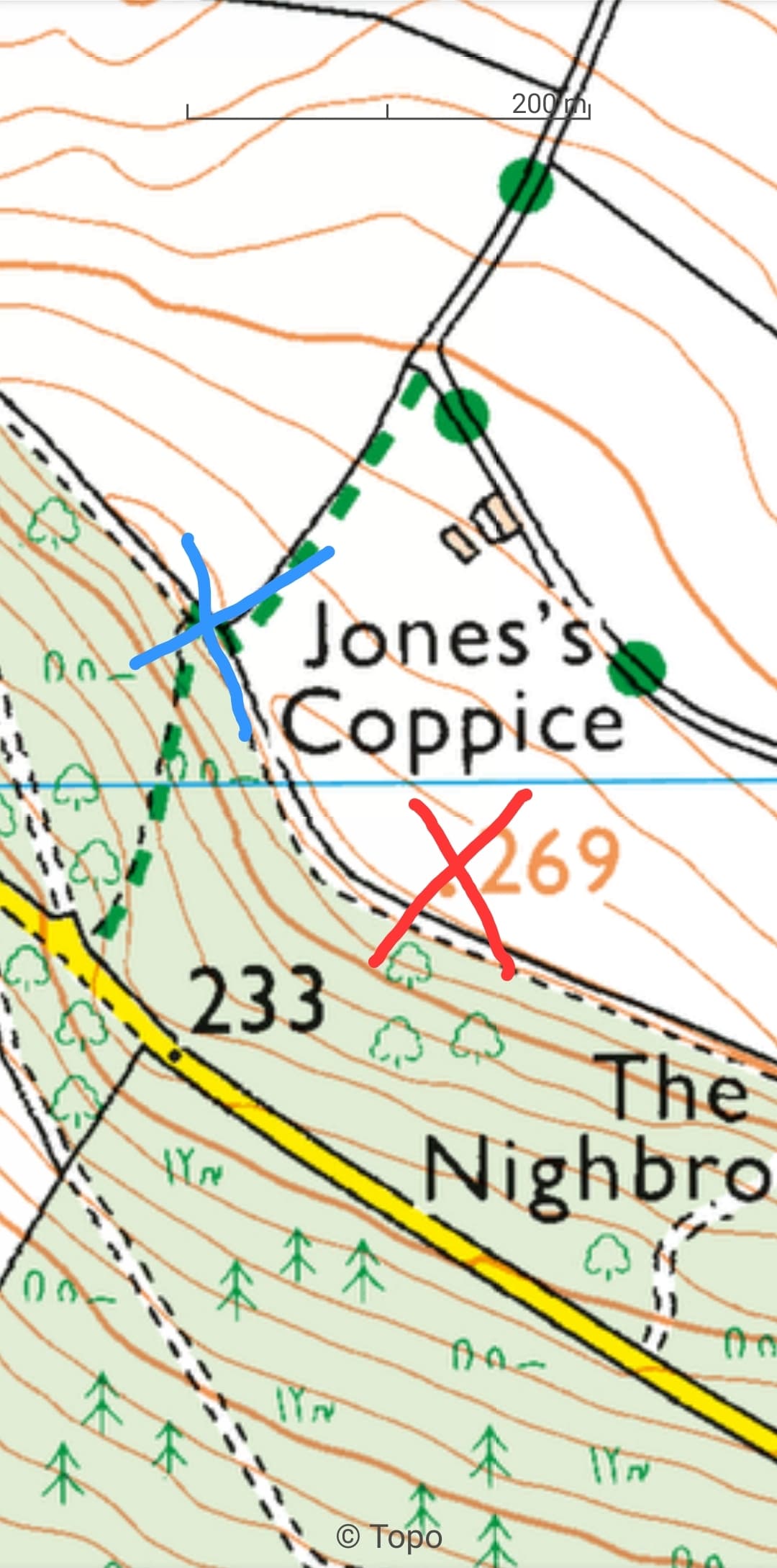
From looking into this, the summit location has changed for Seager Hill G/WB-022 and the good news it that it is more accessible than what the old summit was. Good news also is that the col between both the old and new summits is less than 25m below both summits, so no new SOTA reference required. I haven’t done my annual updates for the past couple of years as there hasn’t been any major changes, but now that this has been brought to my attention, I will soon do a G Association update to amend the grid reference and height for Seager Hill G/WB-022 and also check for any other G SOTA summit changes also and any other changes, I will mention on here also. Please see below post also from Alan Dawson on the RHB Reflector mentioning the Seager Hill G/WB-022 relocation and also the summit relocation of Hirfynydd GW/SW-017 which is similar relation to Seager Hill G/WB-022.

“Last weekend I was able to revisit Seager Hill near Hereford. Some of you have already noticed that the summit has been relocated in the Hills Database. Lidar data had indicated that the south-easterly summit was 14cm higher than the existing Marilyn summit location. That is within the margin for error for Lidar, so as I was down south for the first time in four years I took the opportunity to survey it with Leica GNSS equipment.

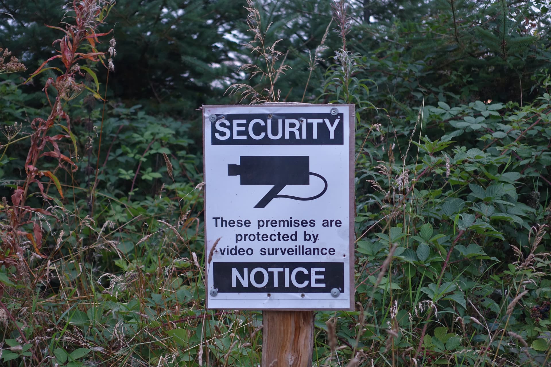
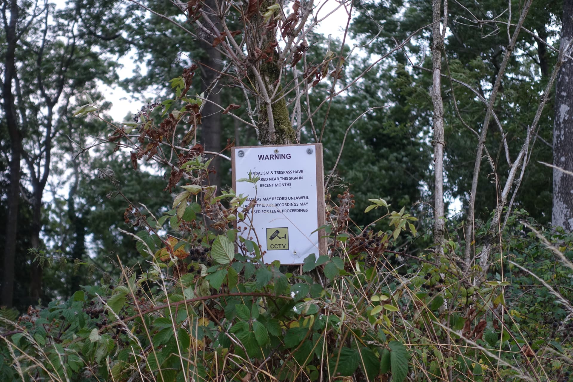
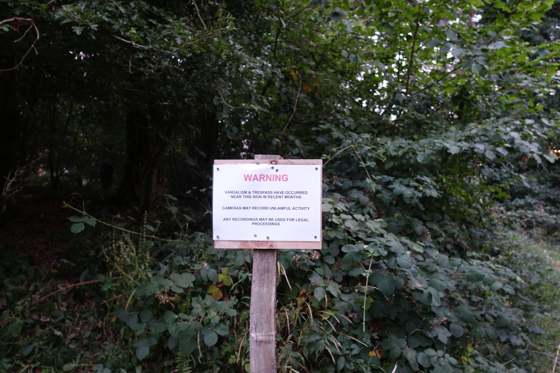
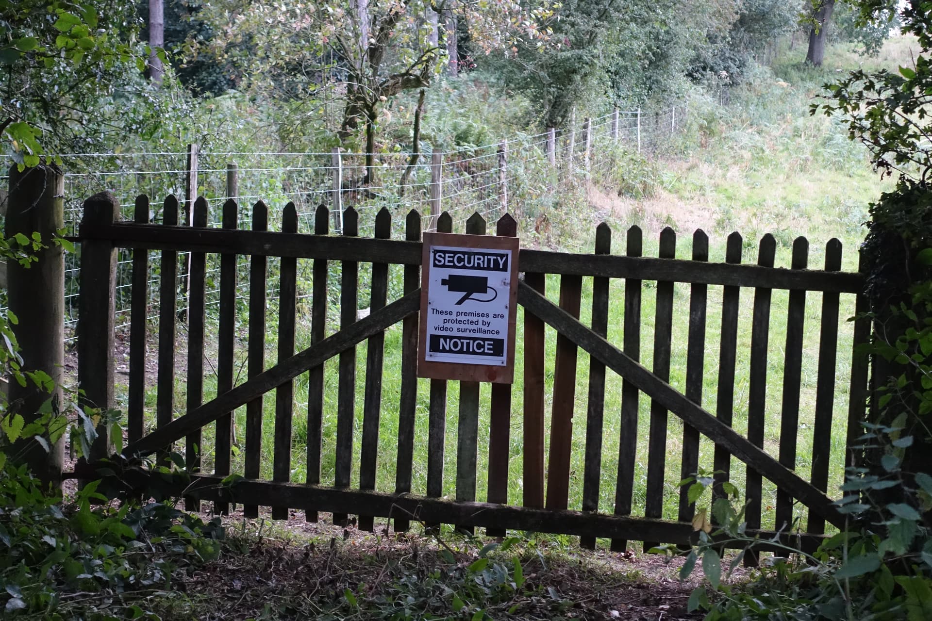
The survey found 15cm difference between the two points, confirming the Lidar difference with uncanny accuracy, though the actual height is over 10cm lower than the Lidar figure. The new summit is 271.9m at SO 6238 3794. The good news is that this is a much easier point to access. The summit is only about 300 metres from the road to the south, though I walked in along the right of way path from the east, where I was able to park by a disused gate a little way down the hill to the north of the path. No access problems, good path all the way and no hostile notices. The path along to the other summit was all right at first but became very overgrown in places, with gates to climb and threatening notices, though I saw no-one.

The bad news is that not all baggers have been to the new summit. It is not worth a long trip for an extra 15cm of height, but the two summits are about 1.5km apart with 21m drop between them, so they are distinct points, worth an easy walk to the new location for anyone who happens to be in that area.

I also revisited Hirfynydd at dusk on a Friday evening, along a good track from Seven Sisters to the old quarry and then steeply up slopes that are slowly revegetating. The trig is now tucked away beneath a tree and is over a metre lower than the new summit location. The relocated summit is somewhere in fairly thick new trees over 200 metres away. I was able to get within 60 metres of it on a track to the north but after that I got well and truly needled. Old jacket with intact hood did the job but it was not pleasant. It may be possible to get a bit nearer before plunging into the thick trees. No-one loses one from their total due to the relocation, but anyone going back may wish to take a sharp implement of some sort to ease their passage. A lopper or shears would do rather than a saw at this stage of growth.

You win some, you lose some, all part of the game.

Alan”

Jimmy M0HGY
G - Association Manager

2 Likes

Looks like the “updaters” are on the ball, and it shouldn’t be too long before the summit details are updated in the database.

Oh dear me, I wish the same could be said for the DL/BE region! After finding 2 or 3 discrepancies last year in the database list of positions of summits in this region - I’d activated a few of them - I conducted a “survey” of all the summits in the region, plus a couple in DL/MF, by comparing them to the positions given by an official German online map (BayernAtlas), and found some fairly egregious examples, the worst of which was DL/BE-073, listed as over 1/3 kilometer away from, and some 60m lower than the actual summit.

I made up a spreadsheet with all the “bad ones” (over 30 of them) and let the “updaters” know about them. That was exactly one year ago. After not having heard from anybody about these bad positions (average ~100 meters off), I posted the spreadsheet as a table here in the Reflector on March 13th this year (4 1/2 months ago) … and again nothing was done. Then I posted a little later a link to that Reflector message table, in another Reflector thread. Again, nothing was done to correct the bad positions, even though it was acknowledged by “the updaters” that, yes, the database positions for those summits were … bad. Here’s that table again for reference:

Summit Code Summit Name SOTA Database Bayern-Atlas Comments
Latitude Longitude Latitude Longitude
DL/BE-076 Schindelberg 47.578899 11.5203 47.57817 11.52206 SOTA position ~150 meters WNW of true position
DL/BE-083 Spitzberg 47.572201 11.4592 47.57142 11.45812 SOTA position ~120 meters ENE of true position
DL/BE-048 Risser Hochkopf 47.563599 11.4211 47.56294 11.42022 SOTA position ~110 meters NE of true position
DL/BE-066 Mitterberg 47.564400 11.3997 47.56290 11.40005 SOTA position ~105 meters NNW of true position
DL/BE-092 Niederskopf 47.576698 11.5033 47.57693 11.50328 SOTA position ~50 meters S of true position
DL/BE-022 Hoher Zwiesler 47.601700 11.5408 47.60070 11.53999 SOTA position ~125 meters NW of true position
DL/BE-028 Brandkopf 47.613300 11.5239 47.61255 11.52324 SOTA position ~85 meters NW of true position
DL/BE-064 Lettnerberg 47.621399 11.5425 47.62011 11.54188 SOTA position ~165 meters NW of true position
DL/BE-044 Hahnberg 47.634201 11.4919 47.63346 11.49081 SOTA position ~120 meters NW of true position
DL/BE-063 Latschenkopf (2) 47.631901 11.4647 47.63105 11.46388 SOTA position ~110 meters NNE of true position
DL/BE-050 Jochberg 47.626701 11.3725 47.62596 11.37184 SOTA position ~110 meters NNE of true position
DL/BE-019 Hirschhoernlkopf 47.627800 11.4069 47.62750 11.40629 SOTA position ~55 meters ENE of true position
DL/BE-013 Latschenkopf (1) 47.656399 11.4986 47.65652 11.49891 SOTA position ~45 meters SW of true position
DL/BE-015 Achselköpfe 47.653301 11.4856 47.65296 11.48652 SOTA position ~55 meters WNW of true position
DL/BE-016 Benediktenwand 47.653099 11.4653 47.65316 11.46560 SOTA position ~20 meters WSW of true position
DL/BE-017 Glaswand 47.653900 11.4375 47.65287 11.43649 SOTA position ~135 meters NE of true position
DL/BE-018 Rabenkopf 47.651100 11.4133 47.65040 11.41220 SOTA position ~125 meters NE of true position
DL/BE-049 Hochtannenkopf 47.701401 11.4967 47.70070 11.49566 SOTA position ~100 meters ENE of true position
DL/BE-032 Buchenauer Kopf 47.693100 11.4669 47.69314 11.46680 SOTA position ~20 meters SW of true position
DL/BE-003 Zwieselberg 47.724701 11.4894 47.72357 11.48842 SOTA position ~145 meters NE of true position
DL/BE-091 Zwoelferkoepfl 47.583900 11.4297 47.58411 11.43170 SOTA position ~145 meters WSW of true position
DL/BE-020 Altlacher Hochkopf 47.555302 11.3581 47.55441 11.35707 SOTA position ~145 meters NE of true position
DL/BE-073 Rotwand 47.599998 11.5033 47.599300 11.5081 SOTA position ~370 meters WNW of true position
DL/MF-105 Leonhardstein 47.638100 11.7156 47.63697 11.71605 SOTA position ~120 meters N of true position
DL/MF-025 Setzberg 47.651699 11.7833 47.65124 11.78456 SOTA position ~110 meters WNW of true position
DL/MF-057 Hochmiesing 47.657799 11.9397 47.65785 11.94130 SOTA position ~130 meters W of true position
DL/MF-056 Auerspitz 47.643600 11.9447 47.64386 11.94530 SOTA position ~50 meters WSW of true position

Checked a few of the worst offenders them again just now - nothing has been changed, nothing has been corrected, the database positions are still as bad as they ever were, one whole year later. I swear by all that is holy, that if I had ever been in charge of the data, and had noticed the bad positions, or had the bad positions pointed out to me, they would all have been checked, double-checked, and altered within one day. I would personally not have been able to go to sleep at night with the shame of having bad data under my control. It takes all sorts, I suppose…

Looking forward to having my face pushed into the mud by the MT as happened last time I had the bald effrontery to try to tell them their job,

Rob

1 Like

I wasn’t aware that being on the MT was a “job” with specific service level obligations. I rather thought we had a team of volunteers who generously gave their time when they were able?

2 Likes

Of course it’s a job - just not paid. And “giving their time generously” is certainly to be lauded, but it seems not to be always correlated one-to-one with actually getting the job done, with obvious exceptions.


1 Like

Well done, Richard - take a medal from the drawer. You’ve earned it.

He’s on the phone to the MT letting them know if you stray outside the AZ.

5 Likes

Off topic, but one of those ramblings permitted to old codgers …

The Stoke Edith estate was one of the holdings of the Foley family who originally made their money in the iron founding and nail making industry in the Midlands. Most notably in the Stourbridge area, where I have connections having gone to school there (and had a number of excellent visits to the Foley Arms)

Rick

1 Like

Rick,

It’s not a real reflector post unless it’s gone off-topic. :wink:

–Robert

6 Likes

True words! :laughing:

1 Like