Maybe not the right area but anyone else getting this

when loadintg SOTLAS ?
cheers
John
Maybe not the right area but anyone else getting this
when loadintg SOTLAS ?
cheers
John
Yes, me too.
Andy
MM7MOX
Have you told Manuel?
Ah, I see – it occurs for summits where there is no AZ data available for downloading as GPX (new feature). Should be fixed in a few minutes. Thanks for the report!
Thanks.
Thanks for the continuous work Manuel.
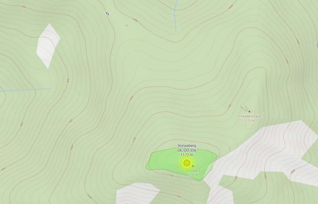
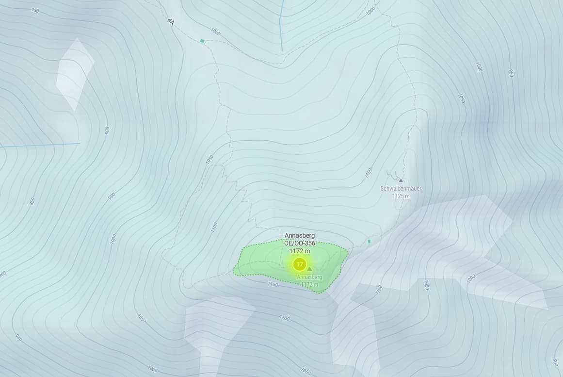
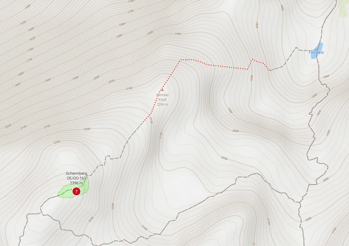
Any chance to get the T1-T6 trail ratings back in Austria? Thanks
And some hiking trails are missing in the summer version of the new Outdoor map tile
![]()
set:
The winter version has them very vaguely in:
Thank you for the prompt fix and the excellent resource that SOTLAS is.
I continue to marvel at the level of support for the SOTA environment and participants.
Andy
MM7MOX
Thanks for fixing the issue.
cheers
john
I wasn’t aware that those were missing, and it’s really strange, as Austria seems to be the only country where this is the case, even though the sac_scale tag is available in OSM for trails in Austria. I have just opened a ticket with MapTiler support.
Background info: This week I have switched SOTLAS from using self-hosted map tiles based on OpenMapTiles, to using MapTiler Cloud. One of the reasons is that the previous self-hosting license model is no longer available, and the other reason is that I don’t want the burden of running map servers and generating map tiles myself anymore. It also turns out not to be more expensive than the self-hosted solution, and probably faster for users, as MapTiler has servers on all continents, rather than just one location in the EU and one in the US as before with my servers.
This has been a rather large change in the background, requiring two full days of work from my side. On the upside, some long overdue component updates have been made, and the new map style looks better in my opinion. But as this post (and some feedback that I have received directly) shows, the ready-made MapTiler Outdoor map style is not a perfect fit for SOTA purposes, and I’ve already made some adjustments to it.
This is probably related to the trail rating problem above (same dataset). Hopefully MapTiler will resolve that as well. In the meantime, I have also included the “unrated” paths, which are in another dataset – at the (mostly cosmetic) disadvantage of showing two identical trails superimposed on each other in other countries.
Thanks for the tech update and your time in making it available for free to the SOTA community
![]()
The smaller trails / hunters trails are now visible again. Thanks a lot!
Looking forward to future improvements.
Some of the roads in Scotland are in the wrong colour. Main roads should be yellow I think and they are white which suggests a minor road. This includes the main West Coast road up to Fort William and Scotland’s main road North, the A9. The result is the map looks so wrong at all kinds of zooms and that grabs your attention to such an extent that you miss other changes/improvements.
I’m sure it’s just style things which can be tweaked. It reminds me of changes to Freizeitkarte maps I use on Android Orux and GPXsee. Those maps were updated and it took some effort to get new mapstyle files so the improved maps looked right. So I think it’s just tweaks to the style that are needed.
In Spain we miss the secondary roads in thick white and their difference with the simple roads in fine white. Apart from the two-way wallets in yellow. This was an interesting option for me to access near some easy peaks. For me it was an extraordinary way to find peaks on improvised trips.
Anyway thanks for all your hard work.
I’ve just made some tweaks to the road colors.
When I adapted the MapTiler Outdoor stylesheet for SOTLAS, I focused on hiking trails and summits. Turns out that the roads are just as important to the SOTA activator ![]()
Wow! And wow again! Manuel that is a stunning improvement. Seriously that change means the map of the UK looks right and at once I can zoom out and move around the view and know where I am. Because the old view didn’t look correct it drew all the attention and meant all of the other improvements and all the work you put in was masked. Thank you for listening and responding so quickly. Have some ![]()
Tell me when I get annoying ![]()
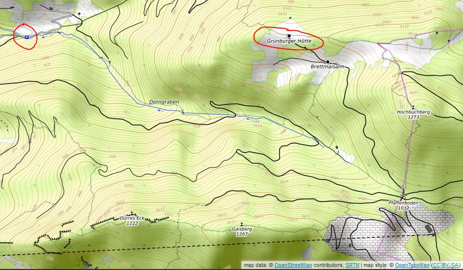
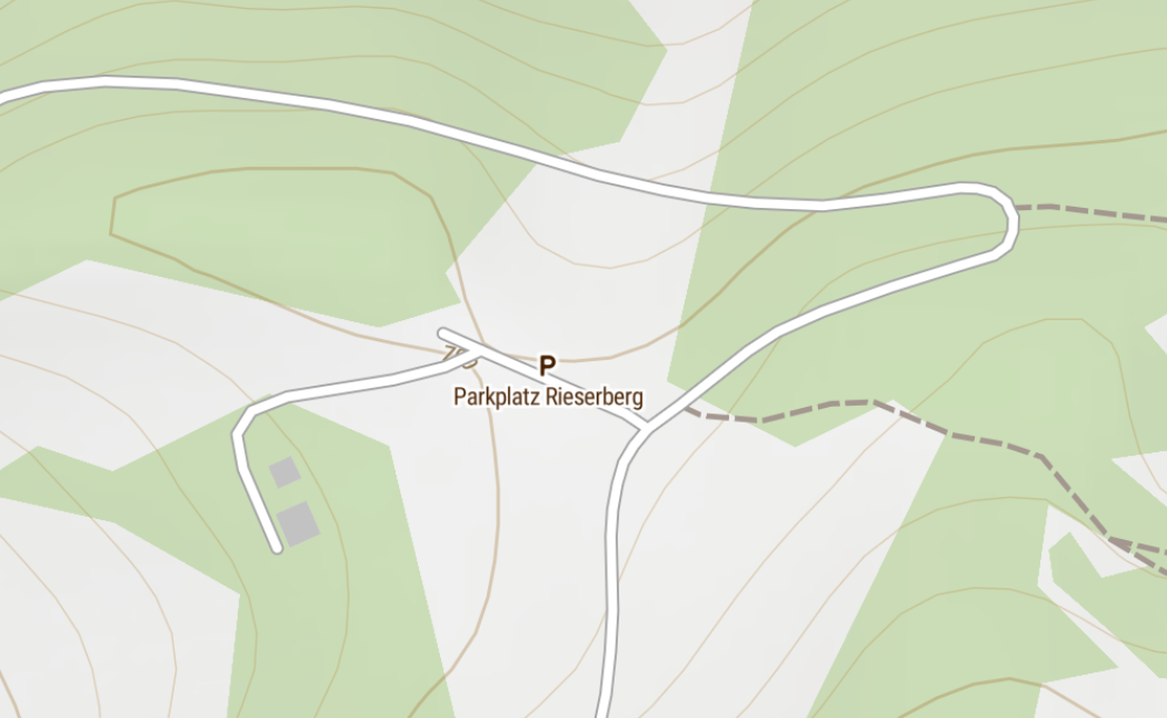
Like seen on OSM and OpenTopoMap the Parking symbol might be usefull. As lower zoom levels just like bus stop or signpost.
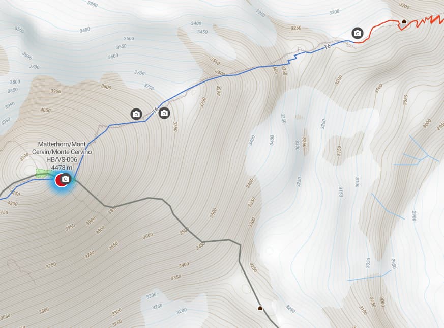
And in OE the huts don’t show a “house” icon like they do in HB9. On MapTiler they show up with the “bed” symbol - and only at the high(er) zoom levels
OpenTopoMap
But what’s great now is that via-ferratas are shown on the maps as red-white dashed lines ![]()
![]()
It’s there, but only in zoom levels 16 or higher. Unfortunately that is not something I can influence in the stylesheet, as it is down to the way the dataset is compiled/filtered from OSM data by MapTiler.
I was able to change the icon by adding an additional match clause in the stylesheet for subclass “alpine_hut”. Nothing I can do about the zoom level here either.
Thanks Manuel,
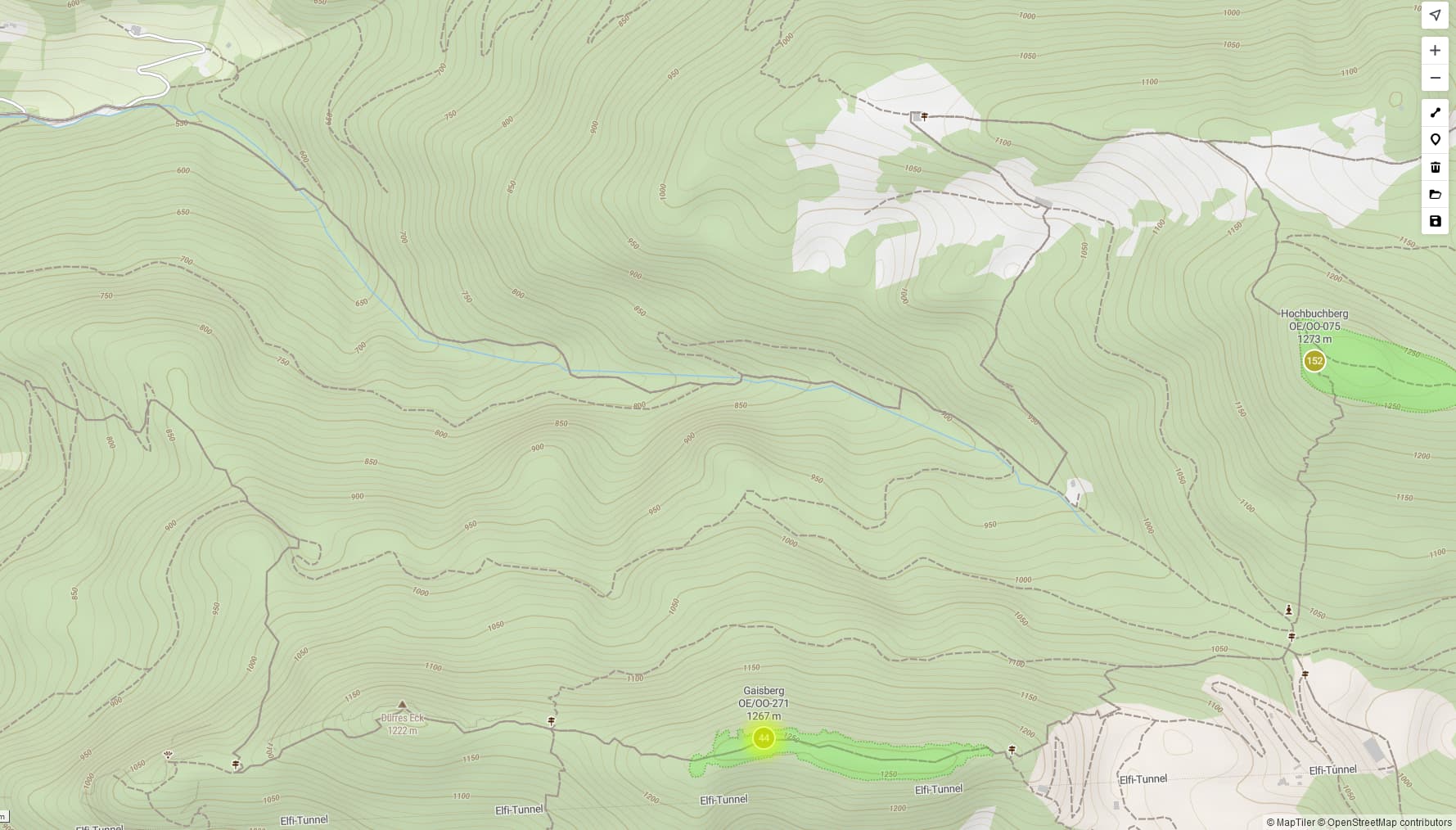
How are the hut in HB9 classified?
Looking at Hörnlihütte e.g. is visible at low zoom levels already:
That one has “rank=1” whereas the Grünburger Hütte has “rank=3”. I suspect this influences which zoom levels they are are included in. Other than that, the fields are the same.
Okay I understand. Not sure what the rank means. I guess it is related to the type of accomodation? Hotel, Guesthouse, Hut ?
Not sure if Maptiler offers something like that but is there a way to show a legend like it is common on paper maps?
To show e.g. that red-white dashed is a via-ferrata?