I assume it’s a ranking of “importantness” or “size” of some sorts. Not sure where the data comes from.
I guess that would have to be created manually. There is a component that tries to automate this based on the layers in the stylesheet, but it’s more geared towards toggling layers and looks quite technical and probably confusing to the end user (@watergis/maplibre-gl-legend - npm).
If anybody has experience with MapBox/MapLibre (especially stylesheets) and wants to help with map styling and associated tasks, let me know.
And now I’ll go spend some time on other things than maps
I took a bit of time looking at the Openstreetmap data - which I guess is also the basis for MapTiler. And I could not find any differences between OE and HB9 regarding the path metadata.
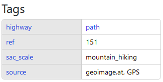
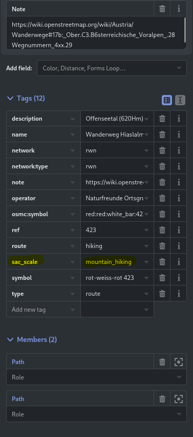
The important TAG sac_scale is set (in combination with ‘highway’ = path )
My guess is that MapTiler merged OSM hiking trail data with some other (national?) data source for OE, and in the process, the sac_scale tags from OSM got lost.
Hi Manuel, first thanks again for the superb resource that is SOTLAS. I noticed a possible bug checking the link to GI/AH-010. It opens the page from the Database, but when I clicked the link to the access report, I could not read the actual content of the report; it just shows the heading. The link does work correctly when accessing the summit information direct through the Database. I’m using an iPad on the latest software if that makes a difference.
Sorry to bring it up again.
Only because someone in the OE SOTA Signal group was asking why it does not work in OE…
I guess no news from Maptiler in that regard?
Sorry Manuel to be annoying again but did the MapTiler folks have any news? OE is still the only (one of the) country without SAC marked tracks.
Any chance to get this fix/working anytime (soon)?
EDIT: I did some further investigations. I tried to find differences on the view routes that were shown correctly versus the non- SAC/Hiking difficulty coloured one. No success.
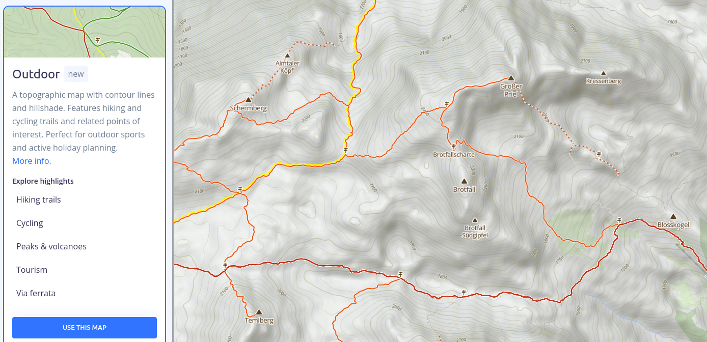
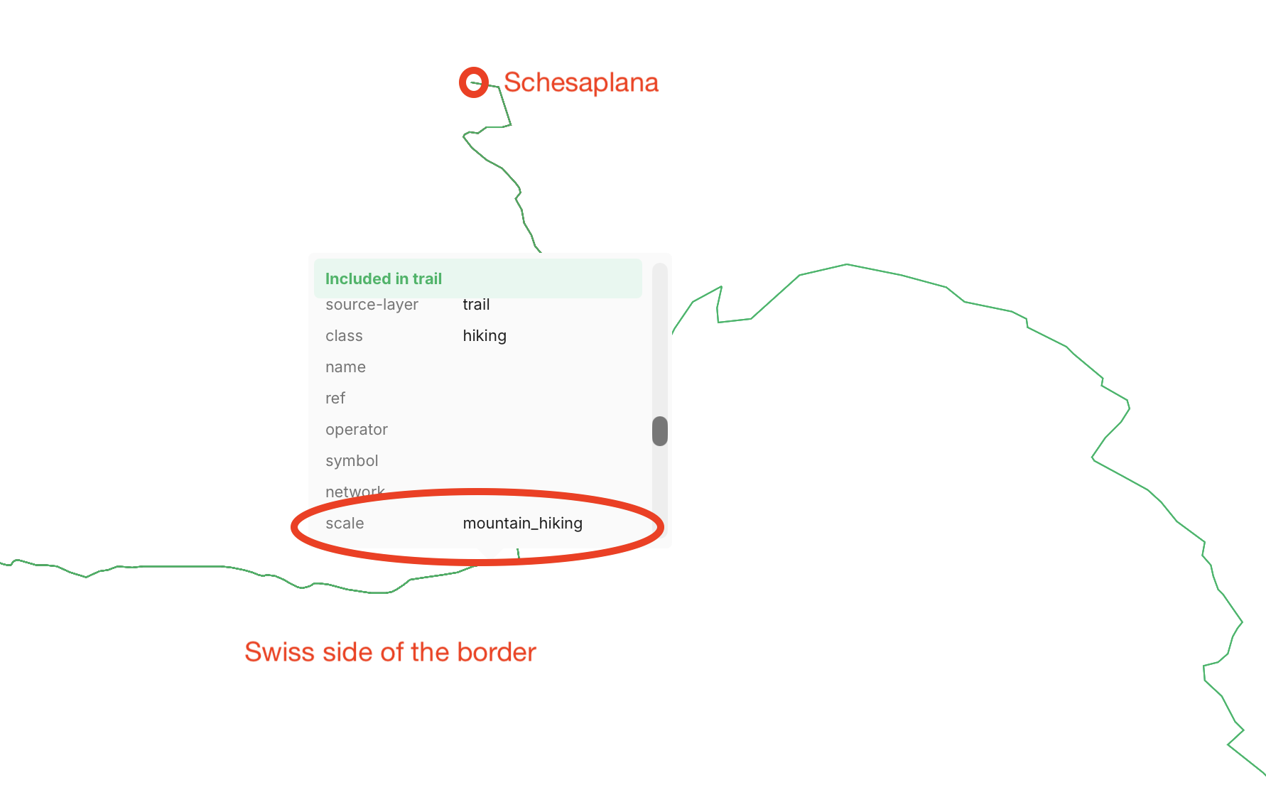
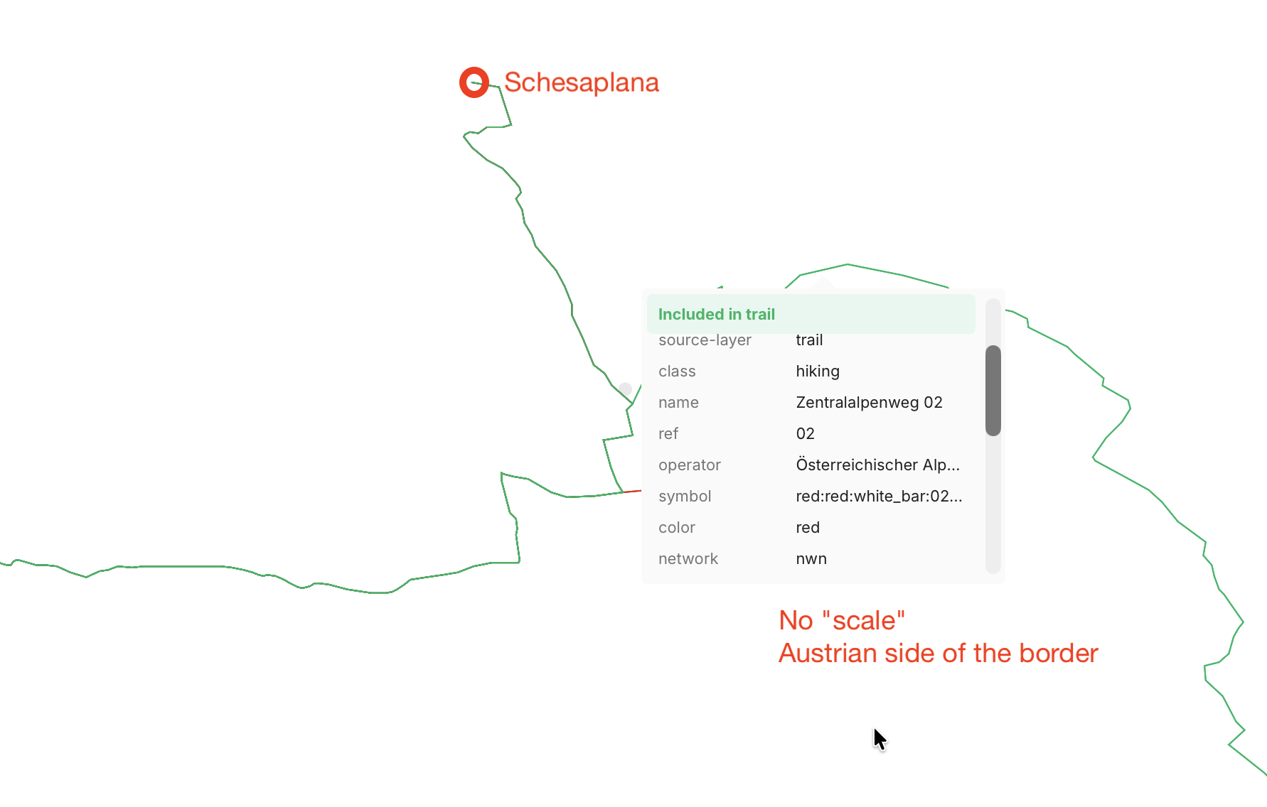
It is still the same issue as two years ago. The “scale” field is missing on trails in Austria. The colors that you see on their demo page follow some arbitrary mapping determined by MapTiler (i.e. there is a “color” field with values like “red” etc., but that does not correspond directly to the sac_scale value), so it is not useful for our purposes when we want to determine whether a trail is T1…T6.
I have created a new ticket with MapTiler support. Let’s see what happens…
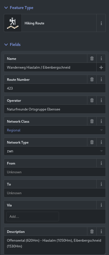
I was looking at that and in Austria not the Hiking trails have the rating but the individual segments.
So the “path” elements in OpenStreetMap have them. With makes sense as e.g. The Zentralalpenweg with hundrets of kilometers can not have one single rating.
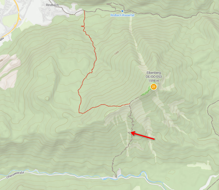
I have an example were the SAC rating is working on SOTL.as
The path marked with the red arrow also has a SAC rating (like the one working approaching from the north-west to the Eibenberg) in the hiking trail (on OSM) but is not colour coded). So something is not consistent.
So as you said the scale is not imported correctly. Other maps providers (e.g. OpenAndroidmaps) manage to get the “Hiking Difficulty” as it is called now in OSM correctly.
But thanks for following in up again Manuel!
73 Joe

 thanks for all the work. Enjoy the day!