Mealisval GM/SI-047
Cracaval GM/SI-064
Tahaval GM/SI-062
Sunday 16th April 2023
I finished work at 1330 (all times BST), hit the road north and by 1630 I was sitting in Ullapool, nice and early for the 1830 ferry to Stornoway, on the island of Lewis. Soon enough the M.V. Loch Seaforth came in to view, a relief given the ships breakdown earlier in the week.
We set sail at the scheduled time of 1830. The fish and chips from the restaurant were excellent, but couldn’t rival the stern view as we glided up a still Loch Broom.
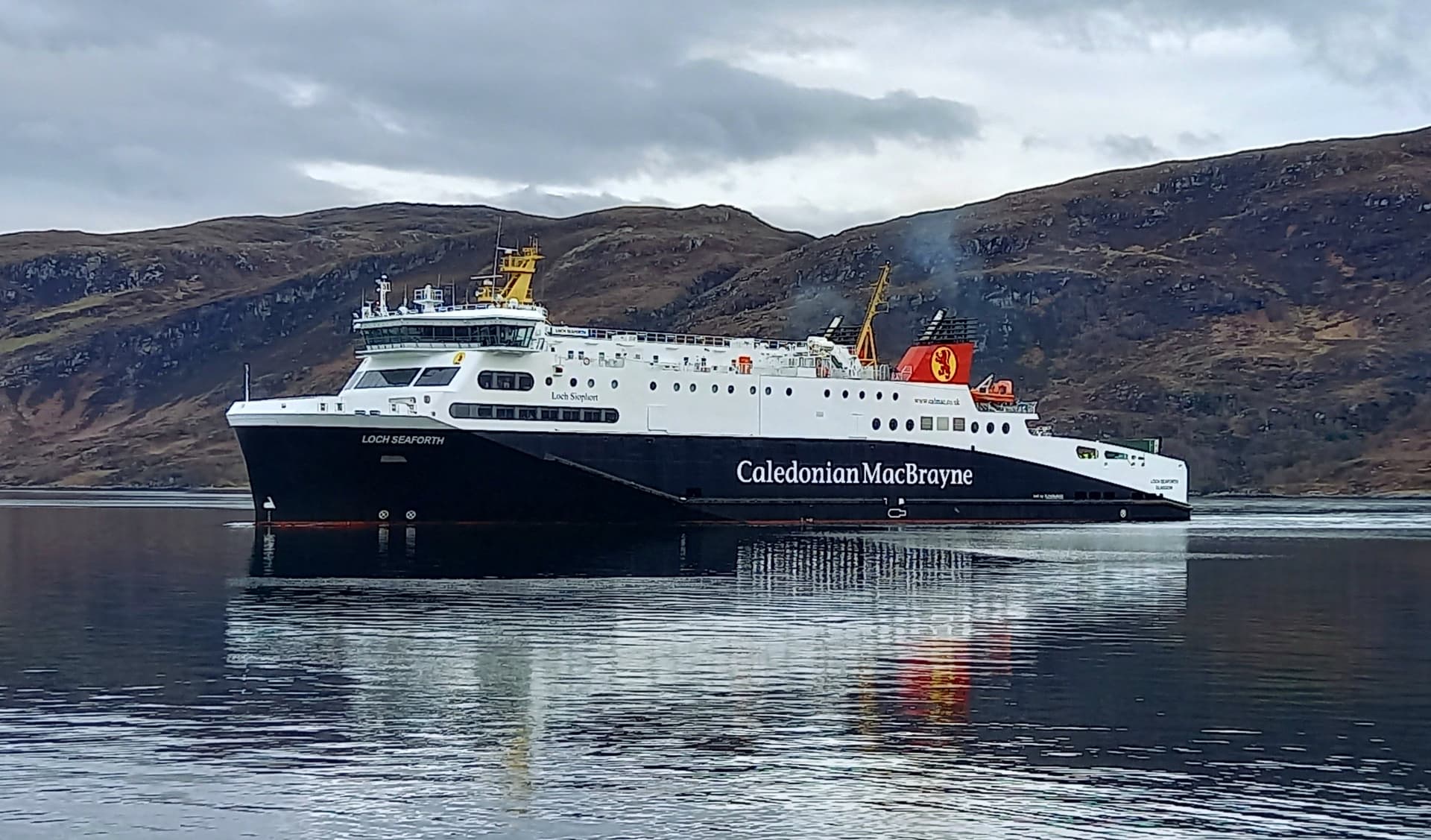
The MV Loch Seaforth approaching Ullapool
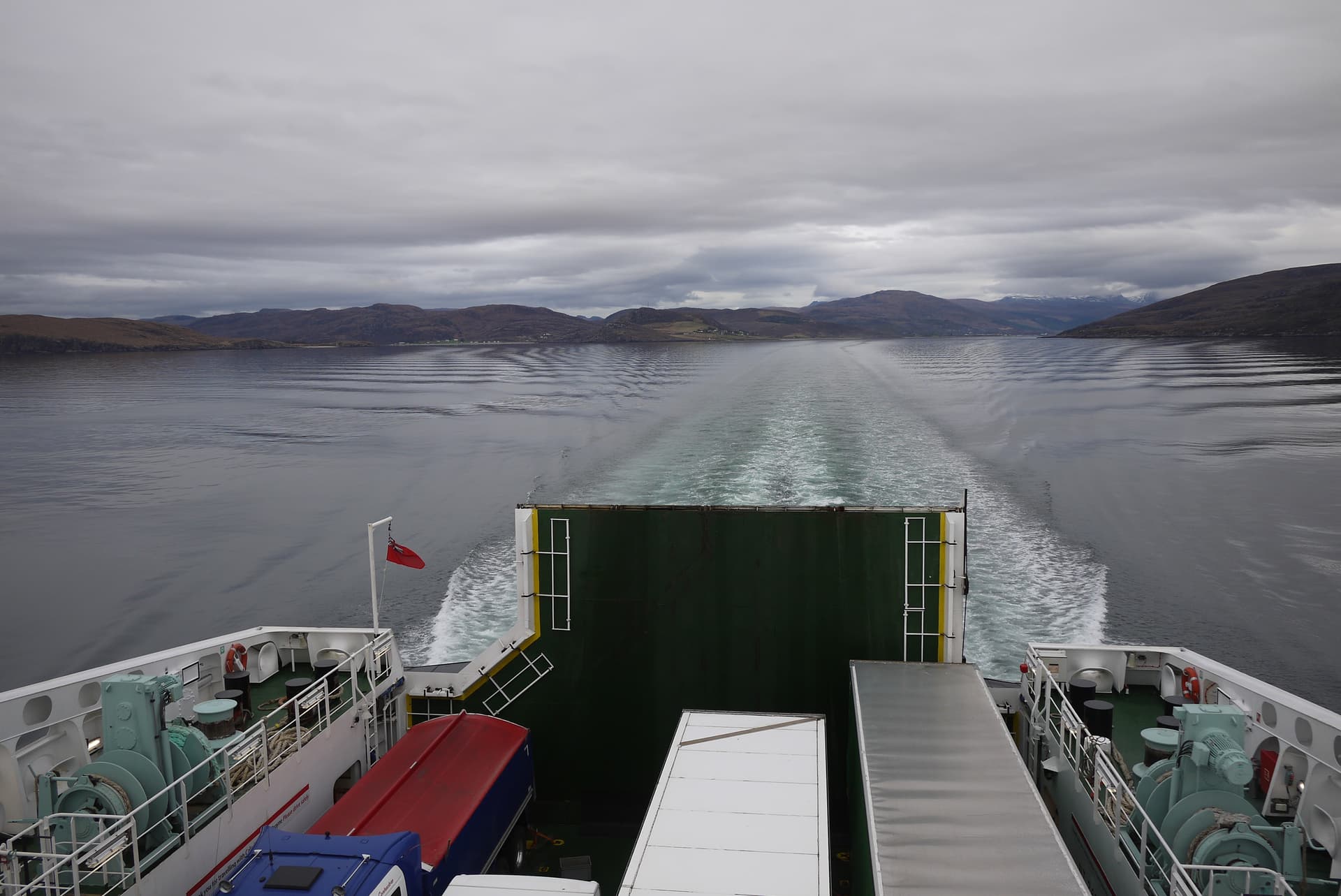
gliding out of Loch Broom
At 2110, I eased the car down the internal deck ramp and drove into the darkening streets of Stornoway, the main town on the island. An hours drive on a mixture of dual and single track roads saw me at my stopping point, some 30 miles to the west, over on the other side of the island. I parked in a spot I’d seen on Google maps, just 100 m short of the track I’d be using tomorrow. It’s just an entrance to an old quarry, however there is room for a car or two. NB 031 313.
It was 2215, completely dark and there was a stiff westerly pushing against the side of the car. Oh, no phone signal what so ever at this point, so I pinged Mo a message on my Garmin GPS 66i InReach to let her know I’d arrived. I had the choice of putting the tent up or using the bivi bag, so I decided to sleep in the car! I couldn’t be bothered getting out in the dark and wind. What followed was an awesome night’s sleep, reclined on the passenger seat of the Polo Gti with my sleeping bag thrown over me.
Monday 17th April
The alarm was set for 0700 but I woke at 0630. Daylight, grey skies, with cloud obscuring the summits and still that pesky wind. By 0700 I was up and about, first pulling the bike out of the car and then making tea and porridge. A sticky bun that Mo had packed for me was also consumed, although I don’t think she intended it for my breakfast.
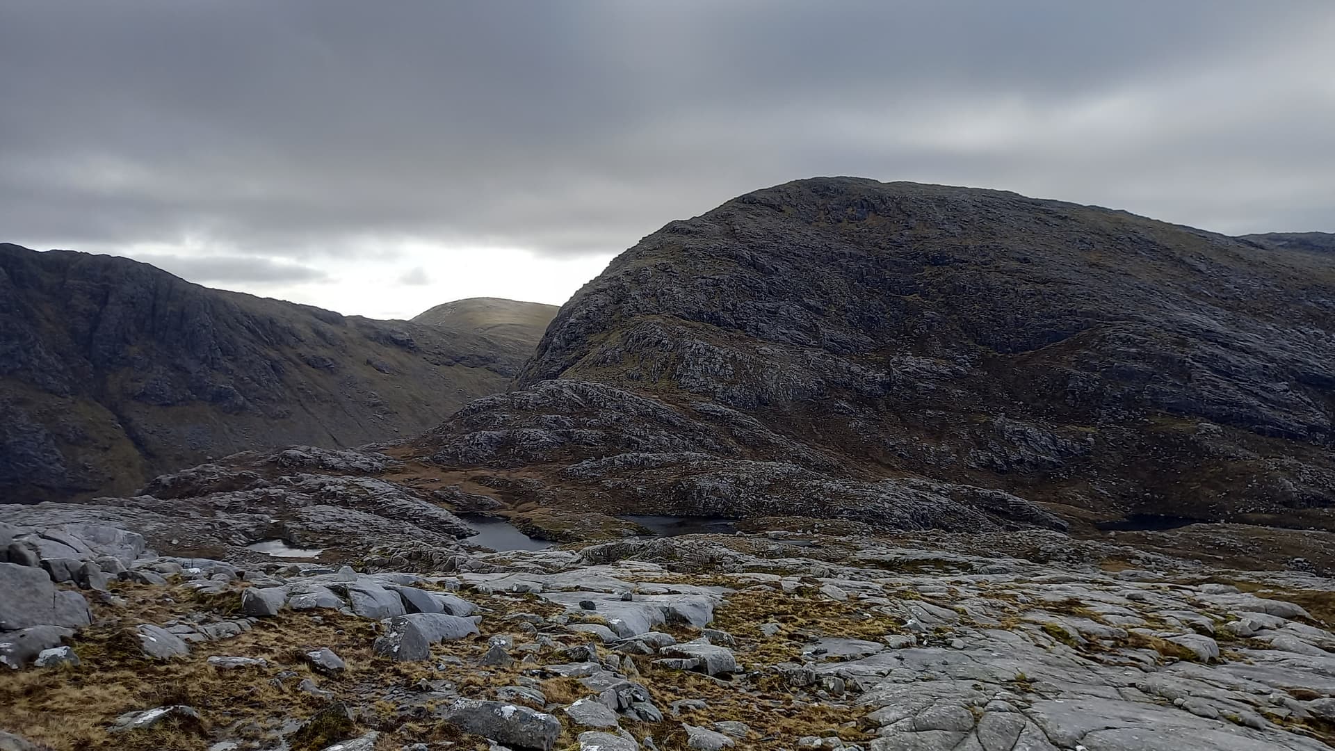
0800 and I was away, cycling up the road for just 100 m and then turning left along a well made Land Rover track, heading generally south, undulating and sometimes meandering, but always into the wind, which seemed to be a southerly now. Half an hour later, just at the northern end of Loch Reonasgail, I ditched the bike in the heather, staring at the imposing north face of Mealaisbhal GM/SI-047 and wondering just how the hell I was going to climb it!
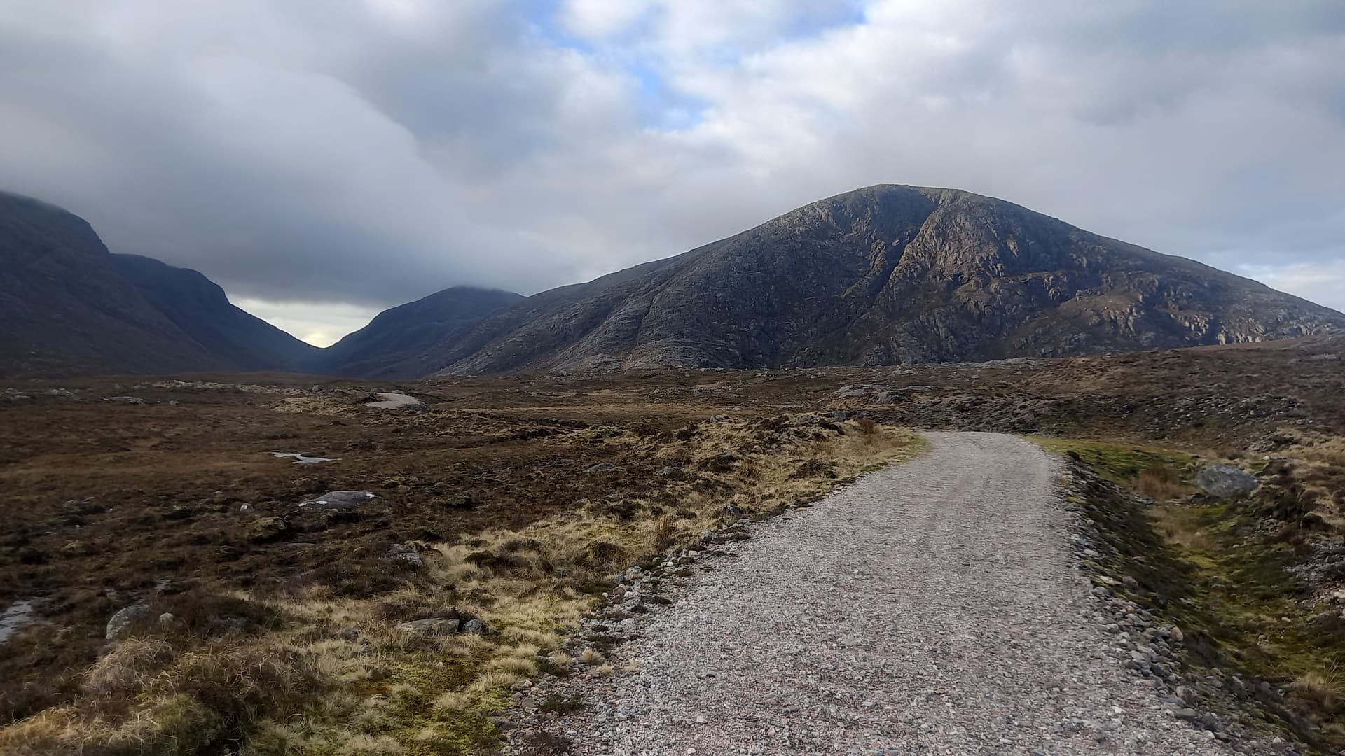
the ride in
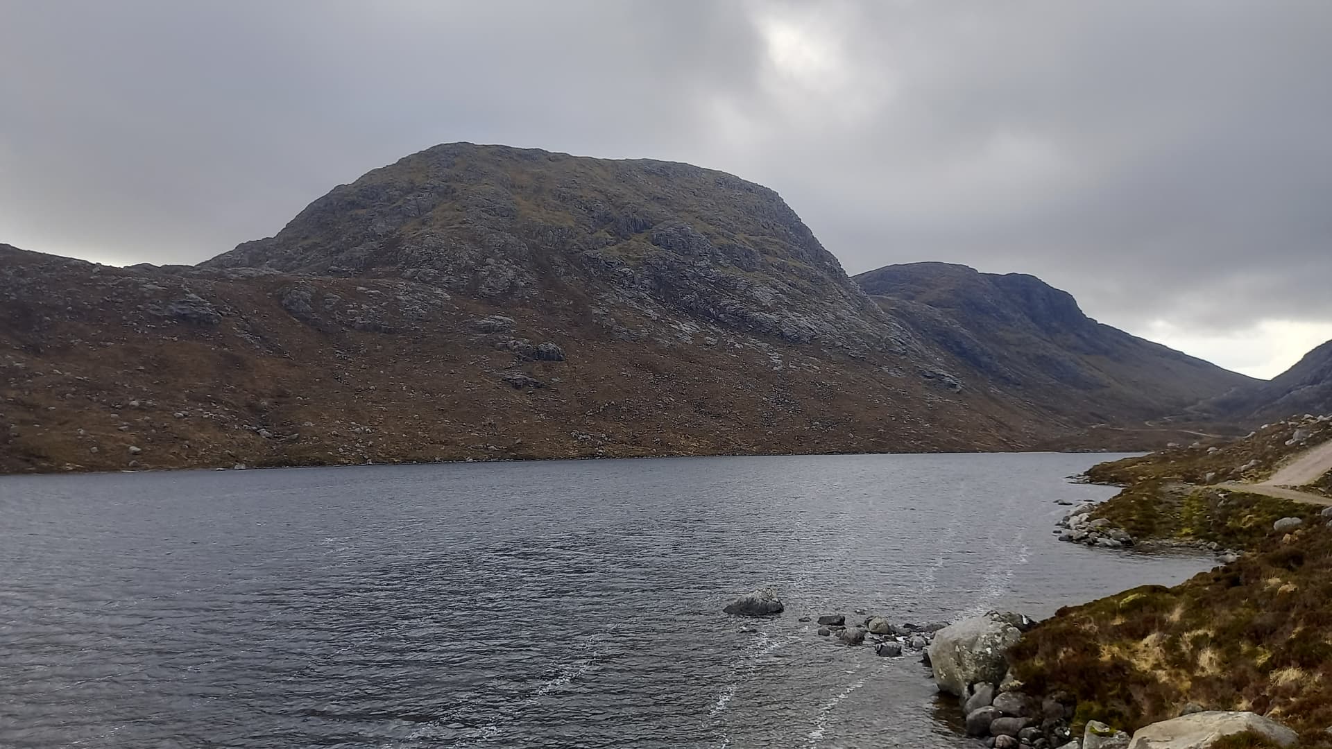
Un-activated (at this point) Tahaval GM/ES-062, from the loch side
Mealaisbhal 545 m GM/SI-047
I wandered south down the track for a bit, always staring up to my right. In a short while I saw a line and headed off due west and started my ascent. I’d allowed two hours for this 2 km in my route plan, as yes, it was a bit steep. I soon learned not to trust any grass or moss that wasn’t perfectly level. Anything else resulted in a slip. Thankfully the rock was dry and grippy, and height was soon gained. My legs were like lead though and I didn’t see me completing the three summits. I suspect it was a mixture of having the wrong muscles warmed up from cycling and the fact that I’m a softie from the Cairngorms who isn’t used to steep ground.

on the ascent, looking back north
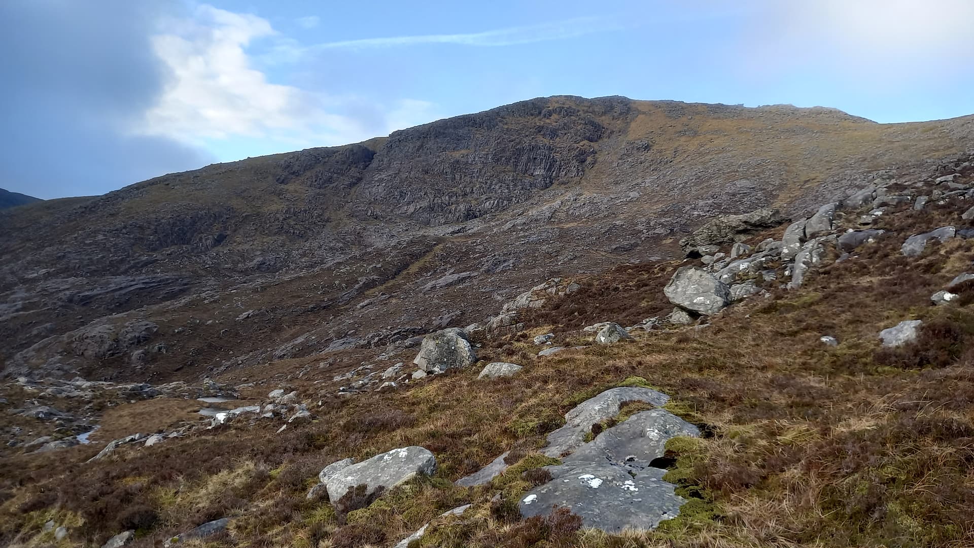
looking across to the summit of Mealaisbhal
The angle eased and I followed a broad bouldery ridge round to a col, where I got my first glimpse of the wild Atlantic coast of Lewis. Light cloud still hugged the summit of Mealaisbhal. Steep grass and small rocky steps led up to the summit, which turned out to be a spine of jumbled blocks. The wind stiffened. However, the cloud lifted and the views opened up.
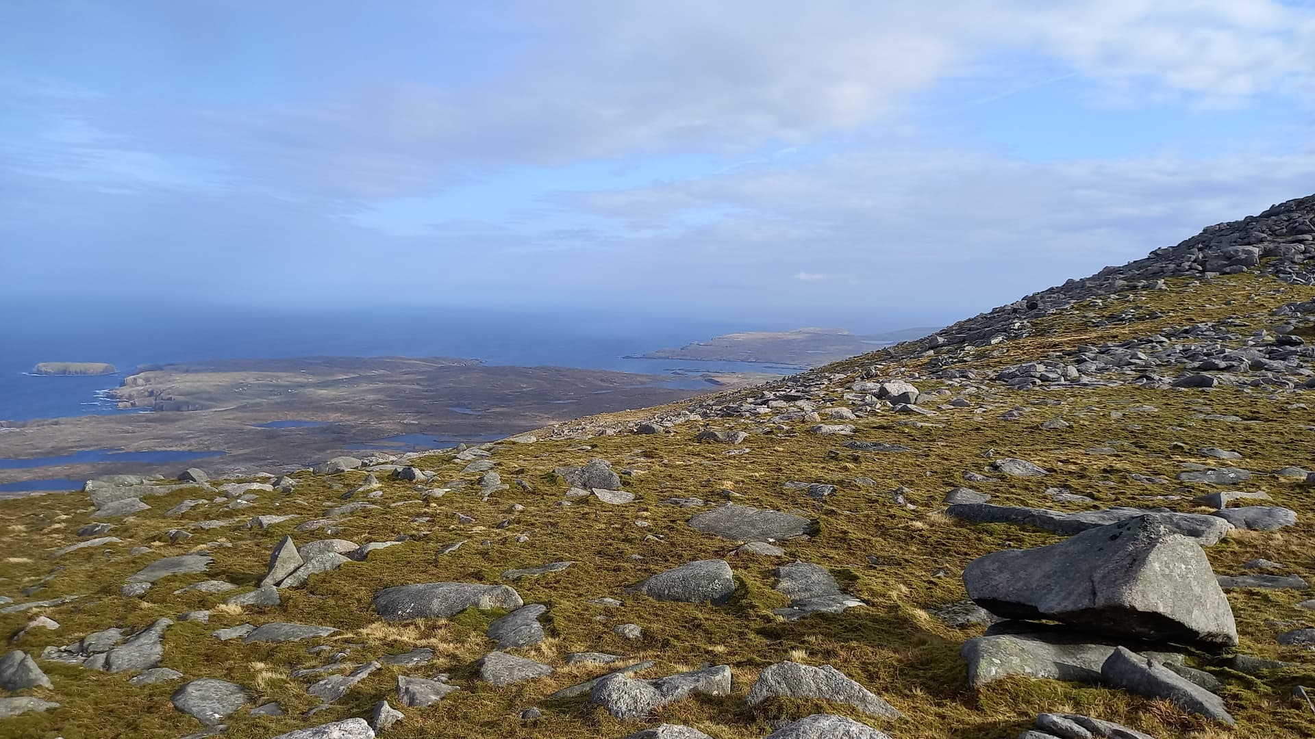
Atlantic Ocean views
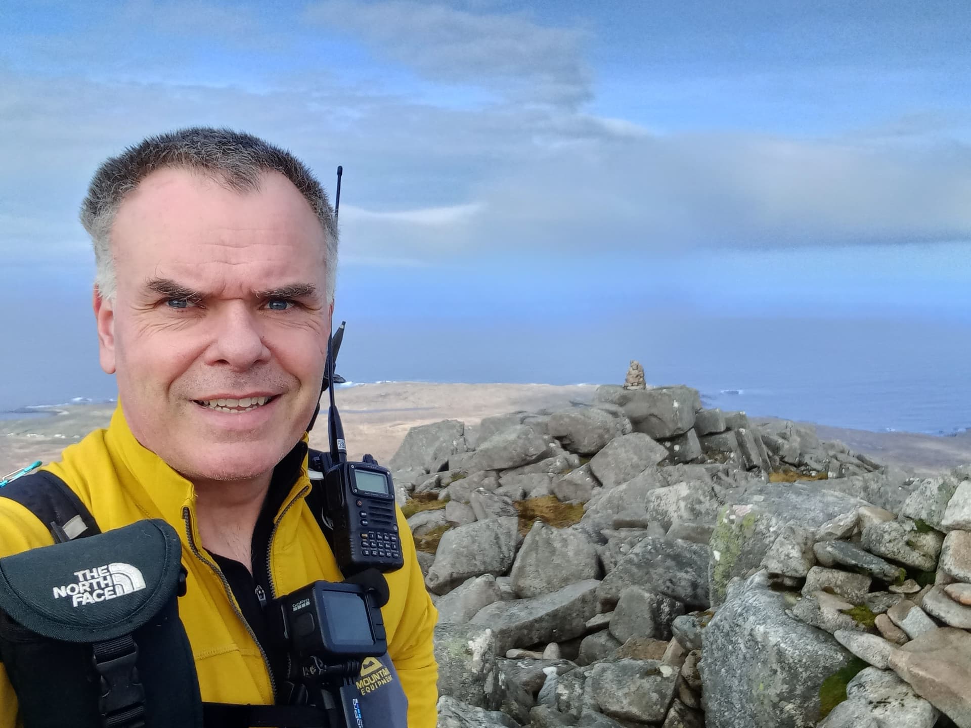
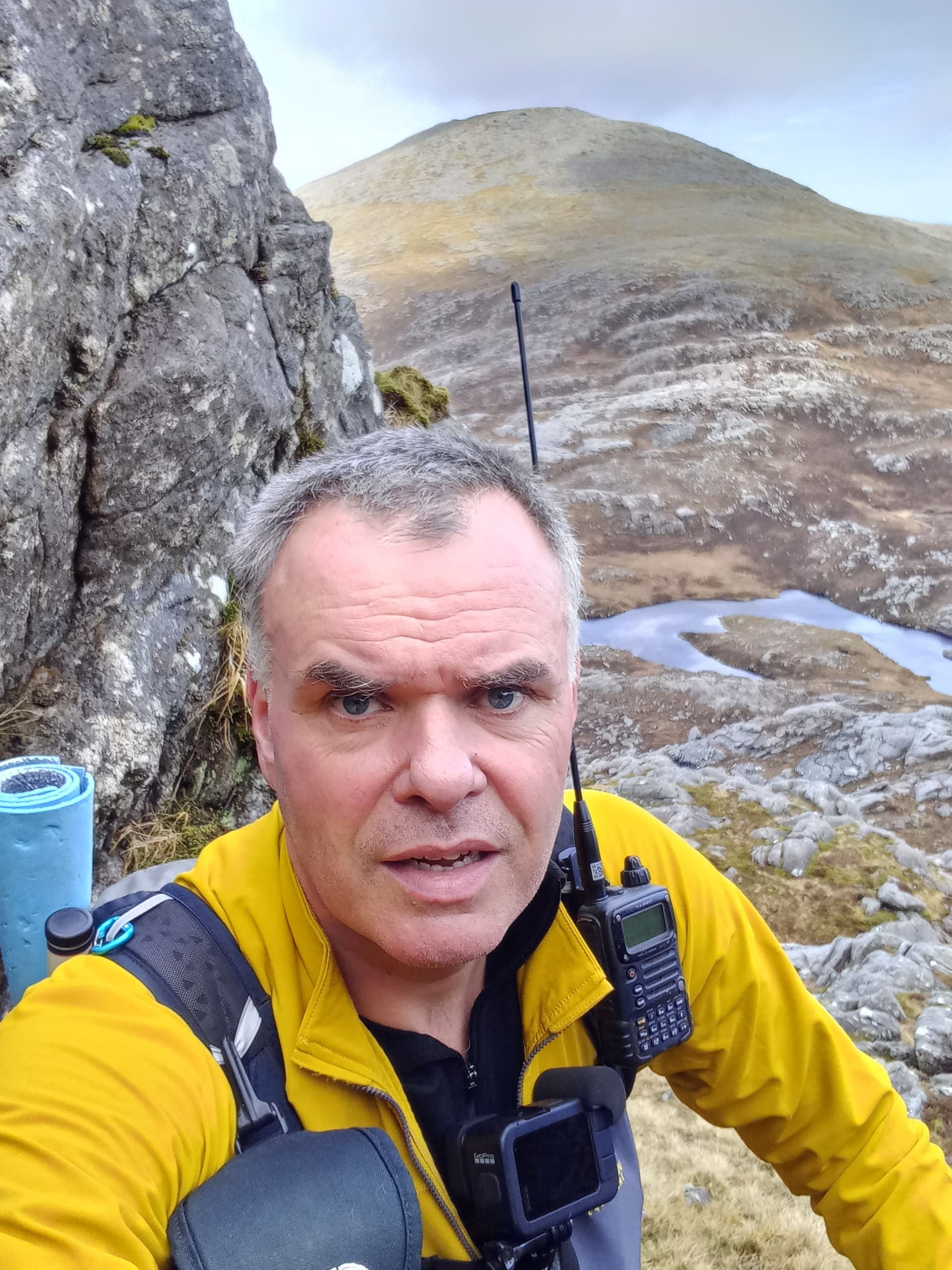
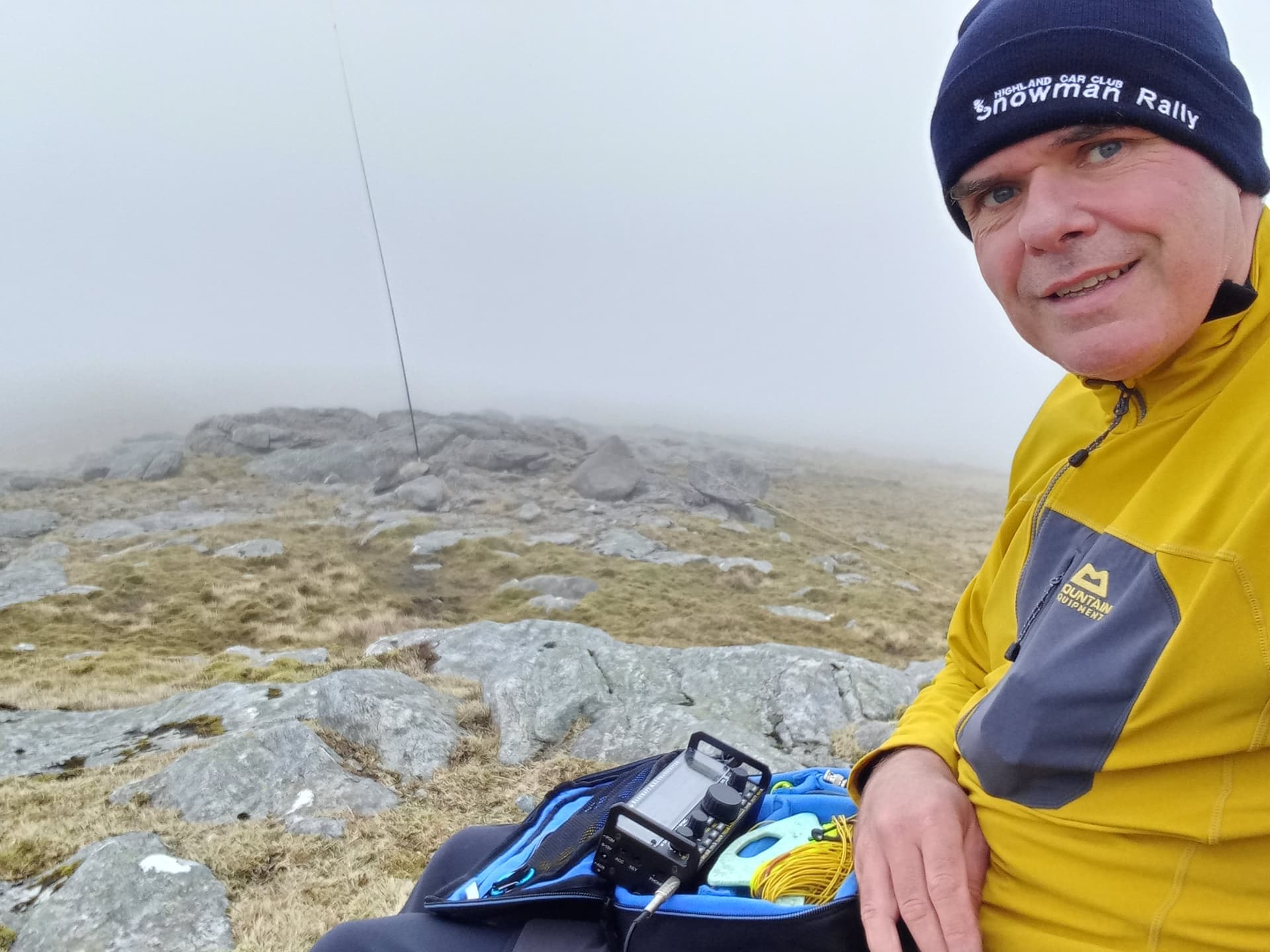
summit selfie on Mealaisbhal
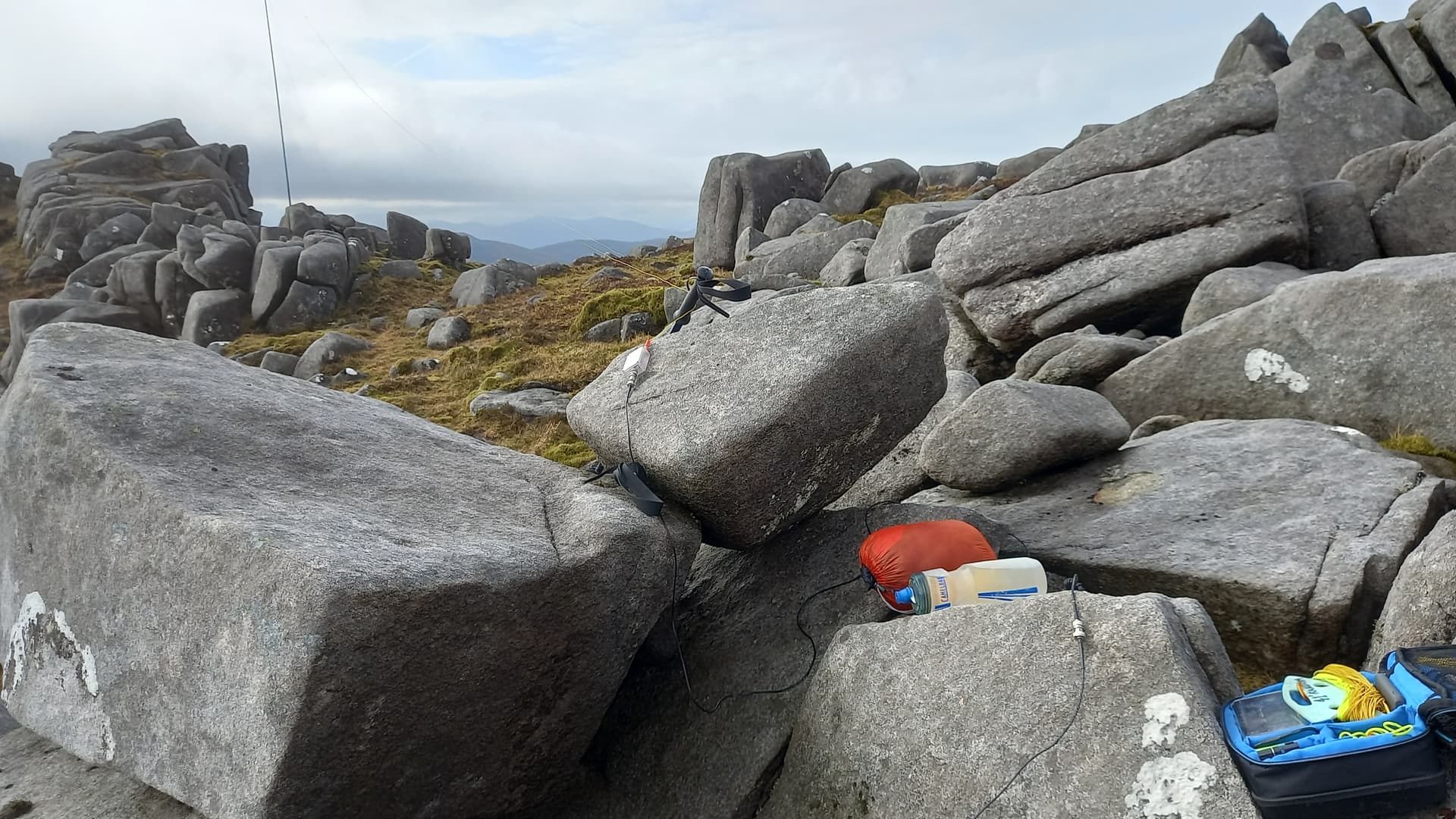
messy station set up, with the matching unit on a rock
I spied some shattered rocks that looked perfect for the mast sleeve and indeed they were. The EFHW stretched NW to SE and I found shelter in a hollow between boulders. 4G good, so no faffing around to spot and I was good to go on 40 m and then 20 m SSB. Between 0959 and 1015, I logged 26 QSO’s, with @G4IPB Paul first in the log. 20 m was suffering from QSB, but not too badly. @GW4BML was QSO of the activation, talking to me (probably on his phone) from an exhibition hall in Germany, via his remote station in Wales. Oh, I was an hour ahead of plan, which would set a relaxed mood for the rest of the trip.
Cracaval 514 mGM/SI-064
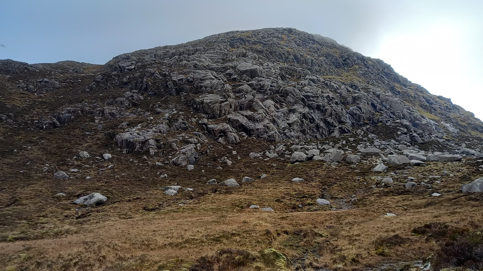
Descending south to get away from the spine of rock brought Cracaval into view. This was one of two crux parts of the hike. A steep prow, with clumps of rocks and steep grassy rakes. But I had to get there first. Heading south east over grassy slopes littered with boulder bands led to pools and rocky slabs at the col. A few blind alleys here, but not too much time wasted and I was soon at the foot of the climb.
Cracaval GM/SI-064
On the approach, I’d spied a central grassy rake that split the face, however on closer inspection I could see that off to the right a sequence of shorter grassy slopes and rock walls led to and joined the main rake, so I opted for these. On completing that section, I saw a slope leading up to the right and then more short rocky steps, after which the angle seemed to ease. This also looked better than the steep wet grassy rake, so I went for that option and had no difficulty. A final wall barred the summit, but this was easily overcome with just one scrambling move. Almost level ground led to three tops, two of which had cairns, the middle one being the highest.
Ascending Cracaval, with Mealaisbhal in the background
I’d been sheltered from the wind during the climb but was now subjected to its full strength. The summit cairn sat atop a rock step and this would provide shelter for my activation. Again, the EFHW was strung out north to south. This time however, I took out the VX-7r and put a shout out 145.500 MHz. I soon had locals GM6BGJ and MM6ELW, who were almost apologetic that there were very few folk around, it being a week day. 40 m SSB brought a further 13 contacts. Band conditions were deteriorating. I packed up my kit and only then realised I’d forgotten about 20 m. Oops.
hiding from the wind
Tahaval 515 m GM/SI-062
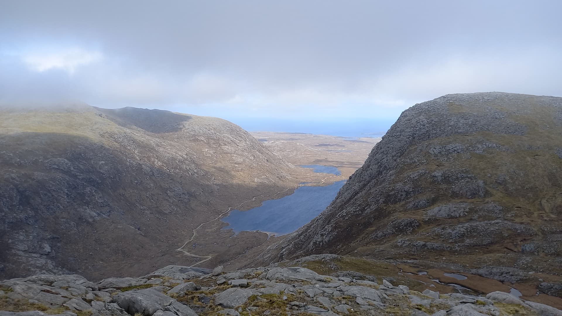
Heading south and then south east over broken ground saw a decent at a reasonable angle, although care was needed at all times to pick a safe route through rock bands and bogs. The entire afternoons route lay before me. Quite a lot for just one summit.
panorama pic - climb the slope on the right, hike left along the ridge over the first top. Tahaval is almost obscured, far left
On reaching the vehicle track in the glen, I decided to stop for 15 minutes for a ‘proper’ lunch. Thankfully I was carrying just the thing. A malt loaf. And a banana. With that done, I began the ascent to the col between the two (non-SOTA) summits of Tamnasbhal and Teinneasabhal.
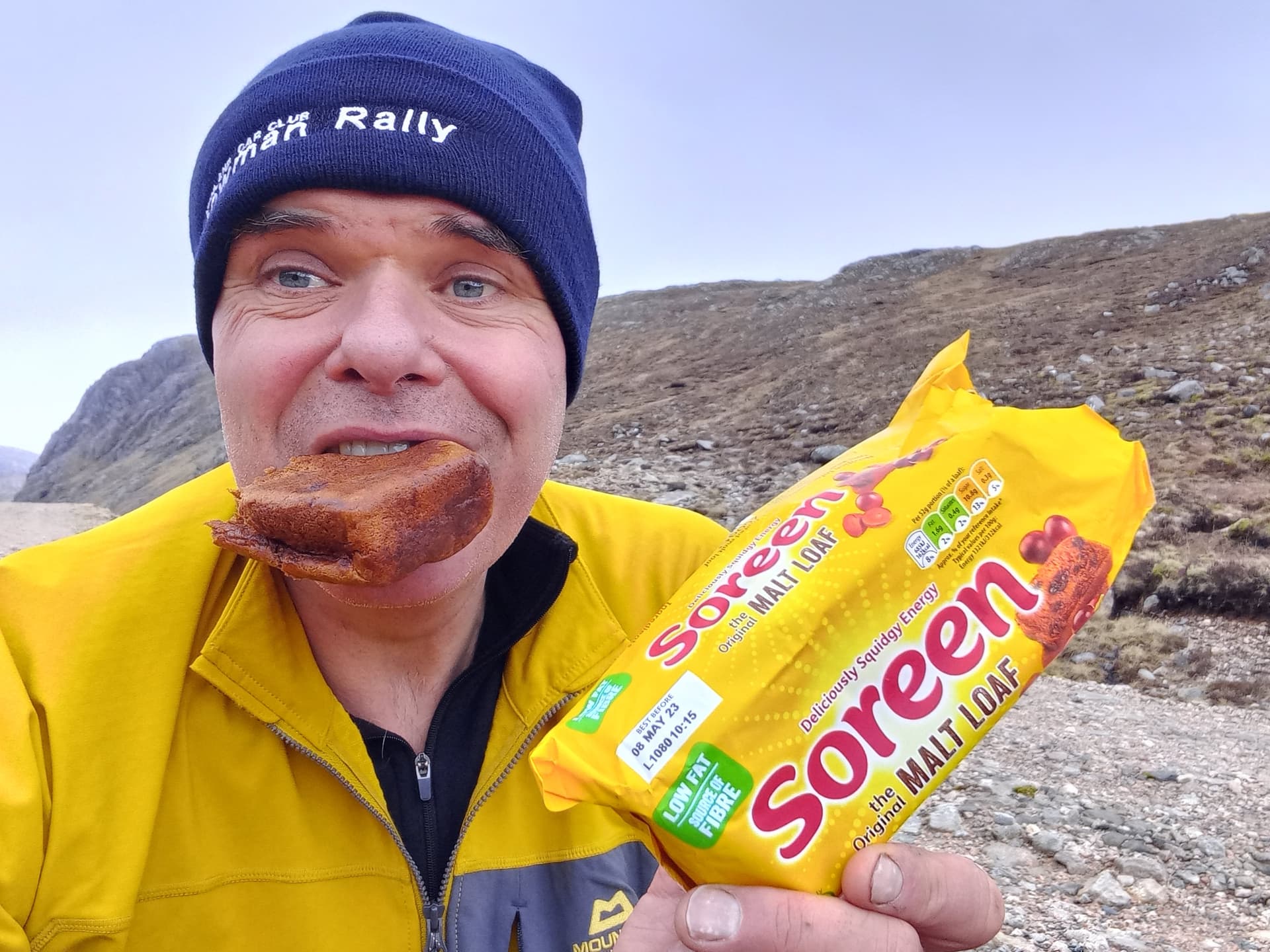
lunch
The col reached, I turned north and plodded up the long and reasonably angled ridge that led to Teinneasabhal, a summit I’d have to climb to gain access to Tahaval. Looking back south I could see wilderness to the left of Teinneasabhal and a sea scape to the right. The east face of Teinneasabhal dropped into an incredible slabby and almost vertical face. I wondered if it had been explored.
Clouds met me as I topped out on Teinneasabhal. I didn’t pause, instead concentrated on finding a safe way down to the col. Further east turned out to avoid the worst of the difficulties. In the meantime, clouds cleared from Tahaval, so I got a move on.
Tahaval GM/SI-062, the cloud having just cleared the summit
The ascent of Tahaval wasn’t as bad as it looked from afar. Mainly on grass, with a few bands of boulders further up. I was soon established on the table top summit. The wind, which hadn’t been bothering me for a while, had picked up again and was as strong as I’d felt it all day. No sooner had I taken a couple of photos at the top, the cloud moved over, obscuring any view.
on the rocks
final summit selfie, before the view disappeared
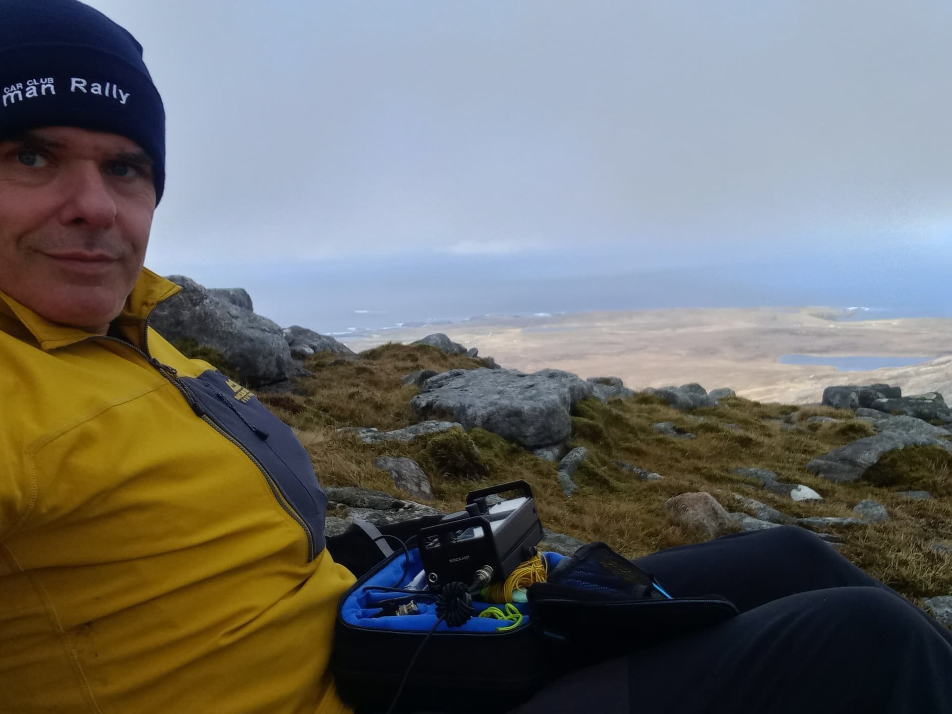
Due to the lie of the land and the wind direction, the EFHW would run south to north on this one, 180° out from the previous activations. I generally don’t notice any difference. The mast fell over the first try, so I jammed a few more boulders up against it. There was only just enough shelter from the wind behind the summit cairn. Again, as on every summit today, no issues with 4G, so I got my spot away and had a go on 40 m SSB.
activating GM/SI-062 - the Carbon 6 doing a great job in the wind
40 m was now in poor shape. I did complete nine QSO’s however. 20 m was as bad, with four logged. A quick check of DX Heat surprised me. The entire page was full of 10 m spots. I went up to 28.250 MHz, however only worked one station - SV1RVJ. With time on my hands, I spotted on 15 m and had a further four contacts, with a nice surprise to summit with 9A/S57MS/p from 9A/PH-028. Despite an SFI greater than 150, K was around 3 or 4 for most of the day, so hardly surprising 40 m and 20 m were suffering from QSB.
As a side note - when I tuned to 15 m and keyed the mic., the SWR went sky high. This obviously shouldn’t happen with a resonant EFHW. I instinctively hit the tune button on the radio and it fixed it. Later when I was dismantling the antenna, the banana plug that goes into the 49:1 fell to the ground. Surely I wasn’t transmitting through a banana plug and a 5m coax counterpoise? Anyway, it’s had a hard life and will be a simple fix.
The Descent
With everything packed up, I set off north across the table top, towards its edge. Still in cloud, I couldn’t really make out any features, as I peered down into the gloom. The OS map showed less steep ground to the east, so as I descended, picking my way down small crags and steep slippery grass, I always tried to aim right. At one point I stood above two mountain hares, although I could only see the one in its white winter coat until they moved. The second one, in summer grey, was only revealed when the pair sprinted away from me across the slope. Soon, a third was spotted. This time half grey, half white.

descending steeply out of the gloom
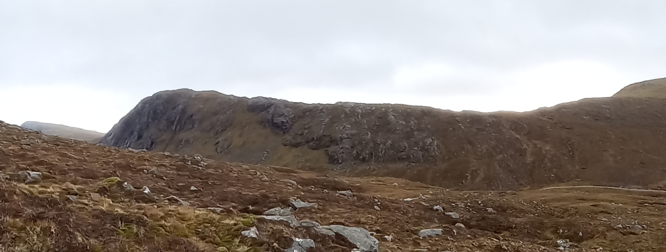
Eventually I came across a broad grassy but steep gully which seemed to head straight down to the flat ground to the west of Loch Mòr Bràigh an Tarain. Water flowed down it, but this was easily avoided. At the bottom I turned left across slabby and undulating ground which was interspersed with pools and bog. Looking back up, I could see that my gully was perhaps the longest but safest way down from Tahaval. To the right were numerous bands of crags and some overhanging at that. Right again and grassy rakes seemed to show a shorter way down. A route for drier ground conditions and better visibility.
grassy gully to the left, crags in the middle, grassy rakes further right
Eventually Loch Reonasgail came back into view, with the main vehicle track on its far side. I had to guess where I’d left the bike, but knew I’d have to walk to the north end of the loch, somehow ford the outflow river and then back track south on the main track for a few hundred metres to retrieve the bike. The outflow would probably involve wet feet. Or did I see a bridge?
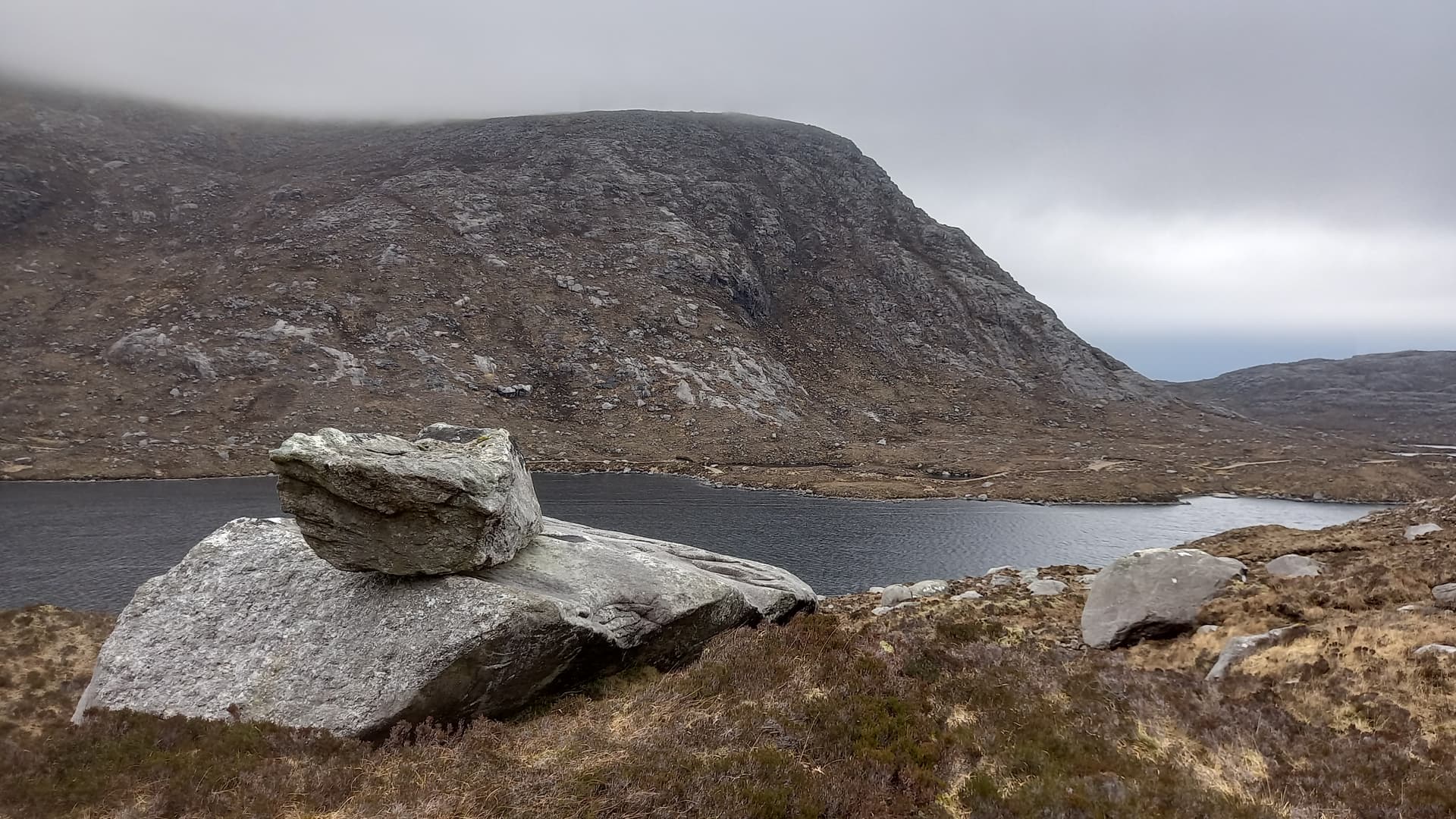
approaching the loch, track on far side. Lots of “boulder on rock” around here. I counted more than twenty. I wonder who put them there?
Indeed there was a bridge. Not shown on any OS map. Just a couple of stout logs and some planks. It’ at NB 037 278. There’s no path leading to it and the ground after it is horrible! Anyway, it got me to the track dry shod and I soon found the bike. 15 minutes later and I was back at the car.

back at the parking spot
Summary
The Kit
My hill kit was lighter than of late, but I still managed to cram my down jacket, lightweight waterproof, 1st aid kit, water, malt loaf, a banana, an oat bar, , swiss army knife, GPS, compass, gloves and a hat into my bag. The yellow top I was wearing is by Mountain Equipment. Very windproof! I also carried walking poles and a ground mat.
My radio kit – Elecraft KX2. Internal battery plus one spare. EFHW antenna, 5 m coax, 49:1. Spare antenna – 41’ random. Yaesu VX-7R with Nagoya whip and also Diamond RH770 in my bag. Sotabeams Carbon 6 mast and plastic sleeve. I didn’t guy anything all day. The mast sleeve always went into some rocks and I placed a rock or two over the far end of the wire. The KX2 battery lasted for all three activations (and indeed a fourth one the following day).
All of this fitted in or on my Mammut 15 litre pack.
The Hills
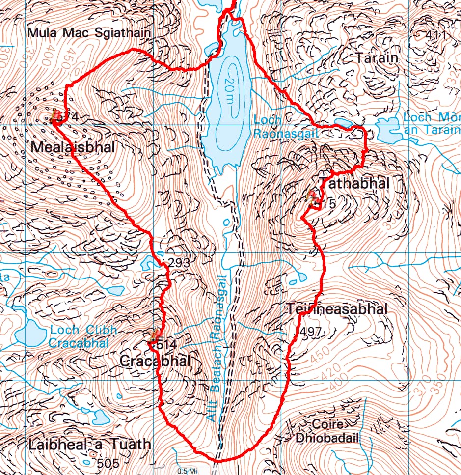
gps track of the hike. Climbed anti-clockwise
These three are tough, rough, rugged and pathless little mountains. Very rewarding though. They command careful route finding and also need great care underfoot. A slip in the wrong place could lead to a tumble. I don’t think they are climbed by many, and certainly never by any SOTA activators. My activations were the first time any of them have been activated. I’m not sure if many chasers were aware of that, although some did thank me for a new one!
They are certainly worth doing for the Atlantic views, the rugged mountainscapes and of course a glimpse into the Lewis interior – it really feels like SOTA on the edge.
73,
Fraser MM0EFI