Do you love vast forest areas and mysterious, pristine landscapes? Are you happy with only little views at the summit? Are you enthusiastic about bizarre red sandstone rock formations or old castles in the forest? Do you have a car at your disposal? Do you also like smaller SOTA mountains with 2 or 4 points? Can you take a few days off and stay overnight in the region? Then read this report. The Northern Vosges are a beautiful area and look forward to your SOTA visit!
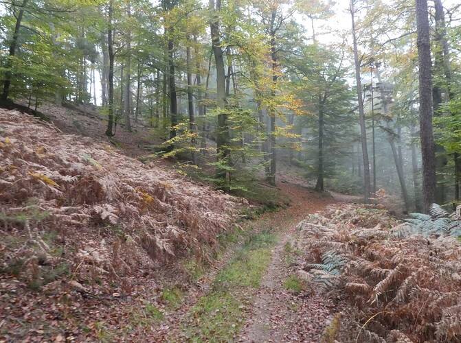
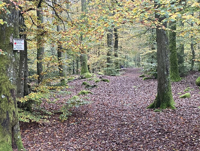
The Northern Vosges (Nordvogesen resp. Wasgau in German resp. Vasgovie in French) are a large forest area with countless conical mountains. They are located north of Saverne, where the Strasbourg/Paris highway A4 passes through. The Palatinate Forest continues north beyond the border with Germany. The region lies at an altitude of 300 - 500 meters above sea level. The forests are accessible by hiking trails, forest roads and forest tracks. The main tree species are oak and beech.
In terms of SOTA radio, the Northern Vosges belong to the region FL/VO. Many of you are familiar with the south with its many easily accessible 10-point mountains. The region becomes flatter towards the north and it is less touristic. But that doesn’t mean that it is boring.
I visited the Northern Vosges together with Armin, DL6GCA. Here are some impressions from our expedition. Take some time for a trip to this quiet and beautiful area. With its many forest roads, mountain biking towards the summits is also an interesting option. Armin and I are looking forward to more activations from others (you! ![]() ) in this region. Don’t forget to use 40 m on CW or SSB. Since we are from nearby, we won’t hear you on the higher bands. That would be a pity!
) in this region. Don’t forget to use 40 m on CW or SSB. Since we are from nearby, we won’t hear you on the higher bands. That would be a pity!
With one exception, we had access to the mobile network everywhere for spotting, albeit sometimes with weak signals. 10 m connections were possible on all summits: in the morning thanks to radio friends from nearby, DX on CW to Japan, short skips, S2S to home or contacts to Tenerife. After midday, South and North America very constantly. Armin and I separated from each other on the summits to avoid interference, and we even managed at some summits to use 10 m at the same time!
Our travel time: October 20-25, 2024, beautiful autumn days, wonderful atmosphere in the autumn forests. Certainly also very beautiful in spring. Probably pleasant in summer as you are in the shade most of the time. Only a few raindrops once for 3 minutes on Mt. Erbsenberg. You are moving around in wooded areas, so it makes sense around the year to take a quick look in the evening to check if a tick needs to be removed.
Our itinerary
We activated the area from west to east. At the beginning on the smaller hills, four to five activations per day were possible, then three to four activations in the core area. Our accommodation was the Hôtellerie du Couvent in Oberbronn, a hotel with basic board and lodging on the south-eastern edge of the Northern Vosges. Possible tracks are recorded on SOTAmaps and can be looked up in Sotlas. Status of information and observations: October 2024.
Day of arrival
Arrival from Basle via A35 and A4 to Oberbronn. On the way 2 summits.
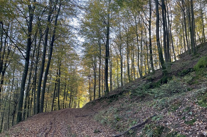
- Hochfirst, FL/VO-198, 421 m, 2 points: Access from Offwiller to a forest parking lot. Hiking time: approx. 20 minutes.
- Wasenkoepfel, FL/VO-075, 526 m, 4 points: We parked the car at the hotel. Start of this hike from Rue Gelders, Oberbronn. First over various stone steps, first contact with the beautiful red rocks. Then on pleasant forest paths to the summit. Unfortunately no views from the old lookout tower – the trees around are higher. Hiking time: approx. 35 minutes.
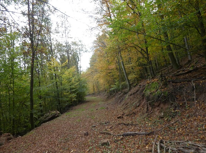
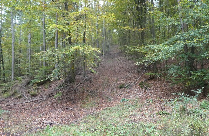
Forest road to Hochfirst, FL/VO-198.
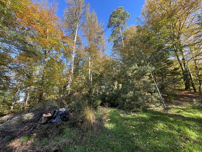
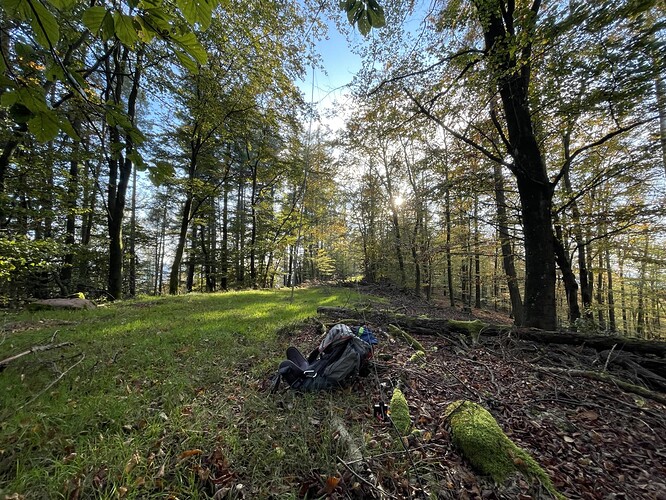
At the summit of Wasenkoepfel, FL/VO-075.
Day 1 – Around Eguelshardt
First day, big program: 5 summits with shorter hiking times.
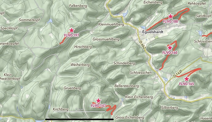
5 summits, an ambitious program for the first day. Map: MapOut (iPhone/iPad) with a summit layer exported from Sotlas and prepared hiking tracks.
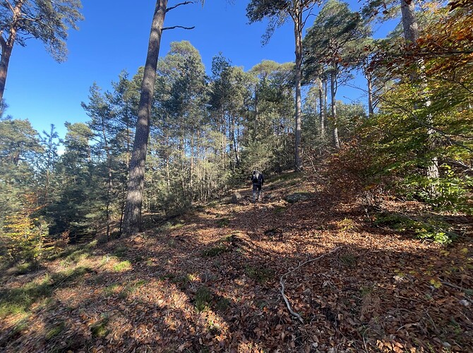
- Duerrbergkopf, FL/VO-147, 421 m, 2 points: Ascent from Lindelthal from a parking lot next to the access road to Lindel farm. Initially numerous traces of wild boar and wet ground, then better paths on the ascent. Halfway up we reach the sun. A large clearing at the summit, but not yet in the activation zone. A few more meters in the thicket, then activation in the middle of the trees. Nothing here for Herbert’s Hentenna antenna, hi. Hiking time: approx. 35 minutes.
- Hochkopf, FL/VO-197, 429 m, 2 points: Transfer via a side road via Mouterhouse to the Col du Widerschall – a funny name. Start at a road crossing. Short ascent to the summit with a nice bench. Hiking time: about 10 minutes.
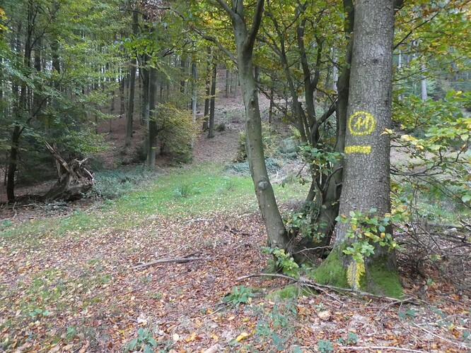
- Igelsberg, FL/VO-188, 400 m, 2 points: Start in Eguelshardt at a street corner near “La Petite Suisse”. A hiking trail (blue cross) leads up to Col du Sandkopf. The east ridge to the Igelsberg begins there. Initially pathless, but then with clear traces of logging and a clearly visible path to the summit. Hiking time: approx. 25 minutes.
- Armsberg, FL/VO-160, 383 m, 2 points: We followed the track of Luc, ON7DQ. Beautiful rock formations on the flat summit. Hiking time: about 30 minutes.
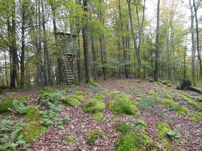
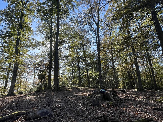
- Gauchsberg, FL/VO-165, 356 m, 2 points: Start at the side of the connecting road D162F to Hanauer Weiher. Easy, long forest road. At the summit beautiful forest area with moss and a hunter’s hide. Hiking time: approx. 20 minutes.
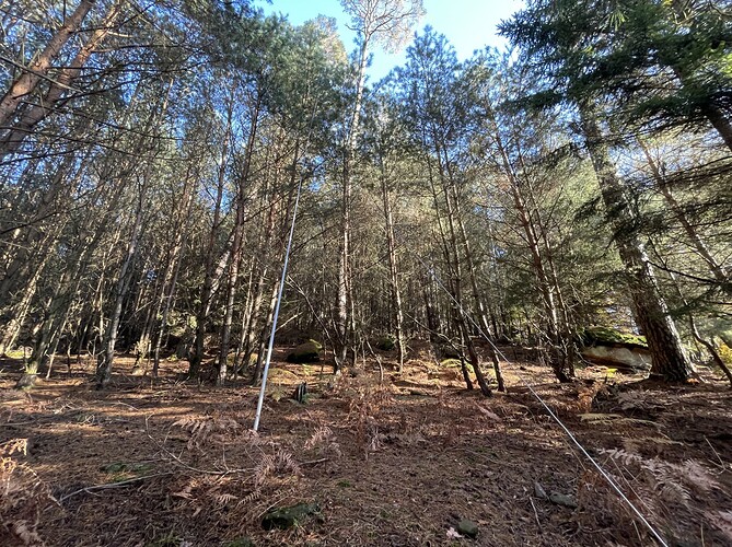
Dense forest at the top of Duerrbergkopf, FL/VO-147.
A nice place just under the real summit of Hochkopf, FL/VO-197.
Approaching Igelsberg, FL/VO-188: This rock waits for any enemy approaching on this road from the trailhead . . .
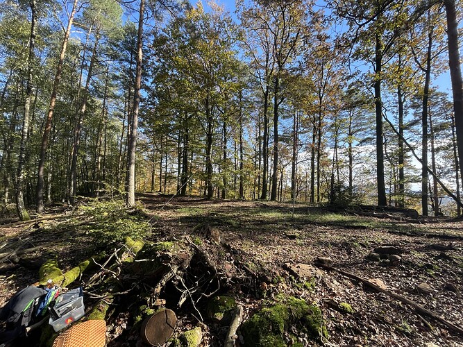
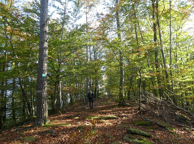
“Make Nature your Shack!” – at the summit zone of Mt. Igelsberg, FL/VO-188.
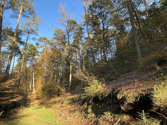
Descending from Armsberg, FL/VO-160: Route Armsberg is a broad overgrown forest road.
The summit of Gauchsberg, FL/VO-165, is a lovely place. Unfortunately, no deer was seen anywhere.
Day 2 – Between Falkenstein and Philippsbourg
Second day, today 4 summits in the middle of the forest. The highlight is the last summit, Falkenstein Castle, with a great view of this late afternoon’s sun!
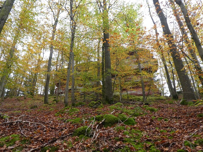
- Erbsenberg, FL/VO-187, 402 m, 2 points: Start at the forest parking lot at Etang de Waldeck. The sport climbers leave us at the Château de Waldeck. Then easy forest roads. Finally, a return route to the ridge. Various sandstone rocks along the way. Hiking time: approx. 30 minutes.
- Grand Steinberg, FL/VO-192, 360 m, 2 points: There are approaches to this summit from the west and from the east. With a view of the next summits, we chose a small parking lot on the side of D87A. Initially easy forest roads via the Chemin des Pionniers. The last section is pathless and steep to a rather narrow ridge (T3). There you are in the middle of the red rocks, which make a great background. Their influence on wave propagation is very mysterious . . . The headphones were very useful here: shooting noise from the Bitche military training area from the north, noise from forestry work from the south. Hiking time: around 30 minutes.
- Falkenberg, FL/VO-158, 391 m, 2 points: We have chosen the approach from the north via the forest roads. Caution: not all paths are correctly marked on the usual maps. At the summit steep and pathless up to the ridge with the long rock, in it an old military observation post. Steep terrain there. Hiking time: approx. 30 minutes.
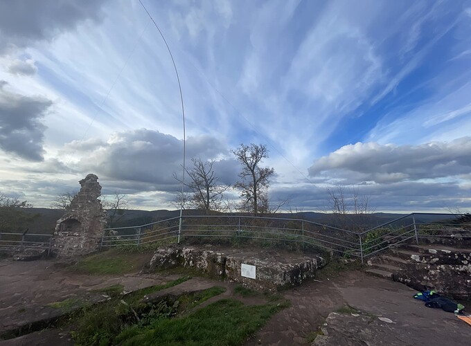
- Helfenstein, FL/VO-191, 363 m, 2 points: Short drive on to the next parking lot, then a good path to Falkenstein Castle, a well-known tourist destination. Spacious castle ruins with great views over the cone-shaped mountains of the Northern Vosges. We activated at the top of the ruins. Walking time: approx. 25 minutes.
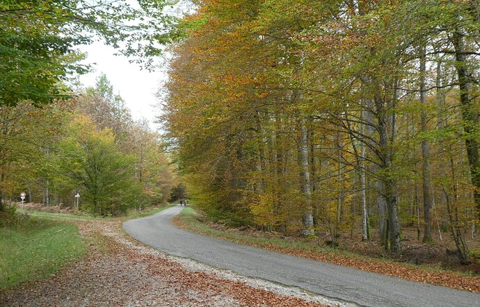
In the Northern Vosges, the forests are also accessible via a few main roads, which makes an access to the summits easier.
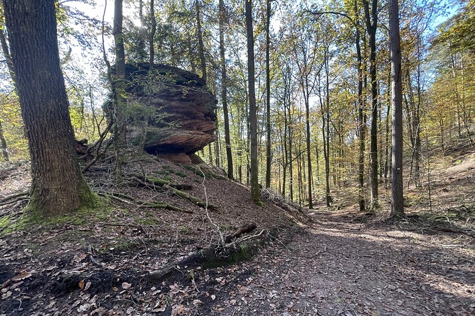
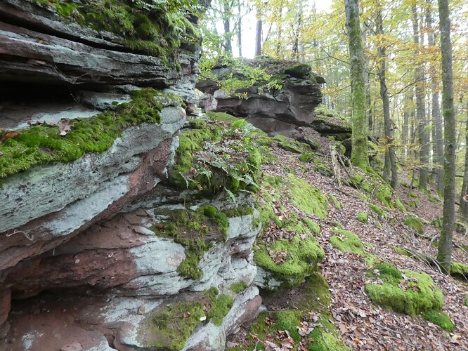
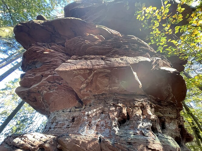
Ascending Erbsenberg, FL/VO-187: meeting again our red friends on the ridge, the sandstone rocks with their bizarre shapes.
At the trailhead for Grand Steinberg, FL/VO-192: This is the type of the main road D87A. Our trail starts on the left side in the background on Route Pionniers.
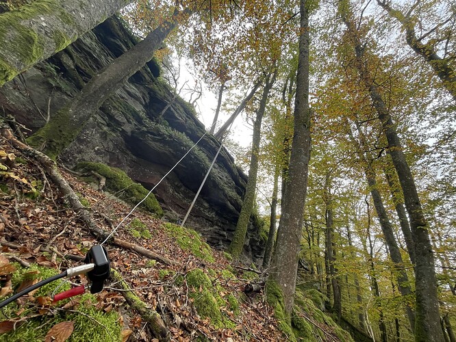
T3 terrain at the long ridge of Grand Steinberg, FL/VO-192. What a beautiful balcony once you’ve found your seat and the antenna is set up. Don’t loose here your tools under the leaves, hi.
A similar situation at the top of Falkenberg, FL/VO-158: steep terrain again, but even larger rocks on the ridge. The long mast (10 m “mini”, DXwire) may seem a little bulky, but I loved it in the woods.
A place to be above at the top of Helfenstein, FL/VO-191: at the summit zone of the Falkenstein Castle, straddling a large set of red sandstone rocks. DXing to the Americas was fun from here! Even the clouds gave us an assist . . .

. . . but why do we have to convince our friends in the Americas so often that the bands are open and that they can spice up their life by chasing us here in EU on 10, even SSB? Thanks on the other hand to those we met frequently and who made our day! ![]()
Day 3 – In the core area of the Northern Vosges
The next day took us to a more remote area between Dambach and Obersteinbach. Forest, forest, forest! Together with the sunshine, a great atmosphere. There are only a few hiking trails and forest roads in the core area, but some logging roads for the timber industry.
- Steinbacher Wintersberg, FL/VO-154, 406 m, 2 points: Start at a parking niche next to the D53. It is barely 5 degrees warm. We like to move! After a short time the sun rises over the hills. We ascend on beautiful forest roads up to the summit, even if there were shortcuts. At the summit from the path without a trail steeply up to the fantastic red rocks. The sun is already warming up nicely! Hiking time: approx. 45 minutes.
- Fischerberg, FL/VO-146, 430 m, 2 points: This summit is just opposite to the south, so it can be easily combined. Forest roads lead around the summit, but not up to it. The approach from the north seemed impassable to us, so we walked the western flank to the south in order to gain the summit from the southwest. The approach from the forest road is a bit tricky (T3), but quickly flattens out. Beautiful summit! Hiking time from the parking lot: approx. 45 minutes, in transit from FL/VO-154 a little shorter.
- Nestelsberg, FL/VO-189, 379 m, 2 points: One of the new summits in the neighborhood of the Bitche military training area. Start at a niche on the main road D35 to Bitche. We first had to look for the access to the summit from the forest road around the mountain. However, there is a newer forest road that provides access to the summit. Hiking time: approx. 30 minutes.
- Grosser Hundskopf, FL/VO-190, 372 m, 2 points: The car can be parked at the start of the forest road. We followed this road for quite a long time until it reached the activation zone. Due to the topology, I had to spot via SMS. Hiking time: approx. 30 minutes.
We were glad of the sun that day. Otherwise it would have been quite cold and damp.
Up to Steinbacher Wintersberg, FL/VO-154: We enjoyed some good sunshine after the next turn!
Steinbacher Wintersberg, FL/VO-154: Great cinema on this summit! None of these ever fell on our heads.
The southern end of Fischerberg, FL/VO-146, provided better access to the summit line – Armin heading towards the beautiful summit. There are frequently skid lines that are used to slide the logs to the next lower forest road.
Forest again in the afternoon on this newly added summit Nestelsberg, FL/VO-189. A skid trail permits a regular access to the summit zone.
Nearby the summit zone of Grosser Hundskopf, FL/VO-190. Great scenery in the golden light of the approaching evening. The forest road is overgrown here in parts, so make sure in the evening with a mirror that you don’t have taken down unwanted guests (ticks).
Day 4 – Between Windstein and Dambach
On the last day, we visited beautiful destinations south of the previous day’s summits. The last summit, Modenberg, was a beautiful scenic highlight.
- Mittelkopf, FL/VO-128, 515 m, 4 points: We had already read about Windstein and its castle ruins. Colleagues had spent the night in the Hotel Windstein. There is a public parking lot in the village, and parking is not permitted further up. From there on wide forest roads to the Col de Guensthal. From there you can see the Summit to the east. Thanks to a skid trail, you can quickly reach the summit without a path. In the fall, everything is covered in snow from the beech leaves. Hiking time: approx. 50 minutes.
- Grossfoellmer, FL/VO-142, 447 m, 2 points: You can park your car at the entrance to the forest on Rue de la Forêt. From there, follow the wide forest roads in the direction of the summit. After a large curve, a wide skid trail leads up to the summit, where there is a large red boulder. Hiking time: approx. 40 minutes.
- Modenberg, FL/VO-152, 411 m, 2 points: Start at the same parking lot as for FL/VO-142, but first head west along a settlement to the start of the hiking trail up the Modenberg. Beautiful path along . . . yes, you guess it: beautiful red sandstone rocks! The highlight on the way is the beautiful view to Neunhoffen and a little later Rocher de l’Homme, a wonderful slender rock that looks like a work of art in the form of a stele. Behind it, there are two paths to the summit: a ridge path and a lonely forest road. We used both paths. Pretty area at the summit in the evening light. Hiking time: around 45 minutes.
Three summits on this day ensured a healthy appetite for dinner. Another wonderful day for forest lovers!
Skid trail #11 provided good access to the peak of Mt. Mittelberg, FL/VO-128, just in the background.
Another skid trail – straight and steep – opened the doors to Mt. Grossfoellmer, FL/VO-142, a nice summit with – yes! – a large red boulder at the top!
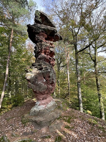
That one needs the portrait format: Rocher de l’Homme is the highlight regarding funny boulders in the Northern Vosges. This is nature, not a man-made piece of art! Simply great and unbelievable. On the ascent to Mt. Modenberg, FL/VO-152.
At the summit zone of Modenberg, FL/VO-152. It can be accessed from the “Rocher de l’Homme” boulder on a hiking trail and from a forest road.
Return day
We had saved two summits near the hotel for the last day, plus the Scharrachberg in the vineyards west of Strasbourg.
- Schlangenberg, FL/VO-184, 441 m, 2 points: We parked at the Brickskatershaus next to the main road. The name Schlangenberg probably also refers to the snake-shaped trails around the summit. We were able to shorten the route a little via a skid trail. However, we discovered this option only on our way back. Beautiful summit with several peaks. Paul, DL6FBK, who had been the first one up here, was delighted with a complete. Hiking time: about 60 minutes.
- Grand Wintersberg, FL/VO-048, 581 m, 4 points: The highest point in the Northern Vosges is a drive-on summit. Access by car is possible in a one-way system. Ascent to the summit on the east side of the mountain (from the mineral water factory north of Niederbronn), descent into the valley on the west side. A narrow but clear and good little road leads from the kiosk to the summit. Large summit area with an observation tower – great views from there, in good weather as far as the Black Forest and the Alps. Hiking time: 0 to 5 minutes.
- Scharrachberg, FL/VO-193, 314 m, 1 point: Drive-on summit in the vineyards west of Strasbourg. The Strasbourg cathedral can be seen from the parking lot. Hiking time: 0 to 5 minutes.
Despite several traffic accidents on the A35 highway, we reached Basle again in good time before the weekend traffic.
At the ridge of the summit zone of Schlangenberg, FL/VO-184. Yes, another point for the “Beautiful Forests Award”!
Wrapping up after activating the highest point of the Northern Vosges, Grand Wintersberg, FL/VO-048. Our stuff takes up space!
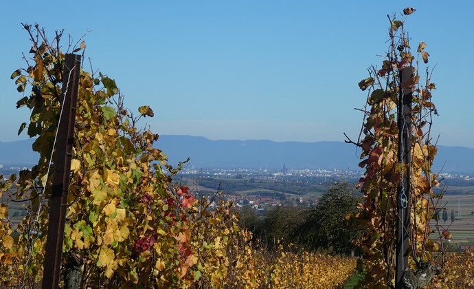
What a contrast to the days in the forest! Wineyards, open space, a cathedral – the beautiful views from this last summit helped us to settle back to our regular city lifes.
Conclusion
The Northern Vosges are a great destination for nature lovers who like a bit of solitude – and forests, forests, forests. Our time of year in the fall was wonderful. We were also lucky with the weather, as it didn’t rain. Most of the paths were easy to walk on.
At first, the area seemed like one big forest. But in the few days alone, we got to know the tangle of mountains, forests and roads better and better and recognised from the summits several other summits already visited.
We look forward to animated imitators who would also like to get to know and activate the beautiful set of old and new summits in the Wasgau region. Alert and spot your activations in good time, then we will also be glad to chase you and earn some completes! Many thanks to all SOTA friends we met on the bands or who had contributed with useful travel info.
Vy 73 de Markus, HB9DIZ

PS – Important Disclaimer: In no case will the author of this report be liable for any direct or indirect damage or disadvantage resulting from the use of information of this report.


