Thanks for the comments by Rick, Fraser and Remy.
I have Garmin’s mapping for the UK on my walking GPS and I use OSM myself as a backup on my phone in the UK and the primary GPS mapping when out of the UK (EU, Canaries etc.) But it lacks contour resolution and inherent accuracy for producing association summit lists. Oh, if we could use and rely entirely on OSM we could have associations for lots more countries. But we can’t.
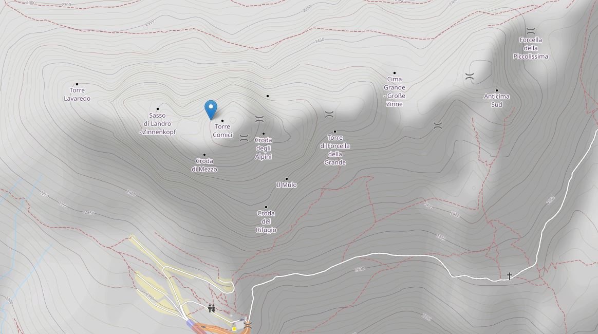
Here’s an example.
This is the OSM view for I/AA-052:
And this is what it looks like really:

You can see how the map doesn’t have the detail needed to get the summits list accurate for the association.
There are occasions when it can work, typically an island with only 1 or 2 summits.
And this is the other problem with some parts of the world. It’s so easy for me to take an exceptionally privileged view of the world that I get living in Western Europe and say what do you expect if you go to Western Sahara. That is the kind of problem I’d expect because of the political situation there and in many North African countries. People who live there would know there safe places and activities and unsafe places and activities likely to result in police/military interactions.
That’s why we like to have locals involved as AM etc. They can advise on what is and isn’t locally acceptable. And most people may discuss the bad points of their country but given the chance would love to show you the beautiful parts and act as unofficial guides and help out.