Another potential source of data for this is Digital Elevation Models (DEMs), typically captured via lidar/sar/stereo image pairs. Global coverage is readily available in 30-meter rasters from multiple sources. However, as has been pointed out in another thread, 30m (which I believe is the source for OpenStreetMap’s contours layer) isn’t accurate enough for capturing mountainous terrain.
Proprietary DEMs with global coverage are available down to at least 5-meter resolution (WorldDEM Neo), but are prohibitively expensive for large-scale areas.
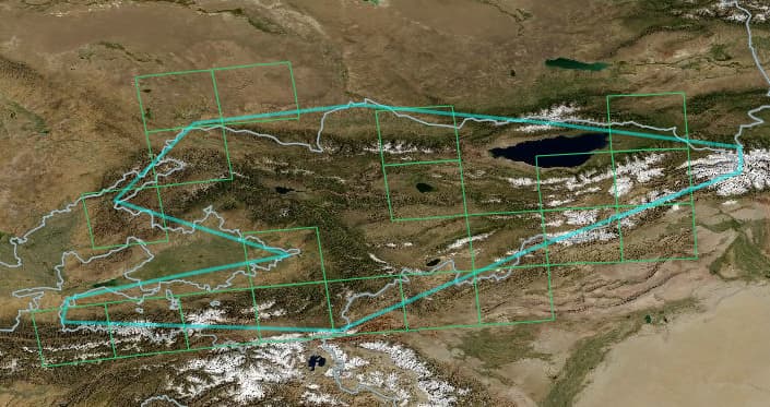
I have found this publicly-available High Mountain Asia dataset from NASA/University of Colorado with 8-meter rasters, and it seems to cover ~40% of Kyrgyz Republic, perhaps enough for a few regions to start the association:
Supposedly a good contour interval is twice the vertical error, which for data from the stereo image pairs is 5.0m. So I downloaded some example tiles, loaded them in QGIS, and extracted a hillshade layer and a contour layer with 10m intervals. It looks decent-ish in some places:
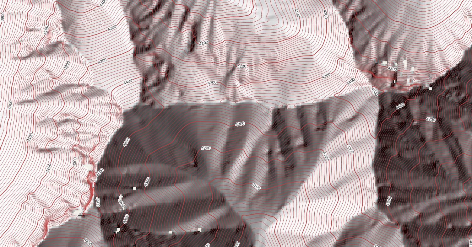
However, a BIG caveat, the dataset is not pixel-complete and has “holes” in some areas:

The user guide notes “The investigators elected to preserve only “valid” DEM pixels, and did not perform any additional interpolation or filling to remove voids. Future releases will include void-filled products.” So this DEM is not the end-all be-all, but perhaps it is another tool in the toolbox for now, and will be complete in the future.