Scotland tour September 2026

As briefly noted elsewhere, Martyn M1MAJ and I will be doing a SOTA Scotland tour (weather permitting). We’ll be based near Moffat for 4 nights from Tuesday 8th for some GM/SS summits. On Saturday we’ll move to Grantown on Spey for a week for some GM/ES and GM/CS summits. On the following Saturday we’ll move to near Coldstream for 4 days for some more GM/SS plus possible G/SB summits.

As usual I’ll be looking for 2m and 70cms contacts, though possible not the best areas for getting contacts! Any alerts are likely to be last minute as we select hills based on weather forecast and the state of our legs.

A couple of quick questions.

  • I recall that there used to be a bit of a natter net on 145.575 around Inverness. Is that still going? Interested both to find contacts and also to avoid annoying people by QSYing there if not nattering!
  • I had seen suggestions that walkhighlands might have information about which hills have stalking restrictions, but haven’t been able to find any, even for hills I’ve done previously that I know do have stalking. Anyone know of a good place to find out possible restrictions for specific hills?

Thanks,
Caroline.

4 Likes

Heading for the Hills site has a detailed list, including further contact information for the estates. It’s not exhaustive, so it focuses on the bigger/popular ones.

Good luck with your trip!

2 Likes

A report from yesterday, which I only had time to write because today’s weather has been rubbish and we weren’t able to get out SOTAing. The only disadvantage of the lovely cottage we are staying in, is the slow internet connectivity, so I’ll probably not be able to add photos.

Wednesday 9th September 2026: Hart Fell GM/SS-037

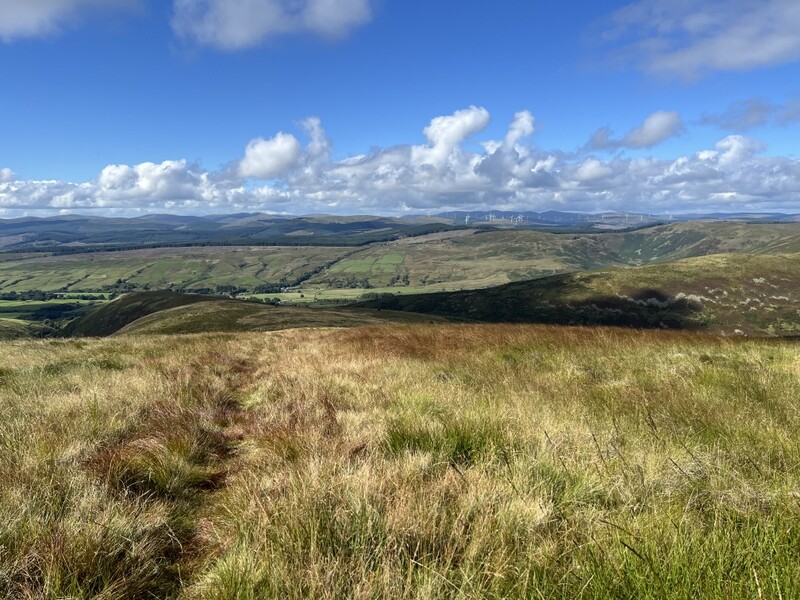
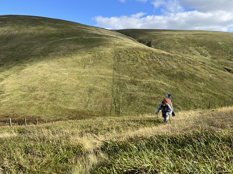
The forecast was for a dry day with relatively light winds, and given the cottage we are staying in is called Wee Hartfell, it seemed appropriate to make our first target Hart Fell GM/SS-037. We drove less than a mile further up the lane to park outside the Annandale Community Hall. It was cloudy and cool so we started off with coats on. A little further up the lane a fingerpost points to the public path to Hartfall Spa. The path was quite faint wandering on a little up from the stream, diverting round a deep stream and continuing above some trees. In places bracken was narrowing the path but we found our way through. Passing through a gate at the end of the trees on the right, the main path to Hartfell Spa went straight on, but we took a narrow path left through ferns close to the fence, bending away from the fence through trees to ascend onto more open hillside climbing onto the ridge of Well Rig. As we continued up the clouds broke to give some sun, but there was still a cool breeze, so at times we overheated as we climbed, but not enough to need to strip off. We had a couple of breathers when we stopped to chase a couple of other summits – Ros MM1ROS on GM/CS-015 and Tony M9OUD on G/LD-003. The views opened up as we climbed. At the fence junction on Hartfell Crag we crossed the fence, which turned out to be the right thing to do as the summit trig was on the east side.

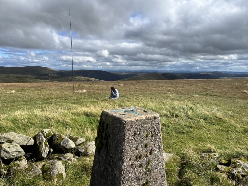
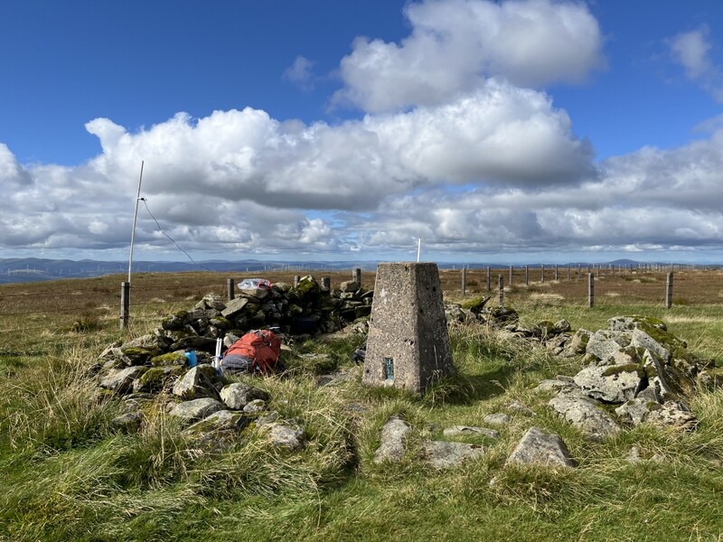
The trig point is a couple of meters from the fence and has the remains of a shelter surrounding it. There was enough breeze that it was worth getting some shelter, so Caroline attached the 2m dipole to the fence and could just get the radio on the top of the low shelter. There was plenty of flat grassy space for Martyn to set up HF. Tuning around to find a frequency Caroline heard a WOTA station calling on 70cms, so that was one in the log. We knew that Tony was waiting on Helvellyn, so calling him on 2m got us both the S2S. Martyn then went off to HF while Caroline worked a succession of stations who had heard her call Tony, including Ros MM1ROS who had moved off his summit but was still above 3000ft, so she soon had the hill qualified on 2m. A move to 70cms got both Tony and Ros again, with Derek 2E0MIX qualifying the hill for her on 70cms.

Meanwhile Martyn had been struggling on 60m, finally managing 4 contacts. He was in the process of moving to 40m when Caroline heard Richard G4OFB on G/LD-015 Grisedale Pike. By now we could see the distant Solway Firth with vague shapes of Lake District hills behind, so not far off line of sight – 59+ both ways to Grisedale Pike. Caroline ended up working Richard twice more – 2m SSM and 70cms FM! Caroline ended up with 12 2m FM, 6 70cms FM and 2 2m SSB. Martyn did reasonably well on 40m with 14 contacts. Since we were doing a circular walk with a longer walk out and more re-ascent we didn’t have time for more HF bands.

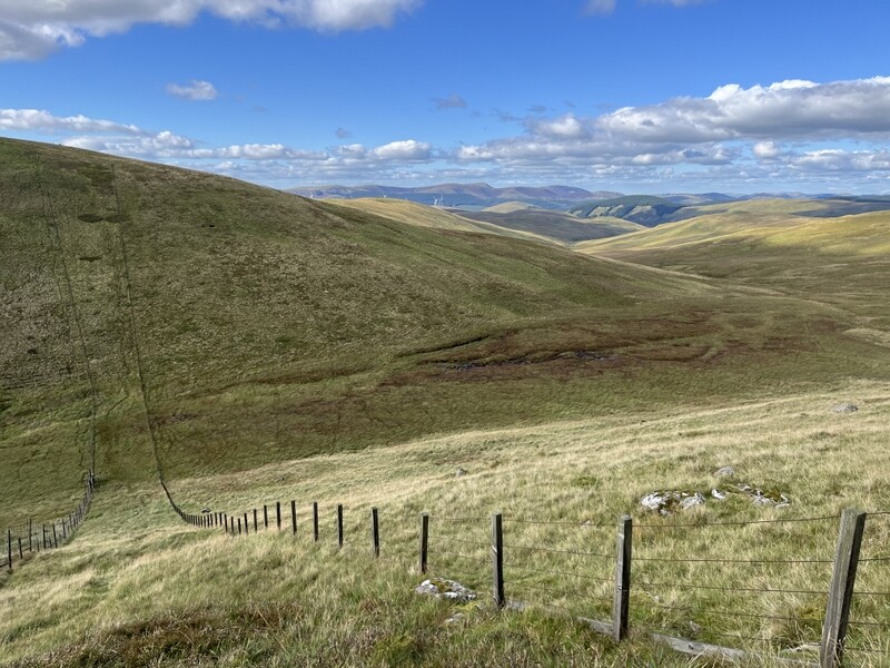
We descended roughly northwest, initially on a faint path but then following a fence line. We came to a steep descent into the valley of the Lochan Burn, and an equally steep ascent up the other side towards Whitehope Knowe. We stopped by the stile at the top of the steepest bit to refresh ourselves with an apple, though there still more ascent to come up Whitehope Heights, not helped by the path being through deep lumpy grass in places. Passing the Whitehope Burn we spotted a nice looking unmapped track heading down the spur, but unsure where it ended up continued along the fence line to meet the Annandale Way where there was a large cairn. We took the Annandale path as it wound its way down the valley, where there is a lot of tree regeneration going on. By now the sun was bright, with little cloud and we started over heating, but found a waymarked seat to stop to discard an outer layer, making the rest of the descent more comfortable.

We passed a little hut with information about the Borders Forest Trust who look to be responsible for a lot of the planting and land restoration. Further on we came to a little car park at NT072118 on the estate tracks north of Ericstane, which could be used for Hart Fell access. Our route was about 13.9km. It was a pleasant and varied route, though we could have done without the steep descent and reascent section!

Photos now added further down the thread.

6 Likes

Nice making contact with you out there, sorry we were just a wee bit out of sync to make a proper Summit to Summit!

2 Likes

Hi Caroline/ It looks as if we are going to just miss being in the right place in the next 10 days or so as we travel up to Keswick on Wednesday 16 September for a week. We shall only be attempting small hills as we are very unfit at present (couldn’t even keep up with the gardening let alone the hillwalking in the heat) which might mean that getting towards Coldstream is unlikely but we’ll listen out. You’ll have to be extremely clever to hear me calling as I seem to have lost my voice at present and no idea when it will return. I know, it’s my fault for saying ‘my voice is my passport’ at the SOTA Welsh BBQ!! Hope you have a good GM tour and thanks for the accounts which I STILL haven’t done for our May trip!!

73 (quietly) Viki

3 Likes

I was on Mither Tap this afternoon, with some work colleagues, (it’s across from GM/ES-061) and had just chased Alan, MM0VPM, on Creag Mhor (GM/ES-017). I saw your spot and had a listen and was surprised to hear you - 200km and I was just on the RH-770! Not quite a S2S but a good contact! :slight_smile:

5 Likes

I was also surprised to pick you out of the noise, but was glad of the contact as you were only the second one onto GM/SS-197. I eventually got 4 on 2m FM after over half an hour. We know Mither Tap as we did GM/ES-061 earlier this year.

More reports on our activations when I have time. Too busy activating at present.

3 Likes

Interesting hill because its shape from a distance suggests that Mither Tap is the summit whereas Oxen Crags, further along the ridge, is the true summit.

Hill baggers usually go for Mither Tap

4 Likes

Photos from the Hartfell Activation:


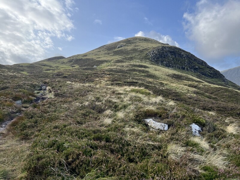
Start of the walk.


On the way up


HF


Trig and VHF


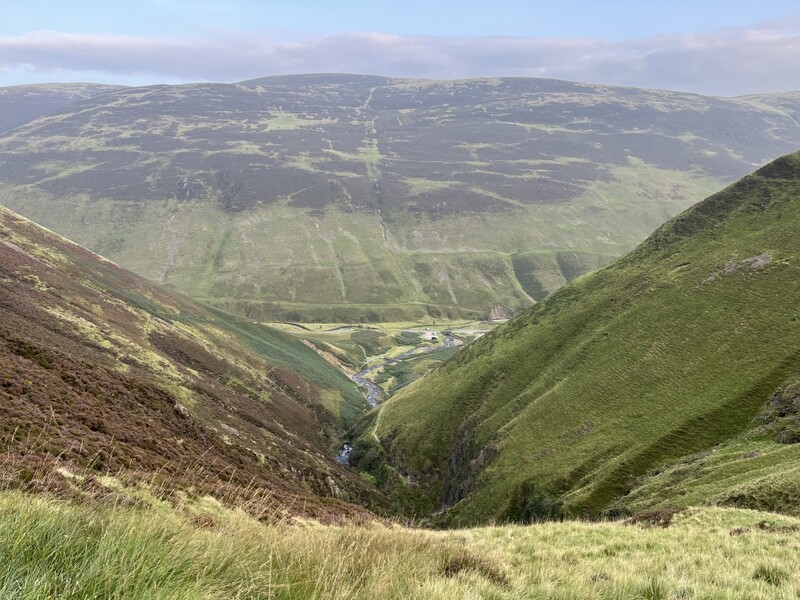
About to go down the steep bit


Coming up the steep bit, with Hartfell behind


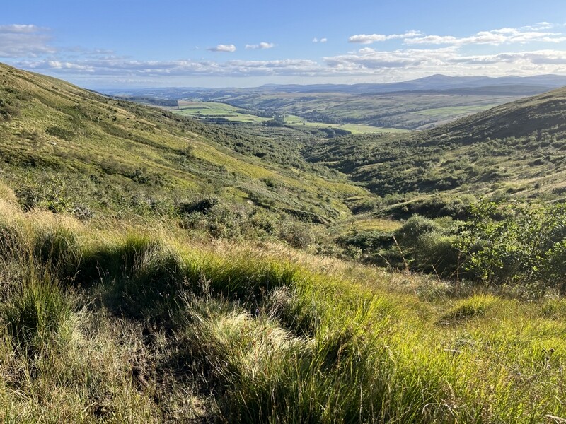
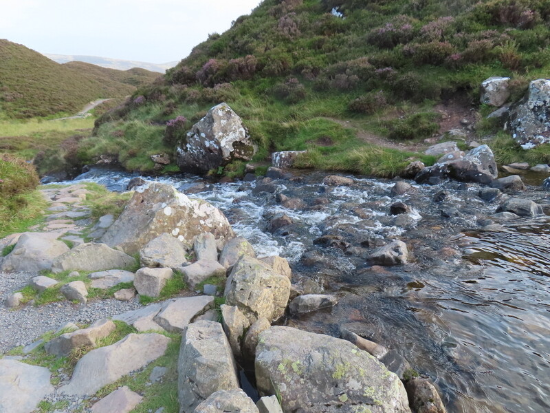
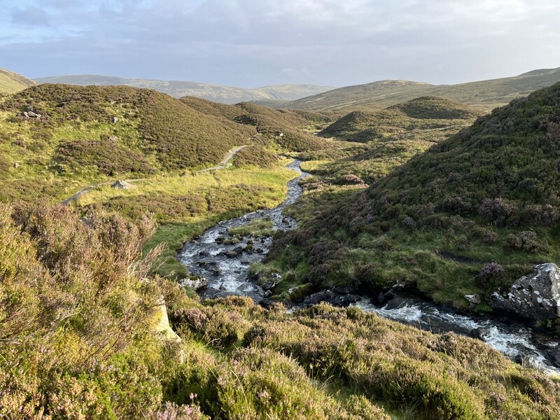
Looking down Annandale Way


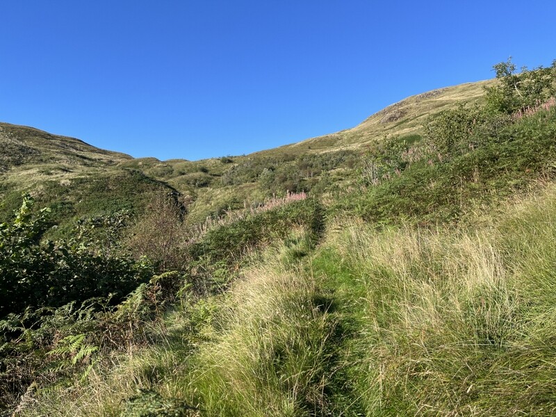
Looking up Annandale Way

10 Likes

11 September 2026: Friday: White Coomb GM/SS-030

The previous day had been a washout in terms of SOTA with low cloud and rain of varying intensity (some torrential) though we had managed a wet walk around a couple of nature reserves south of Moffat and a walk around the town.

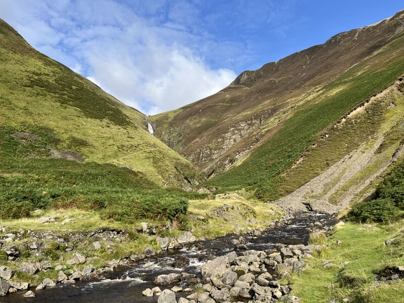
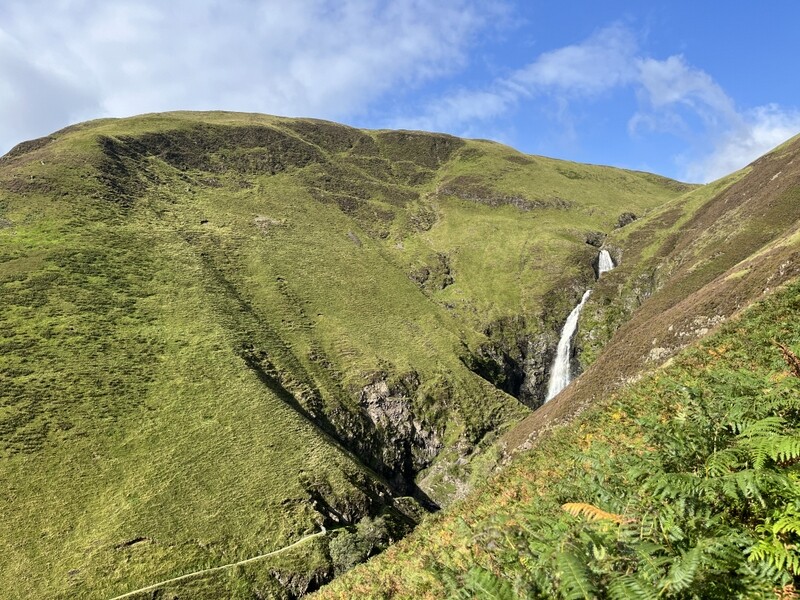
Friday was forecast to be a much better day with sun and some clouds with the possibility of some light showers. Our target was White Coomb GM/SS-030, and the sun was shining as we parked in the Grey Mare’s Tail car park – there were quite a few vehicles in the car park but there was plenty of space and we could see groups of people climbing the path on the other side of the valley.

We set off and were soon ascending steadily on that path, with stops to take photos of the waterfall. As we emerged out of the valley above the waterfalls it was noticeably windier, and we started looking for the point at which we should cross the Tail Burn to ascend by a wall. Our plan had been to cross the burn for a more direct ascent route by a wall with the option of a longer return over Mid Craig. We easily located the crossing spot, but the burn was far too high after the previous day’s rain to attempt a crossing. So we continued upwards, sometimes on the path, and sometimes heading down to the burn to look for potential crossing points. We eventually concluded there were none and continued on the path to Loch Skeen.


Start of route


Grey Mare’s Tail


White Coomb from Loch Skeen


Loch Skeen

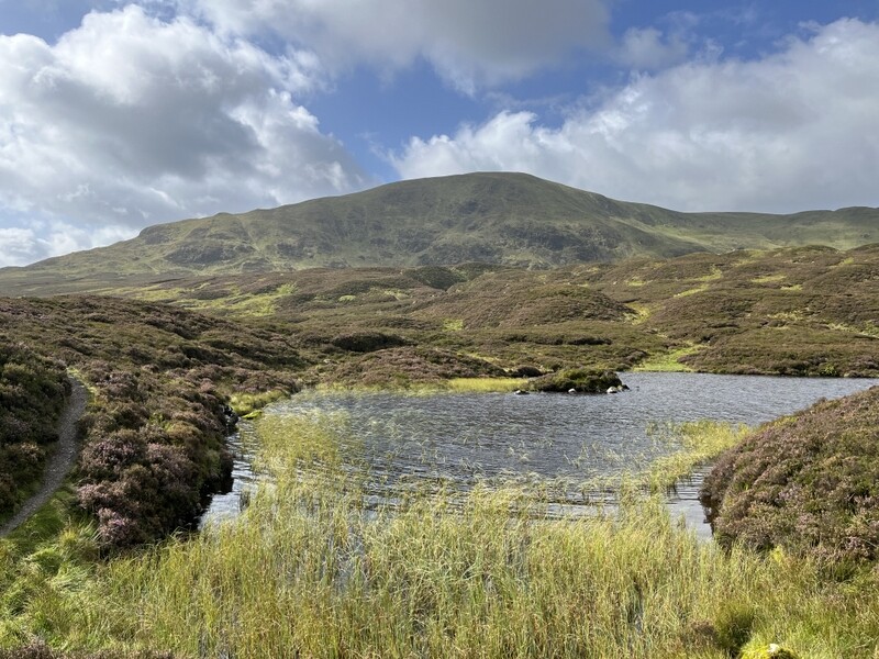
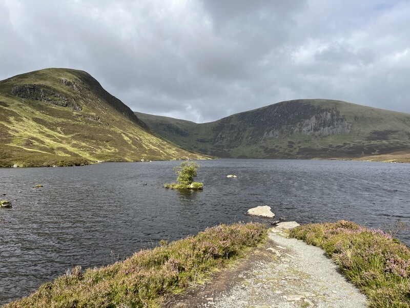
We were now using our proposed longer return route, but weren’t sure if we had time to do the longer route both ways. At Lock Skeen we still had to cross the Tail Burn as it flows out of the loch. The water was still quite high, but we eventually worked out a crossing point, which involved relying on stones under the water, but we got across with dry feet. The path around the loch was intermittent and boggy, and looking at the lie of the land we decided to try to cut across to ascend towards the col between Firthhope Rig and White Coomb. The ground in the valley of the Midlaw Burn was a bit boggy and tussocky, but once we started ascending between a stream and some craggy bits, we found some helpful sheep paths, and then curved south towards the summit.


Looking back towards Loch Skeen across pathless ascent route

Approaching the fence junction near the summit we heard Gillian MM0OVW calling from GM/SI-003; at 810m we were well in the activation area so we both worked her and Phil GM4HQB for S2Ses. We then wandered over to the summit cairn. By now it had clouded over a bit and there were signs of light rain in the distance. It was also quite blowy, and the low cairn didn’t offer any assistance for setting up stations, so we headed over to what looked to be a high point on the fence. Caroline used a fencepost to support the MFD, while Martyn set up HF in the area between fence and cairn.


Summit Cairn


HF with summit cairn in background


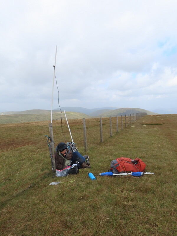
VHF

3 more 2m FM contacts and Caroline had the hill qualified. Noting a spot for Tom MM1EYP on Cairn Pat GM/SS-281, Caroline flipped the MFD horizontal, pointed it in hopefully the right direction and heard him, even better when Tom turned his beam towards us, leading to an easy S2S for both of us. Meanwhile Martyn had moved to 40m after getting just 2 contacts on 60m, gleaning another S2S with David G3TQQ on G/NP-028. Caroline then took over 40m for a bit while Martyn went to 2m SSB, which yielded another more difficult S2S with Simon GW4TJC on GW/NW-026. Another swap and Martyn managed a 40m S2S on DM/BW-003 which Caroline missed. A final 40m S2S with Gerald ON/M0WML on ON/ON-010 for both of us before we packed up to take the longer descent route. After all the station swapping Caroline ended up with 6 2m FM, 3 2m SSB and 6 40m SSB contacts; Martyn with 2 2m FM, 2 2m SSB, 2 60m SSB and 12 40m SSB contacts.

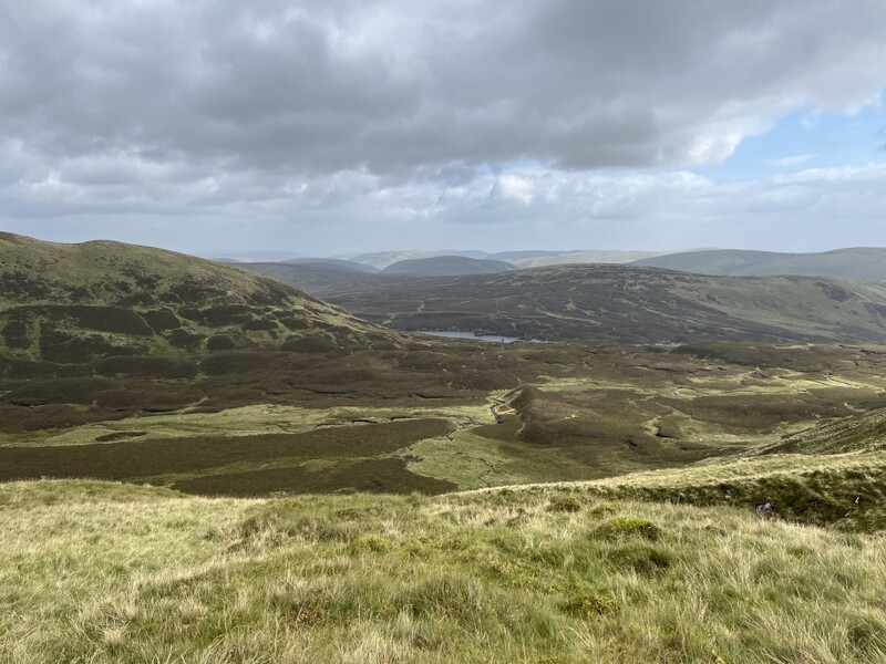
There had been a bit of drizzle at the summit but it didn’t do much and there were breaks in the cloud. We got some good views as we descended following the fenceline over Firthhope Rig and continued nearly as far as Firthybrig Head in order to get good views of the Loch Craig crags and Lock Skeen before heading down the spur of Mid Craig on a faint path. Back at the Tail Burn crossing the water didn’t seem quite as high and we found an easier crossing. There were a couple of other people by the loch, and we found a stone to stop and eat an apple before taking the good path back to the car park.


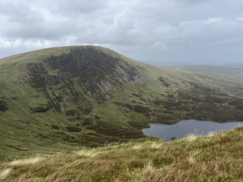
Loch Craig crags and Loch Skeen


Mid Craig


Tail Burn Crossing on way back


Path descending by Tail Burn


Looking back to car park from top of waterfalls

8 Likes

12 September 2026: Saturday: GM/SS-284 Creag na Ciche

We were moving north to our next base in Grantown on Spey. There was heavy overnight rain and it was a wet morning. The forecast was that the rain was due to stick around the Southern Uplands but was due to ease as we headed north and slightly east. We had various possible hills to activate on our way north, depending on time and weather. We passed through a mixture of rain and sun as we had a good run up the A74(M), various central belt motorways and the A9, arriving at Perth Tesco to do some food shopping about a quarter to noon. By the time we had done shopping and eaten packed lunch in the car, there were some threatening clouds but it was dry and the forecast was for the worst rain to remain further west, so we decided to try to activate GM/SS-284 Creag na Ciche.

We drove up the single track road on the south side of Glen Shee and were slightly surprised to see 2 cars already in the little car park just before the ford, and even more when another car followed us in, effectively filling the car park. It was dry as we loaded up rucksacks and we set off over the footbridge onto a narrow path which meandered upwards through bushes to reach the road on the other side of the ford. We crossed the road and followed the track opposite as it meandered uphill passing two former quarries and then running along a valley with our summit on the opposite side. A brief shower had caused us to stop to apply rucksack covers and showerproof coats, and the wind became more noticeable as we ascended.

As we approached a fence crossing where the track crossed to the other side of the valley we heard MM6DQG Ayden on GM/ES-035 Mount Blair, who we both worked for the chase. We still had around 90m of ascent to go, but hoped for a S2S. We followed the track as it looped round the north of the hill, looking for a suitable place to leave the track to ascend the final around 30m to the summit (the track fades and doesn’t enter the activation area). The summit has several rocky outcrops and we think the one with a small cairn on is the true summit. It was now very windy and we first made the S2S contact with Ayden before trying to find the most sheltered spot in the rocks to set up.


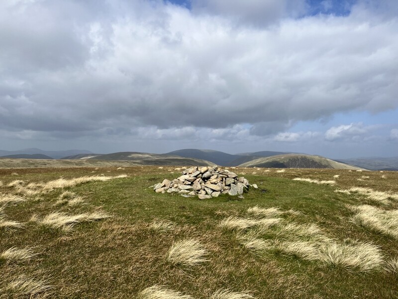
Probable summit cairn

Caroline ended up with the VHF dipole lashed to the rocks at an odd angle and only managed 2 other VHF contacts, so moved to 40m after Martyn had qualified with 5 contacts on 60m. Conditions didn’t seem good and it all went quiet after 5 40m contacts in 5 minutes; after a few minutes fruitless calling a search and pounce of a Churches on the Air station added one more 40m contact. We didn’t have time to do more bands as we still had over 100 miles to go to Grantown on Spey, so retraced our route, leaving Glen Shee just over 4 hours after we arrived.


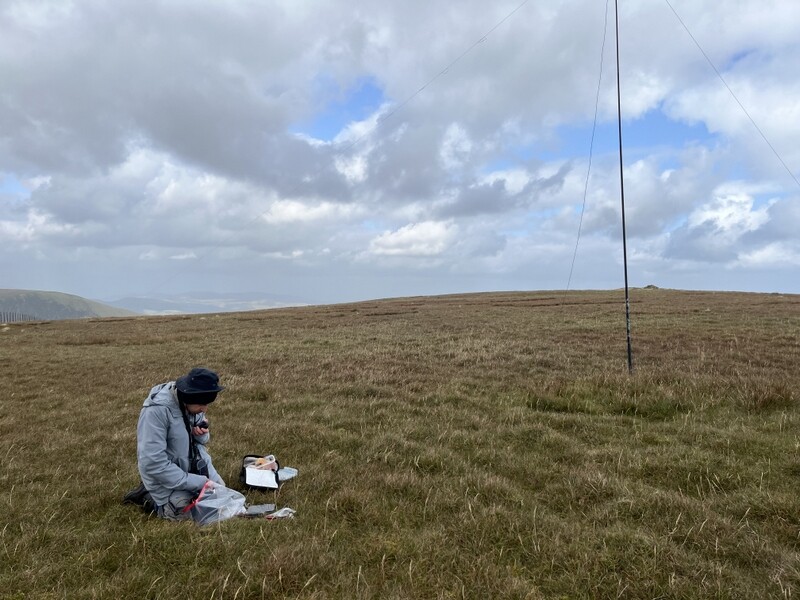
VHF


HF with Martyn


HF with Caroline


Creag na Ciche from other side of valley


Creag na Ciche from car park

8 Likes

13 September 2026: Sunday: Meikle Conval GM/ES-051 and Little Conval GM/ES-057

The weather forecast for the week ahead was rather mixed, but this was definitely the best day, with little probability of rain and windy enough to keep midges away, but not too windy for antennas. We decided to do the Convals using the route from the south recommended by Alex GM5ALX. The Ben Rinnes car park was pretty full when we got there, but we managed to squeeze onto the end of one of the parking areas, partly on the grass. It was sunny with some broken cloud as we set off.

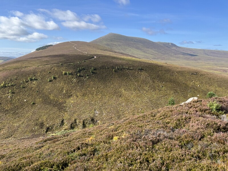
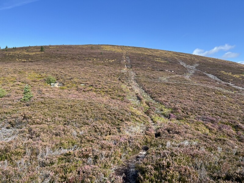
There were lots of people going up the Ben Rinnes path, but we needed to locate the narrow path heading up Meikle Conval GM/ES-051 through the heather in the opposite direction. We walked down the road to almost opposite the Ben Rinnes track where the path started. It started steep and only just wide enough as it ascended through heather and we got hot as we climbed. Passing over the first of several false summits the gradient eased, the track widened and a rapidly moving group of people with dogs came down – glad we didn’t meet them on the steep narrow bit. The path narrowed again as we continued up to the summit.


Ben Rinnes from ascent of Meikle Conval


The wider bit ascending Meikle Conval


Meikle Conval summit coming into sight

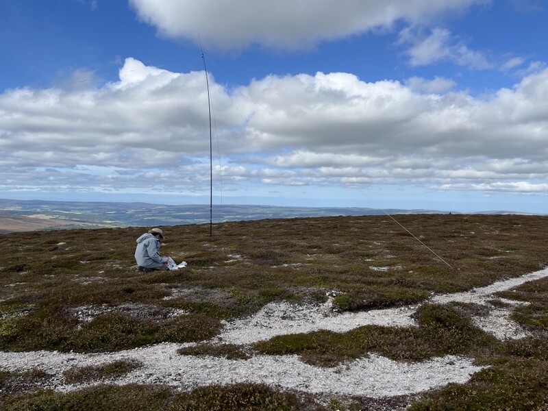
The flattish summit had a covering of low heather over a fine white stony surface, with plenty of space to set up HF. It was mostly sunny when we arrived and there were good views, with Ben Rinnes dominating the view south. There was a cairn at the summit which had suitable stones and hole for Caroline to use it to support the MFD. Arriving at the summit we heard Denis MM0CBC on GM/CS-081 who we both worked for a 2n FM S2S. Once set up Caroline had a further 8 2m FM contacts plus 5 70cms FM, interrupted only by a trip- over to the HF station where both of us worked Jake M0PVC on G/NP-011 for an S2S. Martyn managed just 2 60m contacts with 8 on 40m.


HF on Meikle Conval


VHF on Meikle Conval


Meikle Conval looking back to Ben Rinnes

Having eaten lunch it was time to move on to Little Conval GM/ES-057. It had partly clouded over but was still a pleasant day as we descended on a mostly better defined track, which became a bit less distinct in the col between the two hills. There are two paths heading up Little Conval: a slightly more easily graded track that zigzags up the hill, and a narrower path that goes straight up. We took the track on the way up.

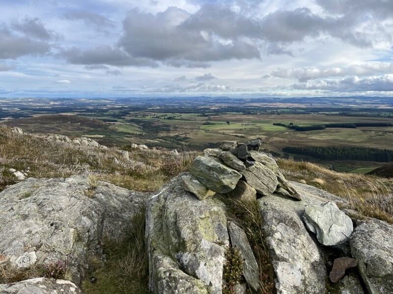
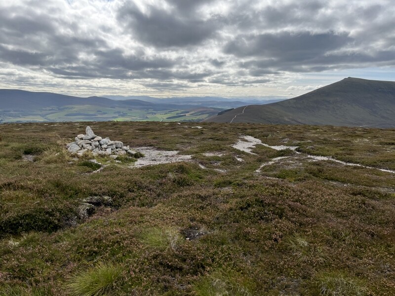
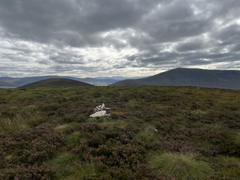
The summit has hill fort remains at the top, but they are mostly only visible as a few scattered rocks as the track runs along the west side of the fort area. The true summit is in the middle of the hill fort area, and we left the track to find the small cairn marking the summit. However it was surrounded by medium height heather with boggy areas and little pools, so we decided to head towards the trig point on the northern edge of the hill fort area for somewhere to activate.


Little Conval summit with Meikle Conval and Ben Rinnes


Little Conval trig and cairn

The trig point had a suitable hole for supporting the VHF MFD, but the heather was deep enough to make HF a bit trickier, but Martyn found somewhere that didn’t cross paths, although we ended up operating from by the path – nobody came by! Caroline started reasonably well with 2 FM contacts on both 2m and 70cms, but then silence. Martyn did much better on 60m SS with 6 contacts, so then handed over HF for Caroline to have a good run of 17 contacts on 40m SSB, starting with S2Ses with Fraser MM0EFIon GM/SI-020 and Tom M1TJM on G/LD-043. While Caroline ate an apple and called fruitlessly on 2m FM, Martyn then took over HF for 7 contacts on 20m SSB including a difficult S2S that Caroline couldn’t make. As we were about to pack up, we saw a spot for Jake on his second summit of G/NP-022, so a quick change of links and we both had a final S2S.


Little Conval VHF


Little Conval HF with VHF behind

The earlier clouds had thinned leaving some interesting skies as we descended. We took the more direct route down, which was a bit narrow between vegetation at times but a pleasant alternative. Back at the col we took the forest track which slowly descends along the western flank of Meikle Conval. Much of the forest has been felled and the afternoon sun had come out and we soon started overheating as we had lost most of the breeze. There were a few midges as we reached the trees, but we just kept moving. Back at the road away from the trees there was enough breeze to keep the midges away as we made our way back to the car. A nice couple of hills.

9 Likes

15 September 2026: Tuesday GM/CS-120 Brown Muir,

There had been heavy overnight rain and it was still raining as we ate breakfast. The forecast was the worst of the week, predominantly rain, but with some breaks and possible sunny intervals.

By the time we were ready to go out it had brightened up and there was no rain. Even though more rain was forecast we decided to head north to GM/CS-120 Brown Muir, which appears to have a track all the way to the transmitter station at the summit, so should doable in poor visibility. We aimed to combine this with a visit to Elgin for some shopping and possible touristy stuff.

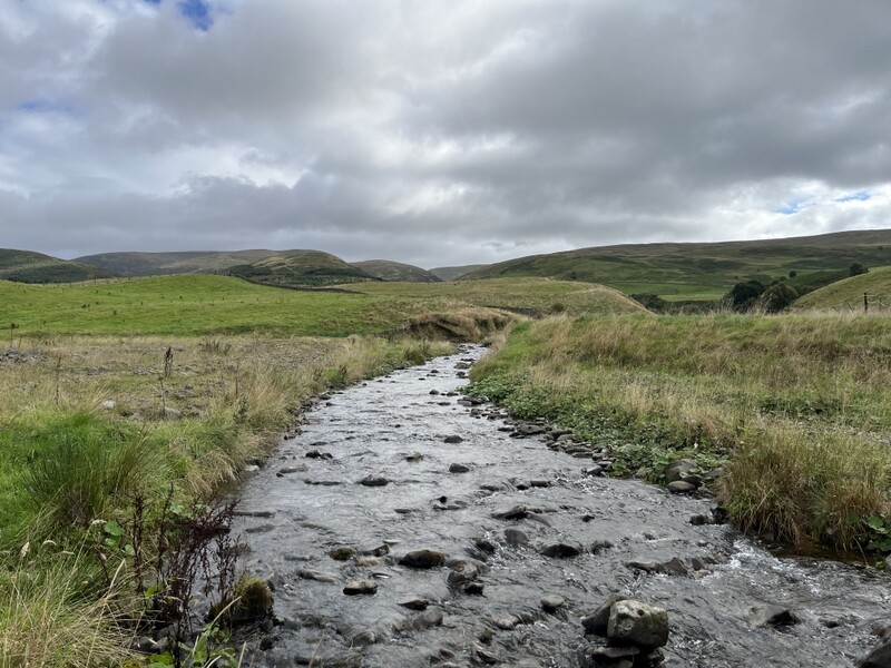
The rain restarted as we drove north, and was sometimes heavy. It was still raining when we reached the parking spot at the end of the public single track road at NJ275563. Tracks went to left and right and less obviously straight on. We pulled in tight on the northeast corner of the junction, think we had allowed plenty of room for vehicles to come past. The rain eased to be light so we decided to tog up in full waterproof mode, and were almost ready to set off when an enormous articulated lorry appeared from the track to the east. Although we thought we had allowed plenty of space it wasn’t enough for something that big to turn, so he asked us to move, suggesting the area to the southeast of the junction. Driving carefully as he now had boots on Martyn moved the car onto an area of rough ground, not blocking any gates.

We then set off past a locked gate on the west track. The wet track had sections with running water as it curved around the ruined Moniemouies farmstead. We went over a stile with a notice about there being there being a bull with cows and calves in the field (thankfully none seen) and over a stream. The wet track continued along a field edge before turning into a stream itself. The rain continued with varying intensity. Turning another corner to ascend the ridge the stream crossed from one side of the track to the other, and we crossed from side to side many times to avoid fastest and deepest bits. Visibility was often less than 100m.

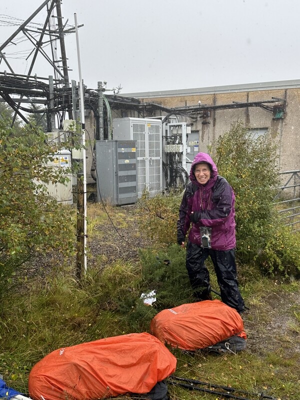
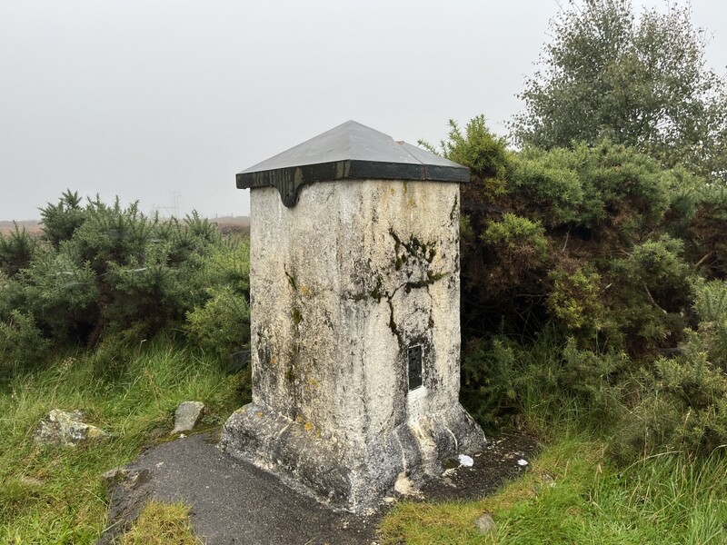
There was no sign that any 4 wheeled vehicles had recently used this sometimes deeply rutted track to get to the transmitters, and as we got higher gorse was growing up the middle of the track. Descending from the northern subsummit the track to the true summit was completely flooded in the bottom of dip. We managed to find a way through on boggy ground to one side for the final ascent, when the transmitter tower and associated building appeared out of the mist. Passing the building we spotted the square sided “Lossiemouth” trig in the corner of fences: it has a curious cap on top, which looked as though it had a plastic box inside – possible geocache, but we didn’t investigate further.

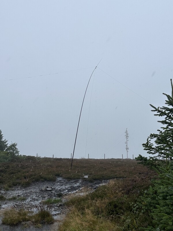
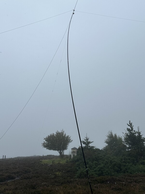
It was still raining, and the wind at the summit was making it unpleasant. We wanted to get the activation done and get down, so tried to do a 2m FM only hit and run, supporting Caroline’s rucksack antenna on a pole attached to a fencepost. Given previous experience in this area, Caroline didn’t have high hopes, but was pleasantly surprised to get 3 contacts for both of us in 5 minutes. However that was it despite a self-spot and lots more calling. The rain was getting heavier – did we quit having got the unique or try HF to get it properly qualified? Martyn decided to try to get HF up in the relatively tight space between the transmitter compound and other fences, while Caroline continued calling on 2m. There was to be no 60m today, just 40m for both of us. After 5 contacts for Caroline and 7 for Martyn in 5 minutes there were no more callers and the rain became torrential, so we packed up as fast as possible. Everything was very wet. Lunch stayed in the rucksacks.


GM/CS-120 Brown Muir “Lossiemouth” trig point


GM/CS-120 Brown Muir VHF


GM/CS-120 Brown Muir HF


GM/CS-120 Brown Muir HF and trig

We descended the same way. The track/stream was now even more fast flowing and extensive and we were very wet when we got back to the car. Water had got through several layers, but Caroline’s waterproofs and boots seemed to have worked slightly better than Martyn’s. He was wringing water out of his socks as we changed into spare socks and trousers in the car. A very late lunch was eaten in a steamed up car.

In terms of rain and poor conditions we tend to compare activations against our 2008 activation of GM/SS-155 Hill of Stake, which was memorable for getting very wet in heavy rain, with some concern that streams might not be passable on the way back down. This one came pretty close – Hill of Stake had the advantage of being close enough to the central belt to be able to do a hit and run activation on 2m FM so we didn’t have to stay as long at the top!

By the time we got to Elgin to do our shopping the rain was light. We were thankful that the cottage had good heating and radiators where things could be laid out to dry. Martyn’s boots were still wet the following morning, but Caroline’s had dried out, but in both cases we decided to swap to our spare boots for the next few days.

10 Likes

16 September 2026: Wednesday: GM/ES-041 Carn a’Ghille Chearr

Martyn’s boots were still wet after yesterday’s drenching, but we both swapped to the spare pair even though Caroline’s had dried out, since her spares were new ones not yet tested on proper hills.
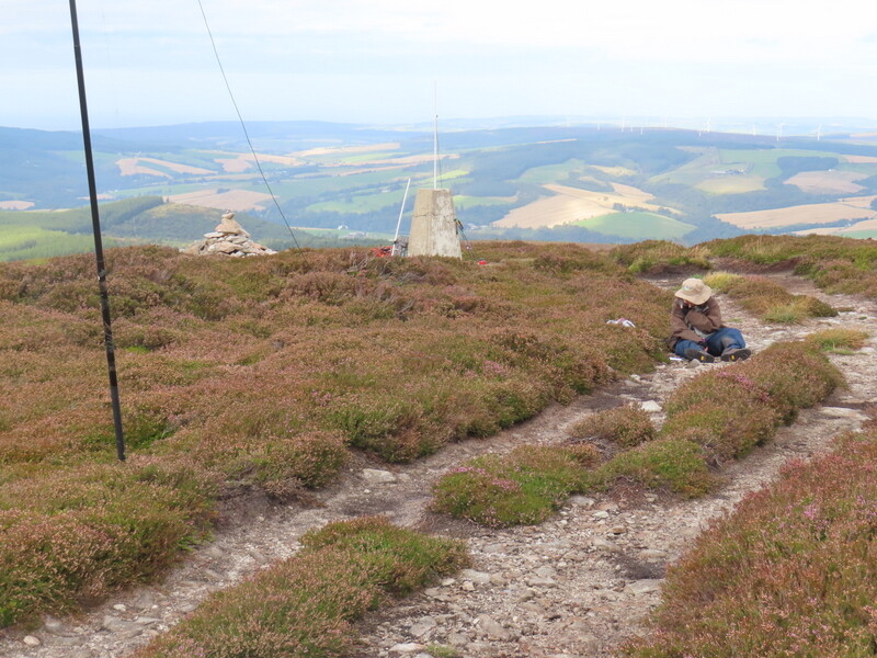
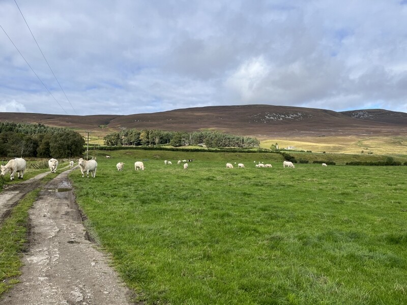
The forecast was for dry until about 6pm, with some cloud, but that was mostly at or above Munro level. We headed towards the Cromdale Hills. Caroline had prepared a long circular route that took in both GM/ES-038 and GM/ES-041, but we wouldn’t have time for that so we did just GM/ES-041 Carn a’Ghille Chearr as a there and back. We parked in the little Glenlivet Estate car park just north of the little bridge near Mains of Inverourie. A signed path leads north along a track before turning left through fields of white cattle, cows, calves and bulls, but thankfully they showed little interest in us. The track continued round to the partially ruined farmstead at Knock, where builders were working on what looked to be going to be a nice renovation of the farmhouse. Turning left past the house the track ascended past a pond and meandered up the hill, crossing a ford. The sun had now come out and we started overheating as we climbed. Around the 450m contour the 1:25000 map shows a track going off which might have provided a shorter route, but with little to see on the ground we stuck to the main track. At another track junction around 510m we took the righthand track which eventually faded away, after which we found various intermittent faint paths through boggy and peat haggy bits until picking up a slightly better defined path along the ridge.

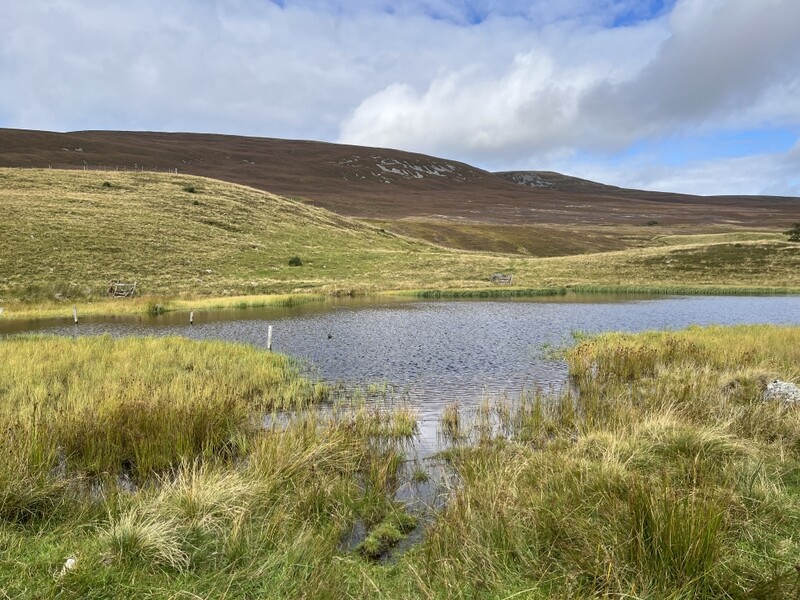
River Avon near parking area


White cattle with our target to right


Pond


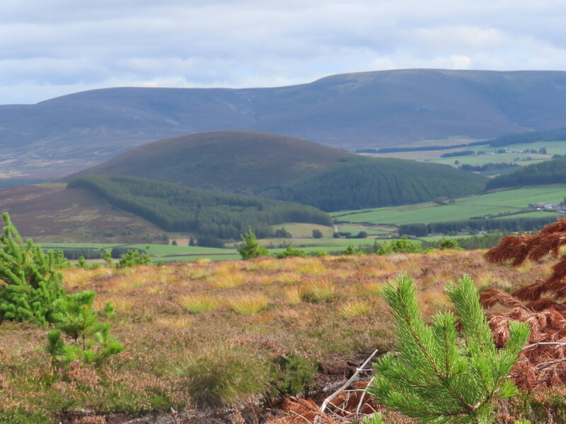
Looking back along Strath Avon on good part of track

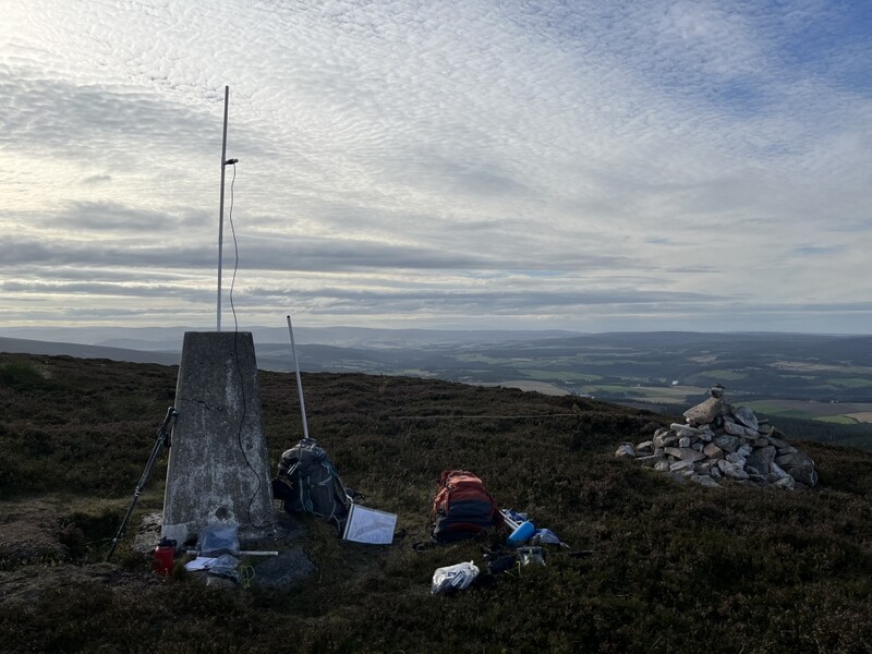
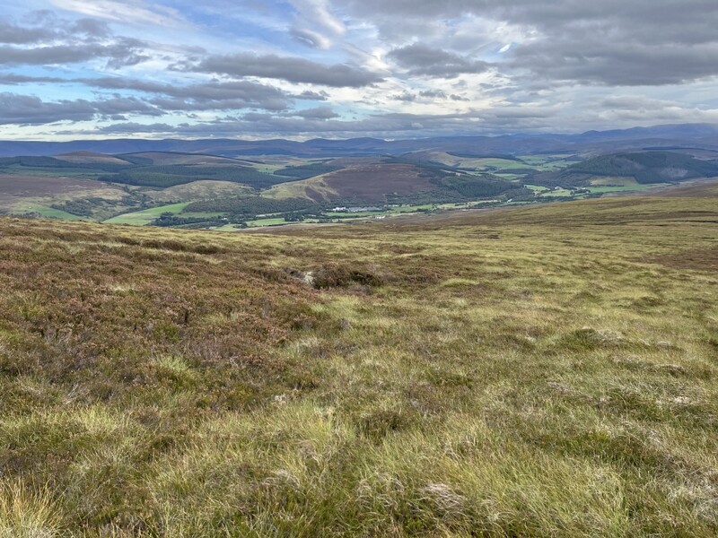
Approaching Carn Eachie we heard Denis MM0CBC calling from GM/CS-038. Although around 1km from the true 710m summit, Carn Eachie is over 700m and the ground between is all above the 690m contour, so we grabbed a 2m FM S2S. Continuing along the almost flat ridge, the path disappeared in boggy areas, but then reappeared as a good track to the trig point. The only shelter on the flat summit is the trig point, and there was a cooling breeze which increased while we were at the top. Having overheated earlier on the climb we now needed to apply extra layers.

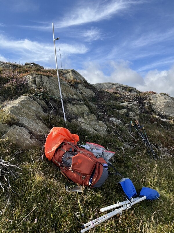
The trig point had a suitable hole to support the MFD, so Caroline set up by the trig, using the trig itself and her rucksack to provide a bit of wind shelter. However, she only got one contact from there on both 2m and 70cms FM. HF was a bit more exposed. After Martyn had run out 60m callers after 3 contacts, we moved to 40m, both working a few stations before Caroline ran on 40m for 15 contacts while Martyn ate lunch. Martyn tried 20m while Caroline ate her lunch, only getting 3 contacts, but 2 of them were 2S2es which Caroline also grabbed. A link change back to 40m and we chased Ed M0KEC and Kevin M0KXN on G/WB-016, and another link change to 15m and we chased CU/SM-005 before packing up.


GM/ES-041 Carn a’Ghille Chearr


GM/ES-041 Carn a’Ghille Chearr - HF with Ben Rinnes in background


GM/ES-041 Carn a’Ghille Chearr - VHF

We roughly retraced out route back, and got back to the car and unloaded in the dry. We hadn’t seen anyone else all day once we passed the builders on the way up.


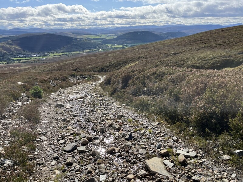
Faint descent path

There was some rain as we drove back to Grantown. Back at the cottage, the rain was only light, so we ventured into the town centre to investigate what was there. A fish and chip shop within 100m of the cottage noted for later in the week.

10 Likes

Good report - been there many times.

I am surprised you didn’t have a visit from the Reindeer - they would sell their souls to get some of your lunch

2 Likes

No sign of any Reindeer, just a few scattered sheep on the open hill and none near the summit. The only time we’ve encountered reindeer was on GM/ES-027 Meall a’Bhuachaille a few years ago.

2 Likes

I think that might have been with me. I was on Schiehallion with just a handheld and whip antenna. We just couldn’t exchange signal reports with signals dropping out. Frustratingly you would have been my fourth contact to activate the summit…

1 Like

It almost certainly was you: Looking at my paper notes I had GM4 and the TC but never managed the full callsign! It’s annoying to miss qualification by one contact, but at least you got it as a unique.

2 Likes

Resuming reports after other priorities have been getting in the way.

17 September 2026: Thursday: GM/ES-052 Carn Daimh

The forecast was far from ideal: due to be windy, starting dry but with bands of rain from mid-morning onwards. Caroline had originally planned to do GM/ES-052 Carn Daimh and GM/ES-066 The Bochel on the same day, but given the forecast we decided to just aim for the more interesting looking Carn Daimh.

It was dry when we arrived at the little Glenlivet Estate Clash Woods Car Park (NJ208265). Caroline put on over trousers, but we started off without waterproof tops or rucksack covers. We took the yellow waymarked route, initially through woodland and then on a track ascending slowly along a valley. A zigzag crossing of a ford led to a rough track through a little wood and another ford onto a track through pasture. As the track climbed towards woodland the wind became more noticeable, and it suddenly started raining, so a quick stop to apply waterproofs and rucksack covers.

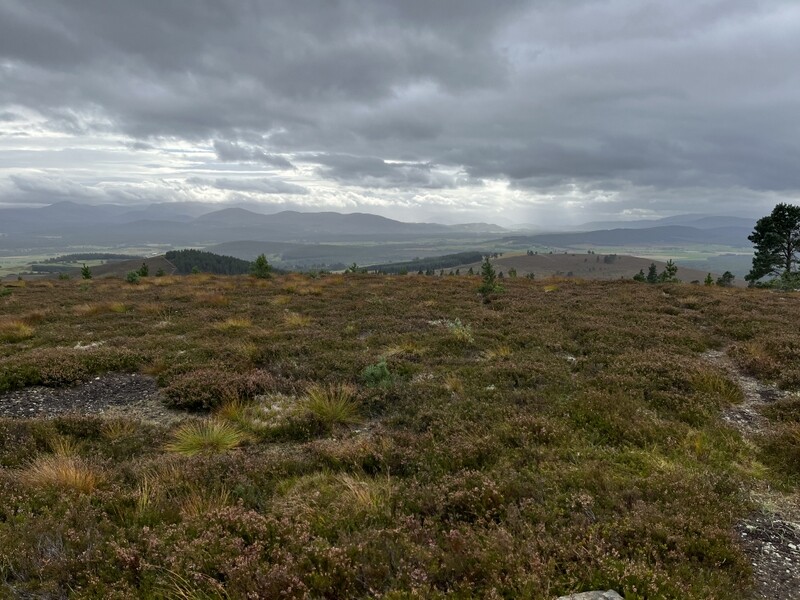
We started to overheat as we ascended to run alongside woodland and then enter it – relief from the wind. The rain eased as we turned to join the Speyside Way, descending from Cairn Ellick before turning to ascend the ridge to Carn Daimh. The shelter from the woodland is lost as the path leaves the wood for the final ascent. It was hard going against the wind, and even worse at the summit where even standing still was difficult. After a few photos of the cairn and toposcope we dropped down on the slightly sheltered eastern side to look for somewhere to activate.


Ascending Carn Daimh


Carn Daimh towards The Bochel


Carn Daimh cairn and topscope

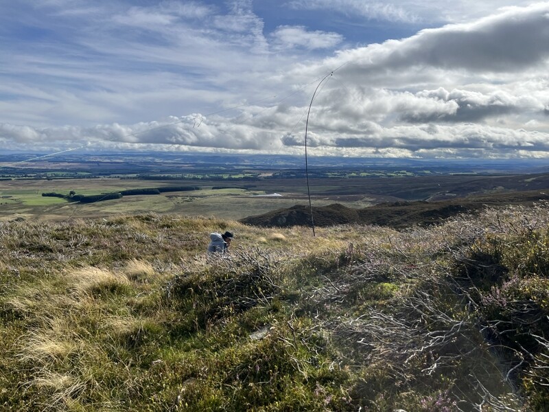
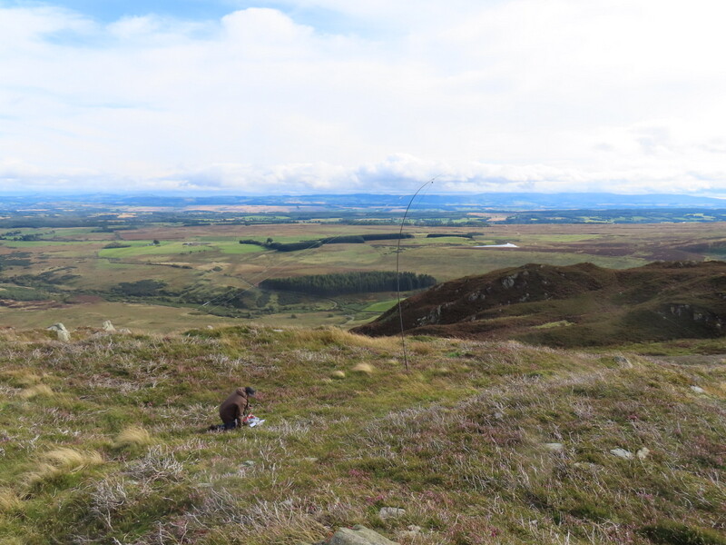
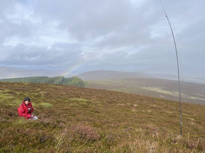
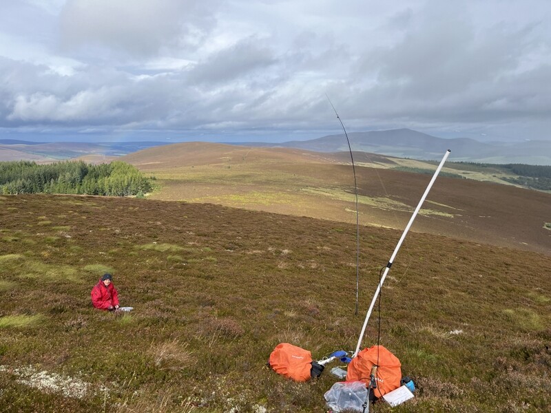
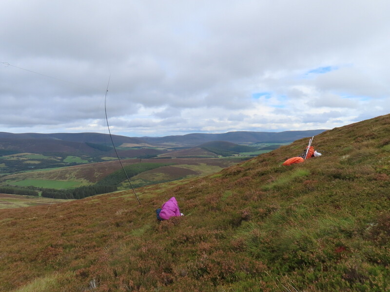
It was still windy, so Caroline didn’t risk the MFD, just putting the rucksack antenna on an extension pole. Being below the summit with a suboptimal setup she didn’t expect to do well, and got just two difficult 2m FM contacts – 33 being the best report received. Martyn didn’t do any better on 60m, so after 15 minutes we decided to share 40m SSB with Caroline taking the lead. Caroline got 18 contacts and Martyn 9, which included chasing 3 S2Ses once Caroline’s spotted frequency had dried up. There was some rain when we were operating, including a partial rainbow, but it stopped by the time we packed up.


Operating with rainbow


Both stations with Martyn


Both stations with Caroline

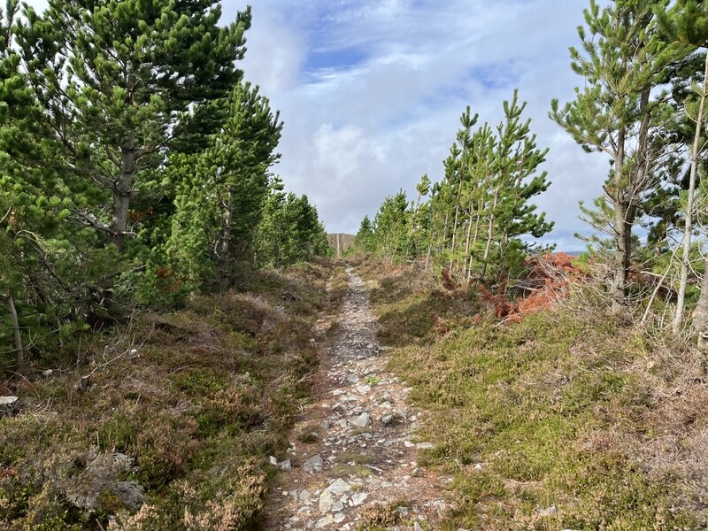
We braved the wind again as we returned to pick up the Speyside Way to descend northwards, but some got some wind shelter as we descended by trees. Leaving the Speyside Way we continued on the yellow waymarked path over heather moorland and along the edge of woodland to reach Clash Woods. It had remained dry on the descent so we extended the walk by taking the red waymarked path through Clash Woods, finding a seat in the shelter of the trees to sit and eat an apple.

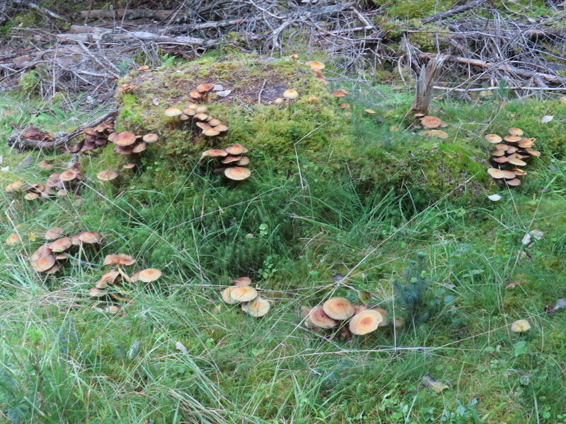
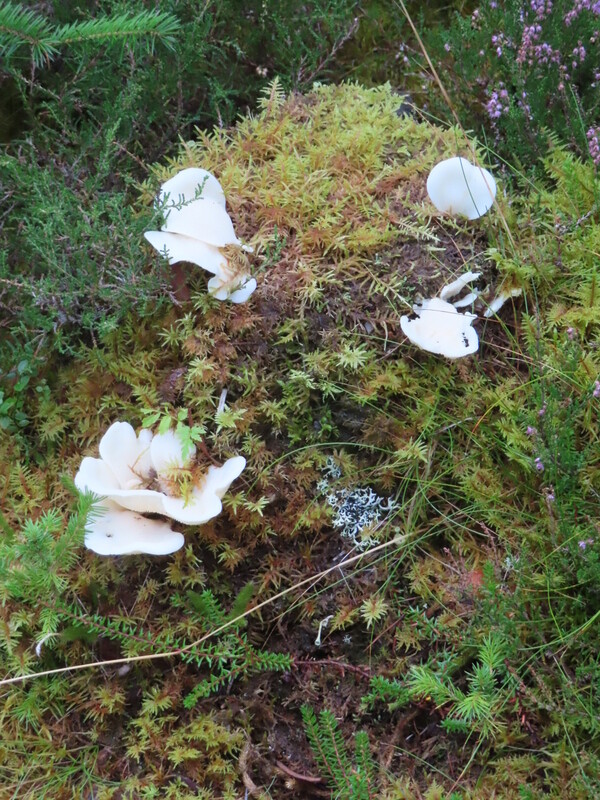
One of the features of the walk was the number and variety of fungi seen: the full range of colours through yellow, orange and brown to deep brown as well as white, grey, pink and red. On the way out there were so many that stopping to photograph them would have delayed us too much, so we only ended up photographing a couple in Clash Woods at the end.


Clash Woods fungi

Despite a forecast of heavy afternoon rain, it remained dry all the way down and on the drive back to the cottage. A pleasant summit and a nice walk – recommended, but ideally with less wind.

3 Likes

18 September 2026: Friday: Beinn Mhor GM/CS-112
Our last day based in Grantown and again the weather forecast was unhelpful: windy, but not as bad as yesterday, but with rain due around lunchtime. We had originally hope to do both GM/CS-105 and GM/CS-112 on the same day, but for the second day running settled for just one. We chose Beinn Mhor GM/CS-112 as GM/CS-105 was a longer walk which looked to require more serious heather bashing, which we didn’t fancy in the wet!

It was dry as we parked up in a little disused quarry at the end of the public road in Glean Beg (NJ012276). As we got ready to leave a van towing a trailer of plants drove by, continuing across the stream and along the track up the other side. We walked up the track passing Glenbeg and into the woods beyond, as we reached the smart new looking gate from the woods onto the moorland, another vehicle with a trailer full of plants appeared and continued on the moorland track. Near the gate was a notice about forest regeneration going on in the area.

We had expected to need to leave the track to find our way up to the summit, but at the high point of the track there was a churned up area with a couple of vehicles and piles of containers with various different varieties of plants in them. Leading away from the work area was a rough and sometimes muddy quad bike track going up the hill, which lead almost to the trig point.


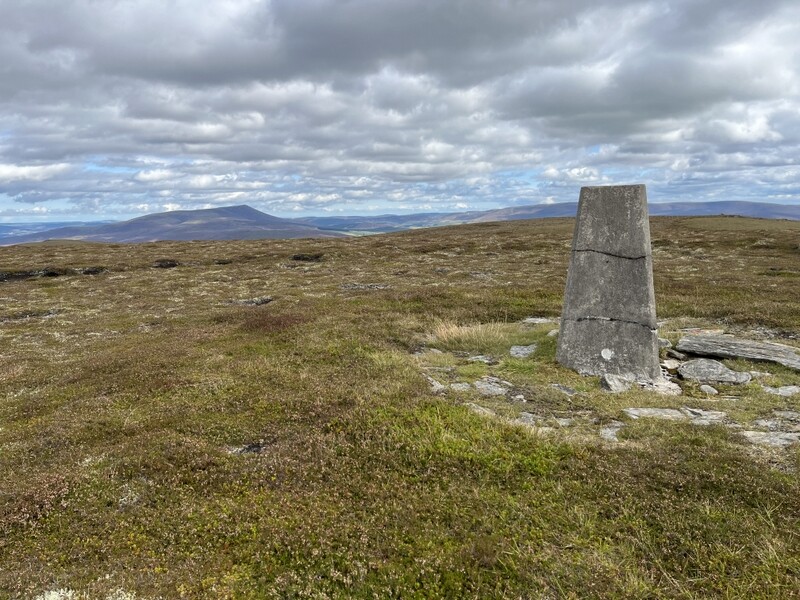
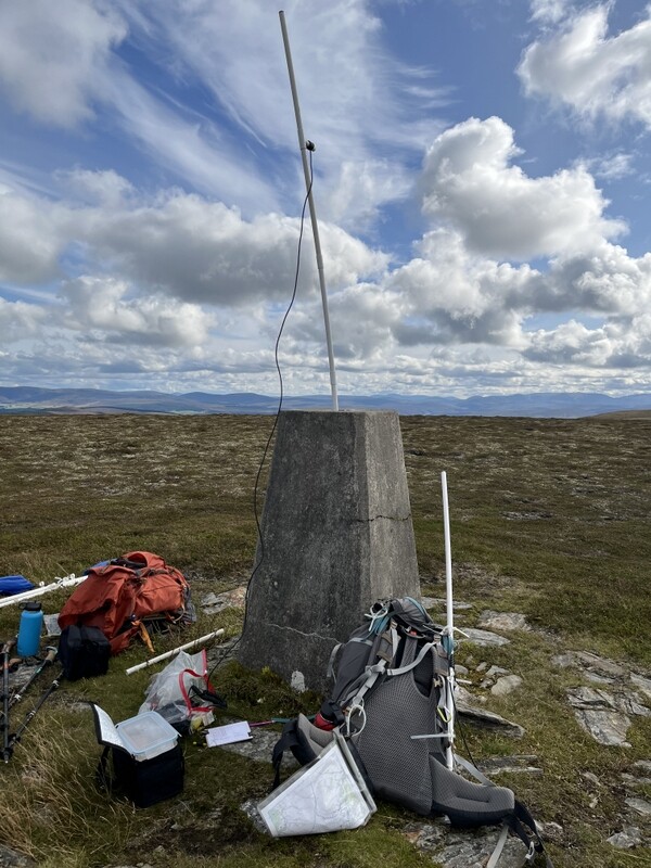
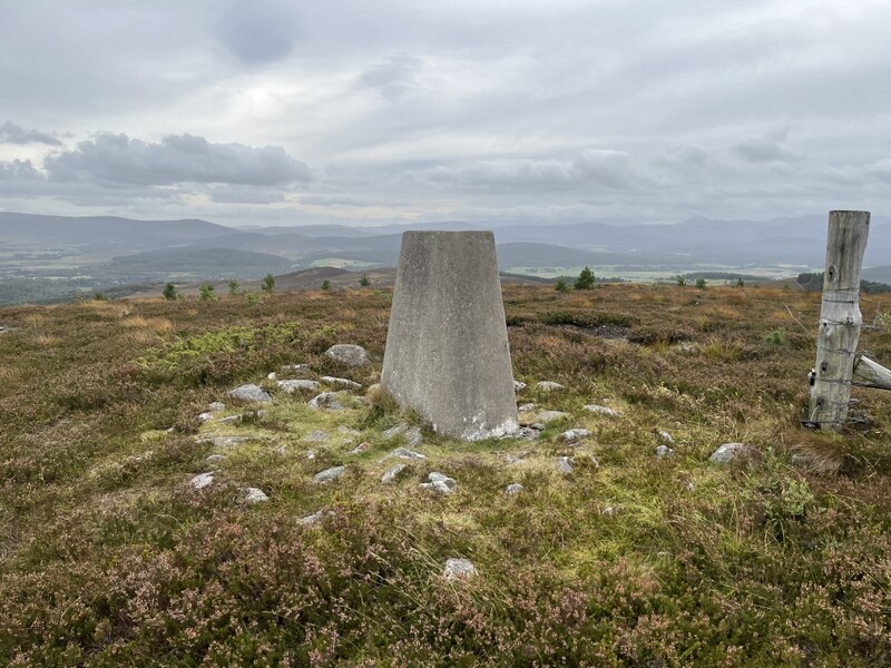
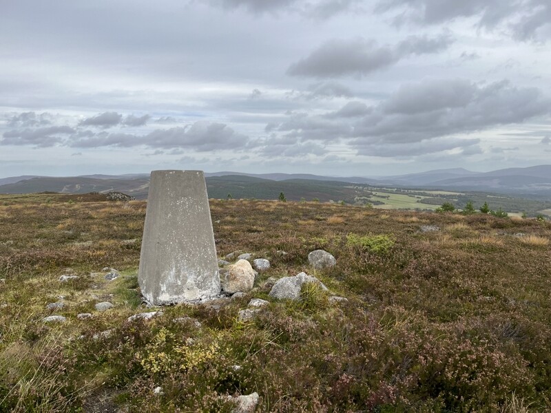
Trig point on GM/CS-112 Beinn Mhor

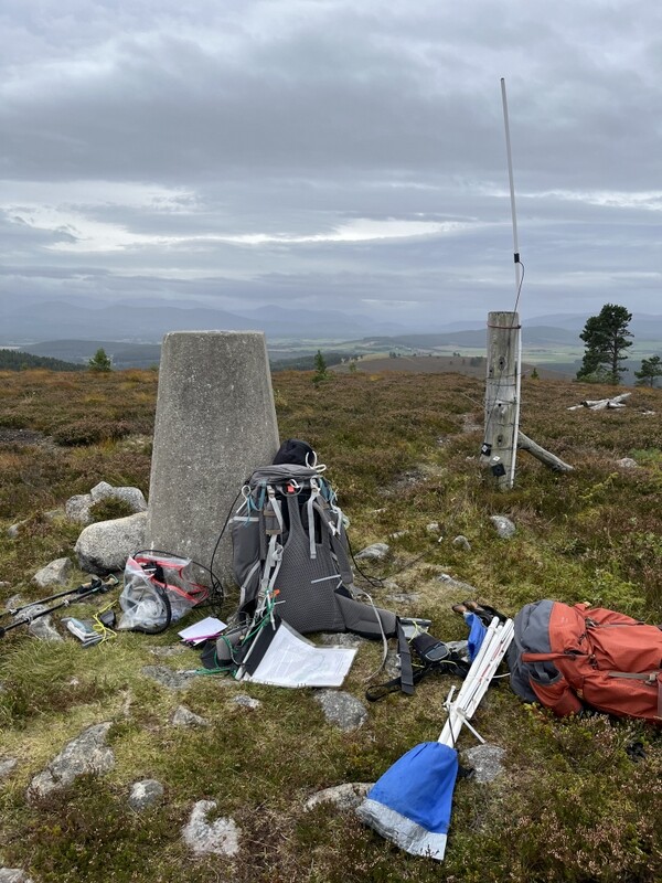
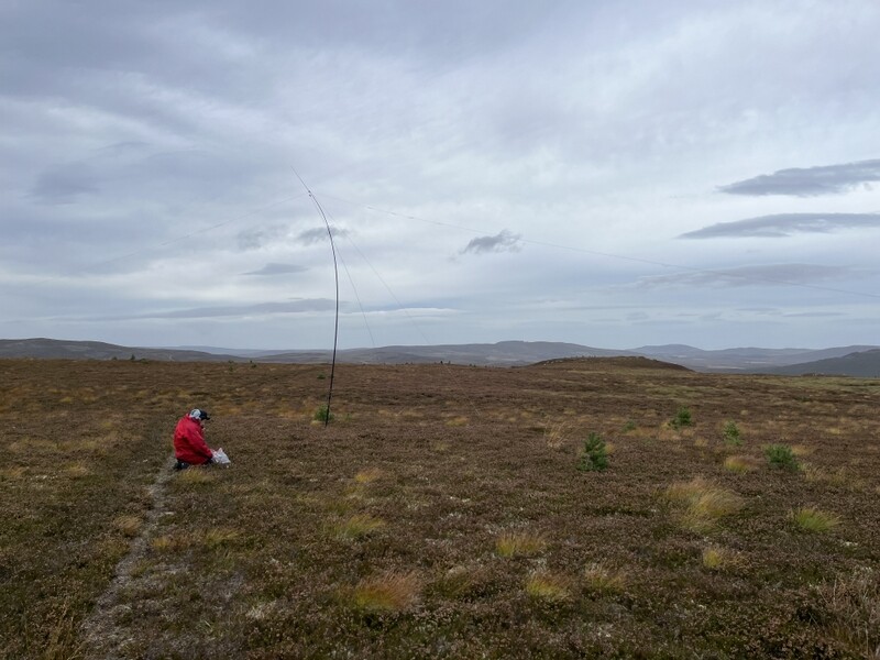
The ascent had remained dry but overcast and we could see distant rain. As expected, it was windy. There was plenty of space on the flattish top to set up HF. But the only shelter was the trig point. There was no hole in the trig point, but a fencepost a little way away provided support for the VHF rucksack antenna on an extension pole – too windy for the MFD. Caroline used an extension feeder so she could operate sheltering behind a combination of trig point and rucksack. She didn’t expect to do well on VHF from this little hill, but we were surprised to start with an S2S with Denis MM0CBC on GM/ES-078 – quite a lot of hills between us, but nothing beyond that. After Martyn has qualified with 6 on 60m, we noted a 40m spot for Jordon on G/SB-010 Housedon Hill, so a quick change of links and we had the S2S, after which Caroline carried on getting 17 40m contacts.


GM/CS-112 VHF setup


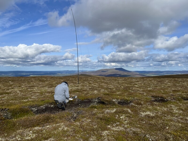
GM/CS-112 HF setup

By this point we had realised that we weren’t alone on the hill, as a quad bike was zooming distributing plants from the pile by the track to various points on the hill. Clearly part of the regeneration project, and we spotted some areas where small trees and shrubs had been planted among the heather. We had slight concerns he might not see our wires, but there was no problem.


GM/CS-112 Beinn Mhor with some of the scattered trees already planted

With Martyn’s lunch eaten, Caroline passed HF for him to try 20m, while retreating to the little shelter of the trig point to eat her lunch – it was providing sufficient shelter she didn’t initially notice when it started raining. She managed one more 2m FM contact, Martyn getting just 4 on 20m, but including an S2S for both of us. It was damp as we packed up and started on our way down. Part way down to the plant distribution area, Caroline realised that in her rush to pack up in the rain she had forgotten to remove her bungees from the fencepost – thankfully it had stopped raining as we reascended, reclaimed the bungees and headed back down.

Having re-entered the woods we stopped by a junction to remove waterproofs as we were overheating and the rain had stopped. Given the improving weather we turned left to take a longer route down. We had seen lots of pheasants on the way up, but now they were everywhere with several pheasant feeders by the track. It was a pleasant walk.

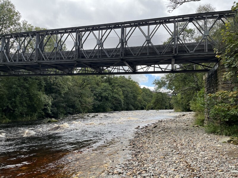
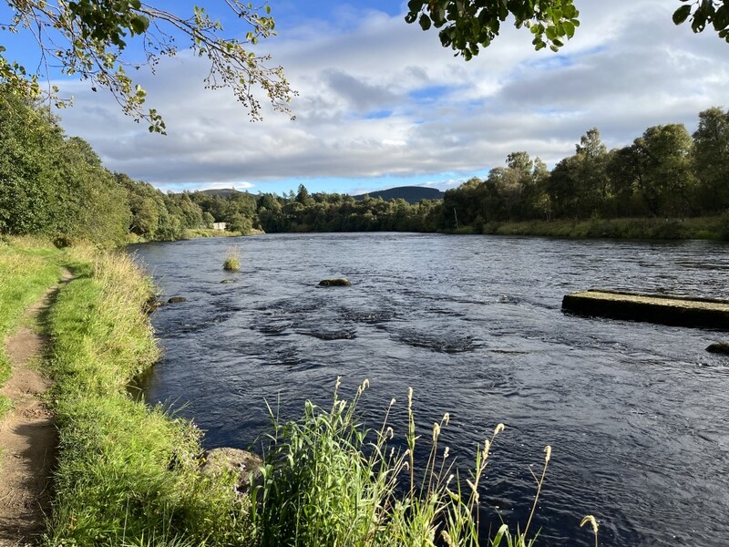
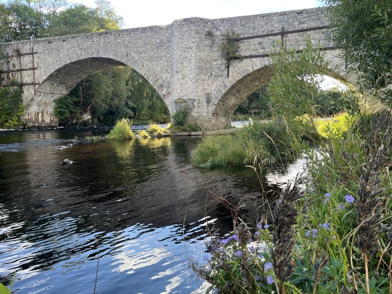
We didn’t have time to fit in another summit, but as it had turned into a lovely afternoon, we had a pleasant walk along the River Spey down to the Old Spey Bridge and through the Anagach Woods. This is the second time we’ve used Grantown as a base for a SOTA trip, and there are still more summits within easy reach that we haven’t activated yet, though some of them may now be beyond our aging legs. It has been a good base.


River Spey

Old Spey Bridge

Reports on some GM/SS summits still to come.

2 Likes