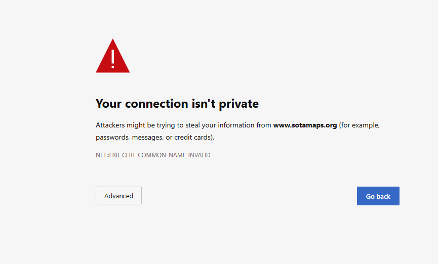
Those of you who are logging into SOTAMaps for the first time today will be greeted with a redirect to SOTAData, complete with a new format and now with incorporated mapping and track upload facilities. All SOTAMaps URLs are now redirecting to the incorporated mapping as DNS updates slowly propagate.
The retirement of SOTAMaps is something of a bittersweet moment. It has served its function extraordinarily well from its creation by Rob DM1CM, before passing into the stewardship of the SOTA Management Team when Rob opted to retire from maintaining the system. Since then, maintenance has been a particular burden, as the old software, written in PHP, was unable to be updated to newer versions, and slowly started to rot.
The fact it was written in PHP should be a clue to why there has been a push to finally move us off this older version, and over the past four weeks or so, I have spent most of my waking hours working on getting maps and track upload/editing into a format that approximates (and hopefully surpasses) what was there beforehand. The urgency too has been why a wider beta testing program has not been available as per several of our previous releases.
We still have the traditional range search functions that are particular to SOTAMaps as well as adding modern vector mapping and now having no need to select a region or association before summits appear on the map.
Special thanks must go to Andrew @VK1AD and Joe @OE5JFE for their testing and bug finding - in total an additional 85 bugs and features were found or added at their suggestion.
There will no doubt be additional bugs to be found in the coming days and weeks, so please bear with us as we tackle these. I am travelling from Monday 23 Nov - 20 Dec, so this will also mean that some feature requests may take a little longer.
Thanks for this update. It looks great and will certainly streamline the process. I did notice that the new track I uploaded AFTER the update does not show on sotl.as when you select a summit and that the downloadable gpx tracks is not shown on the sotl.as summit details page, but I assume that’s it a bug or something you haven’t had time to reconnect.
I have had sotamaps in my browser’s default load page list for many, many years, so in my case, I will remove www.sotamaps.org/ from my list. Others using the direct URL in shortcuts may need to remove them.
Very nice Andrew - and obviously a good move to escape problems with PHP.
I don’t seem to be able to get any info by clicking on the icon - at any stage, blob, triangle or triangle plus label.
Have we lost the very useful path profile facility? I logged on today to use it for the SW hills with Alerts.
Enjoy your travels,
73, Rod
The bit I haven’t found is the ego builder, the league table of track providers. You can search your own tracks but not for another activator. Well done for the build Andrew.
These days I try to add track if one does not exist and a photo on the less activated summits.
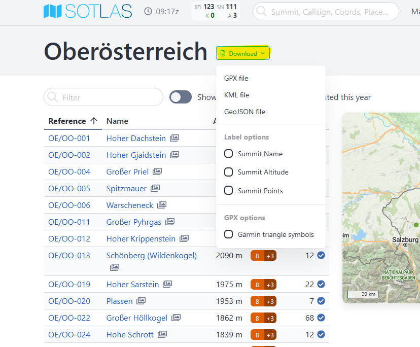
Downloading all summit markers of a region (or assoziation) is not available yet. For the moment you can find this on sotl.as at the region/assoziation summary pages
Perhaps it would be useful to explain what one should do with the points reduction:
What should I pick, 5m or 20m? I know it’s to reduce the number of points in a gpx, particularly if it’s from a recording, but not sure the limits or recommedations etc.
Add to this PHP vulnerabilities that received worldwide mainstream press coverage and the fact an exploit in the SSO software caught us, the SOTA MT had no real alternatives but to pull the old site as soon as we had something viable.

 . The new portal is working well in VK, just like 20m long path.


 )