I’m not one to usually write activation reports, but as this was a HUGE weekend away purely for SOTA, it felt rude not to put one together…
Day 1 - Saturday 29th August 2020 (Birmingham to Maenclochog)
Hirfynydd GW/SW-017
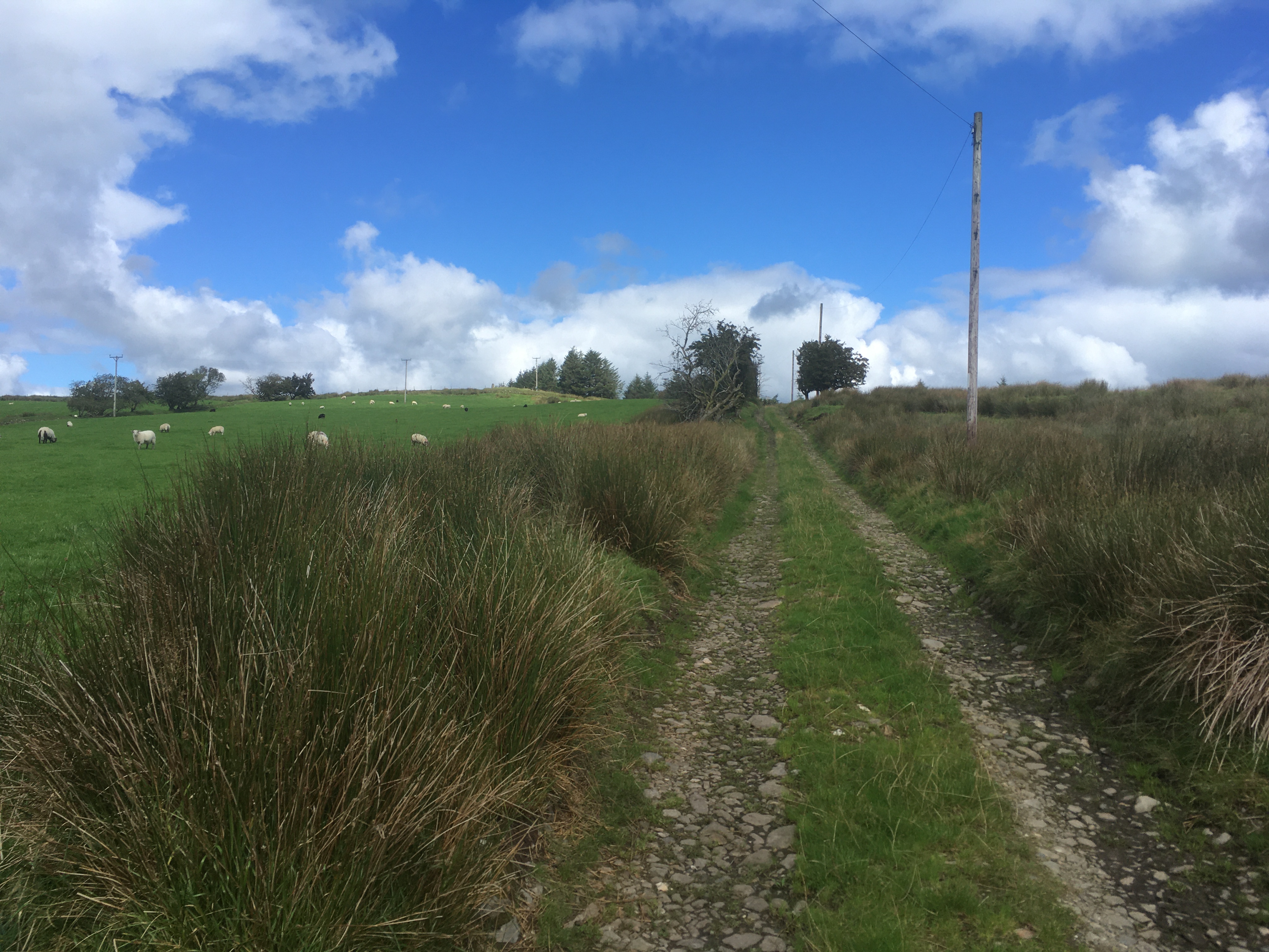
After packing most of the kit the night before, I awoke at 5:30am and hit the road at 5:45am. It took me just over 2 hours to travel down then M5, M50 and A465 to my first parking spot on the Roman Road at Banwen. Hirfynydd was one of 3 remaining GW/SW uniques left for me to activate, so it made sense to tick this one off on the way over to Pembrokeshire.
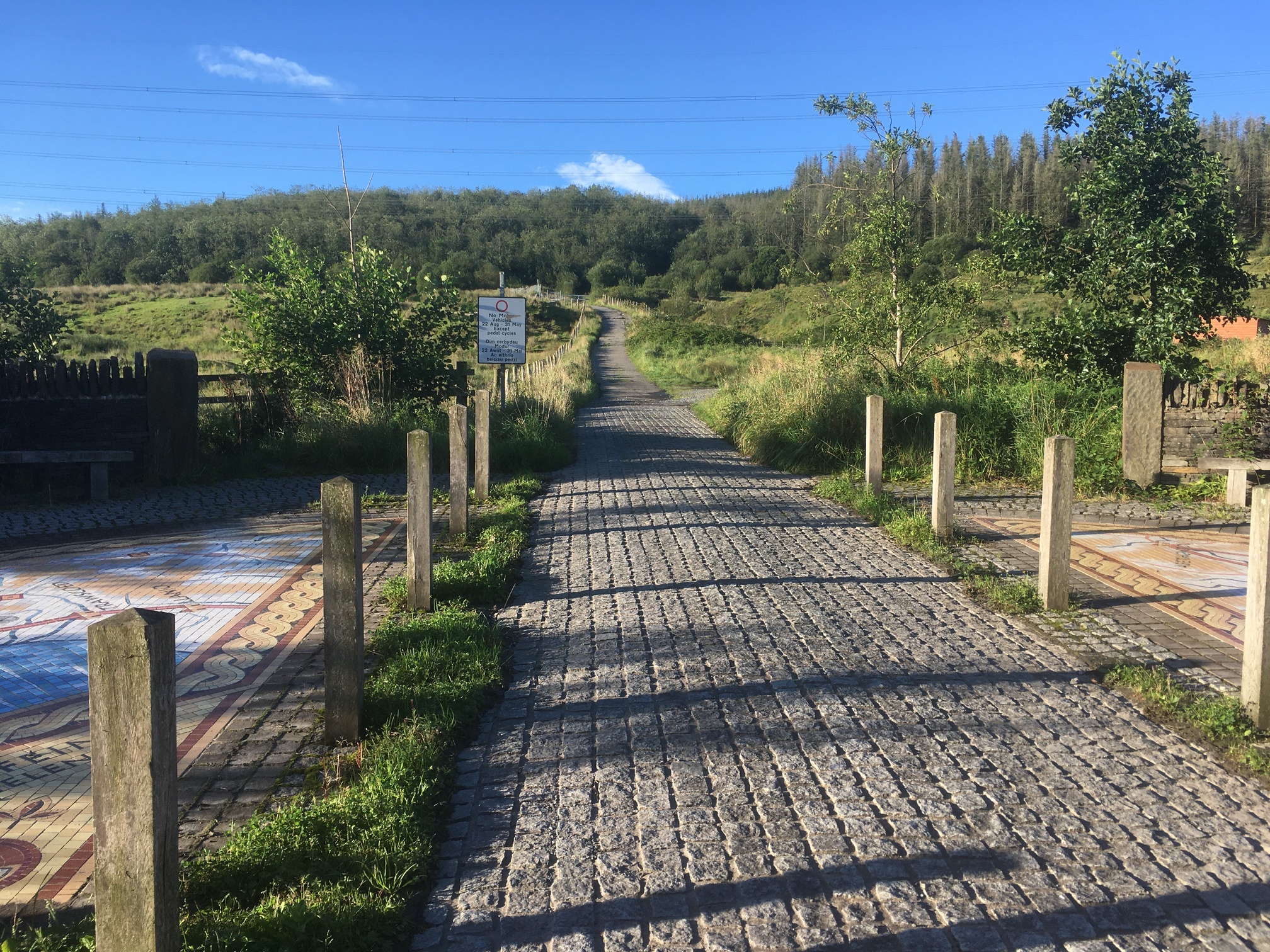
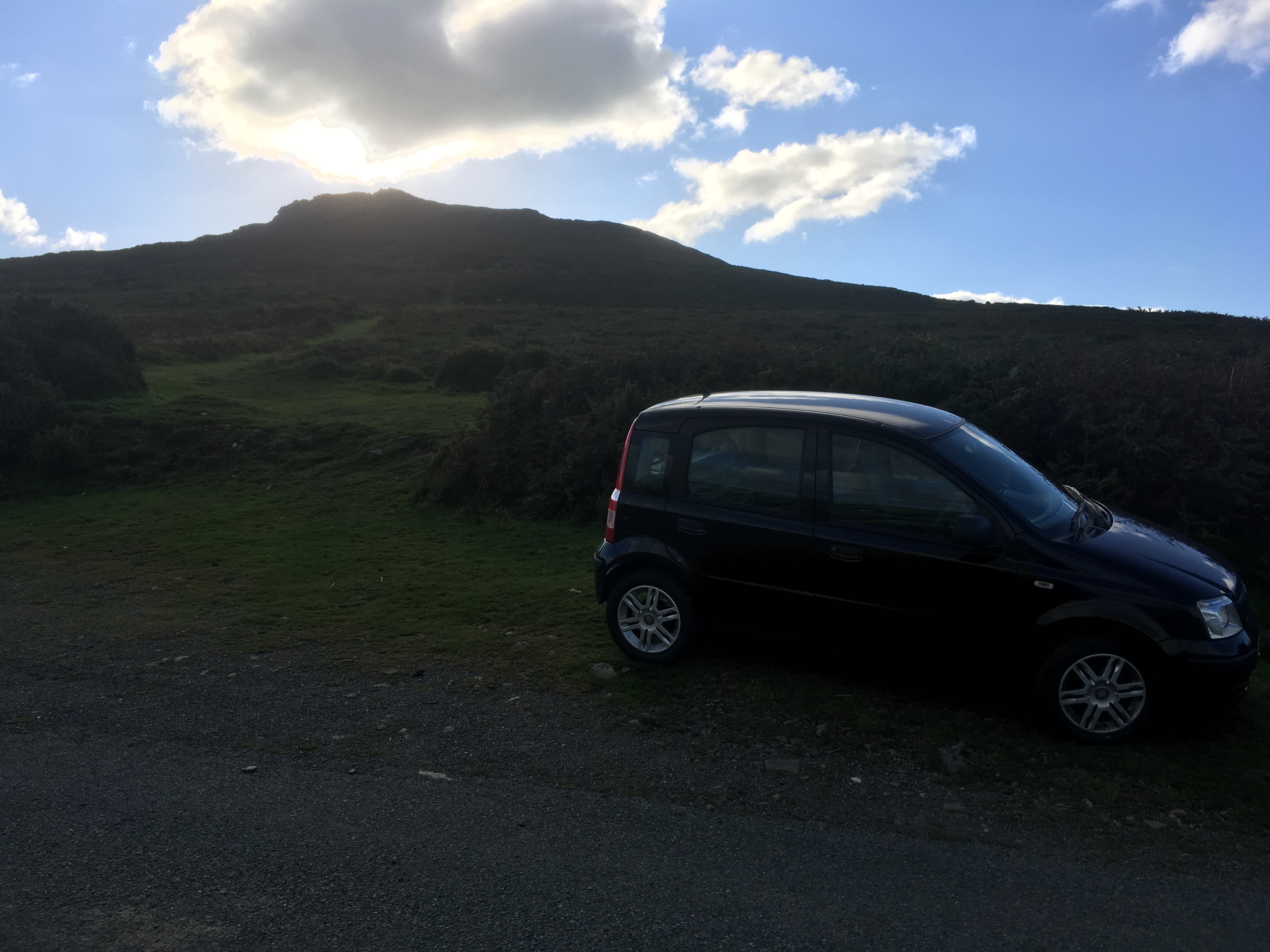
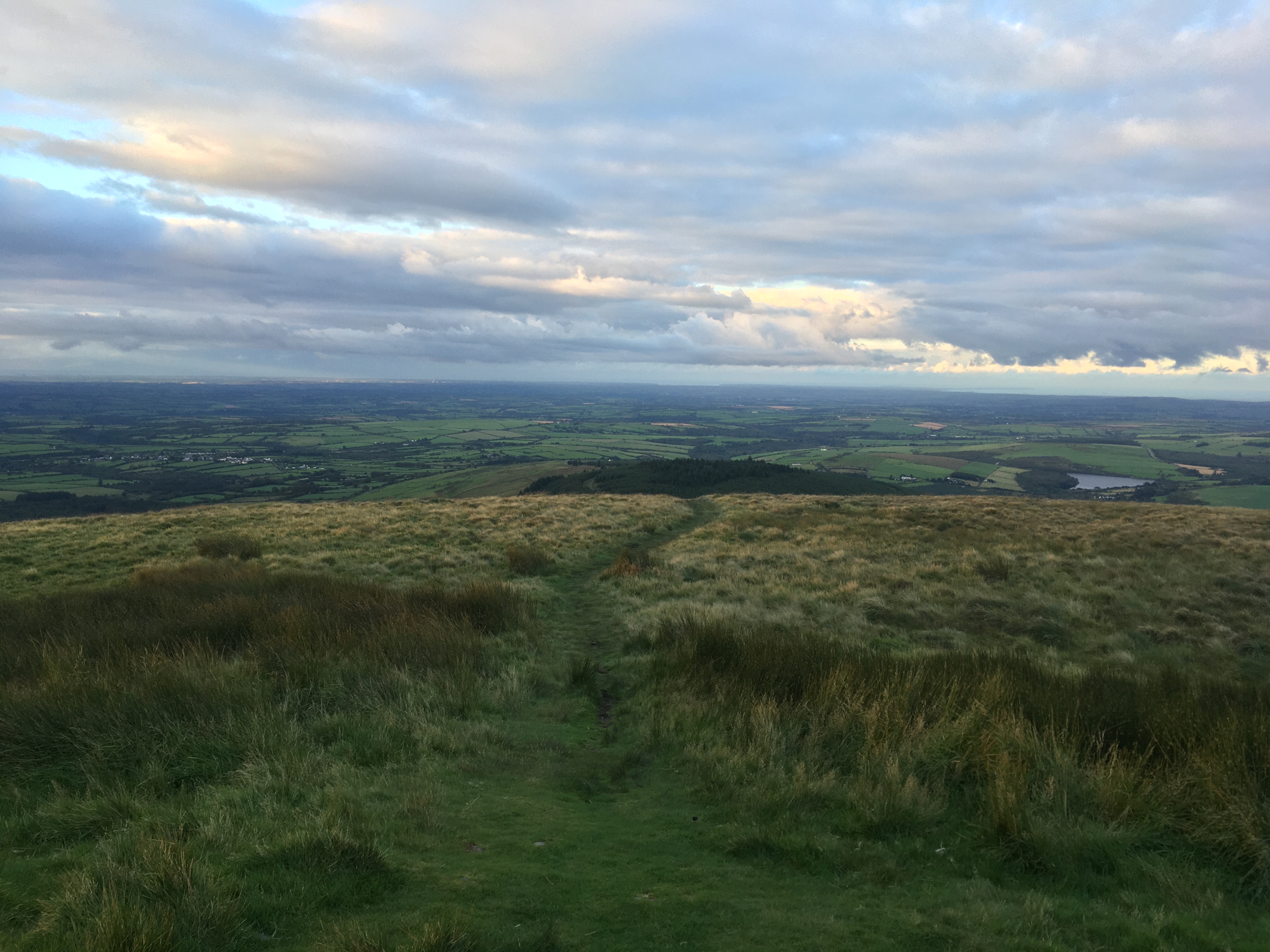
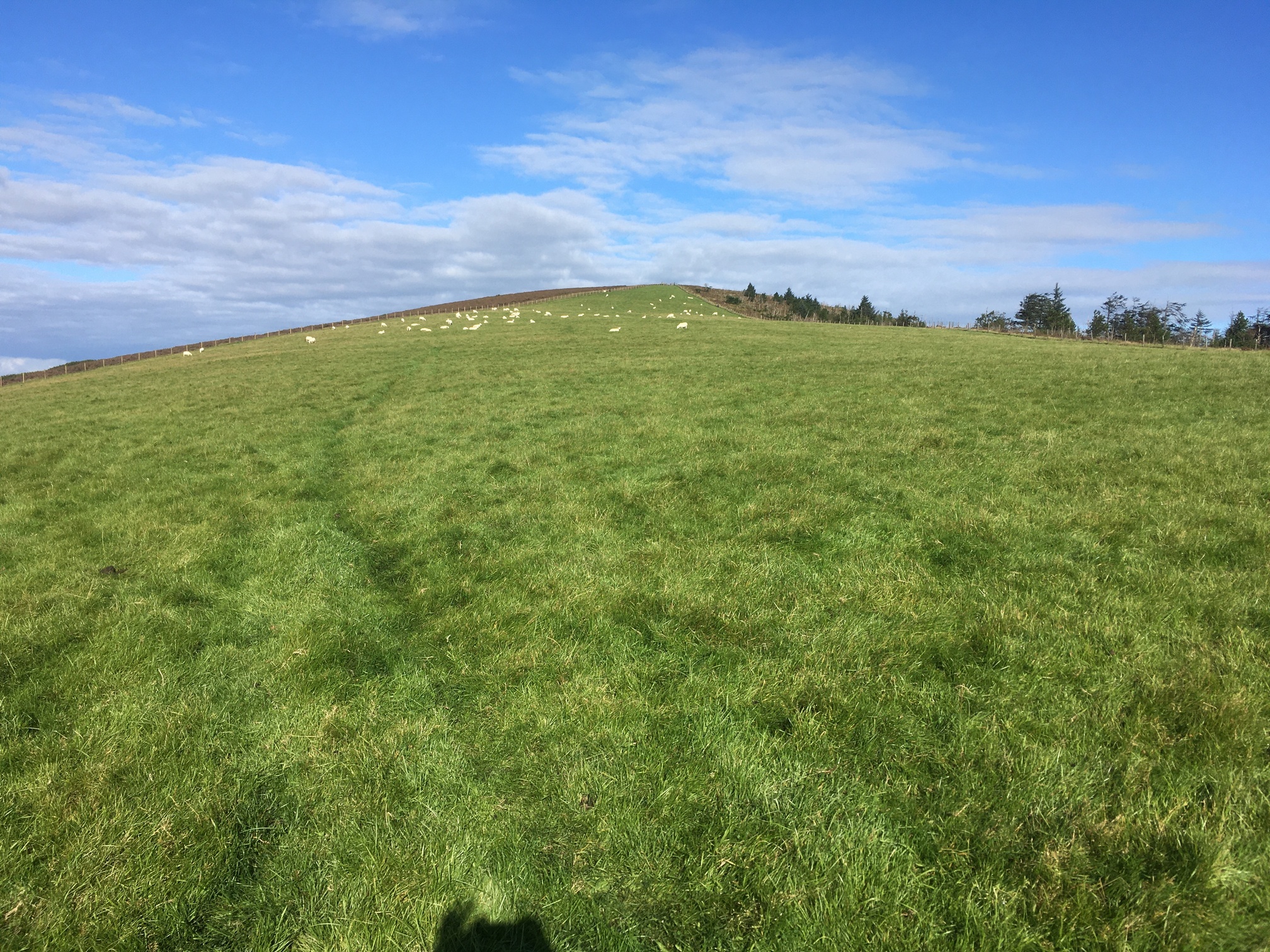
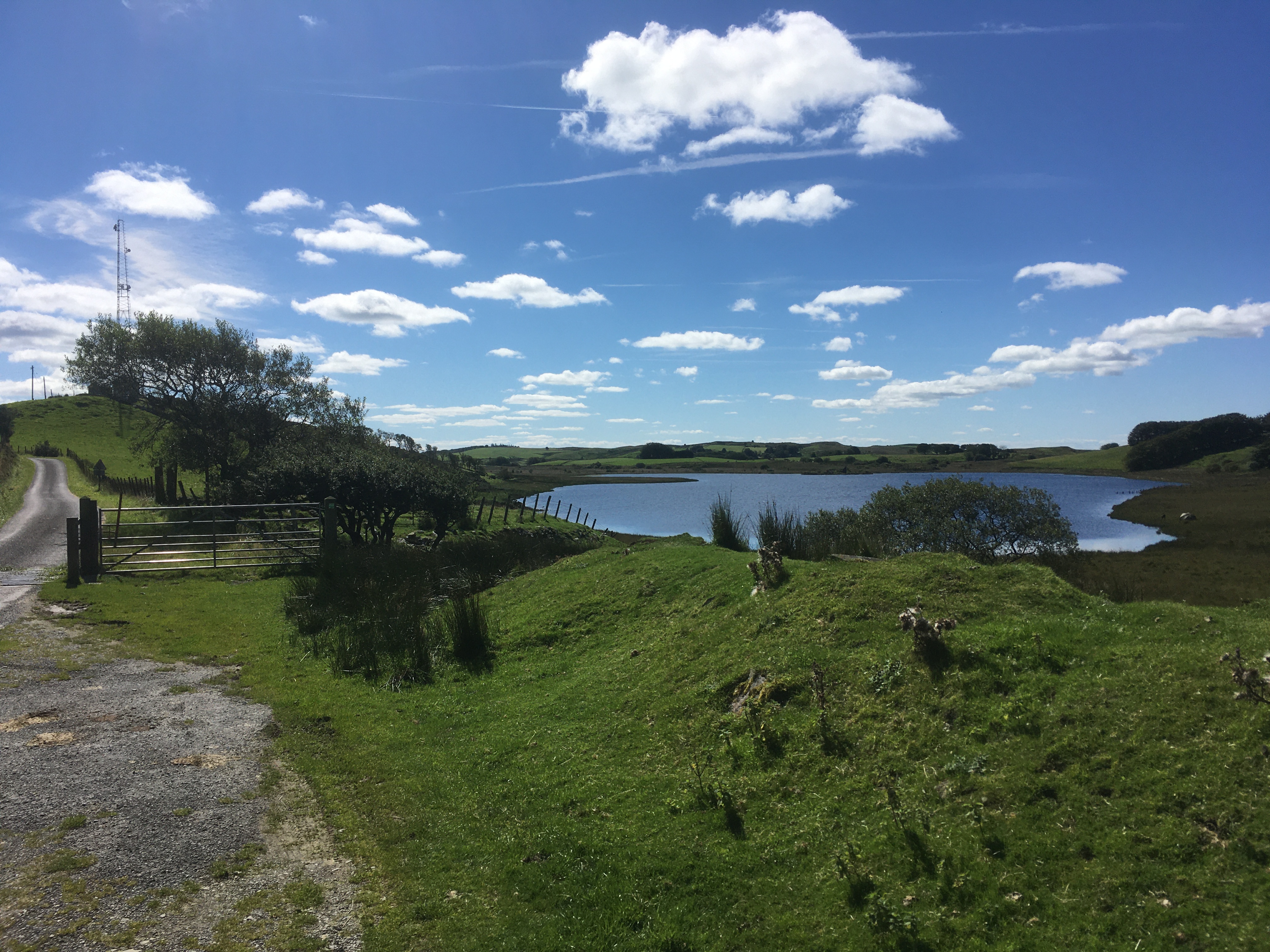
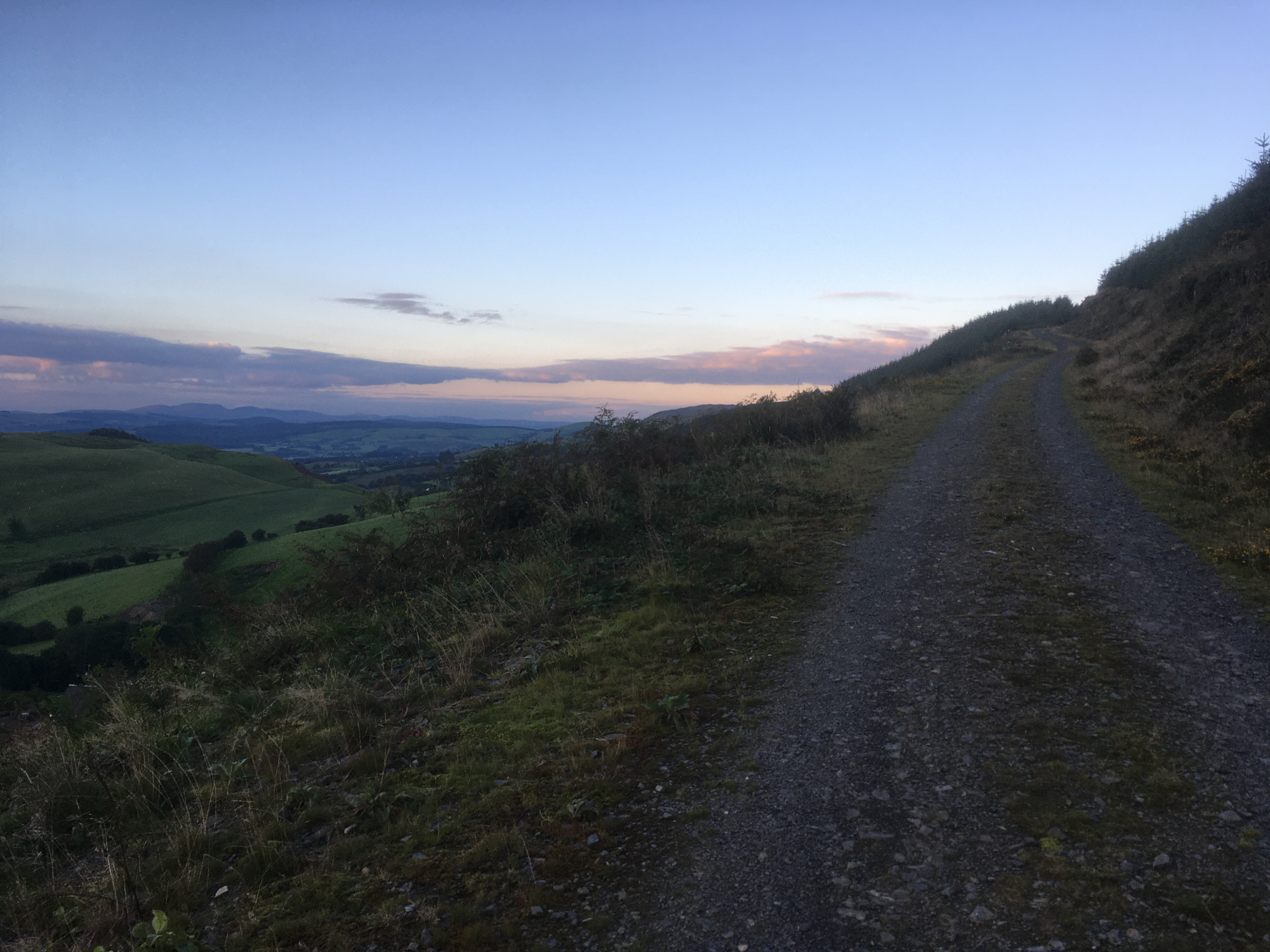
The start of the walk
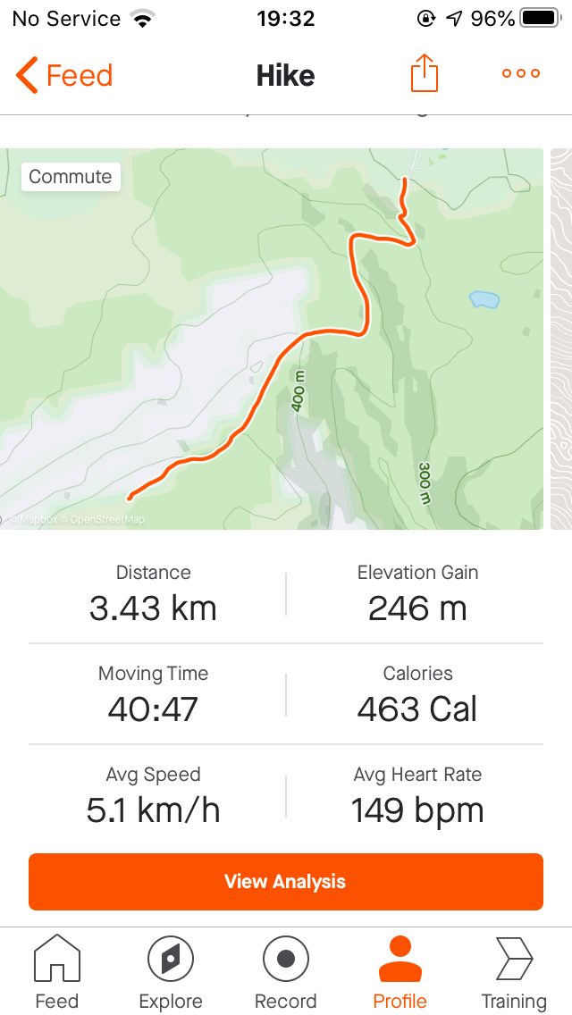
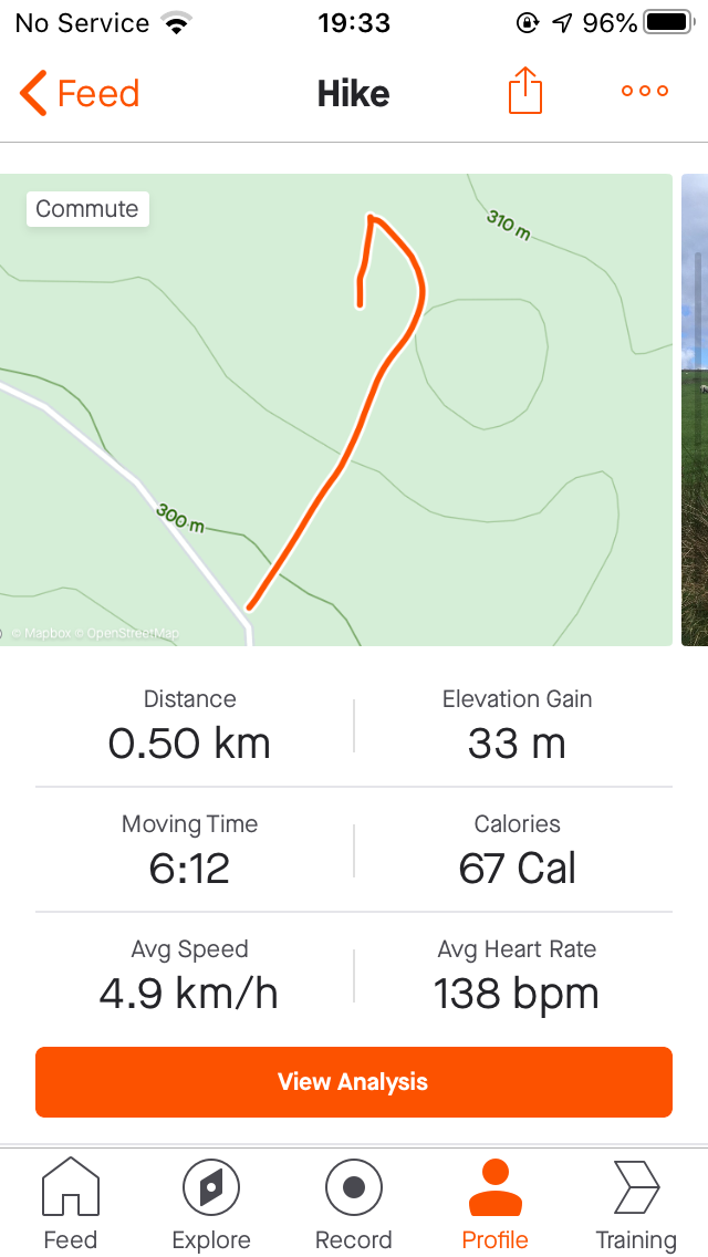
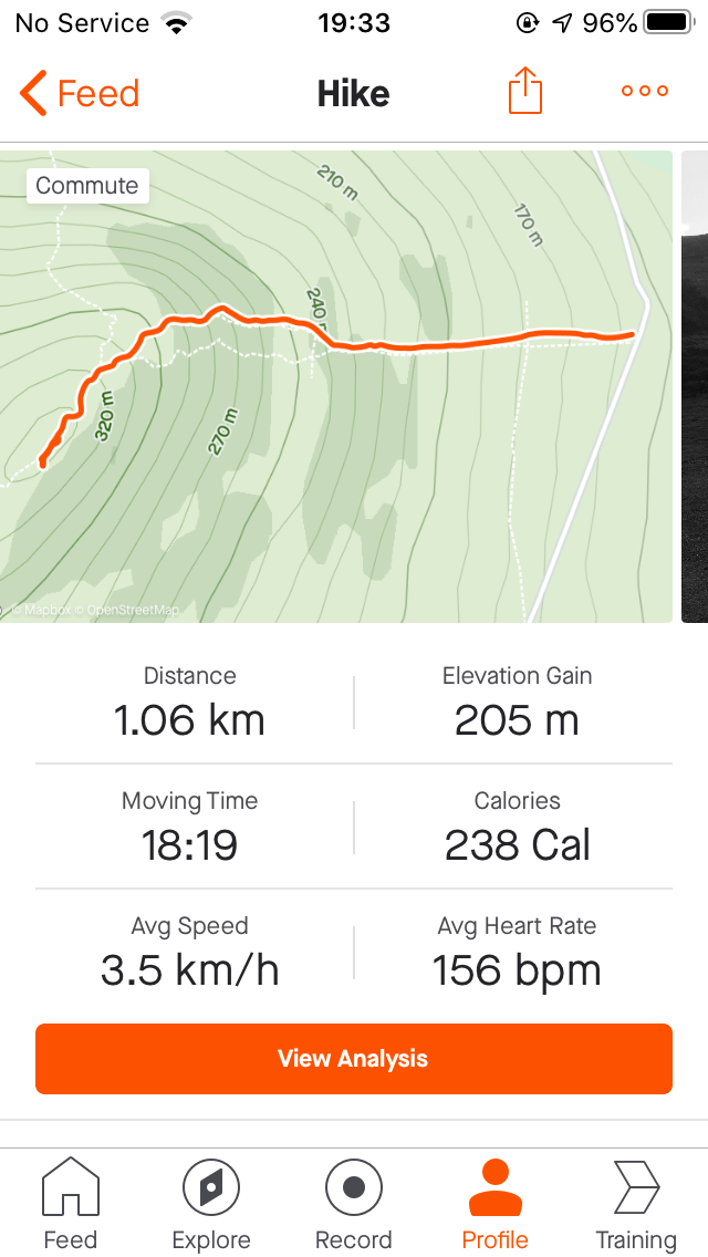
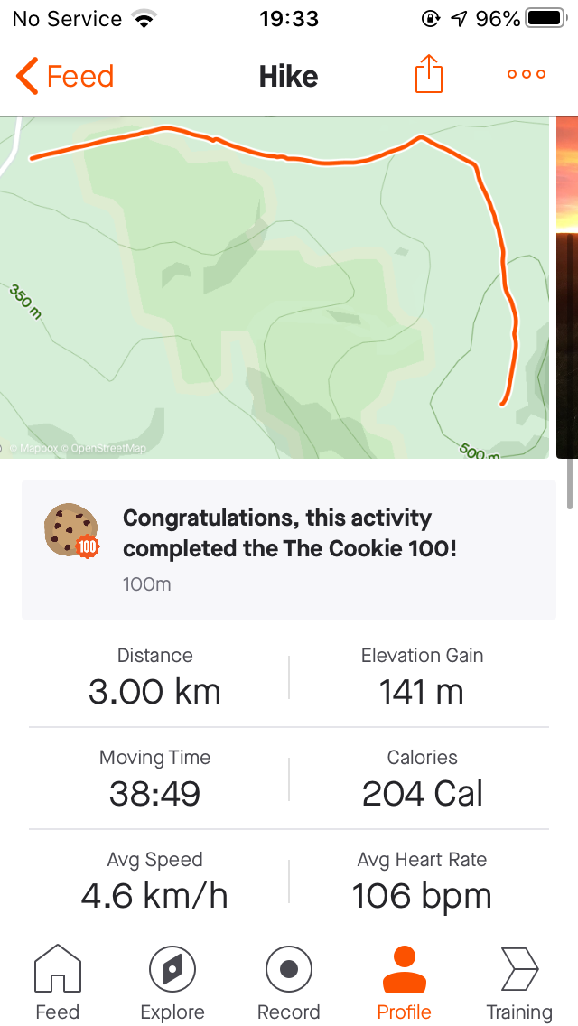
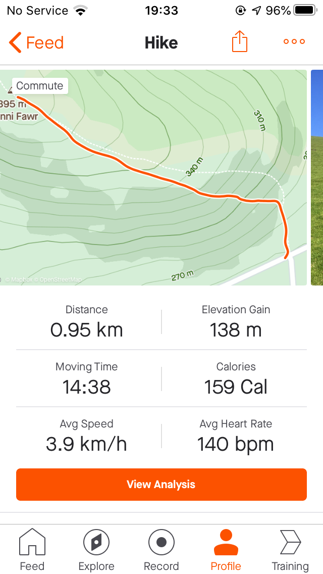
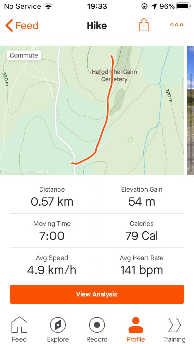
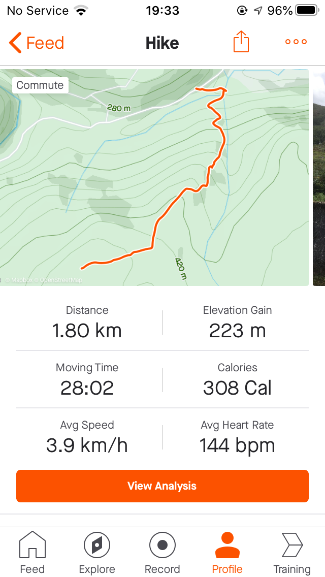
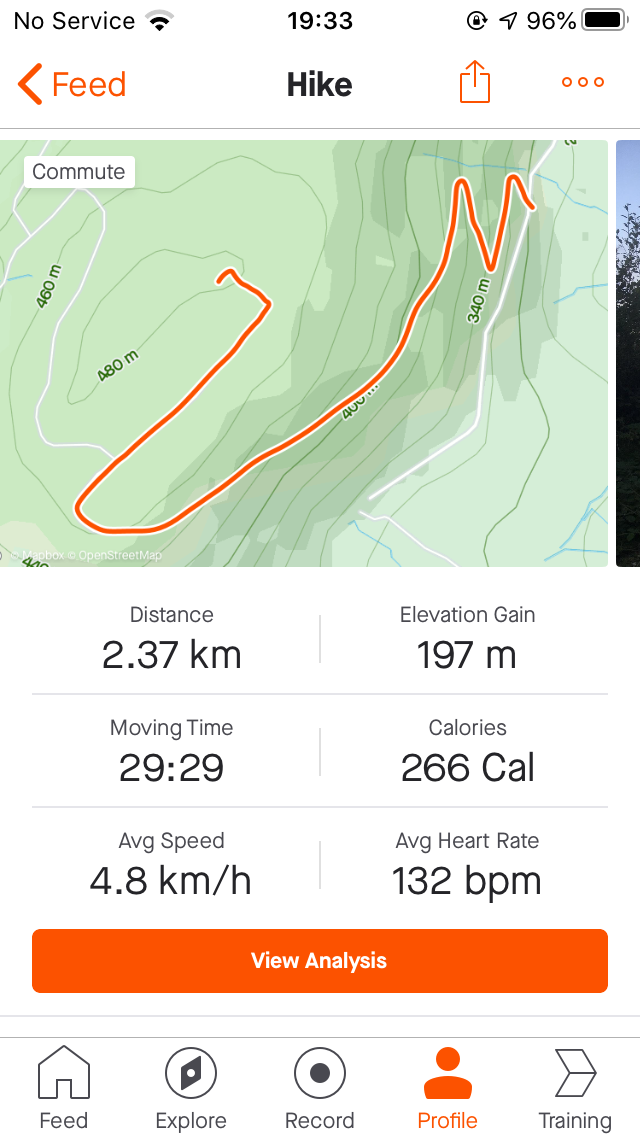
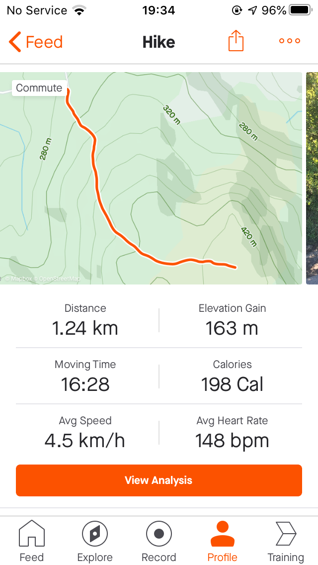
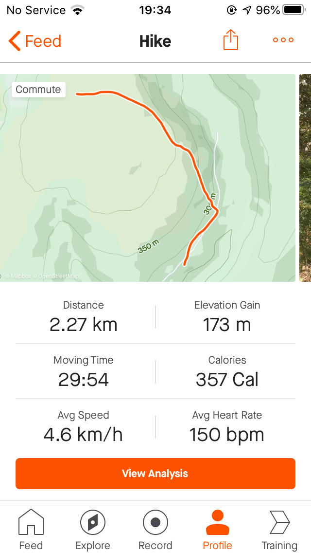
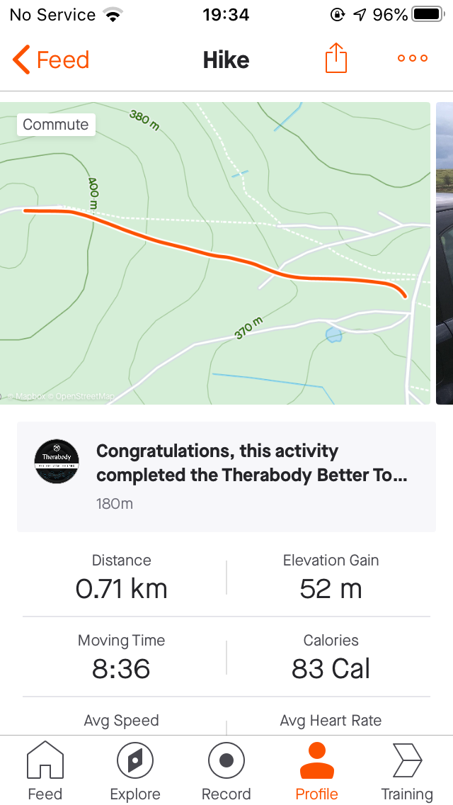
Strava Route Card
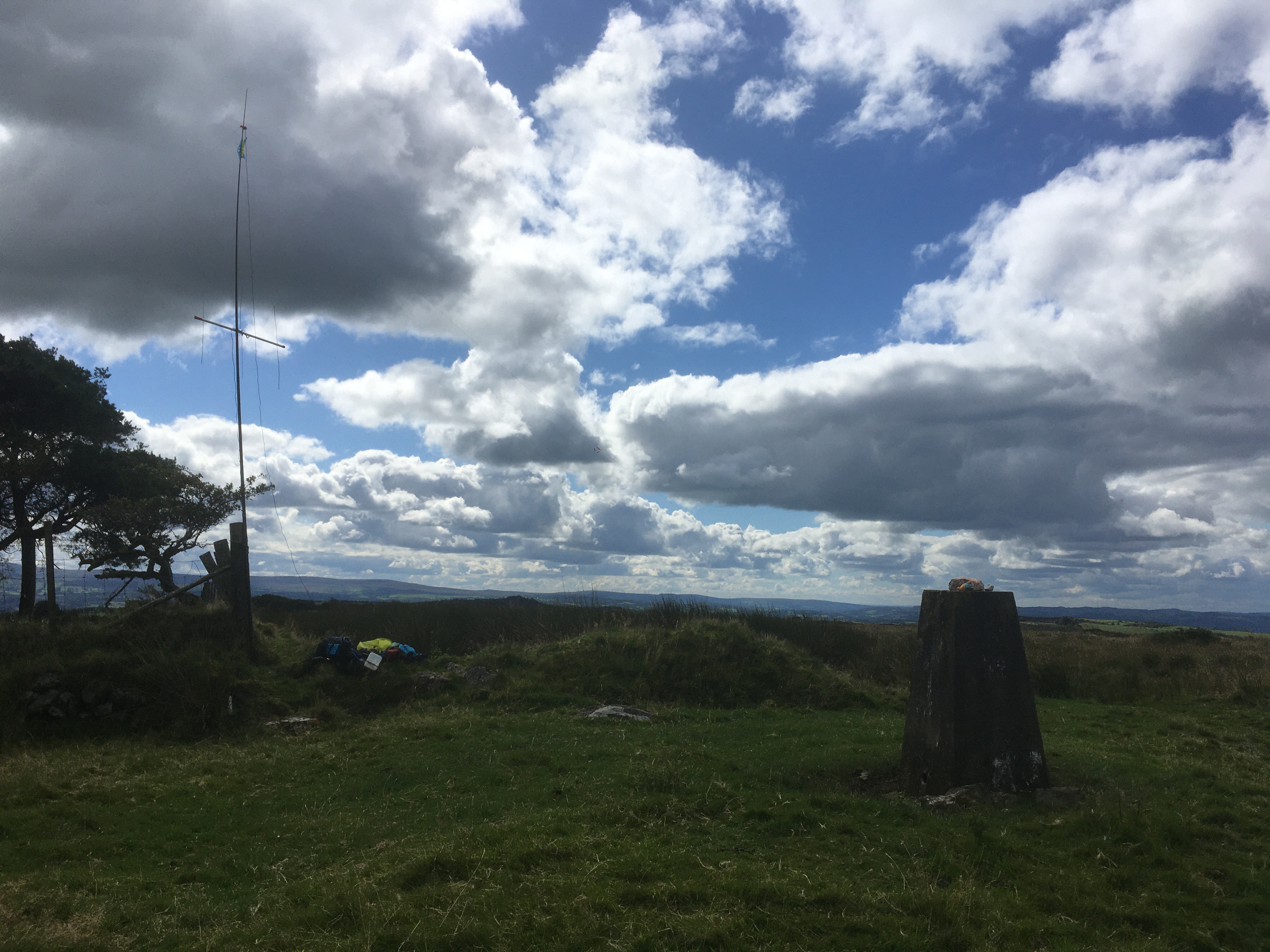
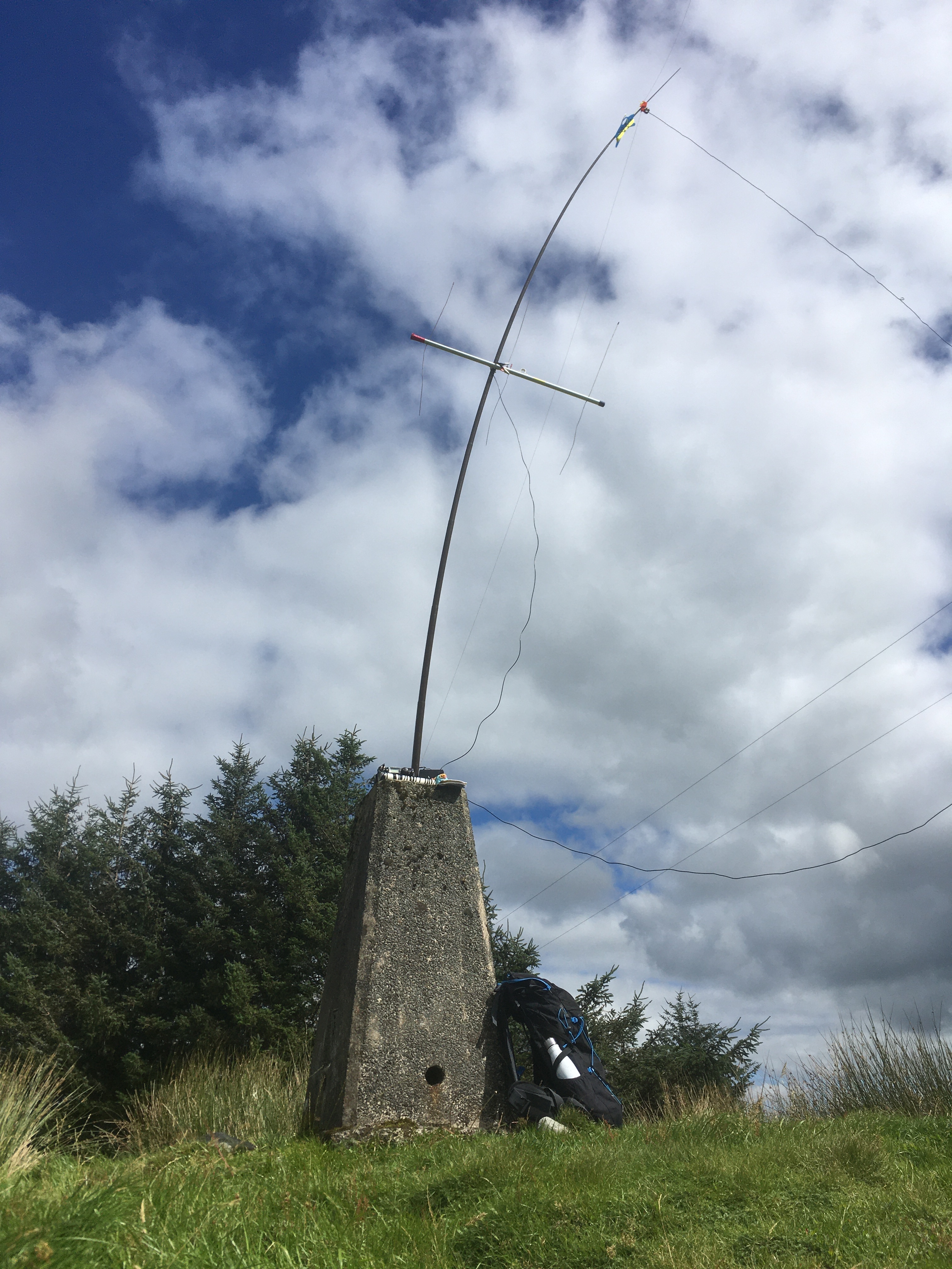
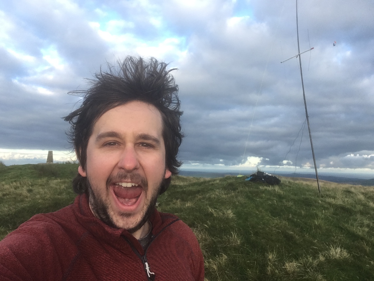
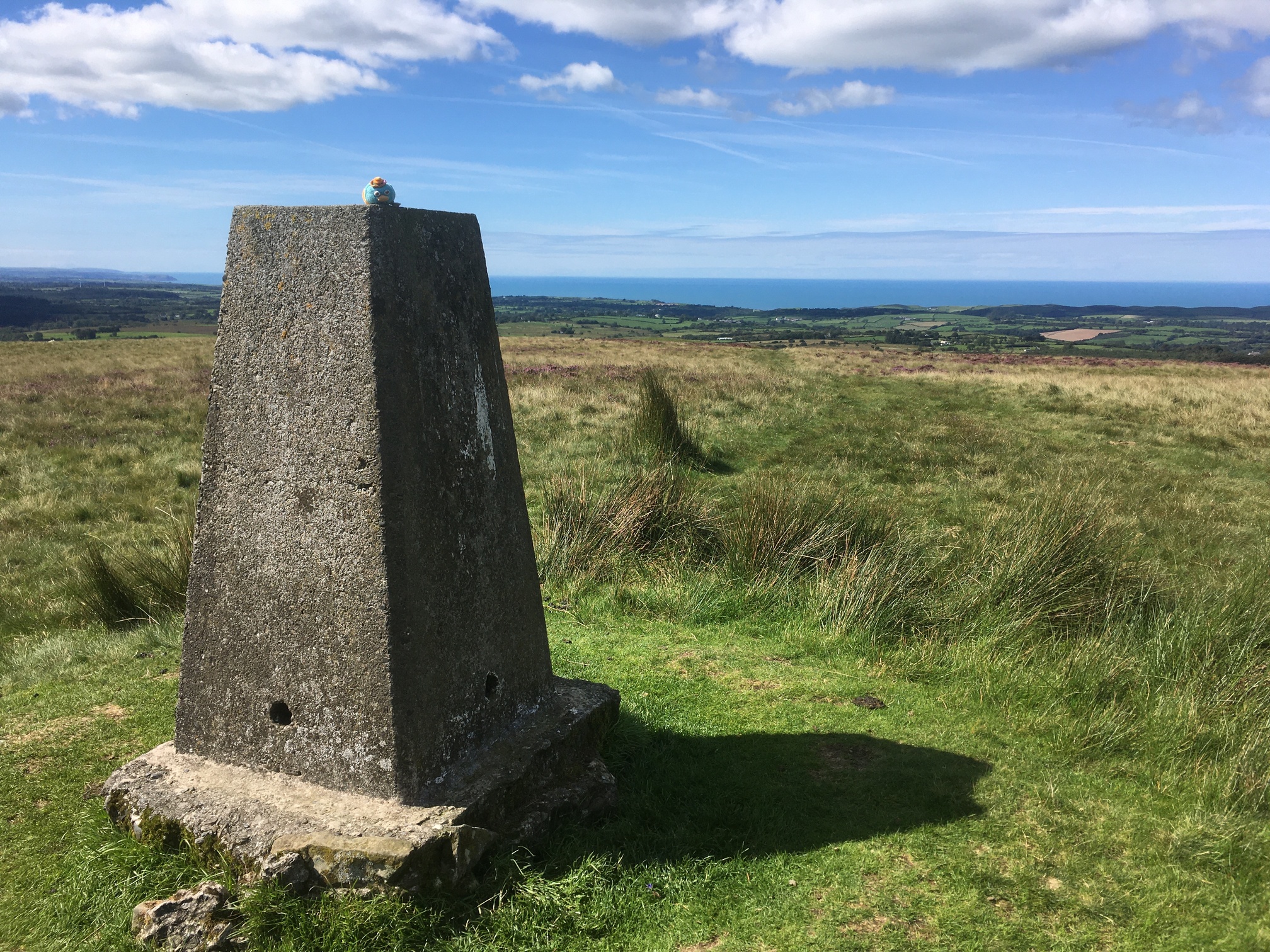
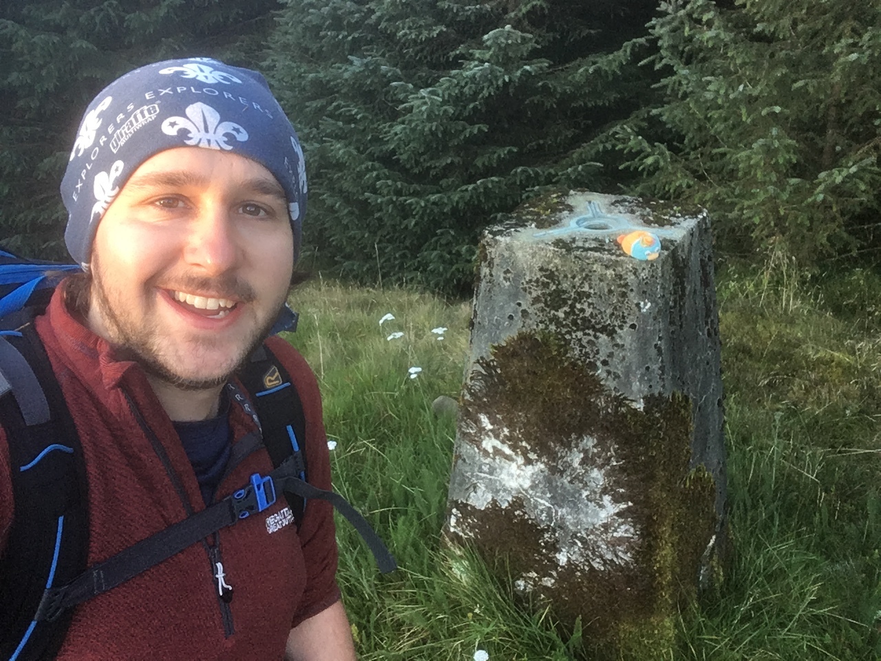
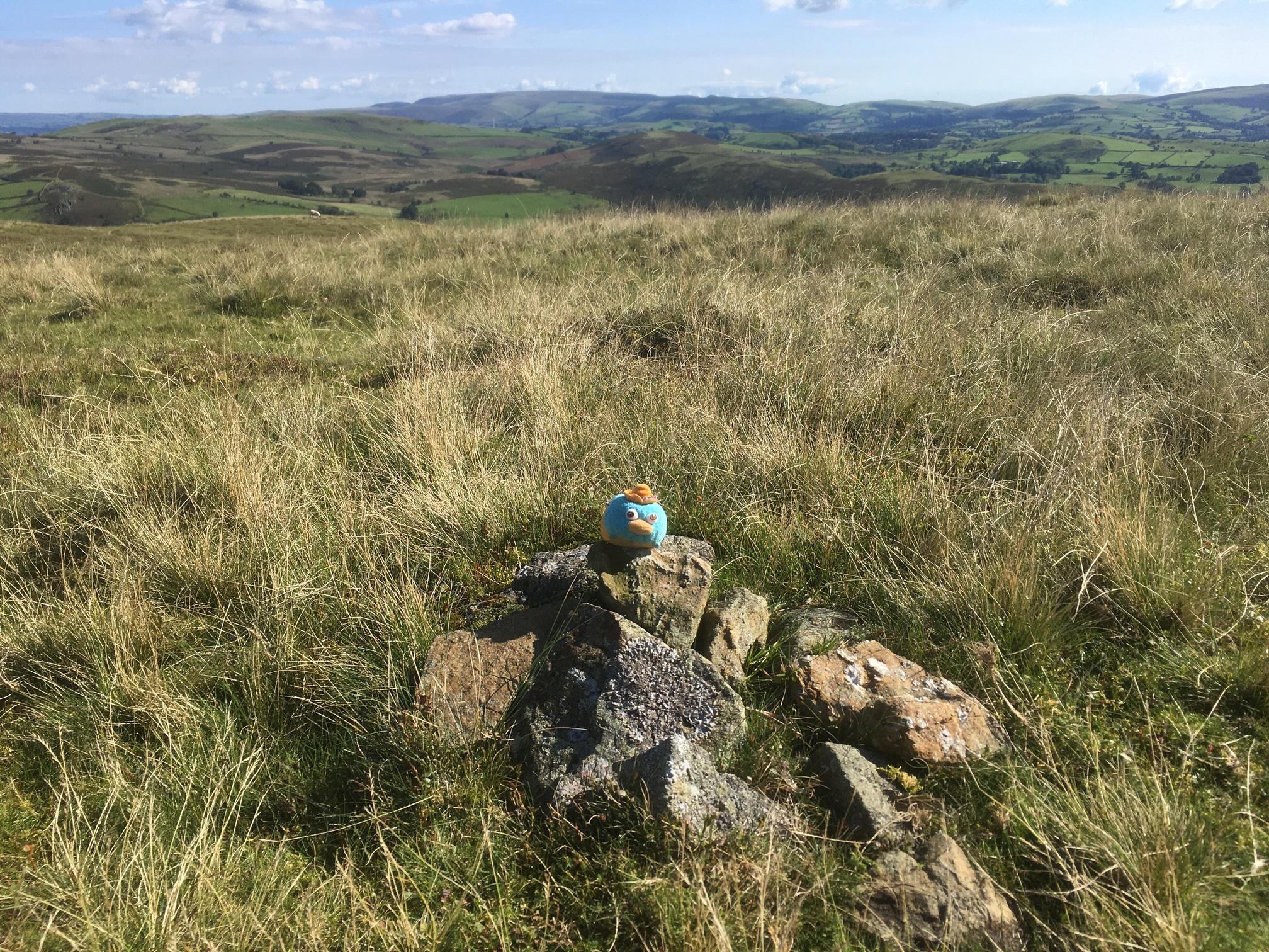
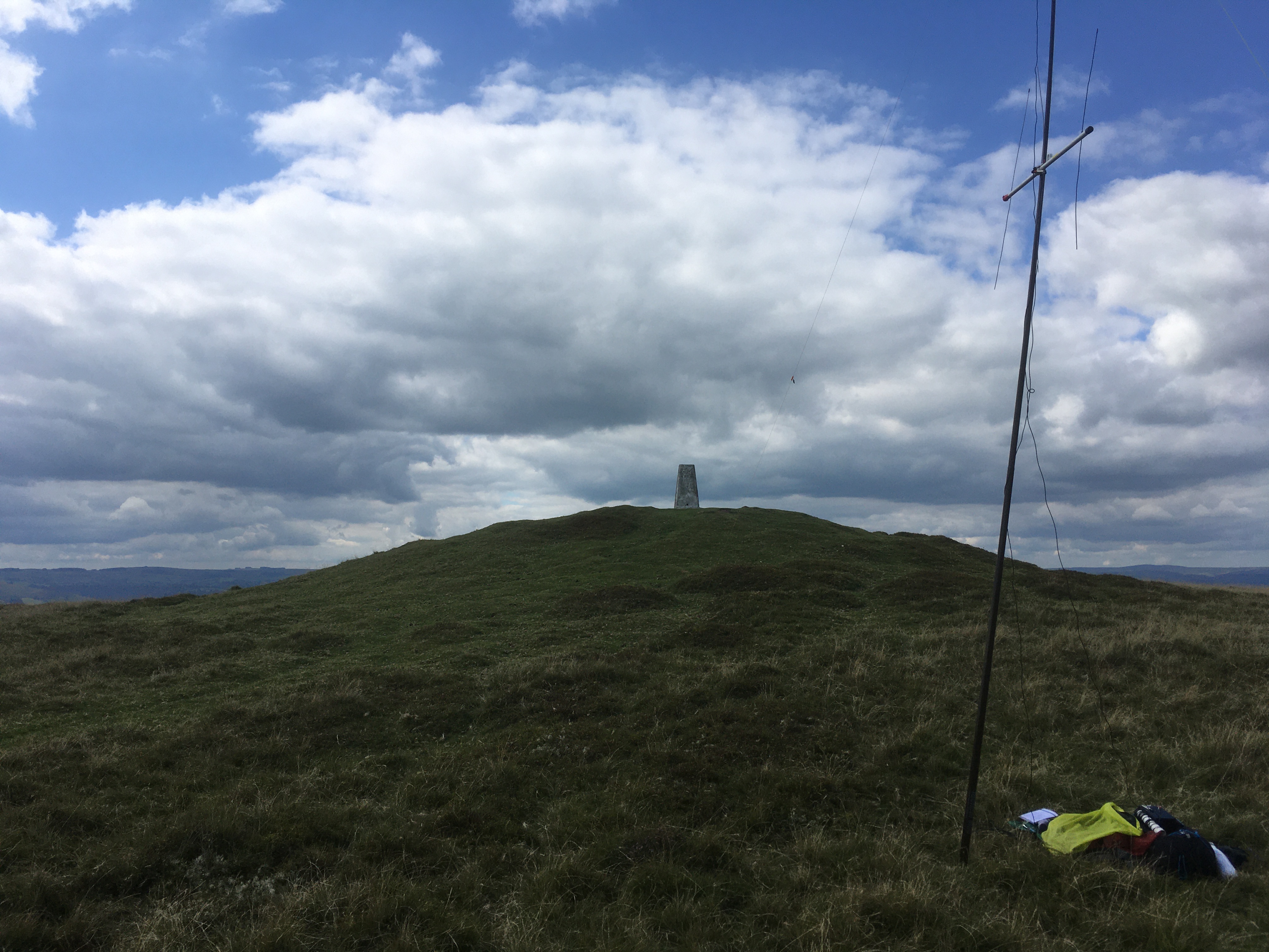
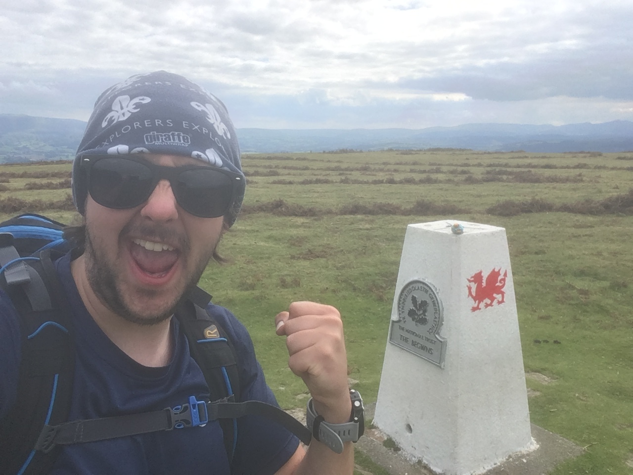
The route was rather straightforward - stick to the byway all the way to the summit. There was a small shortcut that I opted to take to avoid the double back at the start, but other than that, it was an easy stroll up to the activation zone. As I walked along the crest at the top, I was hoping to see the fence/wall that borders the trig point, but this seemed non-existent, so I walked about 50m past the crest, before hopping into the grass. This was perfectly timed, as the summit was buried within the branches of a pine tree. I took my obligatory summit selfie, before heading back to the byway, where I set up the HF and 2m antenna.
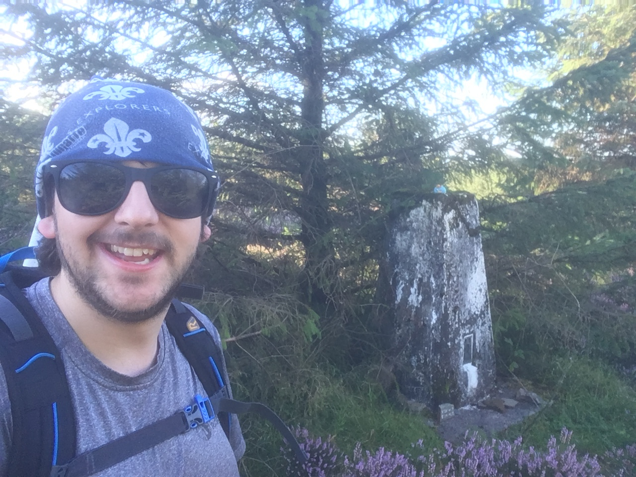
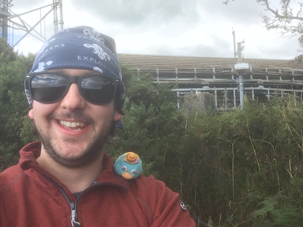
Summit Selfie!
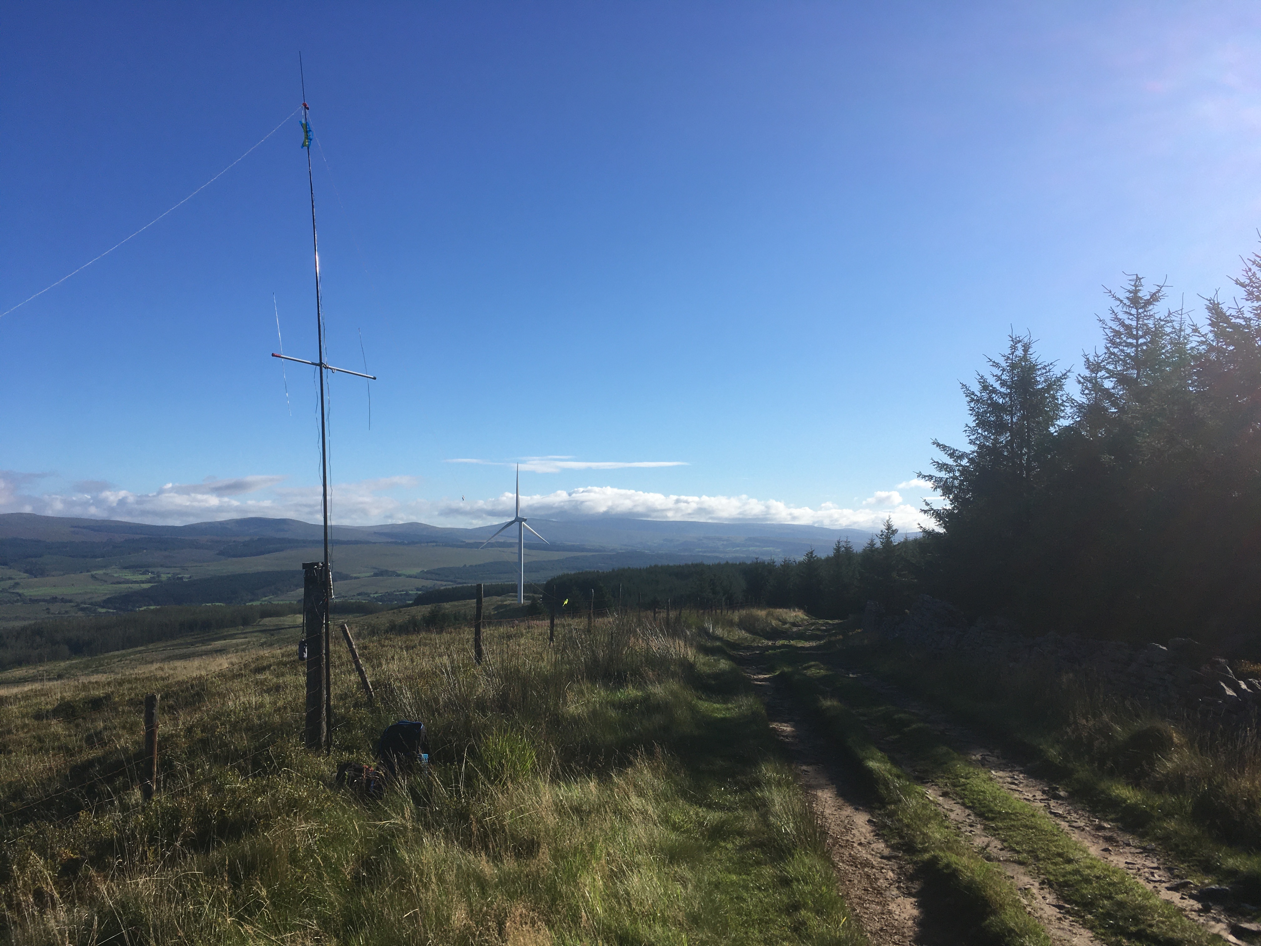
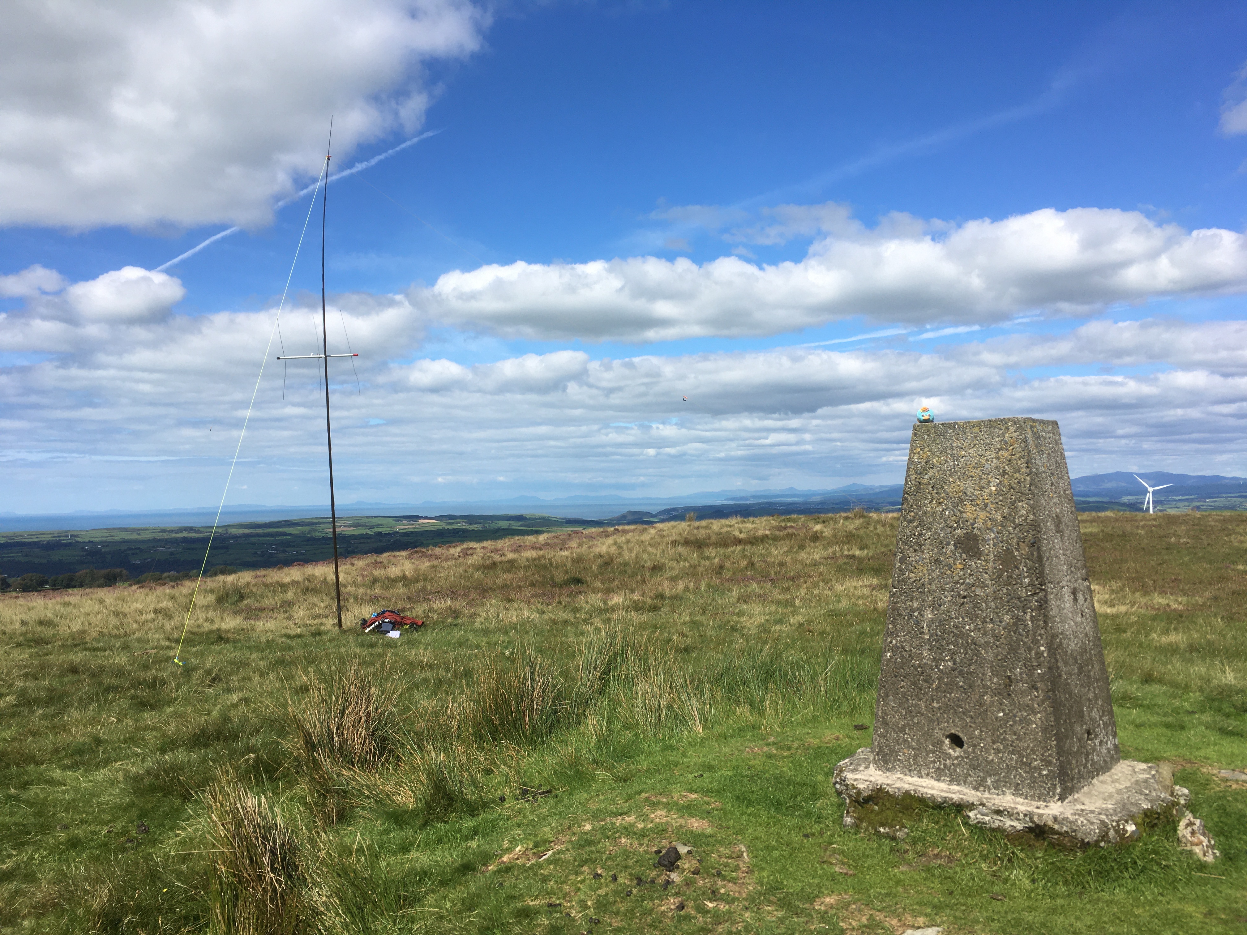
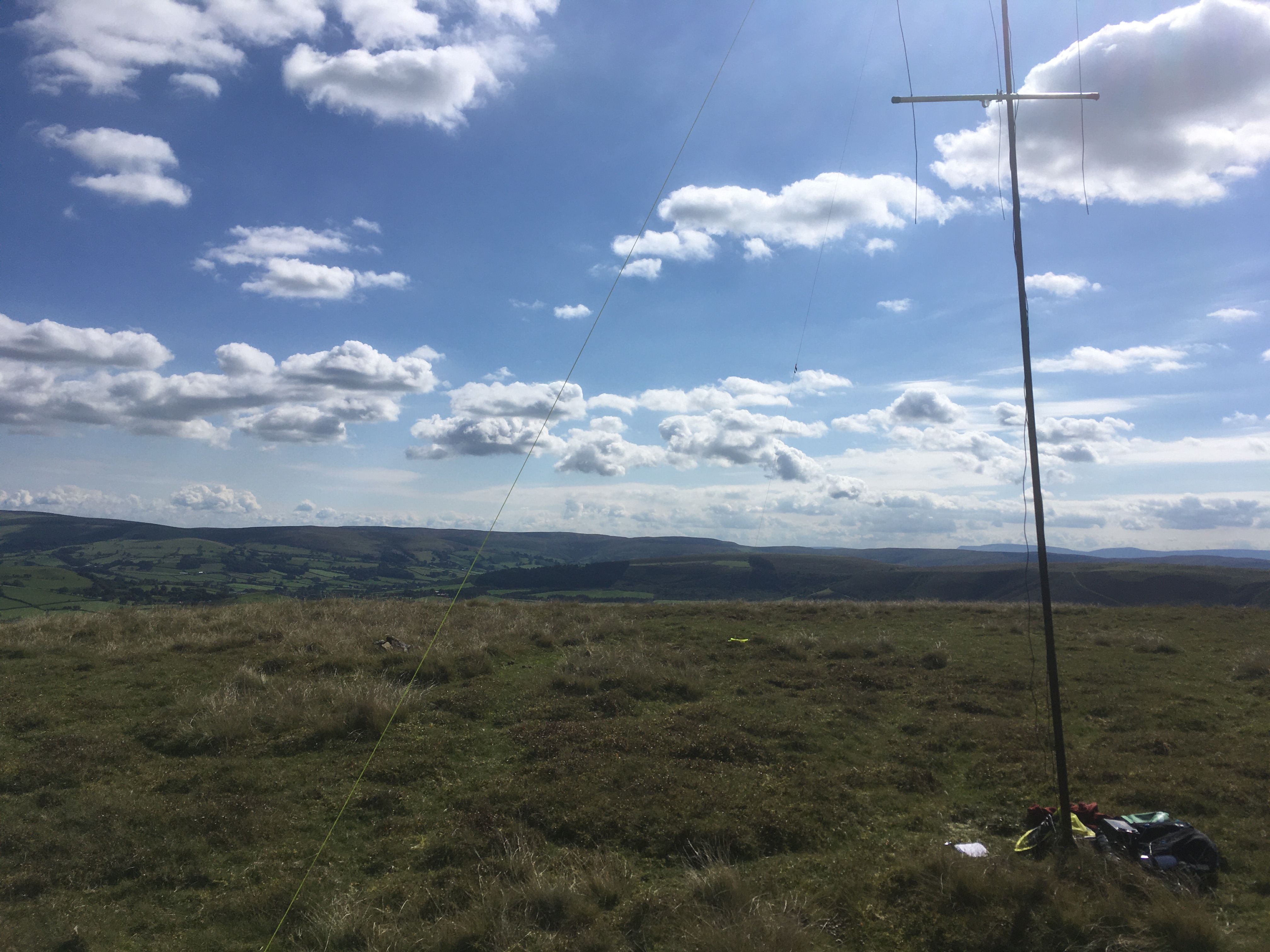
All set up on the side of the byway!
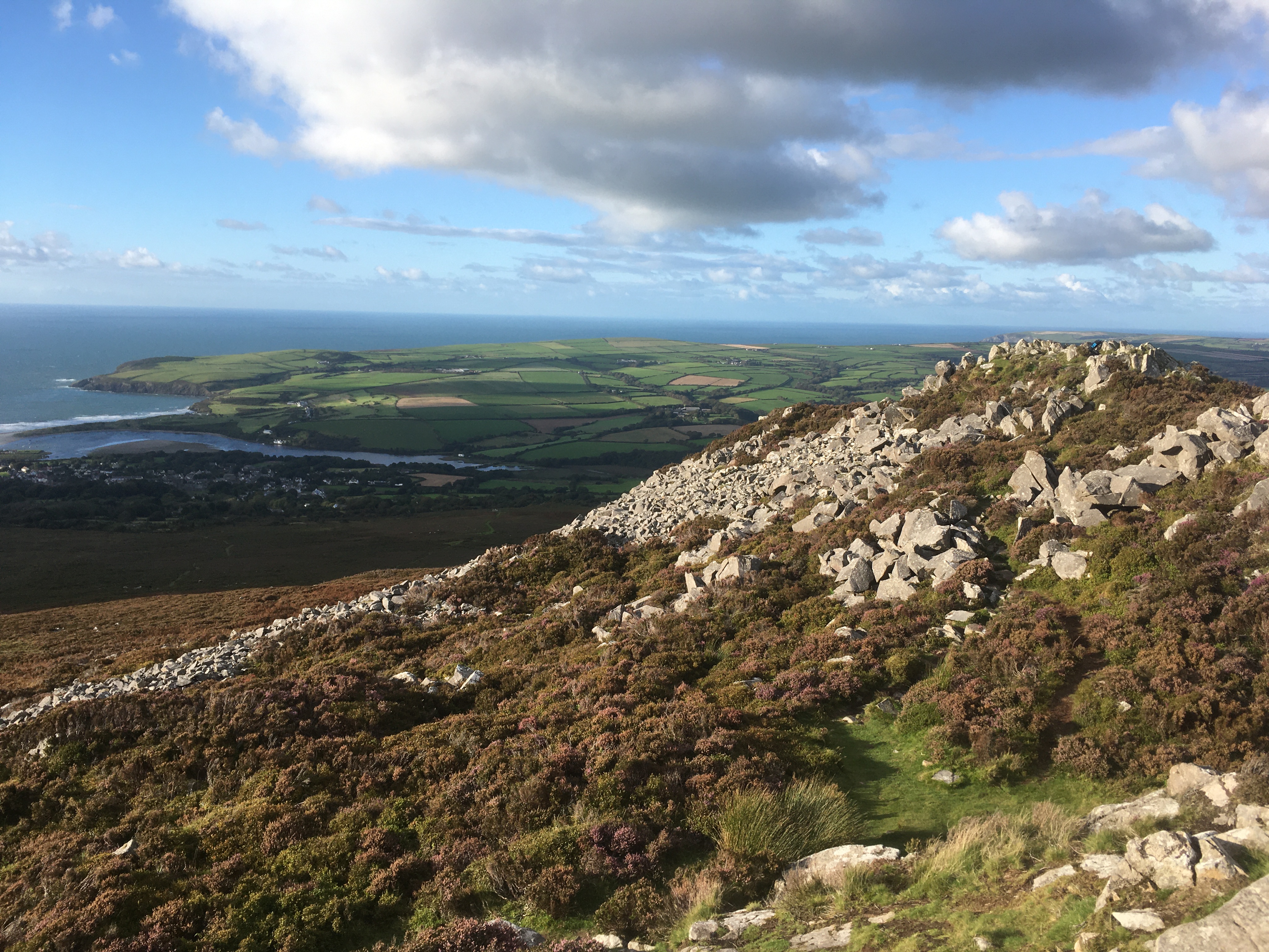
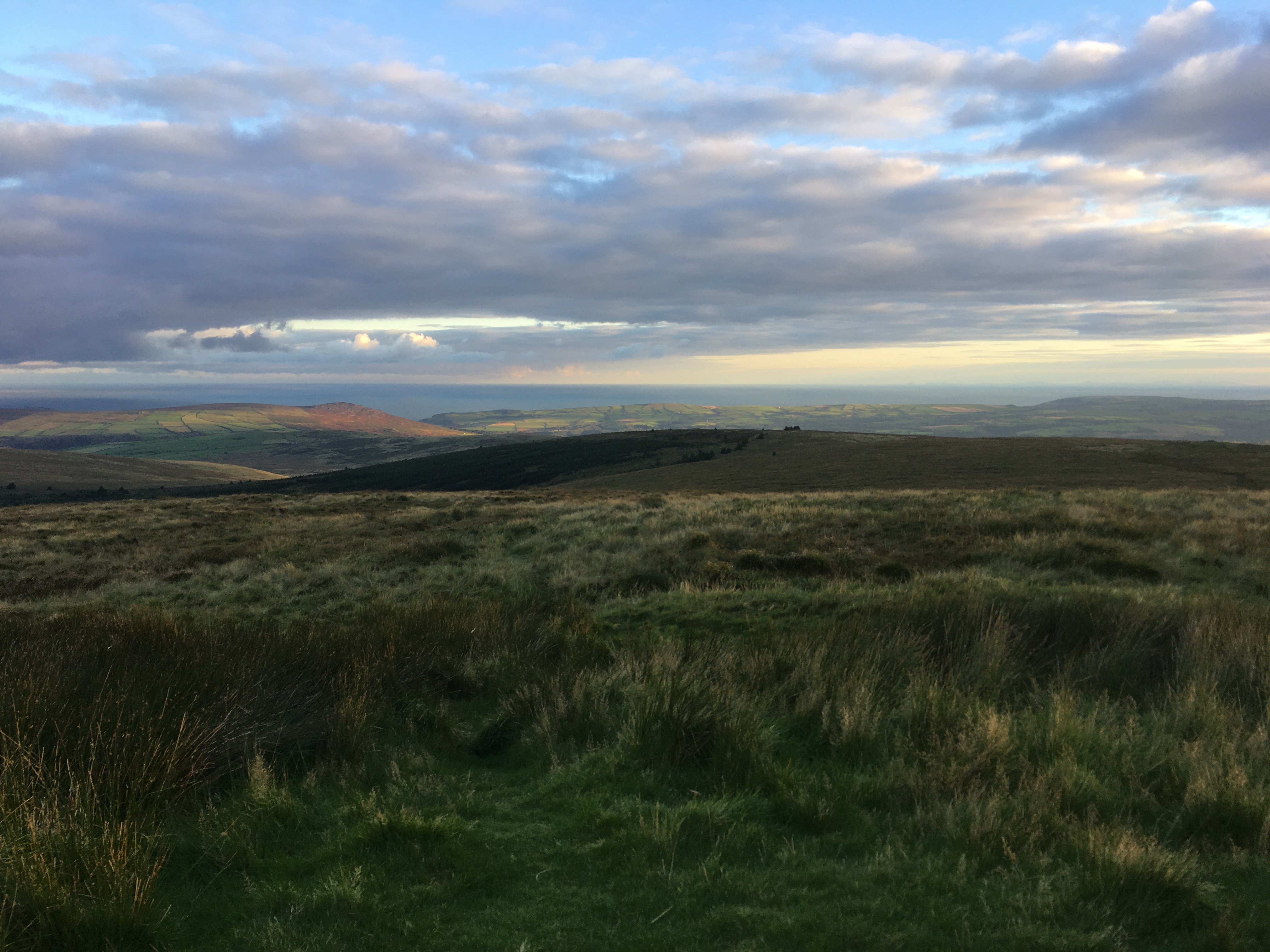
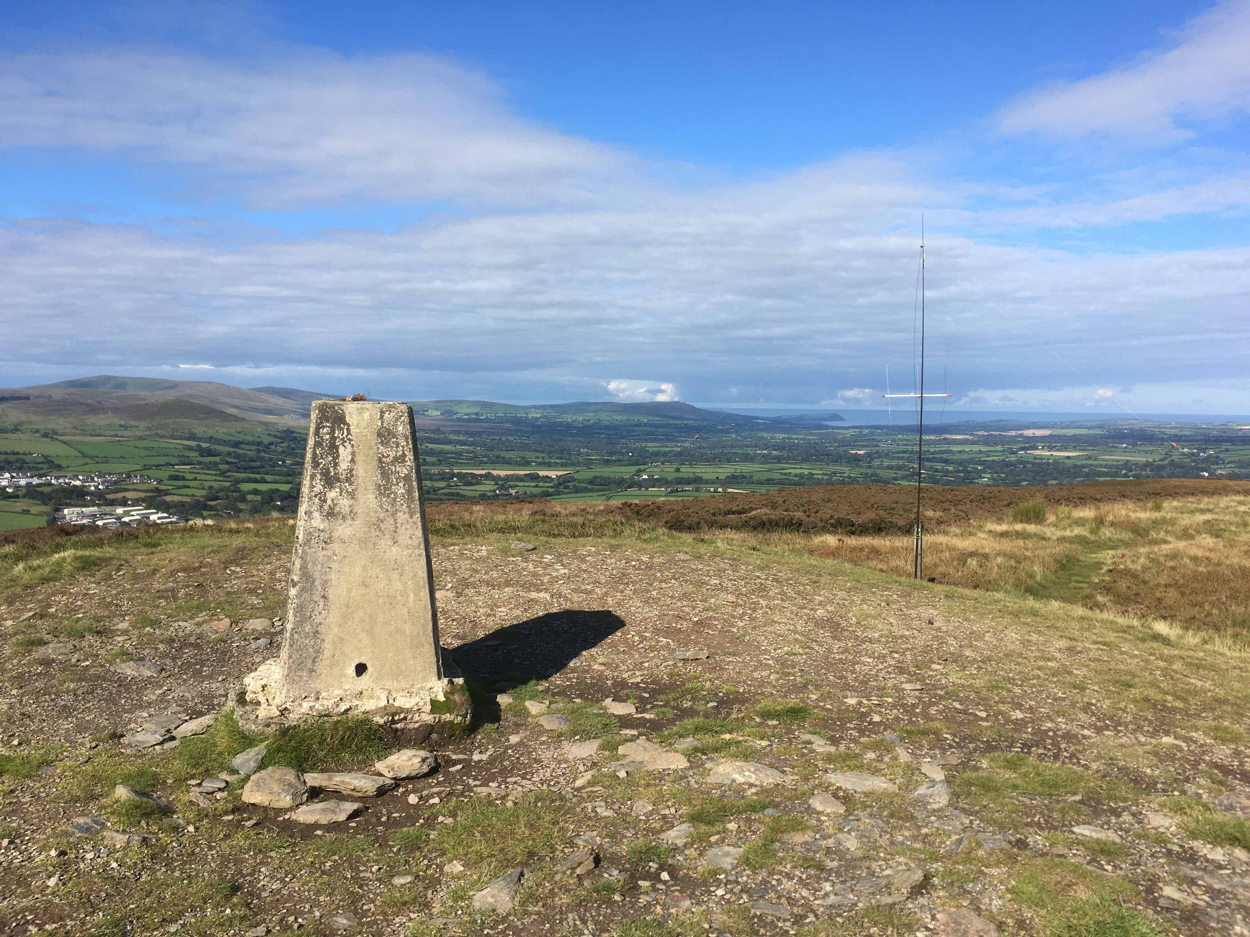
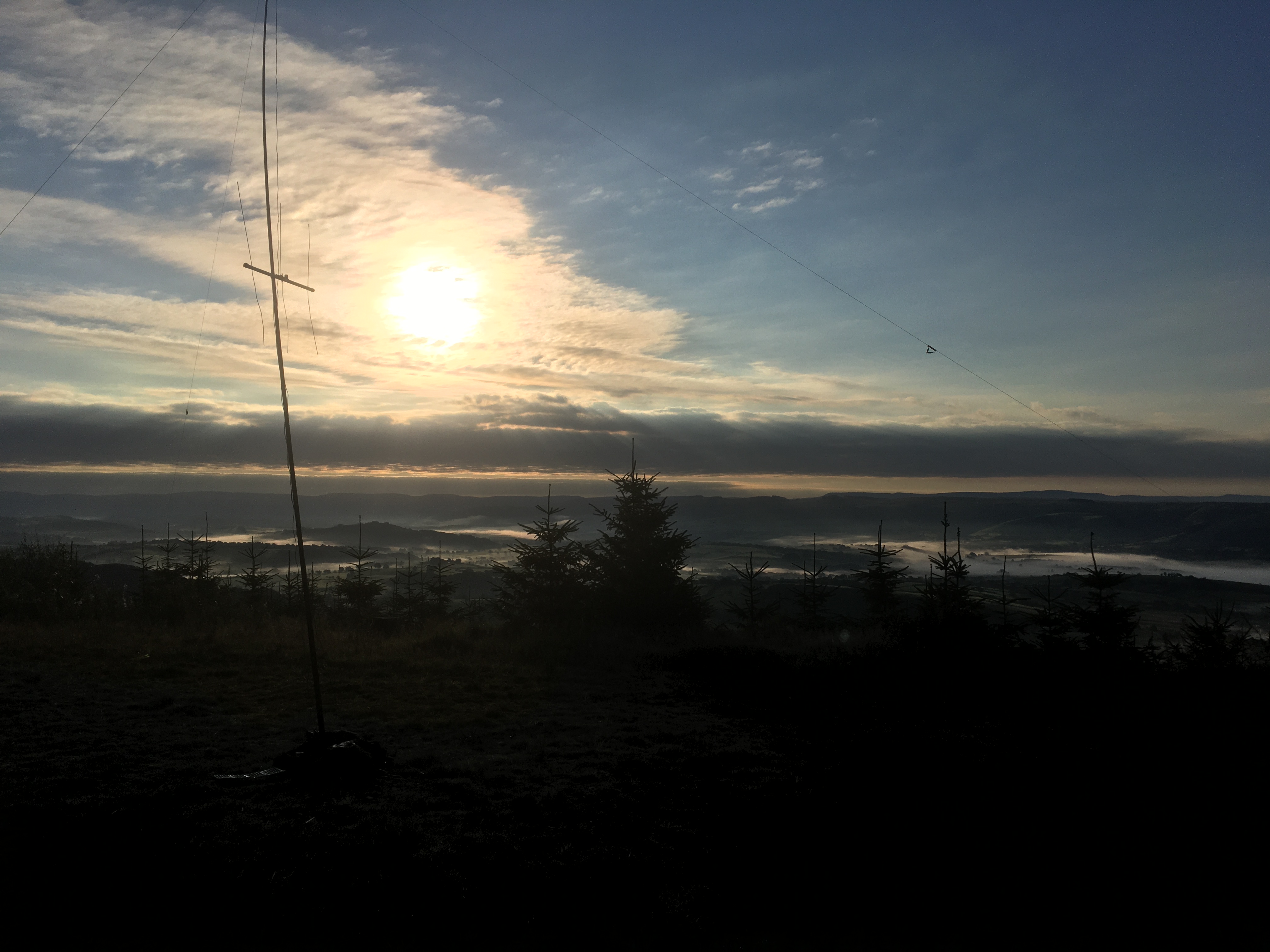
The HF gear has been a recent addition to my SOTA activities, as I felt it was necessary in order for me to successfully activate the more remote summits. It’s also enabled me to have more fun on the summits, working into Europe and getting more S2Ss. Hirfynydd would be the first of many summits in which I would qualify on 20m (8 contacts), 40m (6 contacts including a S2S with DL6FBK/P) and 2m (5 contacts) within half an hour. This was made even more enjoyable by the epic early morning views of the western Brecon Beacons.
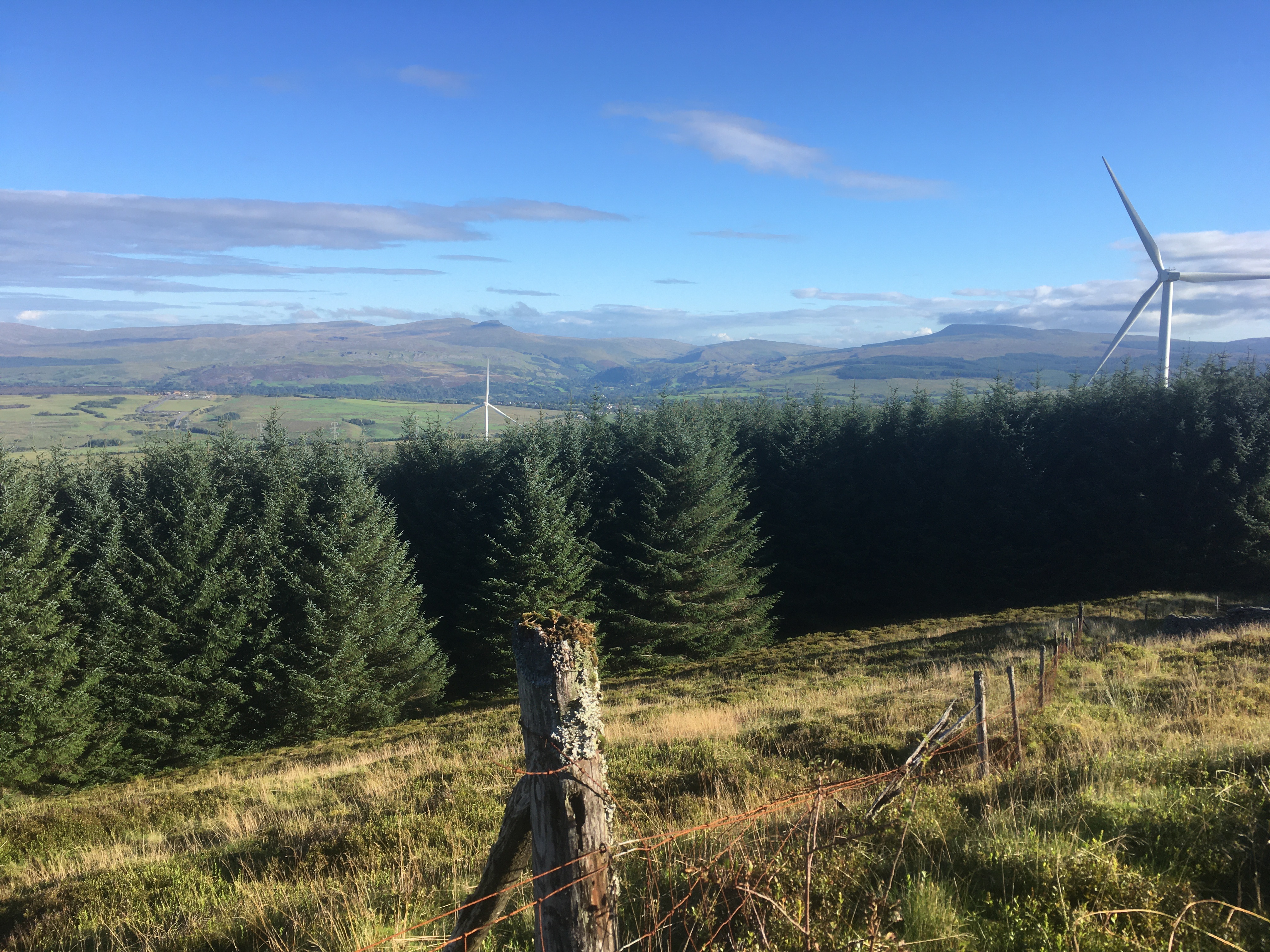
Looking out over the Eastern Brecon Beacons
After the contacts dried up on 2m, I packed up the gear and headed off the summit, getting back to the car in 30 minutes. A great start to what would be a great weekend!
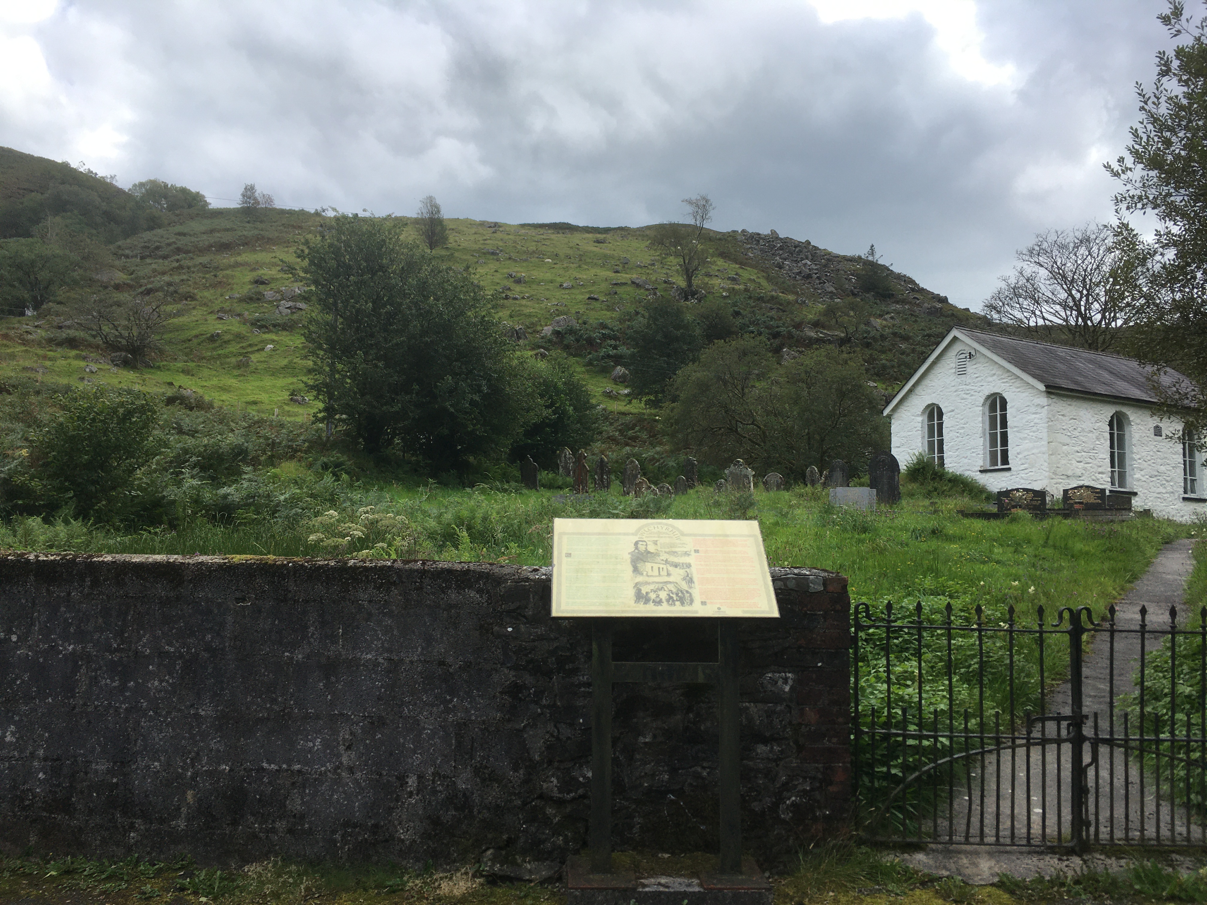
Mynydd Cynros GW/MW-034
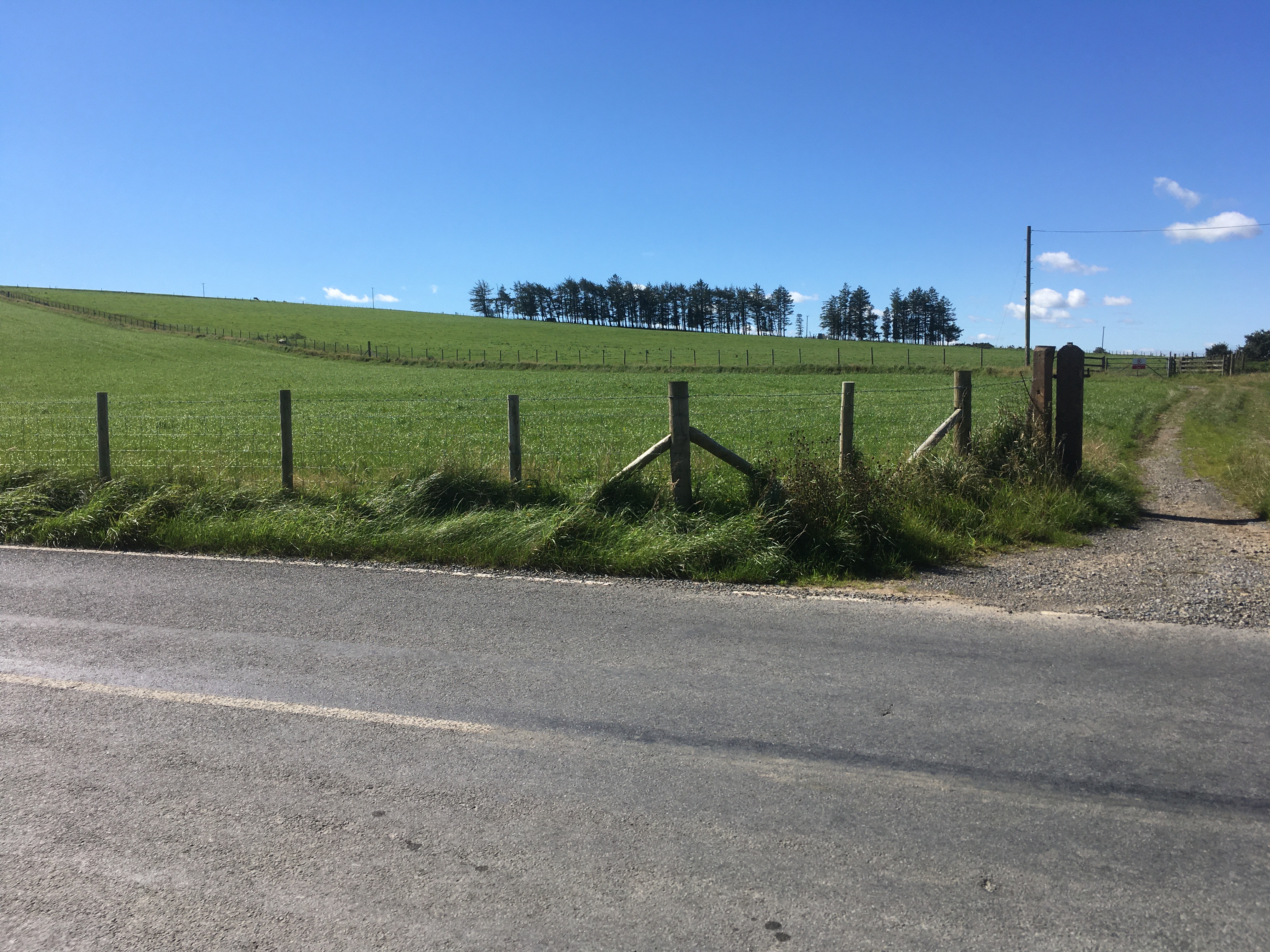
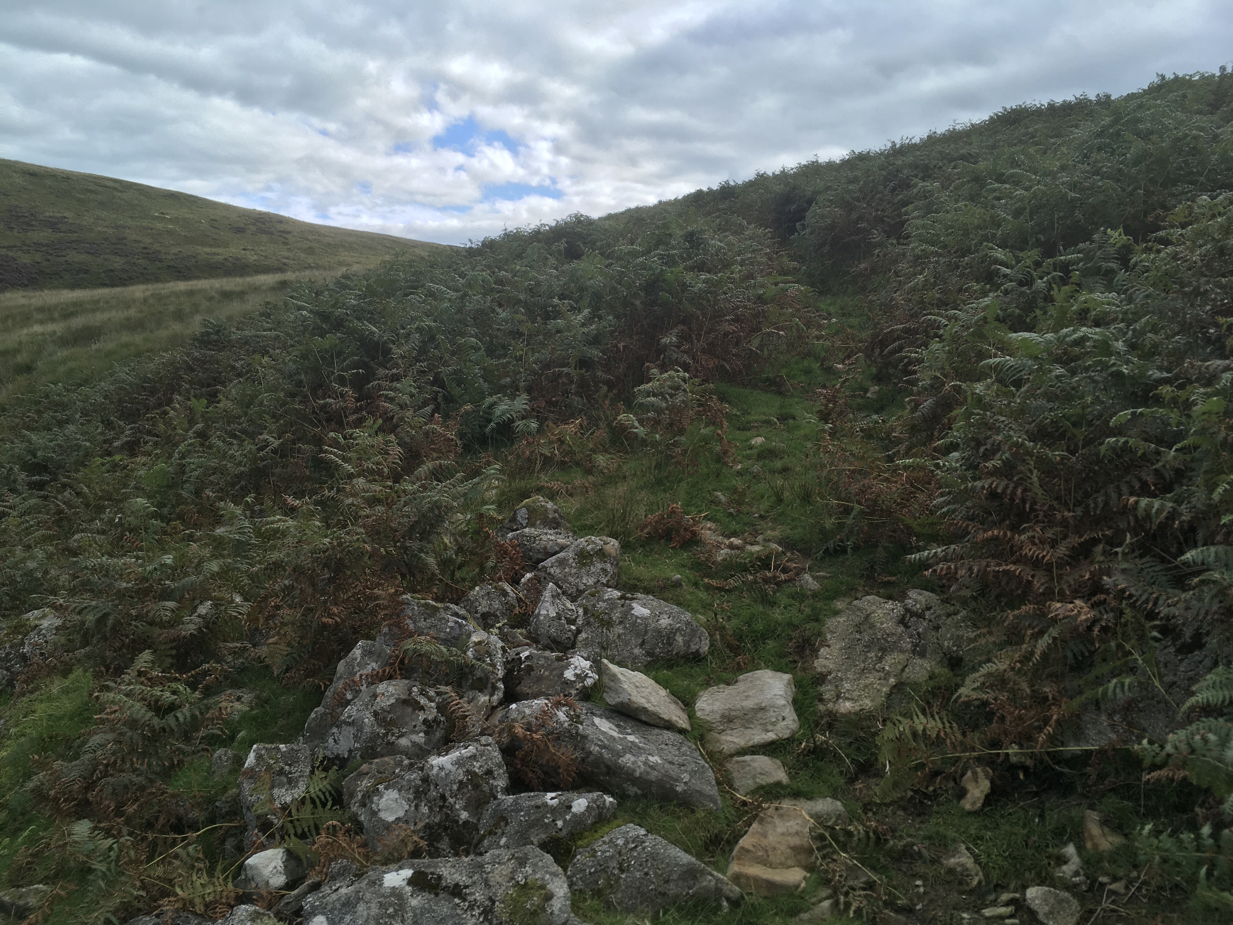
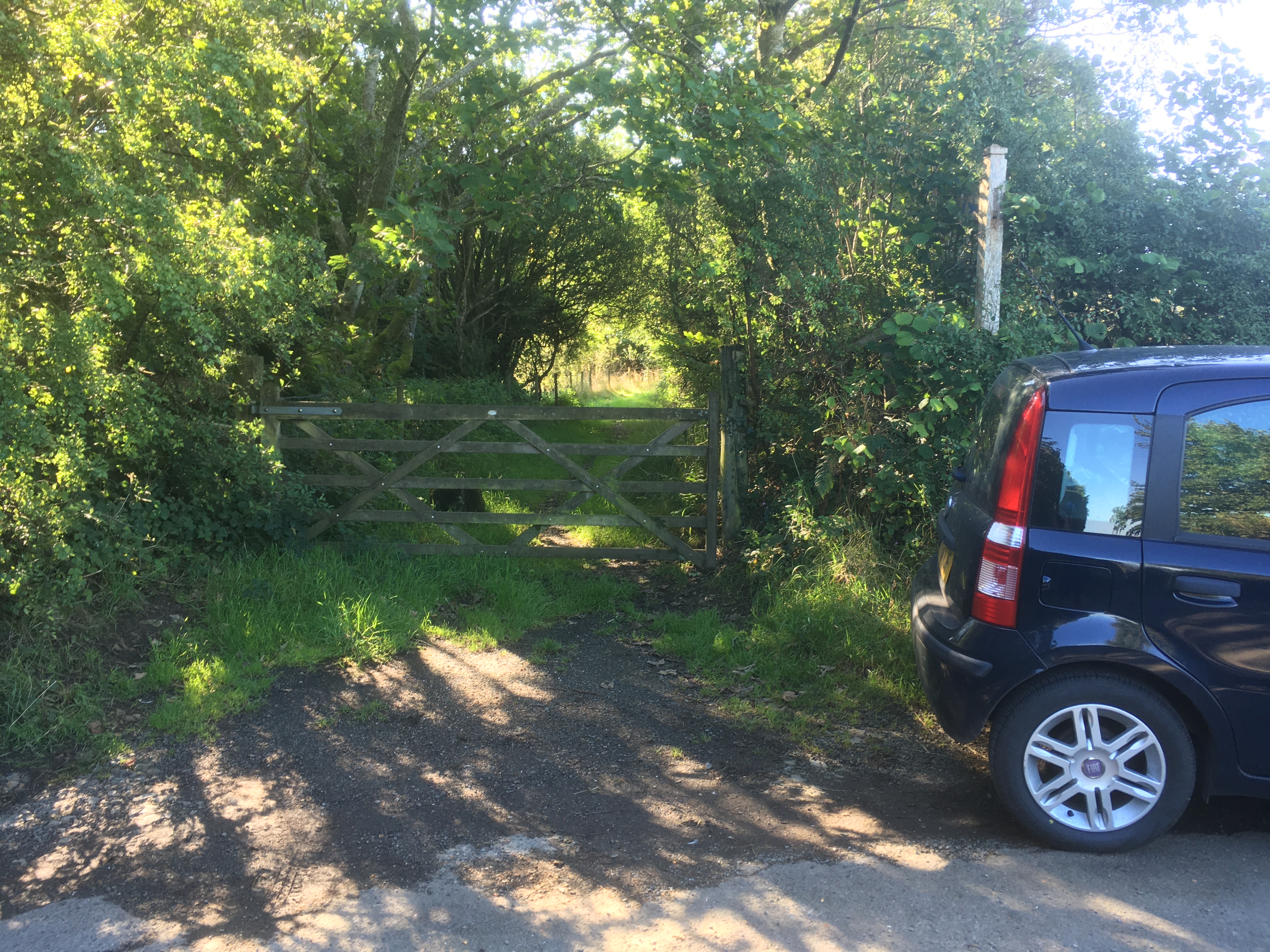
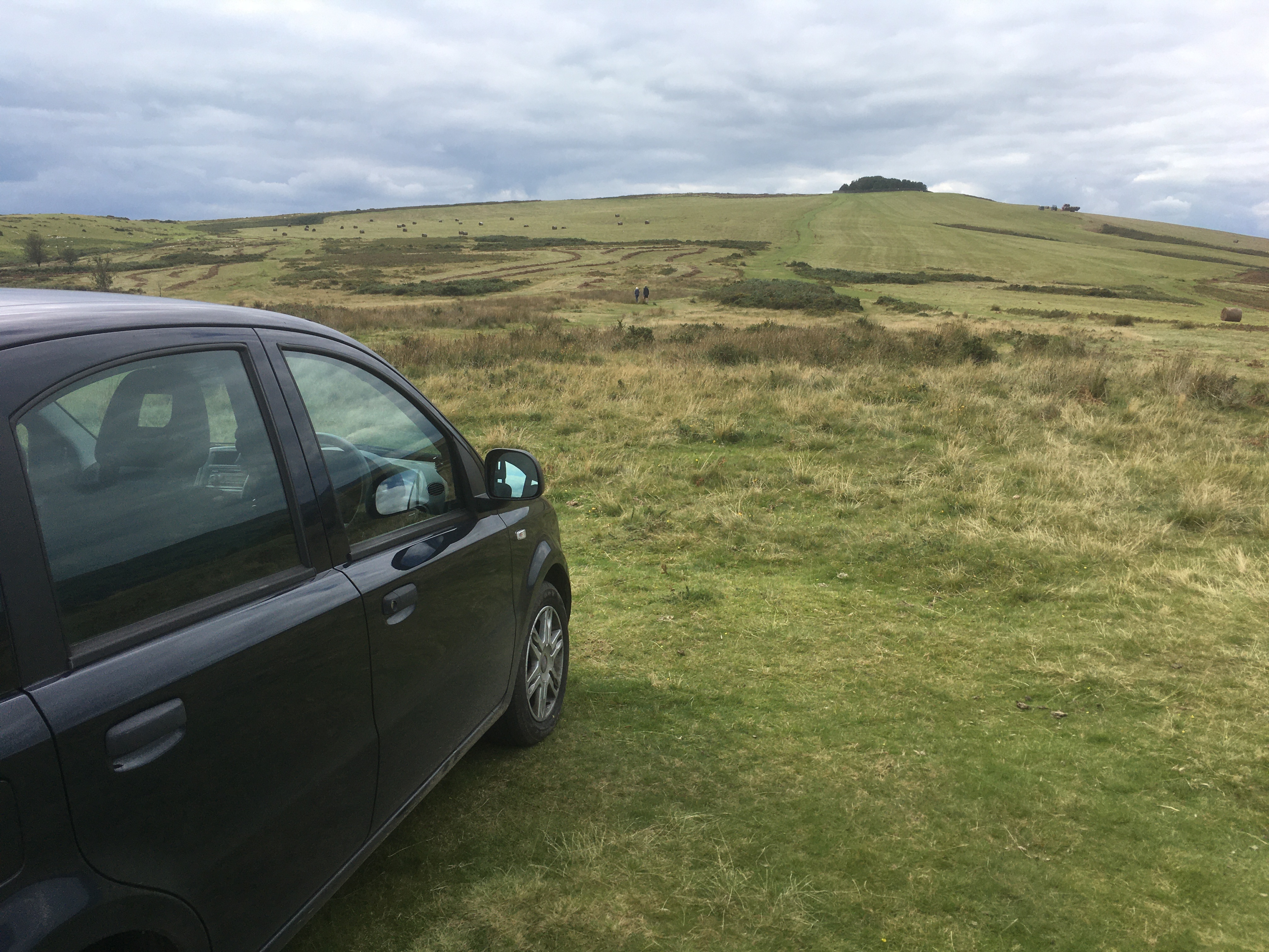
Mynydd Cynros offered many routes up, but I kept it very straightforward, using the small car park opposite the abbey in Talley, where there is space for up to half a dozen cars. From there, I was initially going to walk North up the road, before joining the path West and then South through the forest, but as luck would have it, I found a shorter route directly from the car park.
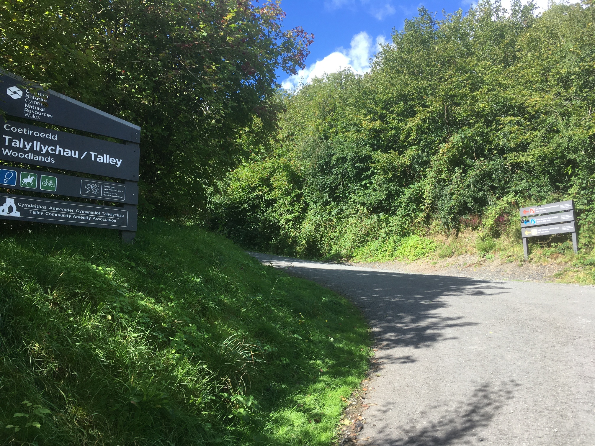
Start of the route
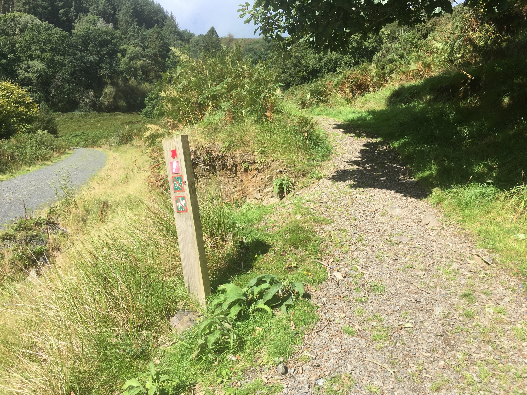
Heading up the Red Route!
There are 3 routes on offer that weave their way through the Talley Woodland, of which the red one is the longest and hardest one. This one also travels West and joins the main path just by the Access Land wherein the trig point lies. OS Maps doesn’t highlight this as a PROW, but you can see which tracks I took from the routecard below.
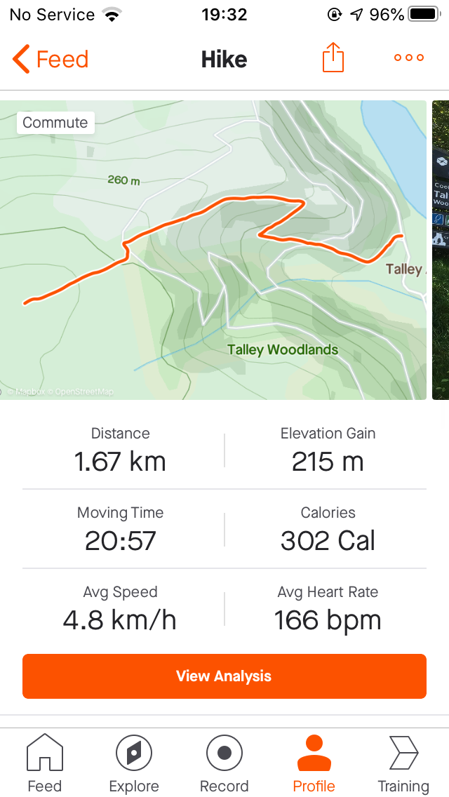
Strava Route Card
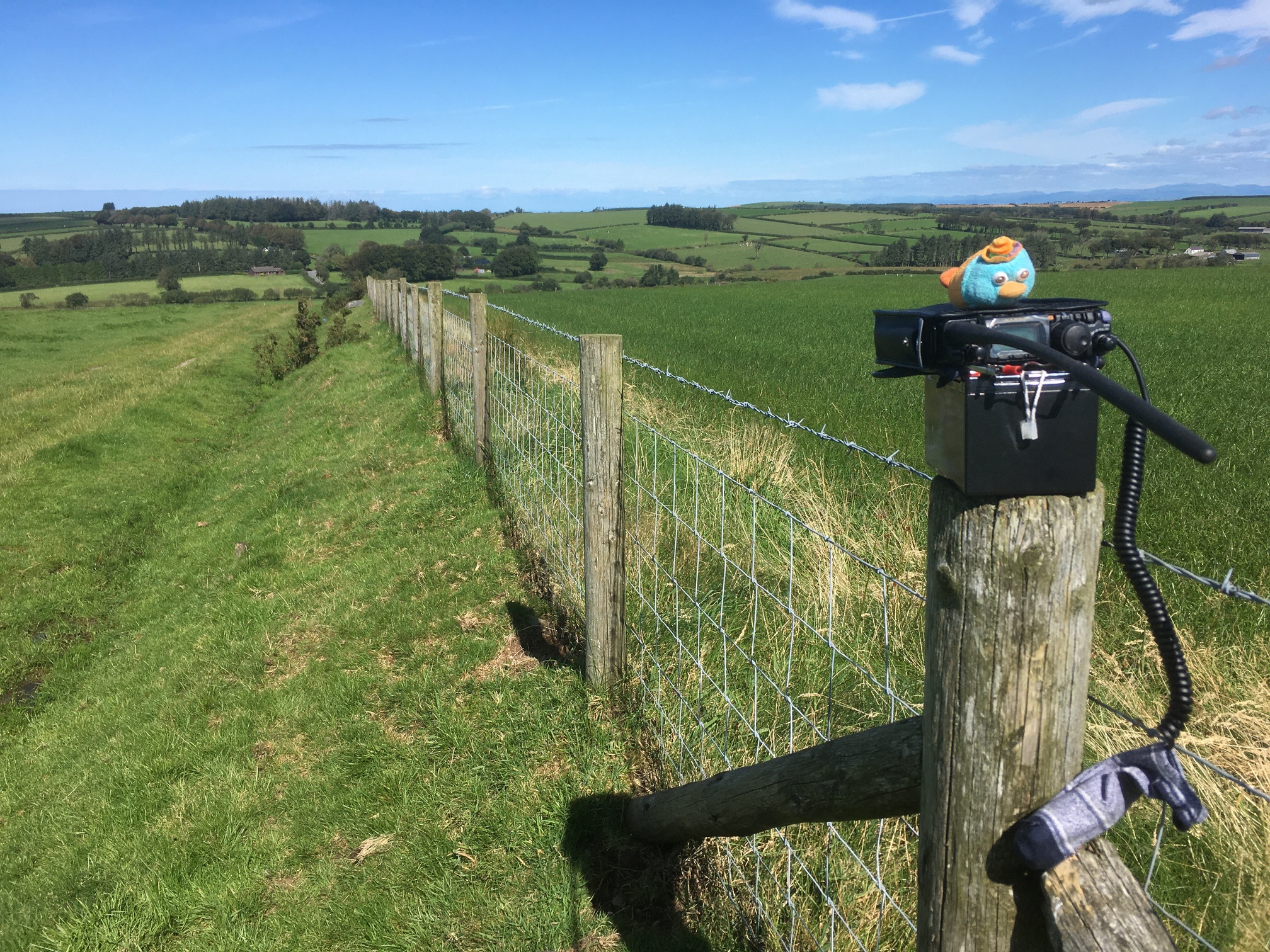
I also found that there was no direct access from the path to the Access Land, however there was a small path in the triangular field adjacent to the Access Land that ran parallel with the fence line, which stopped at a gate next to the summit. Not quite the route I’d set out to do, but it did the job just as well!
All set up!
The wind had picked up since my last activation, so I was feeling the chill as I set up the antenna and settled into the activation. Nevertheless, the activation was smooth, with 7 contacts on 20m, 4 on 40m and 7 on 2m, including S2Ss with 2W0IXM/P in North Wales and Allan GW4VPX/P on GW/SW-005 in the Brecon Beacons, who would become a huge asset across the weekend. There was the threat of rain in the air as I switched from 40m to 2m, but it never materialised. Due to the nature of the weekend, I had only accounted for an hour on each summit, including setting up and packing down, but after having too much fun on 2m, I overran slightly, which meant I had to make up time by bounding down the hill. My bag was lighter than usual, as the small hills didn’t require me to carry everything I needed for the day, so I was able to do a few gentle jogging spurts on the descent to make up the time, getting back to the car in a mighty 15 minutes.
Pen-crug-melyn GW/MW-036
From Talley, it was a 30 minute drive along the B4310 to the small pull-in at the Y junction with the path to the summit, where there was just enough room for 2 cars. I had a quick bite to eat at the car, before setting off on the very short 0.5km walk to the summit, which I could see from the car!
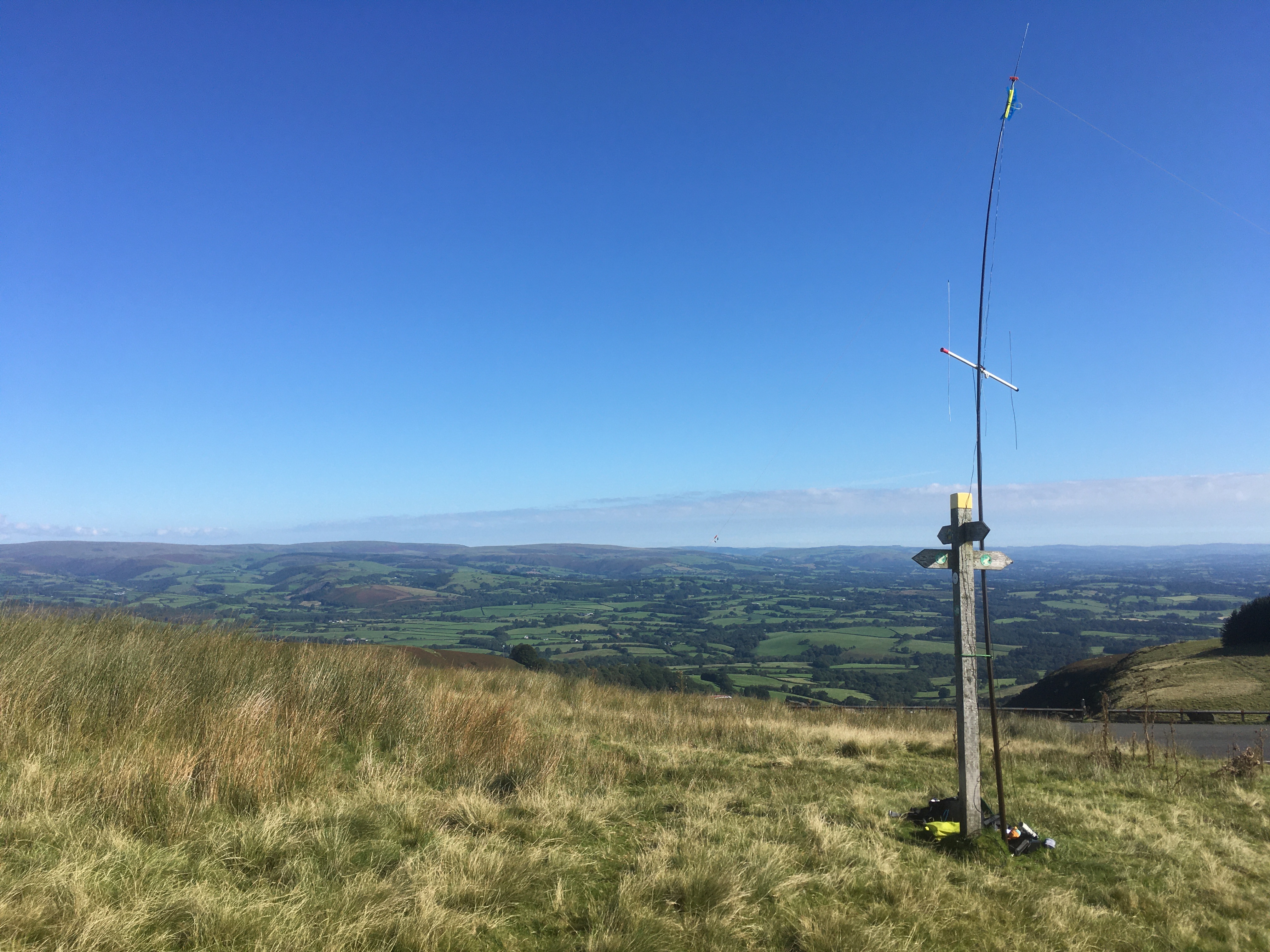
I can see the trig from here…
Strava Route Card
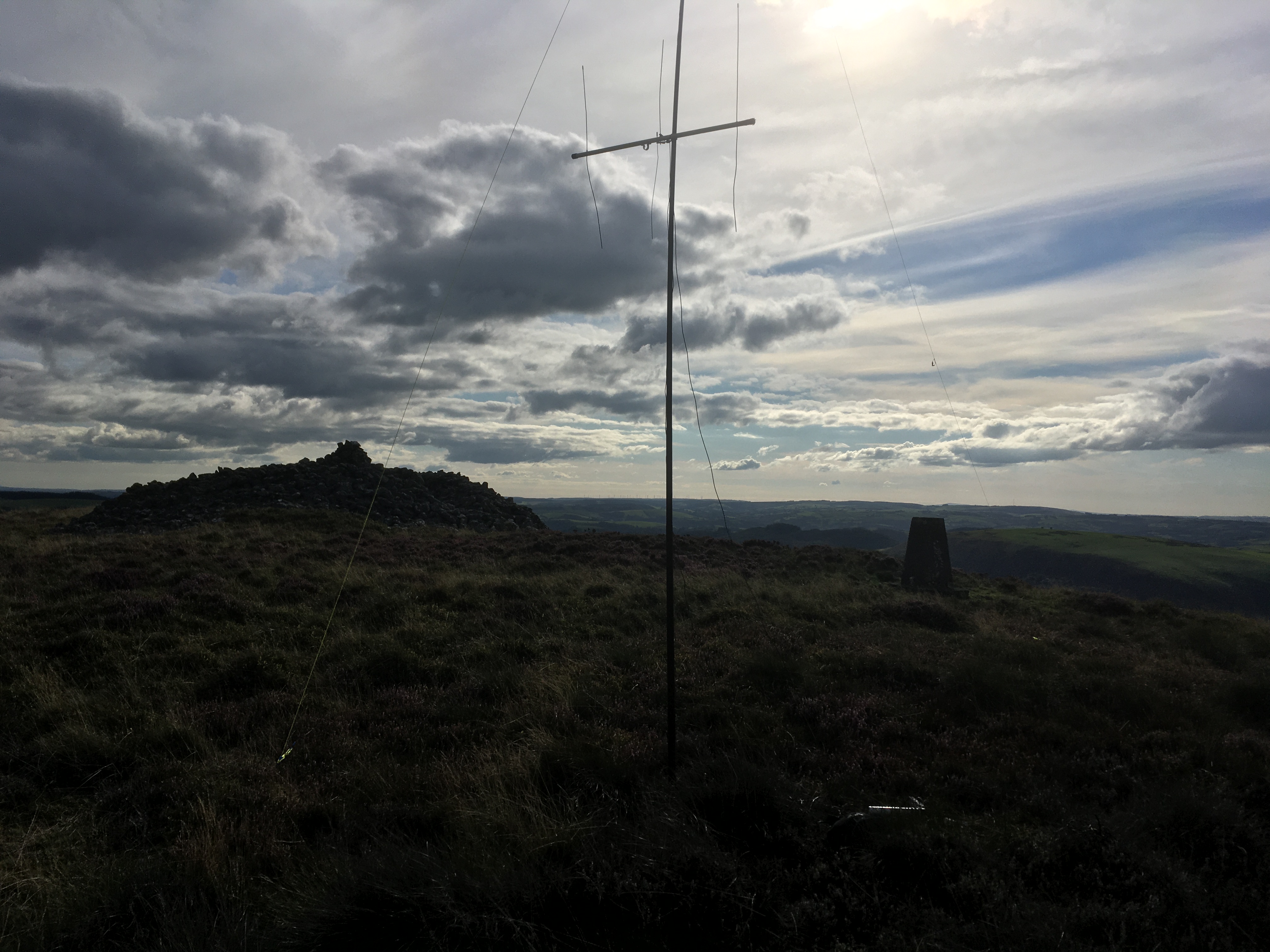
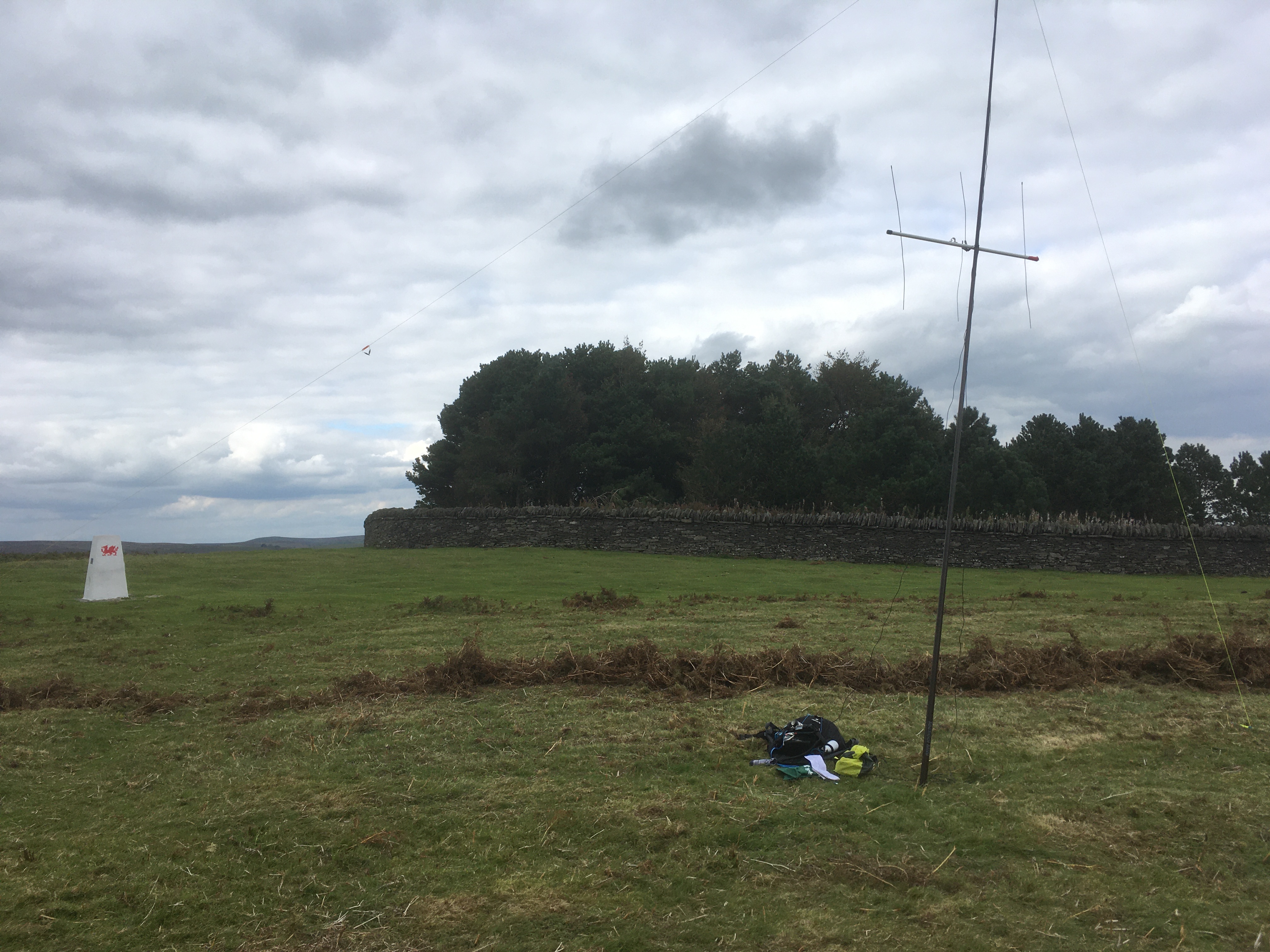
The route takes you through the farm, before doubling back to get to the summit via a small gate. This summit was very windy and I was rather concerned as I set up the mast, placing it within the summit itself for a different setup.
Hmmm. It shouldn’t bend like that…
As per the previous summits, I started on 20m, working 7 QSOs in quick succession, including S2Ss with DB7MM/P and HB9GKR/P in TF land (not the first time I’ve worked him S2S too!) A quick nosy on 2m brought Allan for another S2S on Fan Fawr, but also directed me to Vikki MW6BWA/P, who was on Fan GW/SW-006. Hilariously, when I found her on 70cm, she was informing a contact that she was looking for me too! I announced myself, much to her surprise and then QSYd back to 2m once we’d made the contact on 70cm. It turns out the purpose of her trip out was to get me on both this summit and the next to tick off 2 SOTA Completes, so I was pleased to her her out with that. Unfortunately, I struggled to get Rod MW0JLA/P, sat on GW/SW-007 on 2m, which worried me if I was to get Vikki from the next hill. Nevertheless, even though I was ahead of schedule, I said I wouldn’t leave the next summit until I had worked her or had tried my hardest to work her. I then moved back to 40m SSB, where Rod was able to work me, albeit with difficulty, along with 4 other contacts to qualify on this band. A return to 2m brought a further 2 contacts, so I packed up slowly and made the 5 minute walk back to the car.
Brandy Hill GW/MW-037
A 40 minute drive along the A40 and A478 brought me to the radar tower at the top of the summit. I had a quick dash to the summit, hidden away within the station itself, before returning the car and grabbing the gear to set up.
Found you!
Footnote - I do not like this type of hill. Very low in height, parking next to a tower on an unclassified road never seems to bode well for me and this one was no different. In a similar experience to G/TW-005, I just about squeezed the antenna onto the side of the road, but it just took so much effort. Then, on 20m, I called for about 15 minutes, achieving only 1 QSO with Derek 2W0FLW. A switch to 40m brought 2 more QSOs with regulars Manuel EA2DT and Quique EA1DFP, plus Derek, but I was really struggling with that 4th QSO. Even turning to 2m brought me no luck. At this point, I was feeling rather down, but I wasn’t going to give up. I was, however, going to take down the antennas I switched the FT-818 to the rubber duck and started disassembling the beams, but about halfway through - joy! CQ SOTA CQ SOTA this is MW6BWA/P! It was Vikki - a very scratchy Vikki, but a Vikki nevertheless - on GW/SW-007. I picked up the radio and held it aloft to get as much height as possible and, sure enough, the 4th and final QSO was made. Another SOTA Complete for Vikki, a completed activation for me - result! I finished packing down the remaining equipment and headed off for the 5th and final summit of the day.
Mynydd Carningli GW/MW-033
My drive from Brandy Hill would take me along the A478 and B4313 and directly past my camping spot for the night in Maenclochog, so with some time to spare (despite spending over an hour on Brandy Hill), I quickly popped into the campsite to claim my spot and say hello to the people at Westland West Campsite. Alas, the managers weren’t on site, so I pitched my tent and put my cash through the door (agreed over email in advance) and then continued on to the parking spot on the Eastern side of the summit along the cul-de-sac road.
The sun makes it look quite menacing…
Strava Route Card
Following the directions on the Summits page posted by GW1BXX, the walk to the summit was steep, but straightforward, but the wind was buffeting me quite harshly as I reaching the rocks at the top. I knew this summit would be challenging, as I was a lot closer to the coast, but the views more than made up for it.
Isn’t it gorgeous?
With no-one else around, I set up on a flat spot on the northern side of the summit and called on 20m, despite the band not being that active. No contacts, so I switched to 40m, where I made 2 QSOs. The mast was being blown around something awful by this point, so I was having to hold it between my legs to stop it moving around so much. Another change to 2m brought local and regular Frank MW0OFA, followed by Kevin GW8ANC in the nearby town of Newport. Amusing point of the day - his shack faced the summit and a colleague he was with at the time had a pair binoculars, so I grabbed the H/H and stood on the highest bit of rock and waved. They could see me! They then also saw my antenna disappear as the wind took it down behind me. No matter - I’d qualified and was already done with HF. A 5th and final QSO with Allan GW4VPX, who had arrived back home, completed the activation, so I packed up and set off for the 15 minute walk down the summit, but not before enjoyed the spectacular sunset over the majestic Pembrokeshire coast.
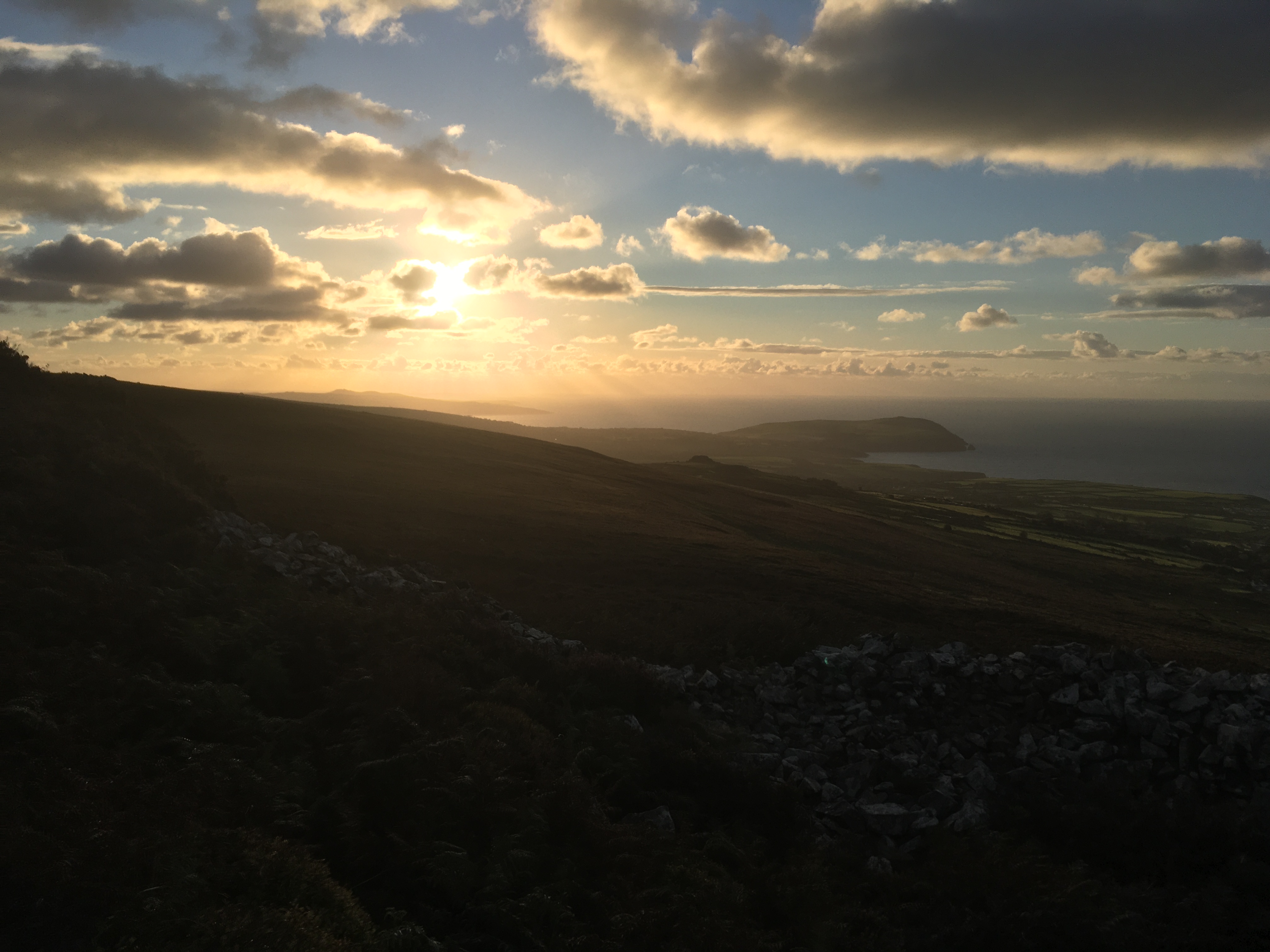
What a way to finish the day!
I’d not been out playing SOTA at this late hour for years, but it was a cracking way to finish off the first day of my tour. I got back to the car and headed over to Fishguard to refuel and pick up some pre-ordered fish & chips (Hooked @31 - recommended!), before heading back to Westland West Campsite. It was quarter to 9 by the time I got there, so was pleased to have pitched up whilst there was still daylight! After devouring my evening meal in the car, prepping for the morning and using the facilities, I was settled down into bed by 10:30pm, although, due to the wind rattling my tent, 1am was the earliest I “think” I went to sleep…
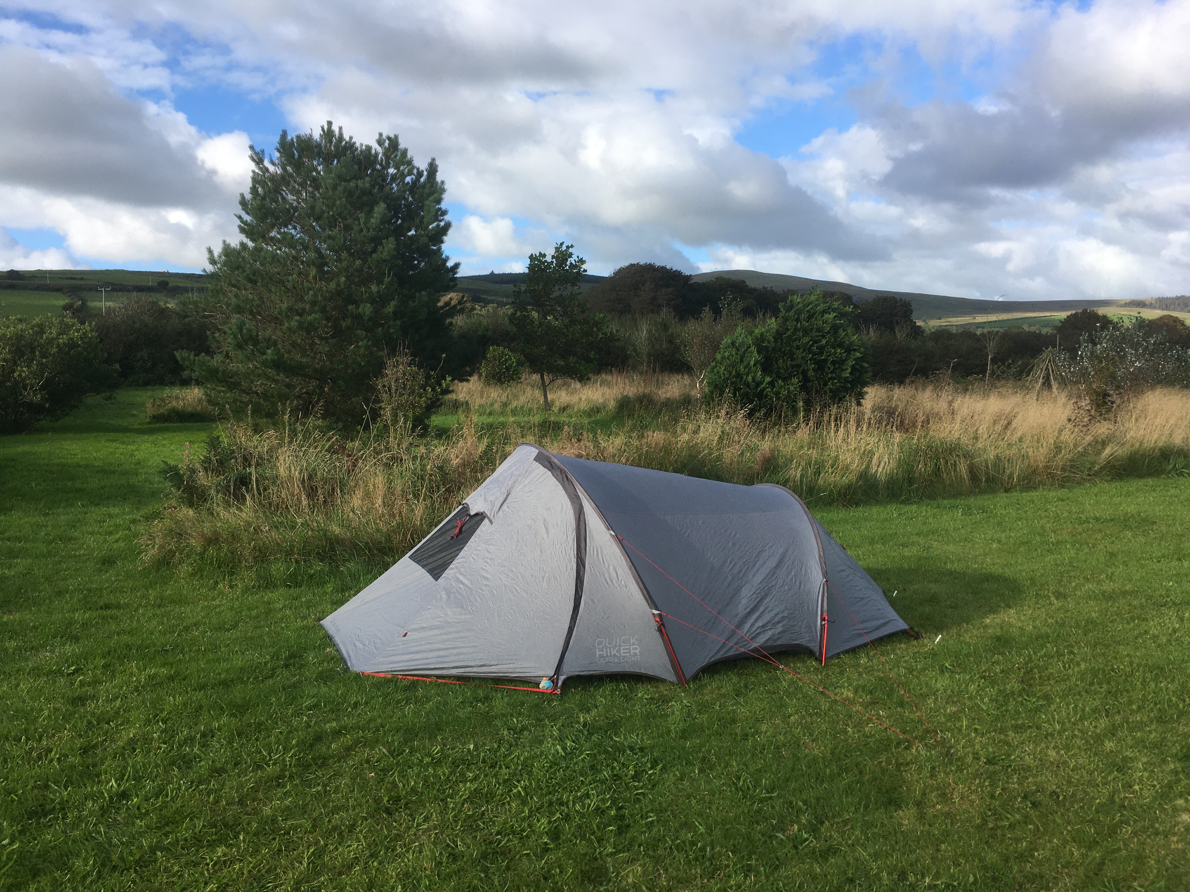
Tent pitched prior to the final activation
Day 1 Summary -
Hills activated: 5
Miles driven (approx): 246
QSOs: 64
S2S QSOs: 10 (7 different summits)
Kilometers walked (approx): 13.32


 .
.


 Dates now amended - thanks for the spot!