Missing link Steve?
Oh LOL, yes it looks like it, but no, that’s actually the name ![]()
Linky:
Right ho Steve.
I didn’t like the look of all the permissions it was seeking though.
As a minimum I think any map app suitable for hiking will need to be able to display topo maps (with contours). This looked more of a sat nav. Am I wrong?
Ah that is actually true!! My bad.
Permissions wise, I’m pretty paranoid myself, unless it has extra ones now (I update if it’s not working, not daily as Play would have me do almost…), I wouldn’t have installed if I thought too invasive.
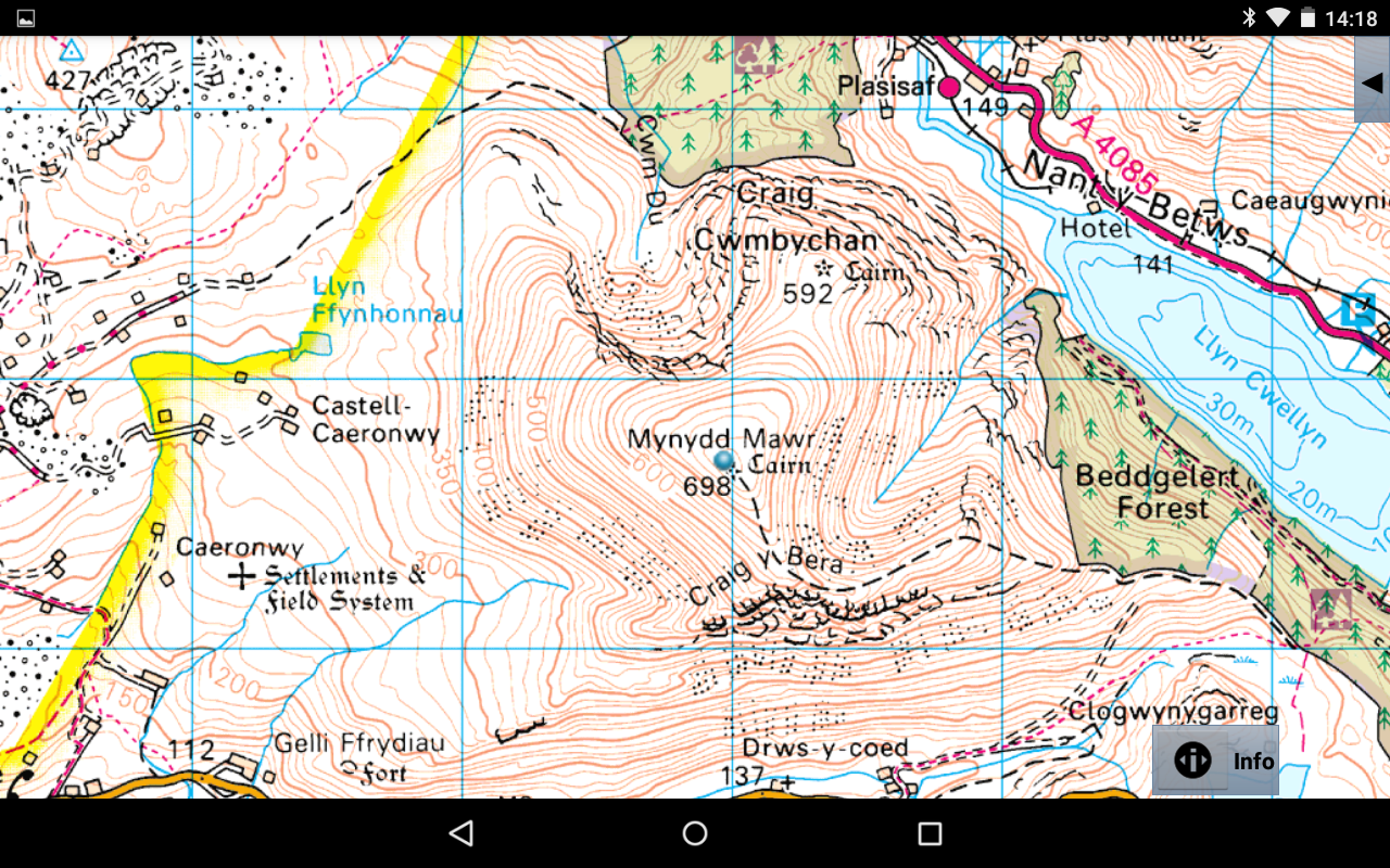
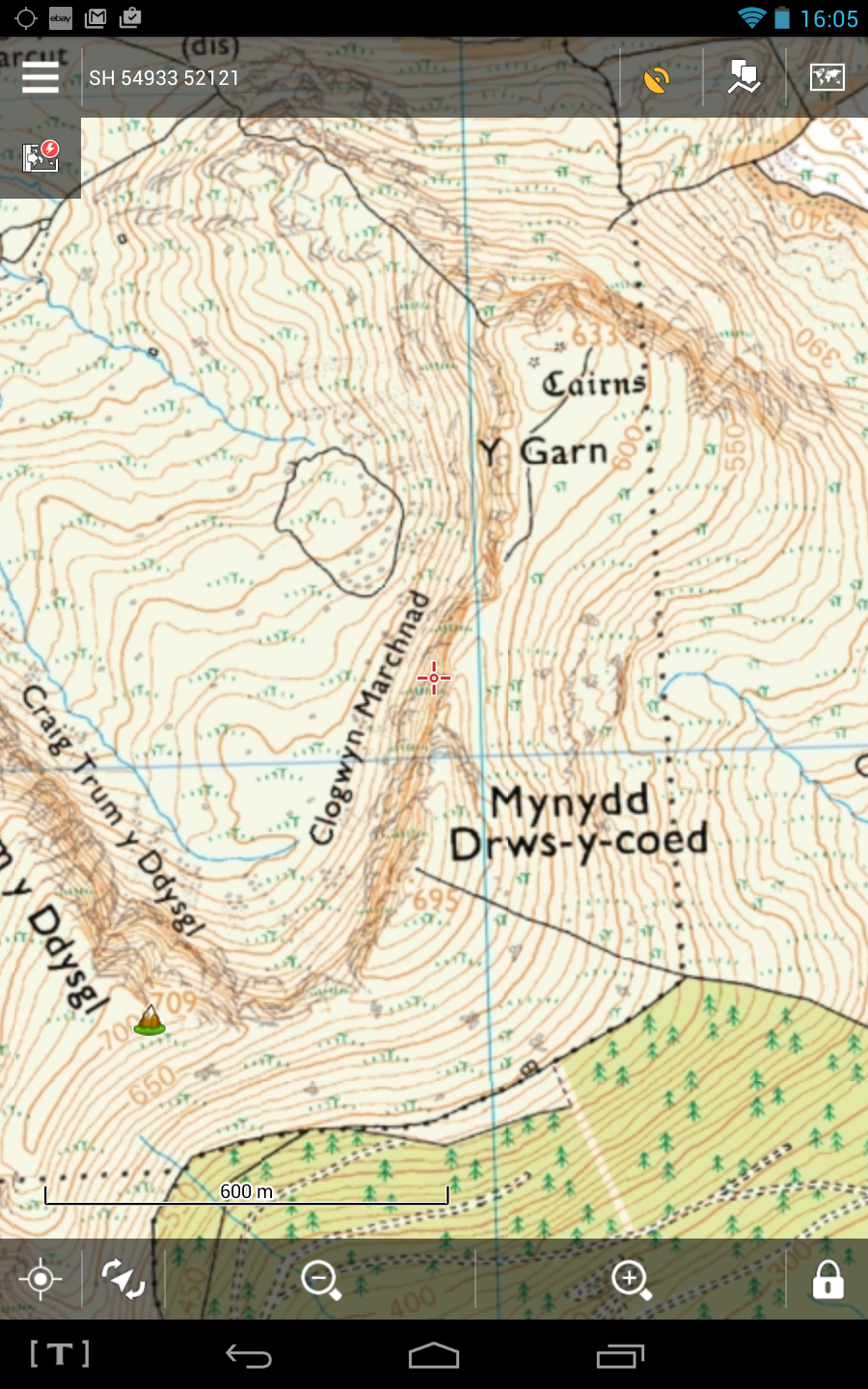
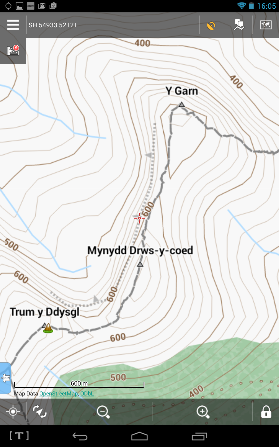
Just a comparison between OpenAndroMaps British Map + Orux and the OS 1:50000 Map + Anquet (Standard definition 2006issue). Screenshots taken on my Nexus 7 Gen1
OpenAndroMaps
OS 1:50000
One costs real money and one doesn’t!
Ah, but go south a little…
OS looks a lot better and shows tracks through the forest. If I get lost in a field I might be able to figure out where I am from the wall lines.
However, those tracks don’t go anywhere useful (old forestry experiment). OSM has the track along the Nantlle Ridge, as you would expect for a popular trail. (Of course you’d have to shut your eyes to miss this path in reality)
It’s great to have both, and throw in some satellite images too!
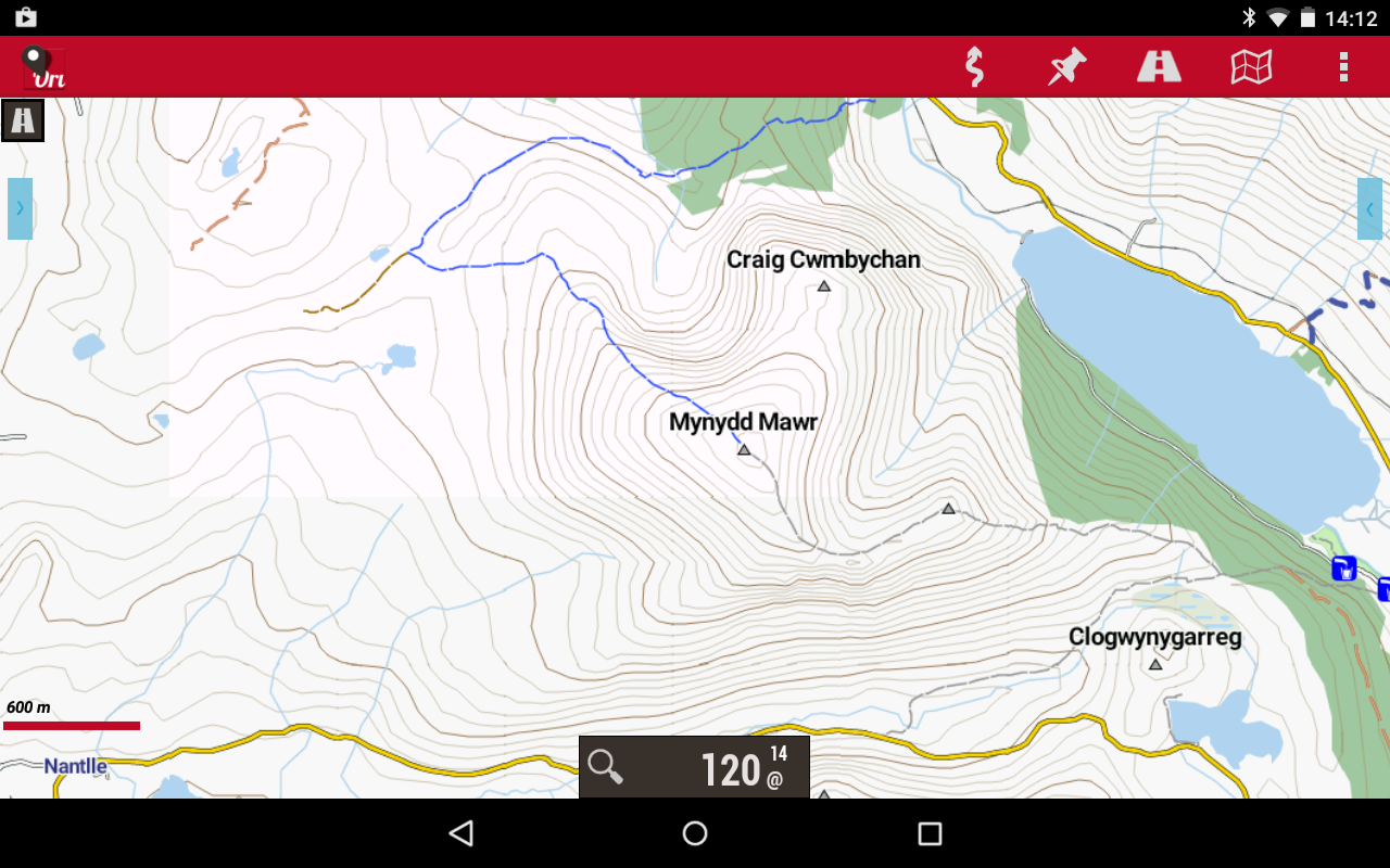
I tried the Viewranger app, with a view to buying maps, possibly - didn’t like the app as much as Locus. Trying Anquet (without buying any maps) means splashing out 50p! The pressure is growing!