Alex G7KSE is on holiday in North Wales and suggested some 13cms skeds. With a nod and wink we had myself on Ballencleuch Law GM/SS-075, Jac GM4COX on GM/SS-028, Andrew G4VFL on G/LD-012, Nic G0HIK was meant to be on Black Combe G/LD-030 and Alex was on Holyhead Mountain GW/NW-069. Also Derek 2E0MIX popped out to Scilly Bank near Whitehaven. Sounds like some spanking fun to me.
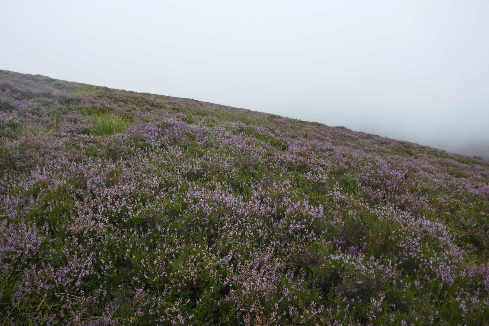
What could possibly go wrong? Well the WX wasn’t brilliant but it should have been OK. In fact I thought the end of the world was coming when I finally got to the summit with howling winds, incredibly thick mist and it was cool. Typical Scottish Summer mountain weather. The easy bits, I worked 5 on 2m FM using a ribbon feeder J-pole, GM4COX/P, G4VFL/P, 2E0MIX/P and GM4CXM and ODX at 140km Rob GM3YTS/P on Meall nan Tarmachan GM/CS-015. Rob told us it was windy but glorious blue skies whilst myself and Jack were soaked from wet grass/bracked and driven mist.
I didn’t hear Nick or Alex on 2m never mind 13cms. I did hear Derek but never managed a QSO but Jack and Andrew were 59++++ on 13cms. Once more they were both stronger on 13cms than 2m which makes me smile because little else of today’s walk did.
I did Ballencleuch Law nearly 14years ago to the day. I’d done its neighbour Well Hill GM/SS-112 which is easy and I was just in the cloud then. The normal route is down the steep fence, across the track and up the brutally steep slopes of Durisdeer Hill then follow the fences (cutting some off) to Ballencleuch. But it’s a wee trek and that slope was brutal 14 years and being 14years old it would be double brutal today. From the car park to the summit that way and fence following is about 2hrs according to the computer. I wanted to be setup and ready to roll long before zero hour (1100Z) . So I thought I try it the direct route, along the path to the big sheep shed then over the water, up Gana Hill and thence Ballencleuch Law. 1hr30… it could not be simpler.
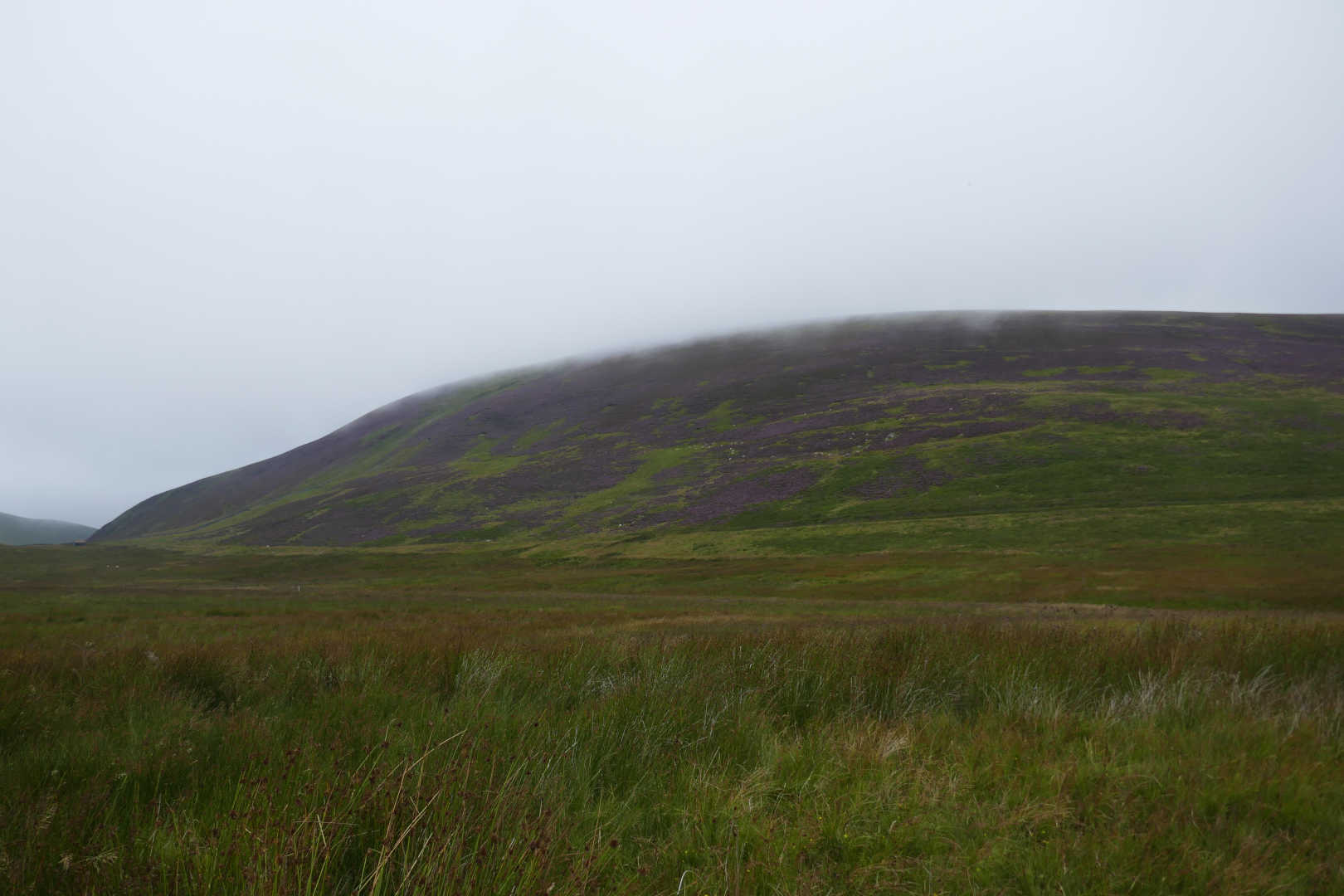
Well when I was last here I discovered that it’s a nasty bogfest… I was seriously scared I was out of my depth coming down out of the mist 14years back as I ended up in a huge area of bog which was difficult to backtrack out of and that was 600m up the hill. The ground at the bottom was even worse. But we have had a long, long dry spell so the bogs will be bogs but the boggy ground will be dry. Also Phil G4OBK reported this route was OK. I bet he could see what he was doing though 
So what went wrong? Well I forgot the paper map, left it in the car. I use paper maps and read the ground to guess where I am and confirm it with the GPS. I never, ever follow the GPS display to get to the target. I’ve discovered even with a GPS I’m blind. I’m just so used to see the big picture on the paper map that I really can’t cope using just the GPS.
Here’s my route with the errors numbered in red
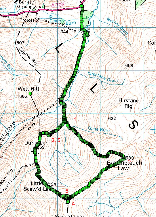
©Crown copyright 2021 Ordnance Survey. Media 018/21
#1 I knew that I was to cross the Gana Burn and walk up Gana Hill to Ballencleuch law. Except I heard the bleep from the GPS and knew to walk down to the sheep sheds then I saw an ATV track and clipped the GPS on my belt and followed the ATV track. Why? Well it must go where I wanted? After some grunting I was in the mist climbing away till I checked the GPS.
#2. The map on the GPS didn’t make sense… my position was not on the track. Without a large scale map I reversed the image in my mind and thought “I am going the right way… the other route I can see in the GPS display is the other longer route that follows the fence. Not what I want.” So I walked on and was perturbed because I was climbing up the hill but the predicted arrival time was getting later.
#3 I turned towards the route I could see and walked for a bit to see some track appear and it didn’t fit my mental image of the hills. So I continued knowing I was going the right way, which was wrong. THIS KIND OF MISTAKE CAN BE FATAL. There are countless numbers of incidents when pilots ignored their instruments because they knew the instruments to be wrong. Shortly after this they do a CFIT (controlled flight into terrain). i.e. they crash and kill themselves.
Then I walked into the fence. By now it was howling wind and really thick mist. So I selected the route to follow the fence and it told me to follow the fence and climb which was correct and I agreed with the GPS. So I laboured up the hill. The grass got very long, it was very wet from the mist… my trousers got very wet. But the wind was so strong the wetness peaked, I was soaking up water as fast as the high-wicking trousers got rid of it. Then there was a steep drop as I reach the col between Durisdeer Hill and Little Scaw’d Law. I didn’t remember this from previous and if I had the map I’d have realised that this is where you can cut off a lot of route. I probably wouldn’t have done it anyway as I couldn’t see much more than 50m and I was wary of bogs up here.
#4 I remembered the route turned and because my mind had inverted the map I turned the wrong way and followed the wall and fence. Hey I knew where I was so why look at the GPS. (Yes, I am that stupid.) But my GPS bleeps when you reach points on the route and it wasn’t bleeping yet I was gainfully walking 135deg away from the right route. When I clipped the GPS on my belt I hit a button and there was a menu on the screen… it doesn’t bleep when there is a menu. As I walked I thought if this goes to the top why is there a wall and fence… there’s only a fence at the summit.
At this point I thought… hey use OruxMaps on your phone with the bigger display. So I did and was saddened to see where I was. I swore loudly many times and turned 180 degs and walked back to the fence. Then I knew I had to go the other way following the other fence. So because I was now completely disoriented and despite having a big GPS map display and a bloody arrow on the other GPS I went back the way I came.
#5 When I saw a broken fence post spotted on the ascent I stopped and got the phone out. The touch screen didn’t want to work with damp fingers. After much wiping I got the map up and swore again, turned back to the fence junction and finally went the correct way. But in doing so I crossed the fence and so I approached the summit with the fence on my left. Last time not crossing the fence it was on my right and so I thought I was approaching the summit from the other direction despite looking at the map on the phone showing my position.
Finally I got to the top, there’s a new marker which I forgot to photograph and did the activation. 2 fleeces and after 50mins in this I was getting cold so packed up and then decided “For gawd’s sake don’t walk off the wrong side.” Now during the operation I had my compass out so I knew the bearings to the other guys. I knew I wanted to go North East and so…
#6 I promptly set off the wrong way as I hadn’t realised still I was on the wrong side of the fence. It didn’t feel right and considering how wrong my feelings had been I don’t know why I checked again. 180deg about face and I was finally off in the right way down. There’s a sudden 90deg turn just as the contours space out…I hit a significant area of bog that was at least as deep as a walking pole. I walked around the edge of it and slowly made my way back to the descent route.
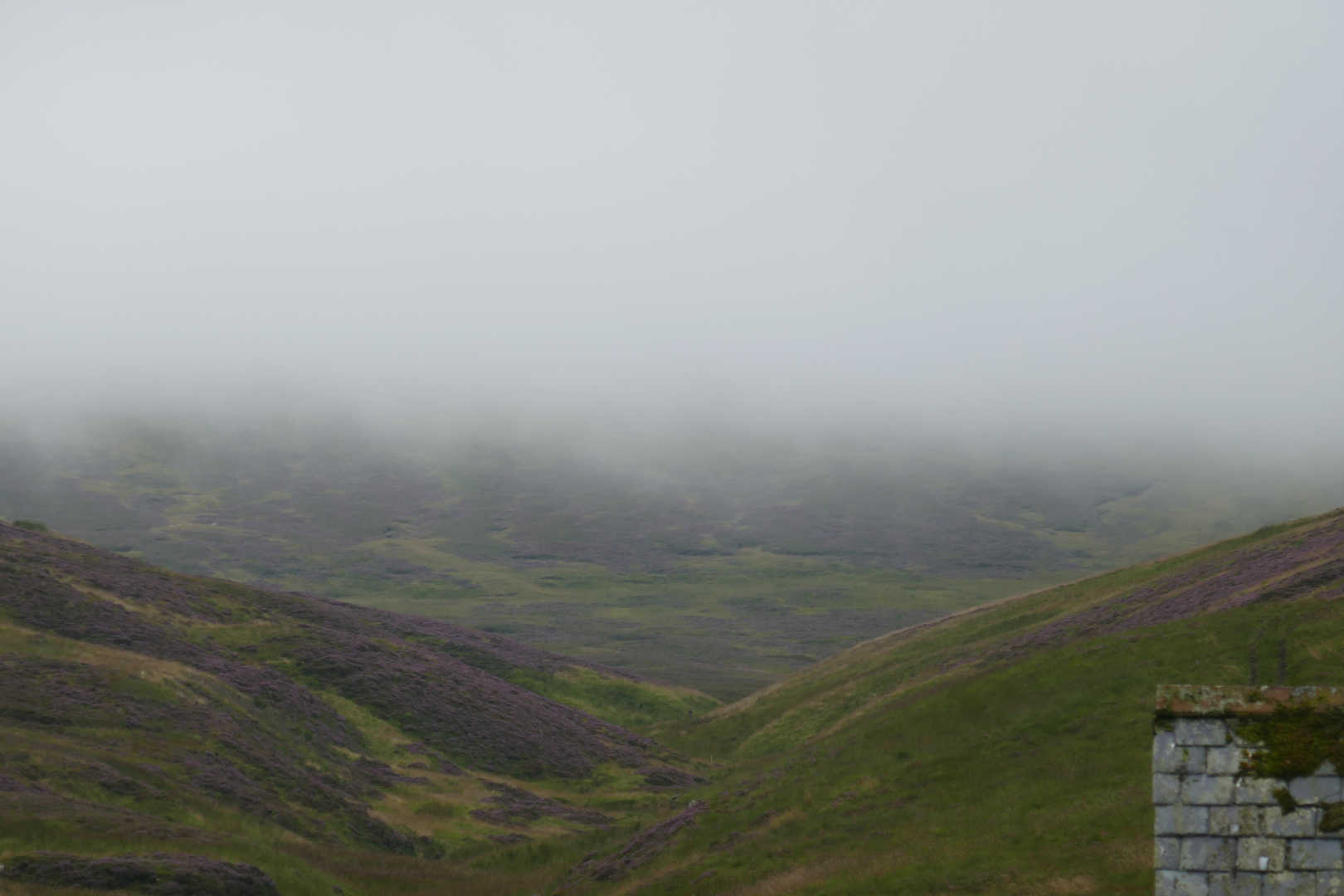
The mist had dropped a lot lower during my fun and I finally popped out around 400m. When you can see where to go it’s all much easier.
Now you may think I’m a right idiot doing this and admitting it in print. I’ve been walking in the hills for 15years next month and have been in the mist so many times but have never managed to get so completely screwed up and disoriented. What scares me is how can I be so dumb to ignore what the GPS was telling me. I have no explanation for that and I know I’m not the only person who knows they are right despite what instruments are telling them. So if this makes just one person think harder next time they are in the mist then my embarrassment is their gain.
All of this made a 4.5km 380m ascent into a 6.8km 582m ascent that took 2hrs30 to get to the top instead of 1hr30.
What a plonker.