GM/WS-003 Carn Mor Dearg & GM/WS-001 Ben Nevis - 24th March
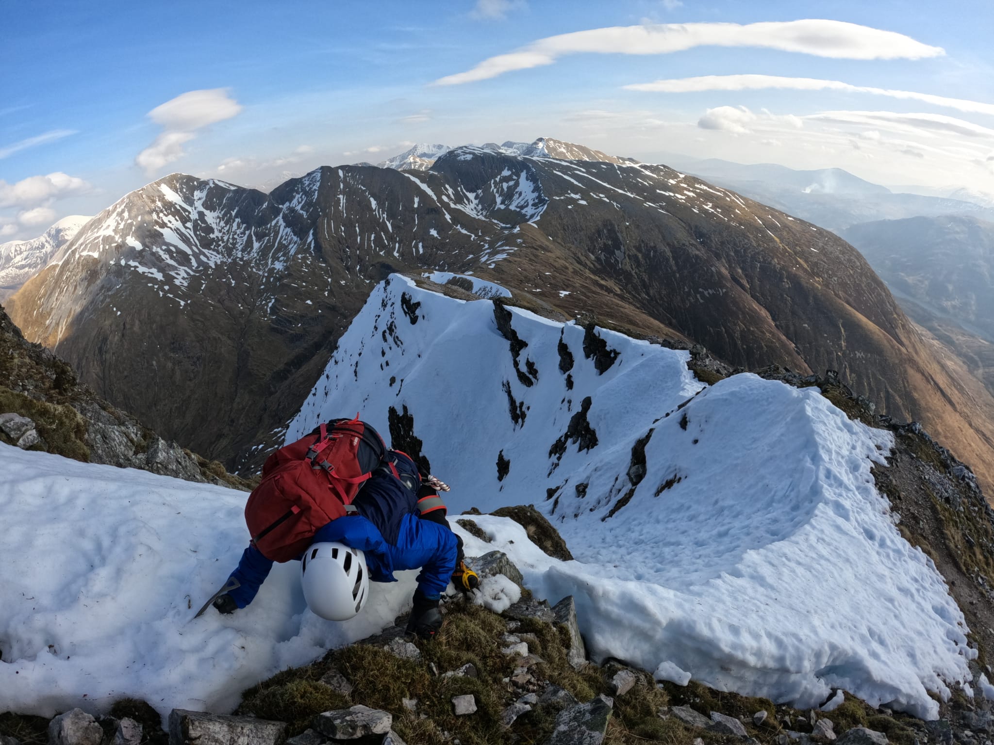
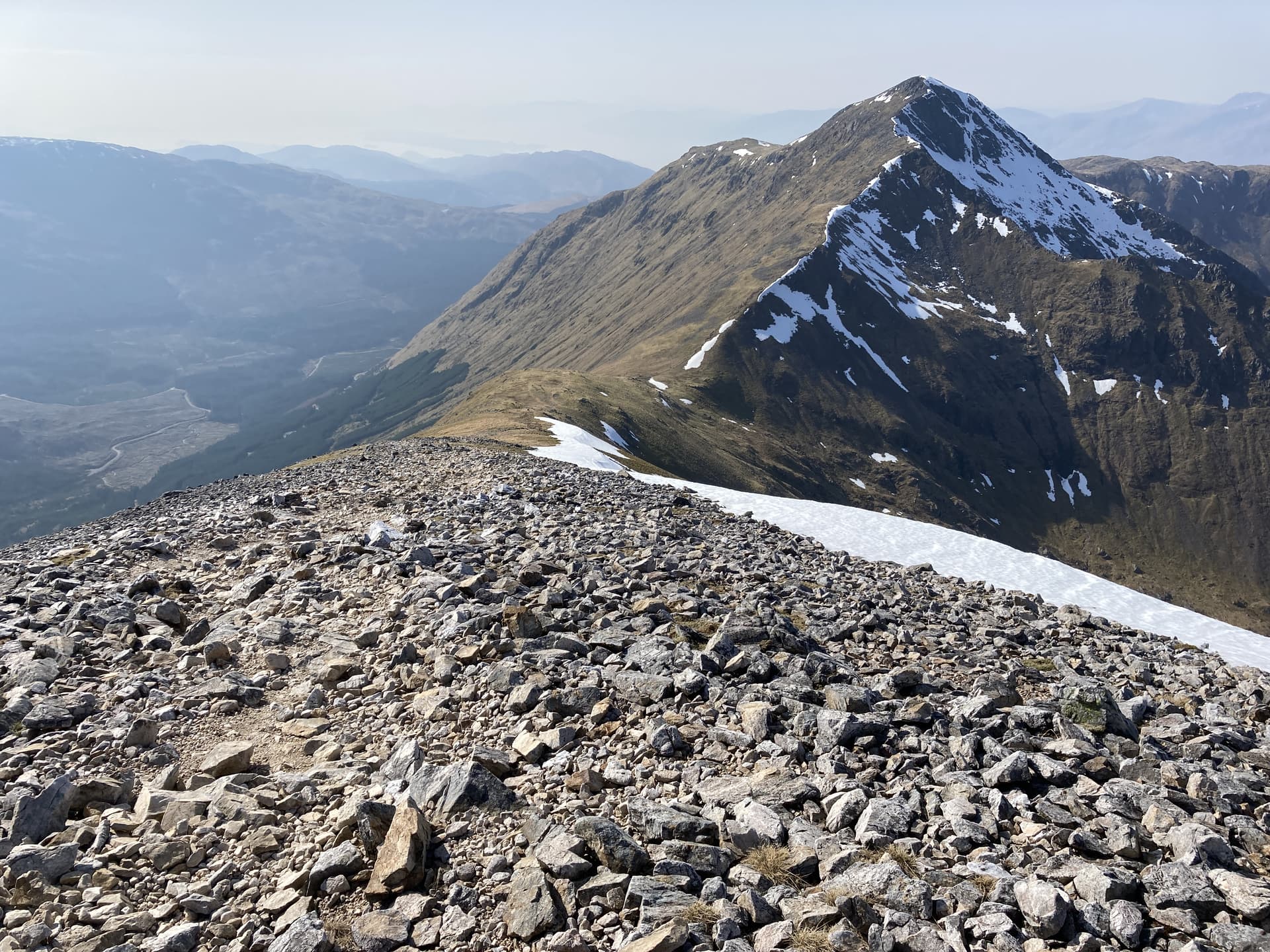
Ben Nevis is the highest mountain in Scotland and the British Isles at 1345m. It is normally climbed by thousands of tourists each year via a gravel track to the west of the summit. A more interesting approach is via the CMD arete to the east. At this time of year it is little more than an airy winter walk in crampons but is still a classic winter grade I route (and one that has claimed lives).
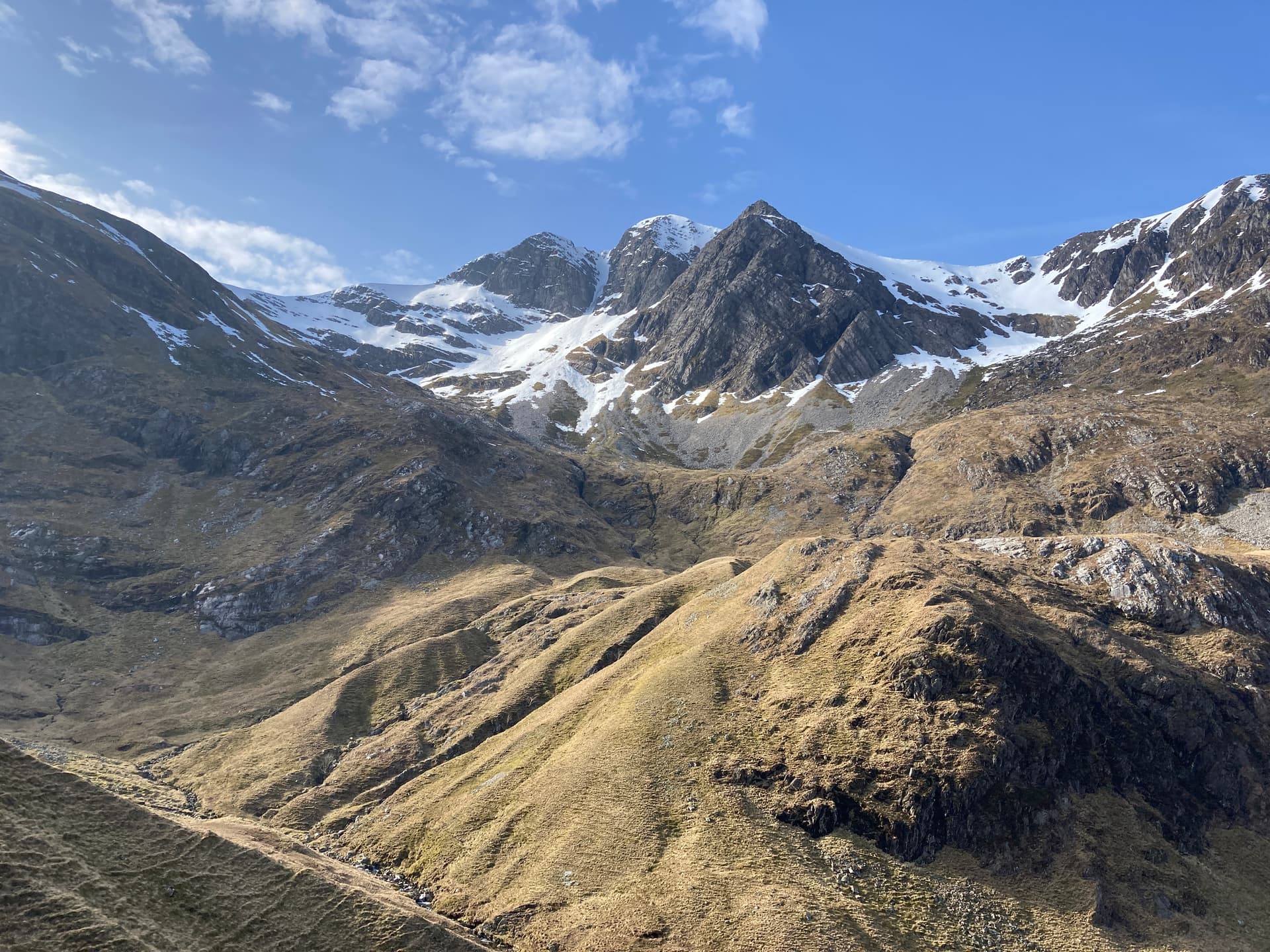
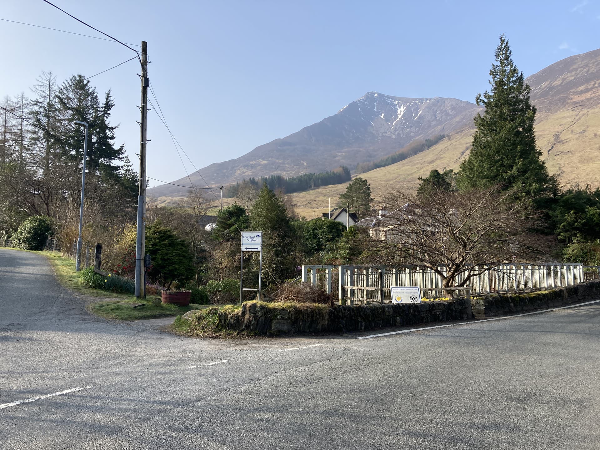
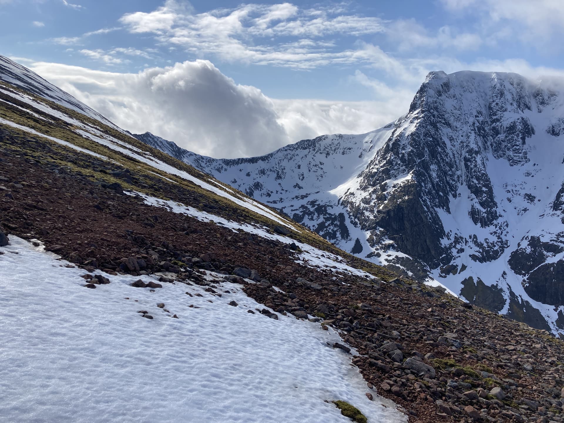
We had superb views of the “venomous mountain” as we approached from the North Face car park.
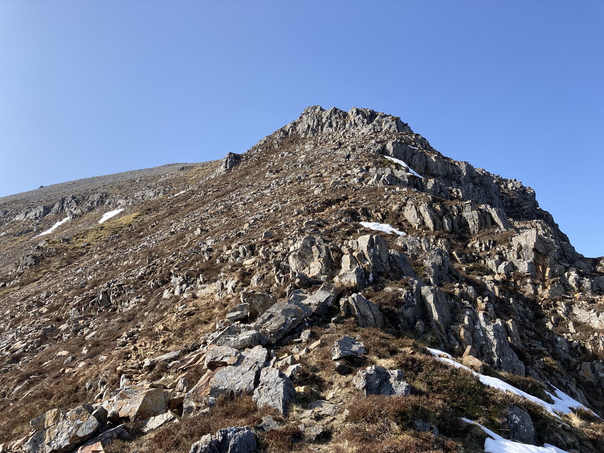
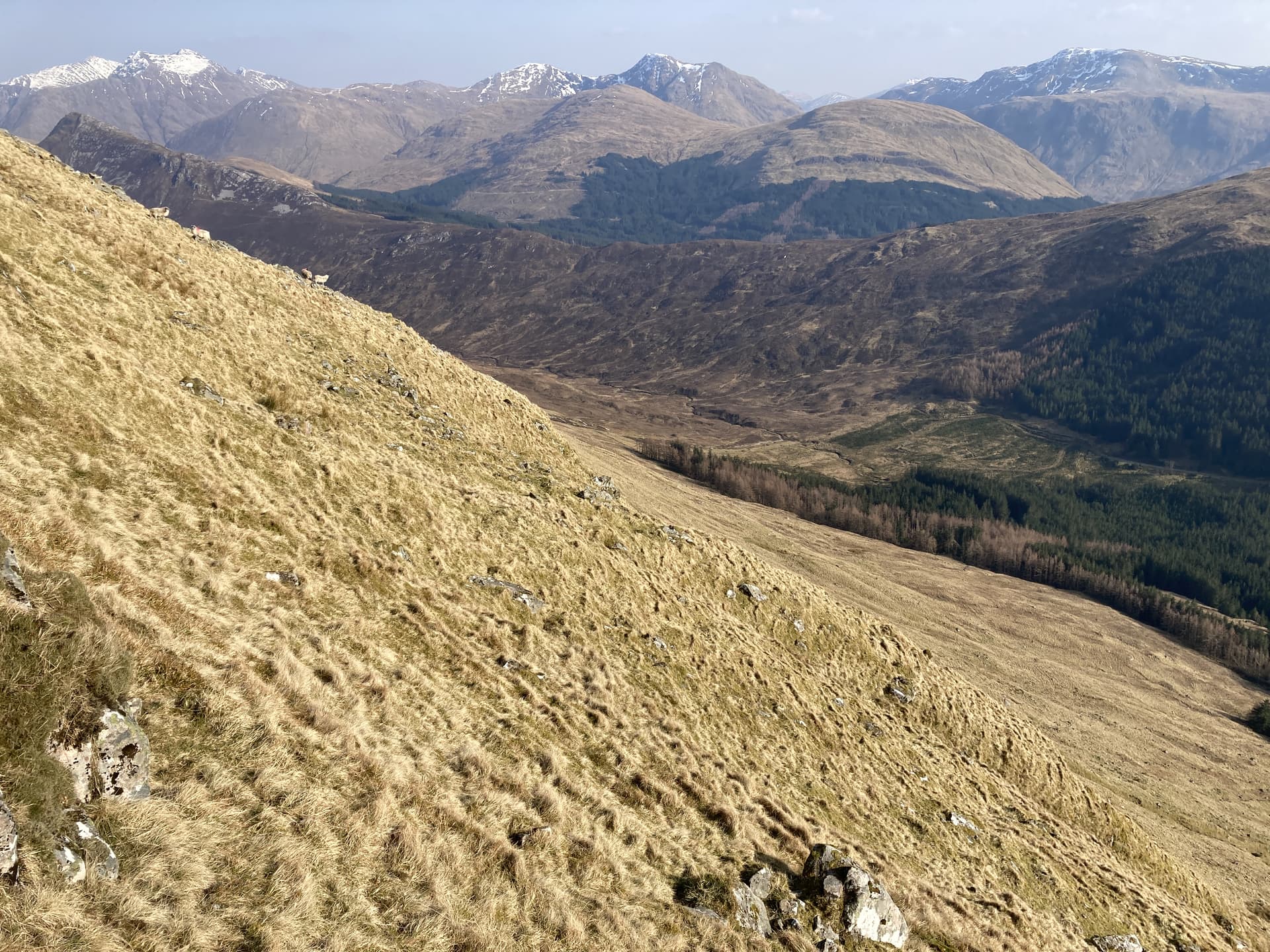
It didn’t take long to reach the snow line and it was clear we were going to be in for a cracker of a walk. The pictures were basically taking themselves all morning.
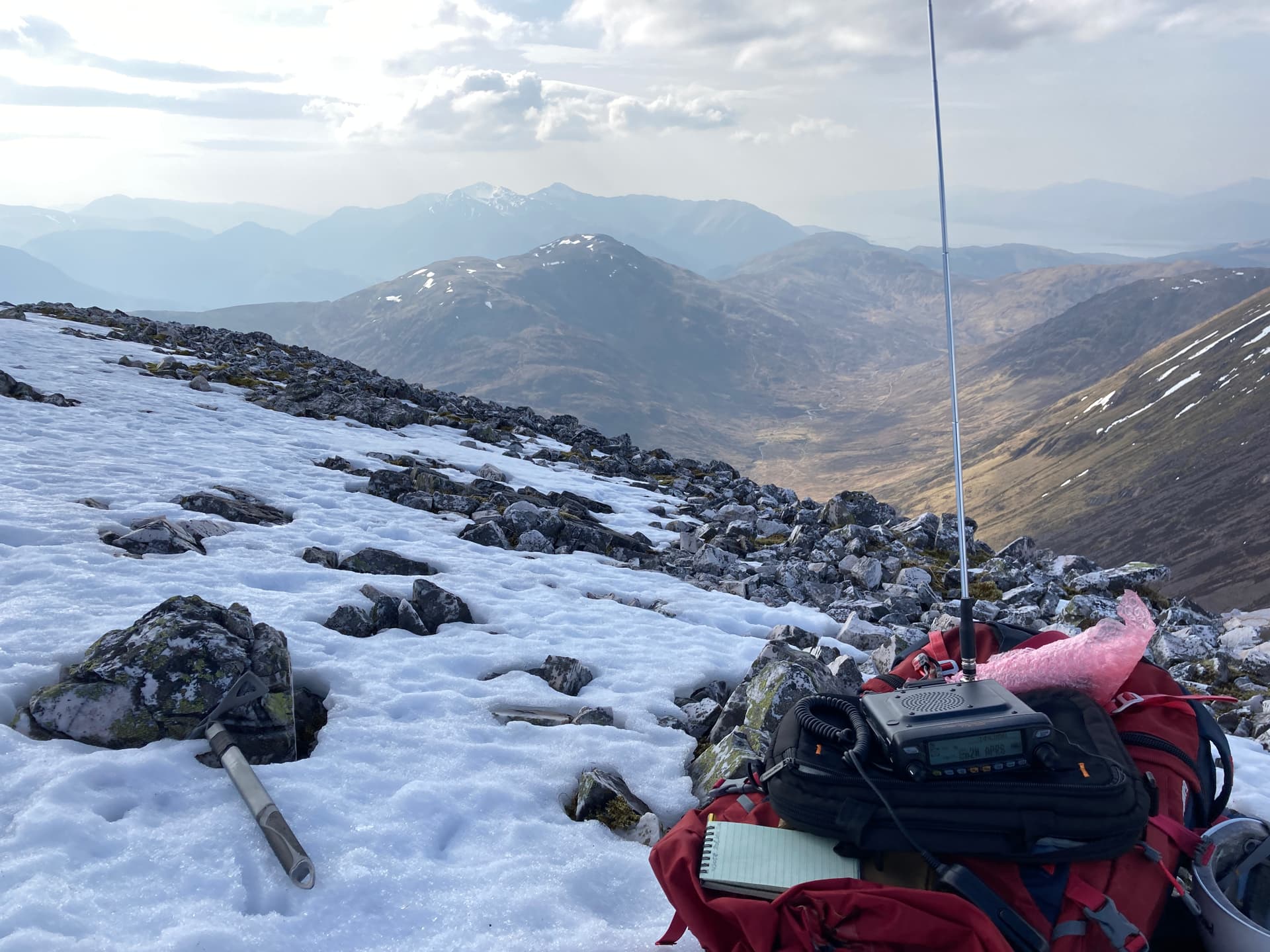
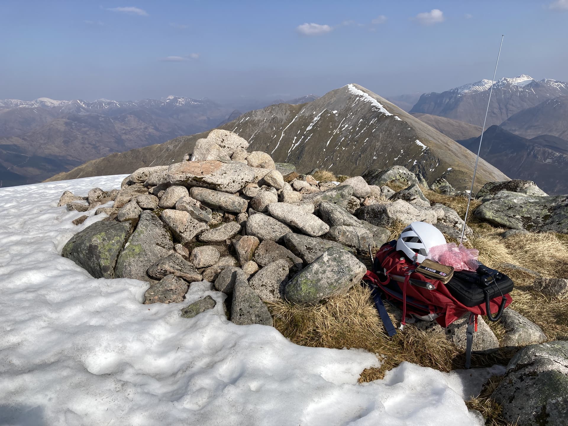
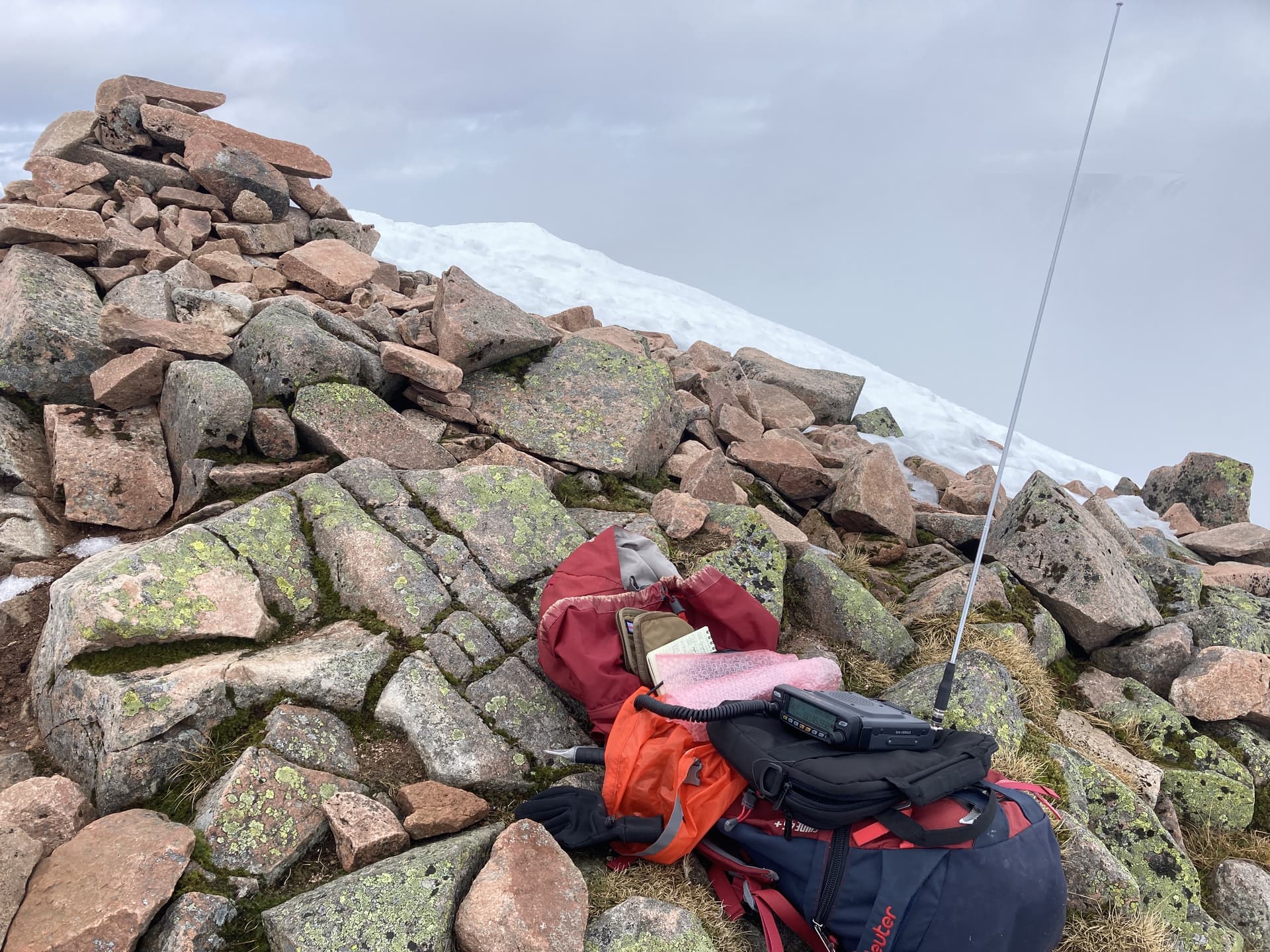
We pushed up to the summit of GM/WS-003 in crampons following a local climber who had just soloed the nearby East Ridge route (this was our plan B and it seemed we had made a good choice with the Ben). I quickly set up the radio and logged seven QSOs on 2m-FM in ten minutes.
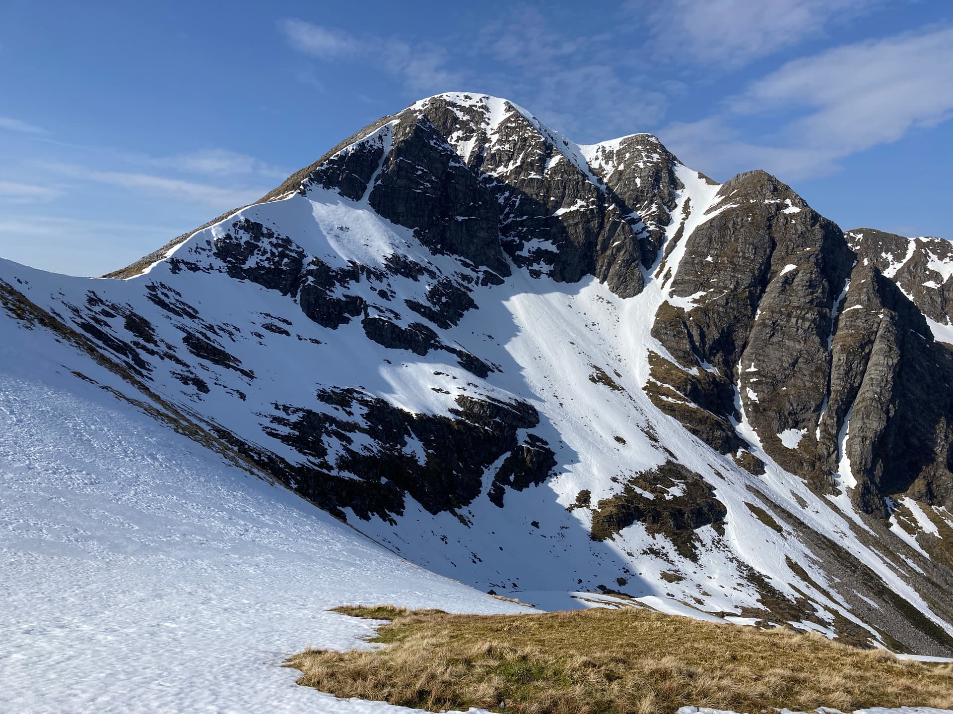
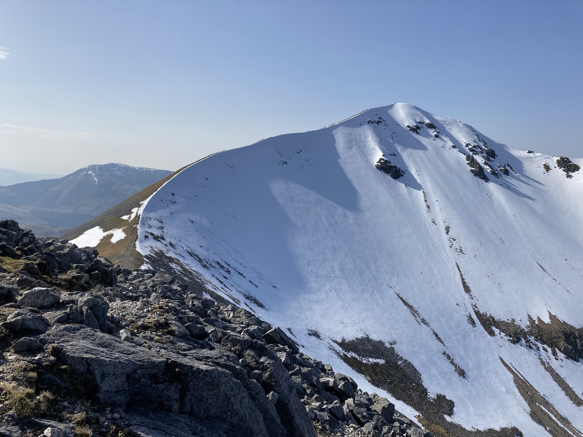
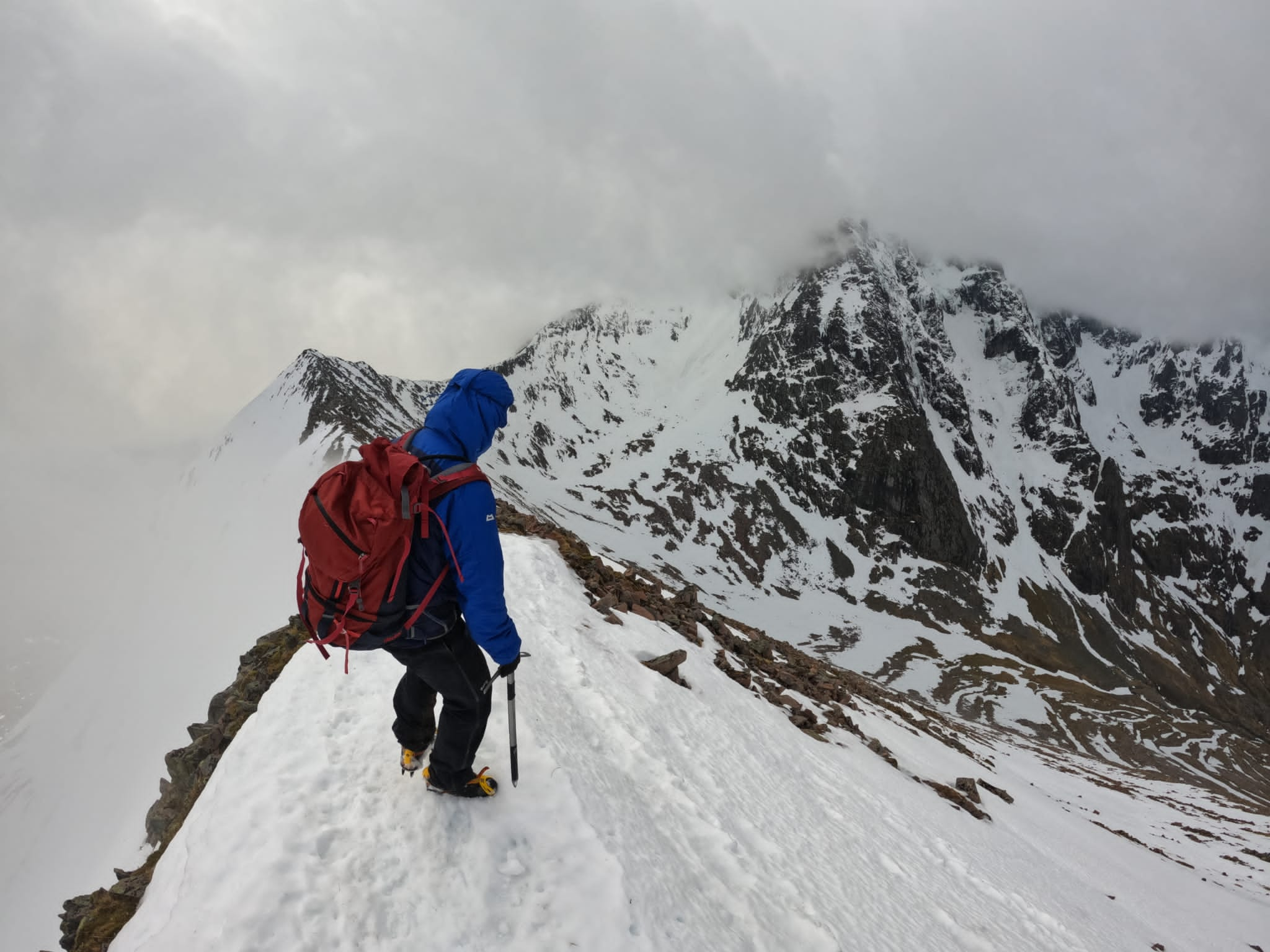
The weather was turning colder and a mist was descending on the mountain (as forecast). We dropped down on to the arete and began the journey on to Ben Nevis, which continued to magnificently impose on everything around it.
I led the final push to the summit plateau in deteriorating conditions. I was relieved that the snow covering the boulder field here was able to support our weight (otherwise this would have been arduous at best) and we plodded up to the steep incline to the top.
As we hit the plateau we passed a technical climbing duo descending probably towards the CIC hut.
Shortly after this things took an unexpected turn for the worse as another figure passed us in the mist. This guy also ignored our hello’s but it was obvious it wasn’t due to elitism this time - he was in a blind panic. We watched in horror as he slipped and fell on the steep slope we had just climbed. I shouted to him repeatedly and managed to get him to return to us.
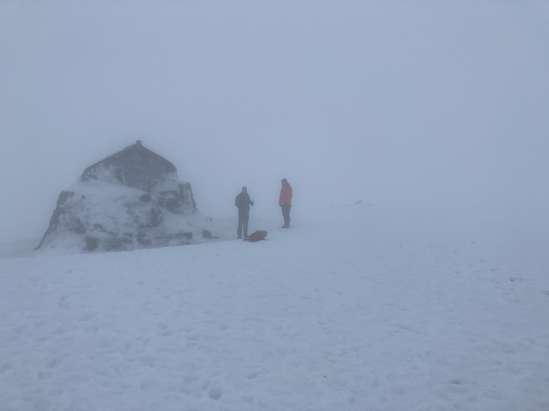
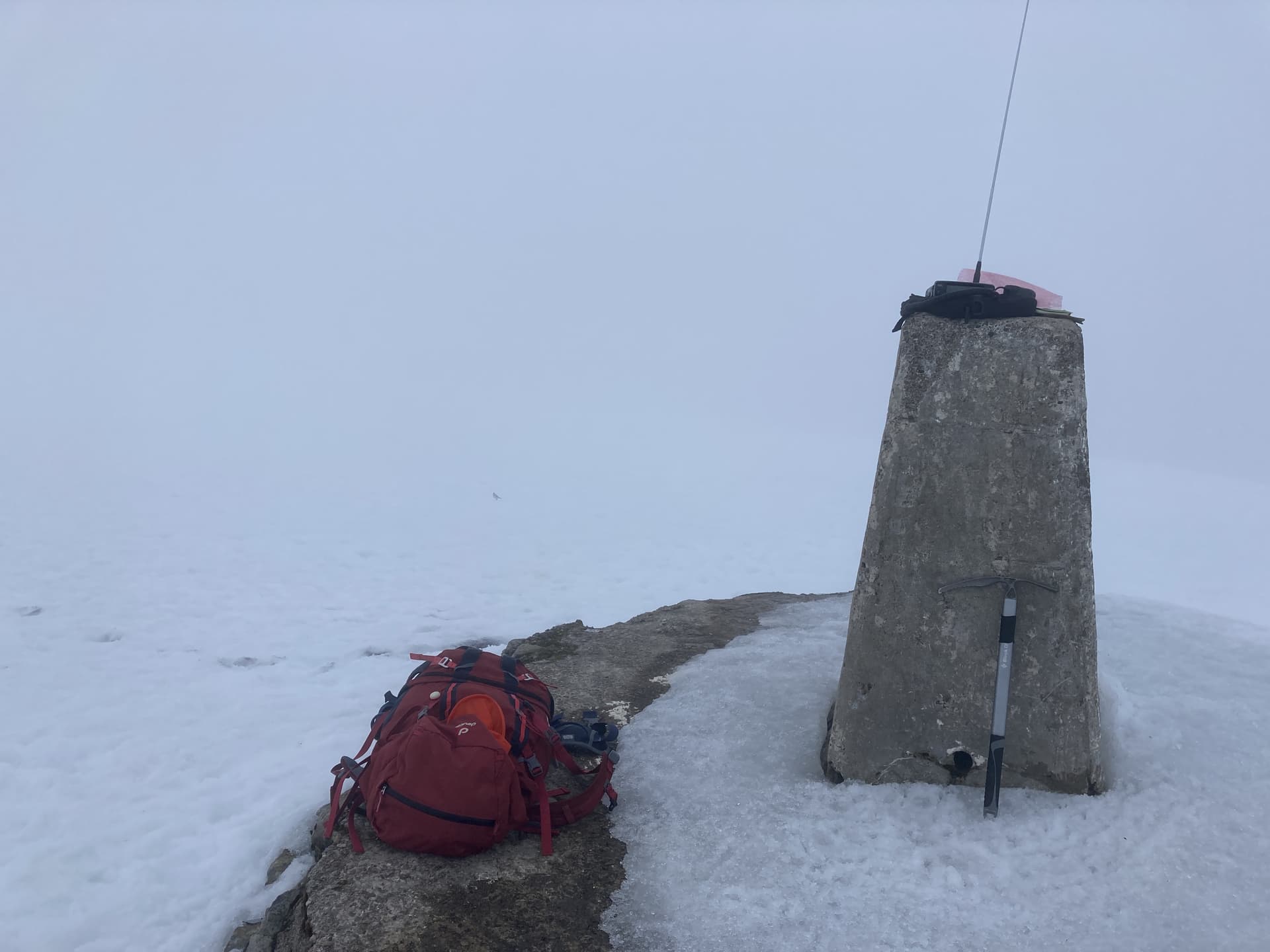
The wet and cold lone tourist was wearing cotton trousers and trail running shoes - unbelievable. No map, no compass, no phone app for nav., not even any pre-planning for the walk. He was lost in the whiteout and thought he was following the other climbers back to the tourist trail. I led the party up to the trig point and sternly explained to him how he was moments from sliding to his death. I think he thought I was joking, he was completely oblivious to his predicament.
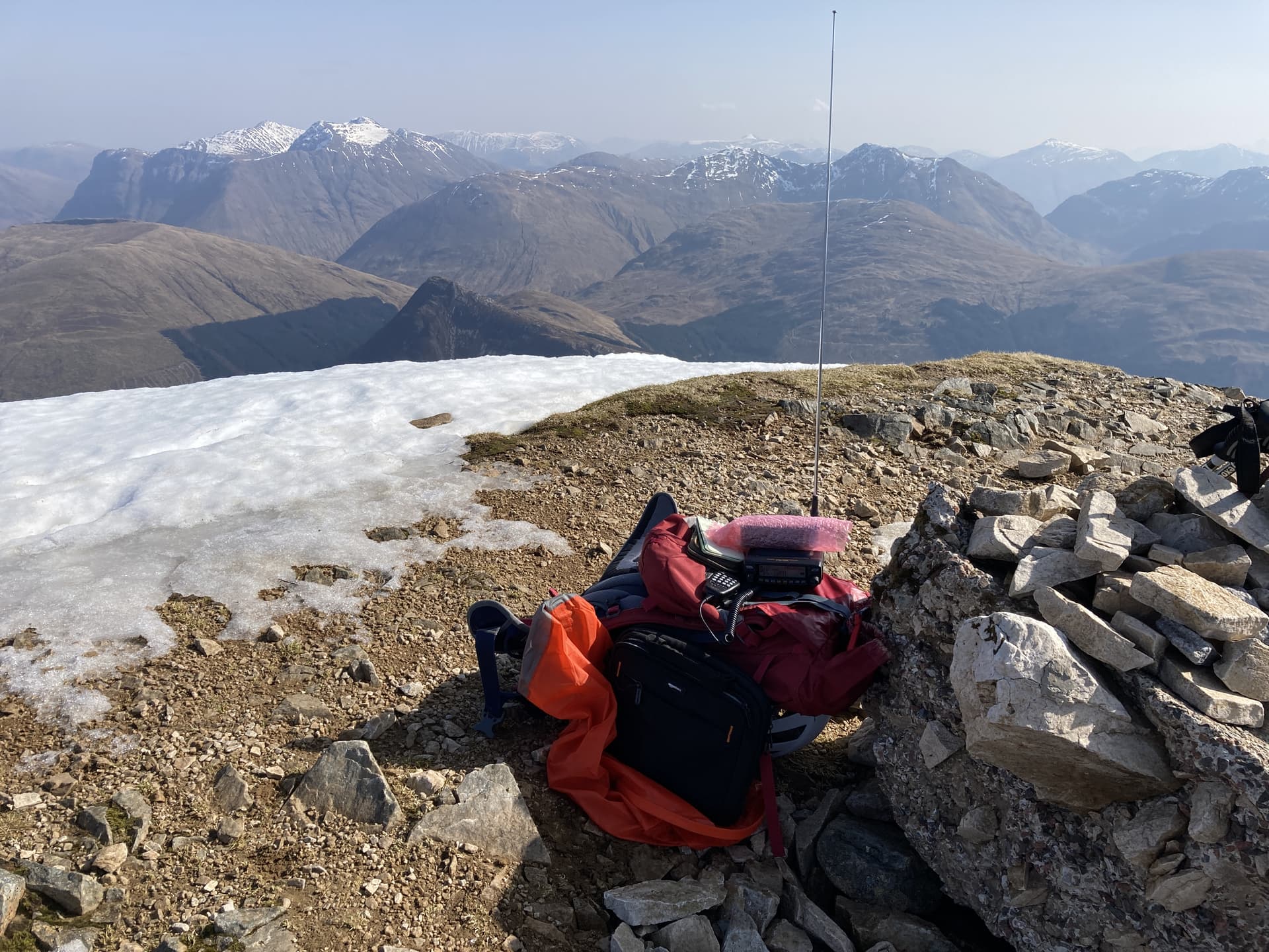
After a brief assessment and chat I decided he would be fine for a few minutes while I activated the summit (priorities…). He declined food and water despite having none and didn’t want to use the emergency shelter. If the wind hadn’t been calm this would have been even more serious.
Having been looking forward to making a fair few contacts from the highest point in the land, I had to rapidly make my required contacts and pack the radio away in a scant five minutes.
I grabbed my compass and started leading the group off in the correct direction. With the calmer but nevertheless exhausted tourist in tow we slowly descended about 300 metres vertically in whiteout conditions towards the snow line. I was incredulous as to how he had successfully reached the summit under these conditions in the first place.
When the tourist had been put well below the snow line and mist on the zig-zag path, with his agreement we decided to leave him to make his own way off the mountain. He knew where he was and other tourists on the track could be seen coming and going at this point. After telling him not to follow us as we were going another way, we split off right at Lochan Meall an t-Suidhe to drop down towards Coire Dubh.
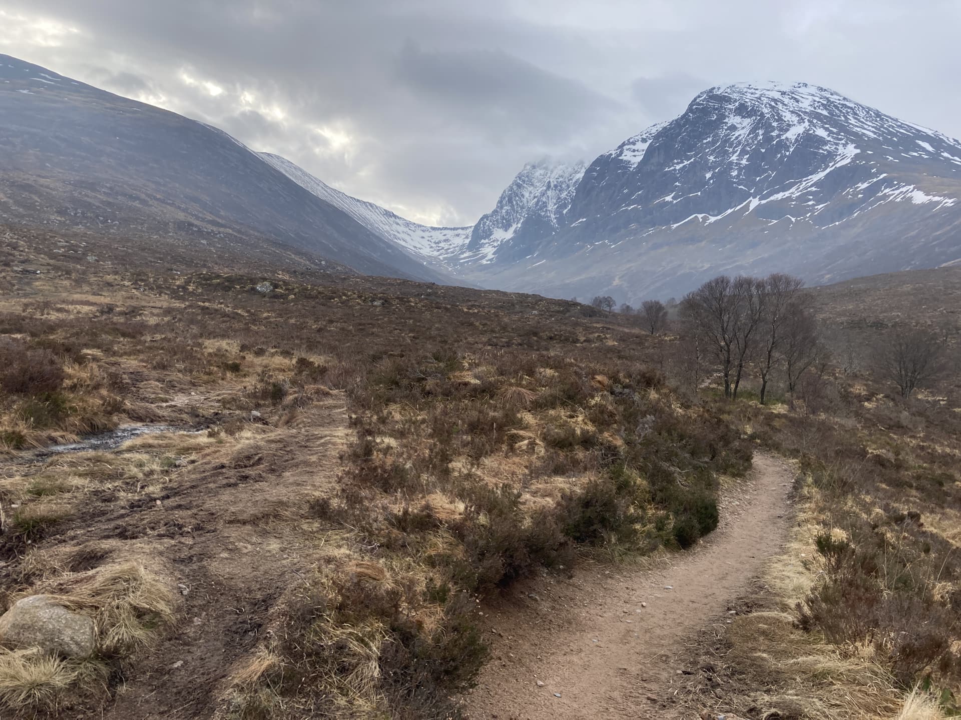
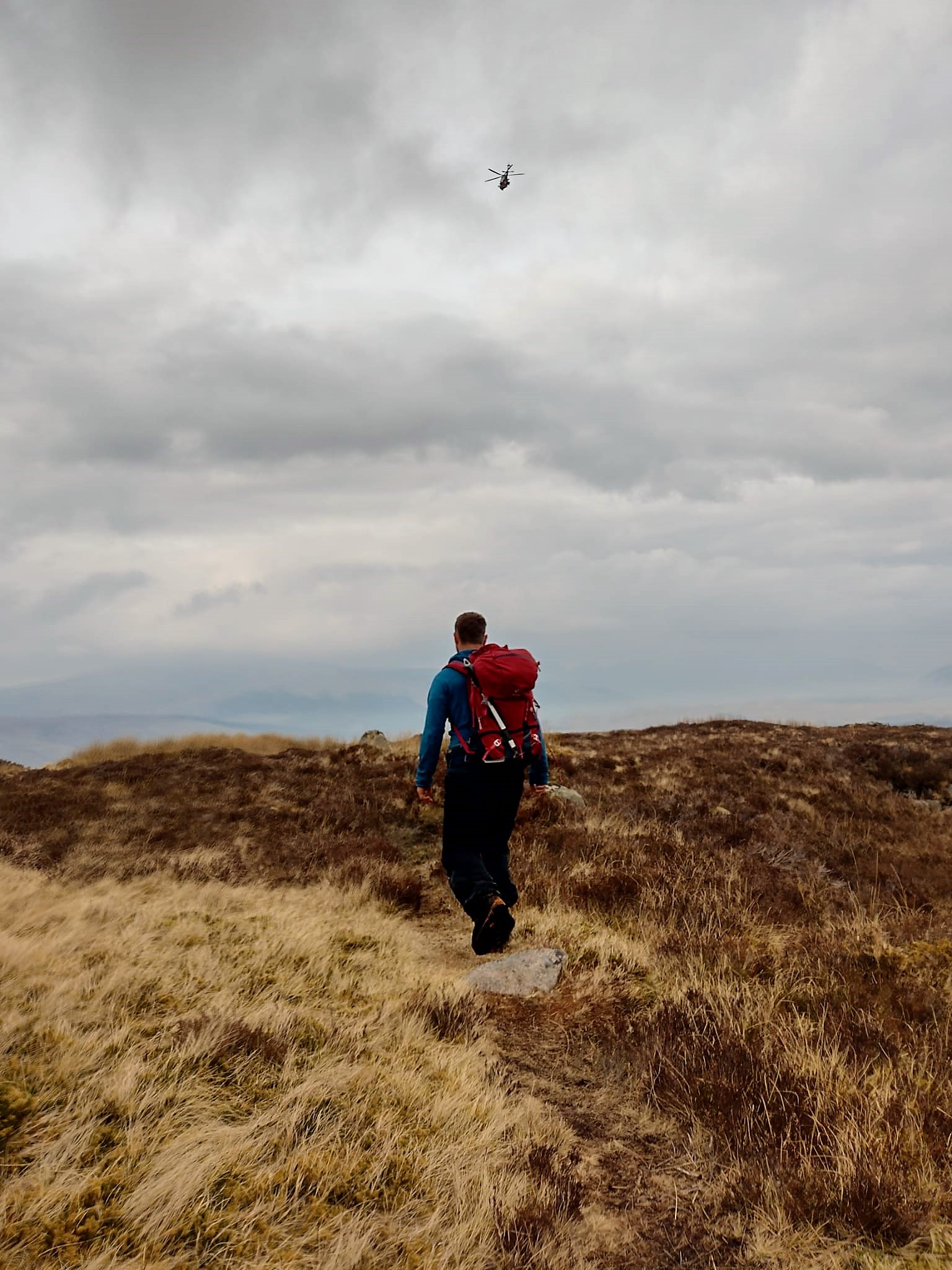
About twenty minutes later a Leonardo AW189 Search & Rescue helicopter appeared overhead and flew straight to the zig-zag path. My heart sank. Had I made a terrible error of judgement leaving the tourist behind? Surely not, he was in good spirits and the weather was good at this altitude I thought. Thankfully the helicopter appeared to be on patrol or doing training, as it flitted about from summit to summit in the area. It would later come and interrogate us twice as we descended the pathless terrain back towards the Allt a’ Mhuilinn presumably to see if we were lost tourists. I signalled to the helicopter that we were OK and continued on, crossing the river using the old deer fence, heading back towards the car park.


 57 Points
 10 Activations
 55 Contacts
 6 Uniques
 3 Countries
 80km Total Distance
 5,880m Total Ascent