After receiving a question from a new SOTA ham, I have a question myself.
Do we have one webpage where all the SOTA logging conventions are listed?
For example, the abbreviations for all of the bands a .CSV can contain. Also helpful on the same page would be a guide to proper entry of latitude and longitude for the microwave awards and any other SOTA logging conventions that might not be immediately obvious.
The help page at SOTA Database is a pretty good start. The microwave stuff is a missing link, though, and I’ll add that to the list of issues to address.
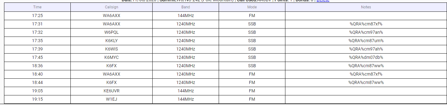
For microwave log the 6 digit grid - example CM88pi - of the chaser. The summit reference already knows the exact location for the activator. If you chase you need to know the 6 digit grid or the lat/lon. I have found that folks who do microwave understand and are ready with their 6 digit grid.
If you want to claim SOTA uwave awards you need to do more than just log the locator. SOTA uwave awards are based on distance, for S2S the database knows the location of both summits and can calculate the distance for you and more importantly for the awards manager.
Please see this old thread for examples of how to log other non-S2S uwave QSOs.
Also don’t forget the non UK bands like 33cm (902-928mhz) Can all the bands be entered in Mhz? Will the stats compile correctly even if entered in Mhz and not band name?