I will be on holiday in Costa Adeje in Tenerife from Tuesday 6th September to Tuesday 13th September. While on holiday over there me and my dad Tom M1EYP plan to do some early morning SOTA activations on the island and one whole days SOTA activating as well.
I am wondering if anyone has ever walked the the below SOTA summits, maybe even before they were SOTA summits and know of any good routes for these summits?
EA8/TF-003 Roque de la Grieta
EA8/TF-004 El Sombrero
EA8/TF-005 Montaña del Cedro
EA8/TF-006 Colorados de Chinoia
EA8/TF-007 Cruz de Gala
EA8/TF-008 Taborno
EA8/TF-009 Baracán
EA8/TF-010 Roque del Conde
EA8/TF-011 Paso
EA8/TF-012 Chinobre
EA8/TF-013 Montaña de la Atalaya
EA8/TF-014 Roque de Jama
EA8/TF-015 Roque Chiguel
EA8/TF-016 Guaza
EA8/TF-017 Montaña de Taco
EA8/TF-018 Güímar
EA8/TF-019 Rojar
We don’t plan to activate all the above SOTA summits, but if you can recommend any routes to us for any of these summits, it will help with our planning. We will probably be more likely to activation SOTA summits on the west of the island than those on the north east of the island.
I plan to activate these SOTA summits on 2m FM with HF SSB as back up and my dad will be activating on HF cw. I am wondering if anyone knows of the best calling frequency is on 2m FM to get contacts at the moment as I know there is no calling channel frequency over there? I am aware the there are some repeaters to try and get 2m FM contacts on simplex, but it would help if anyone knows of any simplex calling frequencies that I am likely to get contacts on?
I have emailed a few EA8 radio amateurs regarding all of the above, but not had any response, so wondering if anyone on here has any knowledge on this?
Rightly so. If I go to Spain/France/Germany etc and start calling on 2m FM in English I would expect to be largely ignored whether people listening can understand me or not! Calling on what is essentially a local medium in a foreign country using English is simply being rude in my book. If go on HF (20m etc.) when in Spain etc. then using English is acceptable as you will hear people from the whole world calling CQ in English whether it is their first, second or what ever language.
It’s not rude. But you can’t expect people to reply either. Jimmy did get some QSOs with English language 2m FM work last time in EA8, I’m sure he will again.
I quite agree, Andy. Fortunately I can make myself understood in Spanish, French and - to a lesser extent - German.
I have given up on Gaelic, though. I noticed that, since my last visit, they have begun replacing some of the placenames with their Gaelic equivalent - even in Lowland Scotland. “Grianaig” and “Leargaidh Ghallda” … whatever next?
When I was in Tenerife last year as my dad Tom M1EYP correctly pointed out I did make some successful QSO in English and all these radio amateurs were Spanish. I made 3 QSOs on 2m FM from El Teide EA8/TF-001 and 1 QSO on 2m FM on Guajara EA8/TF-002, so I do not think foreign radio amateurs see if as rude to call CQ on 2m FM in English and choose because of this not to reply. I only think they will not reply if they don’t understand a word of English. The main problem with trying to get QSOs over there is the fact there is no calling channel and that the 2m FM radio amateurs over there monitor random frequencies on 2m FM which over there also includes 144MHz section of it as well as the 145MHz section.
Historically I don’t think the Lowlands were ever Gaelic speaking, as I understand it they regarded the Gaels as barbaric enemies. They had their own variant of English, “Braid Scots” or Doric which in its extreme form is more an allied language than a dialect. Adopting Gaelic names and spellings is IMHO an affectation, seeking distinctiveness in an affiliation that is actually bogus. It is as daft as the Welsh trying to adopt a saxon place name - “Wrecsam”!
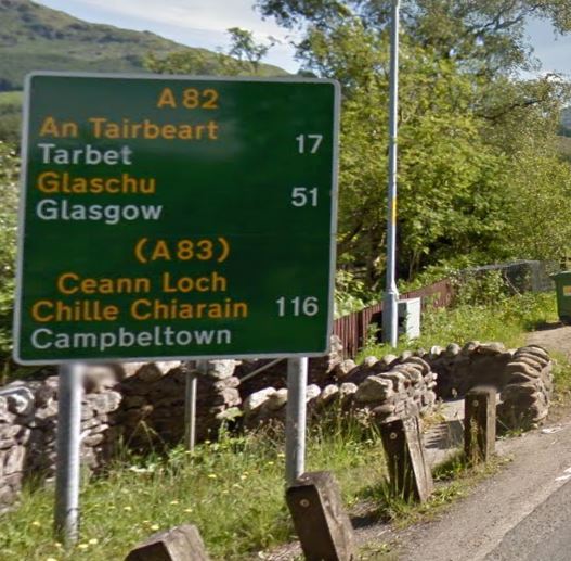
For those wondering how Ceann Loch Chille Chiarain becomes Campbeltown… it doesn’t. The old Anglicised name for Campbeltown was Kinlochkilkerran which is what the Gaelic name says.
These are two distinct dialects. “Braid Scots” is more correctly called “Lalland (Lowland) Scots”. This was the native tongue of Robert Burns … and also of myself, as I was born and raised in Ayrshire. Each time I return to Ayrshire, I find the local accent has become more and more Anglicised … the influence of constant exposure to television, I guess.
Doric is the dialect spoken in the North East of Scotland. As a Lowlander, I sometimes find spoken Doric quite difficult to understand!
Gaelic is spoken by some Highlanders, who used to be referred to as “Teuchters” by inhabitants of the Lowlands. I understand the term has come to be regarded as offensive or pejorative nowadays … I don’t know why.
You and me both! However, restricting the name Doric to the North East version of Scots is a recent and questionable invention, historically it was applied to the Scots spoken in about half the area of Scotland and was actually intended as an insulting reference to the Spartans.
This seems to be true everywhere - when I was a kid it was dam’ difficult to understand the Black Country Dialect but now it has almost vanished, surviving just as an accent.
Likewise have you looked at the summits using OSM mapping? You can select this from Rob’s map site, select cycle network. It shows footpaths and cycle paths.
5mins with that clicking on the summits and switching between Google Earth view and OSM view reveals the following.
EA8/TF-003 Roque de la Grieta, no path looks difficult
EA8/TF-004 El Sombrero, path, looks difficult
EA8/TF-005 Montaña del Cedro, no path, been activated though
EA8/TF-006 Colorados de Chinoia, no path looks difficult
EA8/TF-007 Cruz de Gala, drive on and footpaths, many radio towers
EA8/TF-008 Taborno, drive on + big radar installation
EA8/TF-009 Baracán, path
EA8/TF-010 Roque del Conde, many paths
EA8/TF-011 Paso, path to near summit, very wooded
EA8/TF-012 Chinobre, path, wooded
EA8/TF-013 Montaña de la Atalaya, drive on
EA8/TF-014 Roque de Jama, path, a bit severe looking
EA8/TF-015 Roque Chiguel, path, a bit severe looking
EA8/TF-016 Guaza, drive on, big radio tower
EA8/TF-017 Montaña de Taco, drive to reservoir, path to summit on Google Earth, radio tower
EA8/TF-018 Güímar, path, looks trivial
EA8/TF-019 Rojar, path, looks trivial
I have looked on Summit Post, but this does not have on the SOTA summits on it. I have looked at various maps, some show paths, some don’t, so not sure which are accurate. I am also unsure whether or not any SOTA summits in Tenerife are on private land.
I have also had a look at these summits on SMP on the cycle network options. I have noticed that a lot of these summits have red paths on then, but when I have looked at some at these on the satellite and the start point of some of these paths on street view, they look as though they do not exist. What are peoples experience generally with the red paths on SMP, do most of them actually exist?
I’ve found paths to be where OSM says they are in EI, F, DL and EA8/LA.
It can be hard following some paths from the aerial views. That’s why the professionals use stereo imaging. However, it depends what you want regarding paths, you often find sufficient evidence of the start when you get there from foot prints in the dirt etc. You can always mark the last visible point of the path on your GPS and make your best way towards it.
There seem to be plenty of easy looking summits with paths clearly visible on Google Earth, but they’re low scoring and been done before. When I go away playing holiday SOTA, I don’t go looking for anything involved. Something I can do in flip-flops is ideal, those 10pt summits overlooking Teide look rather too severe for holiday SOTA. If you want big points and unactivated summits then you will have a harder time. They look far too much effort to me for holiday SOTA. YMMV