Sitting recovering by the fire at Neill’s Beach after a 10-day stint track cutting and trapping in the Haast Range, I muse on my level of exhaustion, and mentally tot up the week’s climbs. I eventually grab a scrap of paper and tot up each day - the answer seems to be at bit over 9400 vertical meters for the week.

Looking down over Neill’s Beach from the top of the Hindley Spur track we’d been cutting in the first half of the week
I comment that it seems a shame to be so close to that satisfyingly round figure of 10 vertical kilometers, and the suggestion is made that I find a 600m peak to climb on my way home.
‘No bloody way!’.
===
The next day I’m scouring the route home over the Haast Pass for a 600m climb to a SOTA summit.
===

Glen Dene Range. Public land shown in green. Basemap CC(attribution) LINZ
The unactivated peak ZL3/OT-399 it an outlier off the Glen Dene Range that divides lakes Wanaka and Hawea. The probable reason for its unactivated status is that it’s a frustrating 670m climb from the 370m lakeshore to the 1042m summit for just 2 points. And, that the DOC track marked on maps stops 1km into the scrubby valley at its base, leaving an additional 1.5km of scrub-bashing before you get into the clear and can climb onto the open tops.
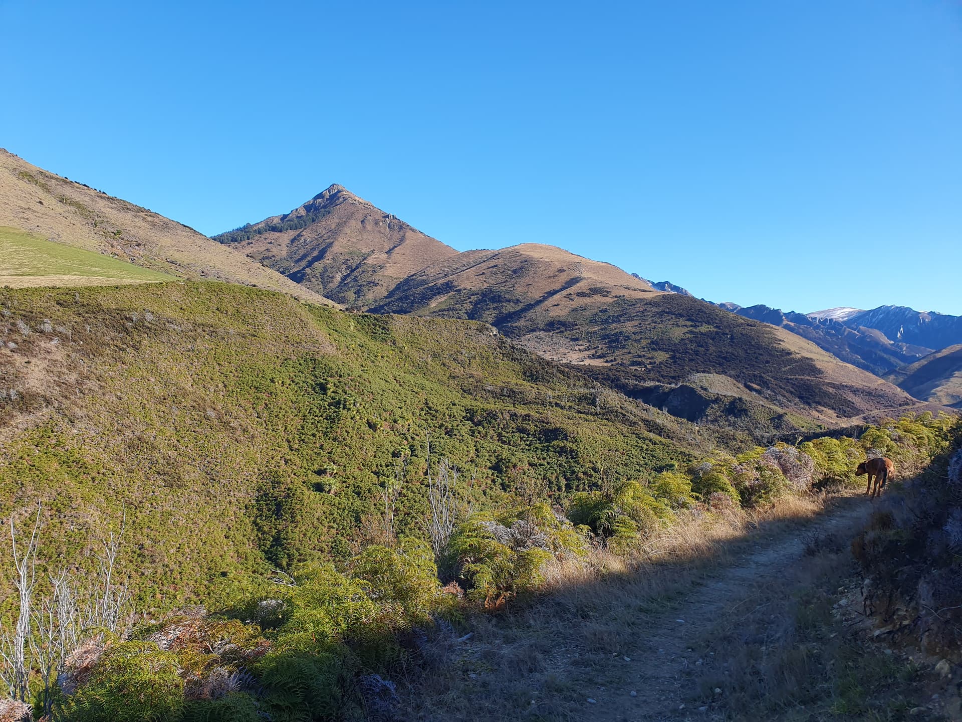
From the DOC carpark at the outflow of Craig Burn we follow the nice cut, marked track up the spur on the true left of Craig Burn, drop and cross the creek, and reach the end at a locked gate on the boundary with private Glen Dene Station property. A small DOC sign beside the fenceline indicates that hunting in this area requires a special permit, and beyond - as hoped - a narrow, foot-worn hunters’ track follows the public side of the fenceline up the valley through the tall manuka and bracken-fern scrub.

A kilometer and a half of reasonable travel along the fence gains little in the way of altitude, but does leave us closer to our goal of the unnamed summit. The fenceline ends abruptly at the start of beech forest, and we follow the now-unfenced boundary up through low forest onto the open rock-and-tussock tops of the spur. A series of false summits follow, before we stand panting (in one case) atop ZL3/OT-399 and admire the view up Lake Hawea to the Main Divide of the Southern Alps.

The usual setup of FT818, MX-P50M amp and end-fed 40m half-wave are deployed. The antenna is strung horizontally across the (conveniently) 22m gap between the two summits - a lazy deployment, but easier than erecting the mast in the unpredictable, gusty wind that buffets the ridge. I work 6 stations on 40m and 20m, the usual mix of ZLs and VKs, and also chase VK4FDJW on 15m who is activating the WWFF Danbulla South 2 Forest Reserve (VKFF-3457). A quick return to 40m after the midday UTC rollover hands out a few more chaser points before we pack up.

On the way up, I had been musing with the idea of continuing up the ridge to reach the main Glen Dene Range and activate its 4-point summit (ZL3/OT-337), but the ridgeline looks a bit gnarly (through probably possible). Also, it’s 12:15 and after a week on dehy hut-food, I can already taste the burger and fries at Wanaka’s Federal Diner.

Glen Dene Range (ZL3/OT-337) top left. Ridgeline from ZL3/OT-399 looks passable on north face (right)
Thanks to the chasers, and the SOTA community - who gave me the motivation to get out of my truck and up ‘just one more hill’ to reach the 10km-vertical milestone for my (10-day) working week.