Jens, HB9EKO, had recently reported here in the Reflector a story that SOTA had not been tolerated once on the German main side of the activation zone of Napberg:
https://summits.sota.org.uk/article/25712/view
Napberg had been on my to-do list together with Wannenberg, HB/SH-002, the only summit in HB9 for the Canton of Schaffhausen (and I didn’t meet there this time the tick that had injured @ON7DQ – to the story). Went out today Saturday to do both summits “hard core” with public transportation and pure hiking.
There are no official hiking trails on the Swiss part of Napberg, only forest roads and trails. They are somewhat muddy in the lower parts, but viable. The ground is mostly uneven and frequently slippery. There are blackberry everywhere around the summit to straddle and slow you down.
I set up my stuff on border stone #222. There is a line displaying the Swiss border on each stone and I took care to keep my stuff, the antenna wire and the operator on the HB9 side, hi. But didn’t see anyone during the whole hike and activation.
See some pictures of the trail and the activation place:
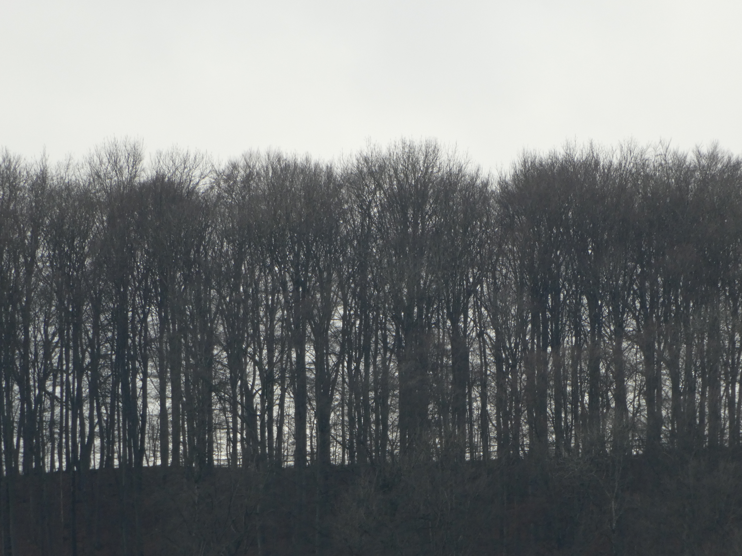
Napberg seen from Osterfingen (HB9), i.e. from the north.
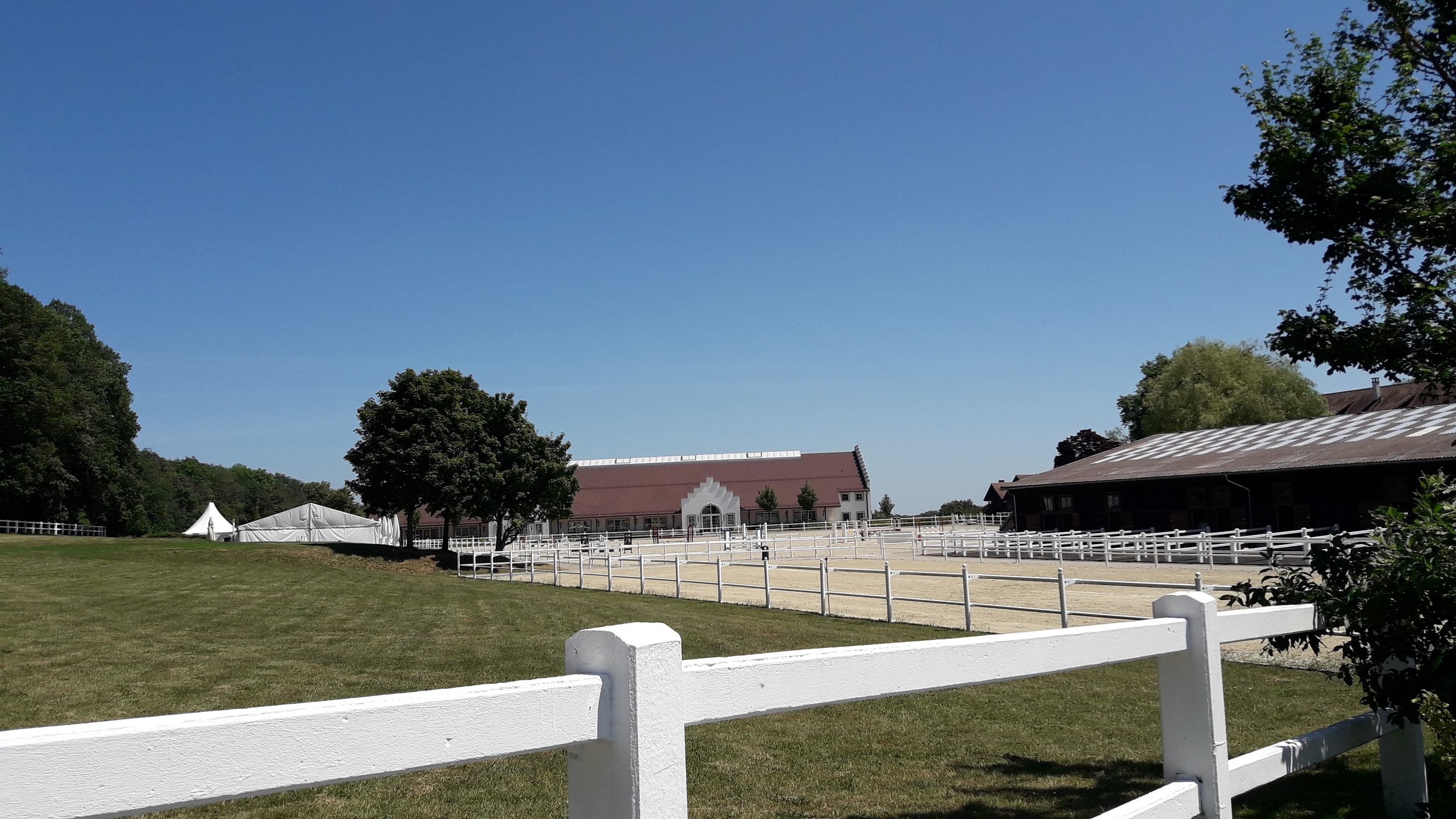
A detail from the top with the fence of the equestrian sport centre. The lining of the Swiss-German border is confusing up there, you have the border everywhere, hi. See SOTLAS for Napberg to illustrate it.
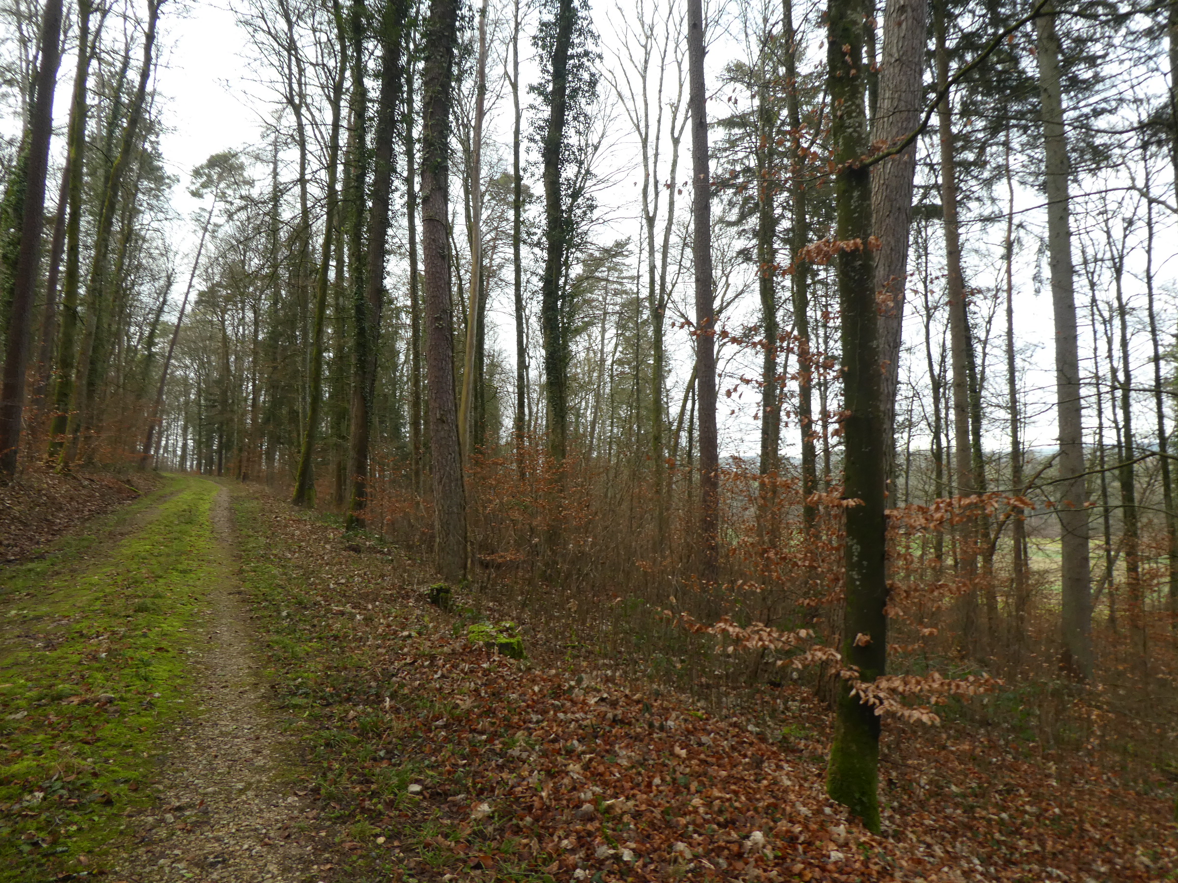
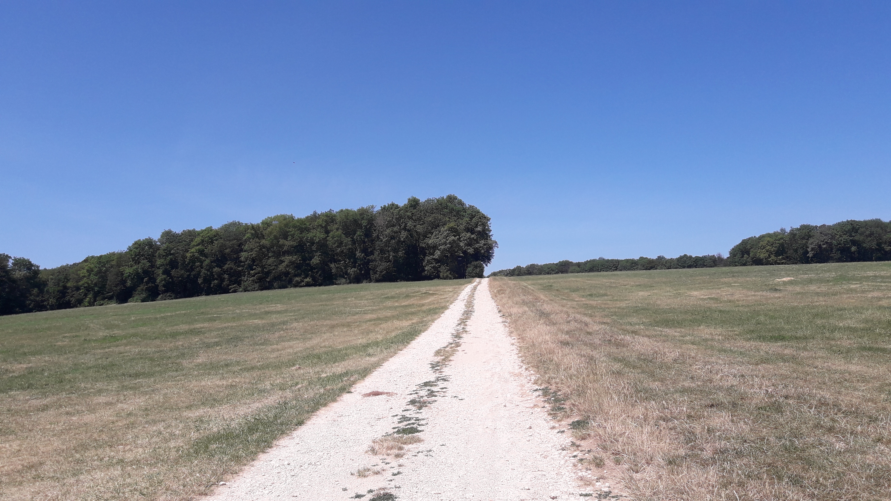
A forest road in the lower part of the track.

. . . one class lower now: go straight ahead, on the left side of the sign-post.
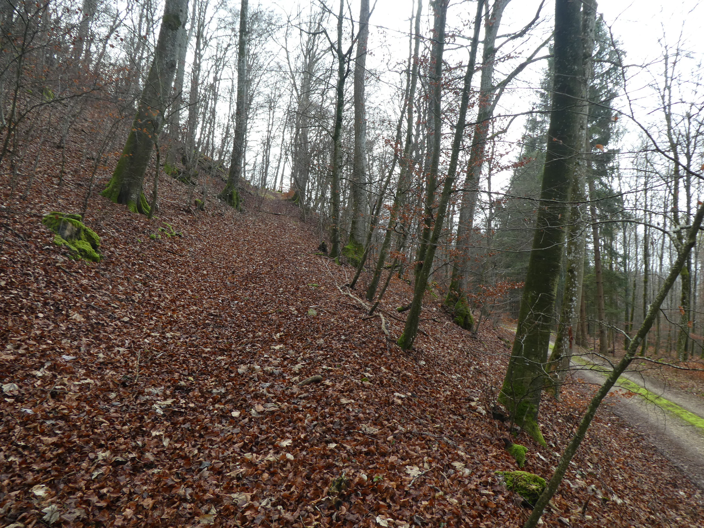
And the steepest part, just straight ahead.
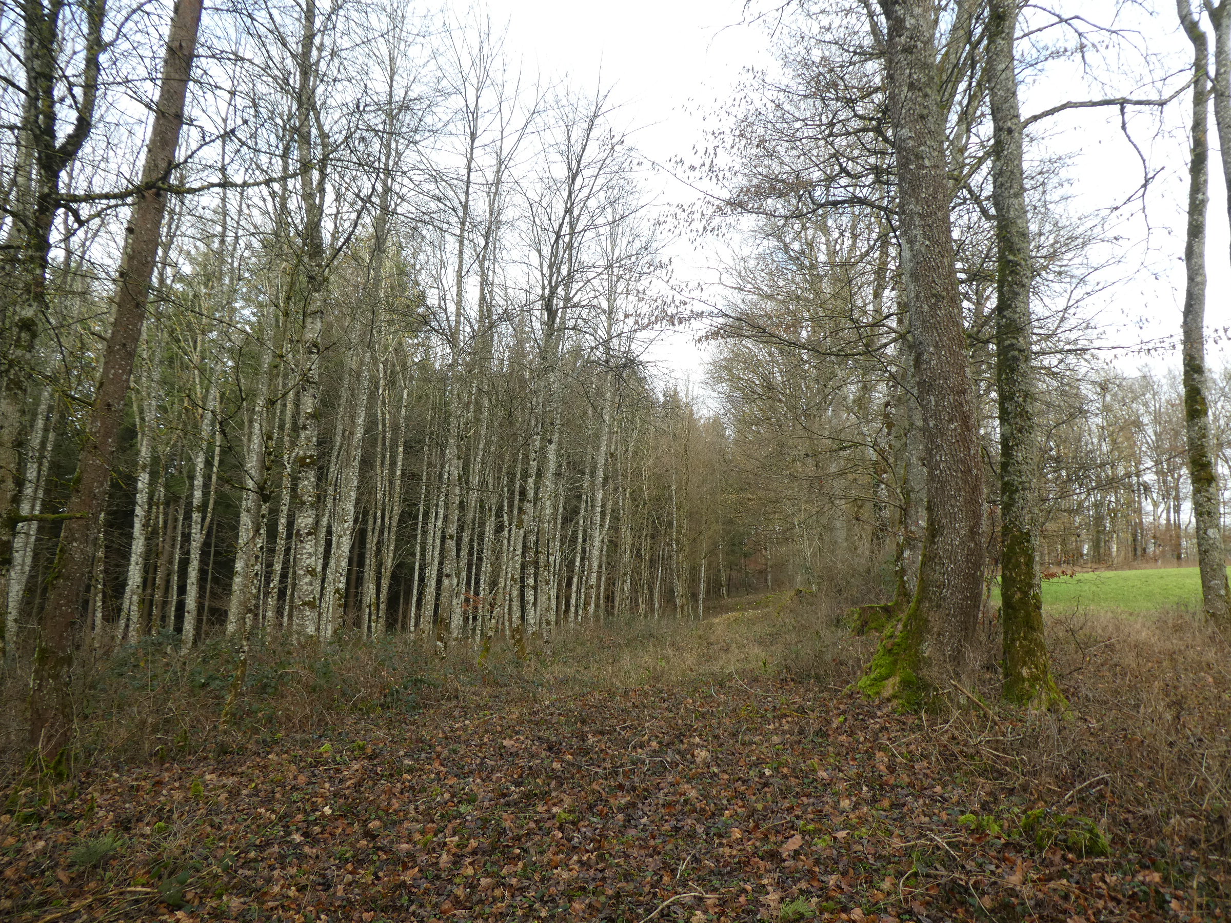
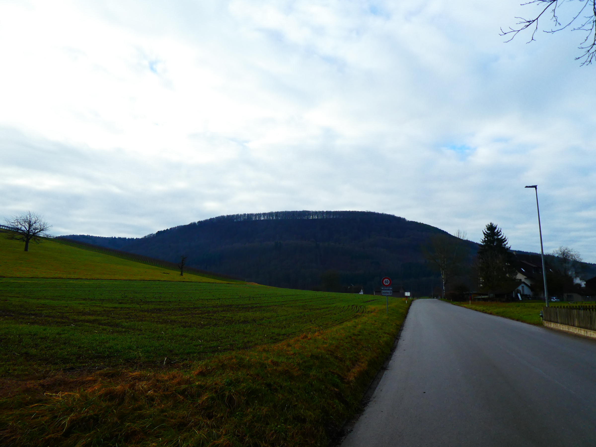
Finally at the Swiss-German border. Left side incl. border corridor: HB9, clearing and meadow: DL.
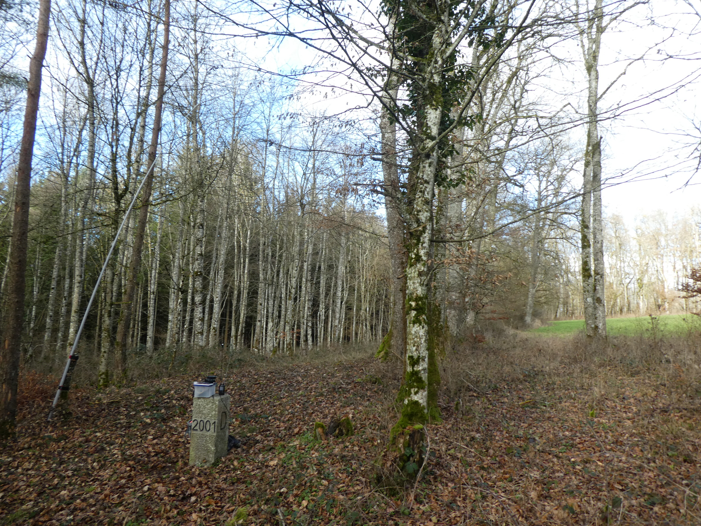
This was my shack: border stone #222 (2001 on the German side).
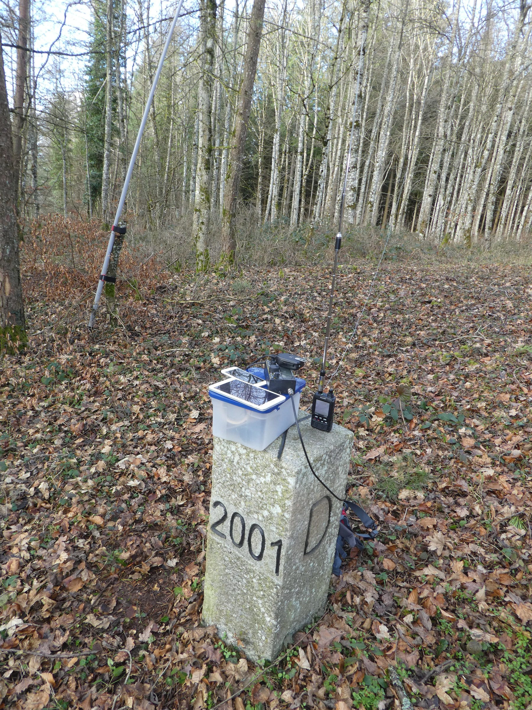
The same more detailed with the painted direction marks for the neighbour stones on the top side of the stone.
. . . and my callsign on this border summit . . . ![]()
Had confused again several chasers by operating HB9DIZ/p from the German summit DM/BW-461. Some told me that they had corrected my callsign in their log to DL/HB9DIZ/p or had seen my incomplete HB9 spot on SOTAwatch – but it is correct that way, since I had operated from the Swiss side (cf. pictures hi: < 10 cms from the border!) and the activation zone extends also into the Swiss territory.
See the GPX file for this ascent from Osterfingen on SOTAmaps or on SOTLAS. Track length: 2.9 km, descent first: 30 m, ascent then: 235 m. Time needed for the ascent from/back to the bus stop at Osterfingen: 65 min., descent: 35 min.
So enjoy it yourself! B.t.w. there is a good restaurant down in the valley at Bad Osterfingen to enhance your visit, just at the main road to the nearby border – yes, there are borders everywhere here, but they are open (here) nowadays and spice up SOTA a bit!
Vy 73 de Markus, HB9DIZ