The weather in NE Scotland continues to be disappointing. So let’s fly south for drier climates…and after much pontificating over radar forecasts this would be somewhere between Dunkeld and Crieff. Like taking an elderly relative out for a drive, I picked up Fraser, @MM0EFI, enroute, telling him of glorious hills down south and maybe a drink in Dunkeld.
Meall nan Caorach and Meall Reamhar
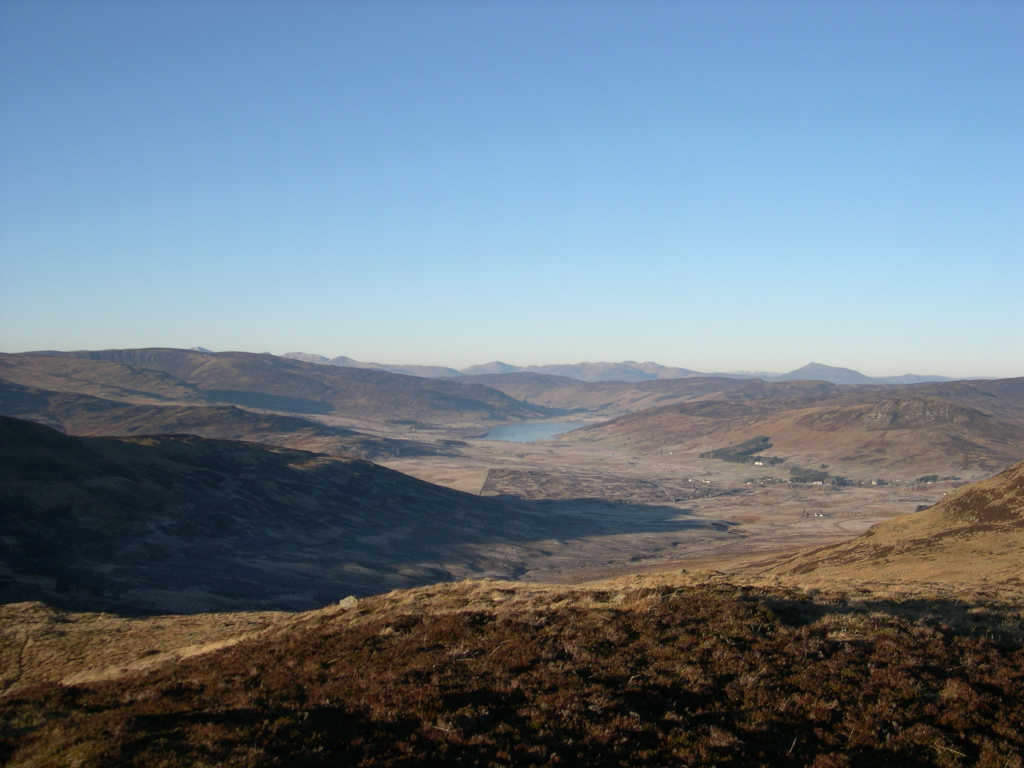
This pair of 2-pointers (GM/SS-104 and GM/SS-105) caught my eye as I browsed the map. A pretty much perfect pair for the Aberdeenshire Perfect Pair™.
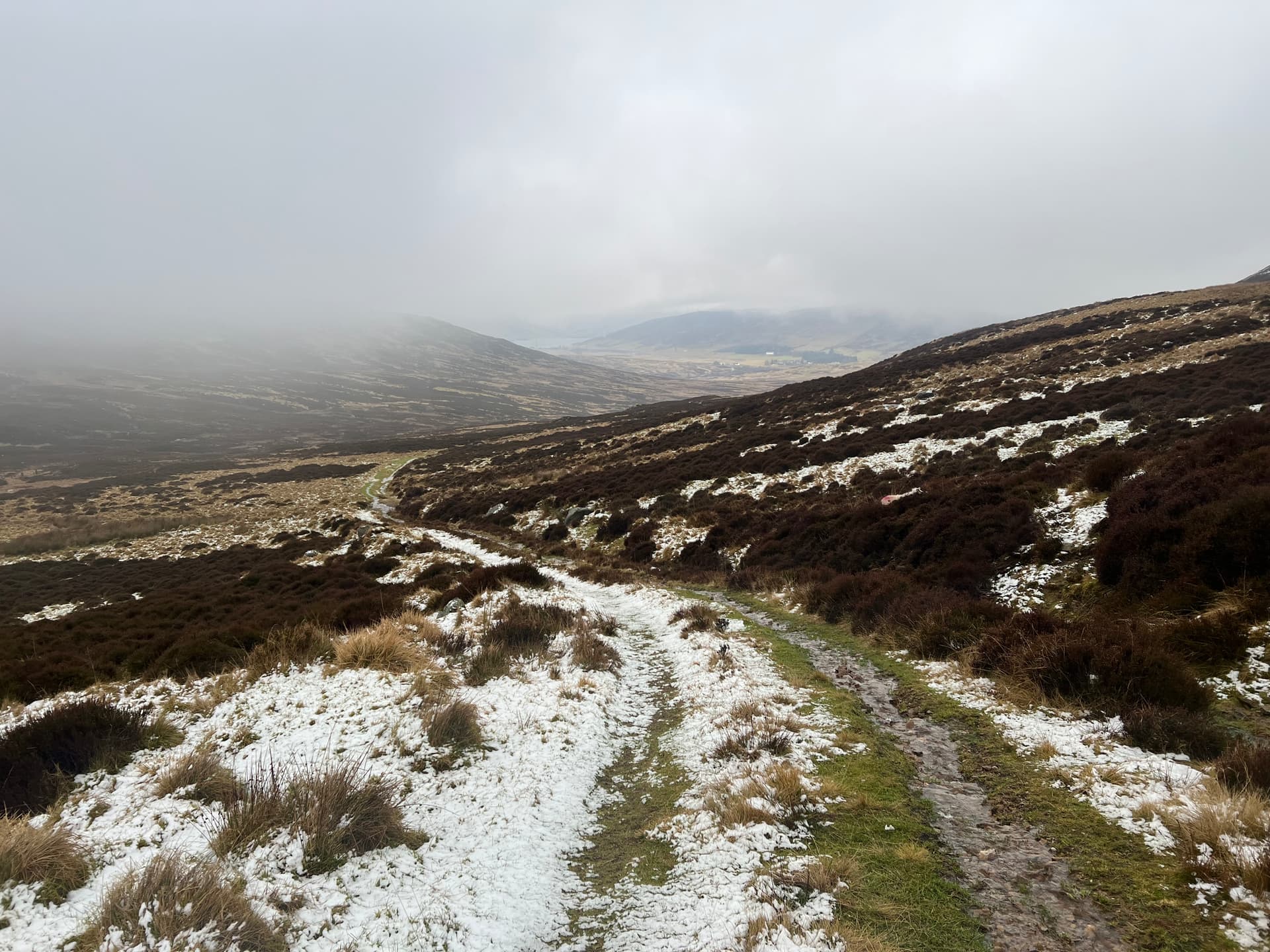
You get a nice ~4 km walk in along a land rover track, and then two almost identical climbs left and right in which each person can go up and activate and then swap over for two completes. The climb is about 160m to each summit from the col, again, almost perfectly designed to be a marilyn but not too much more! 😅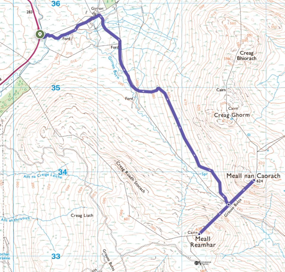
and so that’s what we did.
Fraser heading up 105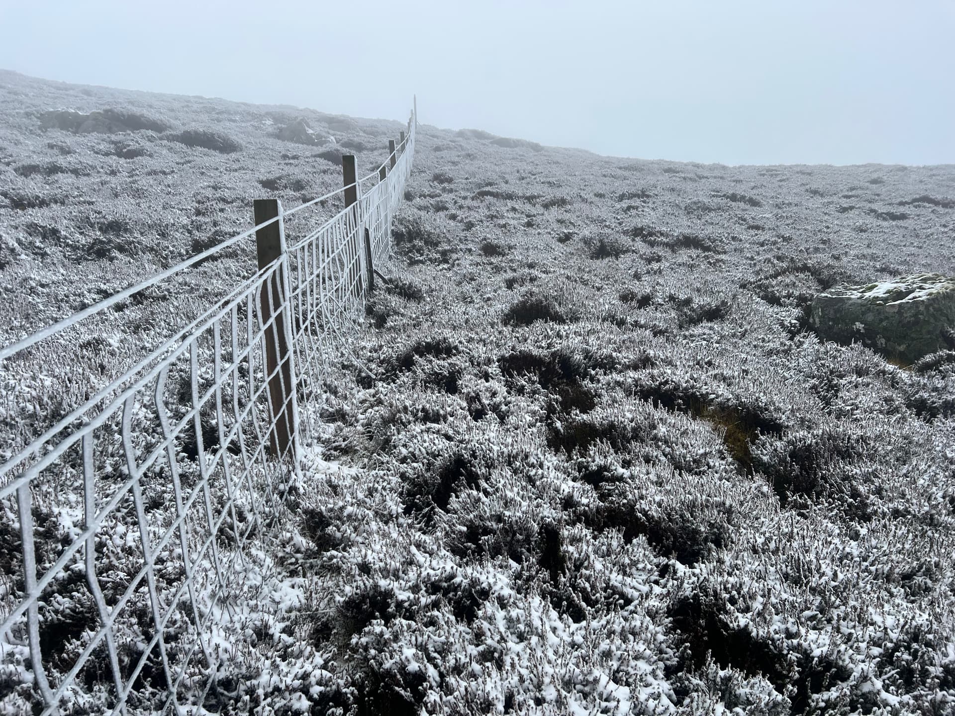
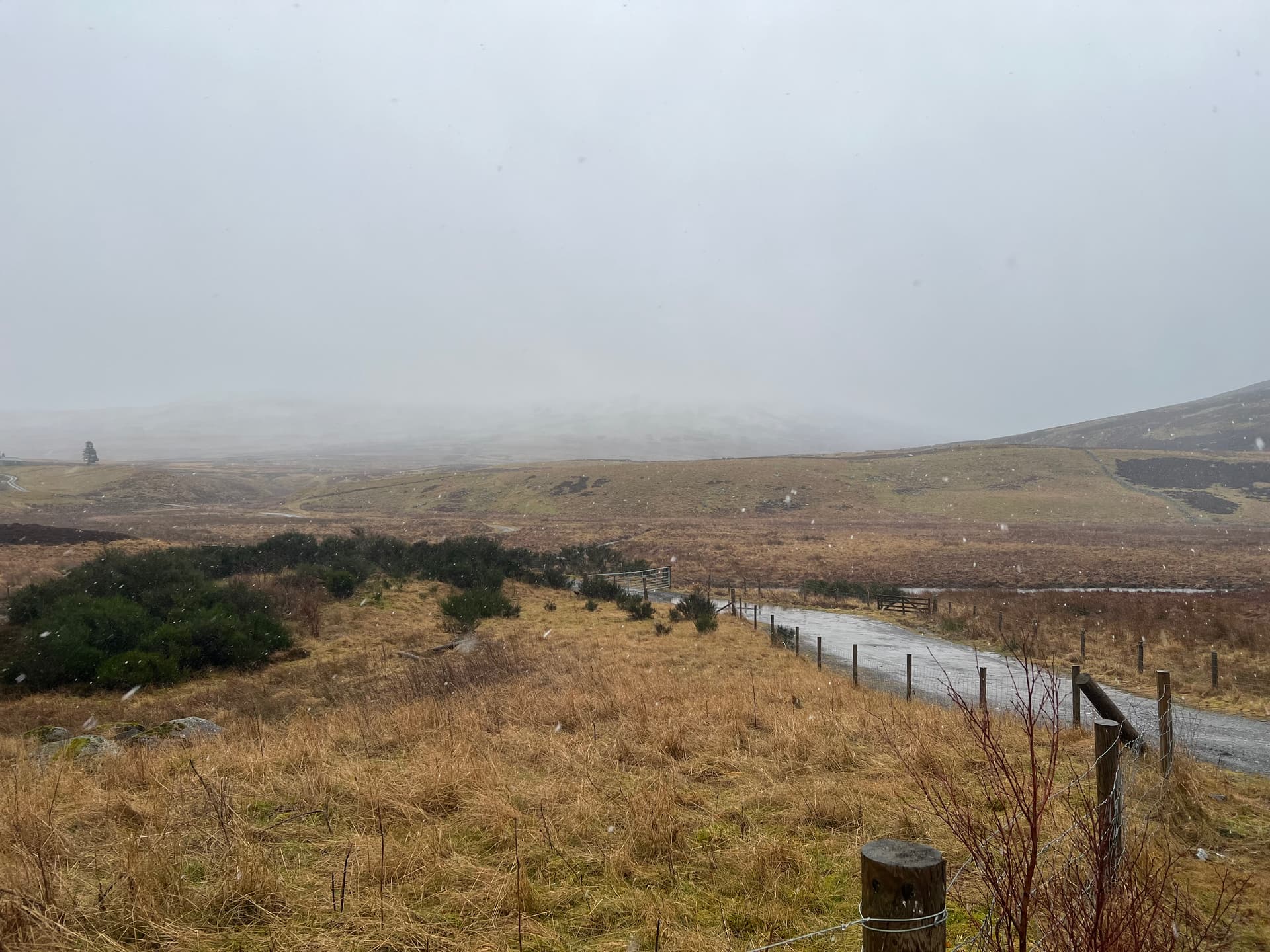
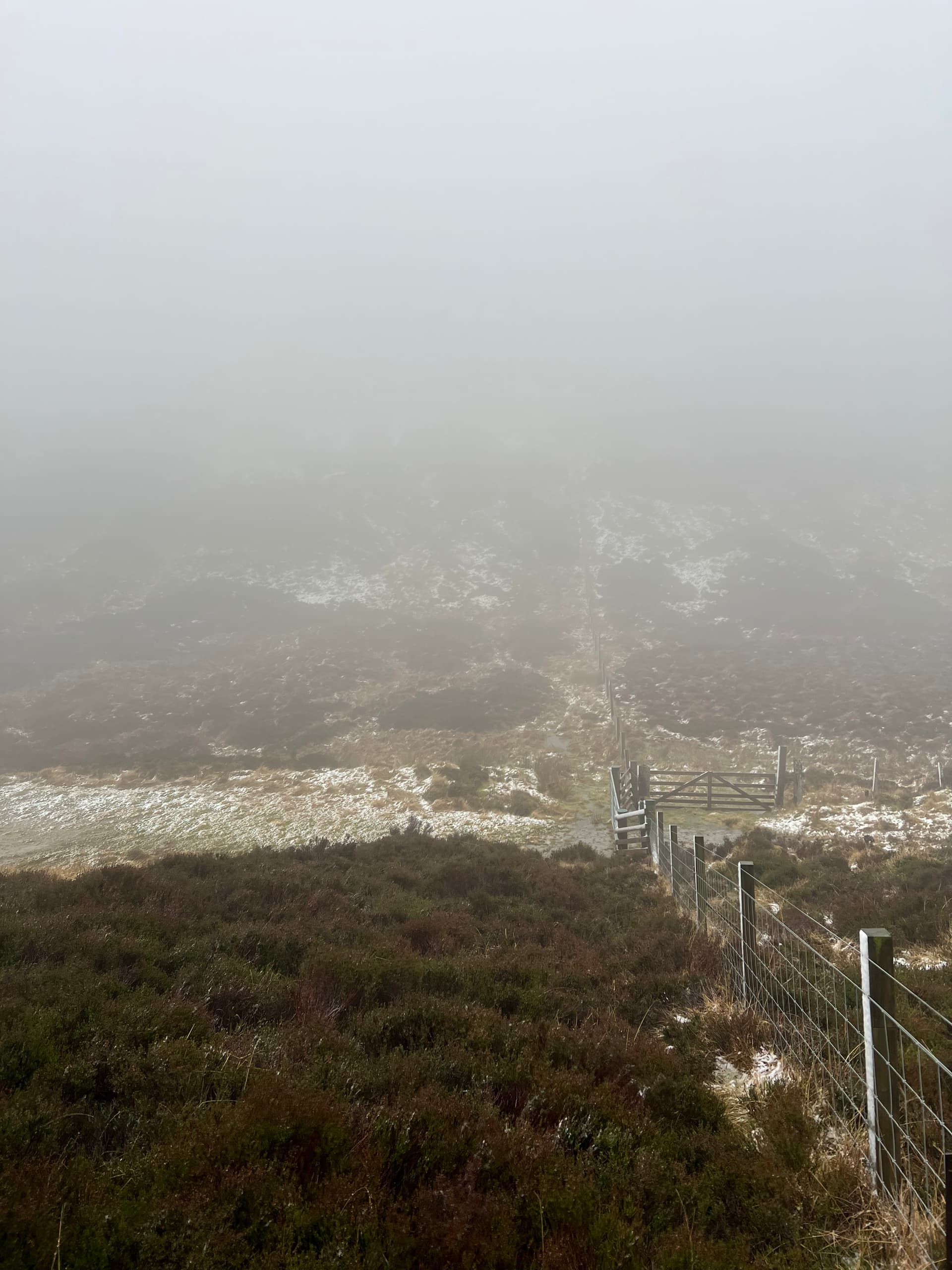
A frosty fence line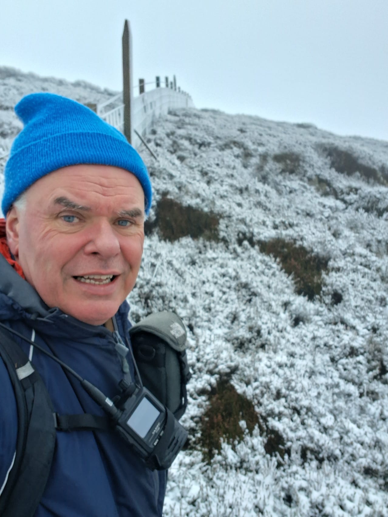
A steep climb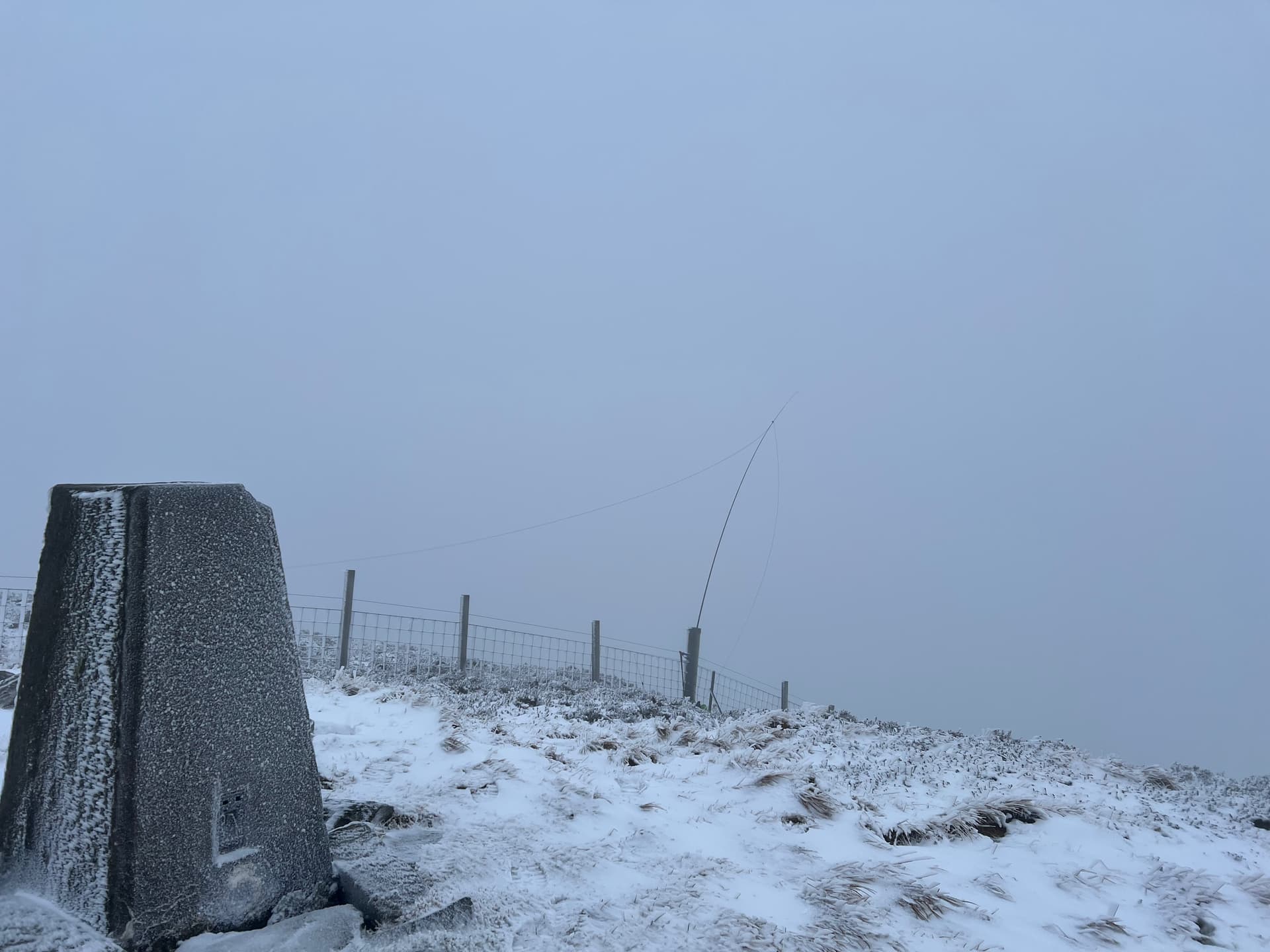
HF Station at the top
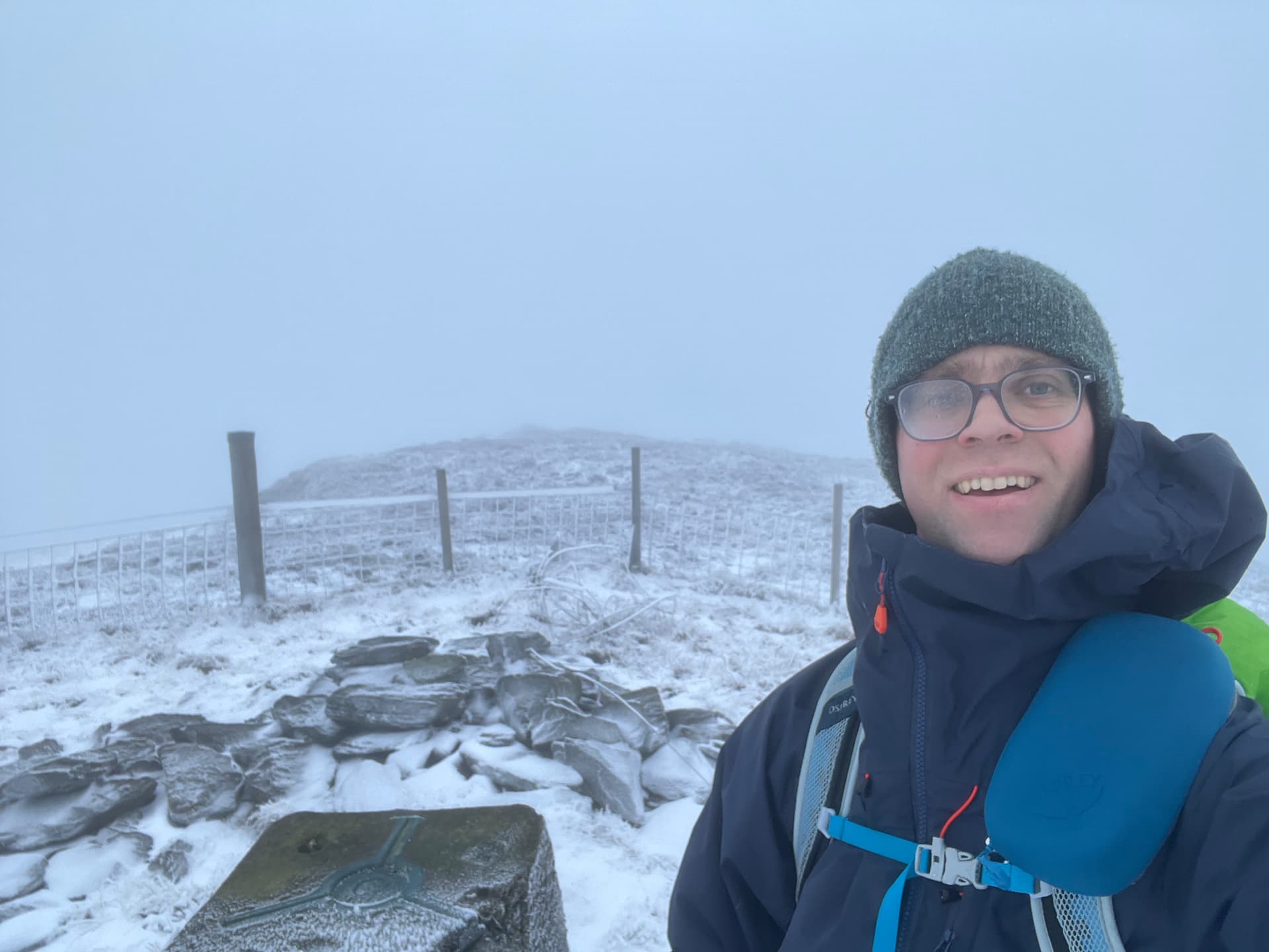
GM5ALX summit selfie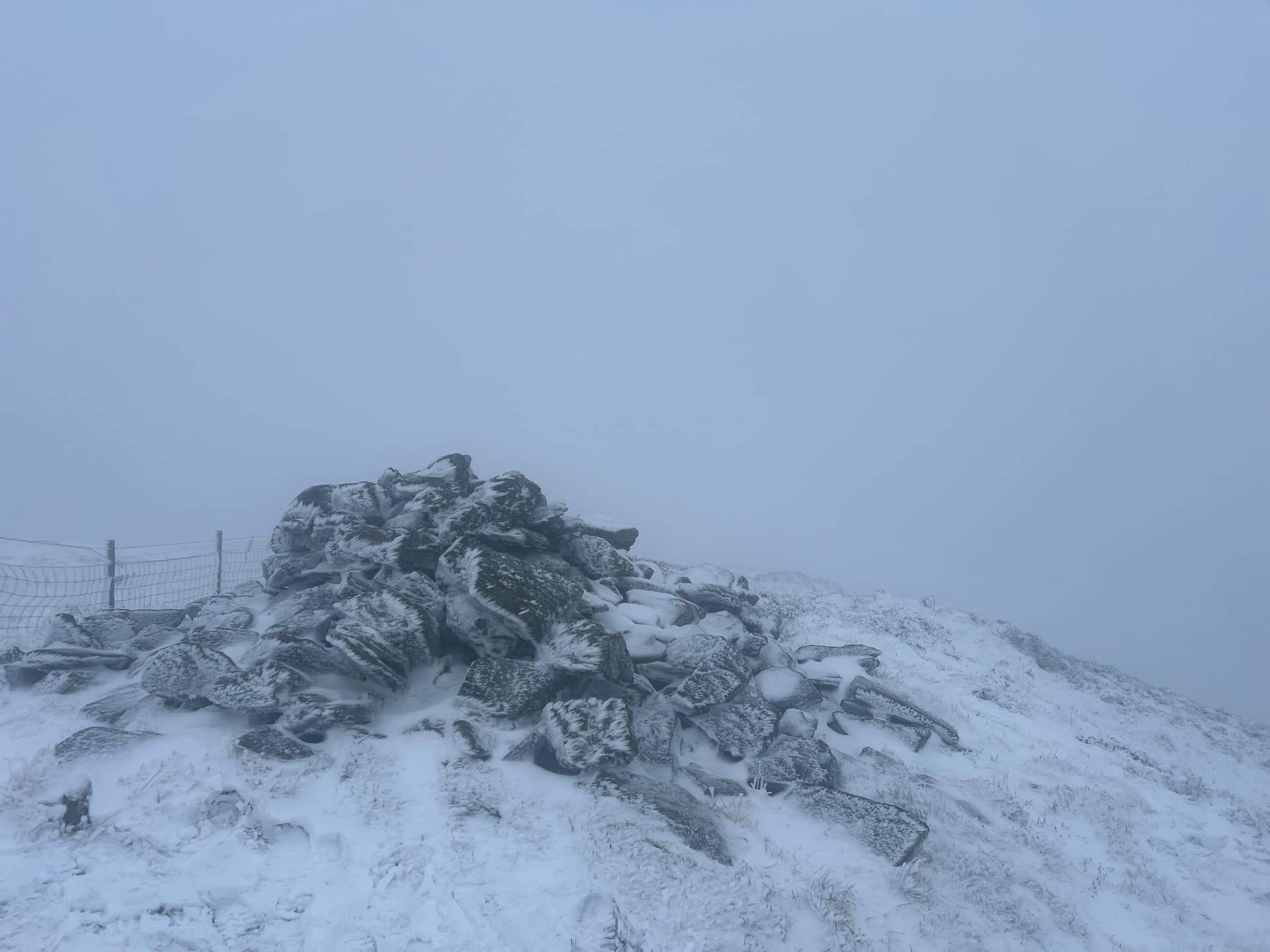
Cairn of Meall Reamhar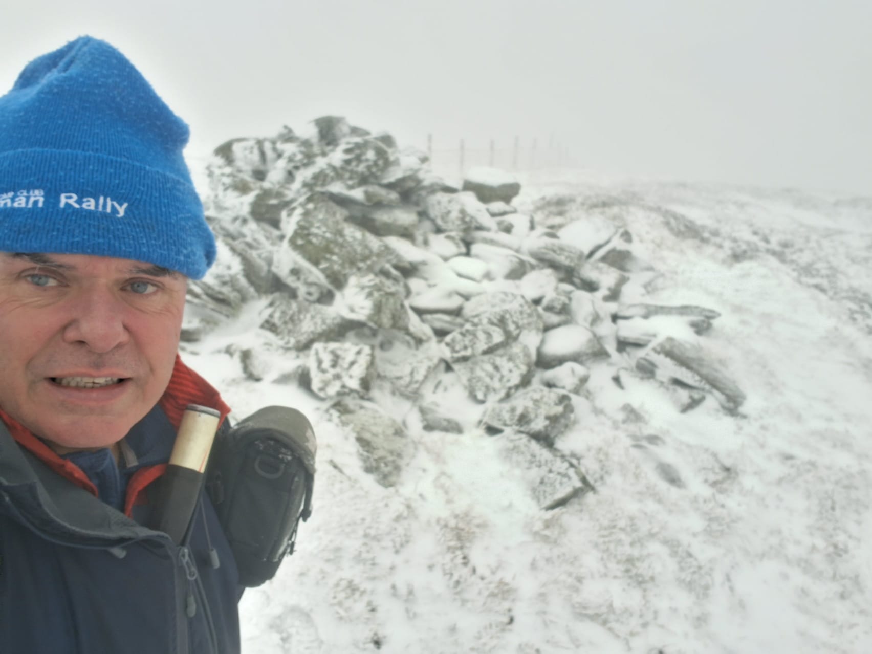
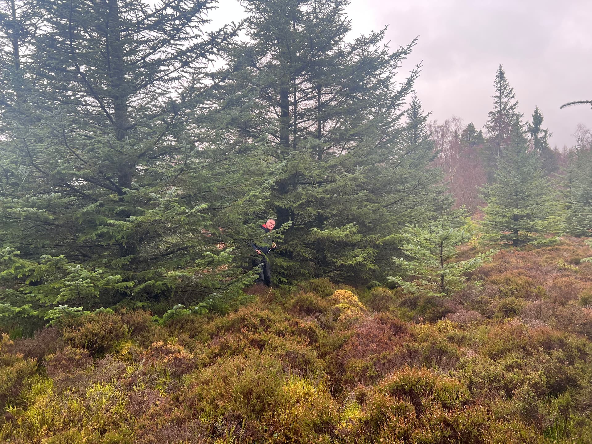
Fraser stopping his mast from freezing up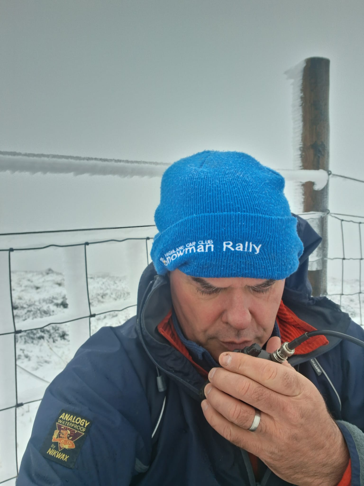
CQ 2m
The HF bands didn’t seem that active, but enough contacts were found and a few on 2m, plus of course the 900m S2Ss each time. The wind was strong and it was chilly, so neither of us hung about on the tops. We also had plenty of sweet treats to keep us going.
Satisfied with our activations and lack of rain compared to the Aberdeenshire forecast, we headed back to the car. The cloud had seemed to have lifted a little too...or maybe the halloween sweeties had made us more optimistic.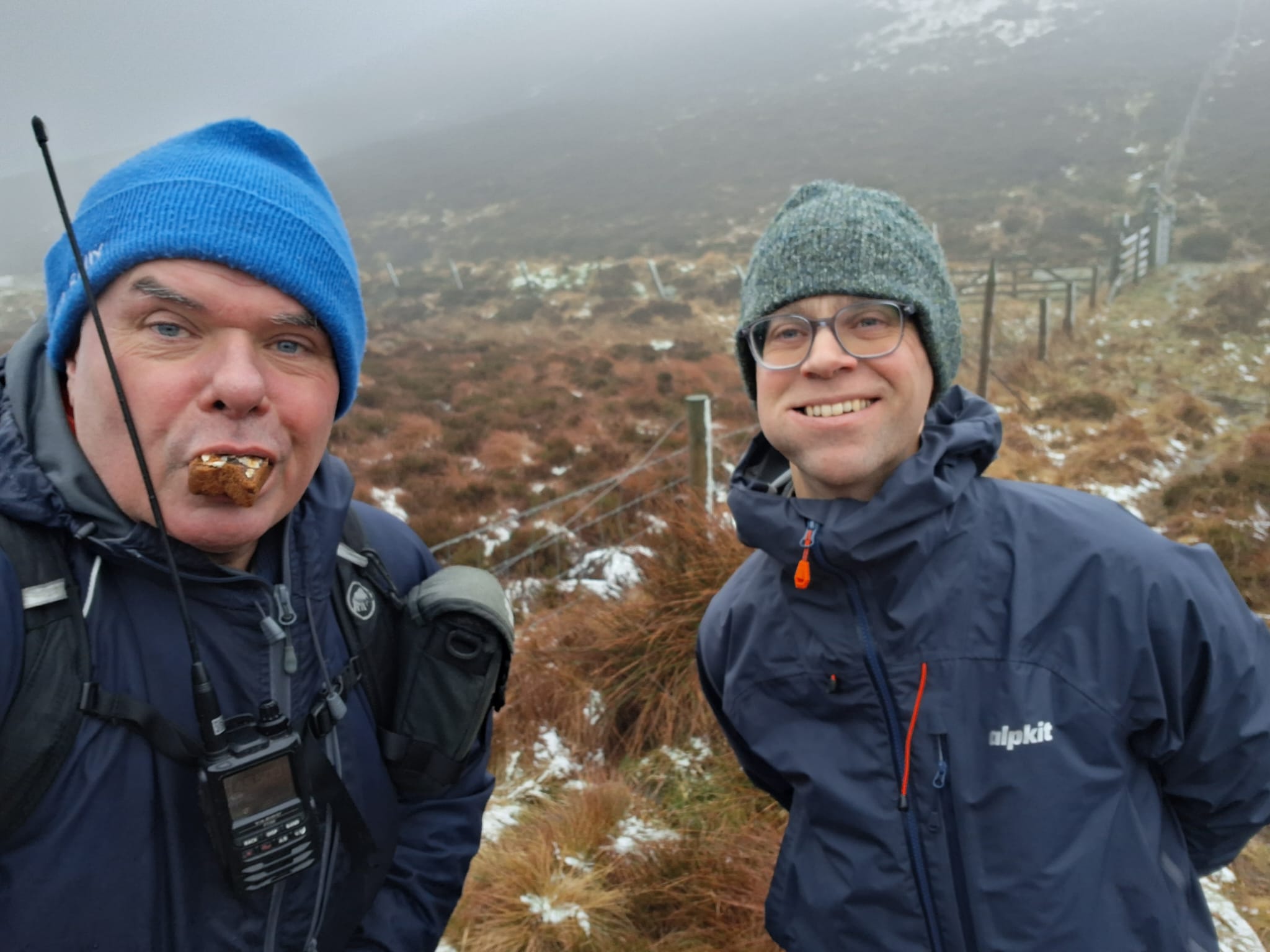
It was about 1:15pm when we were back at the car, and with a 2-hour drive home, we still had time to spare for something else…
Newtyle Hill - GM/CS-122
A wee hill outside Dunkeld seemed like the ideal way to make use of the spare time we had before heading home. Now perhaps a pint of Guinness in the Atholl Arms could’ve been another use of the time. ![]()
We parked up in a layby off the wee road that runs parallel with the main road by the Tay and joined the Loch of Lowes circular route. Various tracks took us up the hill and out of the forest into a heathery area. No paths on the map, so a straight line walk to the summit was my plan.
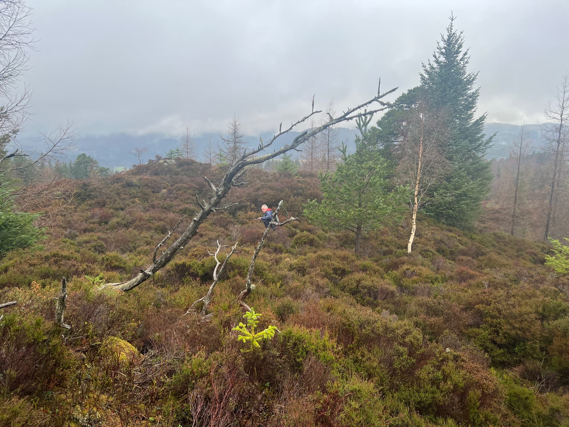
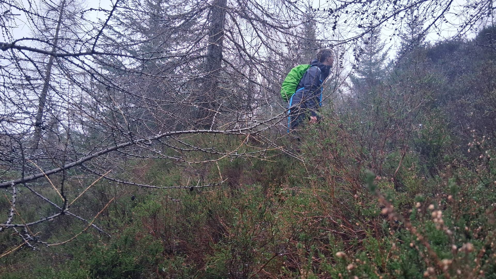
Which summit?
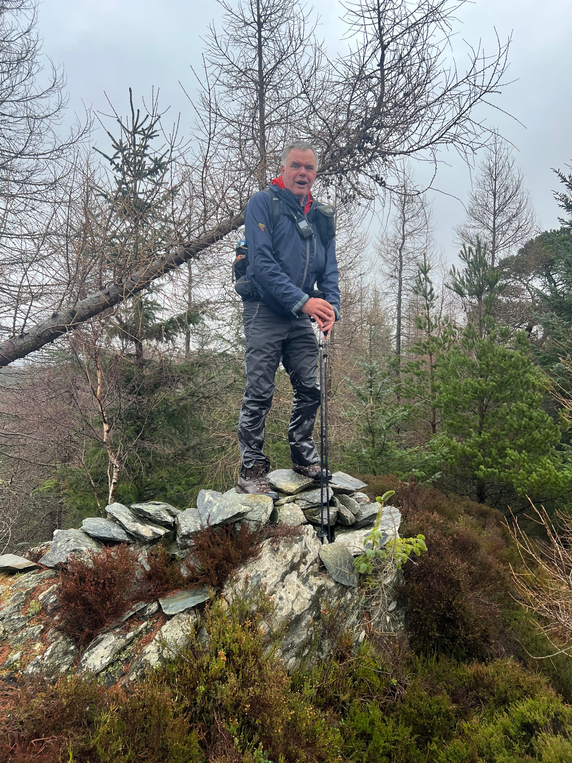
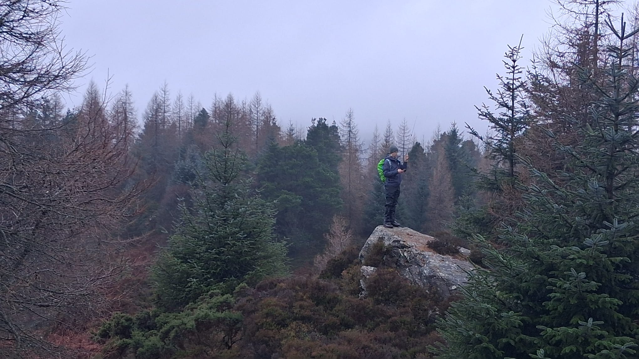
The final 500m to the summit was the hardest walk of the whole day. First was the waist high heather, next was actually finding where the summit really was. Every ridge looked like the top but there was always another behind. On the map, we could see a 310m contour, and a 314m spot height, but the sota database says 317m on another location.
Anyway, we decided a rock outcrop with makeshift cairn on top was the real top. Fraser setup here and I wondered over to the other top and setup there. As a contrast to the morning, we were nicely sheltered from the wind and I could just lean my mast against a tree.

We found a better way back to the track, and squelched back to the car. As we drove home the rain began and continued to fill the already well flooded fields and banks of River Isla outside Coupar Angus.