G4YSS Activation Report for NP15, NP16, NP31 on 13-03-20
Issue-1
GX0OOO/P on:
G/NP-015 /4 GREAT KNOUTBERRY HILL
G/NP-016 /4 DODD FELL HILL
G/NP-031 /4 BIRKS FELL
QRO 2m-FM only
All times UTC
EQUIPMENT:
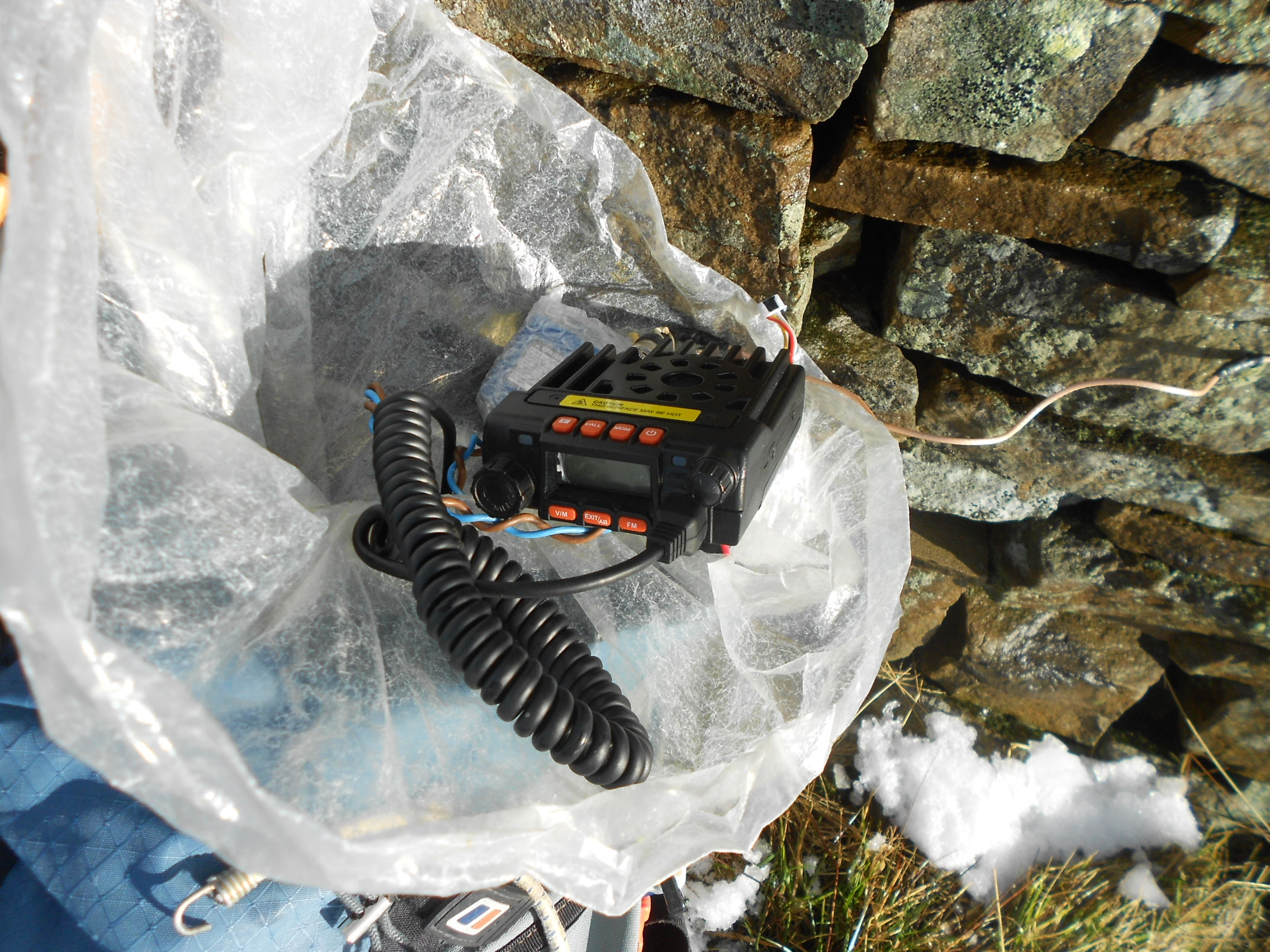
Moonraker MT270M, 2m/70cm, 25W mobile tcvr
2m Band J-Pole on carbon stick mast
Reserves (None Used):
Icom IC-E90, 6m-4m-2m & 70cm, 5W V-UHF H/H
UV-5R 2m/70cm, 5W V-UHF H/H
UV-3R 2m/70cm, 2W V-UHF H/H (top pocket)
Sotabeams 2m QRP Bandpass Filter
Batteries:
One 5 Ah Li-Po battery (part used)
Other:
Garmin Geko 301 GPS
Umbrella (not used)
Pack weights: 7.8kg (17 pounds) inc. 250ml water
INTRODUCTION:
With barely a handful of FM contacts from each summit, is it really worth a report I asked myself? For the sake of completeness, here it is.
My last activation before these was Buckden Pike over New Year so with winter bonus fast running out and a kind of guilt trip going on, I had to act. I keep a record of winter bunus points over the years, the best and worst being 162 and 18 respectively. Surely I wasn’t about to allow the tally for this winter to remain at a shameful one summit/ six points! Something had to be done and the easiest option was merely to repeat last February’s three activations. If nothing else it would make this report quicker.
Sloth was not the only reason for my lack of showings this winter. I’d had a little accident in January. Deciding to recommission some lightweight boots purchased in 2014 for EA8 and CT3, I omitted to check the laces which had been left slack for air travel. I take so much radio kit that I am forced to wear my boots on the aircraft and prefer to slip my feet out when sitting.
In a hurry and walking in to Scarborough at my usual full tilt of 4.4mph, the knobbly concrete of a Seamer Road crossing point came up in an instant, hitting me in the chest and stomach. I was badly winded, breathed nothing for at least 20 seconds and couldn’t get up, which was frightening. At this stage only the memory of ‘living through’ various full-blown thumps in the abdomen during my school days kept me from panicking but my right arm and ribs were quite badly hurt.
Struggling onto one knee, a double decker bus went by with a friend waving from it. How embarrassing! Now gasping and managing a weak wave with my good arm and a cross between a grimace and a smile, I got to my feet, hobbled along in as nonchalant a manner as could be mustered. With changing fortunes after another 50 yards, I found a fiver which later bought my tea and scone at M&S café. Isn’t life strange?
The doc said, ‘nothing broken’ but the soft tissue injuries, though gradually improving, are with me yet. Donning a rucksack a month ago would have been painful and even now my right arm is still weak. My wife thinks all this was intentional to get out of a list of DIY she’d given me just after New Year.
Considering all the high winds, rain and floods we’ve had this winter in the UK, the mountain weather forecast was good if only for one day. It always takes mental courage for me to do SOTA and it’s never a thing I look forward to. Quite the opposite I dread it, mostly because of the driving required but also about what else could go wrong. If the hills were in my back yard this definitely wouldn’t happen but gradually all those long days of the past, driving from Scarborough at anything from 02:30 and returning as late as midnight have taken their toll on my delicate psyche. Just the sight of the A66, A59 or A684 actually causes mild nausea and that’s been the case for some years now.
Last time Sasha was my companion but that faithful friend passed away in November. One day seven miles, the next day no hope. We all miss her badly. Her owners now have a lurcher puppy but despite responding unexpectedly well to training, Finn is too young and playful to do SOTA yet. Maybe one day?
There was a requirement that I would do ‘puppy sitting’ in the evening while Hazel and Jack were at scouts so taking the schedule from last year, I modified it to set off a bit earlier. Also HF and Top Band would be dropped from the Birks Fell activation in the afternoon. With just 2m-FM to set up on all three and no dog to worry about, I could get round faster. Maybe getting back before 7pm was possible but in the event I got back much earlier than that.
EXECUTION:
At 04:50 I drove out into moonlight to the accompaniment of the BBC-WS. It was light at around 6am and with minimal traffic, the 87 mile drive via the A170 and A684 was completed by 07:06. I had worried about the Coal Road but it was completely free of snow; not a ‘given’ when you consider the 1,700 foot ASL parking place. The pre-dawn wind had dropped and it was quite a pleasant morning.
NP15 ROUTE:
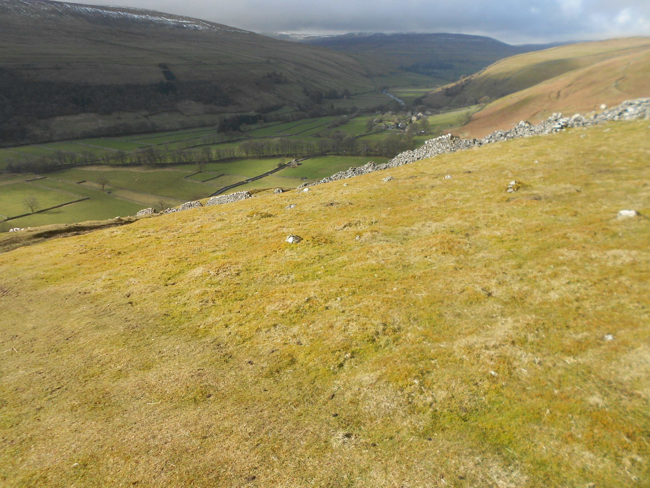
Just in brief as it’s been included many times before. Leaving the Coal Road at SD 7796 8805 you walk via the track, turning left at the gate and sheep pens at SD 7768 8744 and thereafter, up beside the fence. The ascent was started at 07:22 but as it was very wet underfoot, minor detours were necessary.
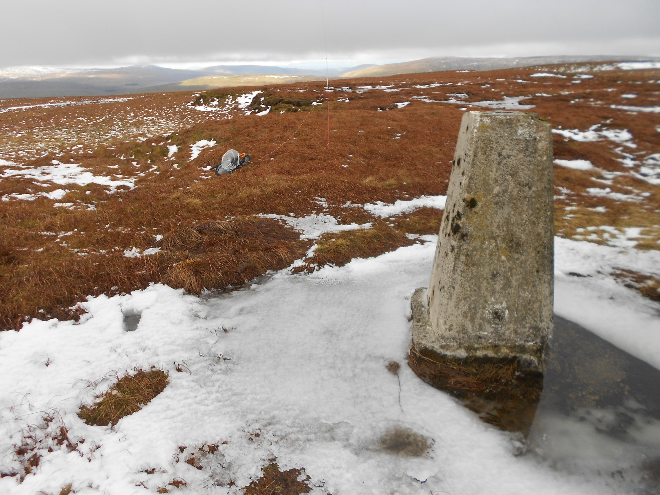
G/NP-015: GREAT KNOUTBERRY HILL, 672m, 4 pts. 07:53 to 08:26. 3C and 2 mph wind, later 12 mph. Sunshine. Small amounts of lying snow. IO84KP; WAB SD78. Trig Point TP3461. (Vodafone signal).
The J-Pole was set up by weaving the mast into the pig wire at the top of the wall then connecting it up to the Moonraker MT270M 25W miniature mobile rig (570gm) who’s receiver suffers from poor noise rejection. In case this became a problem I’d brought 5W H/H’s in reserve plus a new filter from Sotabeams. The filter isn’t rated for the 25W mobile rig output.
145.550 FM - 5 QSO’s:
A self spot and CQ on S20 brought in the following stations, all reports being 59 UOS: G6LKB and M3ULV Dave & Marjorie in Ulverston; MW1FGQ John in Holywell; M0TZR/A (57/ 55) Paul fixing three cars in his garage in Peterlee and 2E0MIX (59/ 57) Derek in Whitehaven. Checking S20 once more, there were no further calls so I was back to the Coal Road at 08:50 with time saved.
Drive to NP16:
At 08:55, just after leaving the NP15 parking place I worked Nick G0HIK/P on 2m-FM. He had cycled up Top o’ Selside, an LD SOTA in fact G/LD-048. Nick sounded pleased to work me. I think he was having a thin time of it, having not alerted due to being unsure as to whether he’d make it there on the bike. I hope he got three more after me.
The drive round via Hawes and the 1,900 foot ASL Cam Houses Road, the latter snow covered in places, took from 08:53 until 09:24. The three gates along Cam Houses Road have now all been bypassed with cattle grids so there were no delays pertaining to the six operations required in former times. Once at Kidhow, I traditionally drive 320m north up the Pennine Way to save time. This time I went too far, grounded and almost got bogged. A tricky turn-around and backtrack a short distance sorted that out, parking on the grass verge at the usual place SD 8304 8367.
NP16 ROUTE:
Here it is for the umpteenth time… A minor path leaves the Pennine Way track at SD 8339 8434 but it is not obvious and easily lost. From there it’s steeply up via SD 8344 8435, crossing a beck at SD 8352 8432 and following a boggy track via SD 8364 8434, SD 8376 8439, SD 8386 8443 and SD 8397 8453 to the ‘moated’ trig. Leaving the car at 09:26, I was on the boggy top in 22 minutes.
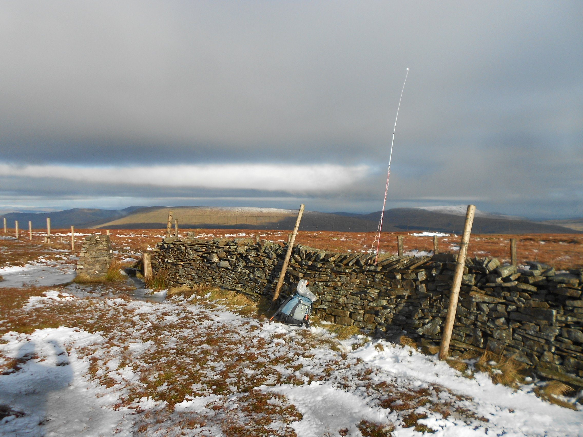
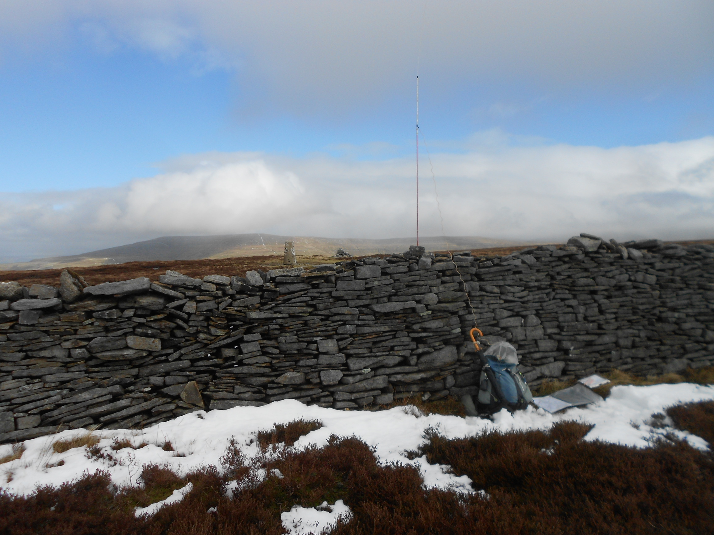
NP-016: DODD FELL HILL, 668m, 4 pts, 09:48 to 10:19, 1 Deg. C 8 mph wind. Overcast. LOC: IO84VG, WAB: SD88. Trig: TP2795. 1cm patchy lying snow with minor drifting in gullies. Sparse Vodafone mobile signal.
145.550 FM - 4 QSO’s:
Dodd Fell as never been good for contacts on 2m but the available 25W instilled a bit more confidence. Nonetheless I only managed four QSO’s as follows: M0NOM Mark in Windermere (57/ 51); 2E0MIX Derek in Whitehaven (59/ 56); G4OBK Phil in Pickering (59/ 58) and MW1FGQ John in Holywell (59’s). The QSO with Mark was initially completed on 145.500 but he came back later on .550 having moved his antenna up a metre. A return to S20 yielded nothing further so I took the opportunity to save more valuable time.
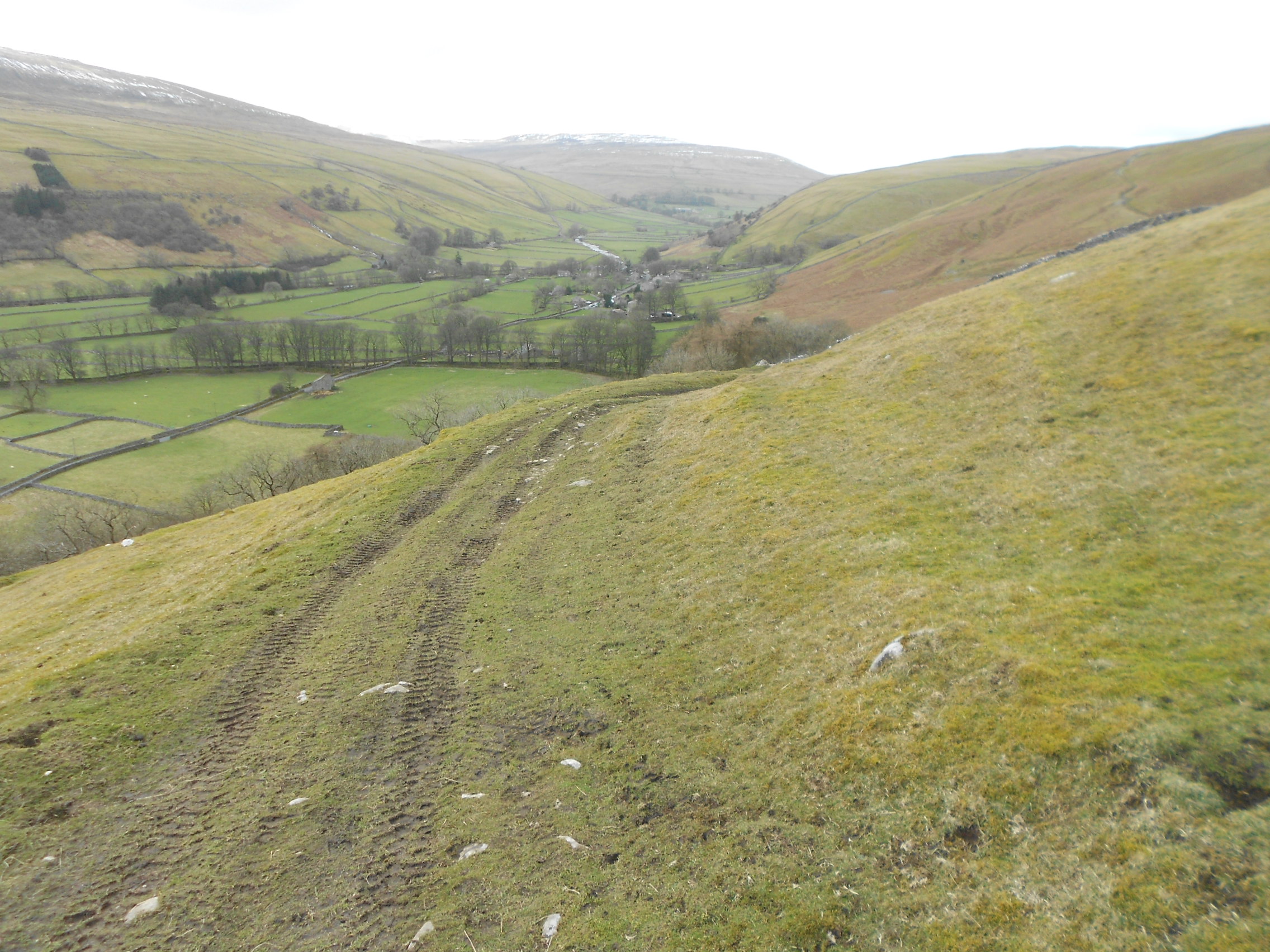
The descent was completed by 10:37 and with no rucksack to repack with HF kit and no dog to feed, I was now 80 minutes ahead of schedule. The 21 mile drive around to Litton followed a minute later and despite a line of three ‘slow coaches’ on the road down Wharfedale, I was parking at SD 9070 7409 in Litton Village by 11:29.
On the way past Fleet Moss I spied several vehicles and a helicopter which was picking up bundles and dropping the contents on this vast bog, which is part of the notorious Fellsman 60 mile walk if my memory serves me correctly.
NP31 Route:
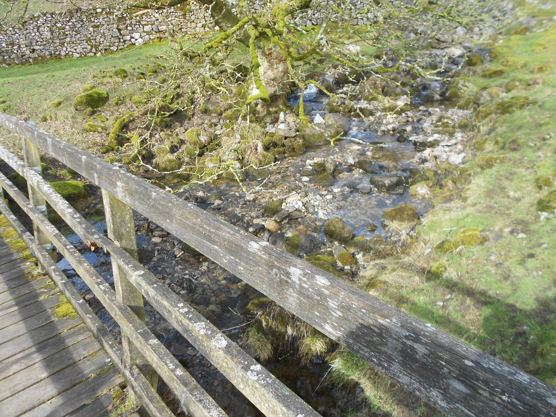
The route is via a well used Bridle Path. Bear left onto the bridleway in front of the pub and walk through the farm yard. At SD 9093 7411 leave the concrete farm road and go straight on through Gate 1. Going downhill on grass (losing about 7m), pass between walls to a slippery footbridge or ford at SD 9114 7409 then up to Gate 2 at SD 9129 7406. Gate 3 is further up at SD 9146 7397. Continue to follow the path where it bends sharply left at SD 9171 7389. This was Sasha’s favourite spot after an encounter with a rabbit two years ago. The next point is Gate 4 at SD 9204 7438. Gate 5 is set in the spine wall at SD 9245 7492 and it’s also well within the 25m zone but in deference to WAB chasers, I normally turn right to activate near the trig point which stands at SD 9260 7484.
The Birks Fell walk got underway at 11:33 but I knew that unlike the first two, this would be a more challenging climb. Suffering all the usual feelings of tired legs, pain, sweat and ‘why’ I eventually reached the trig point at 12:25 with the reassuring knowledge of only downhill from here.
G/NP-031: BIRKS FELL, 610m, 4pts, 12:25 to 13:06. 10 deg. C. 10 mph wind. Sunshine/ overcast. Lying snow at the wall sides up to 9 inches deep. LOC: IO84WE, WAB: SD97, Trig: TP-3179. Poor Vodafone mobile coverage (EE is usually nil).
145.550 FM – 7 QSO’s:
With the J-Pole mast wedged in the top of the wall and 25W, I worked the following stations: G4MYU - Art in Briarfield 59/ 57 (a friend of Mike G4BLH); G0HRT Rob - WAB enthusiast at Southport 59/ 54; MW1FGQ John in Flintshire 59’s again; G1YPQ/M Karl parked up on Sutton Bank top ‘then off for lunch in Helmsley’ 59/ 42; 2E0LKC and 2E0LMD - Peter and Ann ‘two miles from Manchester Airport’ (59’s). The final caller was G6HMN Ray in Manchester coming in at 14:00z with a ‘59 plus’ for me.
That was it! The SOTA part of the day was over and good old 2m-FM, so popular in the early days, had made it easy and very quick. No heavy packs, no putting up big aerials and masts and no staying until after dark for 160m. Furthermore, no massive report to write and endless lists of contacts to enter. The down side? Obviously not quite as much satisfaction and I did miss my HF friends but I’ll take that.
After a quick lunch while clearing up, the final walk down ended at 13:43. If it hadn’t have been for dog sitting in the evening I would have added Fountains Fell to these three as has happened in the past.
The 96 mile drive home (13:48 to 16:13) was via A684 & Sutton Bank, bypassing Thirsk via A1M and A168. This may have been the wrong decision but the roads as far as Masham were quiet. Last year I went via Pateley Bridge and Ripon to Sutton Bank which is 13 miles shorter. Care must be taken at junctions. I have a deep dread of ending up on York’s jammed up northern bypass.
QSO’S:
NP15: 5
NP16: 4
NP31: 7
TOT: 16
Battery Utilisation: 40% of an 11.1V, 5Ah Li-Po.
Ascent & Distance:
NP15: 176m ascent, 3.9 km. (2.4 miles). 31min up, 24min down
NP16: 94m ascent, 3.5 km (2.2 miles). 22min up 18min down
(NP16 is 4.2 km from Kidhow & back; reduced by driving 380m along the PW today)
NP31: 371m ascent, 5.5 km (3.4 miles). 52min up, 37min down
TOTAL: 641m (2,103ft) Ascent – 12.9 km (8.1 miles walked)
Times: 1hr-45 min of ascent; 1hr-19 min of descent
Total walking time: 3hr-4 min at 2.6mph ave.
Summit times: NP15: 33min. NP16: 31min. NP31: 41min
Total summit time: 1hr-45min
Chronology:
Left Scarborough: 04:50
Arr. Coal Rd, (88 miles): 07:06
Walk for NP15: 07:22
NP15: 07:53 to 08:26
Rtn. Coal Rd: 08:50
Drive Kidhow Gate & 380m up Pennine Way (14 miles): 08:53 to 09:24
Walk for NP16: 09:26
NP16: 09:48 to 10:19
Rtn. Car: 10:37
Drive to Litton (21 miles): 10:40 to 11:29
Walk for NP31: 11:33
NP31: 12:25 to 13:06
Rtn. Litton: 13:43
Drive home (96 miles): 13:48 to 16:13
Distance driven: 219 miles (88+14+21+96)
Activator points: 21 inc 9 bonus
…………………………………………………………………………………………………………
OBSERVATIONS:
This was more about fresh air and better exercise that can be obtained by merely walking around home than the radio work but the desired winter bonus was gained. Carrying a rucksack as well as putting it on was not a problem but getting up off the ground with a weak arm at the end of each activation was surprisingly difficult.
HF would have been possible on one summit but 2m-FM is a simple option that got the job done with the minimum of fuss. The weather was kind too. Low wind speeds, some sunshine, no low-cloud, positive temperatures and only a little drizzle going up Birks Fell. The bit of lying snow didn’t impede walking and the views were good, especially of Ingleborough.
Summit stays were short but there was time for a brief chat with everybody. There were no summit-to-summit contacts but I did manage one chase from the car – Neil G0HIK on LD48.
All in all, I’m satisfied with that and relieved I got it in before the 15th and before Covid-19 takes hold. It’s anybody’s guess what might happen with the latter but things are looking quite serious even if you ignore the media hype. On that subject, I never thought I’d ever be saying it but I’m actually missing Brexit! Yesterday I was banned from visiting my friend Roy G4SSH in Briar Dene rest home, something I did every Tuesday evening. He’s OK by the way, having accepted his situation. I’m certainly missing Roy’s contribution to my SOTA expeditions.
THANKS:
Thanks to ALL STATIONS WORKED, to the Sotawatch spotters G6LKB, M6VMS and the SOTA self-spotting service.
73, John G4YSS.
(Using GX0OOO/P; Scarborough Special Events Group Club Call)
…
Photos: 1-3-8-11-14-16-22-23-26-27-35-36-39-44-53-56-58-60-76-78
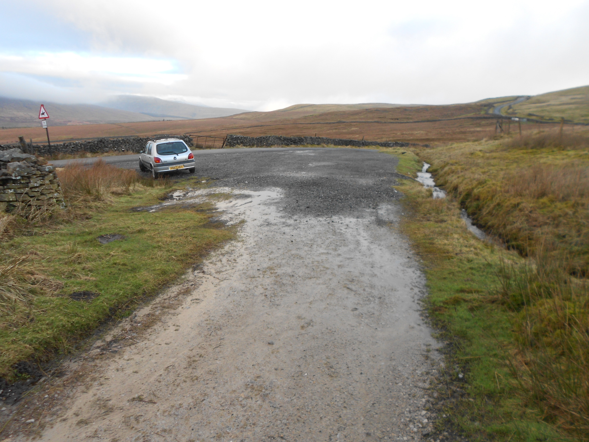
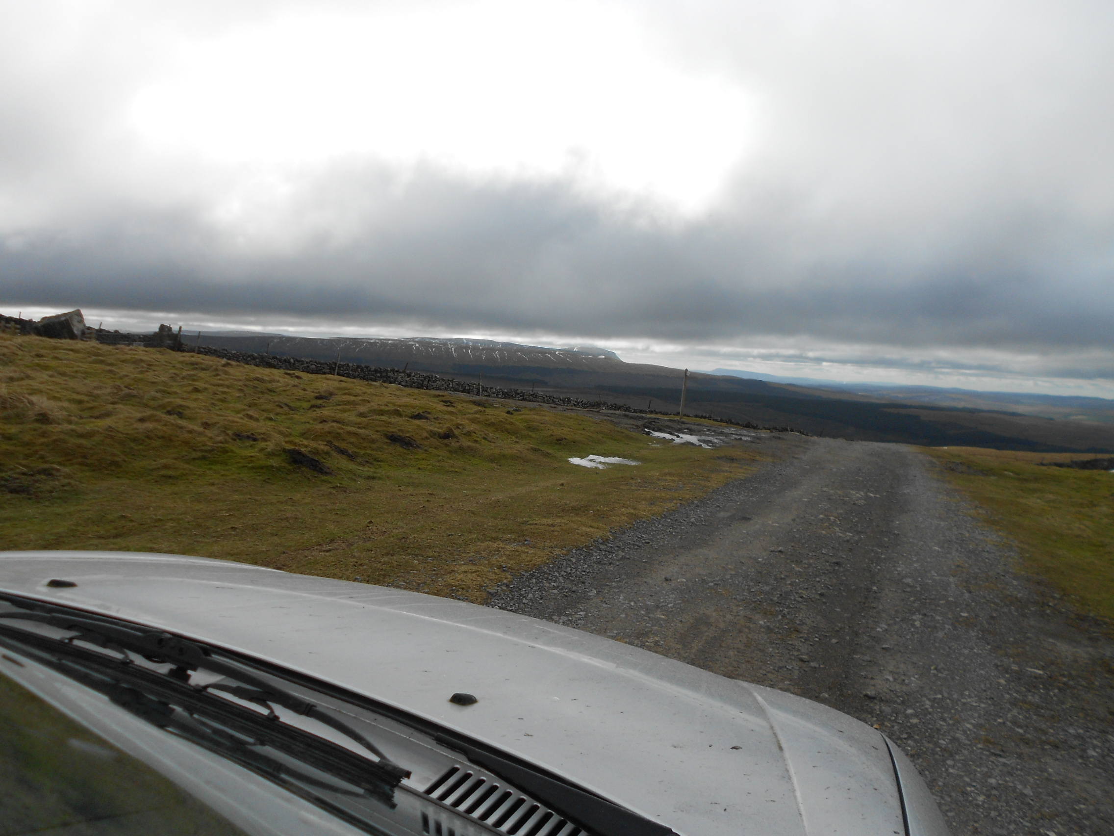
Above: Coal Road, parking place and track for G/NP-015
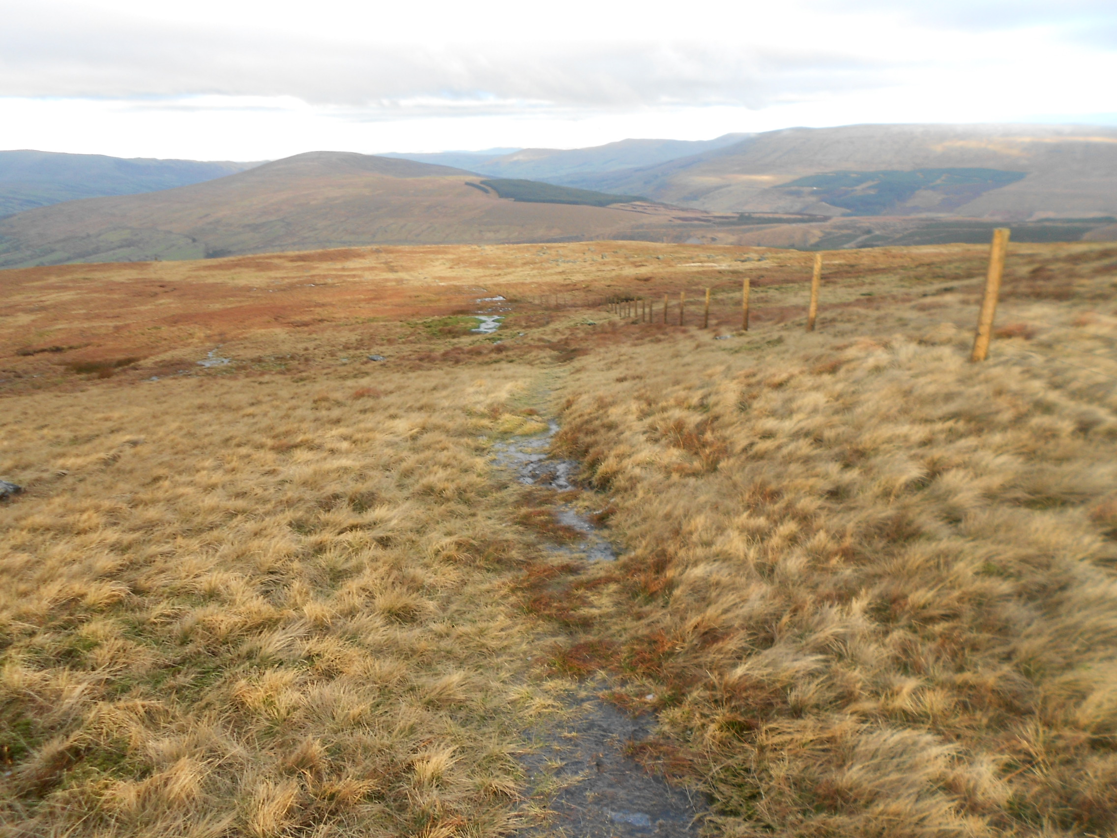
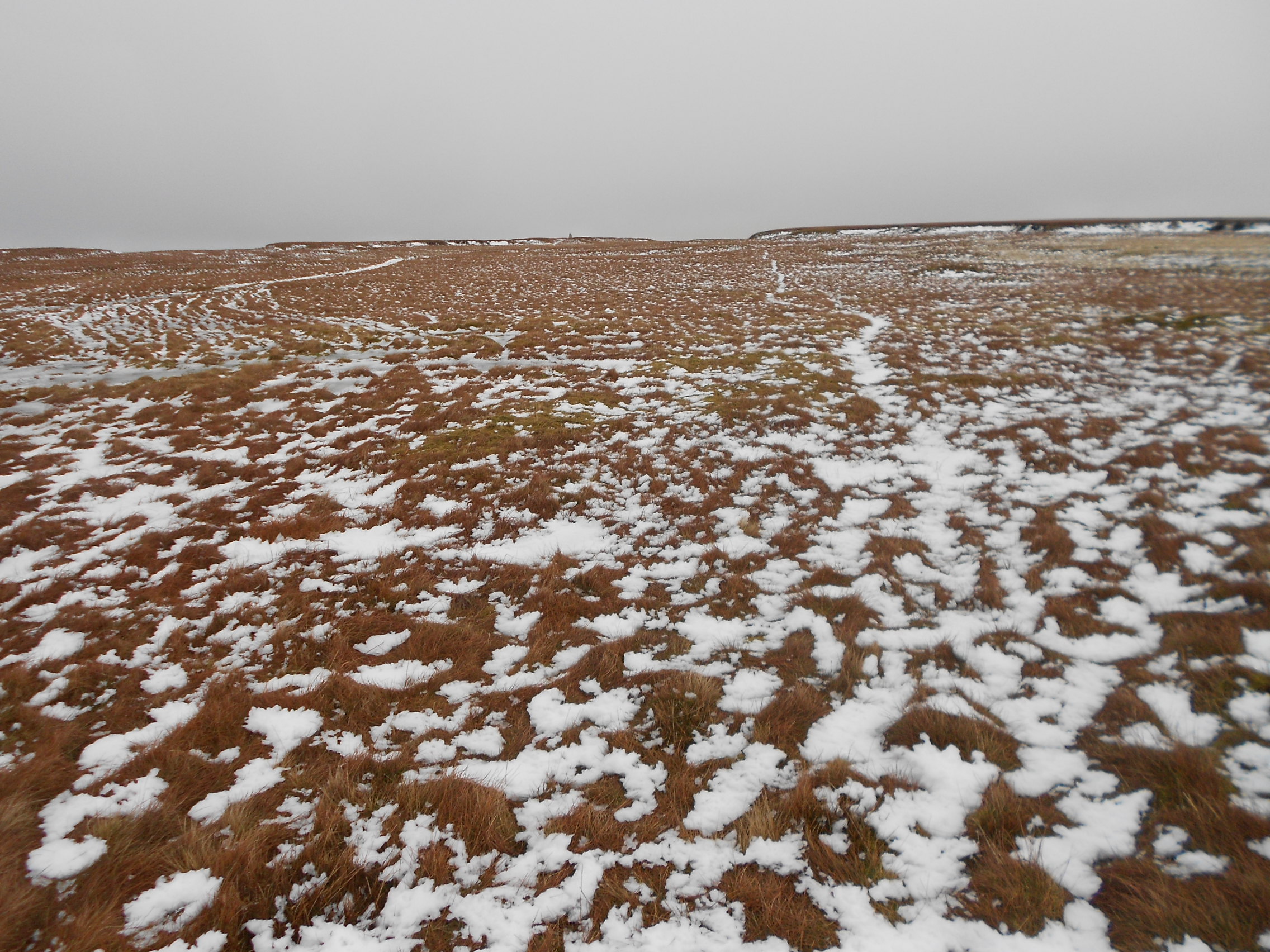
Above: Soggy path to NP15
Above: Final approach, GNP-015
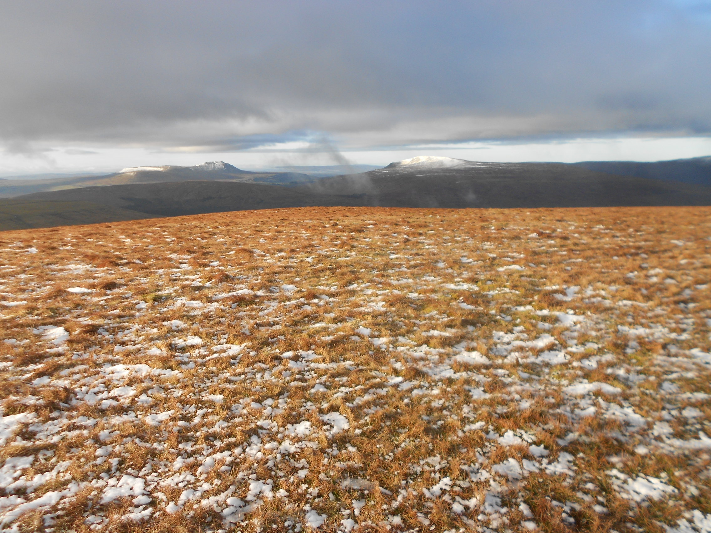
Above: Ingleborough NP5 & Whernside NP4 from Great Knoutberry (Widdale Fell) NP15
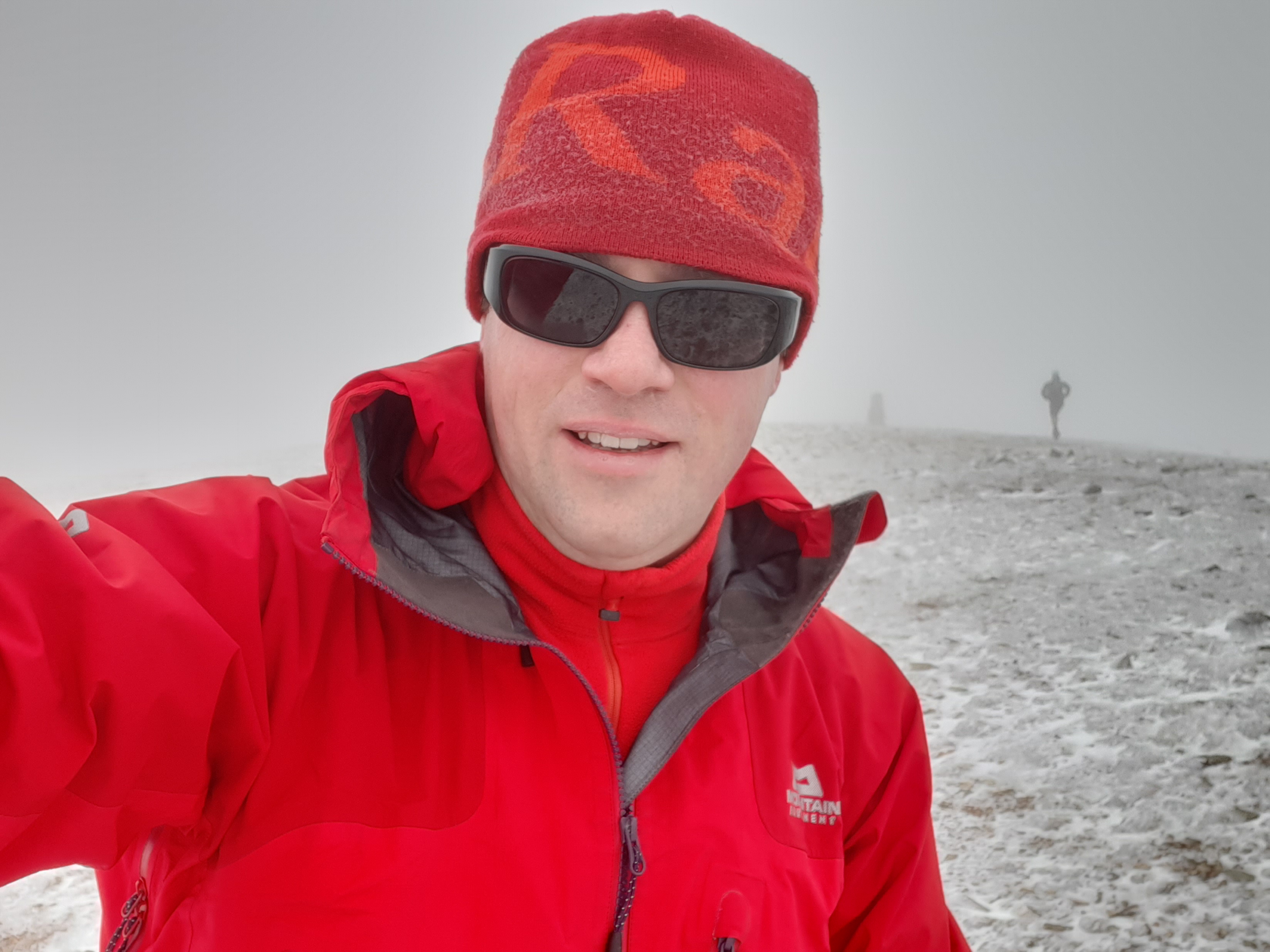
Above: Activation of G/NP-015 on 2m-FM
Above: Activation of G/NP-015. Moonraker MT270M.
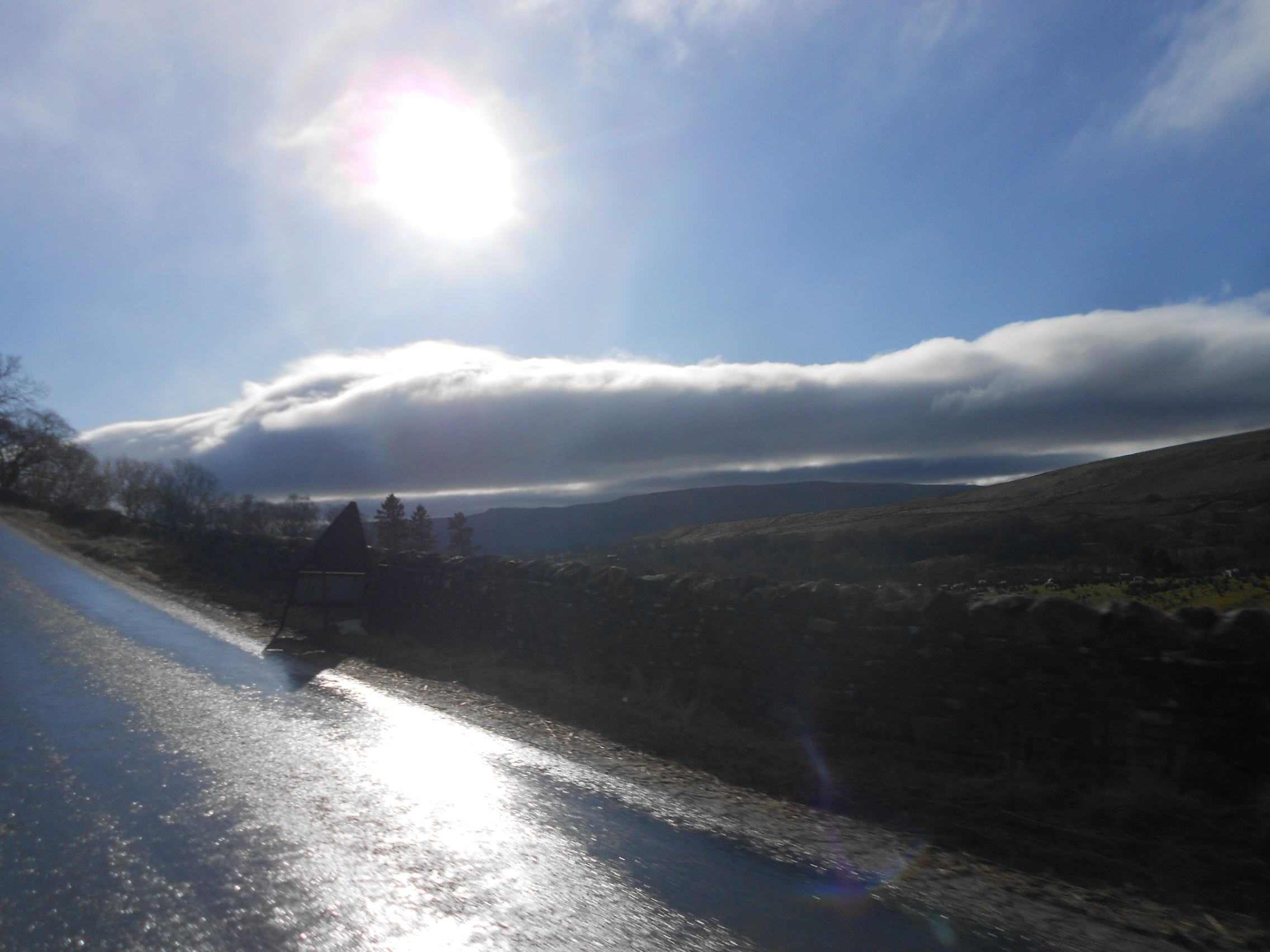
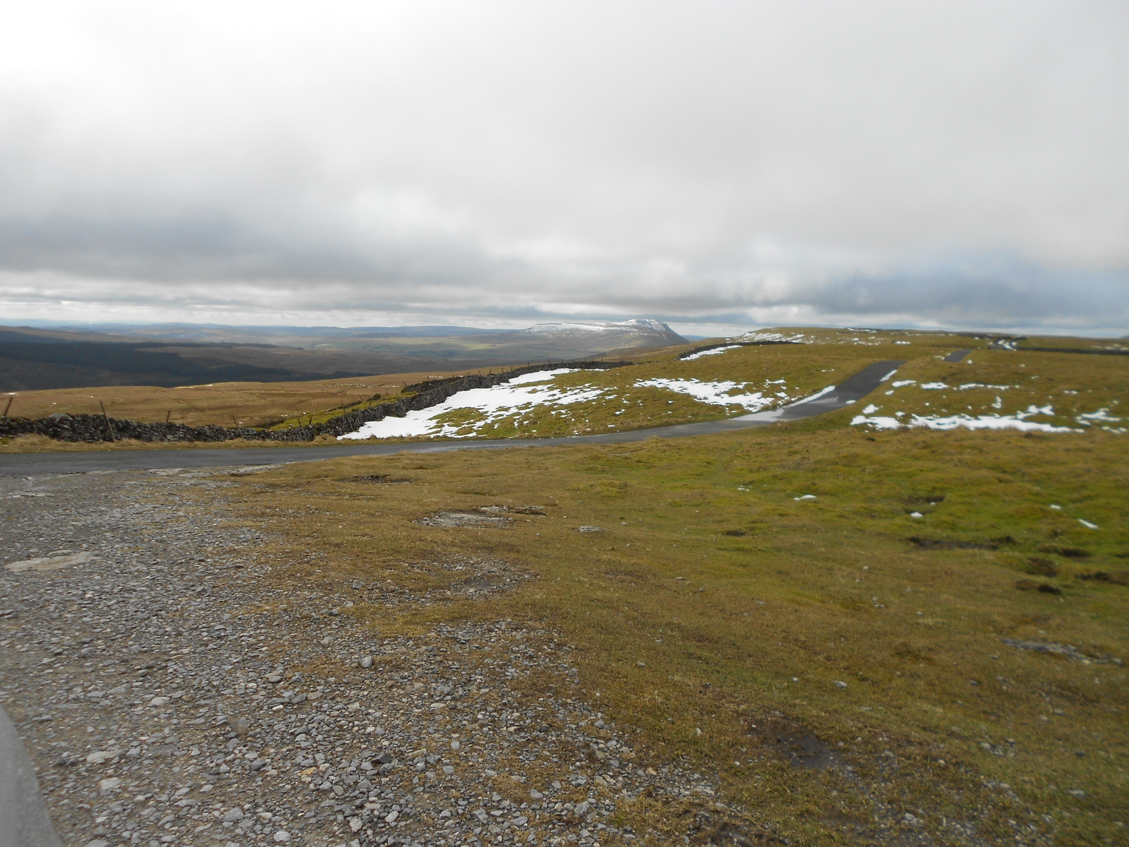
Above: The A684. On the way to NP16 from NP-015
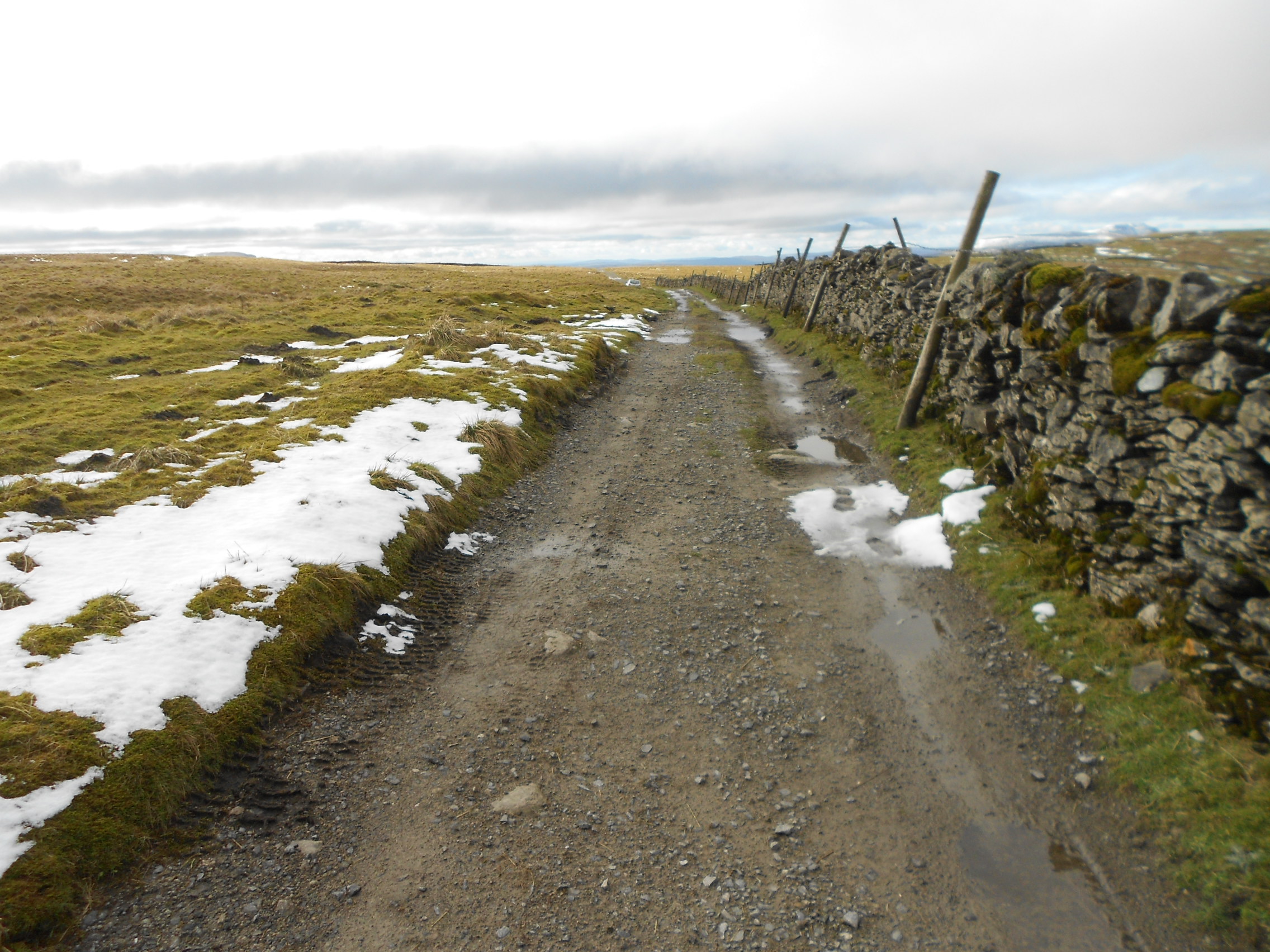
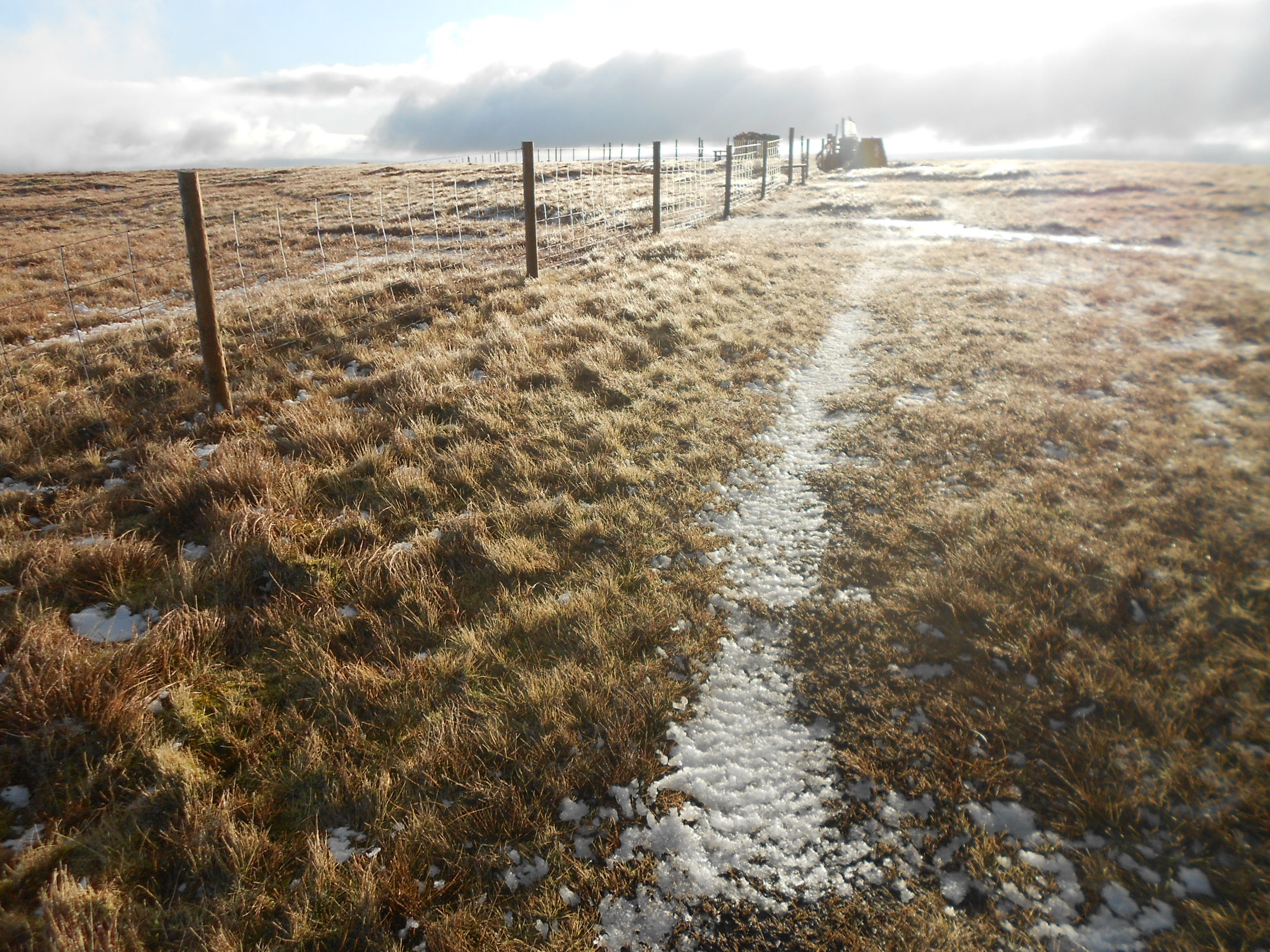
Above: Walking to NP16. Looking back at the Pennine Way parking place.
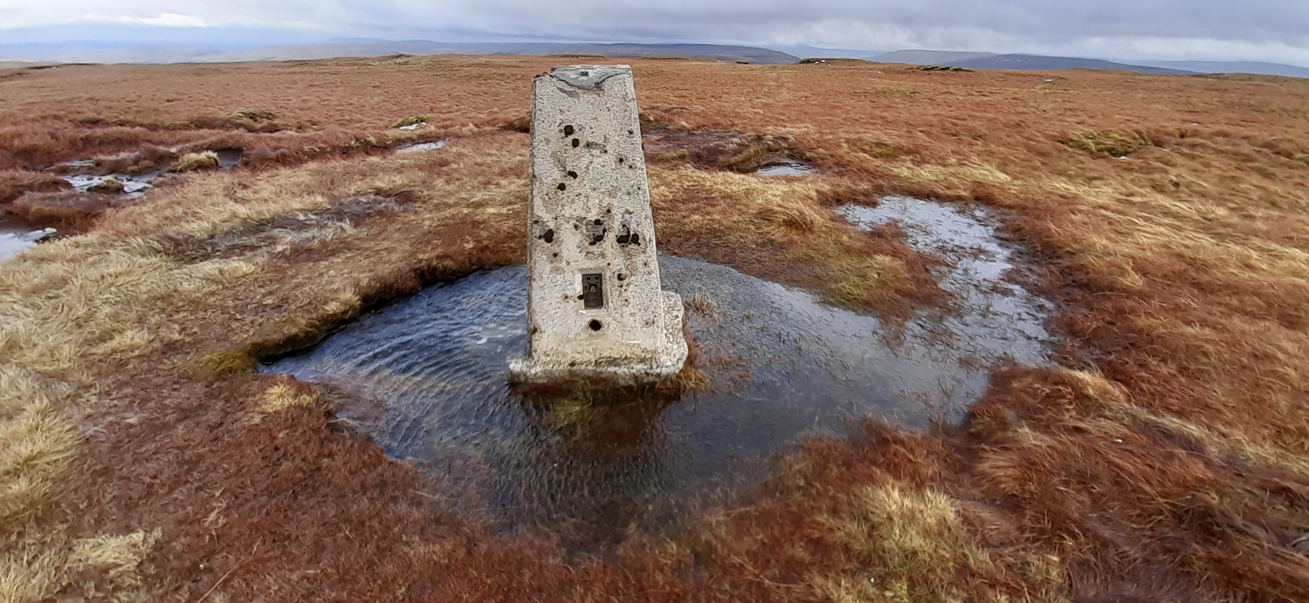
Above: Approaching NP16. Trig point ahead.
Above: Activation of Dodd Fell G/NP-016 on 2m-FM & Trig point TP-2795.
Above: Re-joining Cam Houses Road from the Pennine Way track at Kidhow Gate.
Above: Cam Houses Road - Pennine Way junction at Kidhow Gate. View of Ingleborough.
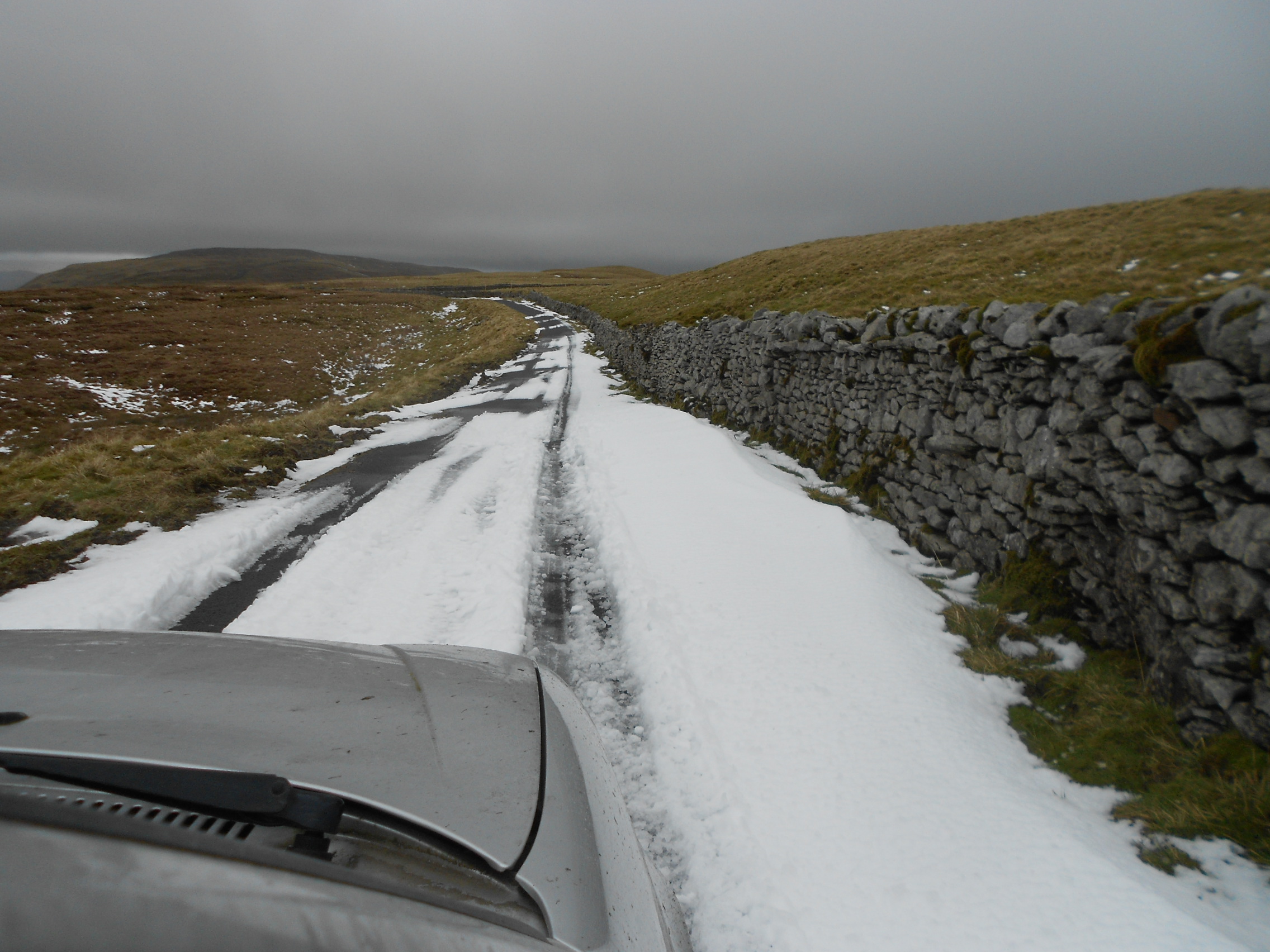
Above: Snow on Cam Houses Road. Approaching the Hawes - Kettlewell road junction on the way to Birks Fell NP31.
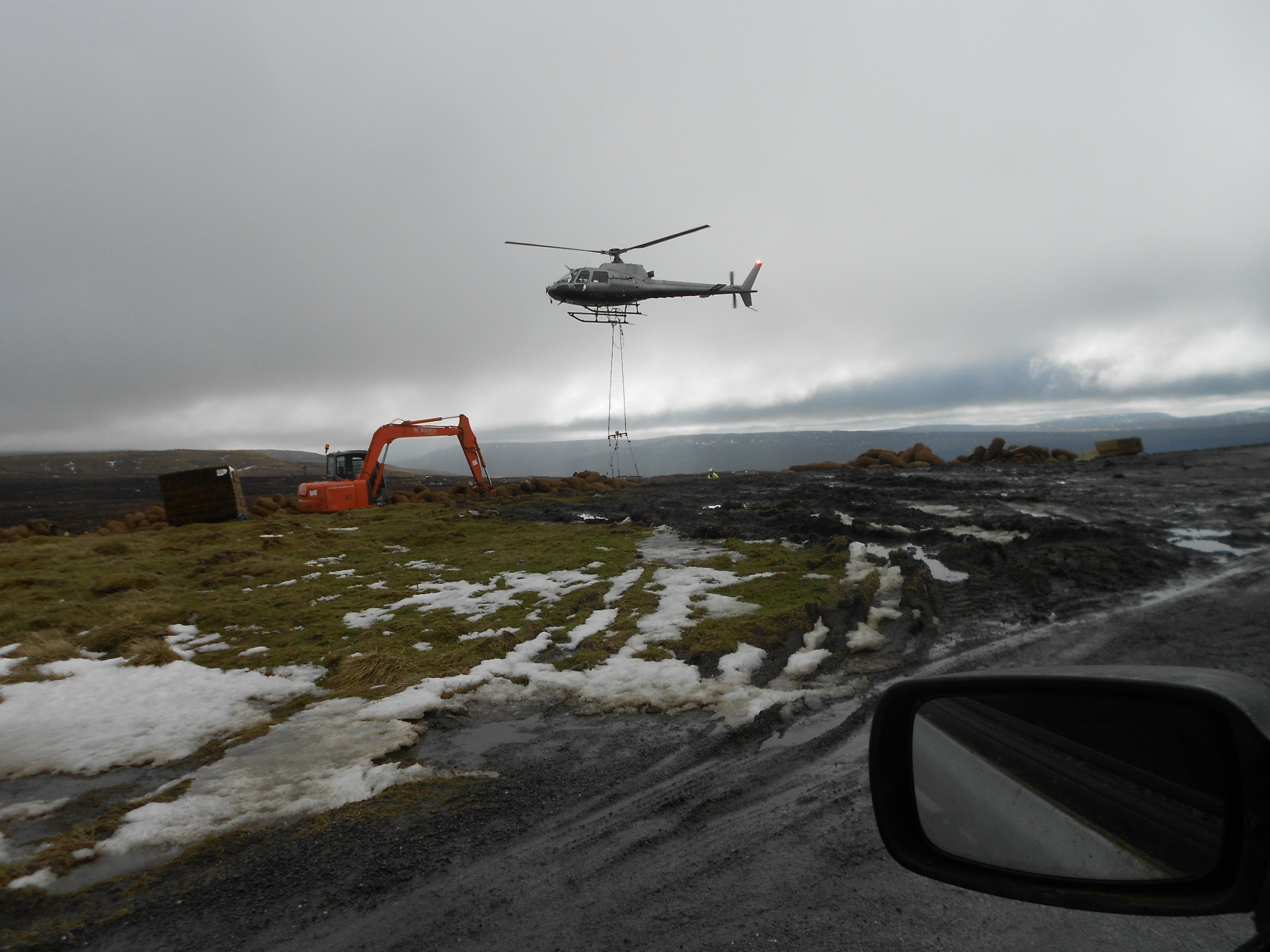
Above: Helicopter ‘resurfacing’ Fleet Moss bog from the Hawes - Kettlewell road. See: https://www.yorkshiredales.org.uk/restoring-the-amazon-of-the-yorkshire-dales/
Above: The track to NP31 passes through this farmyard in Litton Village.
Above: Track to NP31. Footbridge.
Above: Track to NP31 turns left here.
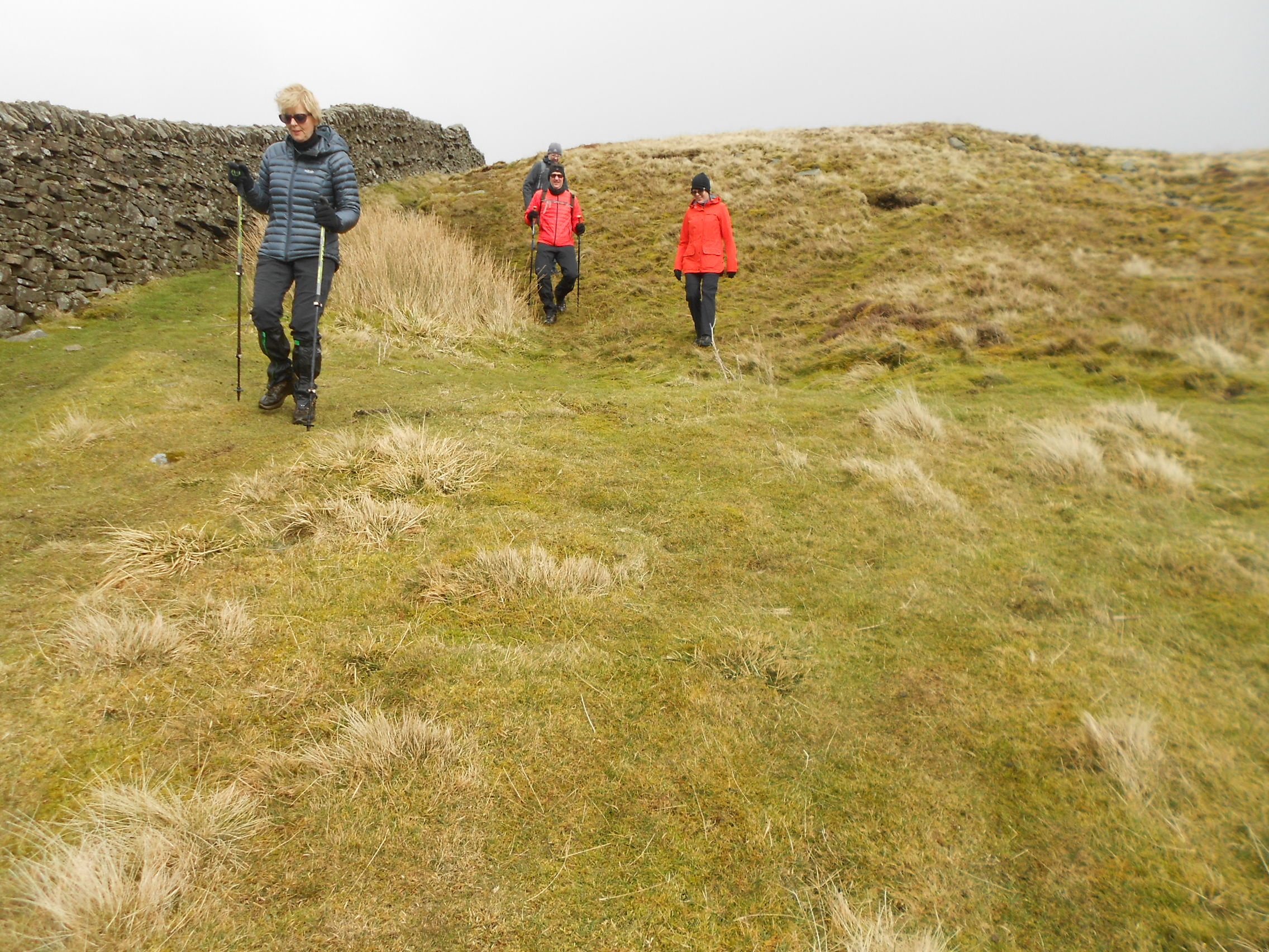
Above: These walkers turned out to be local; in fact very local as they live at the foot of Birks Fell.
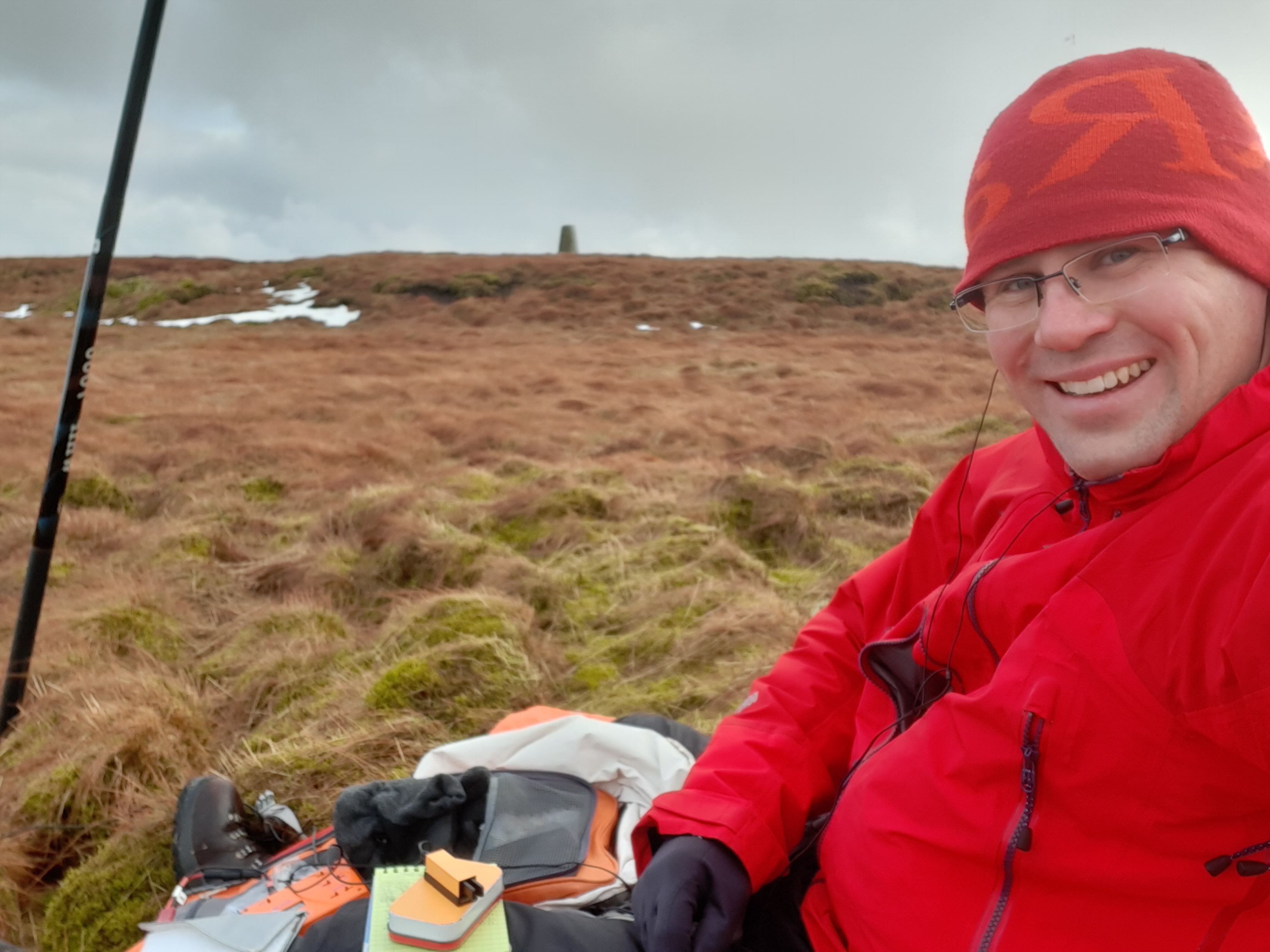
Above: Activation of Birks Fell G/NP-031 on 2m-FM.
Above: Almost back down the last one. Litton Village ahead.