G4YSS Activation Report for GM/WS-339, 05-09-21
Issue-1 (Errors?)
Druim na h-Earba. GM/WS-339 on 20m QRO
GM4YSS/P Unaccompanied. Quick afternoon activation from the hotel in the rain.
All times BST (UTC plus 1hr, UOS)
RADIO EQUIPMENT:
FT817ND HF/VHF/UHF 5W Transceiver without internal batteries
MX-P50M, 50 Watt HF Linear Amplifier
Link dipole for 80-40-(30)-20m Bands
Four section x 5m home-brew CFC mast with 1m end sticks
Reserve Rig: IC-E90 four band 5W VHF H/H (not used)
Batteries:
One 5Ah Li-Po
Garmin GEKO-301 GPS
Pack weight:
18kg (20 pounds) inc. 250ml fluids
Introduction:
John - M0WIV, inspired this activation after his comment on my last report on the WS293 activation. It was the first I’d heard of WS339 but thinking about it, maybe it was the one mentioned by Robin GM7PKT on 2m-FM the day before and GM4NFI David’s local summit. The problem is tying up the pronunciations of these Scottish summits with the SOTA ref.
Anyway after a lazy morning doing a SOTA report etc, I needed a walk. Normally a stroll from the hotel would have sufficed but when I looked this summit up I realized that it was close by and would make a worthy target in the two or so hours available before evening meal. My wife, who has MS and suffers MS fatigue, retired to bed for her afternoon nap at 15:00 so without even bothering to change into walking clothes, off I went to the car park to collect my rucksack just in case I wanted to activate.
Route and Execution:
Leaving the Highland Hotel car park in Fort William (NN 1014 7369) at 15:16, my first challenge was to find a way onto the road above the hotel; Cameron Road. Down where the hotel driveway meets the road there is a snicket going uphill onto this road. From there it’s a hairpin right and head for Lundavra Road which goes south out of Fort William. It’s the same road as used for WS293 the day before and uphill all the way. After just a few yards the day’s rain started.
A dog walker directed me to the gate where the path leaves the road - NN 0969 7210 by 15:40. This is opposite a viewpoint that overlooks The Ben. By now the rain was set in so from then until the end I used a brolly.
The grassy path is easy to follow but quite steep in places, going via NN 0942 7180 and NN 0929 7160 to the trig point GPS’d today at NN 09002 71303. I saw one person coming down at a trot to escape the rain. He perhaps had more sense than I did but unlike me he wasn’t on a mission.
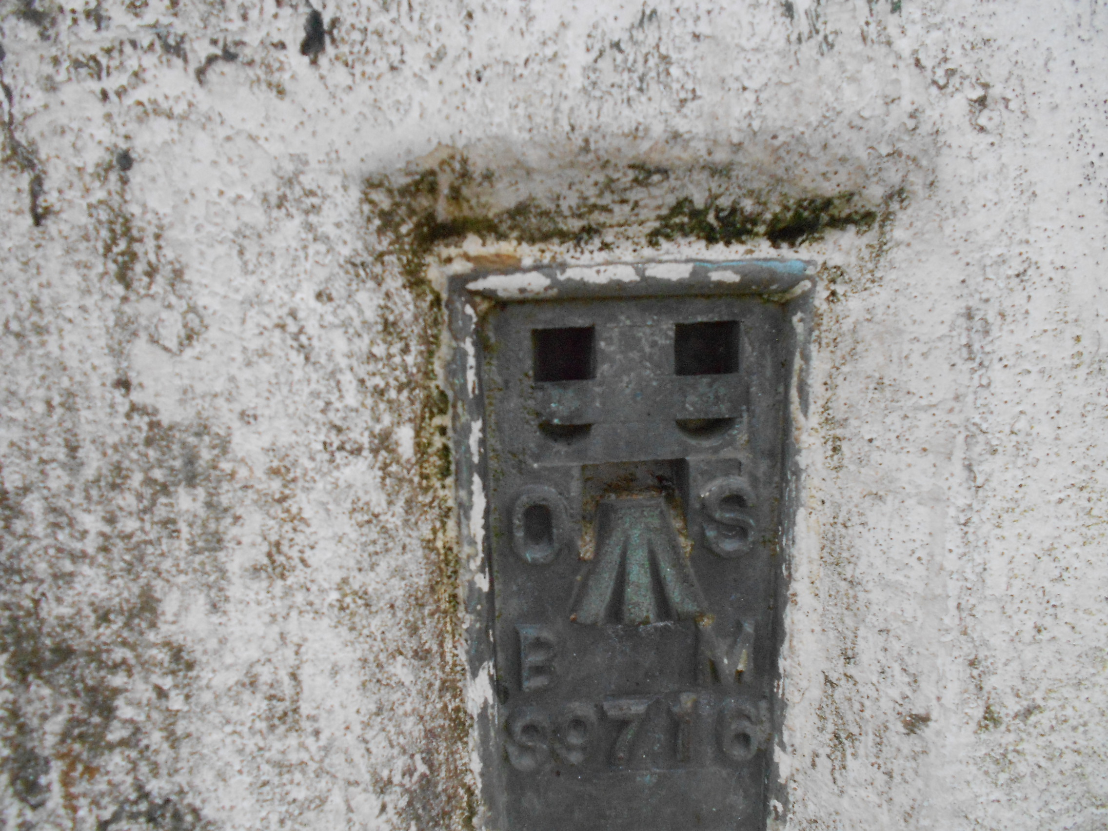
DRUIM na h-EARBA, GM/WS-339, 1pt, 15:58 to 16:36, 15 deg C, 10mph wind. Rain and murk but no low-cloud. WAB: NN07, LOC: IO76KT, Trig point: TP2850. Strong Vodafone mobile phone coverage.
This grassy top has a shallow dip on the side overlooking Loch Linnhe about 25m beyond the trig point. This assessment was made rapidly as I wanted this activation over as soon as possible. It was not only chucking it down but also circumstances had pushed this activation very late into the afternoon.
Reeling out the 80m link dipole over wet tussock in the rain took a bit more effort than on flat grass but I was ready to go on the air within 15 minutes. That included the brolly as a shelter plus a self spot. While trying to provide the latter I was stumped by a notice that the spotting app had been updated and it didn’t work anymore. Now, what had my son told me to do when this happens? After fiddling around for a short while the system functioned as it should. Since 20m had provided eleven easy contacts the day before, that’s where I headed again today. I had no log sheet for this summit so one had to be improvised.
14.052.6CW - 4 QSO’s: Using 50 Watts I called CQ briefly but the self-spot had done its all-important work: In the log inside 5 minutes were: HA7WA Viktor; F8WBN Christian; EA2DT Manuel and EA3BV Jon. Christian came in twice as he can’t have been happy with the first QSO. That’s the thing to do. If in doubt confirm it. I just repeated the QSO and he was happy.
Reports ranged from 599 to 559 but according to my son, who must have been looking at SOTA watch, I was inaudible on the Andorra receiver despite being 599 the day before. He tried a few others but without success.
The Descent:
After a bit of a struggle rolling the dipole up and taking the mast down while holding an umbrella any way I could, it was time to beat a hasty retreat as they say. A simple backtrack of the ascent route took 38 minutes back to the hotel car park at 17:14.
QSO’s:
4 on 20m CW
Ascent & distance: 275m (902ft) / 6.6km (4.1 miles). Hotel start-point 35m ASL.
Times:
From hotel:
Up: 42min. Down: 38min. Summit time: 38min. Gross time: 1hr-58min.
From gate at viewpoint: Up: 18min. Down: 14min.
Observations:
The activation of WS339 felt rather strange. No driving or any great preparation was undertaken. An easy to reach summit even walking from Fort William with the option of driving to the viewpoint at NN 0969 7210 (149m ASL) and taking directly to the path. In that case ascent would be 139m or 456ft with a distance of just 2 x 1.2km or 1.5 miles in total. It was far from pleasant in the rain but I got the exercise sought, being not used to going a day without a walk of some kind.
Unlike when SOTA started in 2002, it’s not that often nowadays that only the bare minimum is achieved but 20m CW got the job done and I am grateful to the four chasers worked. I expected more but a QRZ at the end plus two full-info CQ’s produced nothing further. In this case I wasn’t disappointed. It wasn’t me getting wet that I was most bothered about but all the equipment, which must live to fight another day. Everything is now spread all over the hotel room to dry out. Had the weather been better I would have brought out the handie at the end to call Robin GM7PKT. I reached into the rucksack then thought better of it. It’s not waterproof and a lot of water was coming off the umbrella.
This is a nice summit and one that I would like to revisit in good weather. Meanwhile it’s been tried out so to John M0WIV – thank you very much and I think you’ll enjoy it.
Thanks to the four stations worked and for the SMS spotting service – essential today.
73, John G(M)4YSS
Photos: 1-2-7-9-10-11-12-15-16-18-20-Hotel
(Poor again I’m afraid due to low light and murk)
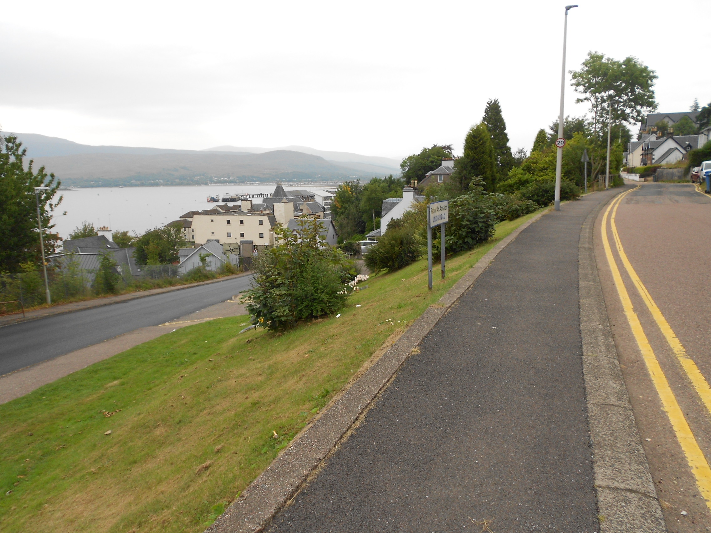
Above: On the way. Union Road, Fort William
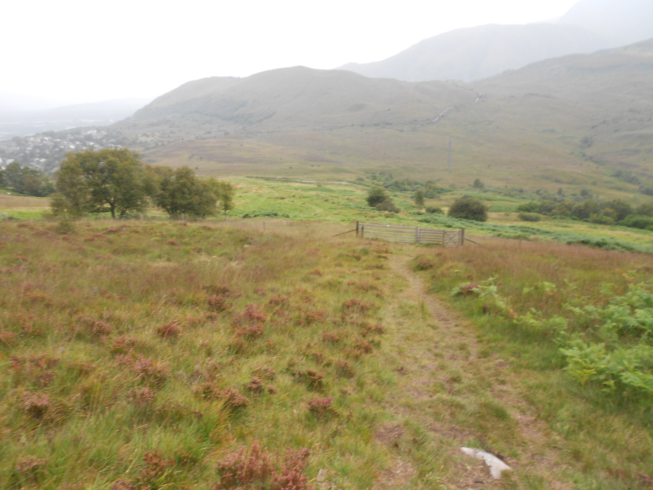
Above: Path up WS339 from the viewpoint
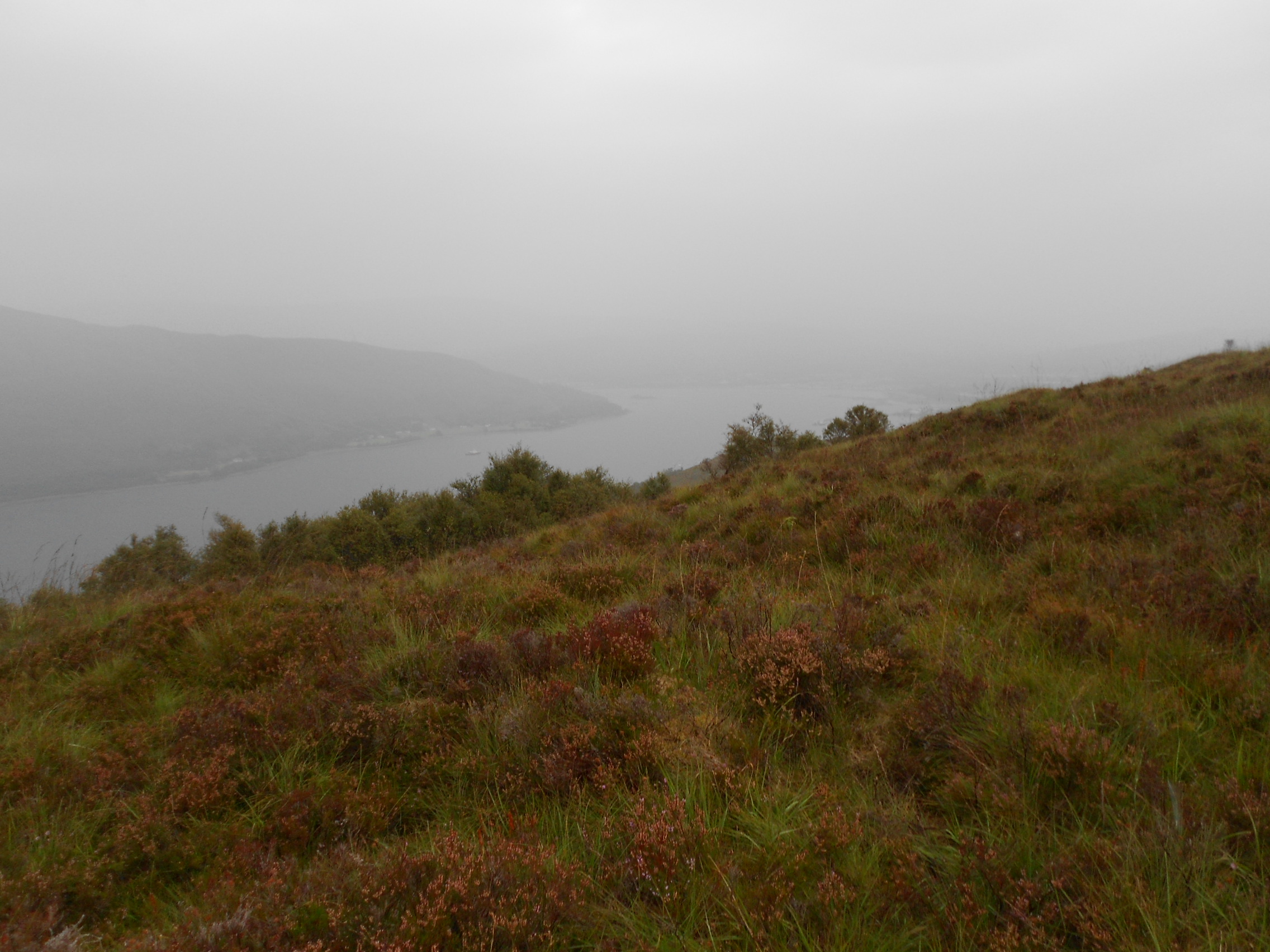
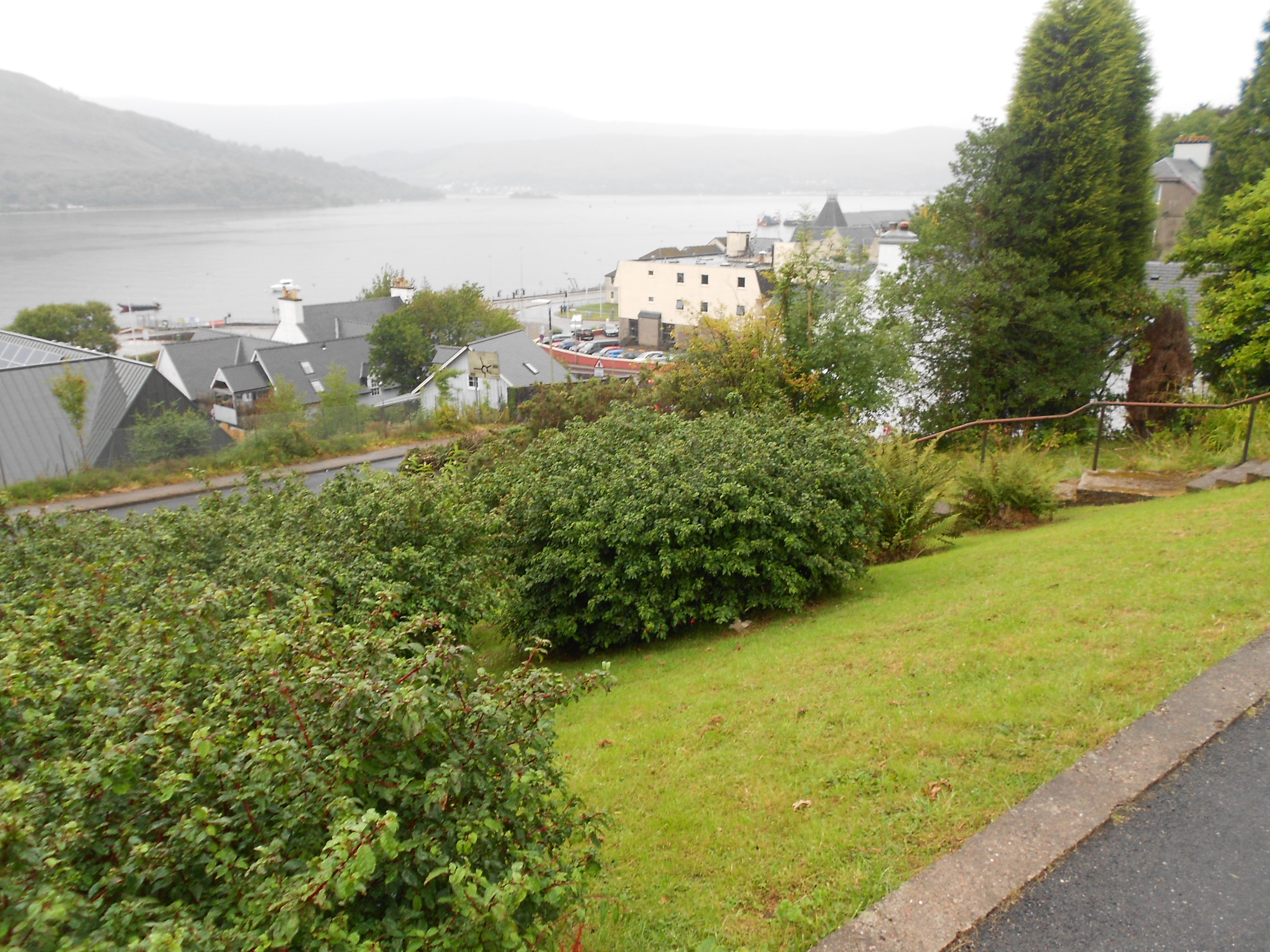
Above: Loch Linnhe through the rain
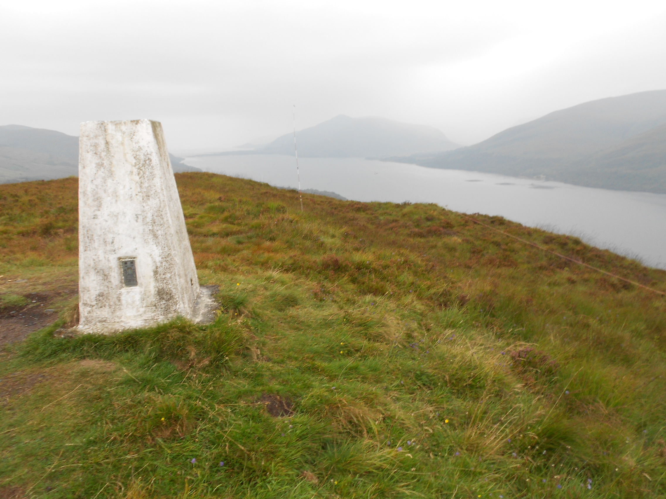
Above: Trig Point TP2850 on GM/WS-339 with HF dipole set up in the dip.
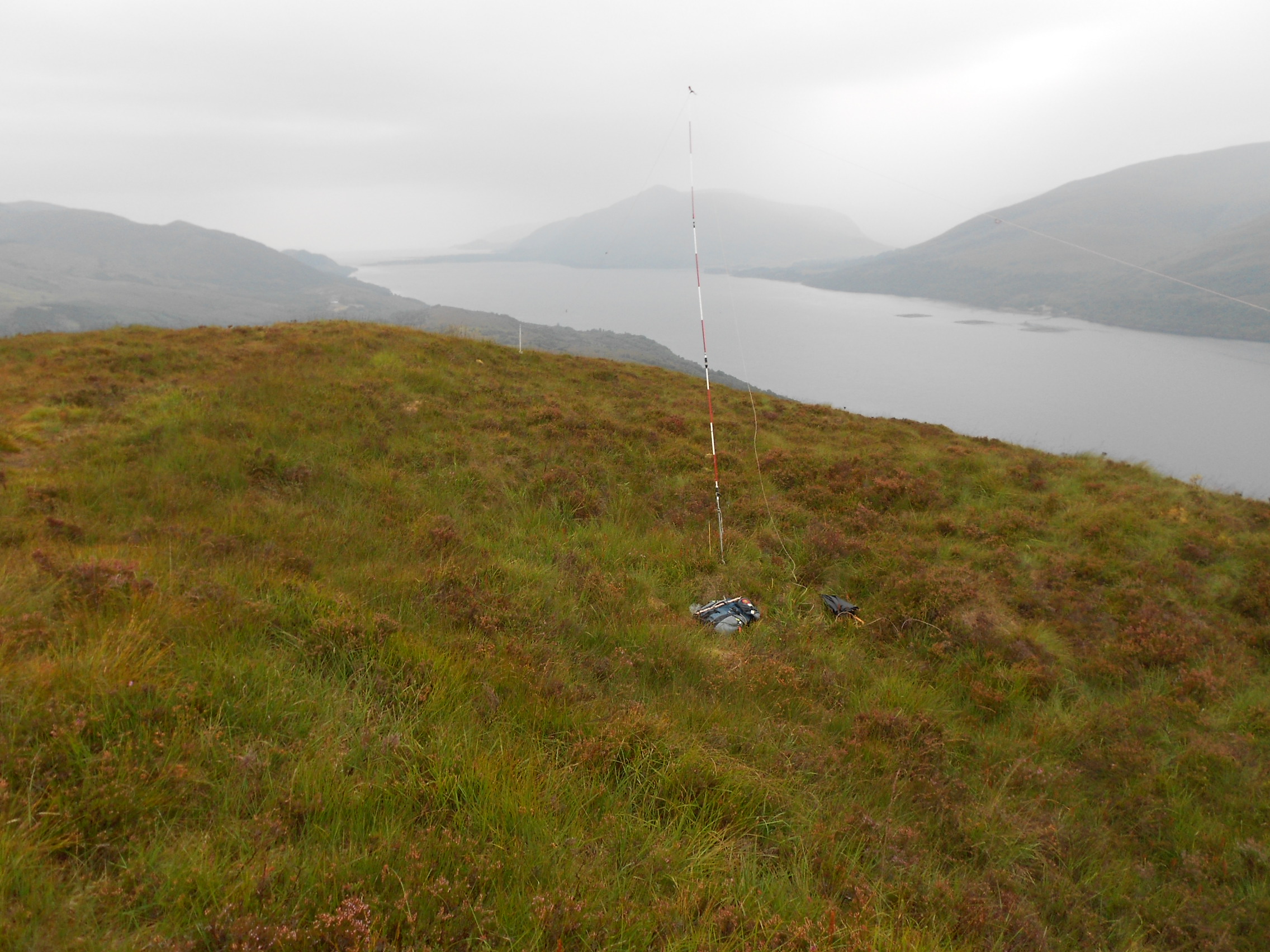
Above: Brief activation of GM/WS-339 on 20m-CW
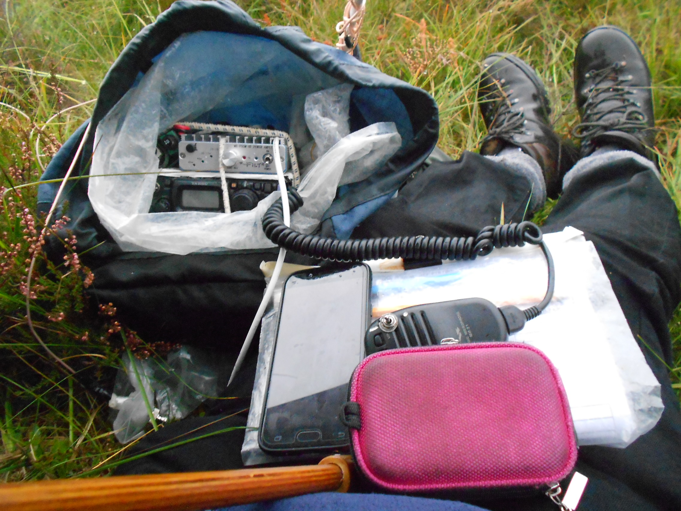
Above: GM/WS-339. Note pink camera case; the XYL’s.

Above: Path down. Fort William in the distance. No good views today!
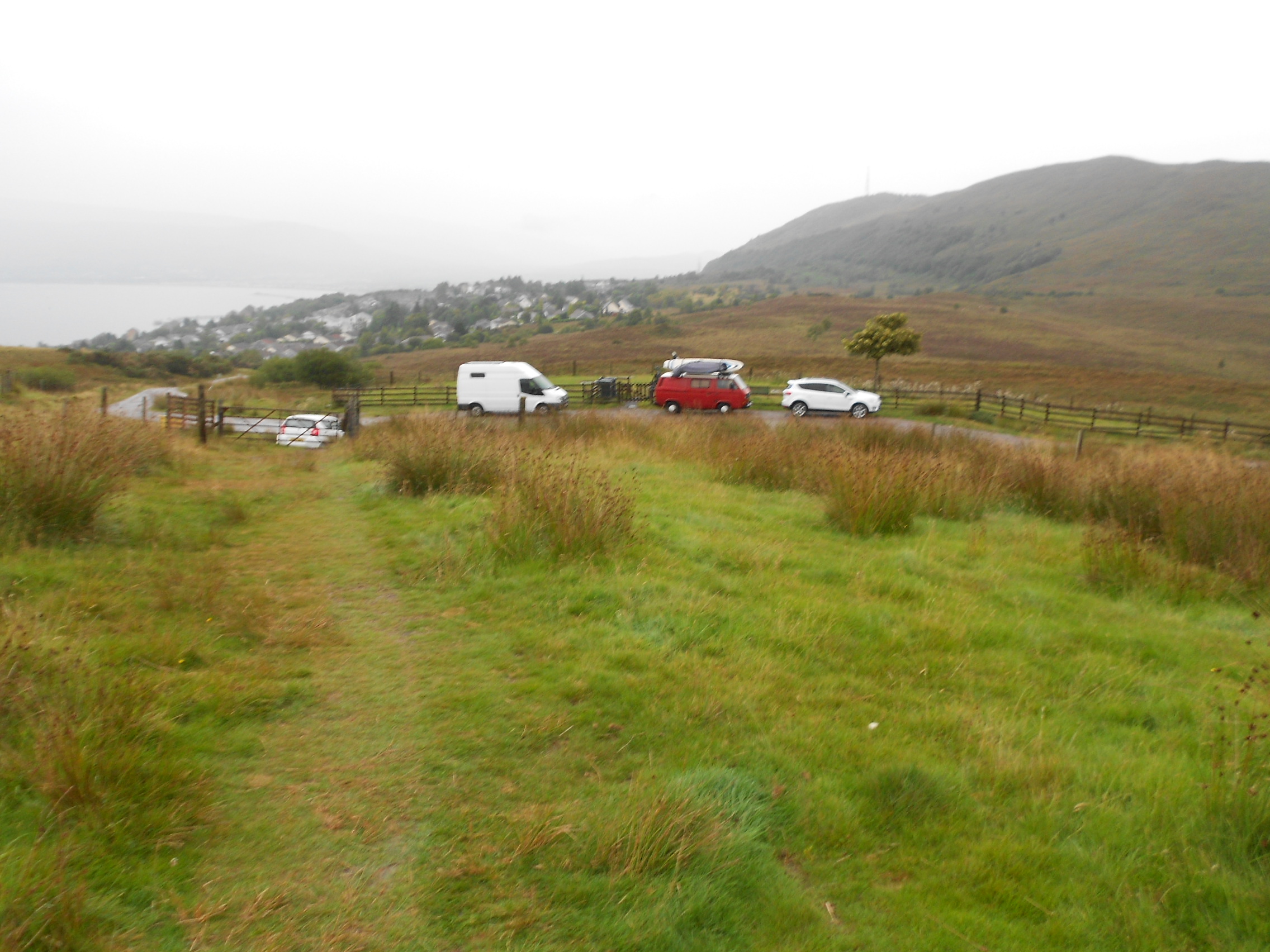
Above: Approaching the road and viewpoint. Space for several cars
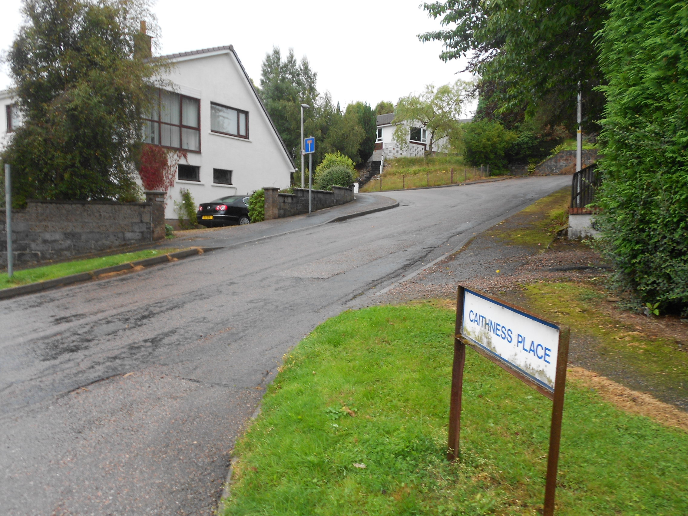
Above: Passing Caithness place where we stayed in 2010. Not far from where we stayed in 1963.
Above: Almost back at the hotel
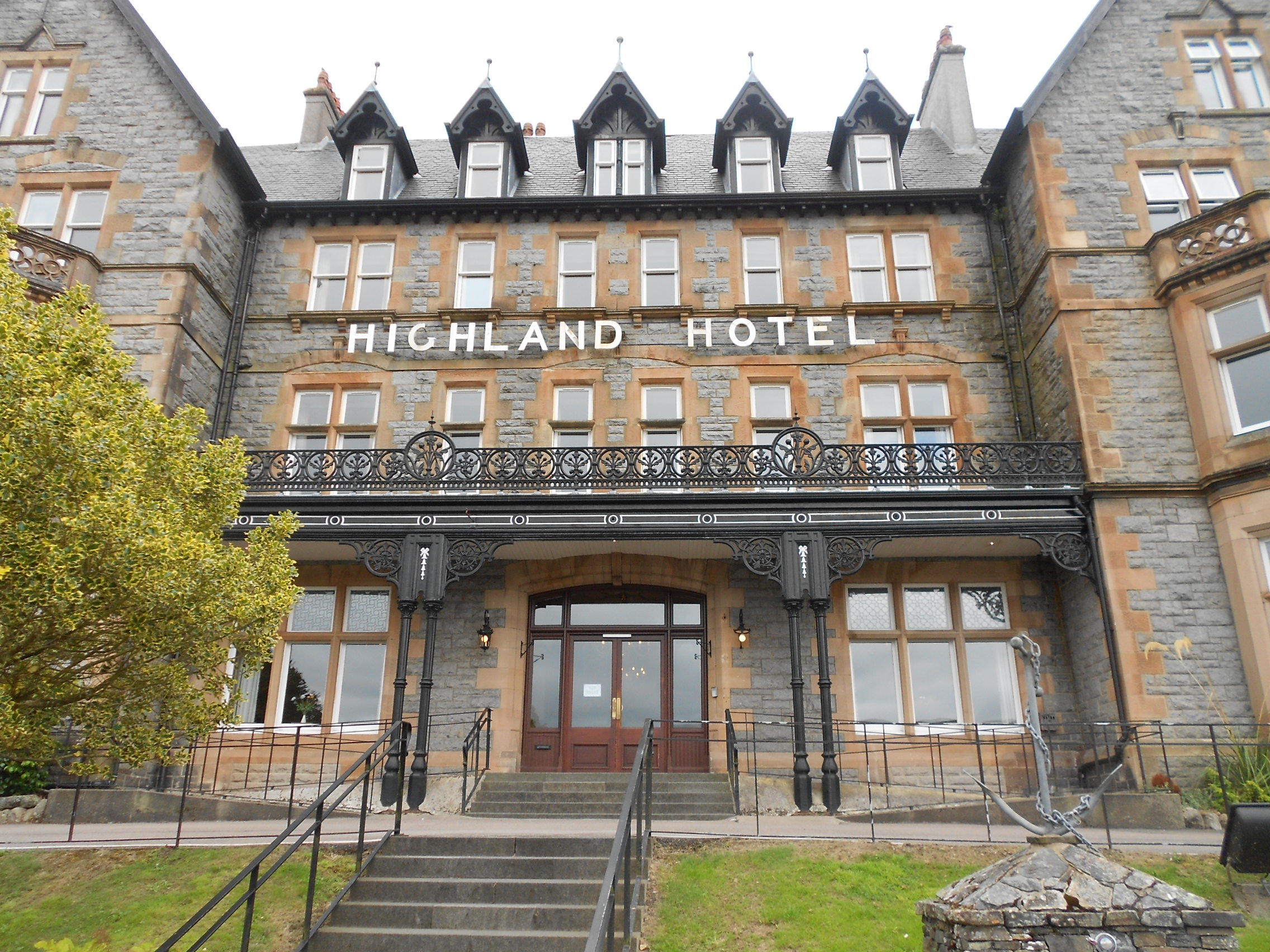
Above: The hotel on a nice day