G4YSS Activation Report for GM/WS-263, 06-09-21
Issue-1 (Errors?)
BEINN na GUCAIG. GM/WS-263 on 40m-SSB QRO
GM4YSS/P Unaccompanied. Limited afternoon activation.
All times BST (UTC plus 1hr, UOS)
RADIO EQUIPMENT:
FT817ND HF/VHF/UHF 5W Transceiver without internal batteries
MX-P50M, 50 Watt HF Linear Amplifier
Link dipole for 80-40-(30)-20m Bands
Four section x 5m home-brew CFC mast with 1m end sticks
Reserve Rig: IC-E90 four band 5W VHF H/H (not used)
J-Pole for 2m-FM (not used)
Batteries:
One 5Ah Li-Po (part discharged)
Garmin GEKO-301 GPS
Pack weight:
9.5kg (21 pounds) inc. 250ml fluids
Introduction:
WS-263 came onto my radar only a month ago. Research showed that it could be accessed from Lavandra at the end of the road that goes south out of Fort William. This is the same road, which was used for my two previous targets, namely WS339 and WS293. Obvious I know but it’s called Lavandra Road because it goes to and stops at Lavandra Farm - NN 0875 6615.
Route and Execution:
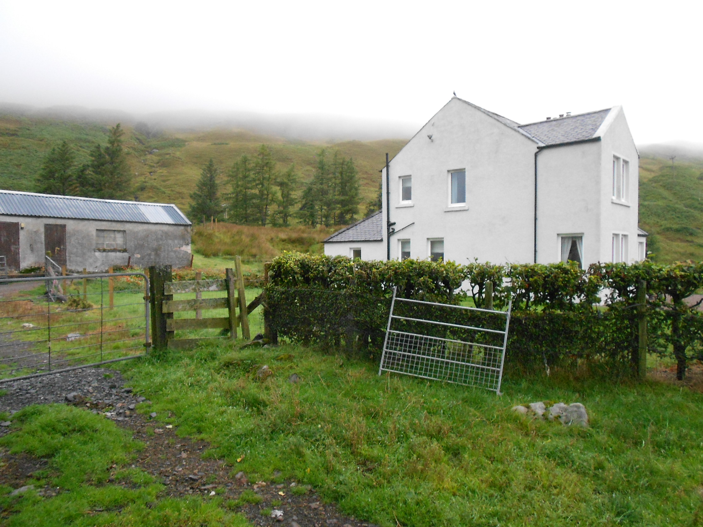
After some concerns about parking gleaned from the Internet, I was able to leave the car on the wide grass verge just before the farm entrance at NN 0884 6628 (174m ASL). Setting out at 14:42, I followed a rudimentary GPS route through the farm and down the track after discovering the correct gate, which is on the left after the house.
The track passes round the farm buildings to their left (SE) side. Initially I went round to the right meeting a dead-end and getting barked at by half a dozen farm dogs locked in two sheep trailers. I wished I’d brought my dog treats instead of leaving them at the hotel. I am nervous in farm yards or in places I feel I shouldn’t be. I had to remind myself that this was not England but Scotland where, within reason, you can go anywhere.
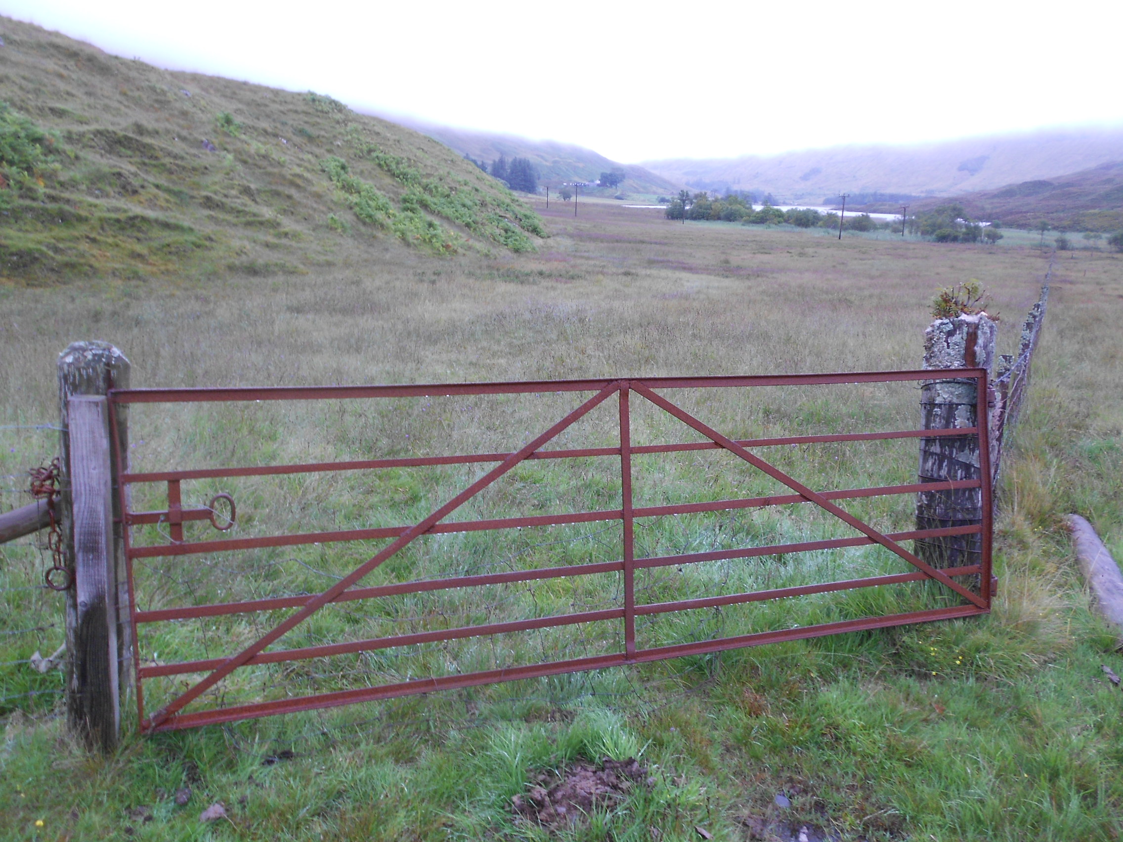
The track goes downhill for a short while before becoming boggy and less well defined, eventually coming up against a barbed wire fence. I’d already been forced to climb one gate but how to get past the latest obstacle was unclear until I spotted a small stile at NN 0838 6595. Continuing along the ever deteriorating and boggy track I eventually came to a rusty gate at NN 0798 6544. It was tied up so it also required climbing.
After this I turned right heading uphill. At NN 07930 65465 there was a path going my way. ‘Bingo’ I thought. This will likely go to the summit. How wrong can you be and somewhere after NN 07731 65582 I lost it or it disappeared. Judging by the amount of sheep wandering about, it was probably theirs. I was forced to pick my way NW up the flank of the hill on rough grazing land with a pounding in my ears going at 150 bpm, until another path appeared at NN 07332 66151. It went via NN 07332 66151 and NN 07207 66274 after which I turned SW to head along the ridge.
With the path lost again I was now on rougher ground. Now there were more tussocks and heather, not to mention the odd green bog. It didn’t matter that I stepped in them as my boots were already well on their way to being waterlogged due to heavy drizzle in low cloud running down my trousers and into my socks. The goretex lining was doing a great job of keeping it in!
Any normal person would have donned waterproofs long before this but it’s well known that I have an aversion to them. Here I was in shirt-sleeves and summer walking trousers with the brolly still strapped to my rucksack. After underestimating this hill, time was a factor too so I bashed on through the rain and fog as quickly as I could which wasn’t that rapid.
Thinking I must be nearly there but with viz down below 100m nothing could be seen of the target and little of the way ahead. At some point I was further demoralised when the GPS told me I still had 1.3km and more than 100m of ascent remaining to the summit.
Soaked, floundering about and almost falling over on the uneven ground I missed out on a path which was only found later on the way down. I would have been able to follow it via NN 07207 66274, NN 06911 65940, NN 06854 65884, NN 06771 65835, NN 06652 65725 and NN 06616 65660 to the summit. I missed most of these points on the ascent, instead going over rough ground in a northerly loop.
Finally after at least two false alarms, the proper summit made its appearance. What a relief! After budgeting an hour, the climb up took 1hr-17 minutes and was quite a lot harder than WS293 had been. Moreover the wind was blowing sheets of heavy drizzle in my face and there was only the trig pillar for shelter. Thankfully it wasn’t cold but I would have to make the most of it and started by removing my shirt, wringing it out and bagging it. Out of the rucksack came the ancient but dry Pertex-lined fleece and I was soon a happier man.
BEINN na GUCAIG, GM/WS-263, 2 pts, 15:59 to 16:47, 14 deg C, 10mph wind, low-cloud and drizzle. WAB-NN06, LOC-IO76JR, Trig point TP1211. Weak Vodafone mobile phone coverage at the summit.
145.500 FM – Nil:
WS263 is a bit more remote that the other two I’d put on in previous days, so in my heart of hearts I knew full well that this was very likely to fail. Nonetheless I had hopes of maybe one contact as a ‘starter for ten’ to get the ball rolling and at least announce I was here in case the phone spotting failed. The right way to do this would have been to use the IC-E90 with 5 Watts to the J-Pole but the temptation of an easy life got the better of me.
Picking up the damp 2 Watt UV-3R Handheld which had been demoted to the wet stones next to the trig when the shirt came off, I called CQ a couple of times to no avail. Oh well, never mind I’ve got HF to fall back on albeit with very little time.
7.163 SSB – 12 QSO’s:
After erecting the dipole, with the mast conveniently in the hollow trig, I tried 80m first but it wasn’t up to much. In my panic about the time, particularly how long it might take me to get down, I opened the links for 40m, but left the linear’s LPF selected to 80. Trying 7.160 first I managed a QSO with Damien M0BKV/M or at least I thought I had. The timings were perfect, a report came back and I was fooled for a short time, even writing him in the log. That’s when I noticed he was talking to someone else entirely and not to me at all.
Crestfallen I moved up 3kHz and self-spotted despite a miniscule phone signal. After a few CQ’s M0HEM called me but that fell through after a minute or two of trying. Next Don G0RQL called and we succeeded with the 59/ 55 exchange, ‘With deep QSB to zero.’ Great, at least someone was hearing me. Then came Allan GW4VPX who was 59 plus but only giving me 33! This was going to take forever!
After I had failed to get back to a call from Manuel EA2DT ‘the lights suddenly came back on’ so to speak. Once the LPF was screwed round to 40m we were away. Manuel was easily worked at 57/ 58 and the band came alive with chasers who had heard me for the first time. Sorry people!
Now we were ‘cooking with gas’ and the job was quickly completed as follows:
DD0VE Ralf 59’s; IK2LEY Fabio 55’s; EA2CKX Pedro 59’s; EA2IF Guru 59’s; F4WBN Christian 59’s; G4WTF Ian 55’s; OM1AX Vlado 55’s; G4OBK Phil in N.Yorks 44/ 33 and EA3EVL Pablo 55/ 51.
Power was 50 Watts and the session took about 13 minutes once we got going. It actually almost stopped raining for part of the activation. There was no more time available for anything else and the station was hurriedly dismantled.
The Descent:
Any path sections found on the ascent had been GPS marked making the descent into a series of GO-TO’s. The first part along the ridge was mainly on a path and I was hoping that this time that I’d find the mid-section. It wasn’t to be and to avoid turning an ankle, progress was kept quite slow. The GPS did its job in taking me through the mist to find paths lower down but cloud base had sunk in the interim. Once over the rusty gate and back on the track, it was just a matter of time to get back.
The journey down took 57 minutes to 17:44 and a 15-minute drive with boots still on, got me back to the hotel by 6pm with 15 minutes to spare.
QSO’s:
12 on 7.163-SSB
Ascent & distance: 475m (1,558ft) / 8km (5mls). Start point 174m ASL.
Times: Up: 77min. Down: 57min. Summit time: 48min. Gross time: 3hr-2min.
Observations:
Beinn na Gucaig was a bit harder than it looked on the map, mainly due to a lack of paths or at least paths that I didn’t find. However in my limited experience, it’s more the rule than the exception that the smaller hills and mountains in GM lack good paths. Because of the gradient on some of the route combined with non-ideal underfoot conditions, climbing up took longer than I thought it would. The flank is steep enough in places that I had to keep stopping ‘to admire the view’ which apart from the immediate surroundings was mostly non-existent.
Exercise was the priority and this provided plenty. After quite a lazy summer yet again, there’s now hopefully a chance of doing something bigger. Scottish SOTA always feels noticeably harder, especially initially so a bit of training doesn’t go amiss. No amount of dog walking on flat ground prepares you for the mountains.
For the third day running, radio was in a poor second place but 7MHz SSB proved to be a good place to get some quick contacts. Concern about the time and some minor stress, provided by the weather, made this a case of more haste, less speed. Nevertheless as my summit times go, this was close to minuscule.
I plan to have a go at a bigger hill tomorrow (Wednesday 8th).
Thanks to all stations worked and for the SMS spotting service.
73, John G(M)4YSS,
Photos: 1-4-7-8-12-13-16-21-22-23-25-30-32-34-36-38-40
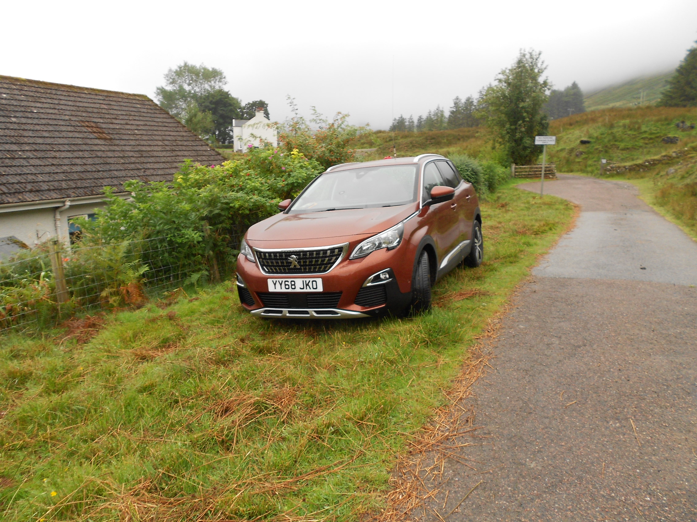
Above: Parked on the grass just short of Lavandra Farm
Above: After the farm the track dips a little
Above: An easily climbed gate
Above: The small stile over the barbed wire fence was not immediately obvious
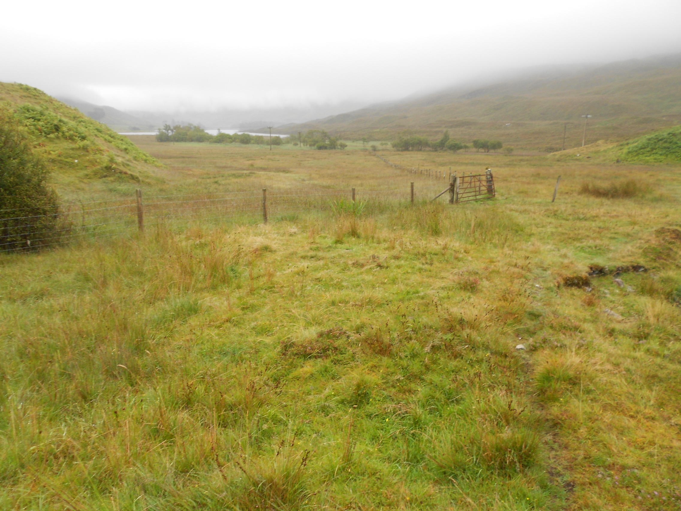
Above: The farm track ends at a rusty gate. Looking back.
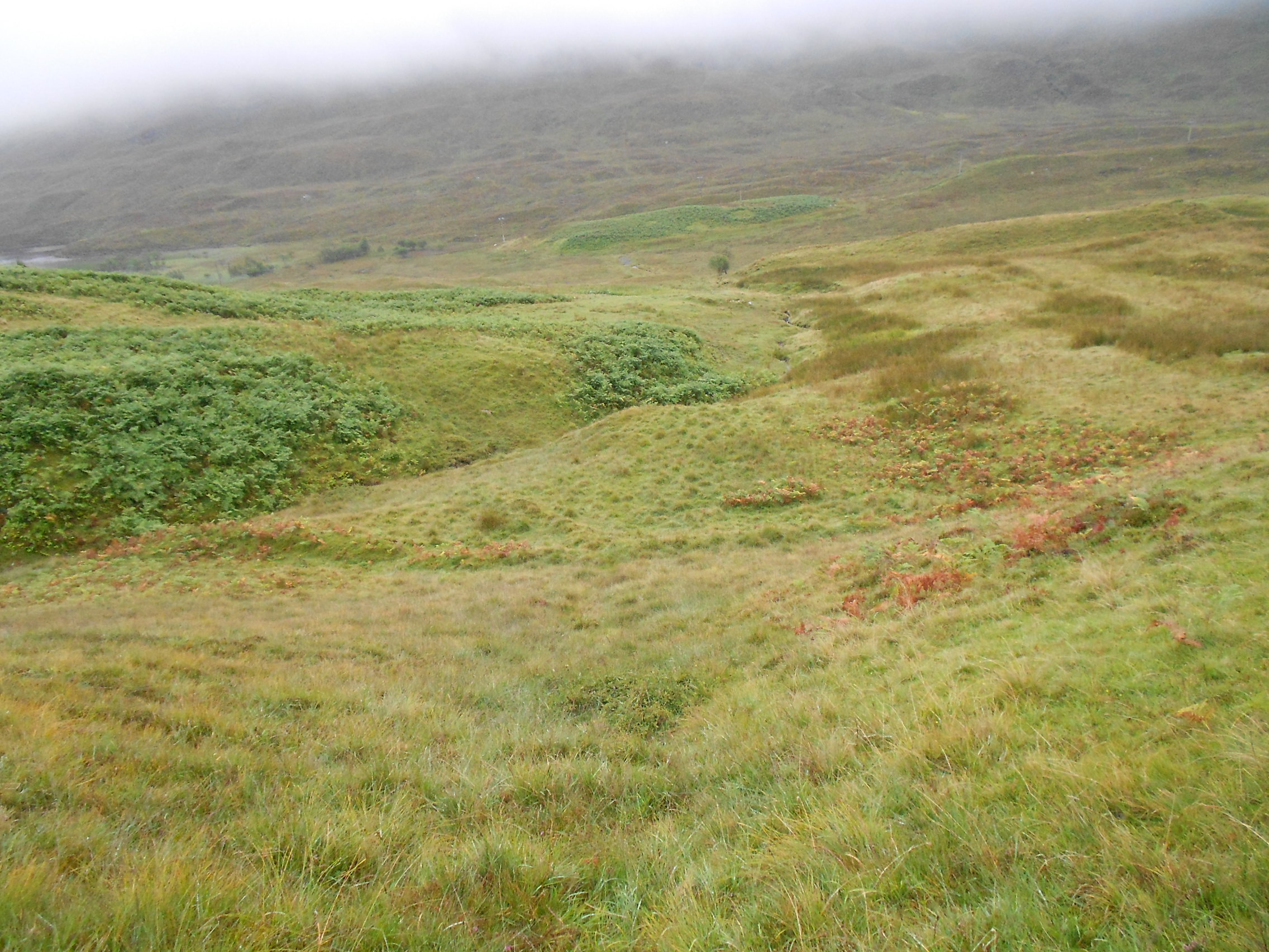
Above: Start heading up here
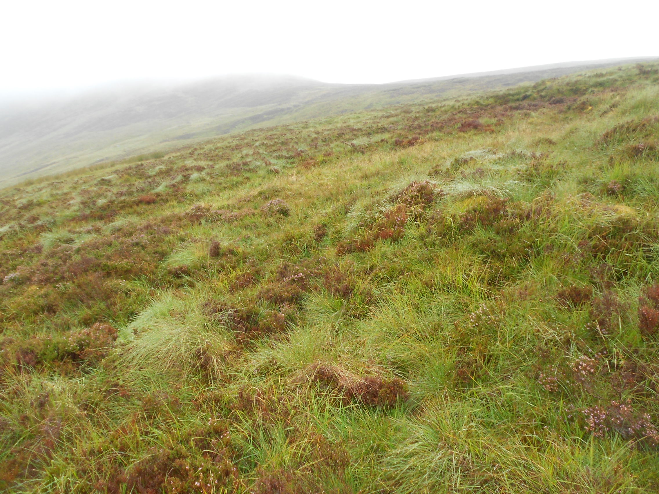
Above: Typical of the terrain higher up. Could be much worse - eg. Peak District.
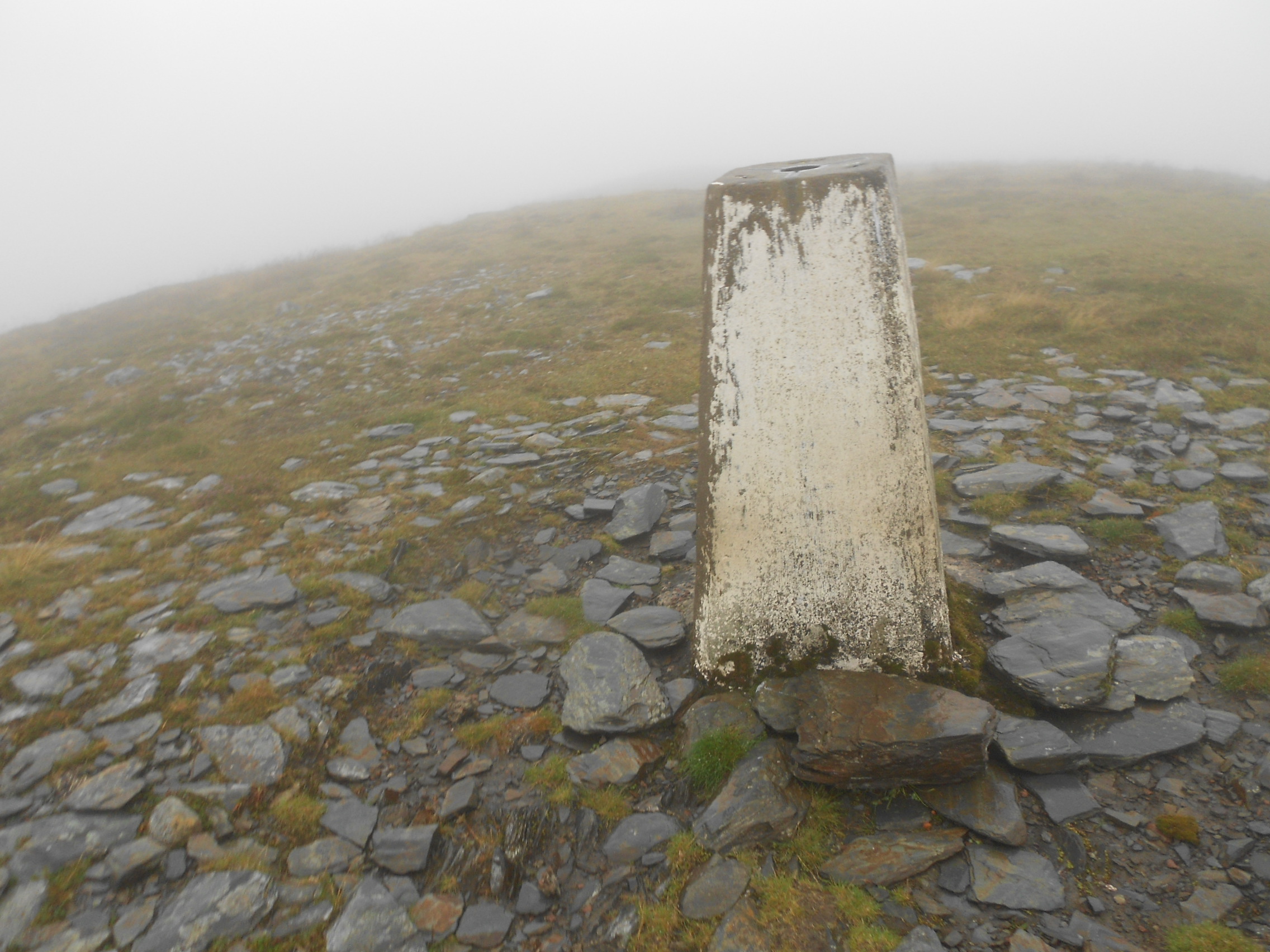
Above: Finally the trig point TP1211 for WAB
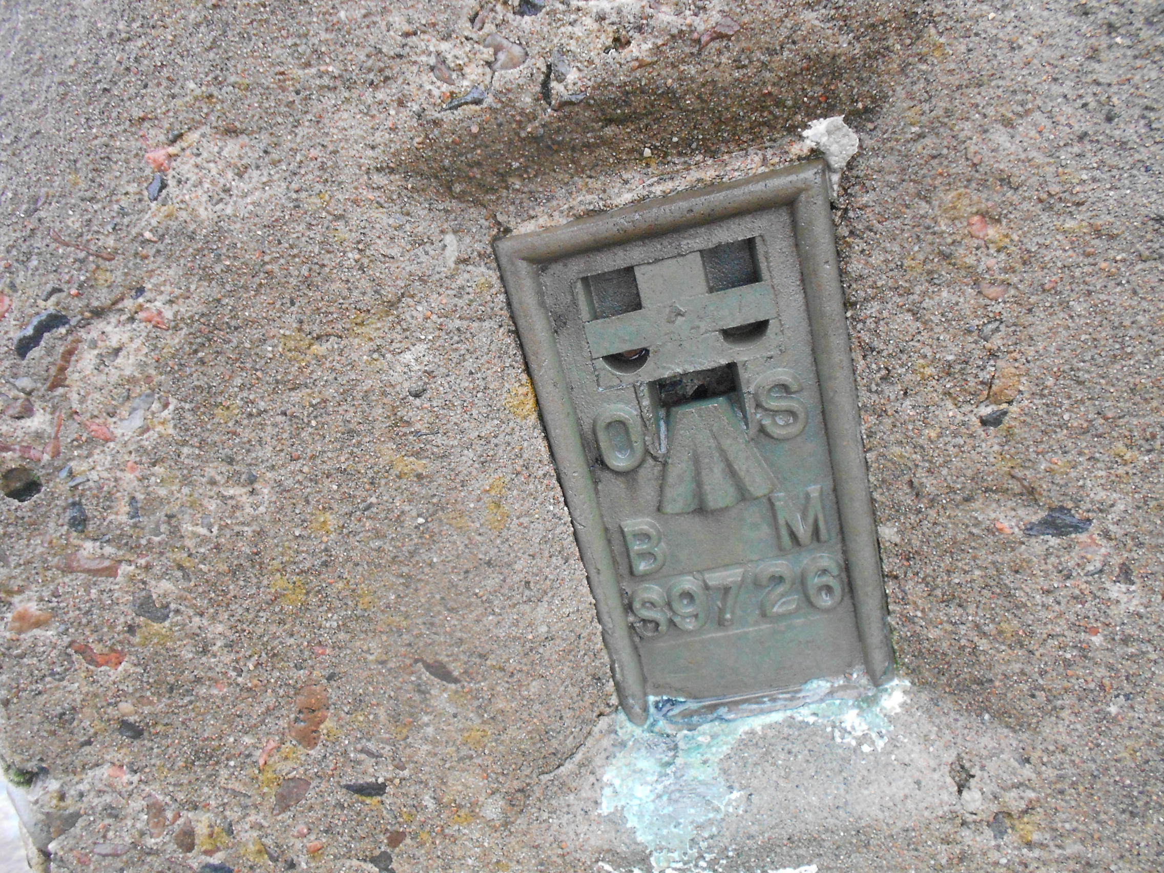
…or ‘S9726’ for OS
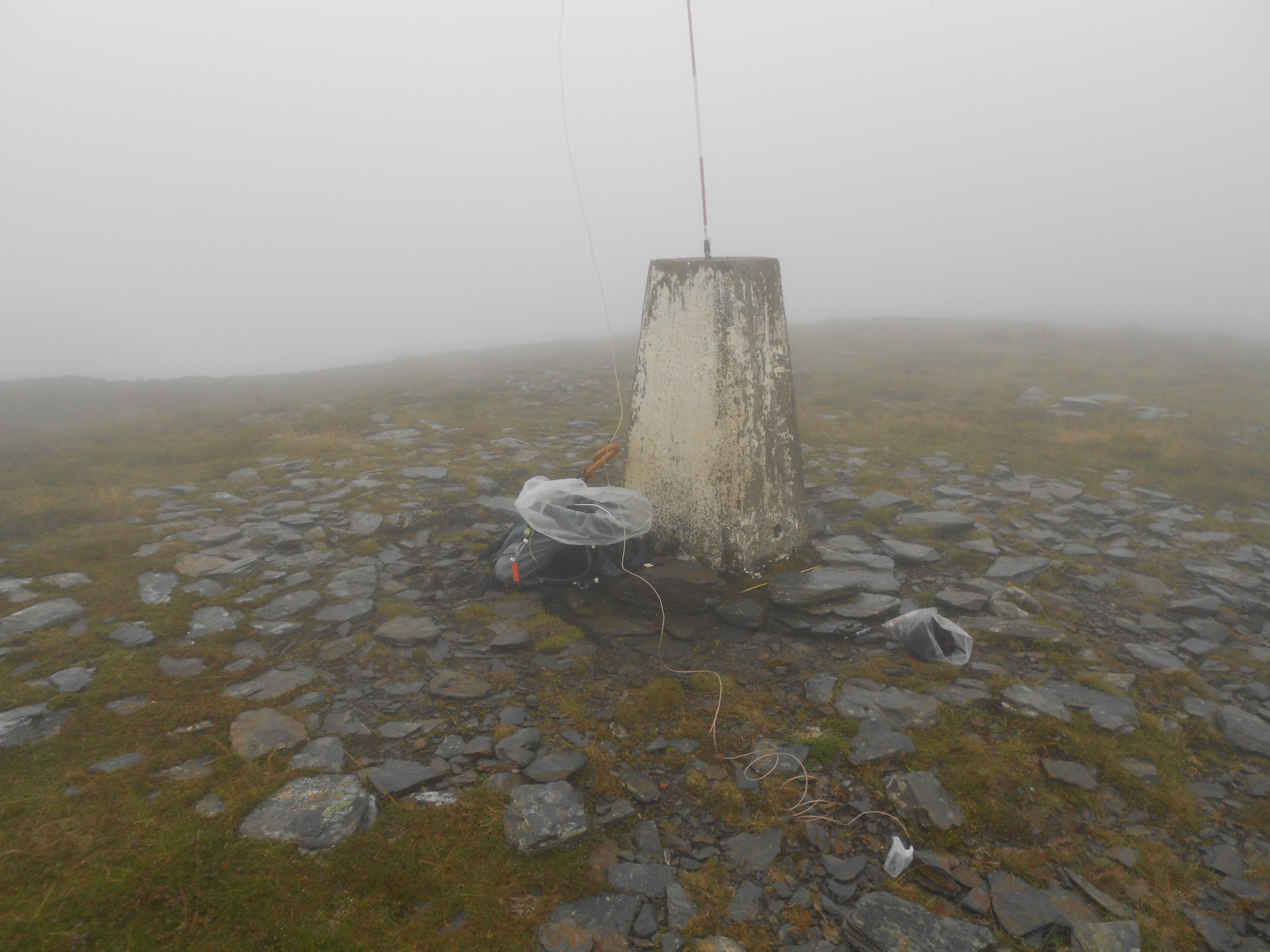
Above: A handy hole to stick the mast in
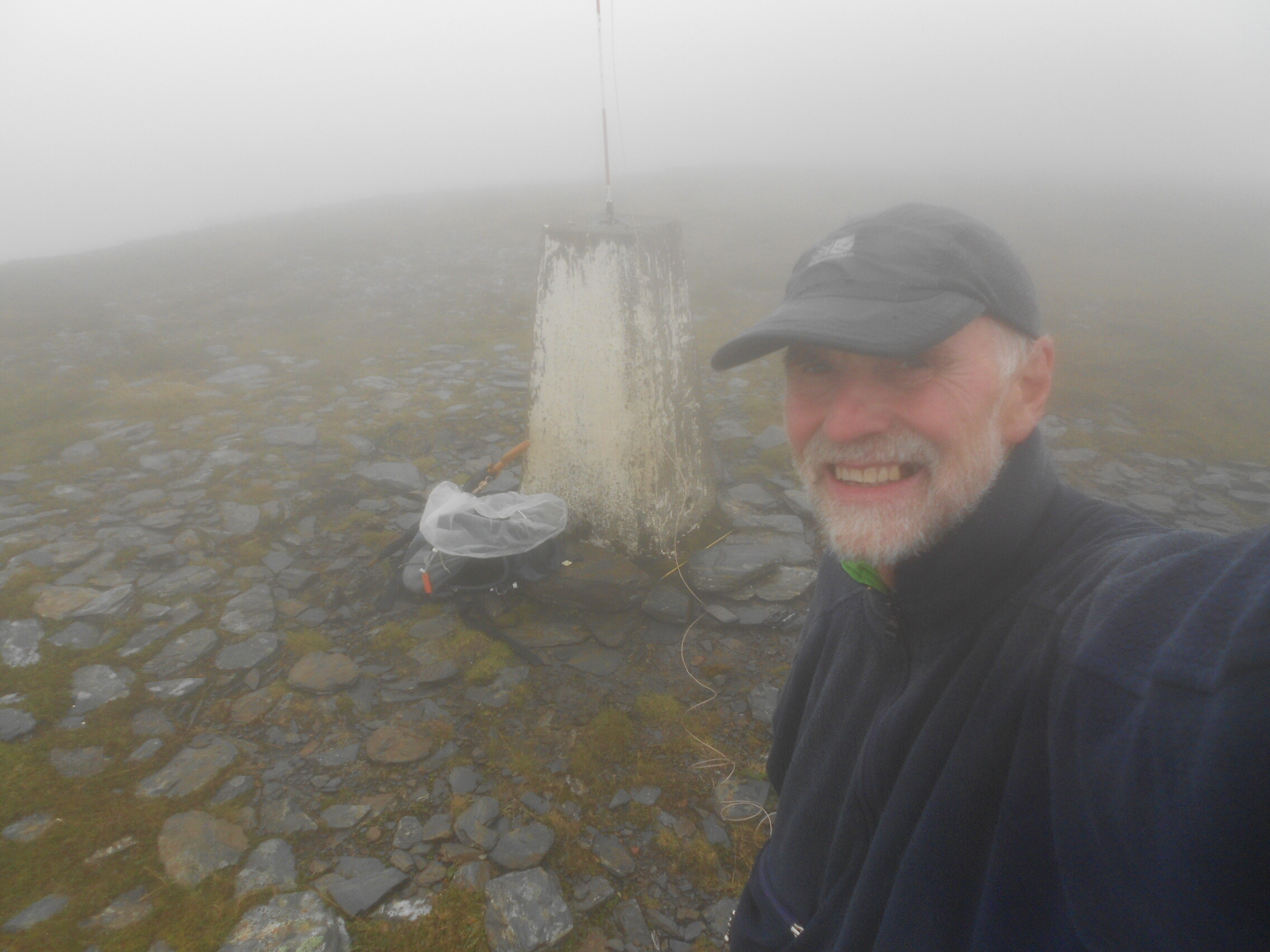
Above: A damp op
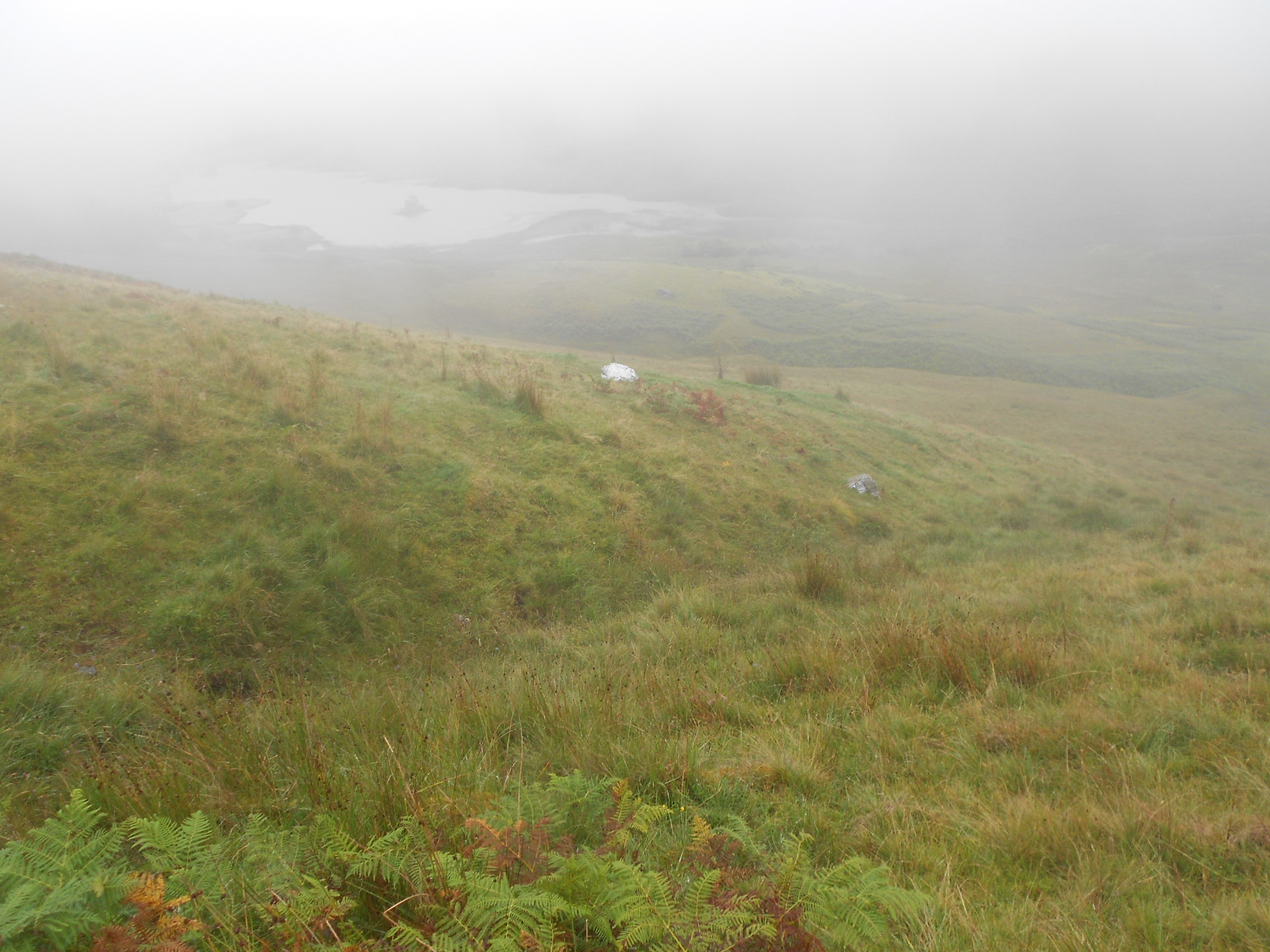
Above: Dropping out of clag on the way down
Above: Back at the rusty gate and plain sailing from now on

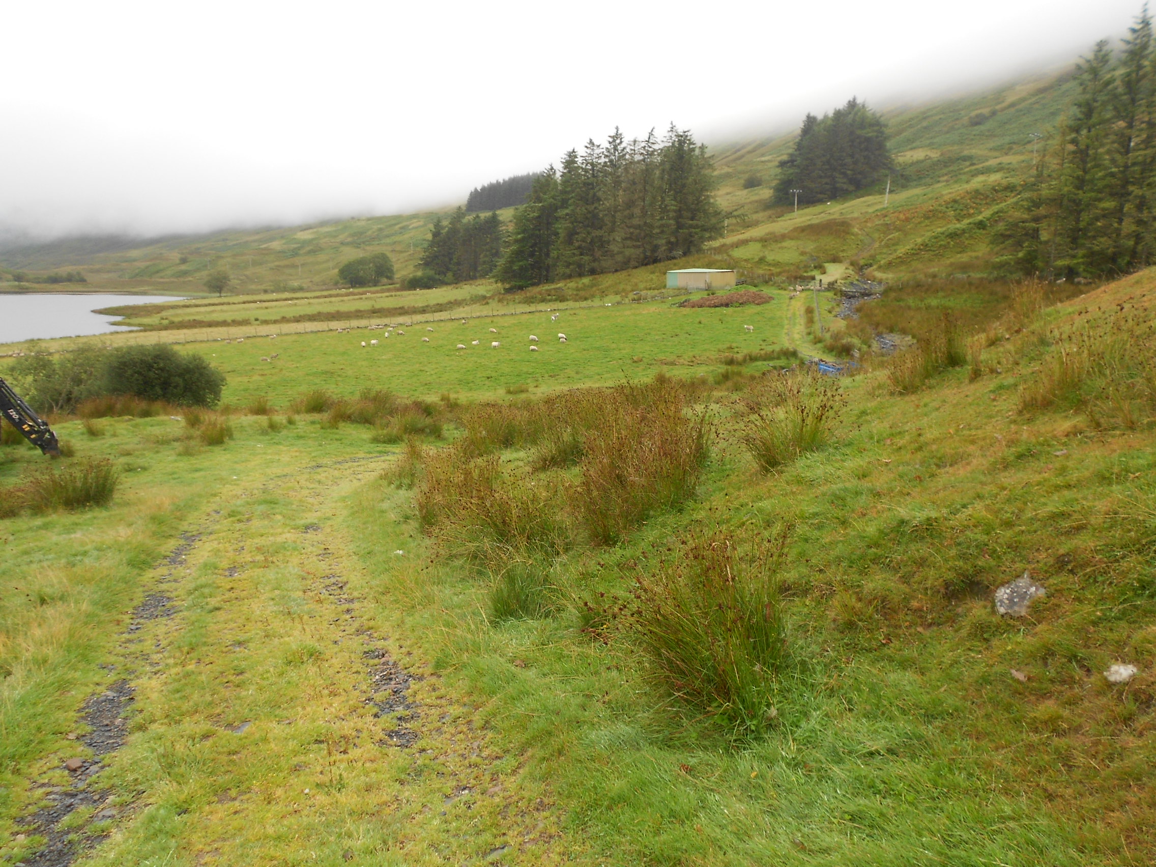
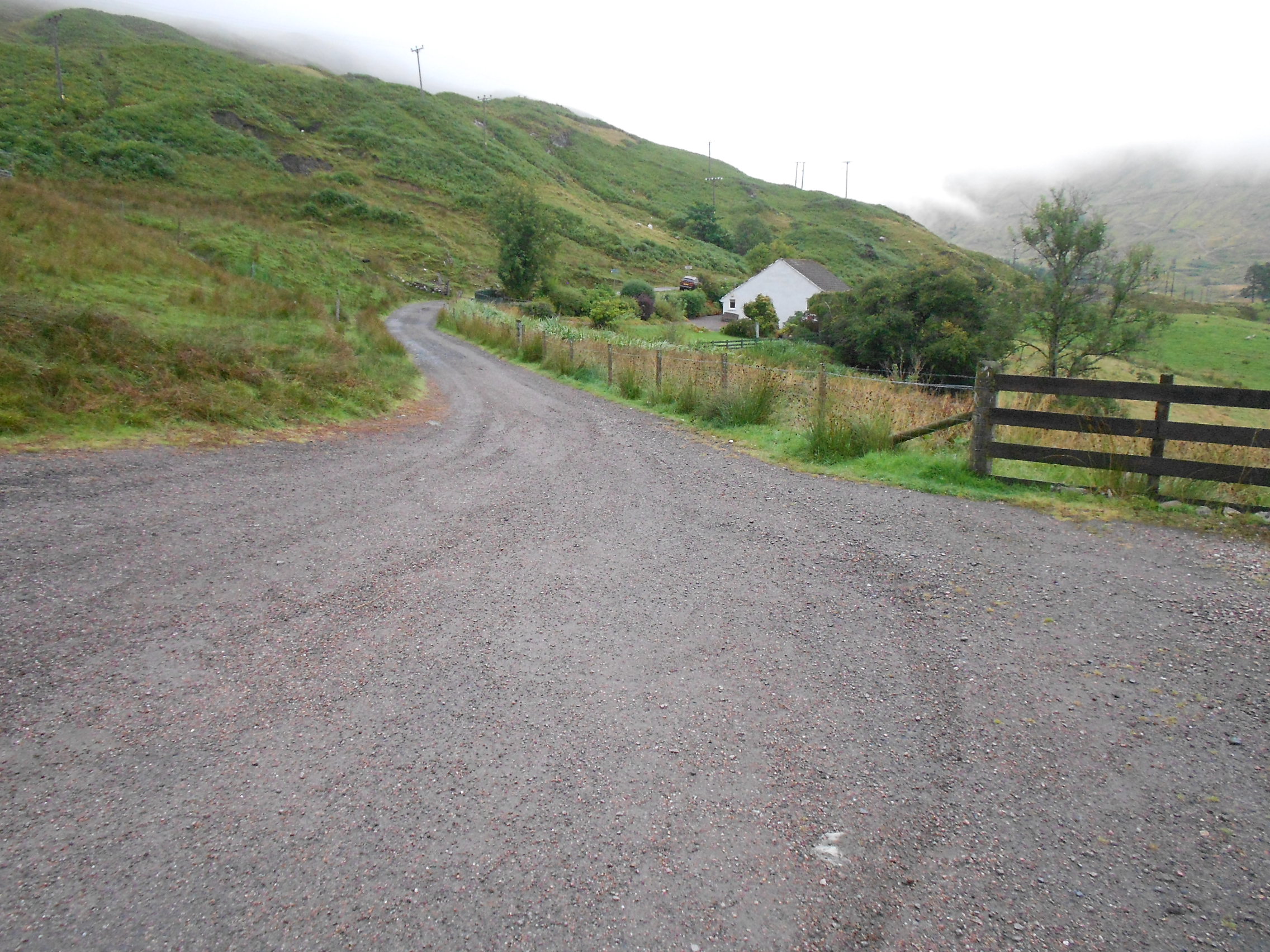
Above: Lochan Lunn Da-Bhra. The track improves the nearer you get to Lavandra
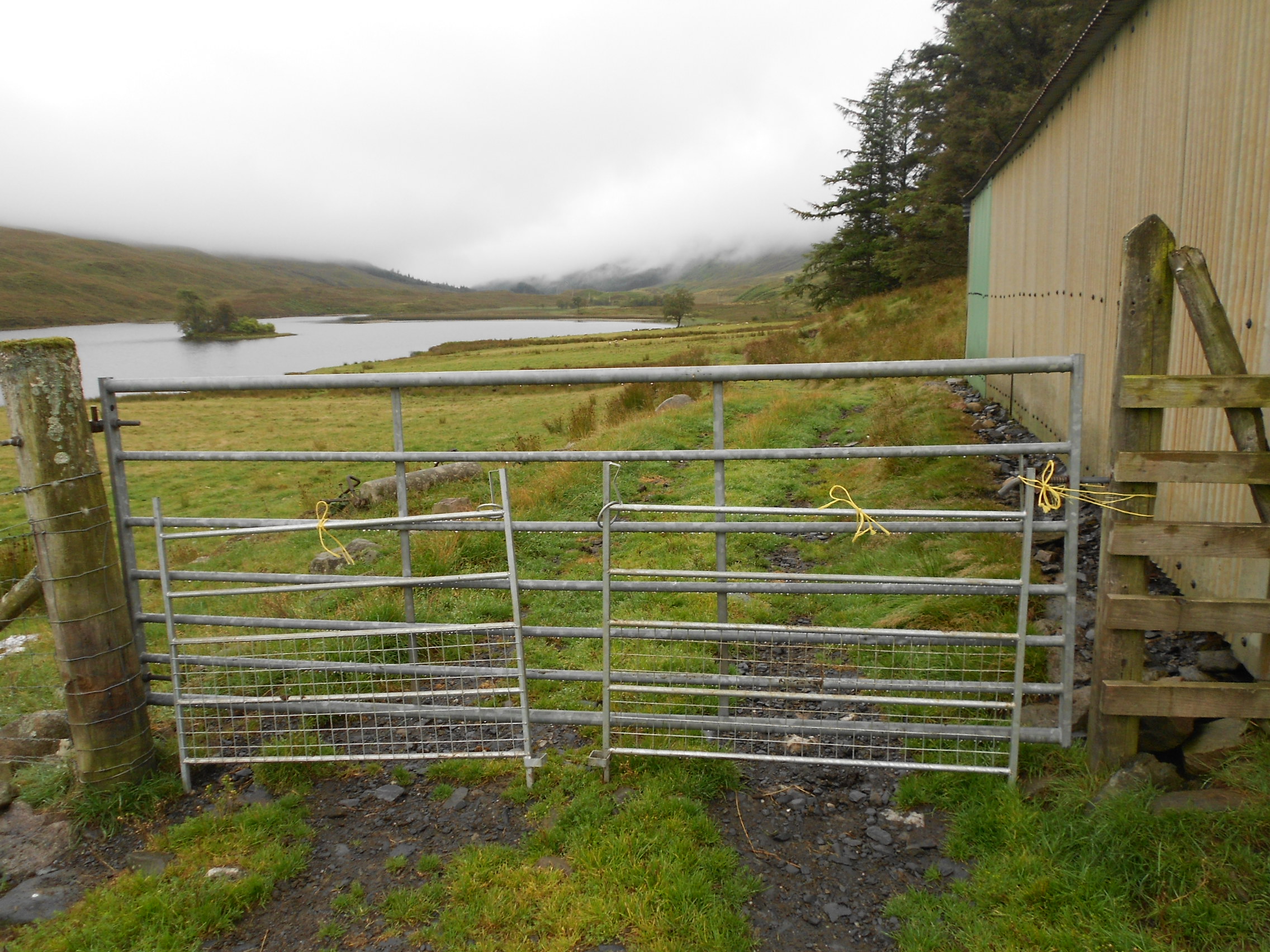
Above: Lavandra
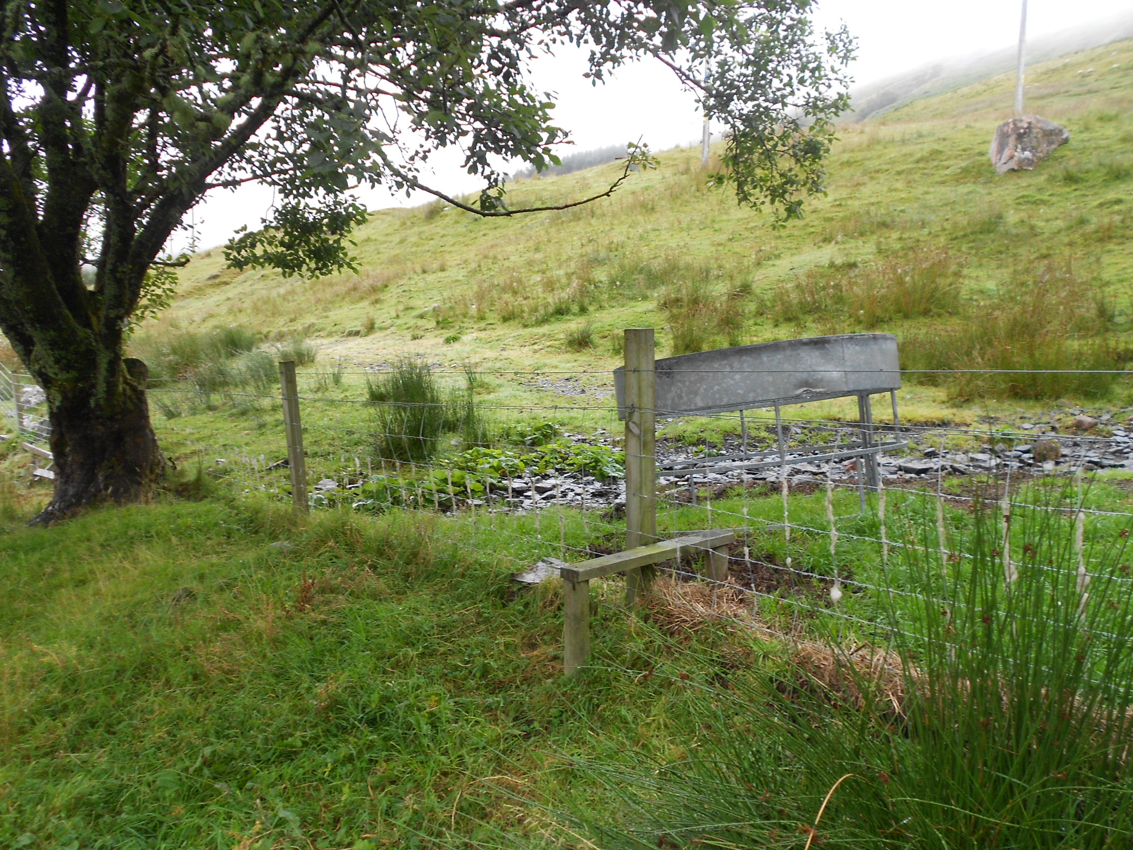
Above: Almost back to the car
