G4YSS: G/SB-001; Cheviot 22-05-21
Issue-2 (callsign corrected)
Please Report Errors
Activation of THE CHEVIOT – G/SB-001
22nd May 2021 using G4YSS
HF - QRO on 80-40-20m. QRP on 2m-FM
All times: BST (UTC plus 1hr, UOS as ‘z’)
This activation was part of a holiday at the Waverley Hotel, Melrose, Borders 17th to 24th May 2021 and was the second of three. The first was Broad Law GM/SS-029 on the 18th and the third Eildon Hill GM/SS-214 on the 23rd. Why four days between activations? Quite a lot of rain is why.
This 7-night break was booked more than 18 months ago, then deferred because of Covid-19 restrictions. On walking into the hotel the manager informed us that we were the first guests after 423 days of closure. Since there were only a handful of people staying, we were given a big 7m x 6m room. Free Wi-Fi covers all rooms – handy for reports etc.
EQUIPMENT:
FT817ND HF/VHF/UHF 5W Transceiver
MX-P50M, 50 Watt HF Linear Amplifier
Link dipole for 80-60-40-30-20m on a 5m CFC/ alloy mast with 1m end-sticks
Home-brew tunable loading coils for 160m (not used)
5 Ah Li-Po battery (fully discharged)
J-Pole for 2m FM
1m Carbon stick to extend 2m mast
Reserves:
IC-E90, 4-band, 5W VHF H/H (not used)
2.2 Ah Li-Po battery (not used)
QRO pack: 9.9kg (22 pounds) including food, umbrella, Primaloft jacket, 0.5 litre drinks.
INTRODUCTION:
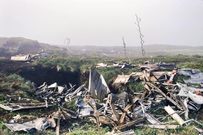
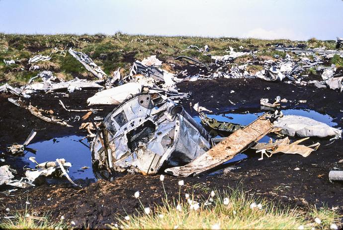
The Cheviot is a familiar place to me. I was first there in 1978 walking up from Sourhope experimental farm via Cairn Hill. Three years later in May 1981 a friend and I went up from Langleeford to overnight at Braydon Crag, where lies a B17 bomber wreck from WW2.
I haven’t climbed Cheviot for SOTA since 2007 but activations took place in 2003 and 2006; the latter a second overnight stay targetting 160m. Despite the required 75 minutes driving each way from the accommodation, Cheviot had been pencilled in as a likely target many months ago.
As is so often the case, the weather forecast was not ideal. I know it can be quite pessimistic but the MWIS forecast was predicting wind-chills of minus 10C with snow showers and near gale winds on the Cheviot hills. The day before was somewhat marred due to anxiety about the weather, which type of expedition to mount and how long to stay.
EXECUTION and ROUTE:
The Harthope Valley route is accepted as the easiest way to tackle Cheviot and also Hedgehope Hill. There’s room to park a handful of cars at the bridge (NT 9533 2250) just short of Langleeford but a short distance away across the road is a flat area for more vehicles.
From Melrose the satnav chose to go via St Boswells, Kelso and Wooler and there were plenty of 20 mph speed limits on the way. Leaving at 06:08 brought me the 43 miles into Harthope Valley by 07:29. There is no charge but a notice here states. ‘No parking beyond this point.’ I also seem to remember passing another notice banning overnight stays.
It was raining and I had belly ache! Slightly demoralised I reached for the key to start the engine and drive straight back to the hotel but decided to give the weather another half hour. In a delicate state, forcing down some sandwiches due to missing the hotel breakfast, wasn’t pleasant and neither was the pint of cold water needed prior to the exertion.
The occupants of the car next door arrived back. They had set off on the Hedgehope/ Cheviot round just before I arrived but were forced to turn back after the man injured his ankle. Another bad thing to add.
After a while the rain eased back to a light drizzle and following some fresh air obtained whilst walking a short distance up and down the road, I began to feel a slightly better. By 08:18 I’d been dithering long enough ‘go - no go’ so the walk began. I gave myself the option of turning back but this seemed like hard work and not without its misgivings.
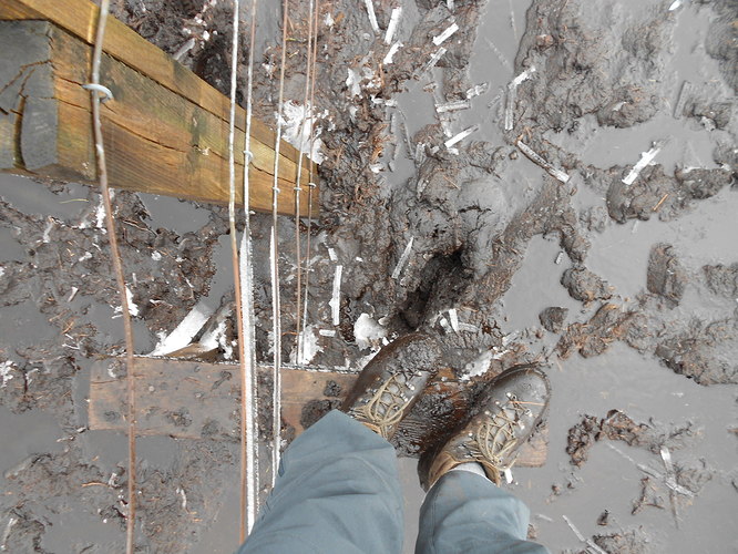
The path to Scald Hill felt longer than I remember and just after that lies the disgusting sump full of grimy filth that once was a path. The tedious detours were to make my track log look like a varicose vein and I know first hand what they look like. In two places the fence was needed as an aid to progress and to avoid sinking above the ankles. I can think of more hills with this kind of problem so it was a case of plod on regardless.
With the wind in my right ear and the gradient hurting my legs, there was the old familiar feeling of, ‘Why on earth do I do this?’ But that’s SOTA for you. It’s very much a ‘no gain without pain’ pastime.
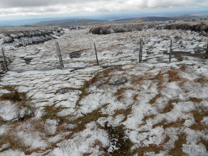
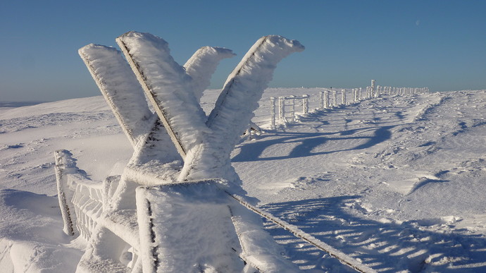
After the boot-sucking mud, the steep bit. Plod pant, plod, stop, pant. The wind increased but at least the rain which had developed into drizzle decided to go away completely. Up here the fence wires were shedding ice in the wind and the first signs of snow became evident on the windward sides of tussocks and peat mounds.
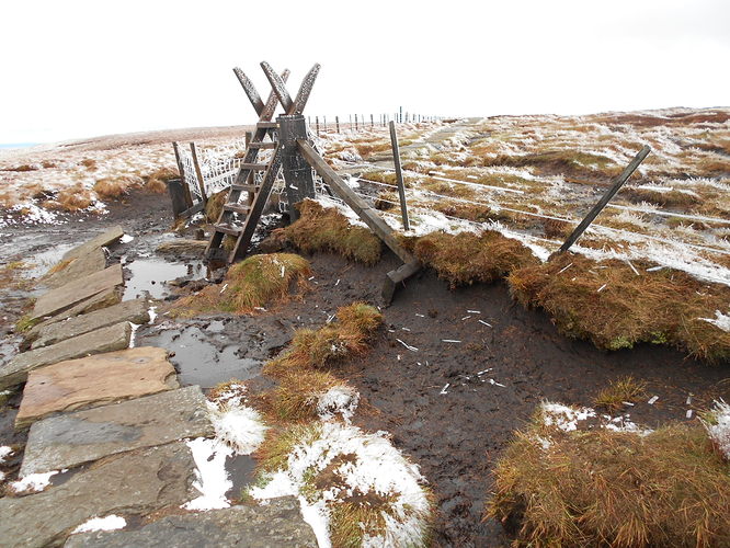
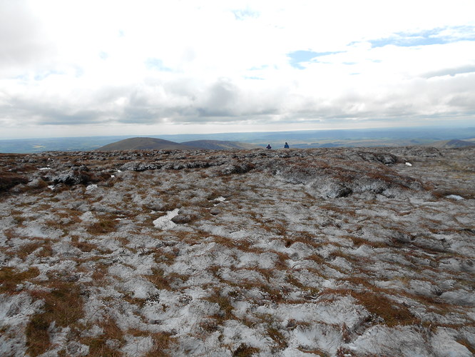
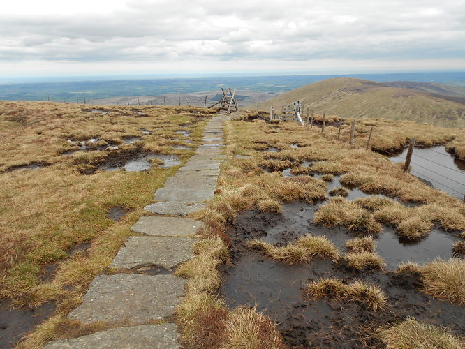
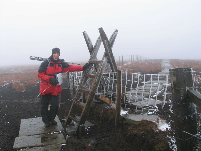
Eventually that gratifying sight – the ladder stile. What a relief; no more ascent, just a walk along a paved way to the trig point but into a cold head wind. Today it was a walk through lightly snow-dusted scenery; something not expected this far into May. Thank goodness for that solid Pennine Way path along the top which only appeared around 30 years ago. Before that it was very slow progress through one of the biggest bog fests in the north of England.
Route & Waypoints:
From the parking place at NT 9533 2250, walk 240m SW along the road to the start of a well defined footpath at NT 9517 2233. Here a wooden sign announces ‘Scald Hill – 1.5 miles’ There are stiles at NT 9459 2228, NT 9405 2223 and NT 9281 2180 along with a ladder over the wire fence at NT 9141 2068. The raised trig is at NT 9090 2053.
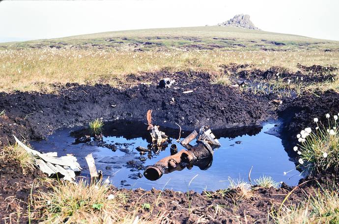
The Braydon Crag B17 wreckage lies at NT 8944 2125 some 2km beyond the summit. Last seen in 2006, it wasn’t on the agenda today. The Vickers Warwick is scattered around NT 8989 1955 on Cairn Hill but I haven’t seen that for well over 40 years. (See additional photos).
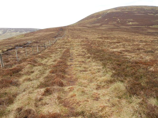
I only found this out from David G0EVV during the 2m-FM activation but the gloop between Scald Hill and the final ascent to SB1 can be avoided simply by crossing the fence left to right and walking along its NW side from around NT 9333 2216 to approx NT 9234 2124 where the final steep section begins. Before and after this, the main path at the south side of the fence is preferable. I took David’s advice on the descent and thanks to him, saved myself a whole lot of grief, time and energy! This alternative offering is actually a quad track, presumably used in connection with grouse shooting and land management.
Setting Up:
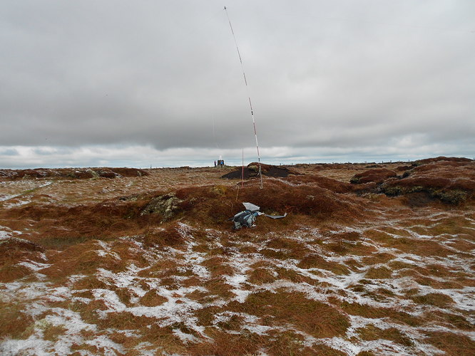
The first job was to find a place with some shelter from the cold north-westerly wind and that was achieved by climbing the small stile south of the trig and hiding behind some grassy peat mounds at NT 90965 20478. This was not as easy as it looked due to generally waterlogged ground and peat bog surrounding the stile but considering the time I was planning to be there, it was certainly worth the effort.
Squelching my way around, I fitted the dipole mostly on flat grass between mounds. We were now ‘ready for the off’ but I had to remember that The Cheviot is in England and to drop the ‘M’ from my callsign. Something achieved on the air but temporarily overlooked as a leftover from G/SS-029 on my phone spots page. Thanks must go to Phil G4OBK for clarifying this oversight for potential chasers, with a correcting spot.
THE CHEVIOT G/SB-001, 815m, 8pts, 09:57 to 14:30. 2C, rising to 7C. 20 mph breeze decreasing to 10mph. Sunny intervals for the first 2 hours then overcast. No precipitation but a thin dusting of lying snow at first. Barely adequate Vodafone signal. LOC: IO85WL, WAB: NT92, Trig: TP2152. This activation was not alerted.
3.760 SSB (WAB frequency) - 6 QSO’s:
It’s always good when freezing in the middle of nowhere that you hear a familiar voice. Today it was that of Brian G0BFJ. Unfortunately he was barely hearing me but the station he was chatting to, in the form of GW4XHG David, was having better luck. We exchanged at 59/ 57 and after a short while with Brian too at 59/ 44.
After the difficulty of working Brian, I checked with David that the amp was working by switching it off and back on. He reported a ‘9dB difference’ in the signal which was a relief. The output transistor in this MX-P50M, which apparently has no VSWR shutdown, blew once before and I had to replace it.
Four more stations called in as follows: 2E0FEH Karl – 44/ 44; G0BPK Nigel; M0DXT Bill and M0NMI David 59/ 33. Three stations were put through to me in true WAB net fashion but one was worked directly. Output was 30 Watts (2.5W in from the FT817ND). Thanks to WAB the hill was now qualified. Many thanks!
I hadn’t expected to work Karl in Cornwall on 80m at half past ten in the morning but something I’ve noticed about him over the years - he seems to have consistently excellent ears. The other stations were primarily chasing my WAB square and trig point but when I mentioned The Cheviot, Nigel told me that he was a Pennine Way Completist and had passed this trig point some decades ago. He mentioned it’s surroundings, namely the sea of oozing black mud, which is how I remember it from way back.
7.032 CW - 17 QSO’s:
After quite a lot of CQ’ing on here I received a reply from GW0WII who was much too fast for me. I did manage to scribble down ‘Joe’ however so at least I could call him by name. I don’t think he was a SOTA or WAB collector as he seemed quite chatty.
Further efforts were unrewarded so turning to the phone I put on a spot which ‘took’ after a minute or so. Thereafter I was kept quite busy as follows: F4WBN Christian; DG1NPM Norbert; DK1WI Ed; G4OIG Gerald - who’d failed to QSO with me on Tuesday’s activation; G4OBK Phil - weaker than normal due to being too close; GW4VPX Allan; ON7GO Philippe; G4YBU Tim; DL1FU Frid; DJ5AV Mike; HB9BIN/P Juerg (not an S2S but where?); DL6WT Juerg; EA2DT Manuel; G4WSB Bill; M6GYU/P Dave (S2S on NP19) and G4TPJ in Tonbridge.
The QSO with Juerg HB9BIN/P (559 both ways) seemed to take the form of a SOTA S2S but amongst the clicks, pops, QRM and QSB I failed to confirm it after only receiving the report and ‘044.’ Perhaps this was a Flora & Fauna reference? Very likely I think. All subsequent evidence points to this not being SOTA two-way.
David M6GYU/P (Scarborough Am. Radio Soc. member) was shivering on Yarlside in the Howgills G/NP-019 and I noticed he later put on NP13 plus NP18 the day after. He would likely be colder than I was. Yarlside has nowhere to shelter from the wind but maybe he deployed his tarp?
Power was 30W again and the QSB-affected session spanned 36 minutes. There was one ‘gotaway’ in the form of PA7RA, though I tried my best. Reports were in the range 539 to 599 with a 339 from Frid and 449/ 339 exchange with Dave M6GYU/P on NP19.
7.190 SSB - 21 QSO’s:
Again with 30 Watts and a CQ, I worked MM0INH/P Dale (QRP) at 10:46z. He was not on a SOTA but apparently on a hill somewhere ‘west of the Lammermuir Hills’ and ‘east of Edinburgh.’ That’s the extent of what I could decipher. Being line-of-sight there was no QSB on this signal but it was very weak. The exchange was 55 but that was ill considered on my part. 33 would have been more accurate. Dale’s home QTH is Haddington so maybe he’d gone to a high spot nearby to play noise-free radio?
Following the QSO with Dale a self spot quickly brought in another 20 stations starting with Karl 2E0FEH and afterwards Ken G0FEX who was recovering from an injured hip caused by, of all things, falling out of bed. They tell me that most accidents occur in the home and from my own experience of tripping up my own stairs to badly injure my shin and another time doing my back in for two weeks after picking one Brussels Sprout in the garden, I can readily believe it.
Logging continued with 2E0AGB Allen; ON7SM John; G3ABG - the late WAB founder member Brian Morris’ callsign, operated by G4IAR Dave; M0BKV Damien; MW0IDX Roger – in at the ground floor with organising SOTA even before it started - and G4OOE friend Nick down by Scarborough’s finest QRM generator – the hospital.
Carrying on: GM7NZI Ray; G0FVH David; G0RQL Don; 2E0XOH Vince; IW3AGO Heinrich; M7PLP Paul; 2E0ESY Mike; G0KKQ Ed; M5JB Jerry; SM6CNX Dan and DB8BG Horst. I gave out the SOTA and WAB square along with the trig pillar number.
There was a nice surprise for me at the end in the form of my son Phil G0UUU/M, parked up at Throxenby Mere, Scarborough and thereby escaping the noise on his street. We had a 5-minute catchup with barely a word missed despite occasional deep and fast QSB. After exchanging 55, we were in fact identical in swinging from just below the noise to 57.
Phil uses a thin home-brew whip of just under 1m long. It is mounted on a Watson triple mag mount, heavily modified to replace the whip fitting with something more reliable, plus a choke balun. It was a good end to the 40m SSB session which of 10:45 to 11:40z.
14.061CW - 14 QSO’s:
My usual frequency of 14.052.6 was occupied so having heard something about a SOTA CW centre of activity, I thought I’d give it a try. No takers after cold CQ’s but a self spot got some action. Sticking with the same power to make the 5.5Ah battery last a little longer I soon had several stations calling at once. That often makes me freeze but some kind person called again and we were away.
Stations logged: HB9DAX Fred; EA3DQN; SA4BLM Lars; OK2PDT top activator Jan; UW8SM Andrij; DL6MST Klaus; YO6CFB Lacy; OE5EEP Heinz; DL1GKC Chris; DL8DXL Fred; SM5LNE Jan; SP9AMH (QRP) Mariusz; OE1WYC Willy and DM3F Fred. Most were coming in at 579 with anything from 339 to 579 reports on my signal.
Like on Broad Law four days earlier, no DX was heard. However I did later notice a spot which said that ‘a loud K4 station’ had tried calling me. That’s a mystery as I didn’t hear him.
145.400 FM - 4 QSO’s:
The J-fed half-wave vertical was erected on the HF mast’s base with an intervening 1m carbon stick brought up for the purpose. Total height is over 3m making the coax barely long enough to reach the 817’s front connector.
With 2.5W set on the rig I switched on and immediately heard ‘CQ SOTA.’ I was far from ready but went straight back to 2E0CSS/P. Karl picked 145.450 but we had to think again due to a big signal on there. After shuffling down two more we exchanged at 55/ 54 for an S2S. Great Mell Fell G/LD-035 was Karl’s summit and he was at the end of his activation before a ‘QSY’ across to the next-door neighbour Little Mell Fell LD37. A good start.
Keeping the frequency after Karl left and upping the power to 5W, I was able to work three more stations starting with M3XJK Alan in Widdrington, Northumberland - using a TS2000 and 10W to a collinear.
Next in was David G0EVV, the well travelled SOTA activator but today at his home QTH in Morpeth. David gave me some valuable route information useful for the walk off. As detailed in the ‘Route and Waypoints section above, it involved the simple expedient of walking down on the NW side of the fence along a quad track instead of fighting my way through the bog fest between Cheviot and Scald Hill for a second time. This was good news as I was not looking forward to the descent. In fact I’d decided to continue further west to Cairn Hill and then straight down the Harthope Valley. It would have been a longer walk but that was a secondary consideration. Thank you David!
David also mentioned that he’d love to put on Suilven (GM/NS-060) but thought it might be too much. Though I know first hand that the track from Lochinver is rough in places, I suggested an electric bike. NS60 is not a difficult activation once you’ve got to the foot of it but it’s an awful long way to walk in and back.
Finally I worked M5ERN – Ernie (a fitting callsign) in Sunnyside – a place I’d heard of from my student days. A friend of mine who attended Newcastle Uni lived there way back in 1970. Ernie gave me 59+++ and in fact all reports were 59 after Karl. Just as we were saying 73 the rig cut out but dropping the power to 1 Watt enabled me to finished off with dignity intact. There were no more in the queue so I announced QRT for the day – a successful day as it turned out.
Descent/ Drive back:
The walk down took 76 minutes from 14:30 at the trig to 15:46 at the car. I’m certain that David’s suggestion saved a few minutes plus any possible boots-full. I’m never quite as careful walking downhill, being impatient and more interested in getting the job done ASAP. This is why more accidents happen on descent of course. Thanks to the timely route tip, my boots were fit to put into my XYL’s posh car.
After saying many times that they need close supervision, the 40 mile drive back to the hotel was again 100% organised by the Garmin 2597 satnav. It must have got bored in the morning and fancied a change, as the return route differed in distance and the places it passed through. This time after Wooler it was Kelso and Smailholme – 3 miles shorter. Ours is not to reason why…
The journey should have taken less than the 71 minutes logged but I stopped for 5 minutes to talk to a man with a greyhound near Wooler (NT 9880 2583). I can’t resist sight hounds and we compared notes regarding Finn the accident-prone Lurcher with whom I am acquainted on a daily basis.
ASCENT & DISTANCE – SB1:
Start point: 240m ASL. Ascent 608m (1,995ft) inc re-ascent / Total distance 11.2 km (7 miles)
CHRONOLOGY:
Left Melrose: 06:08
Arr. Langleeford: 07:29
Walk started: 08:18
G/SB-001: 09:57 to 14:30
Returned to Car: 15:46
Drove away: 15:54
Arr. Melrose: 17:05
TIMES:
1hr-39min up/ 1hr-16min down
Summit time: 4hrs-33min
Time Car to Car: 7hrs-28min
Melrose to Melrose: 10hrs-57min
QSO’s:
6 on 3.760 SSB
17 on 7.032 CW
21 on 7.190 SSB
14 on 14.061 CW
4 on 145.400 FM
TOTAL: 62
COMMENTS:
It came good in the end but needless anxiety about the weather and an early stomach ache nearly got it cancelled as I get more fussy in my old age. Water doesn’t run off the old duck’s back as readily as it used to.
Yes, it’s one big spongy bog but The Cheviot has been a favourite of mine for many years. That has more to do with its WW2 aircraft remains than anything else (see old photos) but it’s also about the four SOTA activations I have enjoyed there.
This being a Saturday, the HF bands were really busy with more than useful propagation but there was a lot of fast QSB about. I’d hoped to give the North Americans some points but although the timing was good, nothing was heard from there.
It’s good to get at least one QSO on two metres as it kind of semi-proves you are where you say you are which can’t be done with HF. Also if there’s time you can have a chat.
During the course of the activation, I saw a handful of people pass the trig point, probably while walking the Hedgehope Hill/ Cheviot round. Two men came jogging past me at close quarters telling me they were on a short-cut to Hedgehope. Now I know what the little stile opposite the trig point is for and when I took proper notice I could see a meagre path from it passing through my QTH. All I can say is, judging by the map contours, it must be a very steep path lower down.
It is interesting to note that the Cheviot, compared with Tuesday’s activation of Broad Law, got me twice as many SOTA points for climbing a mountain which is actually 25m smaller! That is because Broad Law is in Scotland and The Cheviot in England.
THANKS:
To ALL STATIONS worked and to David G0EVV for the ‘bog avoidance’ information. Thanks to spotters SP9AMH and also to G4OBK who took the ‘leftover’ ‘M’ out of my callsign after I failed to notice it on my phone. Also the SOTA spotting facility and finally thank you to Jim G0CQK for ‘looking after’ this mountain and its neighbours for SOTA over the past 19 years.
73, John G4YSS
Photos:
1-5-9-17-24-27-31-38-33-40-46-48-54-73-74-77-80-88-93-101
1978: 7-8-10-11-13
1981: 3-6
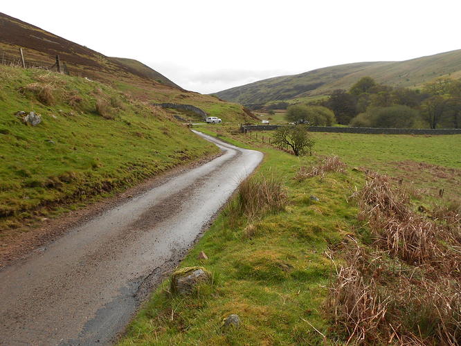
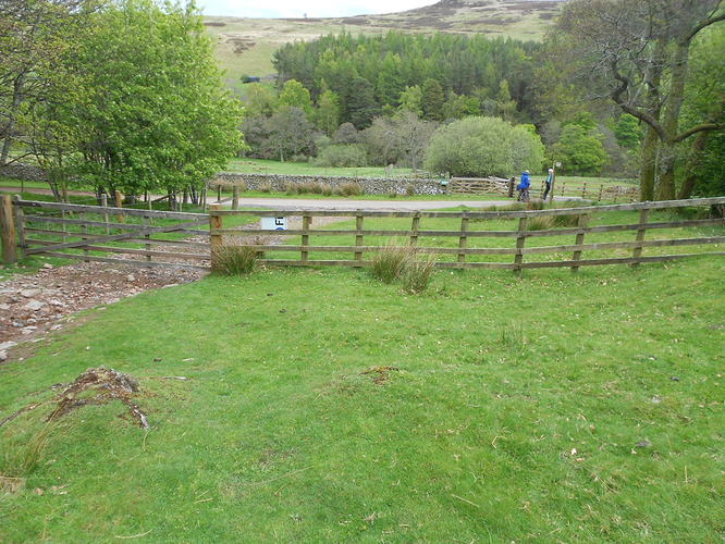
Above: Looking back at the parking place near Langleeford, Harthope Valley
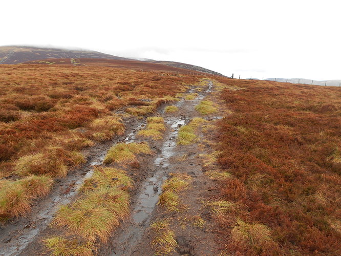
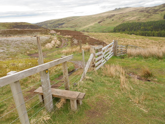
Above: Path to SB1
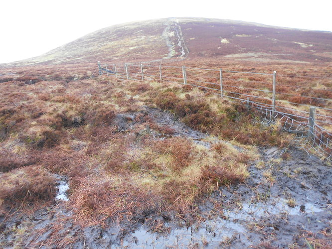
Above: Last of the gloopy section after Scald Hill
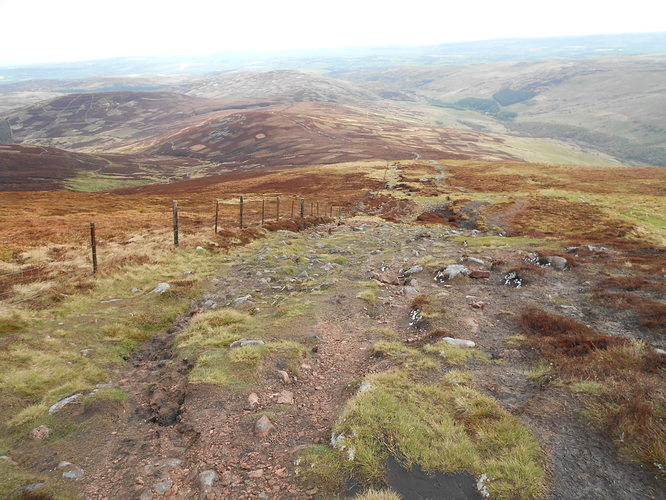
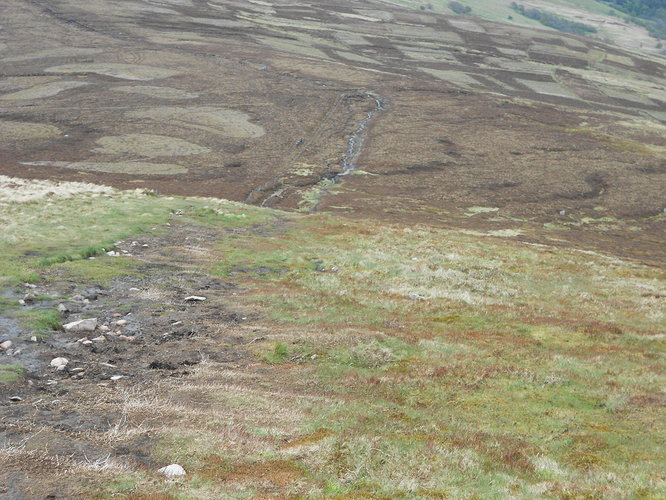
Above: Looking back down the steep final section to the Cheviot. Scald Hill is left-centre mid-ground
Above: The best bit; when you see the ladder stile there’s no more uphill!
Above: Not what I’d dreamed of but it does happen quite often, even in late May
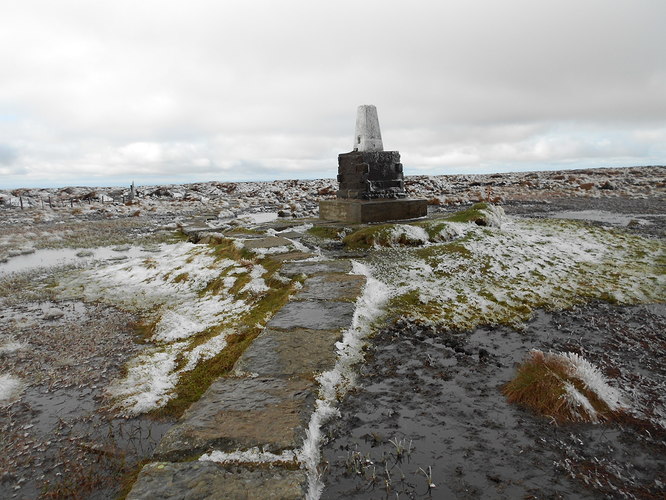
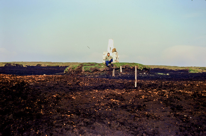
Above: G/SB-001 The Cheviot summit defined by Trig Point TP2152 (OS1560)
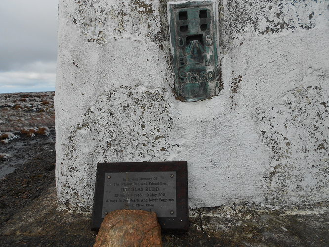
Above: Trig point and a memorial Plaque
Above: Looking downwind for shelter. The stile is just visible 1/4 frame in from the right
Above: Crossing the stile but thinking twice!
Above: G/SB-001 activation. Set up and ready for action on HF
Above: The two fell runners leaving The Cheviot via my QTH, on their way to Hedgehope Hill
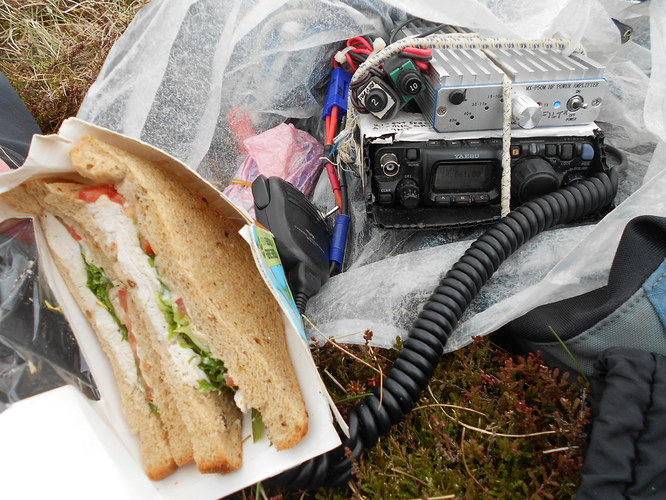
Above: Lunch (Melrose Coop) and 20m CW. FT817ND/ MX-P50M 50W amp with Klixon 2A & 10A miniature circuit breakers
Above: Ladder stile again. Now without snow
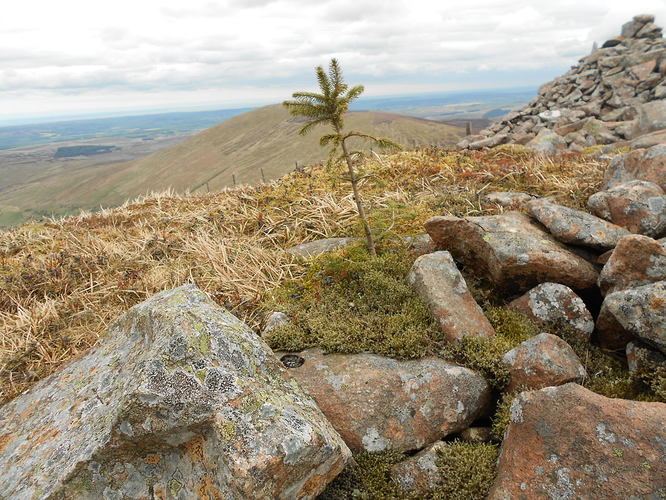
Above: A lone tree above the tree-line looks down on Hedgehope Hill
Above: David’s alternative path left of the fence. The tiny figures using it are four lads heading up for a night out at the summit. (Telephoto)
Above: Looking back. The recommended dry path/ quad track on the NW side of the fence
Above: The final stile of the descent
Above: Back at the road. 240m of tarmac and it’s job done!
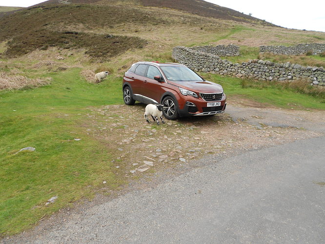
Above: Lamb ‘caught’ licking the car wheels. Salt from winter roads perhaps?
HISTORIC PHOTOS BELOW (Cheviot 1978 & 1981):
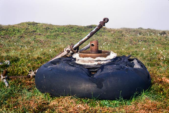
Above: Vickers Warwick HG136 mainwheel on Cairn Hill, 7am on 13-07-1978.
Above: Vickers Warwick HG136, Cairn Hill (NT900195 - HGW-2) 13-07-1978. Items later removed to Elvington Museum
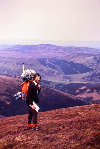
Above: Cheviot summit (pre-paving slabs) from Sourhope Exptl farm on 13-07-1978. A ‘pre’ G4YSS aged 29 with compass & Army Stores canvas pack. Boots guaranteed, ‘One blister per 5 miles or your money back!’
Above: Boeing B17 at Braydon Crag, Cheviot 13-07-78
Above: B17 wreckage with Braydon Crag behind
Above: On route Langleeford to Braydon Crag, Cheviot loaded with 57 pounds (26kg) on 09-05-1981. Agony!
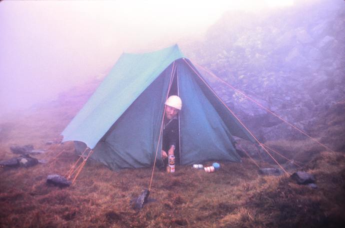
Above: Friend Paul opening cans - yes cans! for breakfast a heavy canvas tent. 10-05-1981, Braydon Crag, Cheviot.
