I keep seeing the Malvern Hills, they are a prominent landmark from the eastern summits of Bannau Brycheiniog (The Brecon Beacons), the Welsh Borders and the M50 motorway. I have walked on the hills several times but had never walked the full length of the ridge or undertaken a SOTA activation from Worcestershire Beacon. Over a several years I hatched a plan to walk the Malvern Hills from Ledbury railway station to Great Malvern railway station. As I scoured the Ordnance Survey maps for suitable footpaths, I discovered that the Geopark Way took me most of the way. This was a great relief as public rights of way on a map are not always evident as a path on the ground and are frequently impassable.
The route passes over Eastnor Obelisk Hill, Hangman’s Hill, Millenium Hill, Herfordshire Beacon, Black Hill, Pinnacle Hill, Jubilee Hill, Perseverance Hill, Summer Hill, Worcestershire Beacon, Sugarloaf Hill, Table Hill, and North Hill. That is a lot of hills for 1 point. I would like to claim that I would have done the walk without the point, but here lies the wonder of SOTA. The scheme presents a manageable number of summits. It is for this reason that the scheme has taken me to places that I would otherwise not have visited and given me a reason to revisit places with fresh eyes.
My journey started at 06:30 with a 20 minute walk to Cardiff Queen Street station. The train journey was a very pleasant change from driving. Three trains and a couple hours later, I stepped onto the platform of Ledbury station.
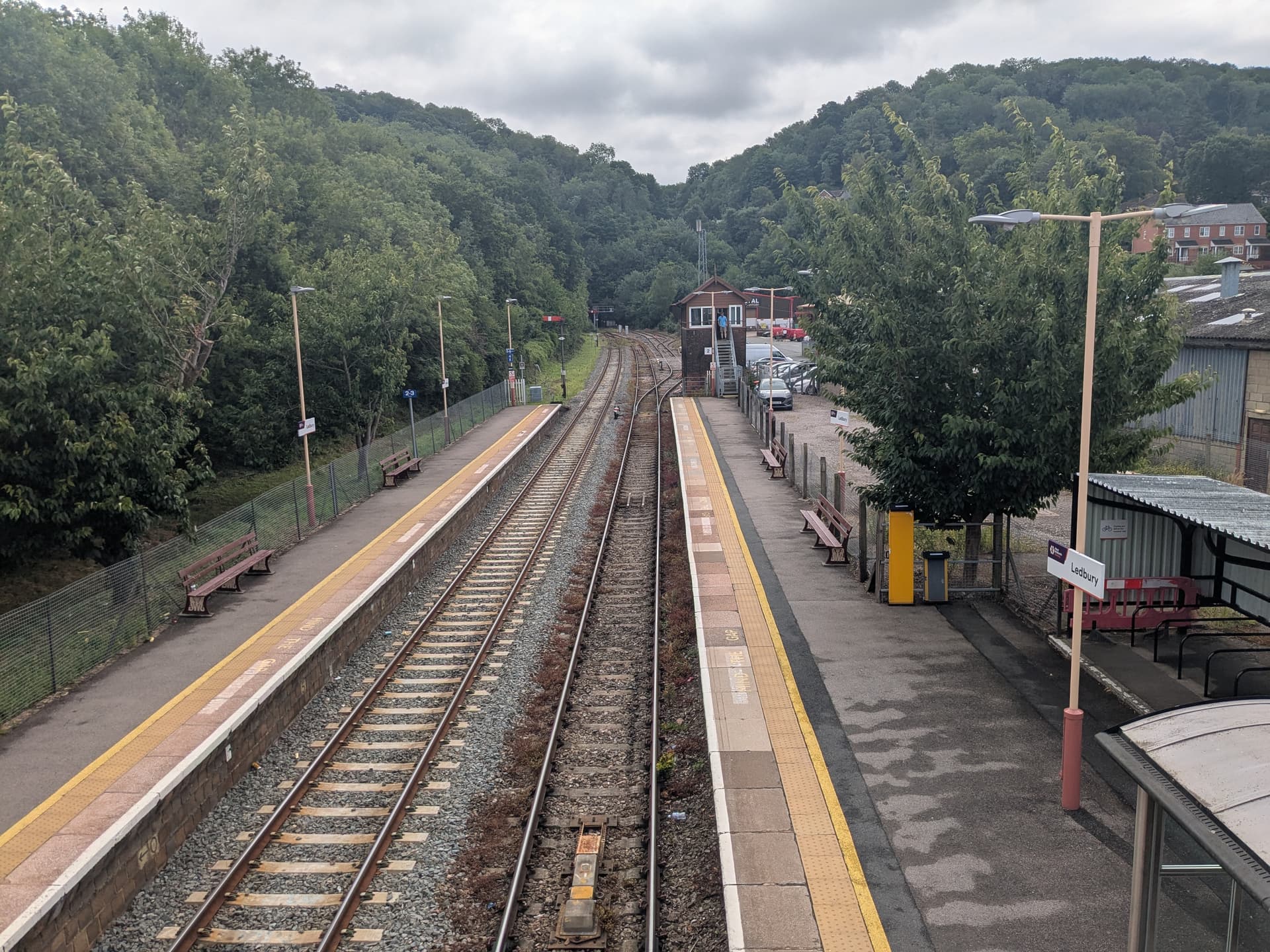
Ledbury Station
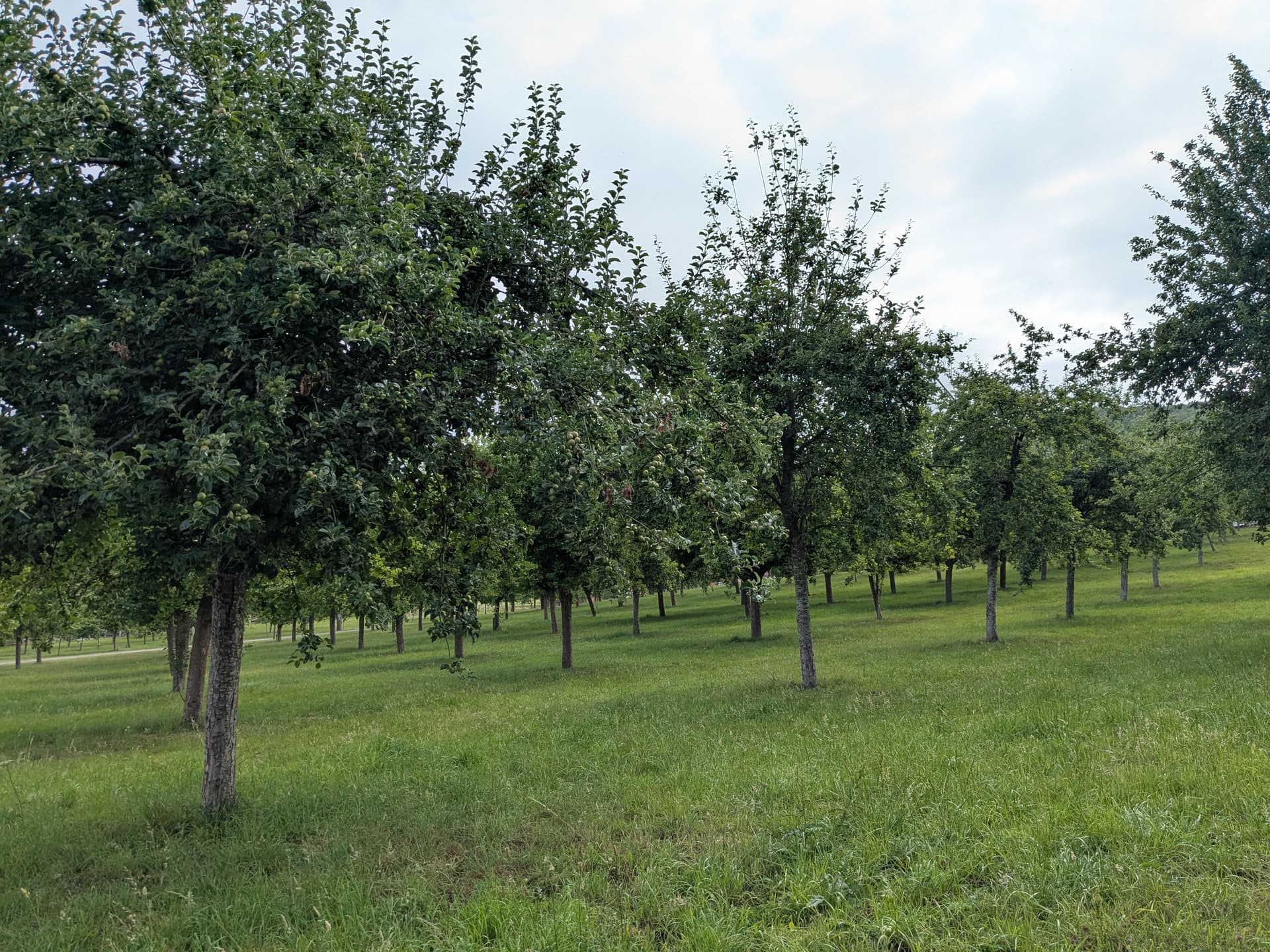
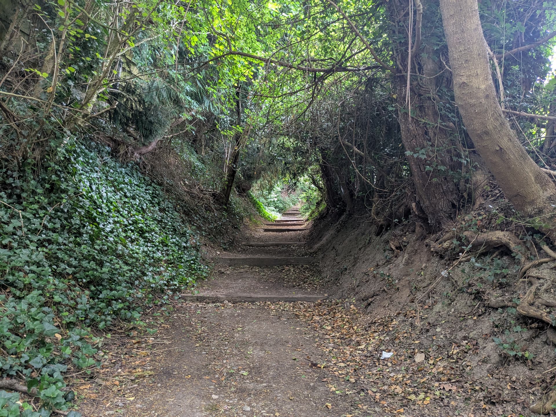
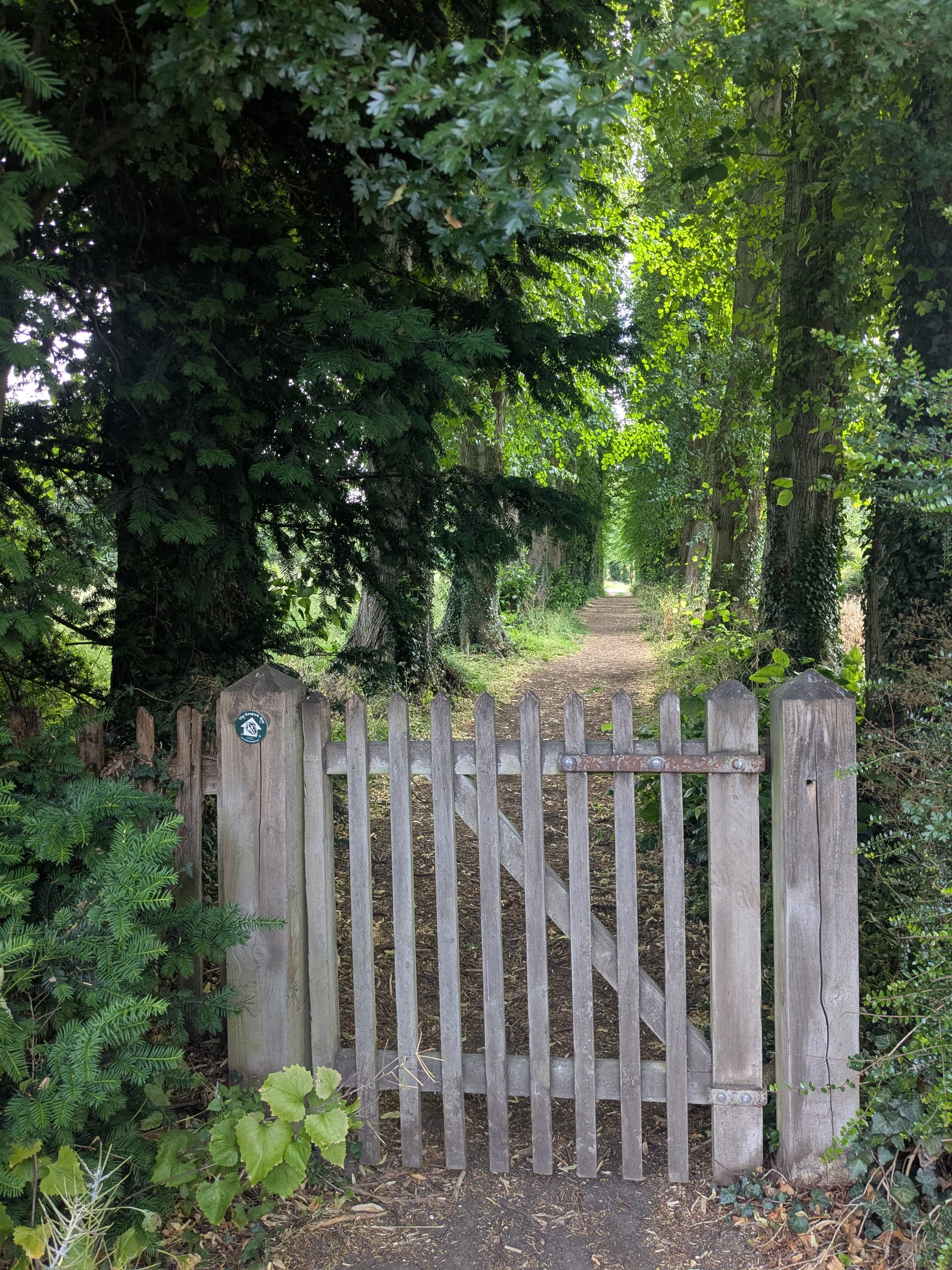
The route skirted around Ledbury with a pleasant stroll through an orchard before entering the Woodland Trust site at Dog Hill Wood, emerging from the woodland, to walk around the delightful St Michael & All Angels church before joining the Geopark Way.
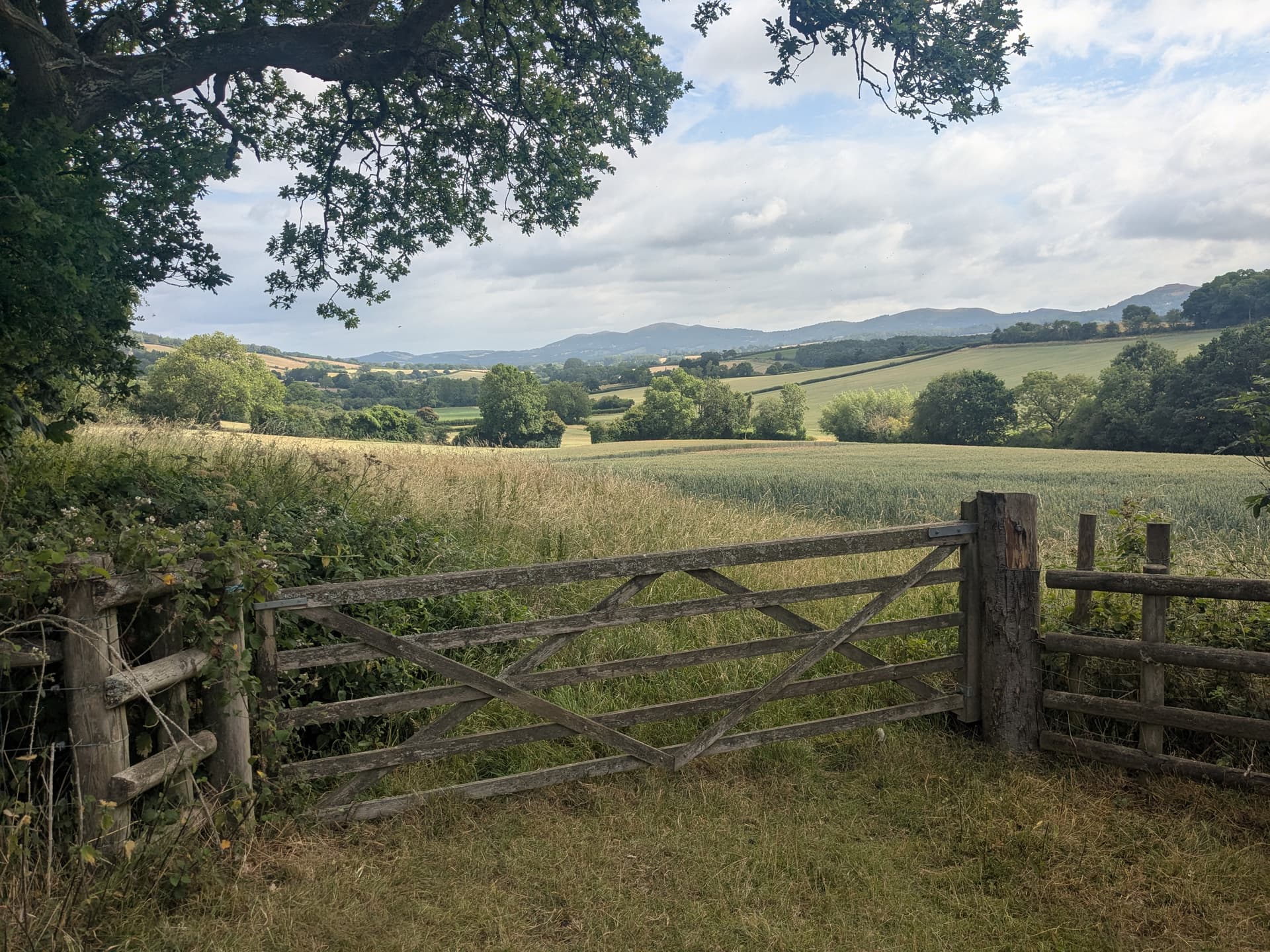
The first view of the Malvern Hills was from Dead Woman’s Thorn, the first of several gruesome place names.
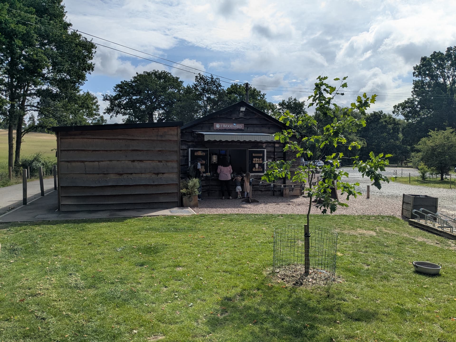
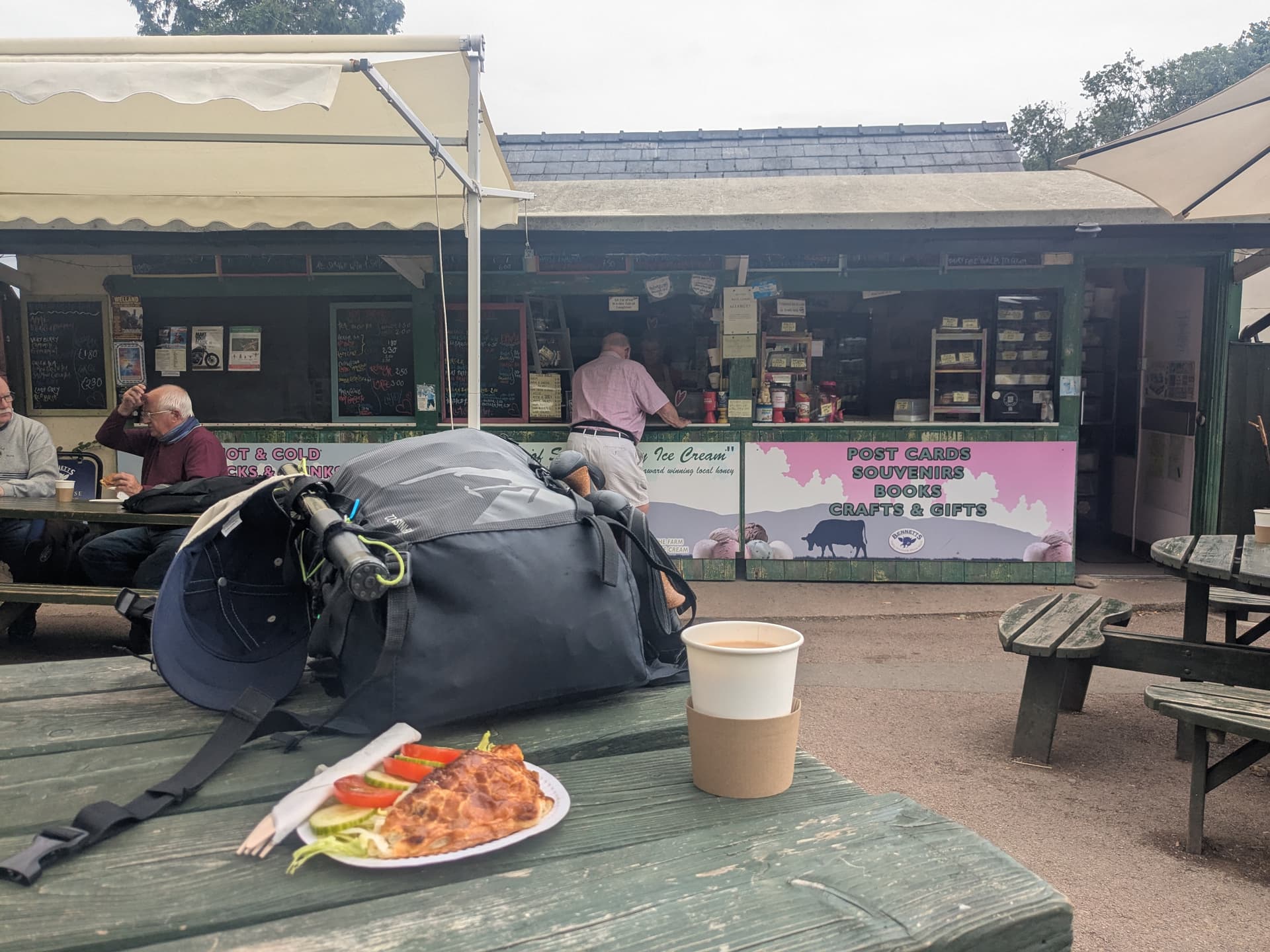
At the Church of St John the Baptist a beautiful tree lined path take you to Eastnor Deer Park and the Woodshed Cafe which provided an opportunity for coffee and a slice of cake.
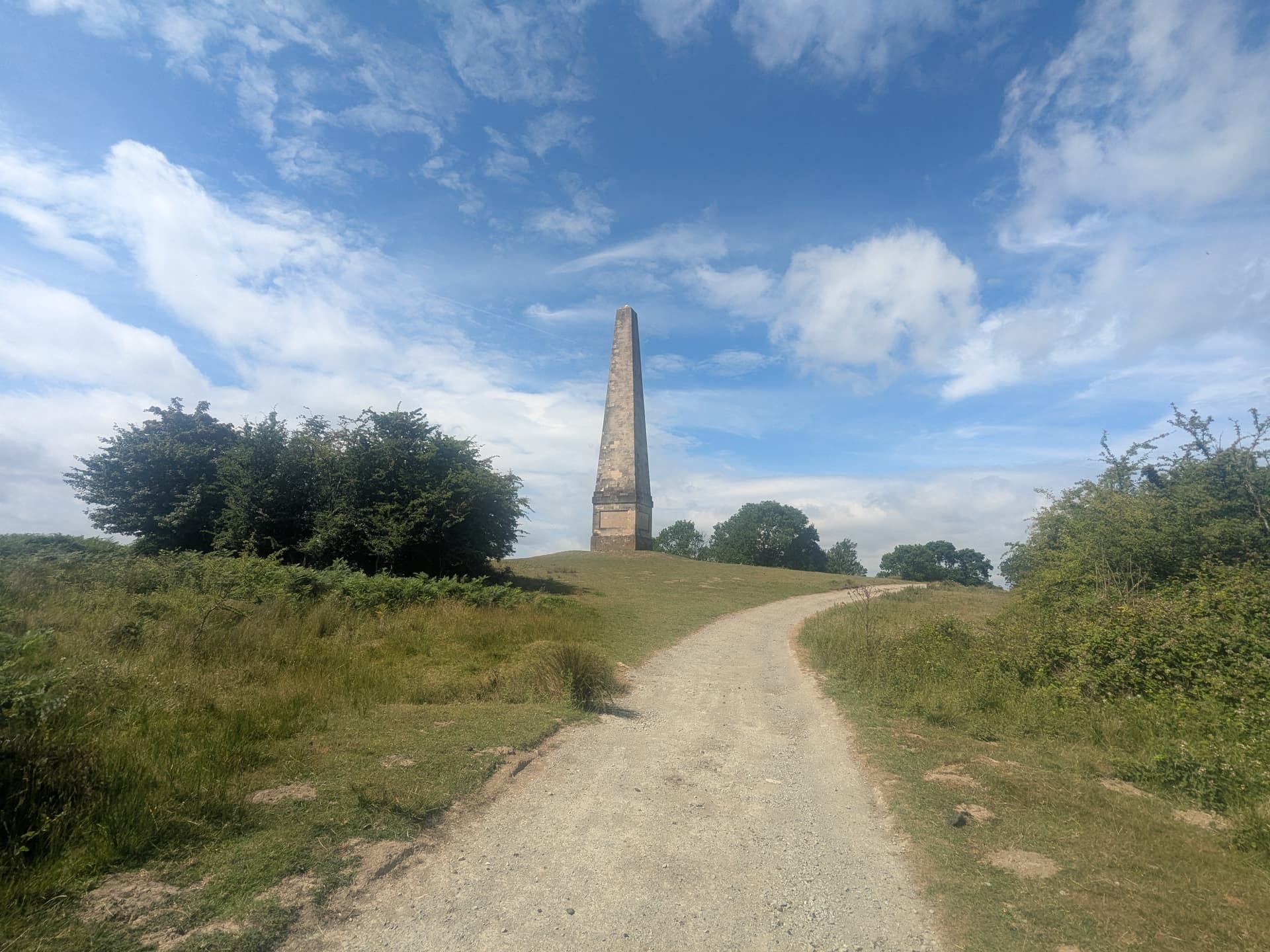
The Deer Park has well made paths that make their way through rolling grassland, past a couple of lakes, and up to Eastnor Obelisk.
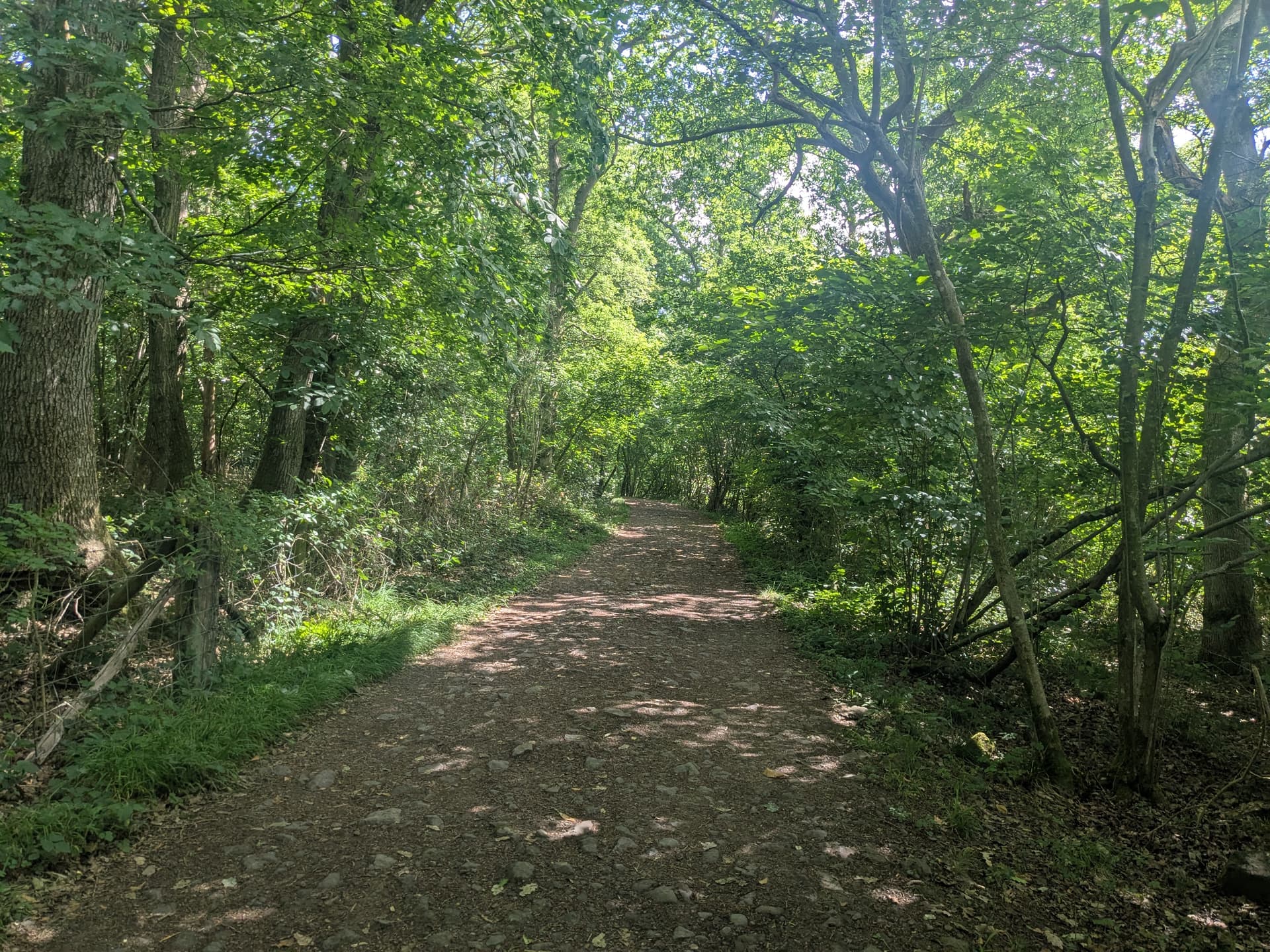
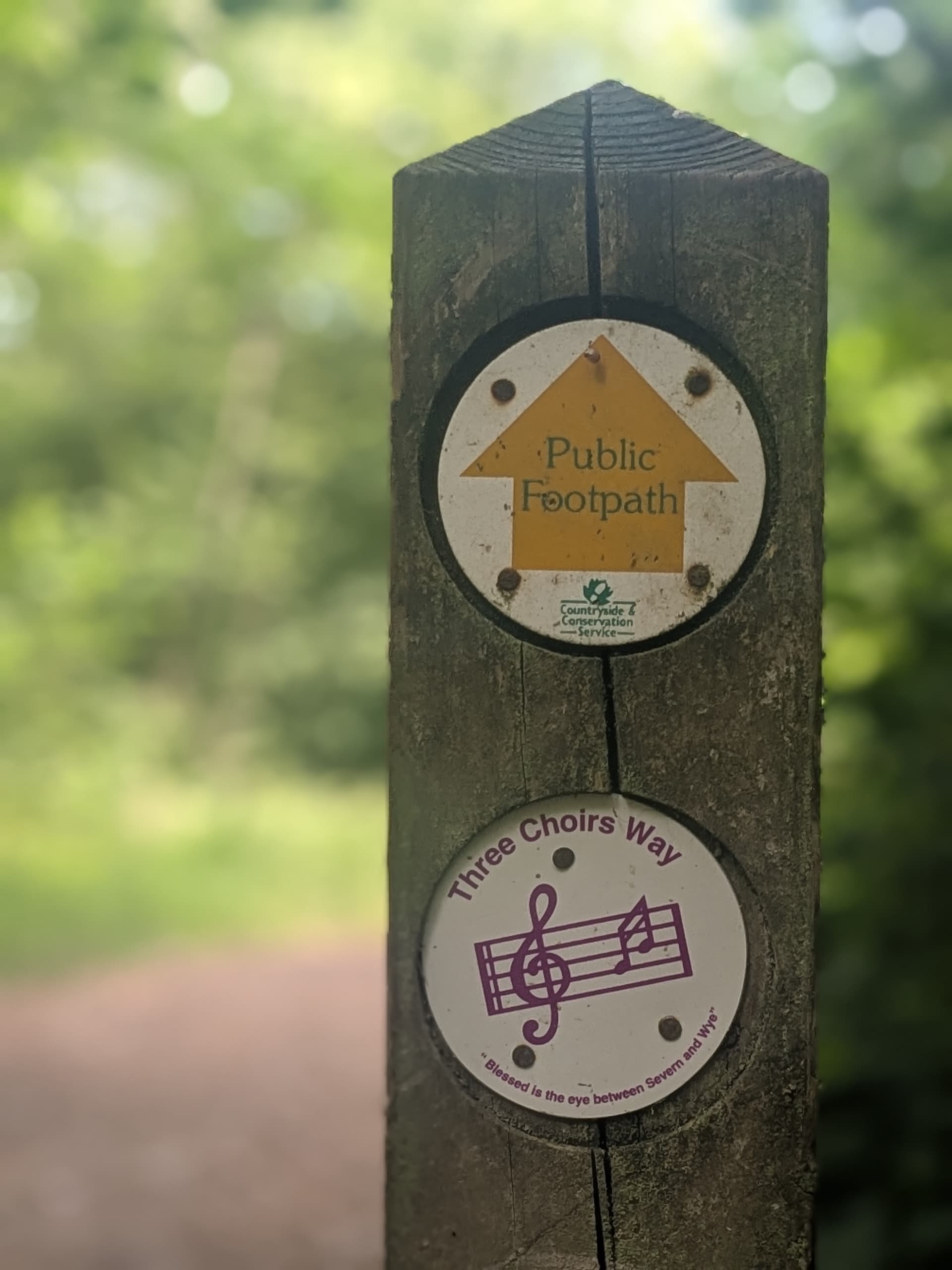
Descending from the obelisk the path enters another woodland and now follows the The Three Choirs Way which takes you to Hangman’s Hill.
As you approach Herefordshire Beacon the scale of the Iron Age hill fort earthworks at British Camp become apparent.
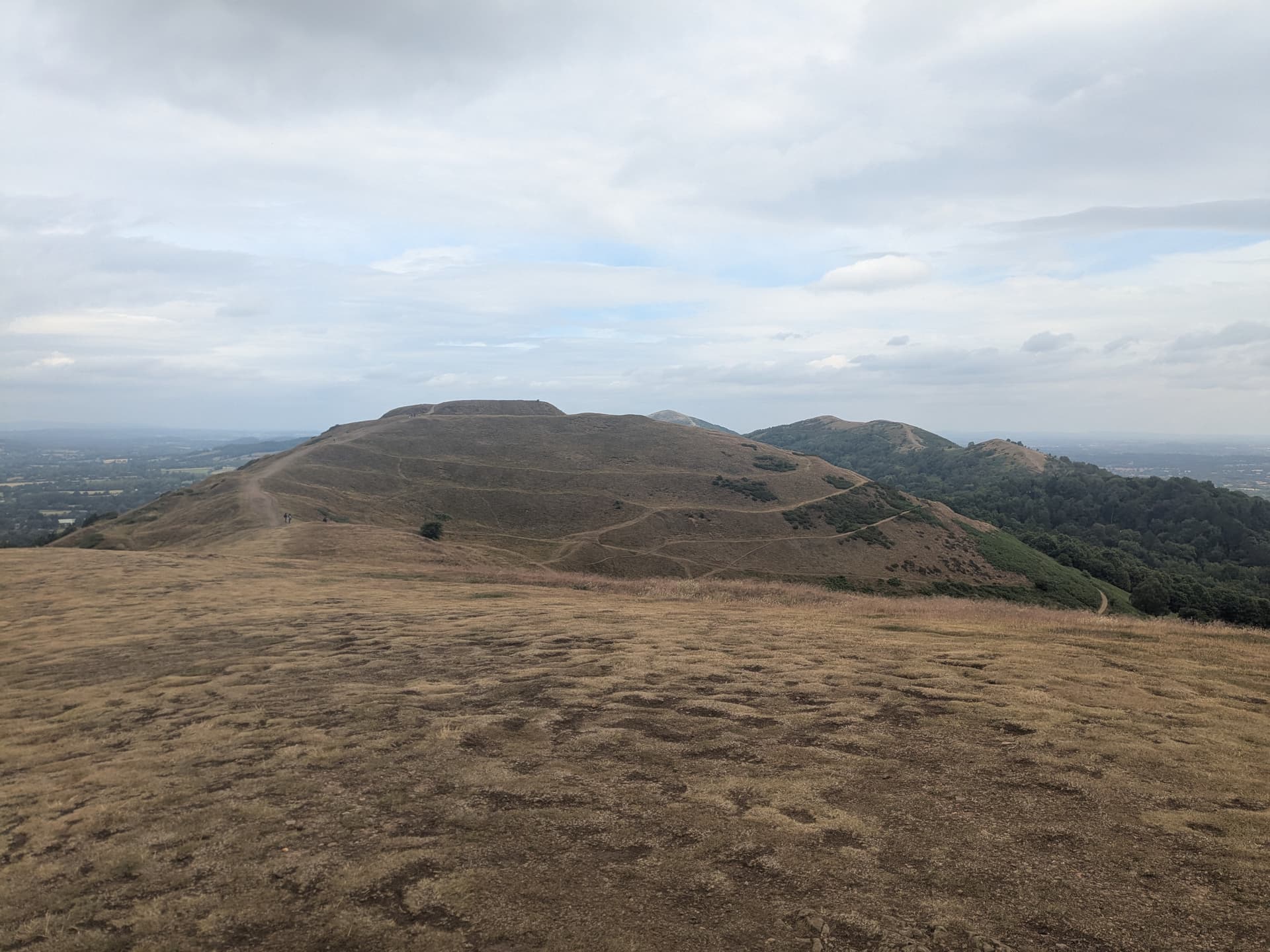
British Camp Iron Age hill fort
From this point the path descends to The Malvern Hills Hotel and Sally’s place, a friendly cafe.
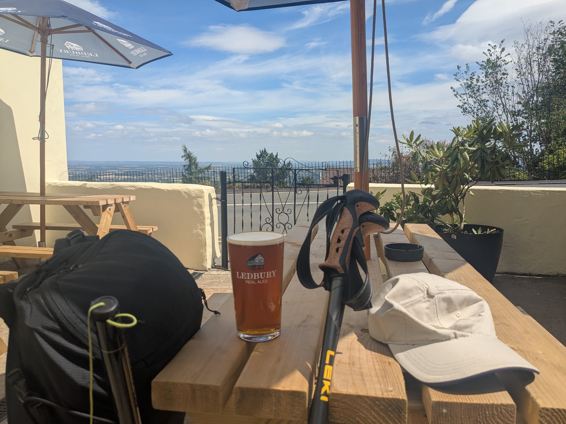
An hour of pleasant walking took me from the cafe to The Wyche Inn with a fine selection of beers and a wonderful view.
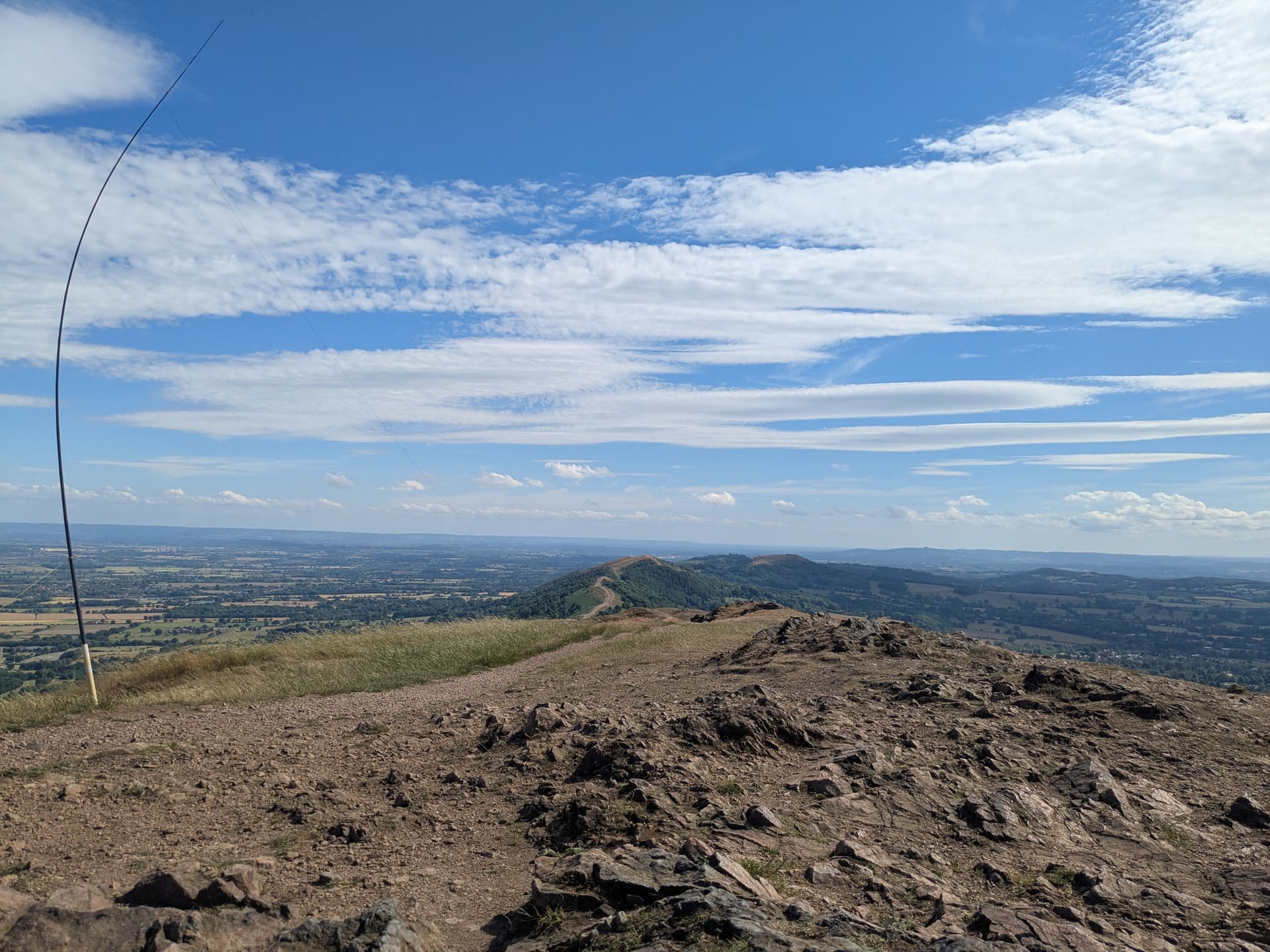
Having quenched my thirst I strolled up Summer Hill and on to the summit of G/WB-009 Worcestershire Beacon. The summit offers a choice of several benches which would make fine operating positions. It was incredibly windy which seemed to have discouraged people for visiting the summit so I set up at the trig point in the hope of a good VHF take off.
I had a good run on 2m FM with some remarkable contacts: David G0TFD in Stafford, Steven M0STN in Northamptonshire, John GW4TQD in Llandysul, and many more. The stand out contact was Dave @GW4RFT just outside of Barmouth, the other side of Wales, with many hills standing between us.
HF conditions were challenging. The ever dependable Phil @ON7GO came back to my CQ call on 40m CW almost instantly, but much calling was required to get a second contact. I switched to 60m CW, Steve @GW5SAW found me and asked if I had qualified on HF? I explained that he was my third contact and that I was hoping that Esther was at her radio to give me my forth contact. No sooner had we finished our dit dits and @GI0AZA called in, you mush have been listening Esther.
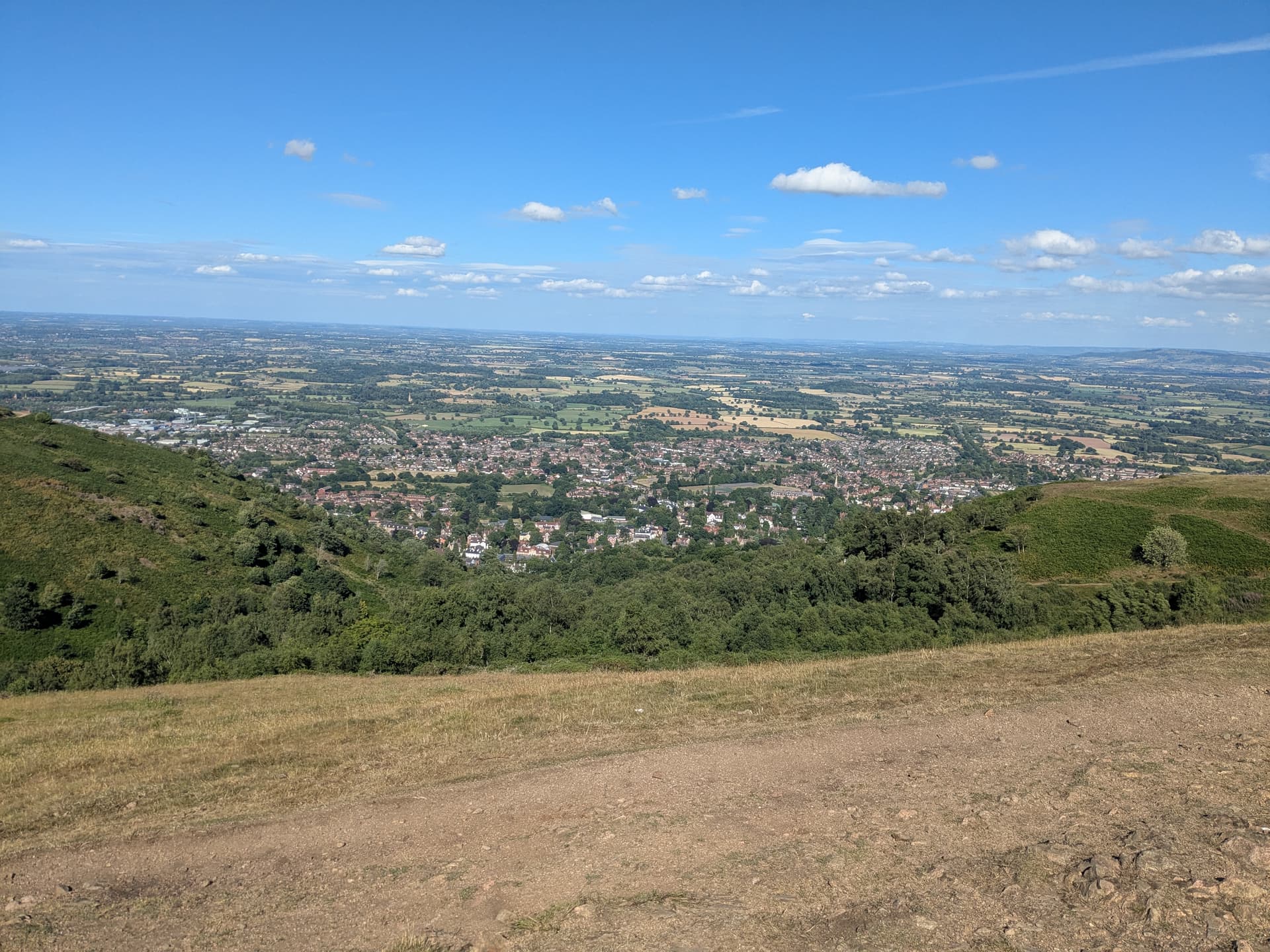
The wind had become particularly strong and after 2 hours on the summit it was time to pack up. My route to Great Malvern via Sugarloaf Hill, Table Hill, and North Hill left me with an hour to wait for my train.

Great Malvern and Fish and Chips at The Great Malvern Hotel
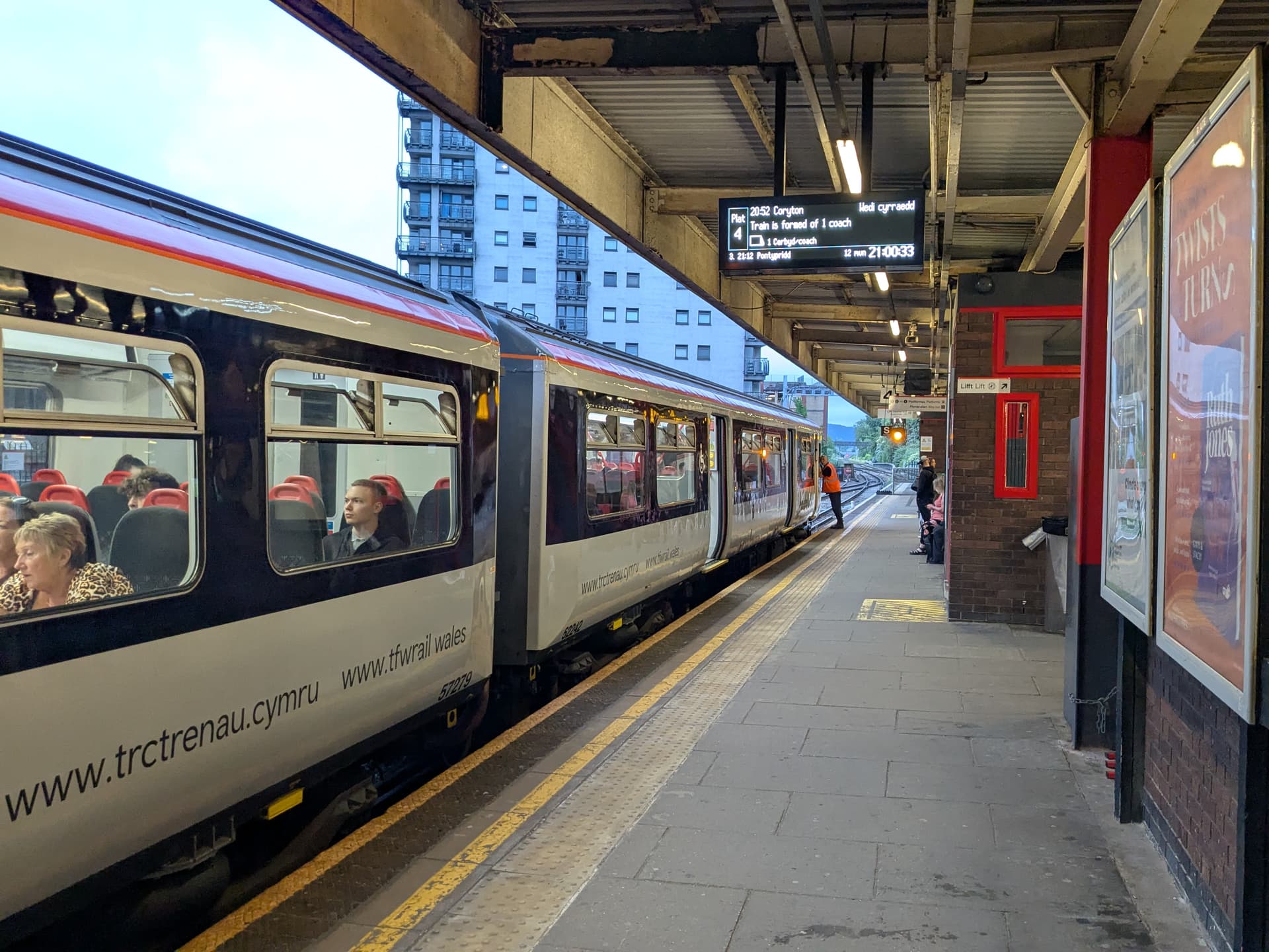
The last of my trains at Cardiff Queen Street station, my final stop.
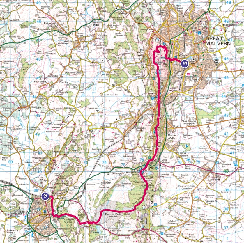
© Crown copyright and database rights 2023 Ordnance Survey (100025252)
I have uploaded the gpx track to the SOTA Mapping site. This is a very pleasant walk that I can highly recommend, all the better for not needing to drive.
73, Kevin MW0KXN