Ben Cleuch GM/SS-059 and King’s Seat Hill GM/HSS-184
Wednesday 19th August 2020
This was the first outing that I had undertaken since Paul G4MD and myself activated a number of GM/SS summits in early March when we were based at Stirling. I used a week away in Northumberland as the springboard for the activations and this allowed me to confine the activity to a single day rather than having to find suitable overnight accommodation, something that I preferred to avoid given the current situation. Also, being off the hills for so long, I wasn’t best prepared. I had even left my 2m yagi back at home in Northampton.
I set out from Amble on the Northumberland coast at 05:00 local time. This was the first time in many months that I had made a lengthy journey unaccompanied and at a relatively early hour. Initially I found this surprisingly uncomfortable, but after a while I settled to the task in hand. I was certainly looking forward to getting up onto the hills with the radio kit. The 136 mile journey took me two and a half hours which was far enough for the first outing after lockdown.
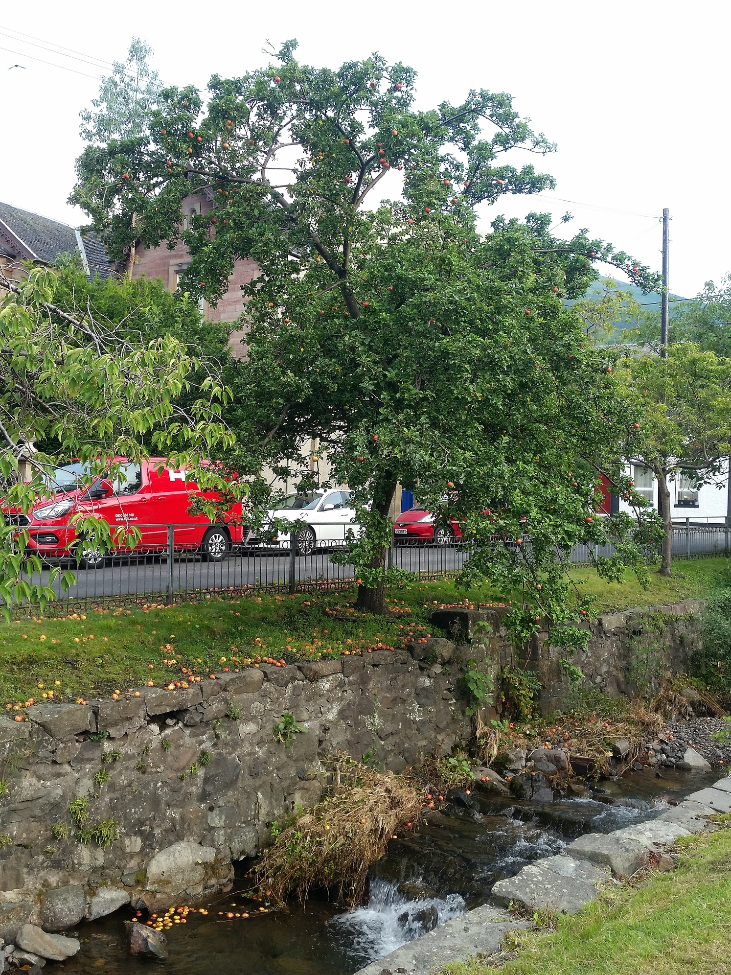
Parking in Upper Mill Street - fancy an apple?
I parked up in Upper Mill Street in Tillicoutry at 07:30 local time and after a drink and a cereal bar, I started to get ready for the ascent. Thankfully the weather was dry with a mixture of cloud and hazy sun. Overnight rain had made it very humid. The kit I had packed seemed to be overkill - my 4 season Berghaus Kibo boots, gaiters, Paramo jacket… that’s the problem planning an outing when you don’t know the forecast. In the end I decided on taking my jacket - to have not done so would surely have invoked the inclement weather gods and I’d have got a pasting.
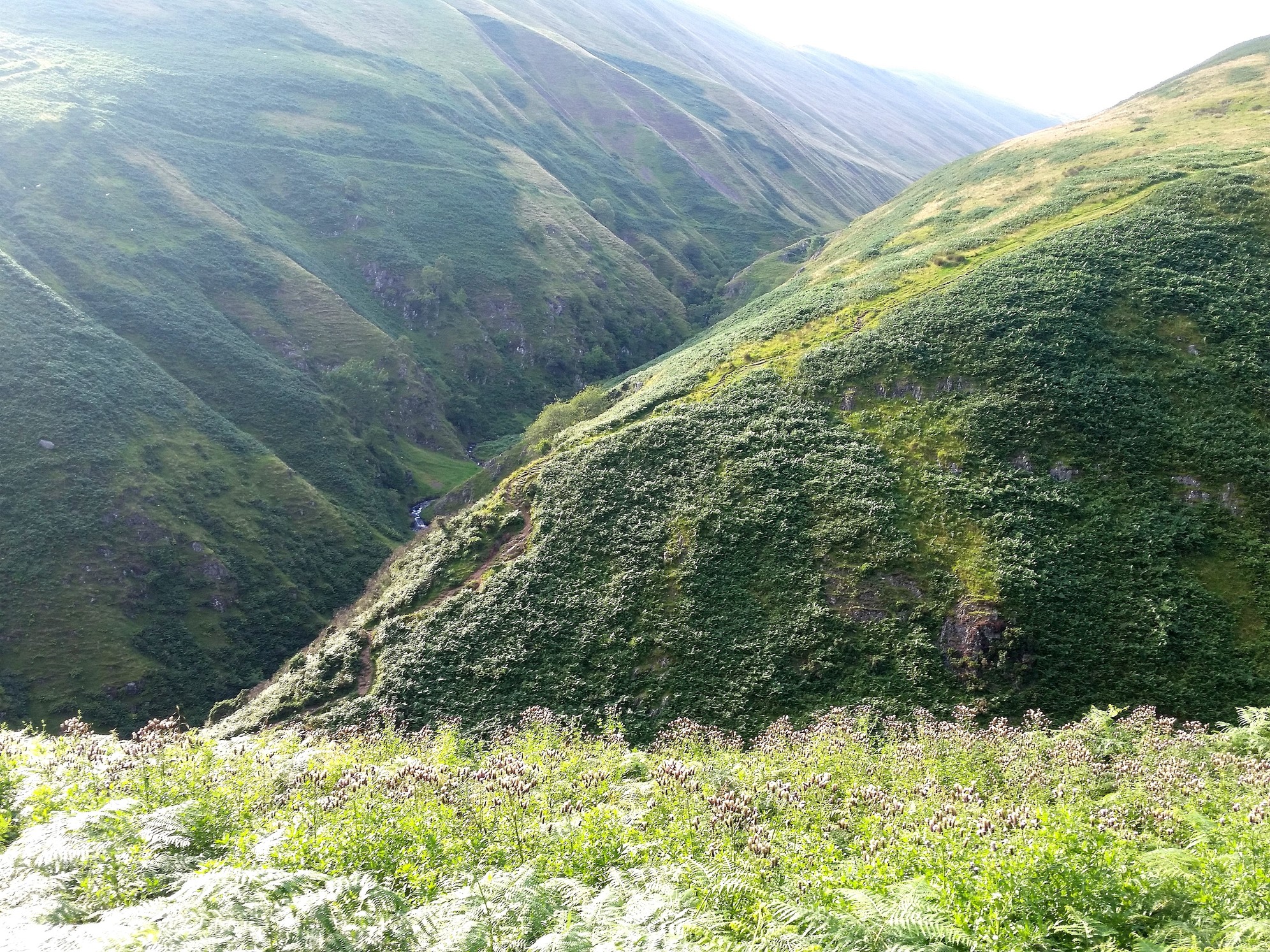
The initial part of the ascent went quite easily on the well made and well used path. There was even a printed sign indicating the way and steps up through the trees. I reached several waterfalls after walking about 1km, knowing that this was where the main ascent started. After crossing a small bridge over the stream, there was a section of scrambling before the gradient reduced and so started the long trek up to the summit of The Law.
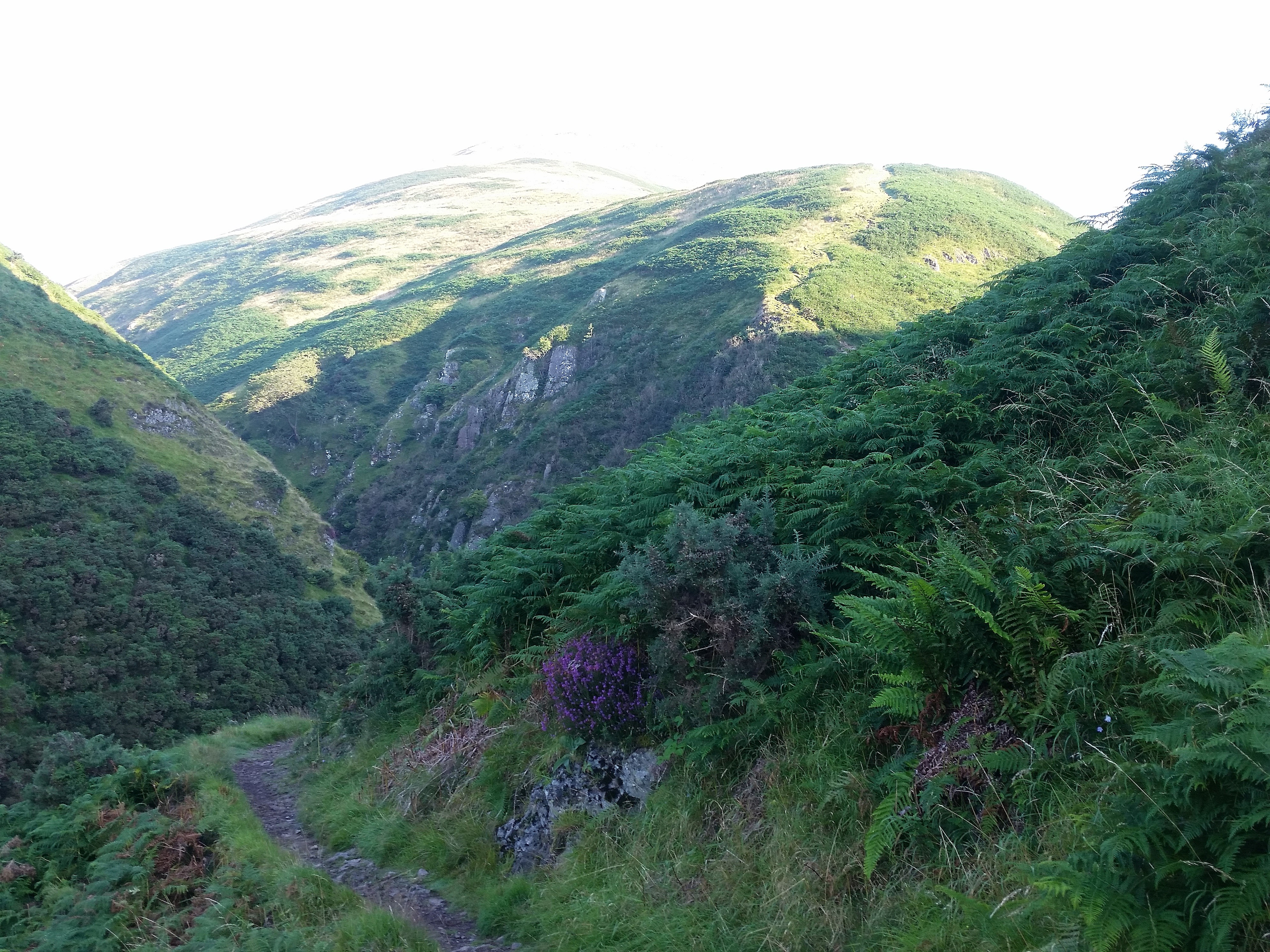
Approaching the waterfalls with the ascent route up The Law in the background.
It wasn’t long before I declared myself not to be hill-fit. Walking miles and miles in Northamptonshire during and since lockdown without a backpack hadn’t maintained an adequate level of fitness required to tackle proper hills. The situation was compounded by it being pretty much airless. What breeze there was came from directly behind me and at walking pace. To cool down I had to keep stopping to get the benefit of the flow of air. Not ideal and a time waster, but essential to avoid overheating, especially when the cloud thinned and it got warmer higher up. Unusually for me, I took a ten minute breather at the summit of The Law.
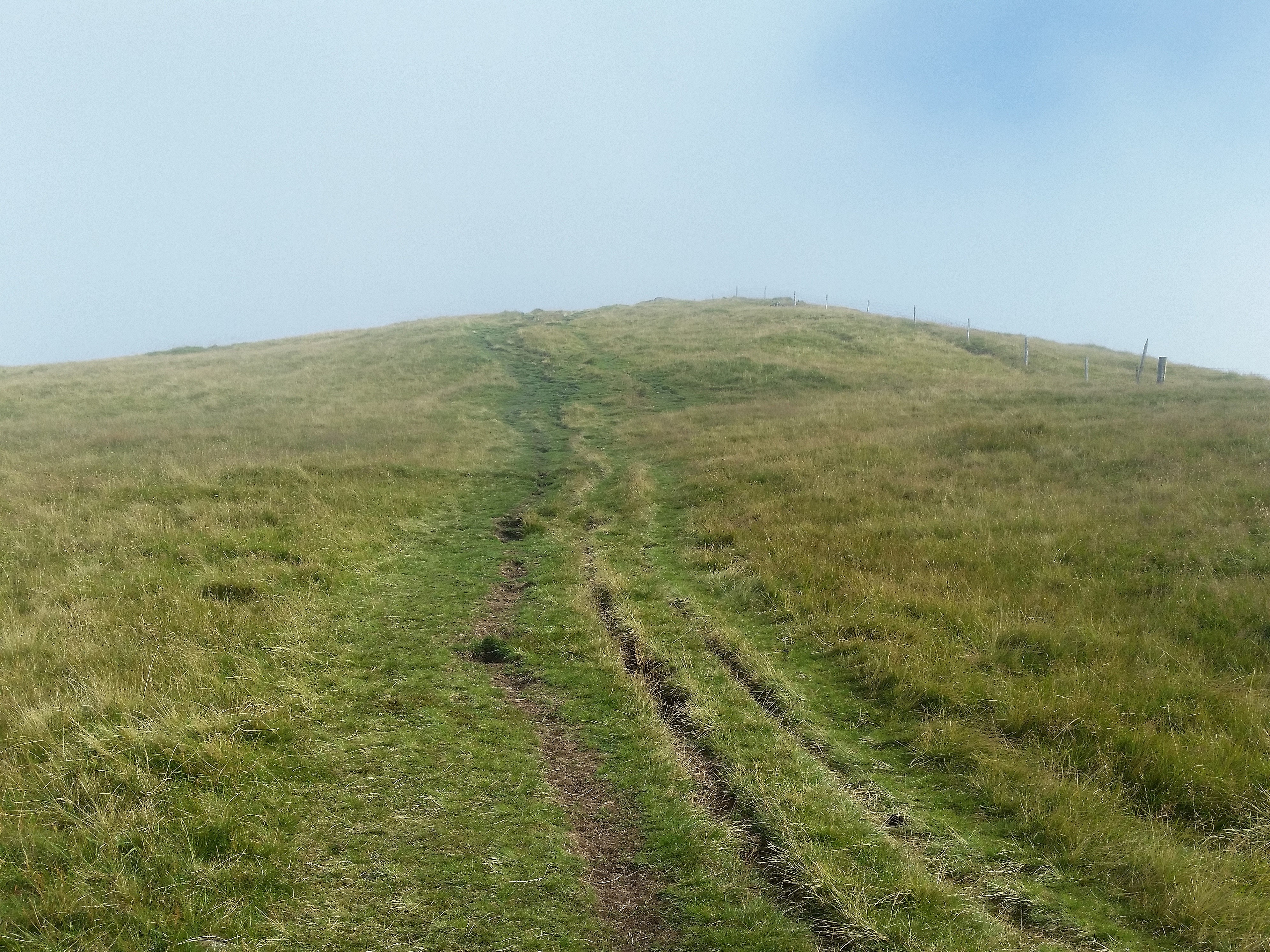
Approaching The Law.
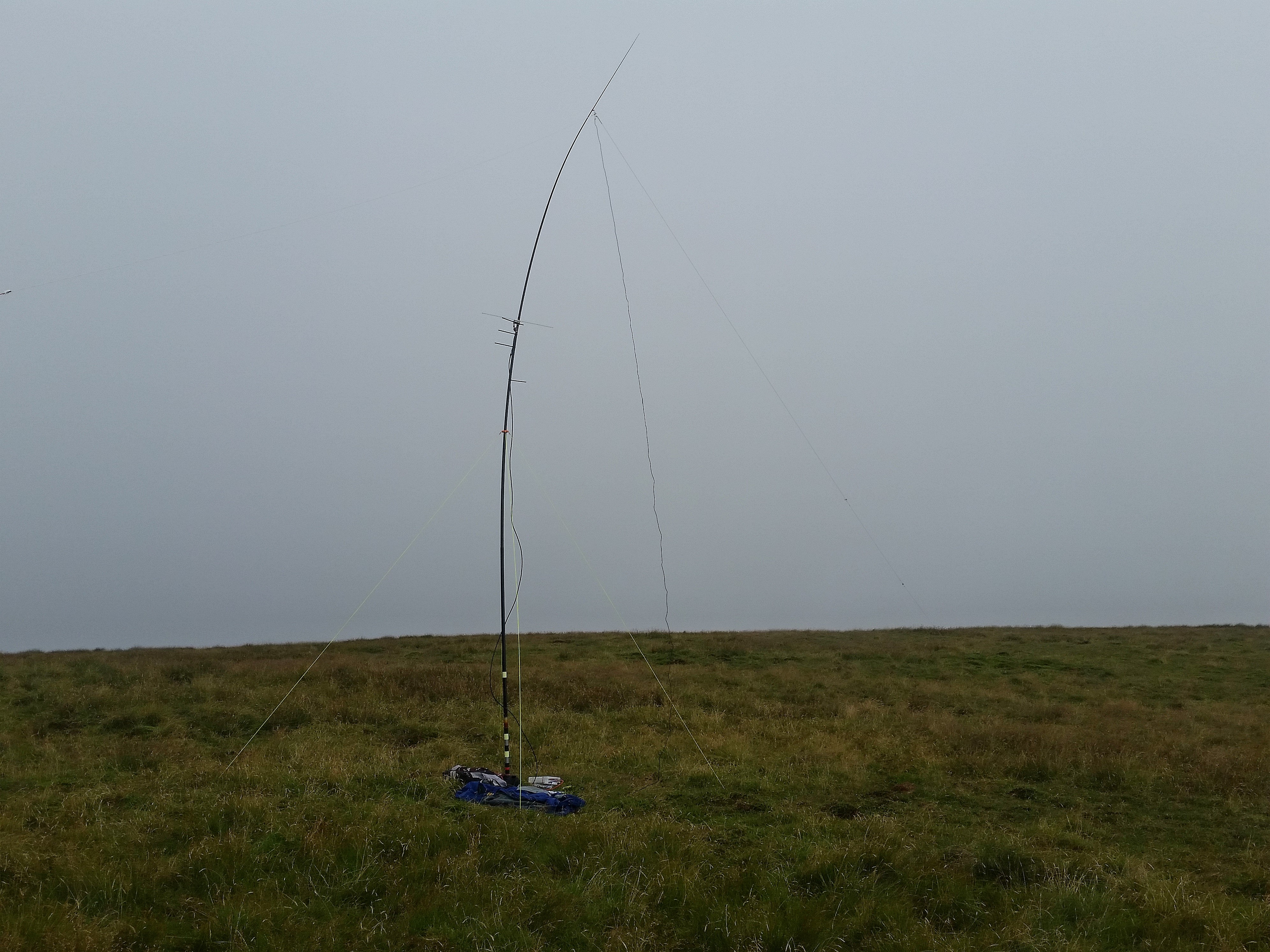
Suitably refreshed and with the hardest part of the ascent behind me, I managed to make light work of the remainder of the track up to my first summit, Ben Cleuch GM/SS-059. A lone walker had passed me on The Law and I could see him on Ben Cleuch as I approached, but he had moved on by the time I arrived at 10:48 local / 09:48z. Being slightly behind schedule, or so I thought, I quickly set up for HF using the convenient fence to support the pole. As I was settling down ready to operate, the cloudbase dropped quite rapidly and along with it the temperature. Bizarrely this change forced a passing racing pigeon to land quite close to me. I certainly didn’t expect to see a pigeon at this elevation. Once the local conditions improved it went off on its way once more.
Ben Cleuch summit.
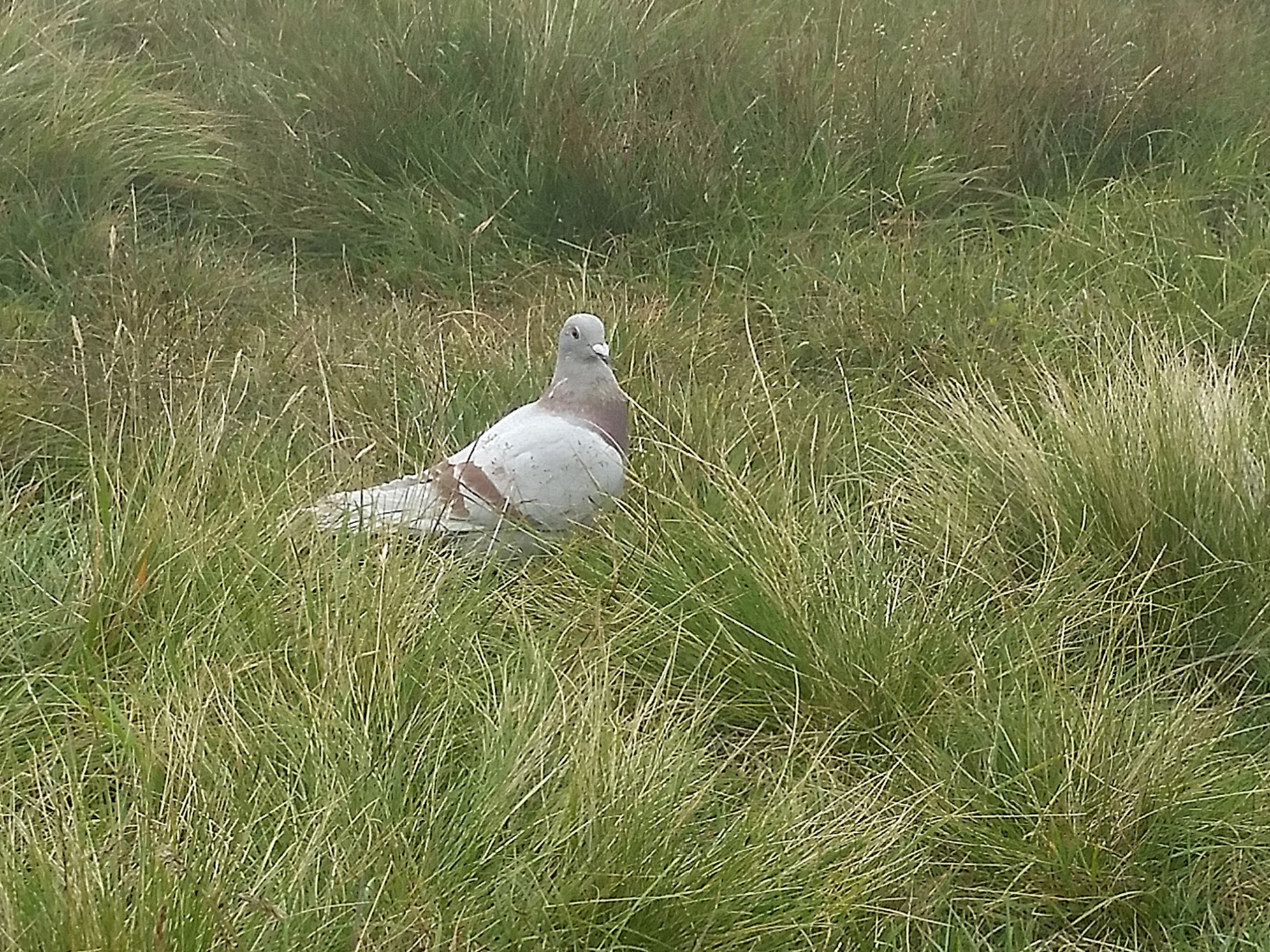
Unusual visitor as such a high elevation.
I started operating on 60m SSB hoping someone would be listening for my signal, but no-one replied to my CQ calls, so I resorted to a self-spot. I was later to realise that I had made an error placing my alert for 11:00. This should have been 10:00z - I was effectively an hour early.
The self-spot quickly brought Don G0RQL onto my frequency and we had a brief chat. The band then produced a steady run of SOTA chasers, the majority being excellent signals. It was nice to work Esther GI0AZA and Ian GI0AZB in succession. After 15 contacts the frequency went quiet, so I decided to try CW and moved down to 5.3545MHz. I did wonder whether the RBN worked on 60m. Thankfully it did and fellow De Montfort ARS member Alan G0TPH gave me a call. Next up was Mike DJ5AV and then Bruno HB9CBR/P on Bettemergrat HB/VS-262 called me for an S2S, giving me my first 60m QSO with Switzerland. Several more CQs solicited no further calls, so I moved on to 40m SSB and self-spotted for 7.150MHz.
Dave G4IAR headed the run of predominantly WAB chasers at 10:48z. I had worked eight on the band when I heard “summit to summit”. This turned out to be Ralf TF/HB9GKR/P on Bolafjall TF/VF-044. Another first for me. I went on to work another sixteen with James M1TES being the final caller at 11:17z. Paul G4MD tracked my progress throughout the activation and occasionally heard the odd word from me, but we were unfortunately not to manage a contact.
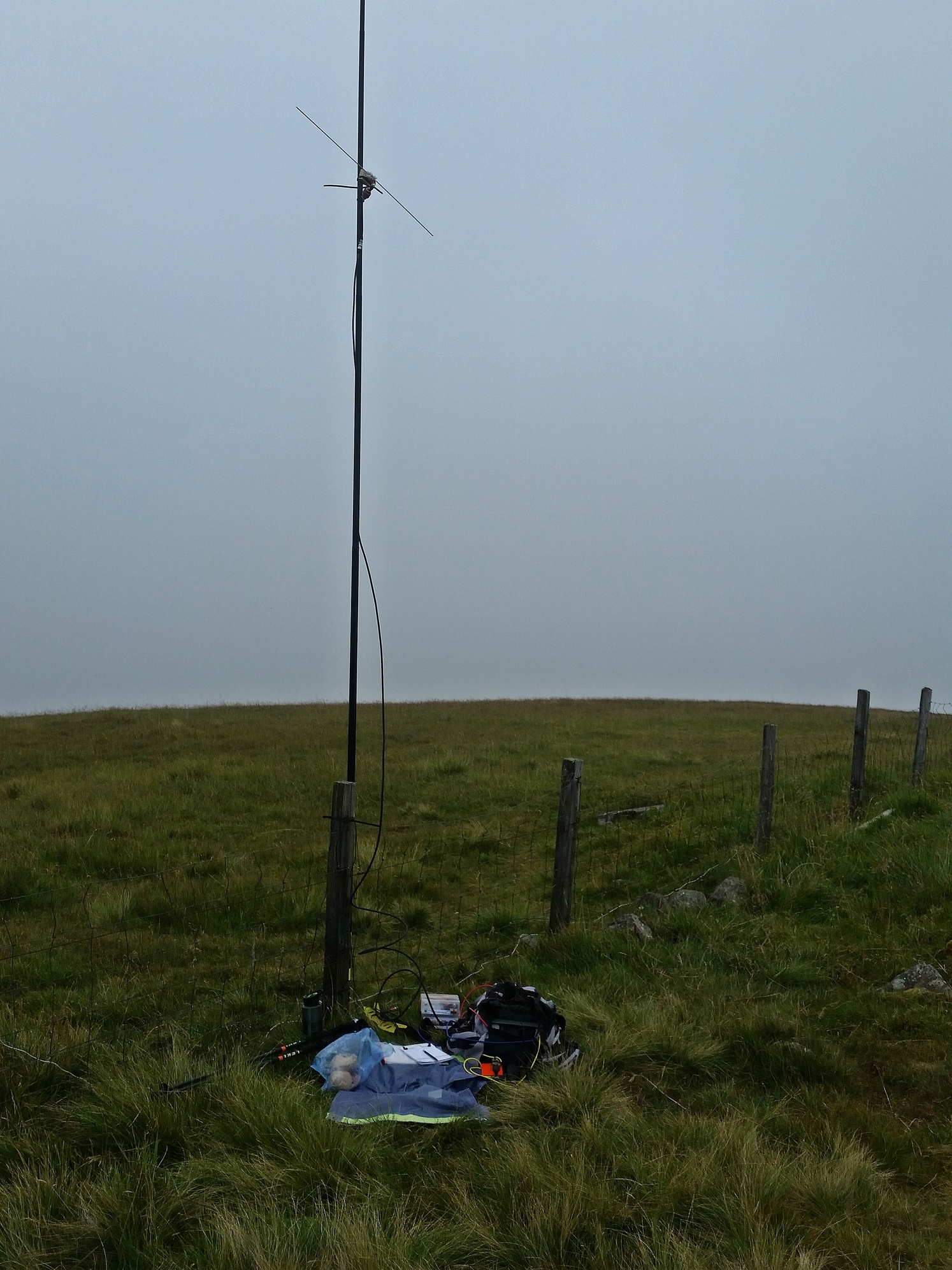
2m SSB from Ben Cleuch.
Having been caught out by the terrain between summits on a number of occasions, I had allowed quite a bit of time to get to my second summit of the day. However, I was now running behind schedule by some margin, so I decided to drop 40m CW in favour of 2m SSB. My appearance on 144.333MHz quickly netted me a contact with Steve MM0XPZ. Unfortunately I was unable to complete with Don G0RQL as I only had a dipole at my disposal. Signals down to Devon were marginal to start with, but quickly worsened and reluctantly I had to give up and dismantle the station at 11:44z.
The walk over to my second summit was quite pleasant and the ground was considerably easier than I had expected, so I actually arrived earlier than planned. En route I passed a couple of strange characters - one carrying an ice axe, the second a weather-worn character wearing a bandana and shod with flip-flops! I could see he was an experienced hill walker, so made no comment. In all I saw no more than twenty people on the hills all day.
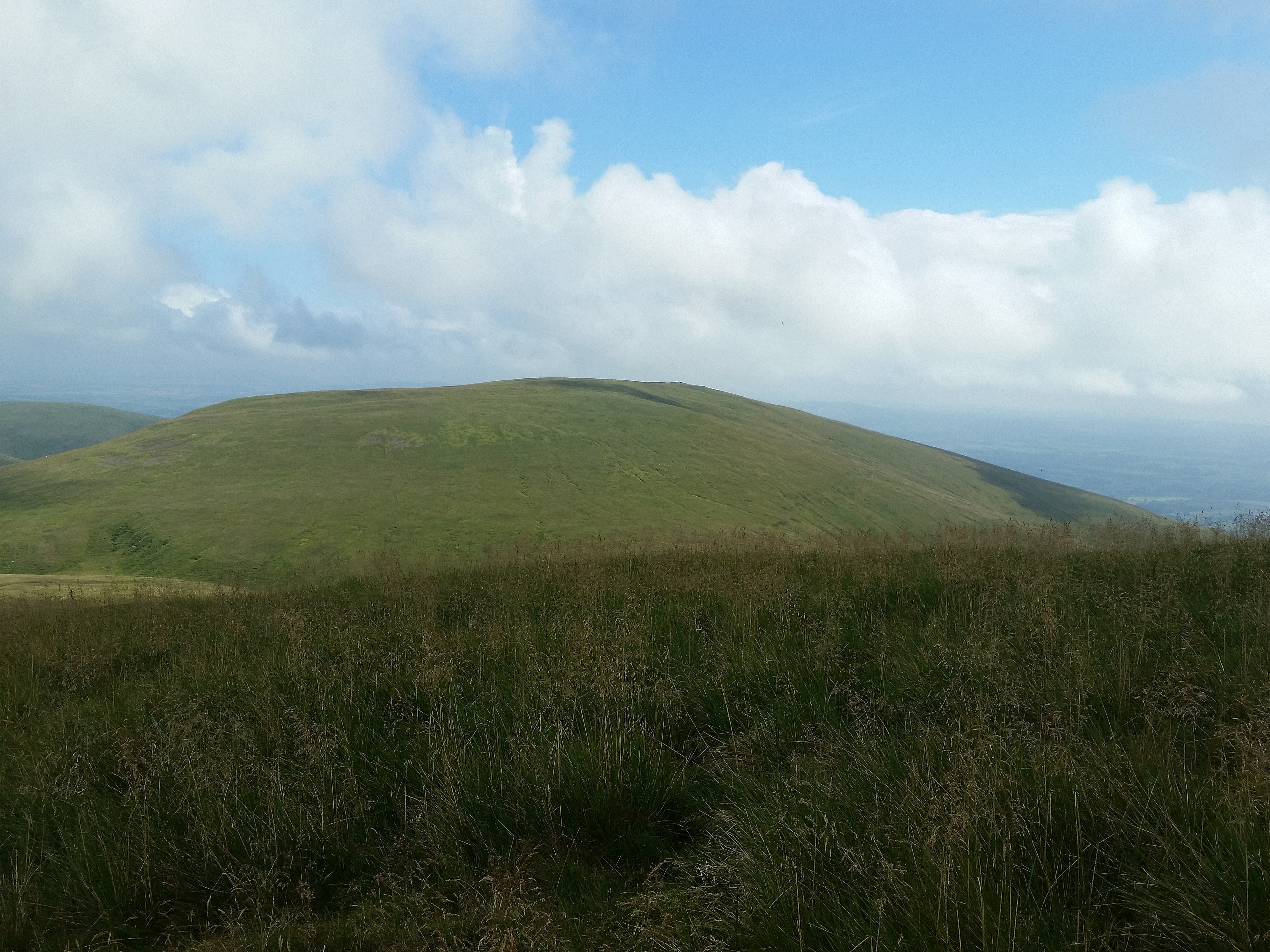
King’s Seat Hill from the summit of Andrew Gannel Hill which is passed en route.
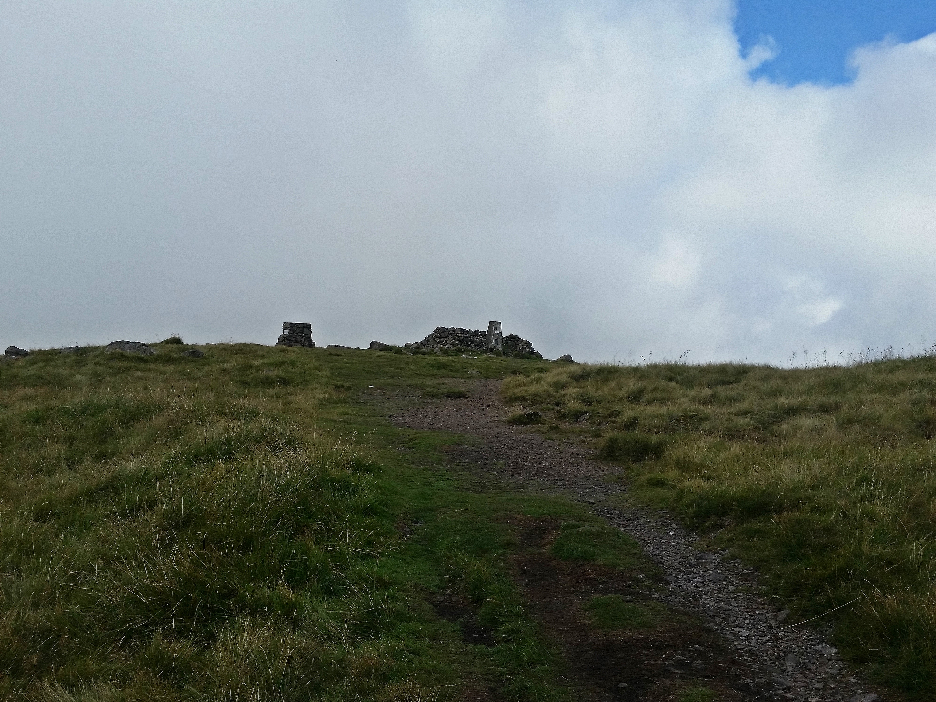
It was 13:28z when I reached the small summit cairn on King’s Seat Hill GM/HSS-184 which was my 100th HEMA summit. By now the breeze had increased considerably and although the cloudbase was quite high, there were some rather dark ominous clouds overhead. I checked the summit grid reference and then moved south off the path to set up. With no shelter and no fences on this summit, I guyed the pole and hunkered down. Since I had a little time in hand, I decided to put both the HF and 2m antennas up, although I didn’t actually get onto 2m on this summit.

King’s Seat Hill summit cairn.
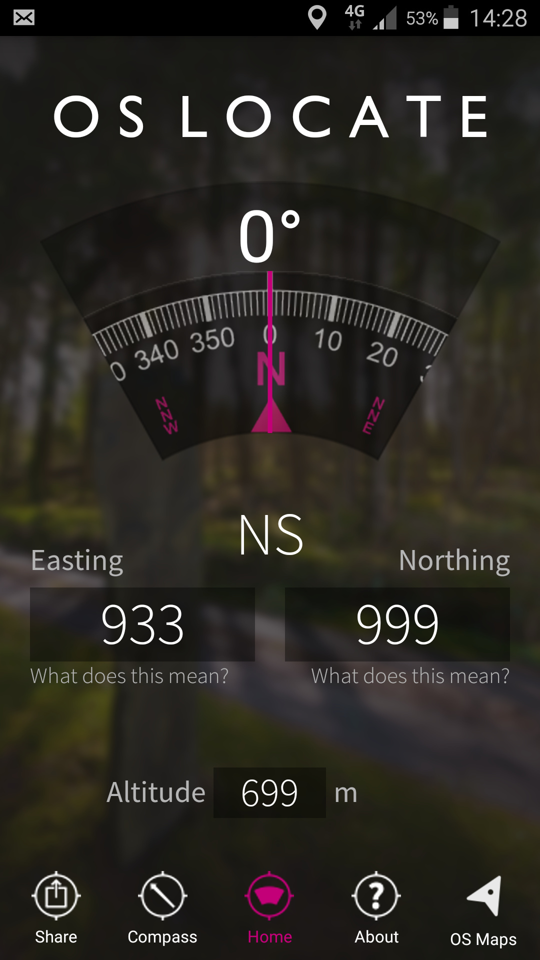
Yes, just in NS99. The altitude is actually 648m.
Once again I started on 60m SSB where I worked a total of 5 including Paul G4MD. CW produced a contact with Roy G3FYX before I moved to 40m SSB where another 6 were worked including Laurent F4HZN. The skip was longer than earlier in the day. I decided to call it a day at 15:20z as I didn’t want to be too late back at base.
Set up on King’s Seat Hill,
I set off back to the car at 15:45z. The descent was straight forward and reasonably pleasant, if not a little too warm as the cloud had now started to break up. I stopped at a convenient seat to phone the XYL when I was within a kilometre of Tillicoultry and after that it was a gentle saunter down to reach the car at 17:12z.
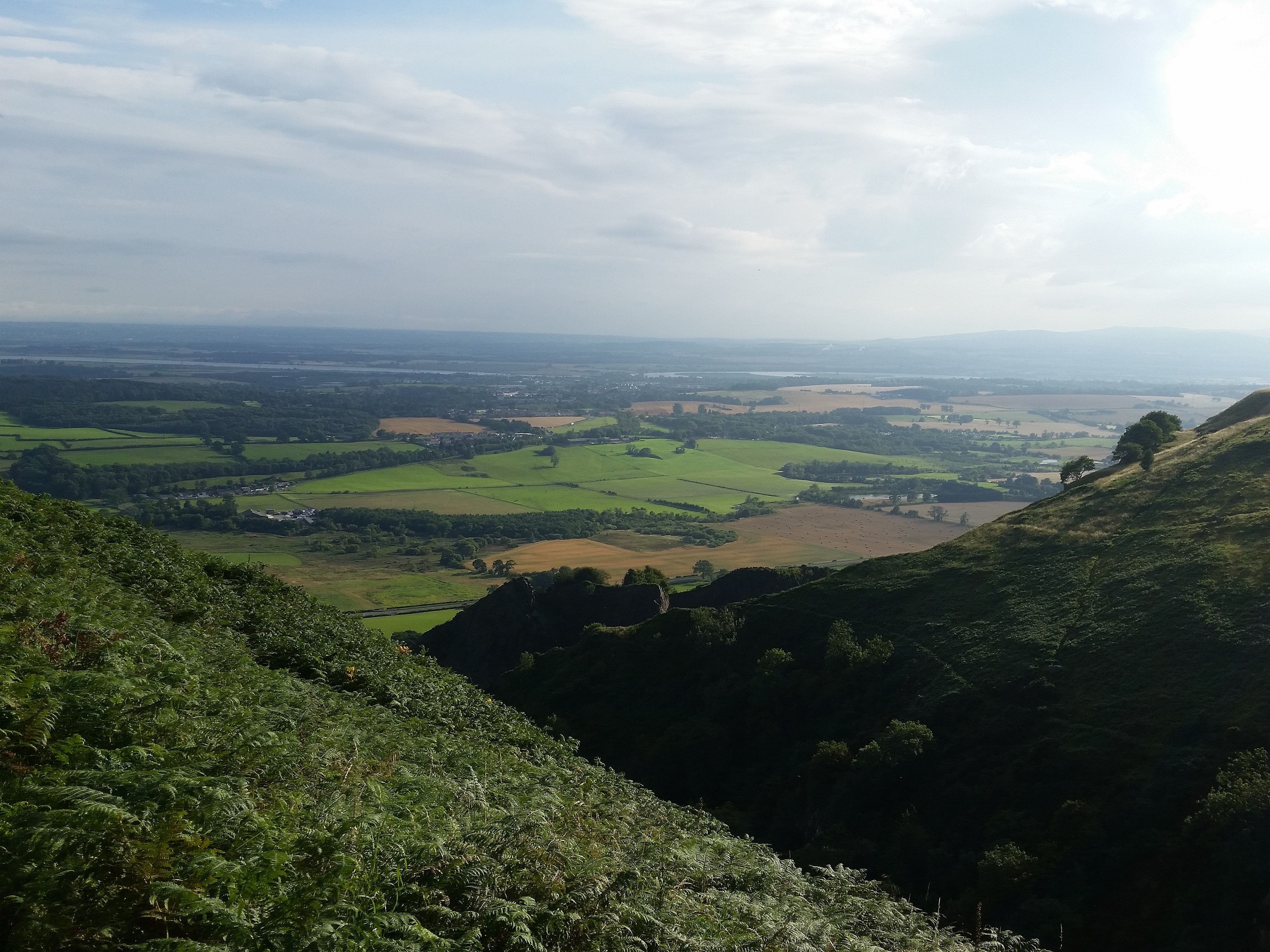
View of the ascent route above the waterfalls taken from my descent route.
Approaching the final section. Excellent views to the south.
The journey back to Amble was pleasant, if a little slower on account of the amount of traffic. Thankfully the weather held and it only started to rain about 5 kilometres before I reached Amble.
Many thanks to everyone that came on to work me. I really enjoyed being back on the hills after the break. Hopefully it won’t be long before the next time that I can get out.
73, Gerald G4OIG
