Ara’s work motivated me to see what’s possible using high resolution DEM data. For HB, this has been made available for free half a year ago as part of an Open Government Data initiative. swissALTI3D has a spatial resolution of 0.5 m and an accuracy of ± 0.3 – 3 m (1σ), depending on the region.
SOTLAS can now show activation zone boundaries calculated using this data. If you want to try it, simply open the map options menu in SOTLAS (top left corner), change the map type to one of the swisstopo maps, and enable the “Activation zones” option. Perhaps we can also add such polygons for other associations in the future if free high resolution DEM data is available.
© swisstopo
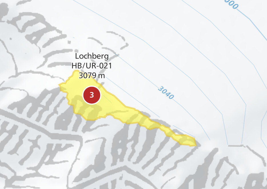
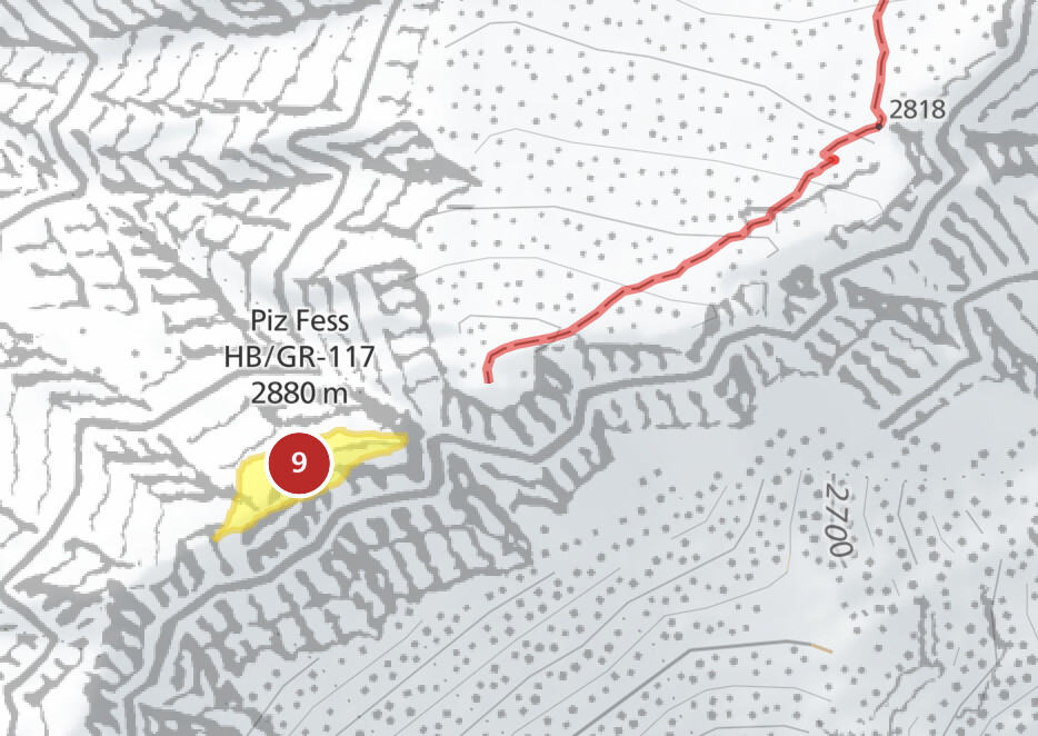
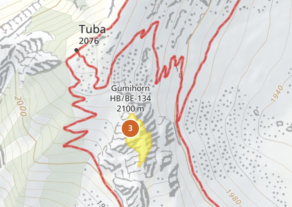
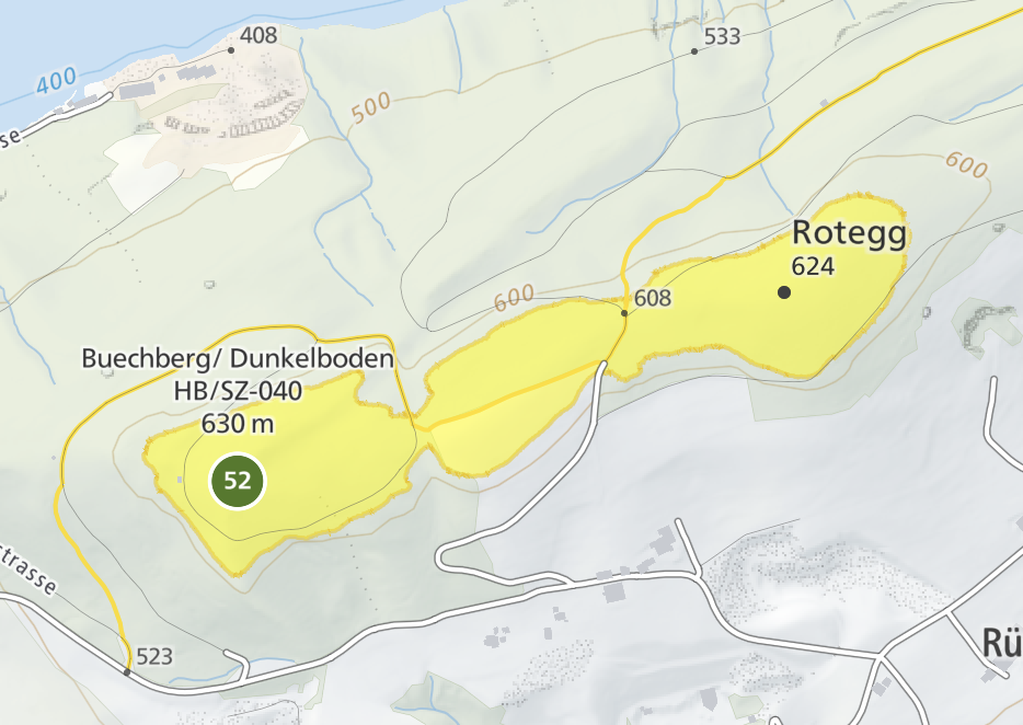
We now also know which HB summit has the smallest activation zone. It is this one:
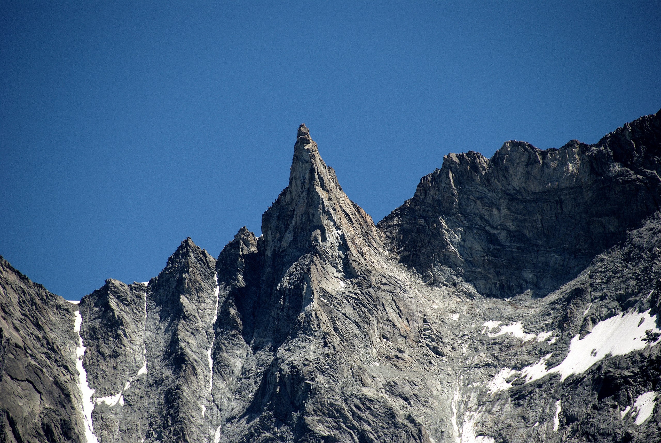
Aiguille de la Tsa (HB/VS-070) 3668 m
Photo by Henk Monster, CC BY 3.0
73, Manuel