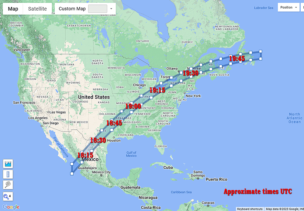
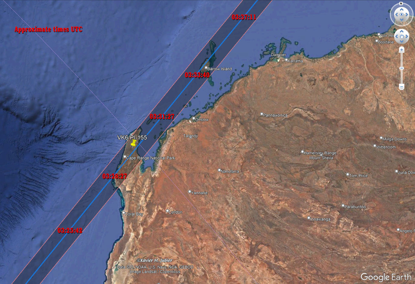
I noticed yesterday in an article in the phys.org site that two eclipses of the Sun will soon occur over the continental USA, one in 2023 and one in 2024. The 2023 eclipse, on October 14 2023, will not be quite total, but “merely” annular, meaning that at maximum coverage of the Sun’s disk, a bright ring will be visible around the Moon’s entire disk - this should in any case be spectacular!
I remember a few years back I produced coordinates for a Google maps polygon for another eclipse describing the area of maximum coverage, so that SOTA activists could identify SOTA summits within that range, and so that they could plan activations around the local time of the eclipse on summits within the range described by the polygon.
I’ve now extracted the coordinates describing the Google maps polygon for the 2023 eclipse, and these may be entered into the SMP range page. Those interested will
- open the SMP range page,
- click the “Define range ⨠” button ,
- choose “Polygon” from the “Range type” dropdown,
- activate the “Enter polygon data as text” radio button,
- and enter the following text - as is - into the text-box provided:
45.5754, -126
44.8693, -124
44.1157, -122
43.3834, -120
42.5263, -118
41.6028, -116
40.6116, -114
39.5687, -112
38.4768, -110
37.209, -108
35.9148, -106
34.5321, -104
32.9872, -102
31.3596, -100
29.5774, -98
27.7744, -96
25.2727, -96
27.275, -98
29.0071, -100
30.6313, -102
32.1602, -104
33.6601, -106
34.9612, -108
36.2097, -110
37.3334, -112
38.3663, -114
39.4059, -116
40.3135, -118
41.2121, -120
41.9732, -122
42.6978, -124
43.4381, -126
and finally click the “Map ⨠” button to find all SOTA summits found within the polygon.
It may happen that an error message “Polygon extends too far!” will appear, but this can safely be ignored - I believe the script is simply checking how far away from any SOTA summit the polygon reaches at its’ furthest extent. When I tried this today, the script found over 2600 summits, which appears to strain the script somewhat, but they eventually appear on the map ![]() . (Hint: the summits load more quickly if one de-activates the summit-code labels checkbox, to be found in the “Icons” map control in the upper right-hand corner of the map.)
. (Hint: the summits load more quickly if one de-activates the summit-code labels checkbox, to be found in the “Icons” map control in the upper right-hand corner of the map.)
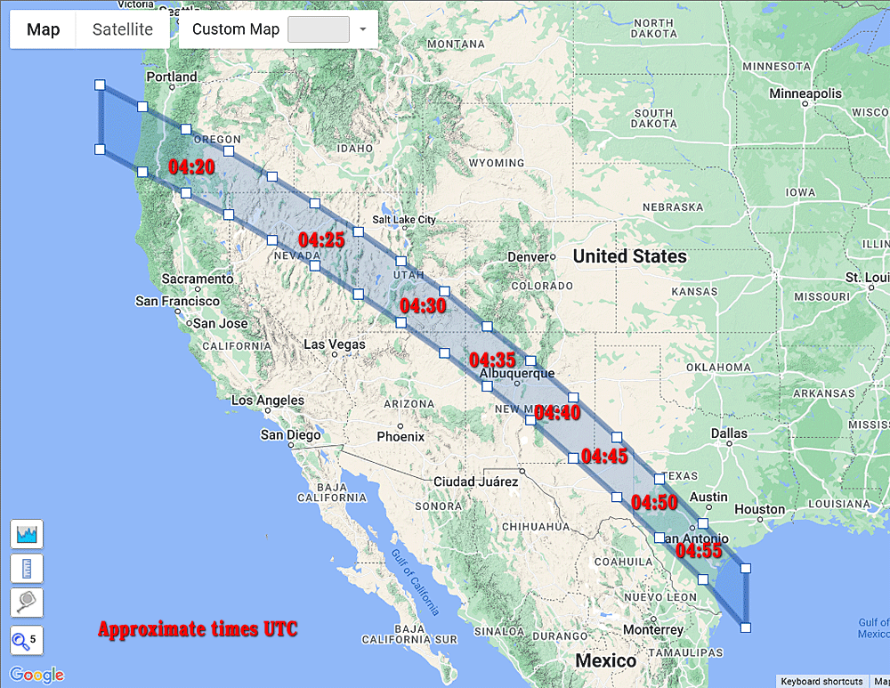
The polygon describes the area of “totality” - in this case where a full bright ring can be viewed at any one time, but outside of this area the eclipse will still be visible, although partial. The range of partiality extends several hundred miles north and south of the “corridor of totality”, so activists can still make contacts while viewing a partial eclipse in this wider area.
I hope this may prove of interest to some activists out there - I’ll get around to producing a similar set of coordinates for the 2024 eclipse, which will be total and again viewable from the USA.
Rob