Trip 3: Eastern Kakaunui
This third trip was even more speculative than the first. Some may recall my previous attempt to traverse the Kakaunui Range in winter - stopped by soft snow after 3 days, having failed to reach the Day #1 objective of the Half Moon Hut
Legal access to the Kakaunui Conservation Area exists in several places off the Pig Root highway. The designated route in, when the park was created, was up the legal road to Mt Obi. True to form, this legal roadline differs widely from the formed farm track, so DOC set off to survey and mark the legal road when the park was created. The adjoining landowner (currently using the crown-owned roadline for unofficial grazing) threatened to pull out the survey pegs, and the whole matter got passed on to the Walking Access Commission where it has languished ever since. Given the above conflict, I’ve been uneasy about using the official access route ever since. Having the law on your side does not always count for much when confronted by an angry cocky, as our Welsh friends have been recounting recently.
A couple of creeks have crown owned marginal strips that may also provide access - but both are steep and tight, and such legal access is only 10m either side of the centre-line, meaning that whilst legal, access may not be feasible.
Finally, there is a 2nd documented access from the Oamaru side: a public access easement from the end of the legal Black Cap Road**. However, again the legal and formed roads diverge in places, and a locked gate many kilometers before the end of the road is a real possibility.
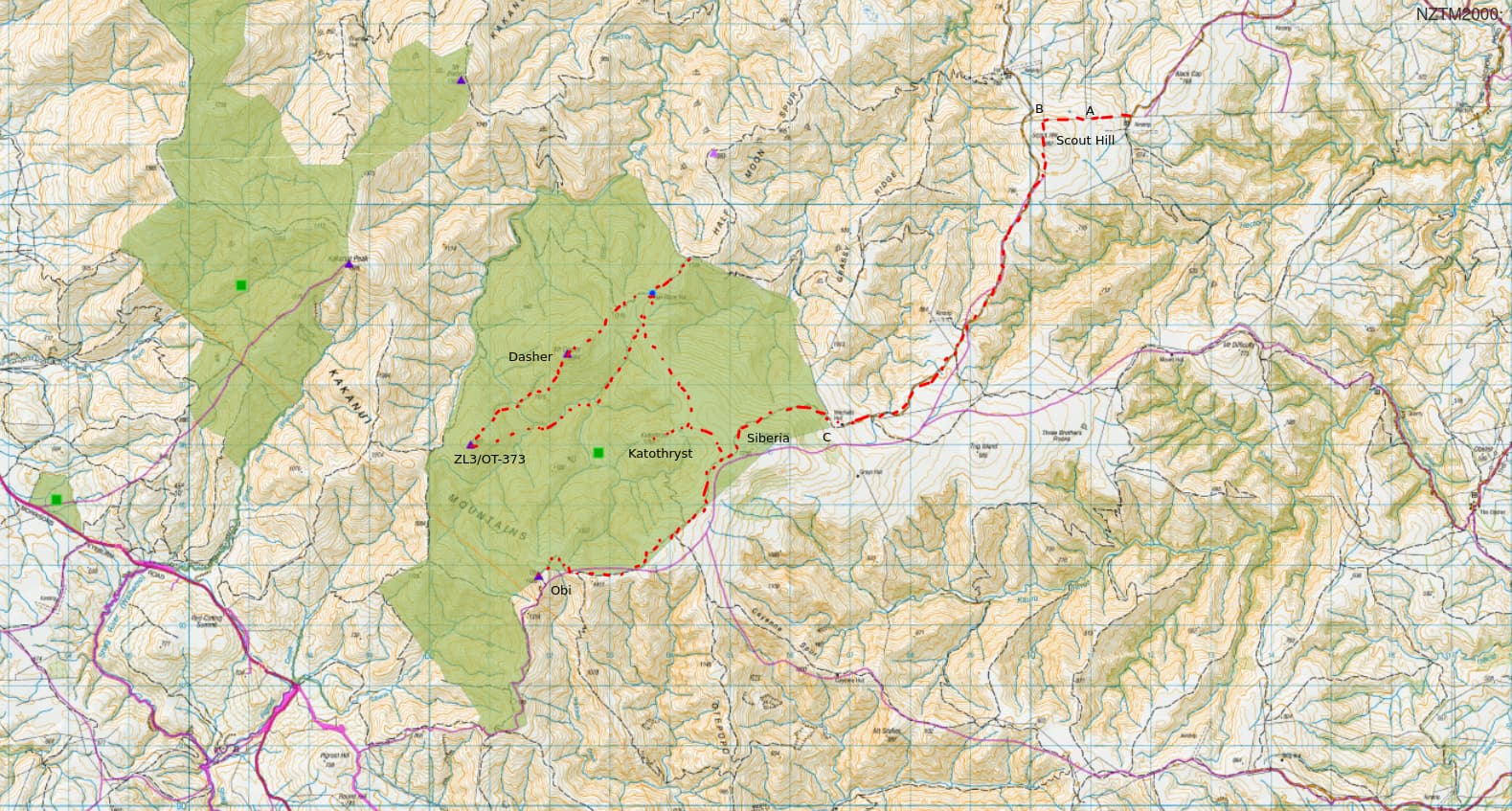
Green - public conservation land, Pink - legal roads
Day 1
I set off early Saturday morning to scope it all out and see if any of the above are possible, a 100km drive to the stone fireplace that marks the former Pig Root Hotel site.
- A farm vehicle and quad-bike trailer is parked at the bottom of the creek access, clearly farm activities are in progress up there.
- Pregnant ewes are grazing the flats at the base of the legal road
Stop, scratch head, think.
- A quick check with Waitaki District Council confirms that they grade / maintain Black Cap Road all the way to the airstrip where it ends - meaning it should be public and open. Great!
A further 100km drive follows, to the coastal town of Palmerston, skirting the eastern end of the Kakaunui range, and approaching again from the North-East. True to their word, the council-maintained road runs all the way to the airstrip, and we park up on the verge and finally set off on our walk. 11 am.
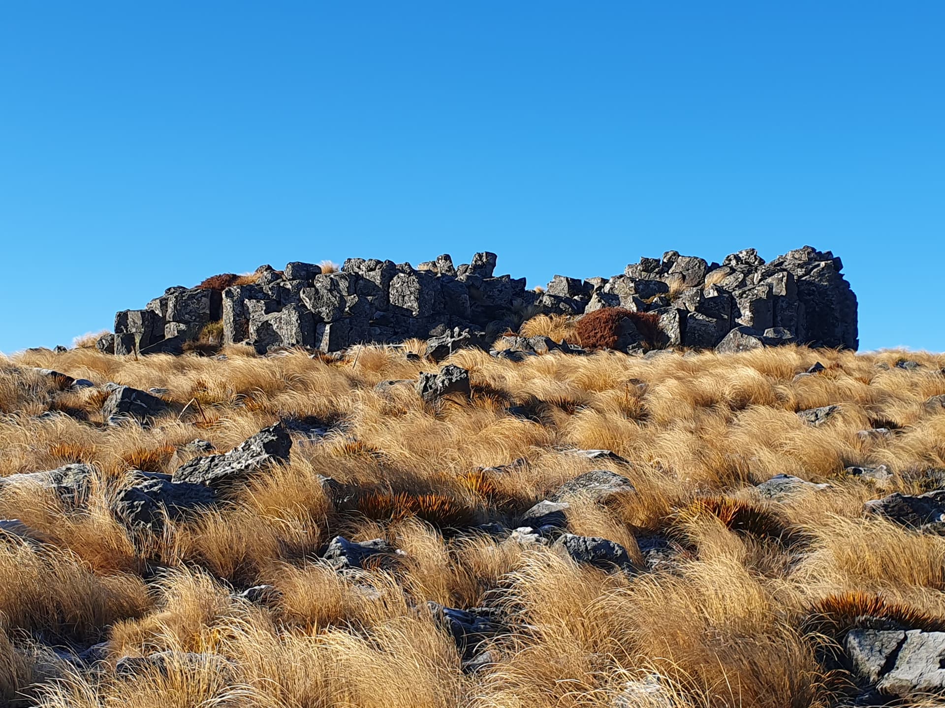
The ‘ABC easement’ follows the dog-leg fenceline** east then north over Scout Hill, its summit crowned with more basalt organ-pipe rock formations and volcanic debris.

Scout Hill, ZLV/DUN-055
Scout Hill is known as ZLV/DUN-055 in the ZL Volcanos programme. and I stop to activate it - finally we’re playing radio.
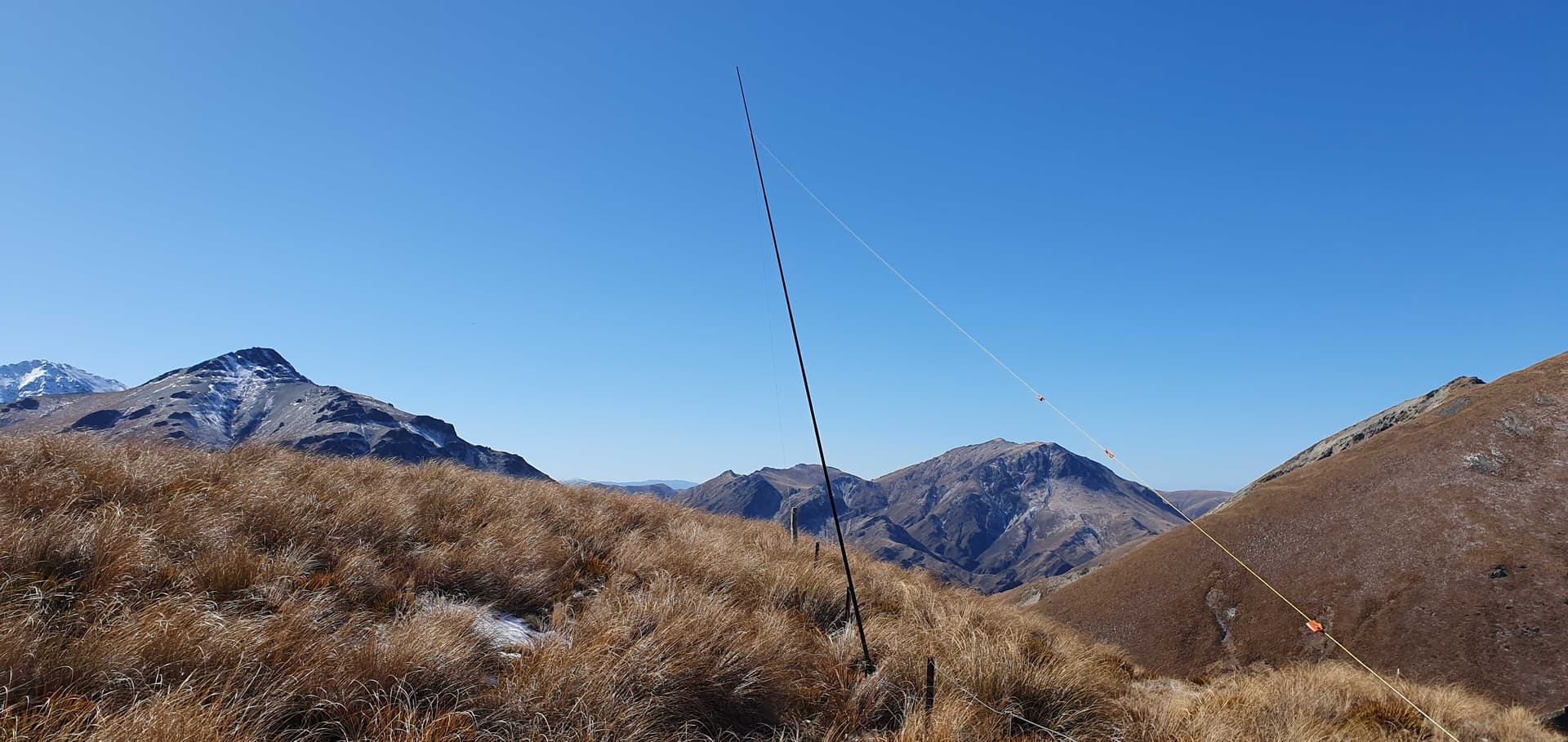
Joining a farm track, a further 8km of good walking follows to the park boundary, climbing steadily but easily. The private Mitchell’s Hut site just outside the park, and looks well built and tidy. Gale force winds greet me as I hit the ridgeline and follow it a further 6km to Mt Obi, then final 2km on crisp old snow.

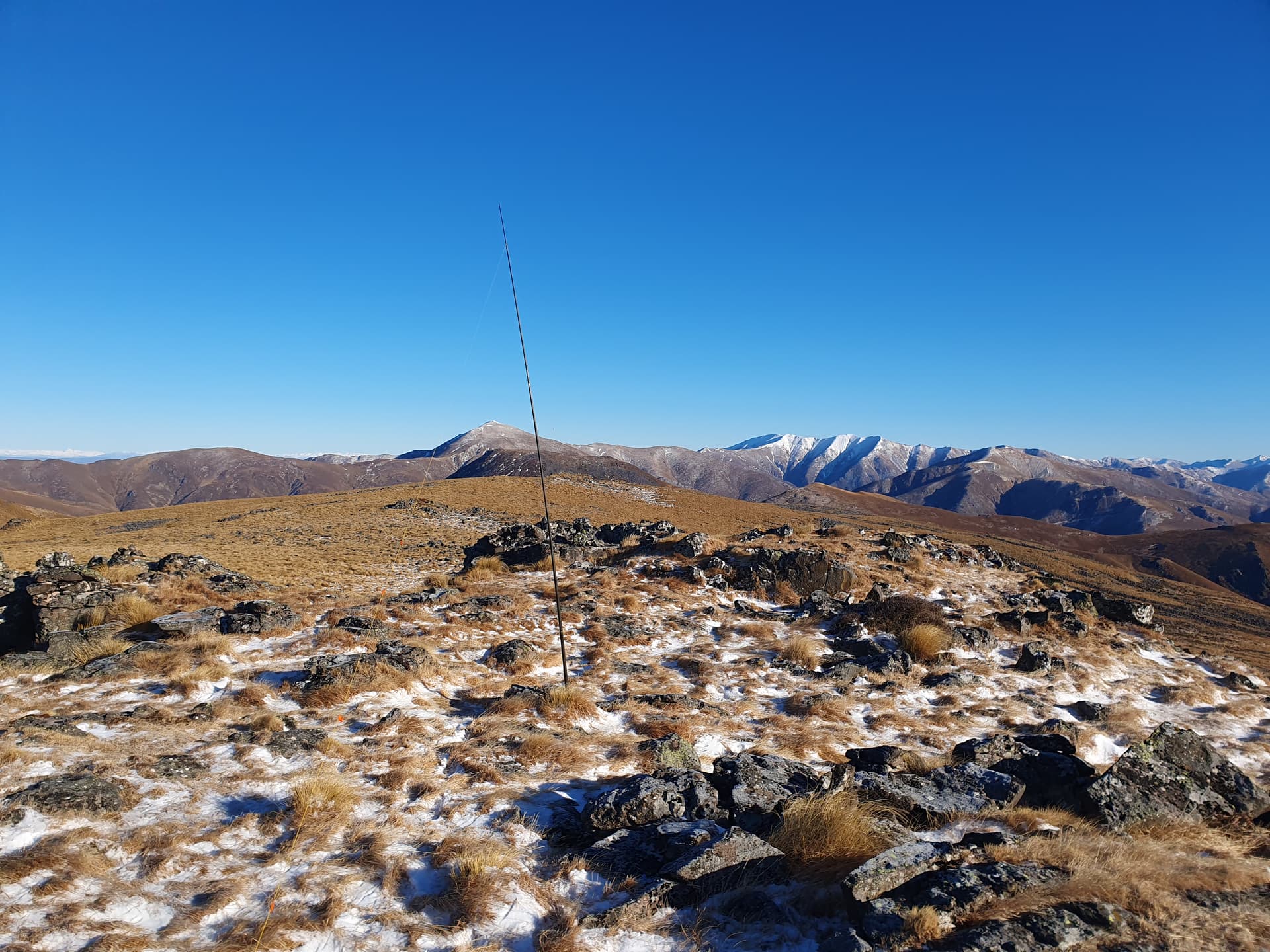
Mt Obi, ZL3/OT-343 - Hiding behind the repeater shed
A walk-in freezer serves as the repeater hut, and provides some shelter from the howling wind, which whistles and moans through the rigging. The SOTA-pole, half-extended gets stropped to a fencepost, directly downwind, and the activation commences. By the time the callers start to drop off on 40m, I’m keying the mic by squeezing it between my two hands - there is no sensation left in fingers, and my logging has gone to pot. Still, I alert on 20m and bring in another 11 callers before I finally call it quits. I end up resorting to using teeth to unknot the guys from the fenceposts.

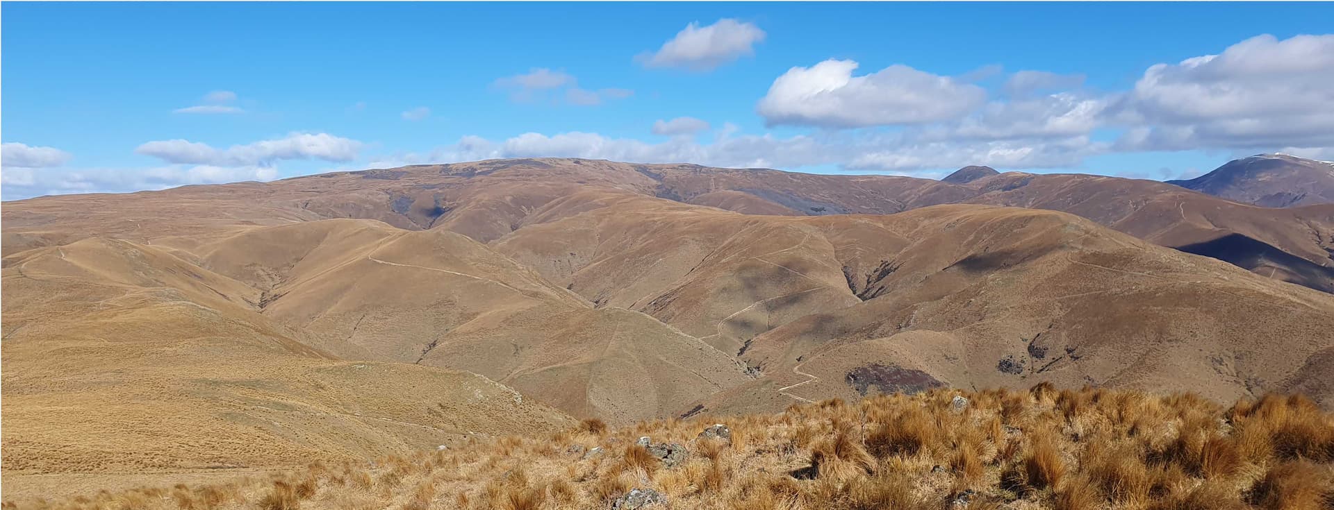
Pacific Ocean, Waitaki Valley and Katothryst from Mt Obi tops
The views as we walk back down the track towards the turnoff to Half Moon Hut are stupendous. The high plateau is not only dissected by deep creeks, but dotted with the conical remnants of old volcanos. Deep reds and browns of volcanic rocks contracting with the usual weathered grey of the schist. Golden tussock spurs descend to the rich green expanse of the Waitaki Valley, beyond it the glinting blue expanse of the Pacific Ocean.
We turn off 2km before hitting the park boundary and drop down Half Moon Spur towards the hut. The most prominent volcanic core, Katothryst, lies just south of our path, and deserves an activation.
Katothryst, ZLV/DUN-028
From a 7am departure, it’s 5pm when I reach the hut, the wind swirling and battering the tussock, rattling the iron roof and walls. A quick wash under then tap to remove the sweat of the day, and a rough antenna deployment along the fenceline, and we’re inside, into warm dry thermals, and dinner is on the stove.
20m opens to the EU around 5:30pm and we play with the DX for half and hour, netting 14 calls and 8 European countries, before switching to 40m for an evening catch-up with the local callers.
Day 2
Snow falls overnight, a 60mm coating at 3am when I briefly wake. By 6am the wind has picked up, 50kph, gusting to over 100kph - crouch-down and hold-on stuff. The show swirls and blows - the hut vestibule full of the stuff as it filters in through unflashed roofing-iron ends and ill-fitting doors.
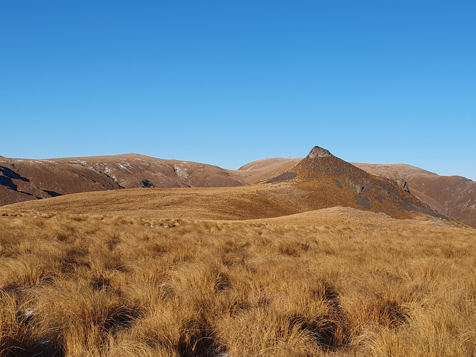
Mt Dasher (left), Katothryst (right)
It takes some convincing, but I finally head out the door at 8am, bound for Mt Dasher 2km away. I’ve neglected to bring gloves, but some spare woolen socks make effective, if clumsy mittens. I allow 1hr for the untracked trip in the snow, but the wind has blown the exposed ridgeline clear and I make fast progress, summitting by 8:30am before scuttling quickly down in the sheltered lea before setting up for the days first activation - antenna strung low between summit rocks and a low bush on the terrace below. there’s a bit of QSB on your signal …
Activating Mt Dasher - ZL3/OT-359
Temperatures are well below freezing - my water bottle has part frozen in the half hour from the hut, and the 50kph+ winds add a good wind chill factor despite the low humidity. So the activation is brief - five in the log in 10 minutes before frosted hands say ‘no more’ and we pack up and re-don the socks!
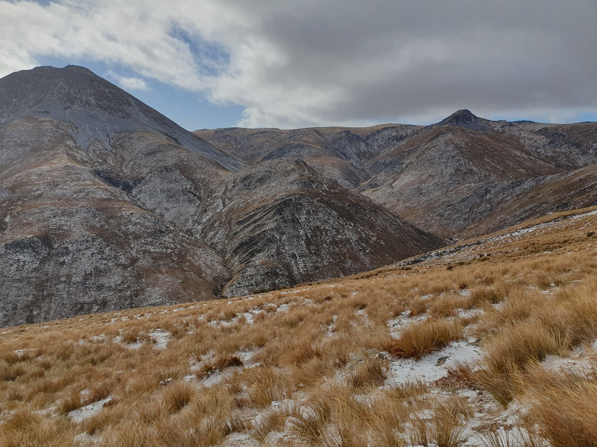
Mt Dasher (left), Half Moon Spur (centre) from ZL3/OT-373
Loose volcanic scree, coated in snow and ice, drop steeply into the head of Deep Creek, making for a tricky descent, even with the aid of the ice-axe. The buffetting winds do not help - clinging to tussocks is fine, until you run out of tussocks. But I make it to the shelter of the valley floor in one piece, and ascend the more protected face beyond to the 2nd summit of the day: ZL3/OT-373. I’m 2 hours early for the activation, it being only 10am, but a good number of chasers are around, as well as a couple of summit-to-summits with other ZL activators. The cold, again, forces me off the peak without attempting 20m for contacts further afield.

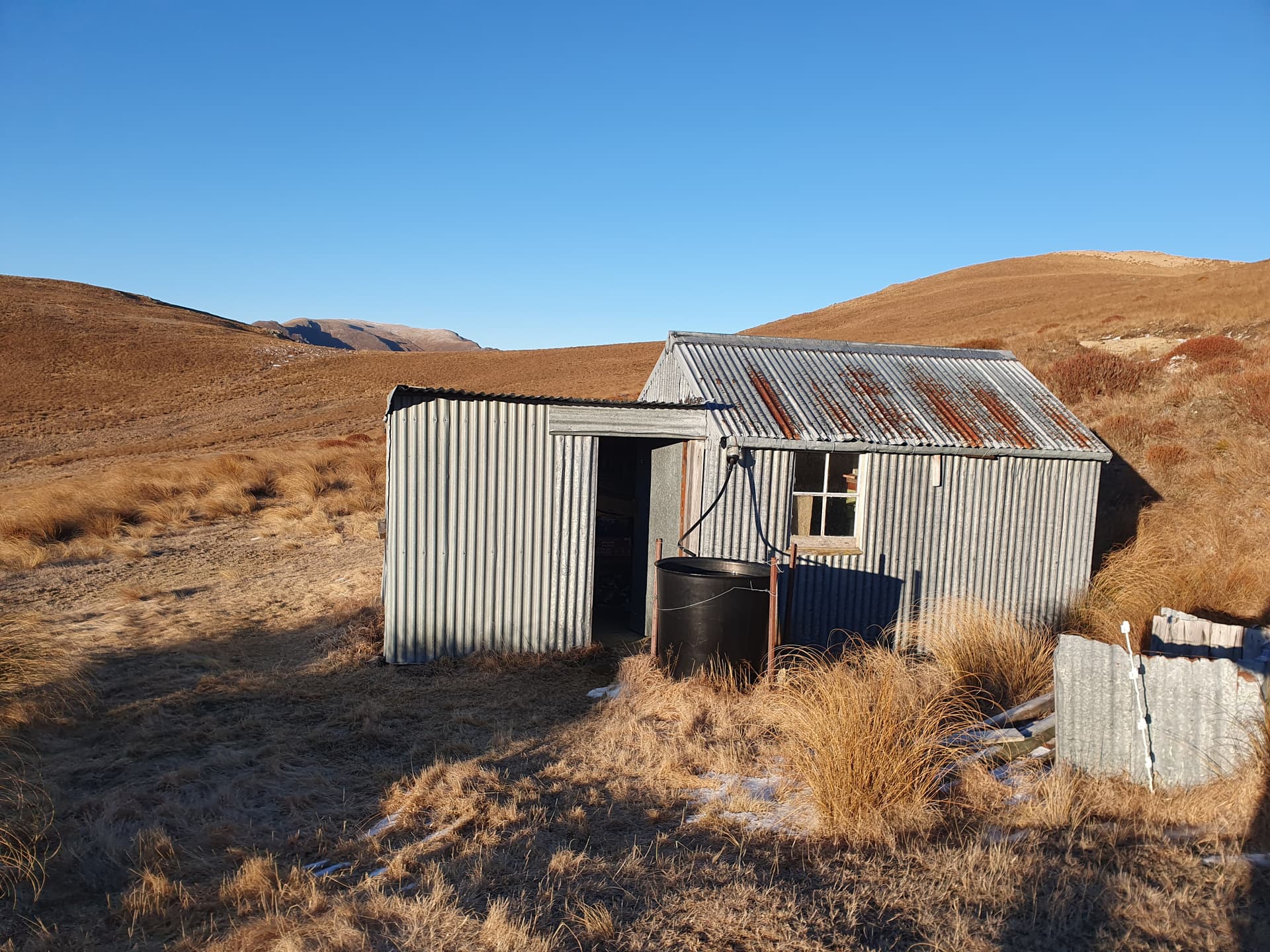
Half Moon Hut - home again!
Day 3
Day three was intended as an easy walk out, back up Half Moon Spur and down the access easement. However, nearing the track, I stumble on the basalt core of Siberia Hill, another ZLV/ volcano - sited some distance from where maps suggest. Another activation beckons!
Siberia Hill #1 - ZLV/DUN-028
Despite the delays, it’s barely 10am when I arrive back at the truck and start off down Black Cap Road - time to squeeze in one more on the way home?
I’m stopped 5km down the road by a cocky in a tractor.
- Did you have permission to be in there? - forcefully spoken
I explain that I’ve followed the ABC easement from Black Cap Road into the Kakaunui Conservation Area, and that no permission should be required. The information came from LINZ, the official registrar of land titles in NZ, and the definitive source.
- The government have stuffed up. There’s never been legal access through there - and we start down the age-old conversational path.
I’m privately skeptical** - how many times have we heard that story (e.g. the Welsh example cited above). But remain polite, and stick to my point that I’ve done my best effort to check with the authoritative source for access rights, and followed the information they give. The tensions ease and the argument becomes a conversation, the farmer re-iterating that the easement ends at his property boundary and the legal road ends at the airstrip where I parked, and - despite what LINZ say - there is no legal road for the 600m between the two. We part on good terms, with promises to contact ‘The Hectors Station’ if I want to return, and to pass that information on to any who needs it.
I’ve been longing for coffee, dreaming of its taste and smell, but there are no cafes, no businesses at all along the Kakaunui Valley Road and all the way to the provincial boundary at Dansey’s Pass, so I stop at the summit for a brew of instant and some toasted peanut butter sandwiches on the gas stove.

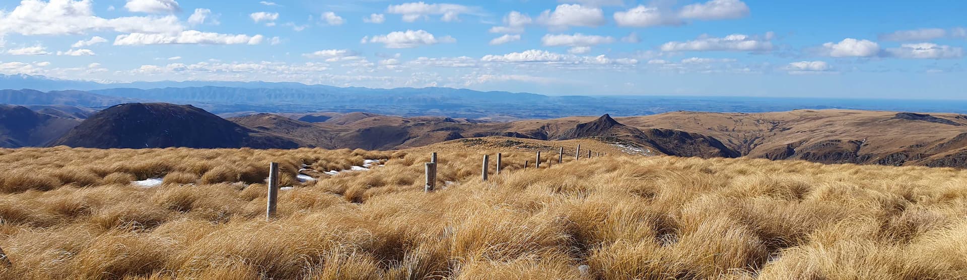
Views along the Kakaunui range towards Danseys Pass from Half Moon. Mt Cook peeking over the horizon
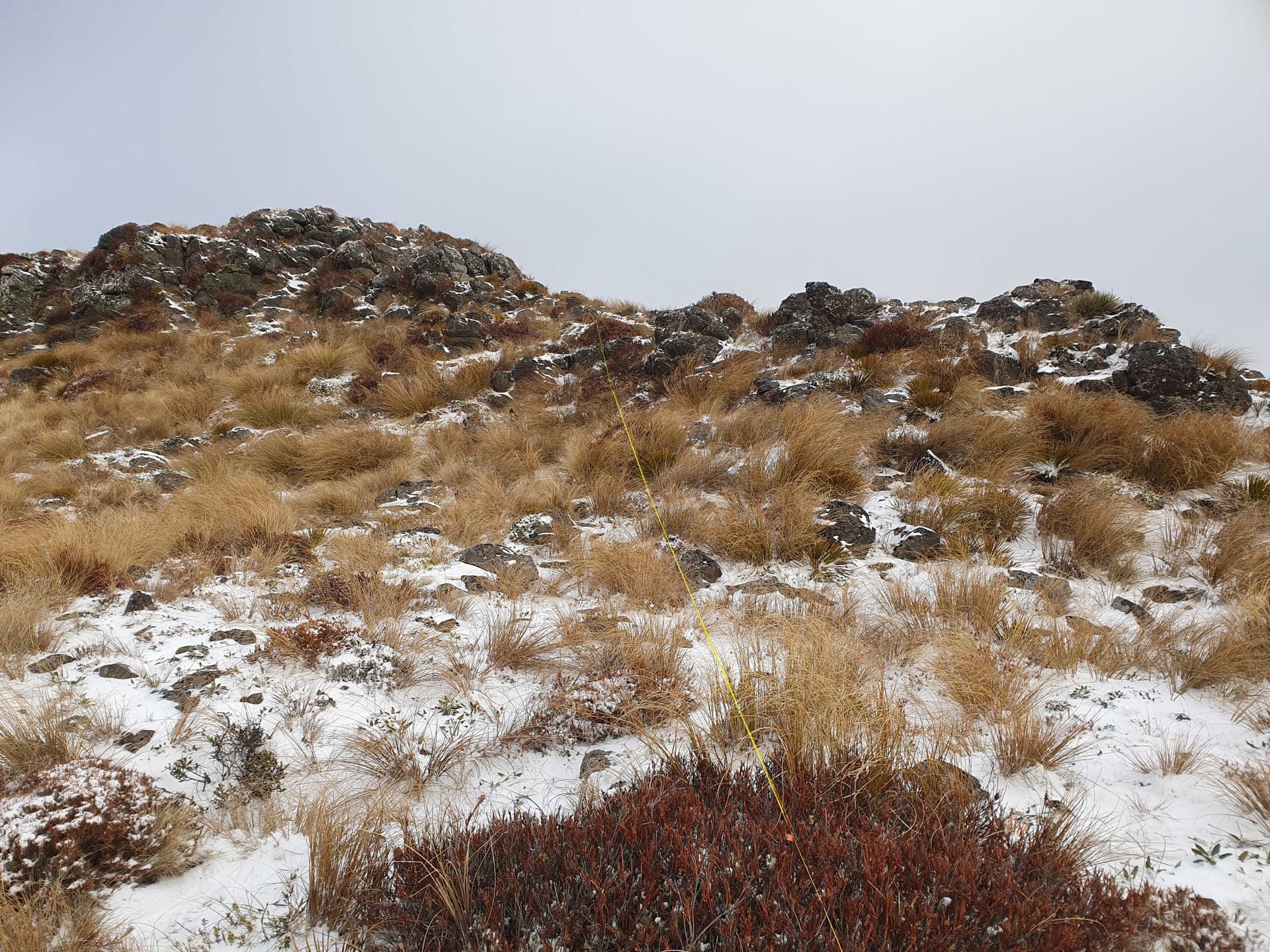
The site of ‘the summit that got away’ is 2km down the Otago side of the pass, and I pull in again at the cattlegrid, 3 days after my last visit. Drop down the old zigzag-track over the creek and climb the dense tussock slope to the summit of ZL3/OT-530.
Activating ZL3/OT-530
The wind this time is gentle, the sun shining, and I finally qualify the summit with 14 contacts, no losses, breakages or failures to report!
On arrival home I bring up mapspast and check out the cocky’s claims. To my surprise, he looks to be correct: LINZ most likely have stuffed up. Older cadastral maps show a property boundary running along the 600m of fenceline (solid line), and also the boundary of the Dunedin Mining District (dashed line) running parallel to it. At some point after 1949 the dashed line on the maps has transformed into a 2nd solid line - two side-by-side solid lines indicating (probably mistakenly) a legal road. So LINZ may have indeed stuffed up, and for once the farmer was quite likely right is saying that the legally documented public access does not exist (for the first 600m from the roadend).
** So for any that follow in my footsteps, you need permission from The Hectors for the first 600m of your 20km walk in to Half Moon Hut.