I’ve read that the list of Scottish summits between 600 m and 762 m high (was 2000’ to 2500’ but now a metric list) has been revised. There are a few new ones and it looks like some changes due to prominence and a few minor spot height changes to existing ones. Worth a look for anyone who is ticking these off from a hill walking point of view.
This is listed as a 2022 publication, so I wonder if it will result in any changes to the GM SOTA summit list?
There is already one change that needs to be the GM SOTA list as Guir-bheinn GM/SI-142 is no longer a Marilyn, but wasn’t deleted as a SOTA summit when the GM update was made last year. Not sure as to when the Association Manager Andy @MM0FMF is planning to delete this SOTA summit, but he has said previously that he’ll delete this SOTA summit whenever he likes which probably means that he won’t delete it until he has activated it himself.
I don’t think the update has found any new Marilyns. I’m not sure whether there are any significant height or position revisions either.
As GM AM, I exercise a considerable degree of laisez faire when changes are found. This is because most of the changes involve summits moving a few metres or the height changing by less than a metre. If a summit’s prominence reduces by 53cm such that it has 149.6m prominence then, yes it needs to be removed. But the effort needed to climb it has barely changed unlike say a summit being found to only have only 31m prominence. Likewise, adding new summits is not urgent when there are still unactivated summits even when the spectacularly difficult sea stacks at St. Kilda are excluded. In addition we have a relatively low number of activators to number of summits in Scotland, there aren’t hundreds of people activating summits which no longer fail to qualify. So the urgency to update the list is not there. And also, I’m not addicted to finding something to change every year or doing any updates precisely every 365 days, 5 hours, 48 minutes, and 46 seconds.
ISTR the Giur-Beinn change was published when I had prepared the list of changes to GM. The prominence was 150m and now is a bit less. It has stayed in because, as stated above, the change doesn’t make a real material difference to effort needed to summit, I’d got the file changes ready and I’m inherently lazy, I knew the Andre Saunders GM3VLB SOTA Island Award was starting on Jan 1st 2022 and it’s been activated 3 times and not for 9 1/2years. There’s hardly a conga-like procession of activators making their way across the lovely ground of Northern Islay. Having it in place still is not skewing the SOTA stats in any noticeable shape or form due to the fact nobody is interested in it.
I did like the following passage in the new publication
“Some of the toughest terrain in the whole of Scotland can be found in the Galloway hills
(SS04), where it is advisable to make use of any approach paths rather than risk a shorter
and more direct ascent over arduous, energy-sapping vegetation. The walking in this area
can be far rougher than in Knoydart or anywhere in the Highlands, but with careful choice
of route it is possible to reach the top of all the Grahams while avoiding most of the worst
terrain.”
To quote your quote - we are in amongst these hills every November for the Borders Hill Rally. Actually, right at the foot of Corserine GM/SS-033 but I’ve never had any free time to activate them. One of my Rescue Team colleagues is from these parts and is a member of the local MRT. He was showing me various routes, bothies etc and pointing out various features on my digital map. He went on to tell me to avoid attempting a crossing of the notorious floating bog to the east of Craignaw GM/SS-096. “Don’t even think about it”, he said!
TBH I don’t think I’d cross it, animal tracks across it or not.
My intended Mullwharchar route was to cycle to near NX472864 and then walk through the forest rides and attack the better (well not so boggy) ground on to Brishie thence loop to Mullwharchar summit proper. Maybe next Easter.
Taking note of the mentioned “Laisser-faire” and having some accounting background I would recommend to round figures following the commercial rules, so 149.60 being 149.50 or above would result in 150 i.e. a valid prominence, hi. Or with some minor Latin background: “In dubio pro reo”!
These changes in the UK are measured using survey grade GPS equipment where the accuracy in horizontal positioning is 3mm +/- 0.1ppm and vertically 3.5mm +/- 0.4ppm. It’s a bit rum to round to the nearest metre in that case.
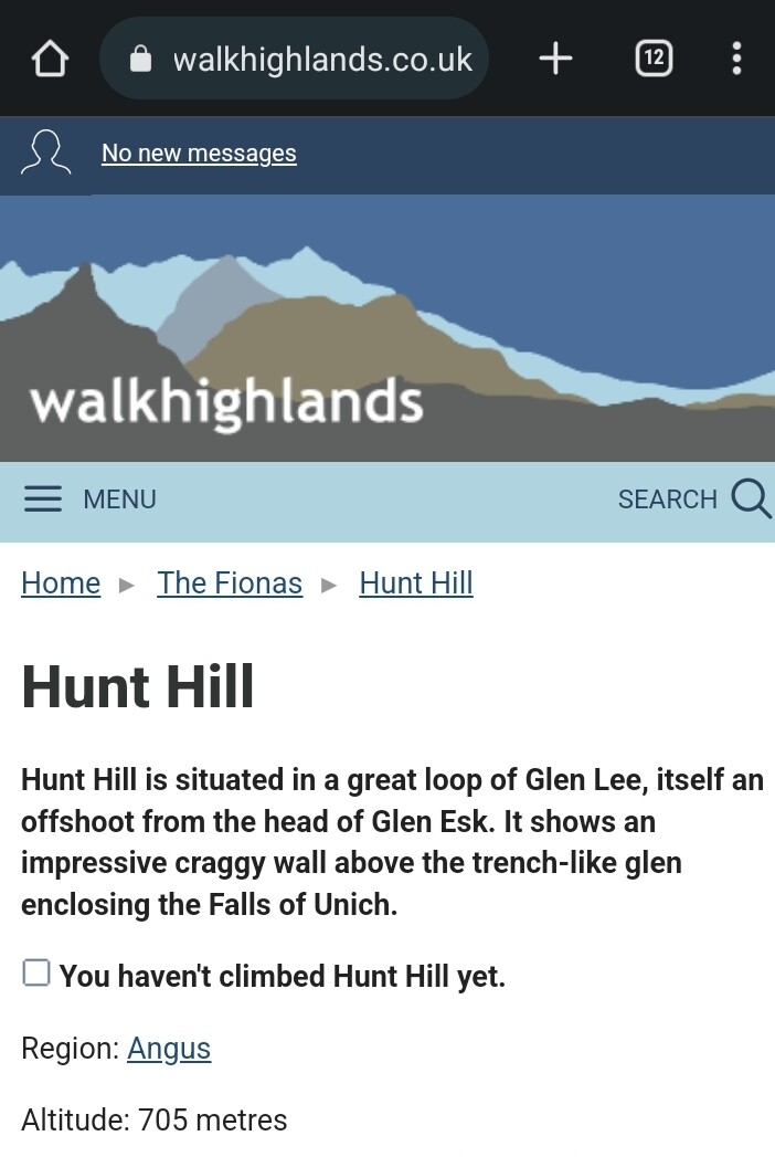
In an update to this, it seems there has been a huge fall out after the keeper of the list decided to metricate the Grahams. Walkhighlands.co.uk have removed any reference to Grahams from their site, as have others. There’s also an issue with the “owner” of the list attempting to charge for the use of the name and list. One site has started calling them Fionas. This is in tribute to Fiona Torbett (nee Graham) who first came up with the concept of listing Scottish hills between 2000’ and 2500’, not 1968.5’ to 2500’ as the mertic version works out.
I think I agree with them. It becomes meaningless if metricated because it only makes sense when converted back to feet.
If there is a place for summits classed by metric height it has to be based on round numbers as are the classifications measured in feet.
So the “equivalent” of a Munro would be a 1,000m** summit but called by a different name of course. A metric Corbett would be 750m with 150m of prominence. The metric Graham rounded off could be 600m but 500m makes more sense.
But I’m not for a moment suggesting this seriously!
** 3,000 feet rounded off is 900m but the top classification would have to be 1,000m.
The whole truth and nothing but the truth! Galloway is the place where I’ve come the nearest to breaking a bone. Tussock-hopping is definitely a sport in its own right. I am looking forward to Kirriereoch and the remaining ‘old’ summit Mullwharchar… but not the Galloway ground.
If I weren’t hooked on Uniques I’d go back to do the lot tomorrow… brilliant ferry, brilliant island, brilliant people, brilliant whisky, brilliant beer (yes!), brilliant week… heck, why don’t I live there.
It’s on my to do list Fraser and I should I have time to do more SOTA now I work part time but events have made that hard since September. It’s meant to be a belter of a hill/walk but make sure you do it in good weather. Do something else if the WX is a bit pish.
It’s still a Graham despite what people think. The list originator allowed a handful of extra summits in by rounding down the minimum height but for a 705m summit, there’s no change. My first OS map was a 1:50k metric map and everything to do with walking has always been metric. Tell me a hill in Scotland is 600m high and I know what it will be like and what the WX will be like etc. Tell me it’s 2000ft and I have no clue what that really means. The only one that has any meaning is 3000ft as you’re talking quite big for Scotland. But Corbetts as 2500ft to 3000ft require mental gymnastics to convert that into something meaningful. I walk in metric and drive in imperial. So it’s a sensible and long overdue change.
As for trademarking the name, well that’s to stop others monetising his work with no payback, good on him. The same reason SOTA has trademarks… we let people use the trademarks for free if they are non-commercial uses.
Alan Dawson trademarked Grahams in 2016 so has anything really just changed?
This is probably the real reason. It doesn’t seem unreasonable since all the maps are metric.
The change was to change the lowest height to 600m, adding 12 hills so the list still makes sense but is more appropriate with modern metric mapping. The old definition used mixed units with feet for the height and metres for the prominence.
What a great idea. That will wind up all the rabid imperial nutters.
We should have eliminated miles, stones etc years ago. Although I have to admit I’d still want pints of beer (imperial not the inferior American type).
The US SOTA list used a definition of 500ft for prominence. We did that for the benefit of US people who are less comfortable with metric. Then we decided we should use 150m (492ft) everywhere and the US gained quite a few new summits as the prominence was reduced. We didn’t get lots of complaints that they didn’t want new summits!
As for the list changing, a fairly typical view amongst hill baggers is that if you start activating Munros on say 1st Mar 2000, then you are perfectly sound to use the Munro list that was valid on the day you started bagging them and you can ignore changes after that. Or there are people who have to match their bagging against the list as they change with or without complaints.
TBH it doesn’t bother me as I have already done 5 of the new ones I think. There are no new Marilyns so there’s no work for me in updating GM