Activation report: the un-activated SOTA summits in the Outer Hebrides
By GW4BML
Equipment used:
- Elecraft KX2 pushing 10w
- 40/20 EFHW antenna
- 6m Carbon pole (SOTABEAMS)
- RS 11.1v li-ion 5.2ah battery
- External mic and Palm Pico paddle
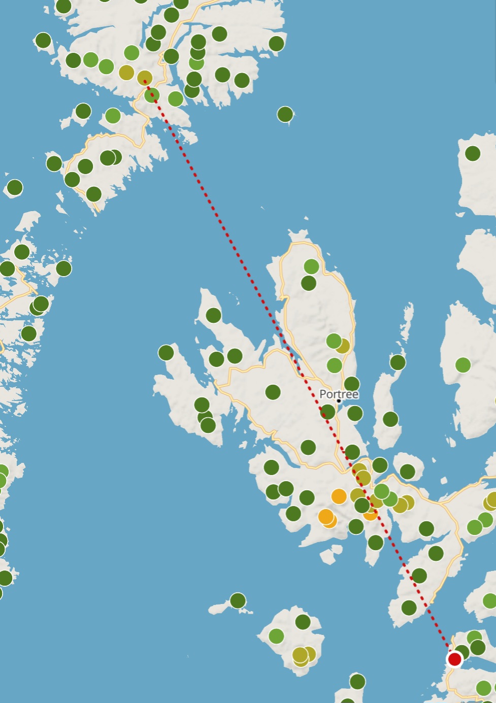
It was months ago when Martha came home from work and said to me “I’d love it if we could all go on holiday to the Island of Lewis and Harris”. I replied “sounds good, but I wonder if there is any SOTA summits on the Island that I could climb…” I did a quick check, and boy o boy, there was quite a few high-lighted red markings which mean’t the summits were un-activated. Martha new the answer by the smile on my face, so I decided to set myself a challenge - I like challenges ![]() I was going to try and activate all the summits on Lewis and Harris, but add Seaforth and Pabbay Island into the mix.
I was going to try and activate all the summits on Lewis and Harris, but add Seaforth and Pabbay Island into the mix.
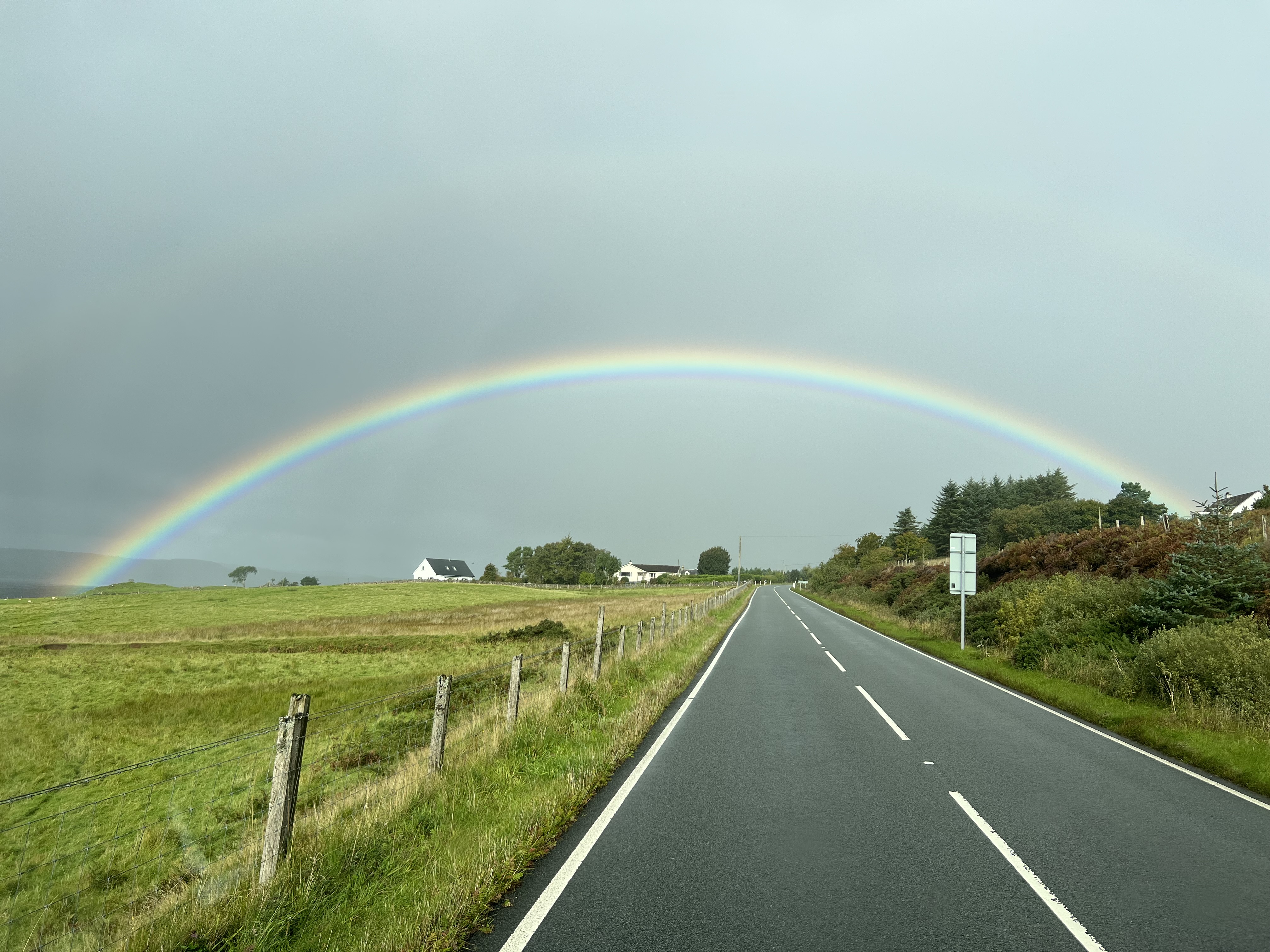
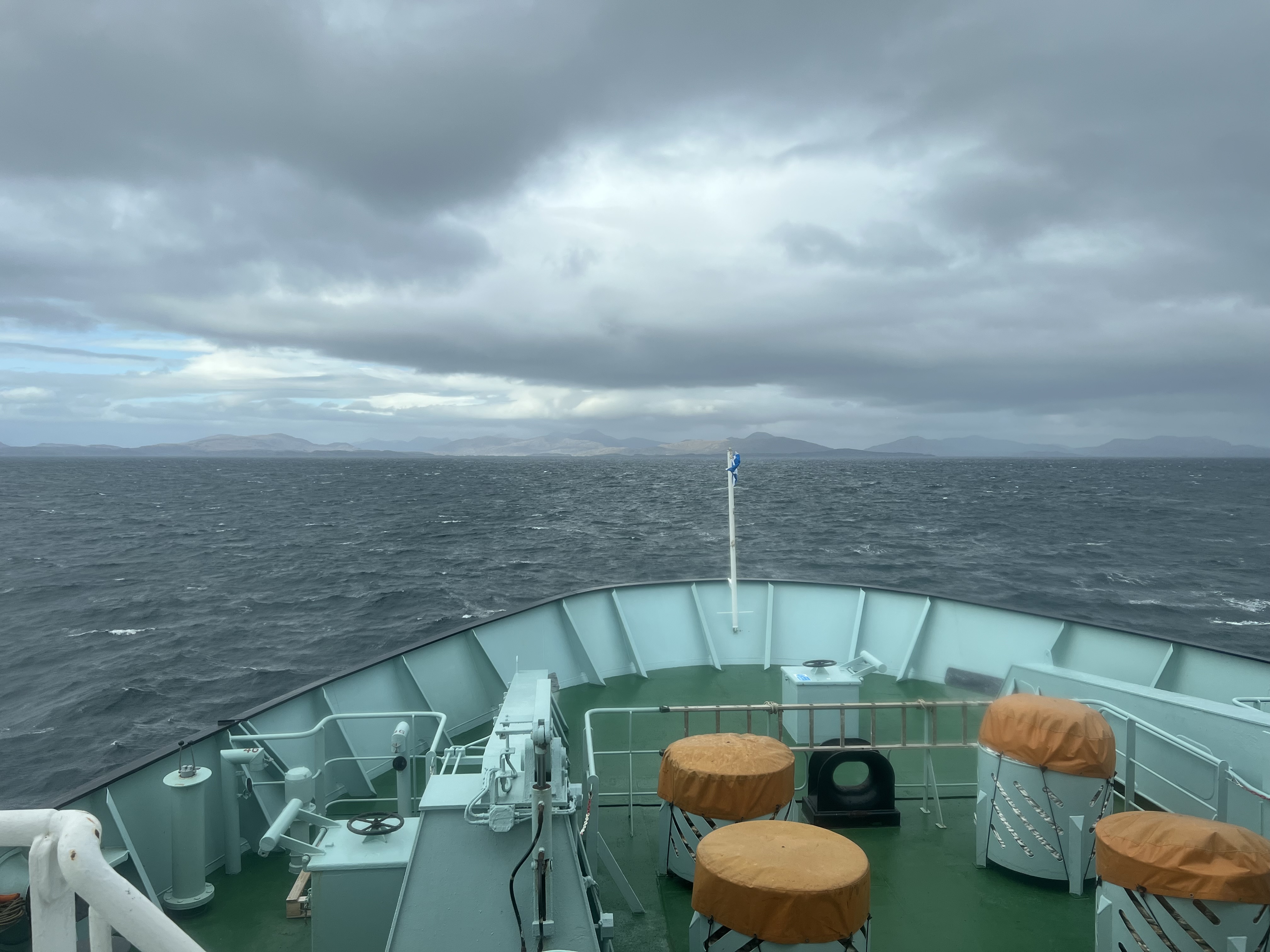
It was a 12 hour drive from Mid-Wales up to the North of Skye where we caught the ferry from Uig across to Tarbert. As we approached Uig, we were welcomed by a huge rainbow with every colour shining bright in the sky. As we went under the rainbow, it wasn’t long until we were moving on the sea with Calmac ferries, heading to the Island of Lewis and Harris.
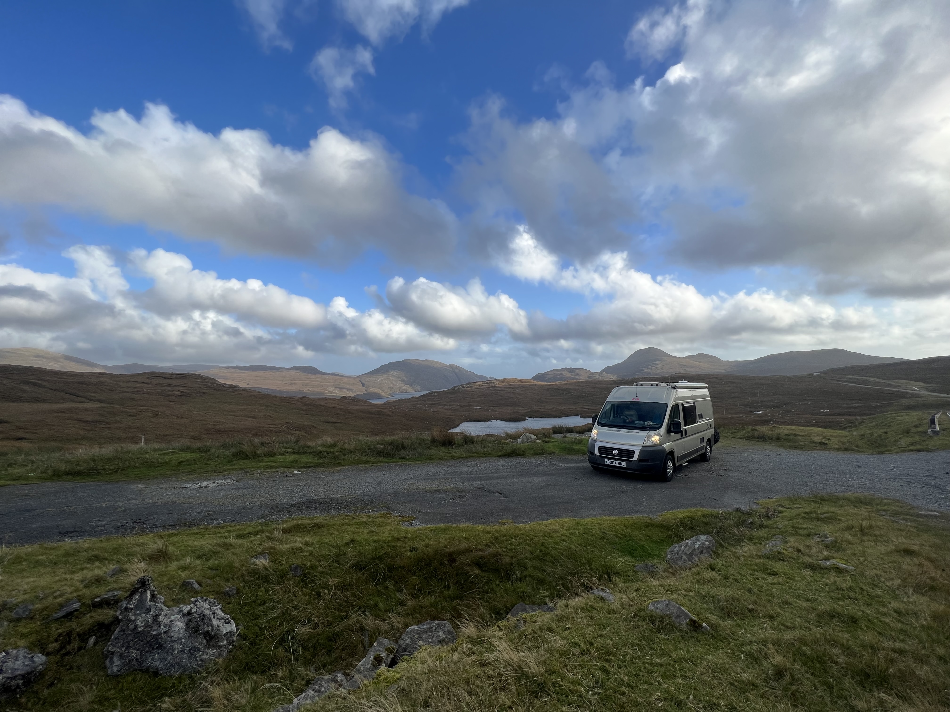
It was a short 30 minute drive in the camper and we had reached our first campsite - west Harris Camping, Seilebost School. It didn’t take us long to prep some tea, have a short walk to the beach, and then fall asleep.
Saturday 23rd September
Seaforth Island GM/SI-192
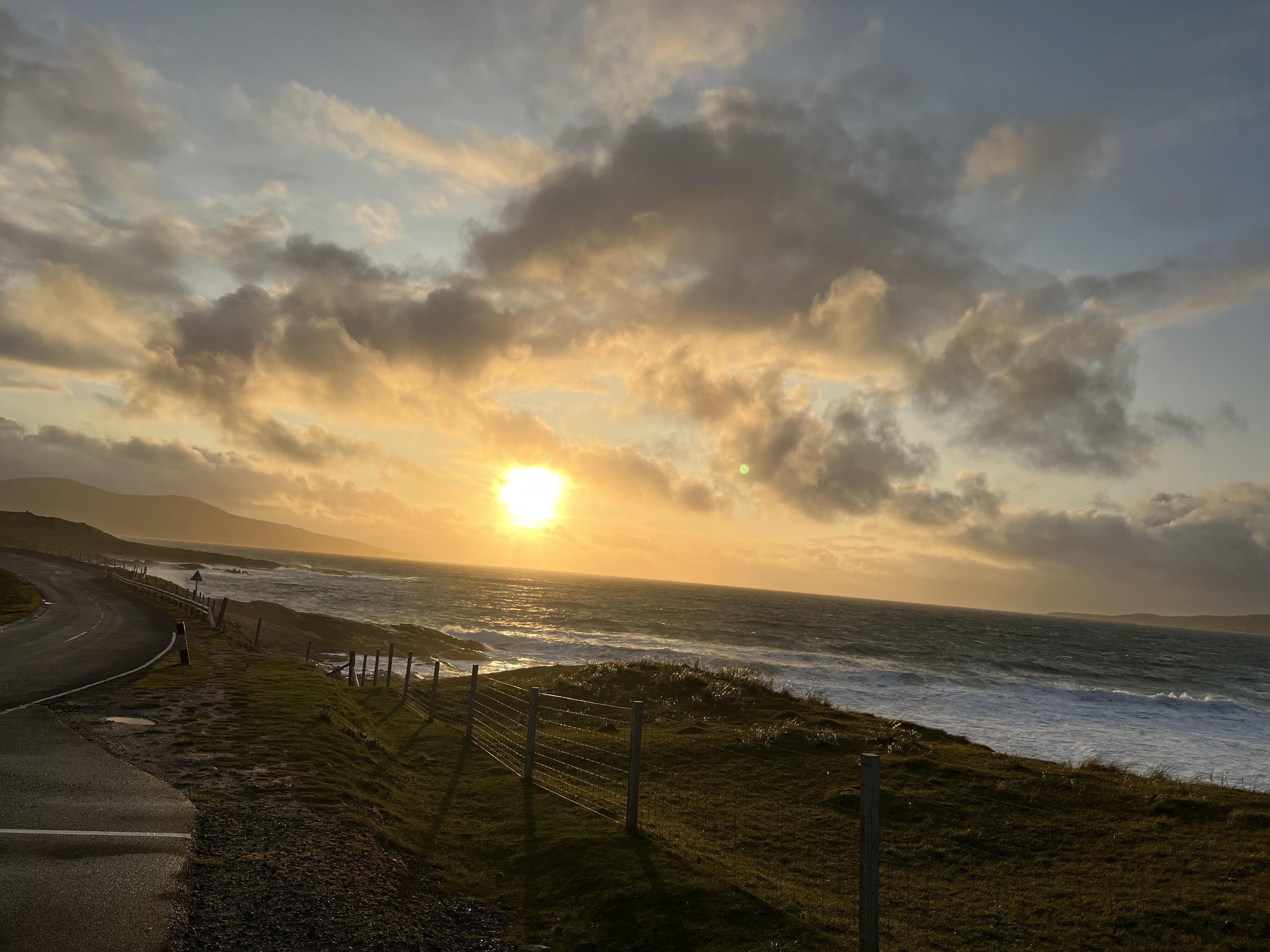
Today was the day I prayed for nice wx - if anyone has been to Lewis and Harris, they will understand what I mean when I say the wx changes hourly! The sun could be out shining for a short period, and then the heavens could open and it could hail for an hour. BUT, today was a good day ![]() we woke and watched the sun rise from the campervan window having breakfast - good times.
we woke and watched the sun rise from the campervan window having breakfast - good times.
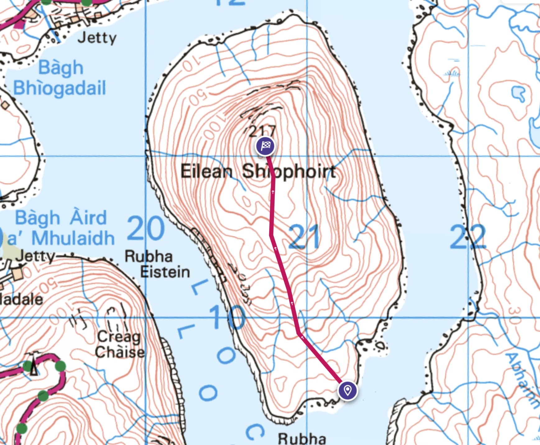
My plan was to kayak across to ‘Seaforth Island’ GM/SI-192 and hike to the top to be the first person to activate the summit. This was my lucky day, the sun kept shining which is unusual in my case, so I met the kayak guide called Kate from ‘Wild Harris’ who lent me one of her kayaks and we both began the journey. The sun was beating down on me, I hadn’t been kayaking for some time, but soon got back into the rhythm.
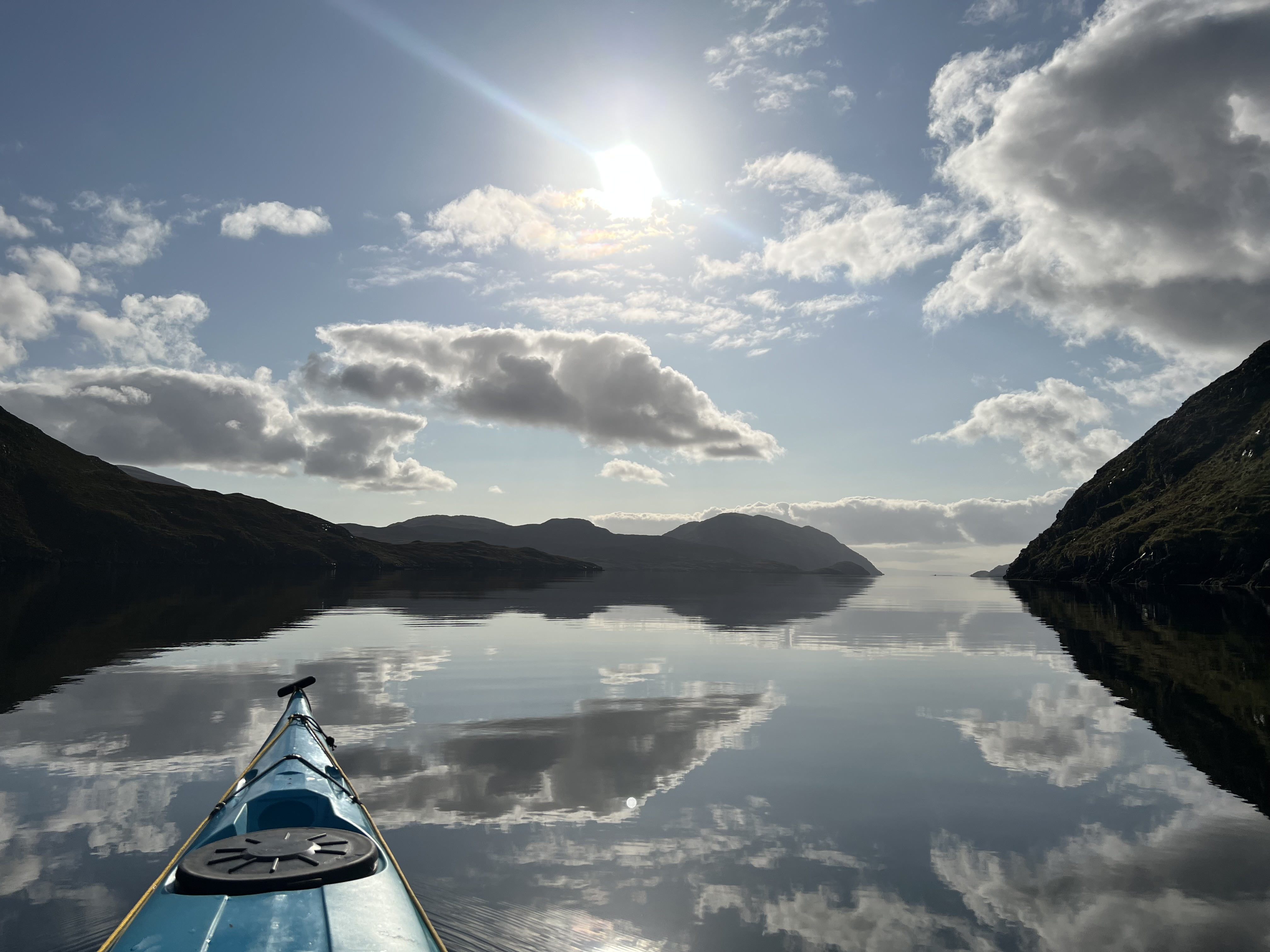
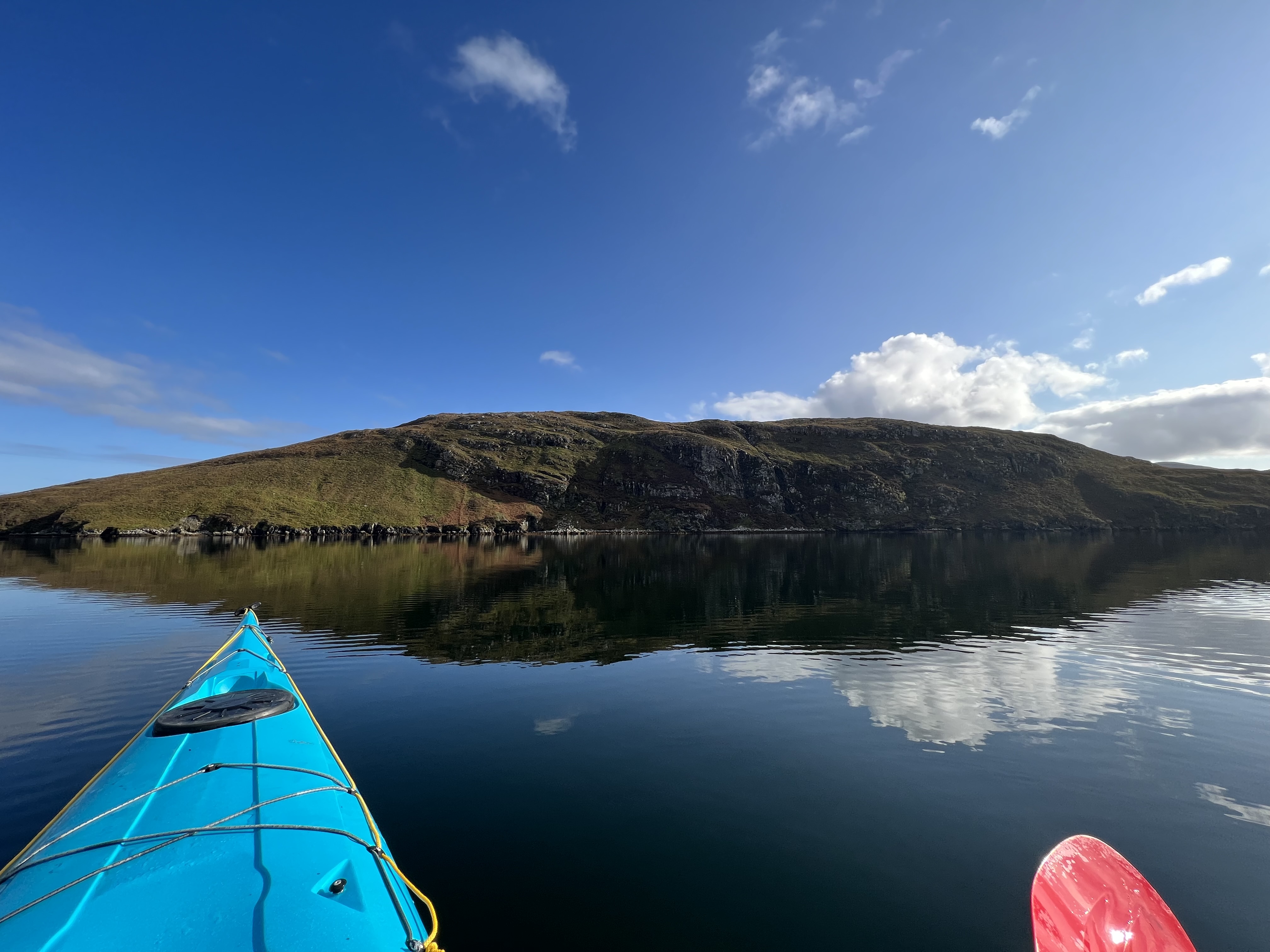
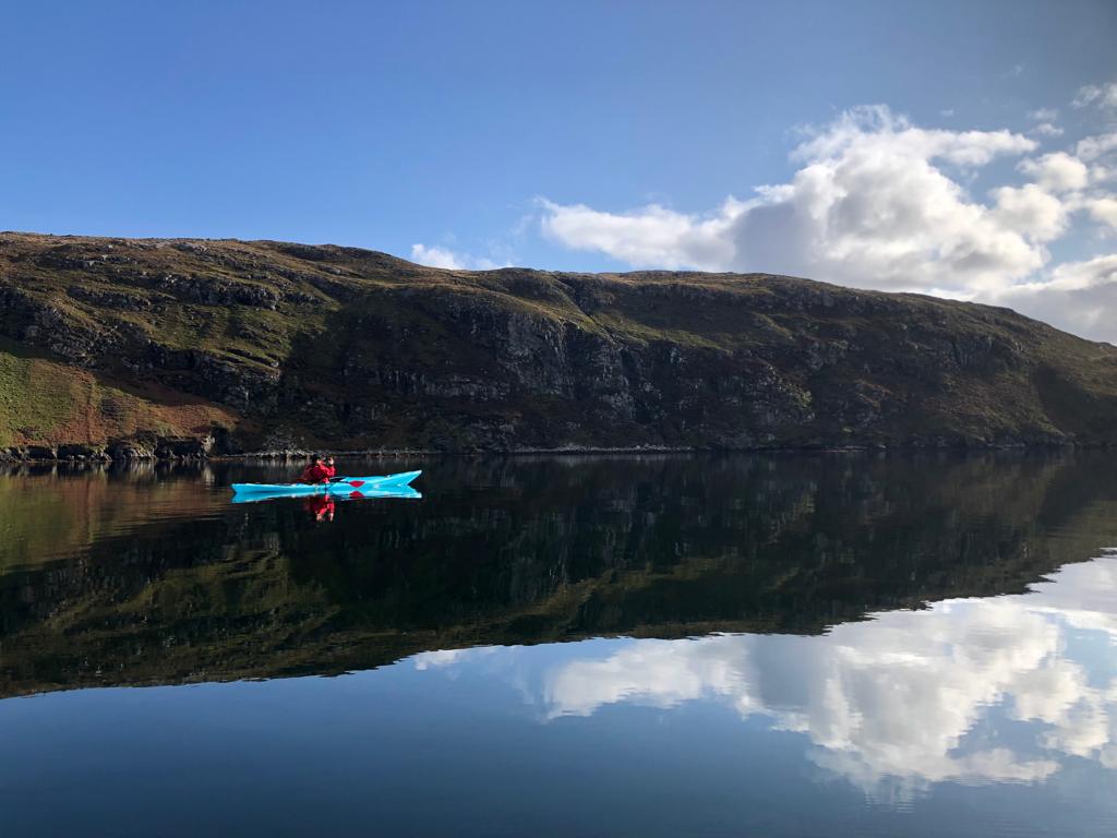
It didn’t take long until I had kayaked to the south of the Island where I landed the kayak on the rocks, pulled it out of the sea, and began my hike.
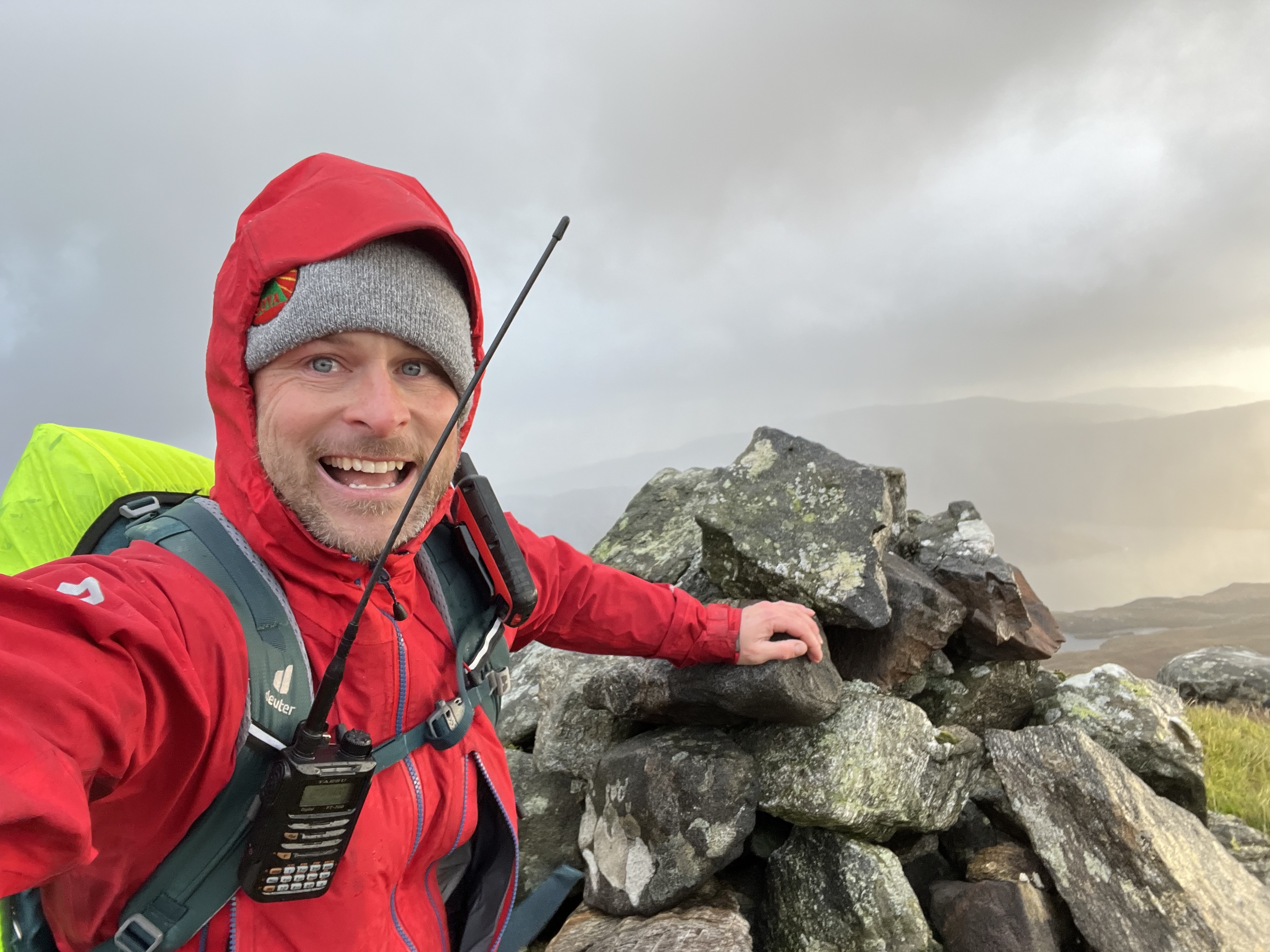
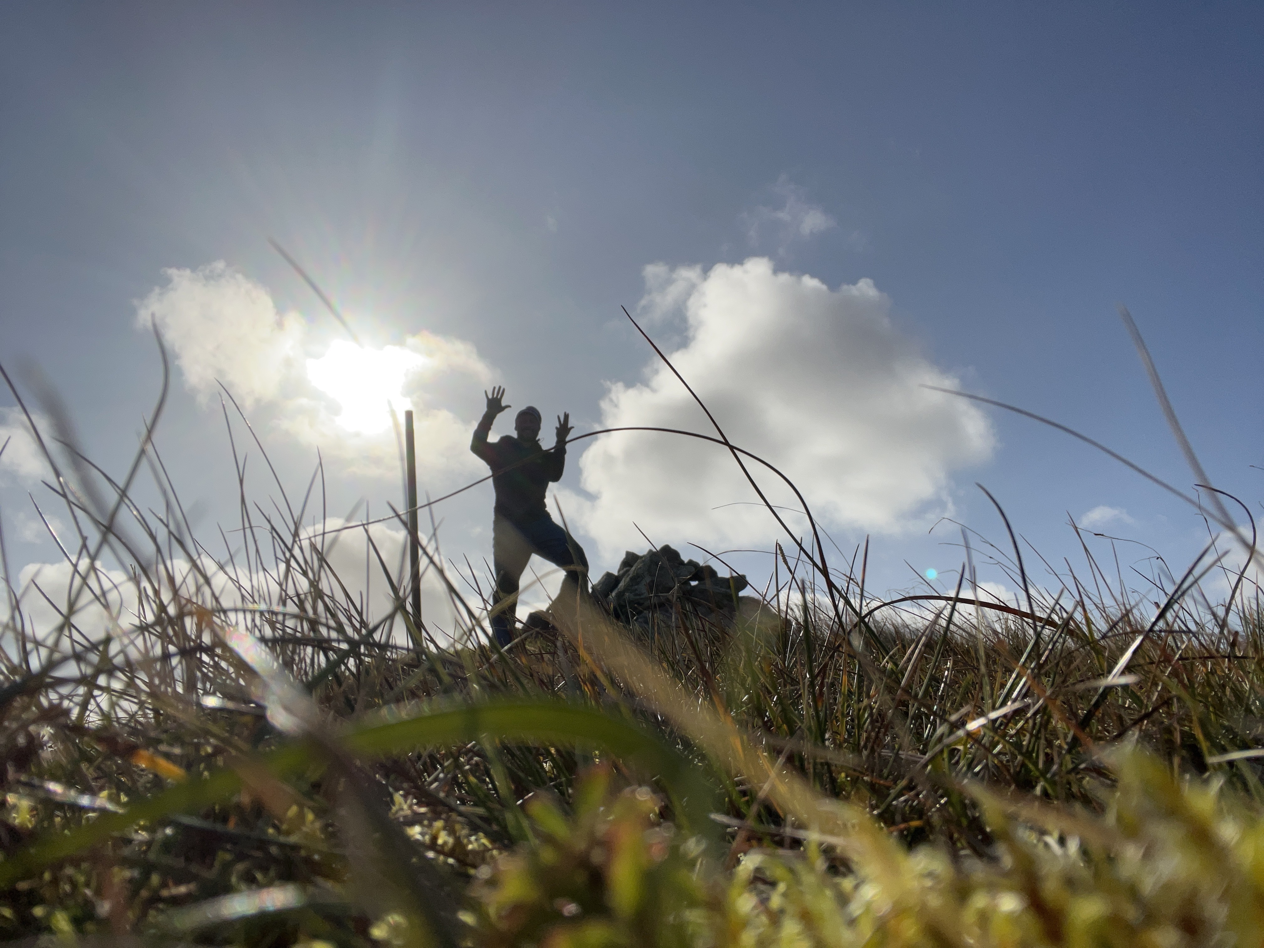
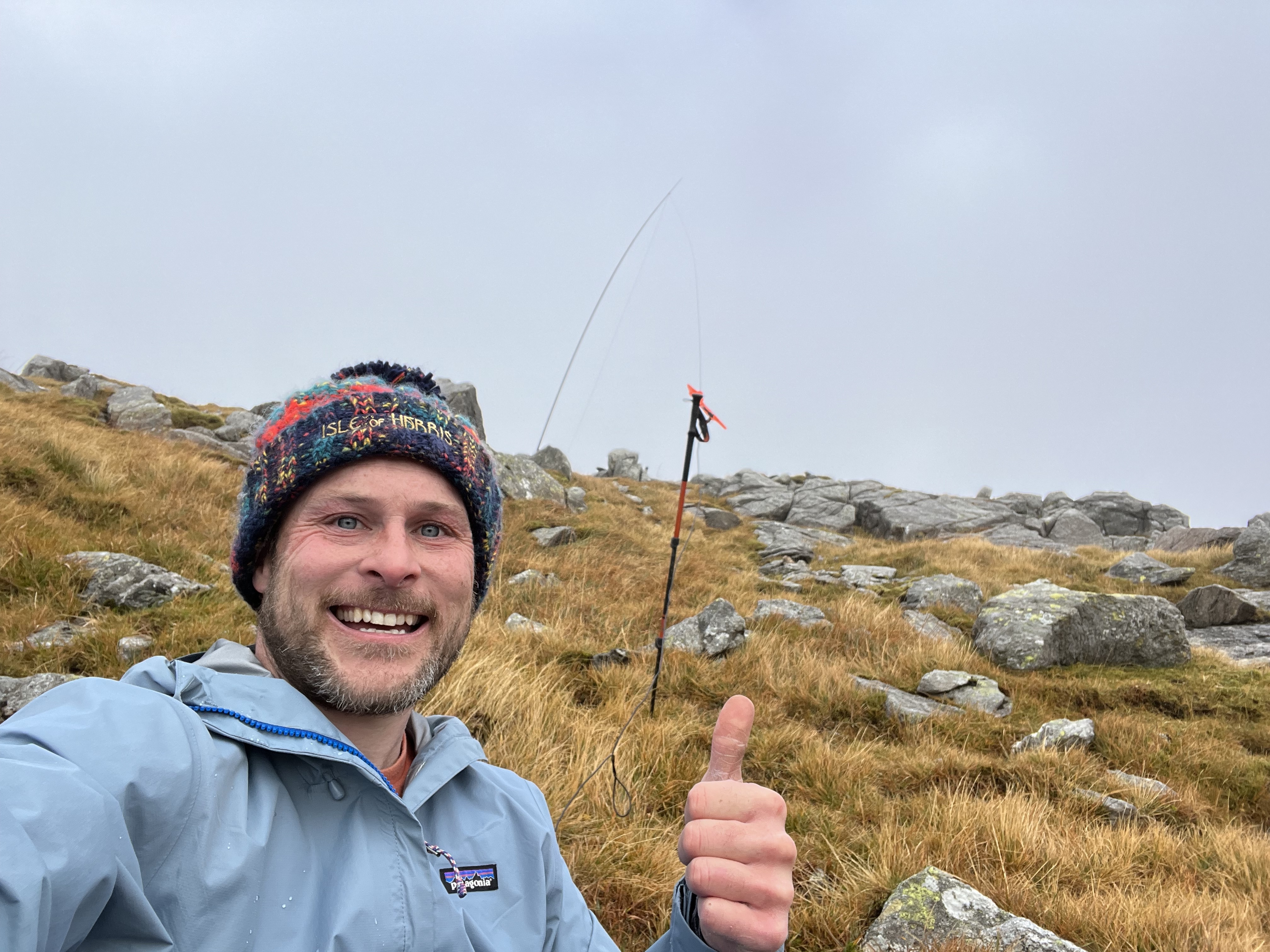
Once I reached the top, I felt really excited, this was my first ever summit I was about to activate that had never been done before - it was a great feeling ![]() I quickly set my normal station up and put a call out on 7-SSB. The response was incredible, I worked a nice pile-up ending with 30 stations in the log, 5 were S2S contacts, thanks Martin @2E0BIA, Chris @2M0NZB, Tom @M1EYP & John @G4TQE. I even worked the RSGB President, John McCullagh who was using the President call-sign of GB4RS/p on GI/AH-002 who agreed to do a joint activation with me in early January 2024 - look out for the alerts!! I then moved over to 5-CW and worked a further 4 stations and ended my day on 145-FM adding a final 2 contacts to my log.
I quickly set my normal station up and put a call out on 7-SSB. The response was incredible, I worked a nice pile-up ending with 30 stations in the log, 5 were S2S contacts, thanks Martin @2E0BIA, Chris @2M0NZB, Tom @M1EYP & John @G4TQE. I even worked the RSGB President, John McCullagh who was using the President call-sign of GB4RS/p on GI/AH-002 who agreed to do a joint activation with me in early January 2024 - look out for the alerts!! I then moved over to 5-CW and worked a further 4 stations and ended my day on 145-FM adding a final 2 contacts to my log.
What a great start to a 14 day holiday / SOTA exhibition - I descended the summit with a huge smile on my face and kayaked back to the family.
Sunday 24th September
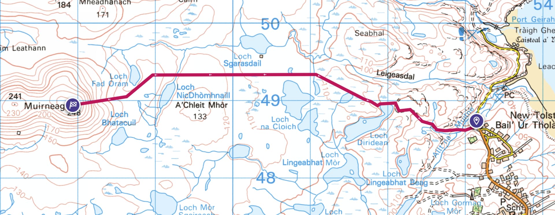
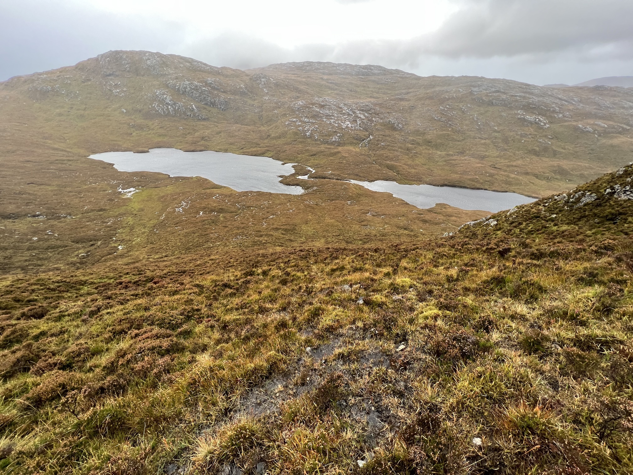
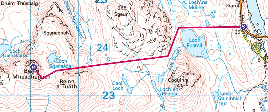
Muaithabhal GM/SI-102
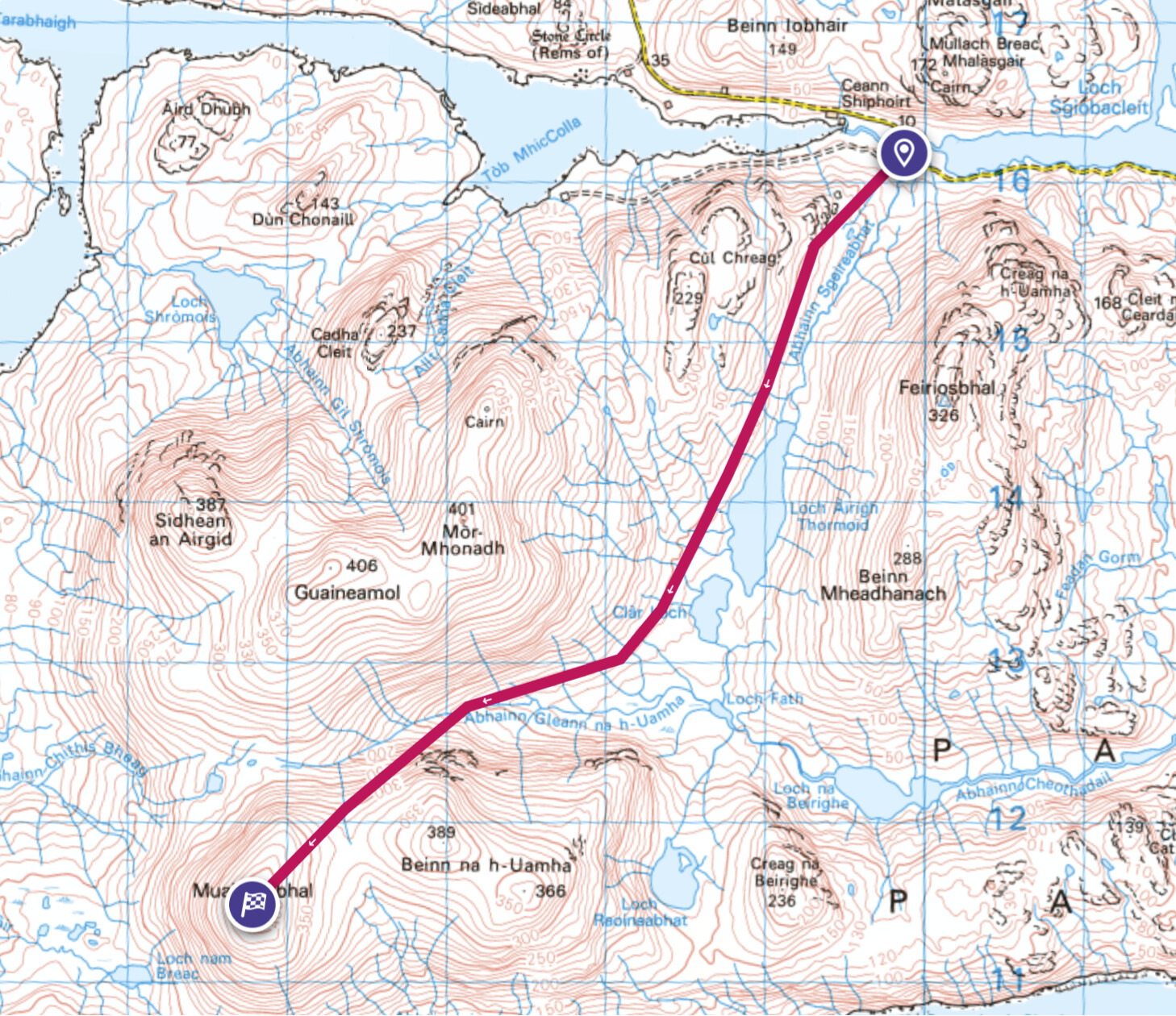
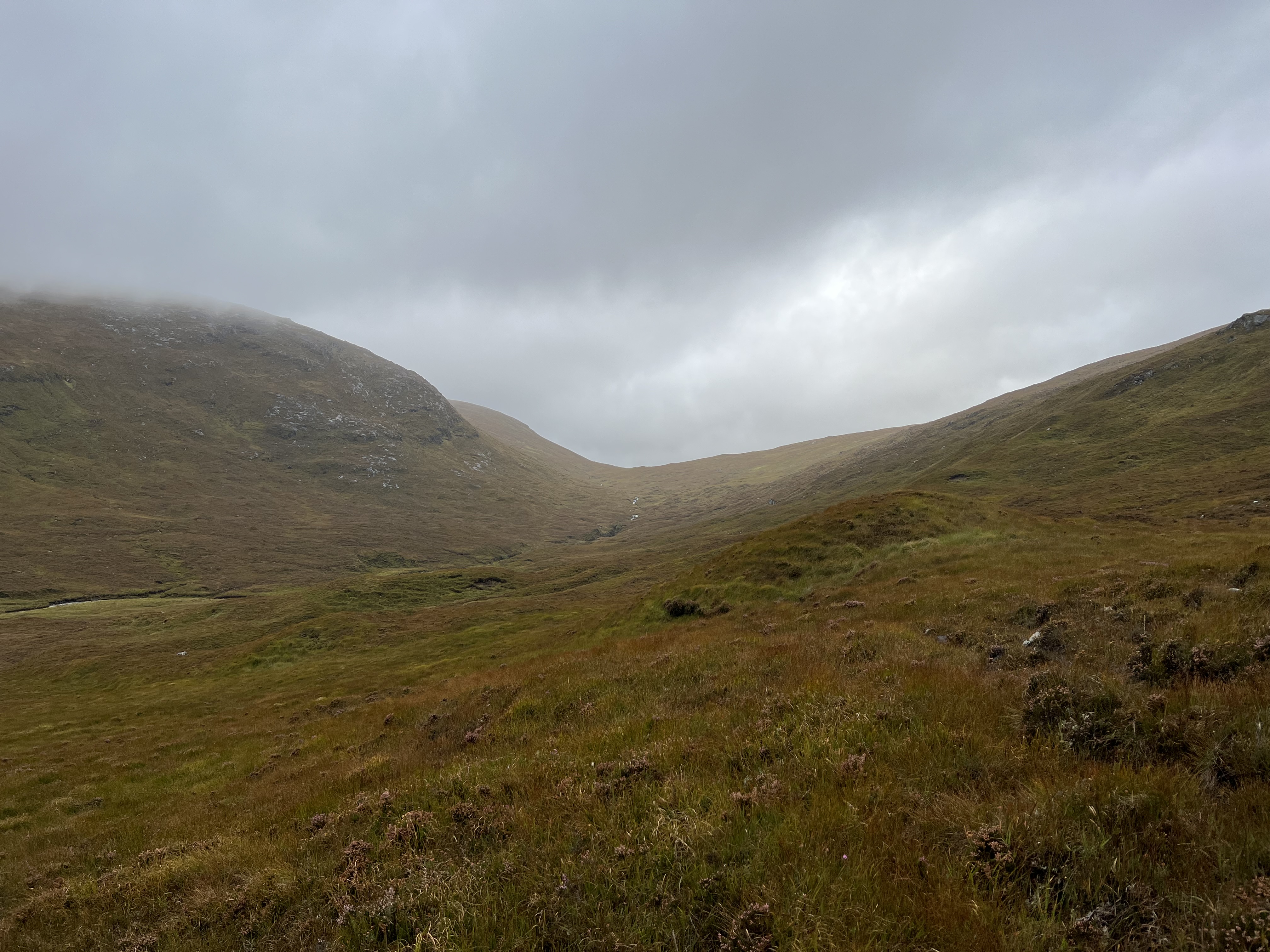
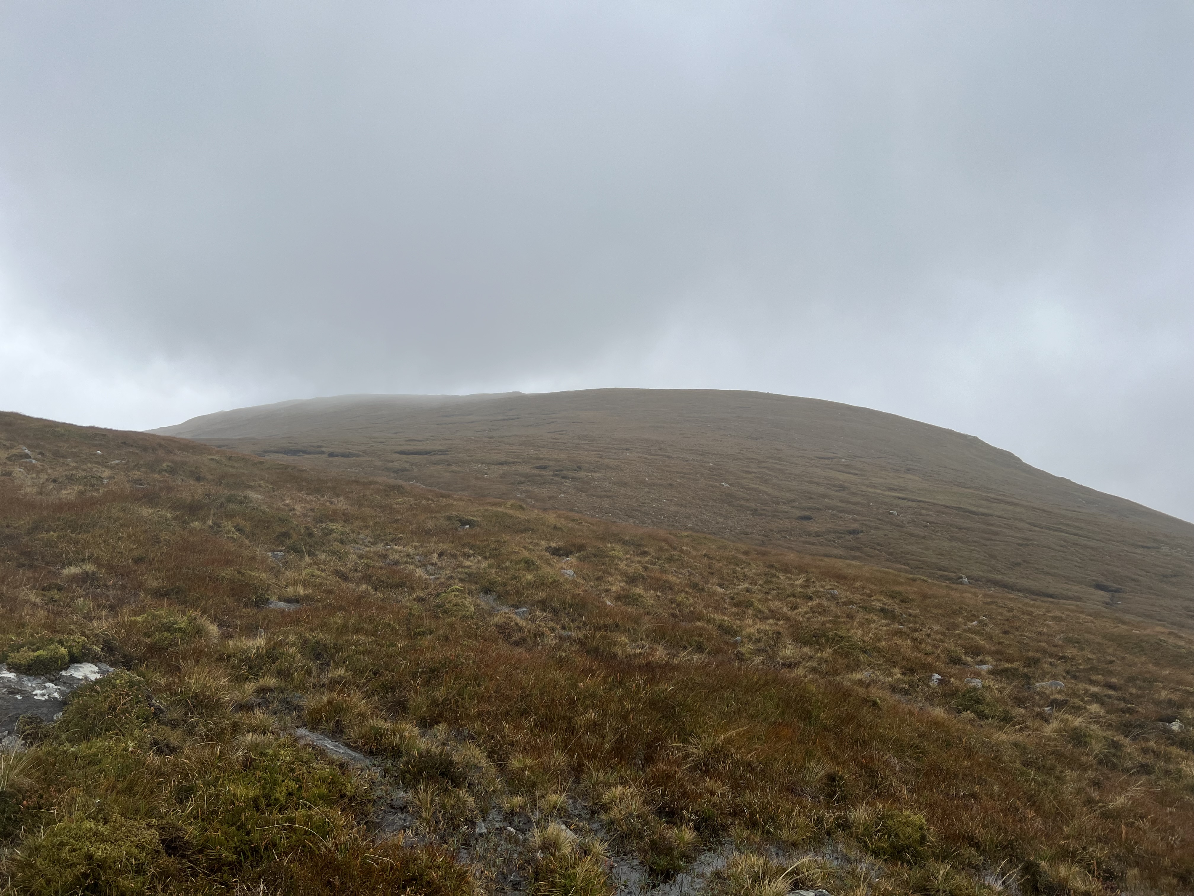
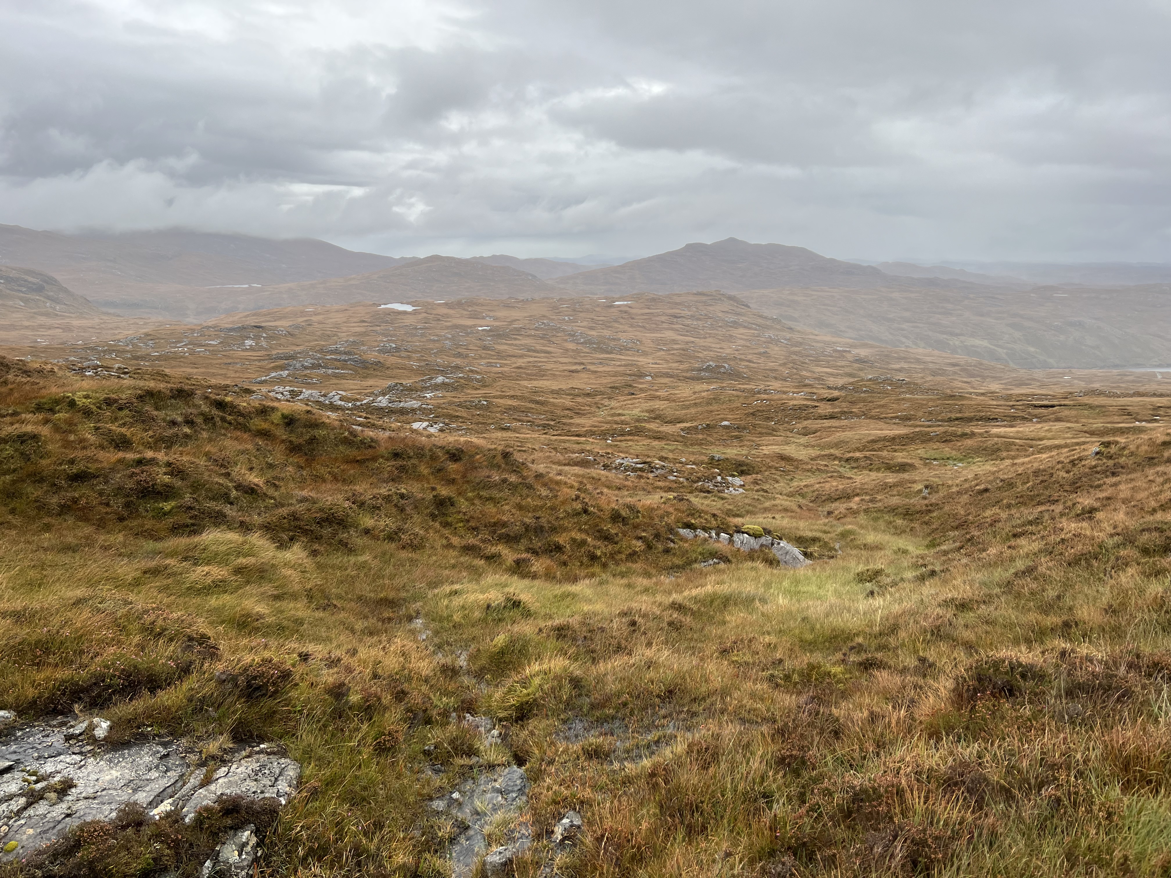
After a great day had on Seaforth, unfortunately the wx took a turn for the worse on the Sunday. It was a misty rainy morning, Martha and little Lyra were all cosy in the camper, so the boys went out to play ![]() me and Mr Brown decided to waste no time and attempt the horrible hike to Muaithabhal GM/SI-102. Below is the route we took:
me and Mr Brown decided to waste no time and attempt the horrible hike to Muaithabhal GM/SI-102. Below is the route we took:
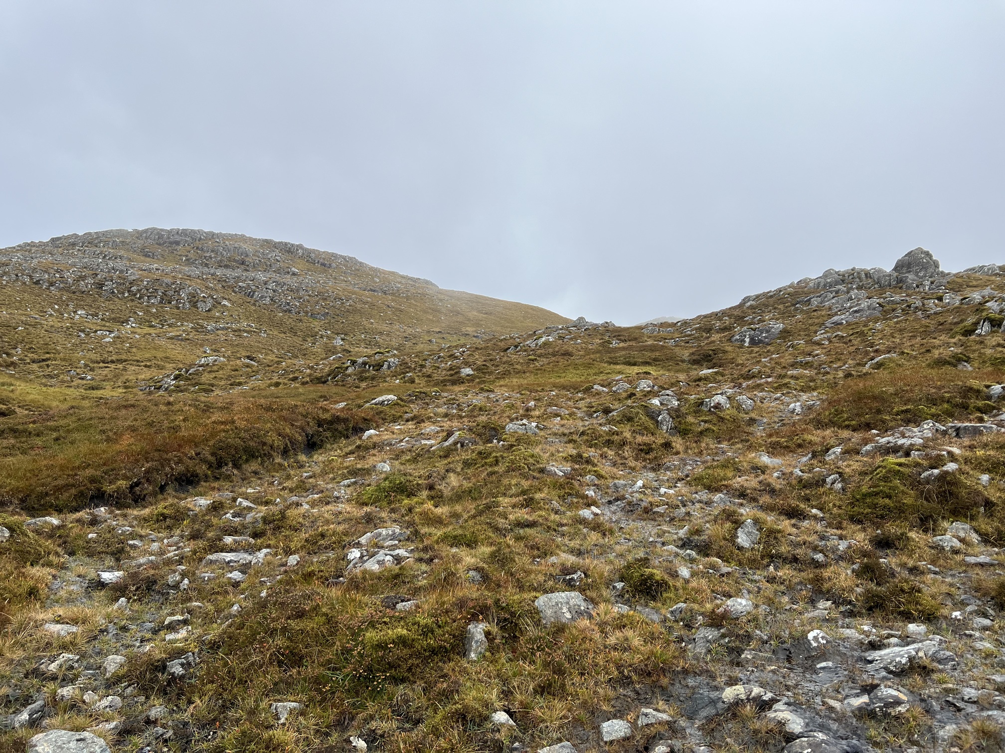
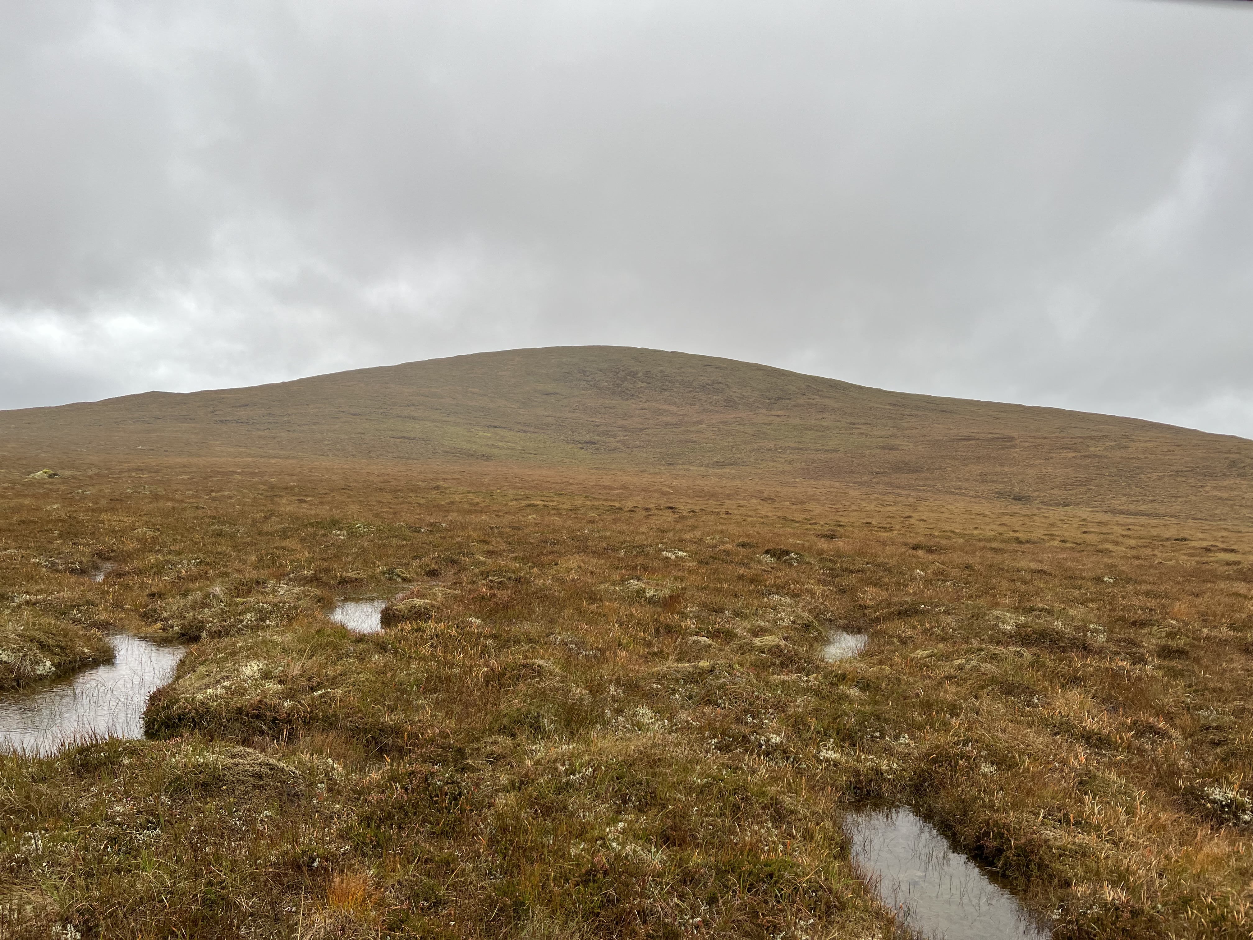
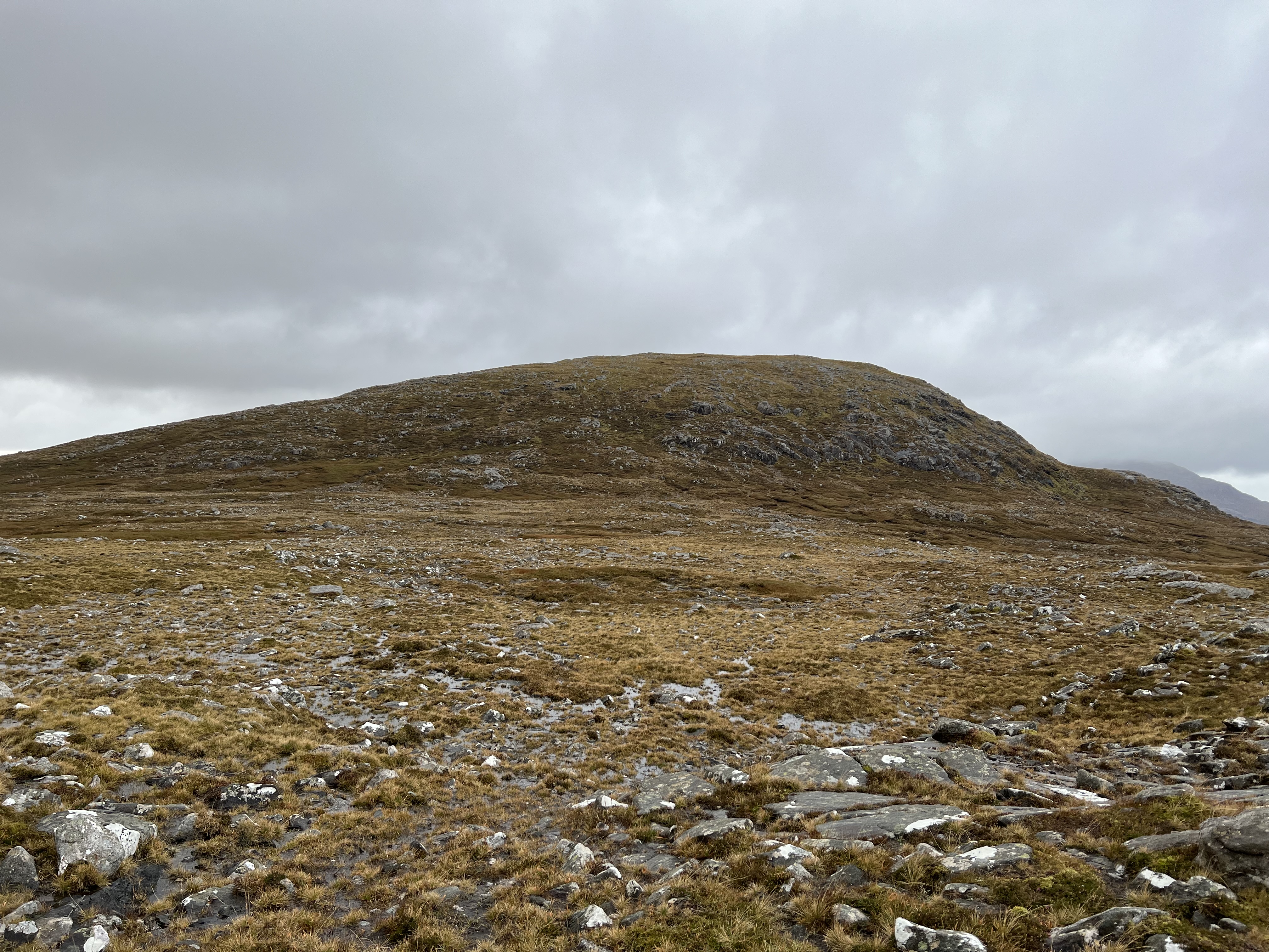
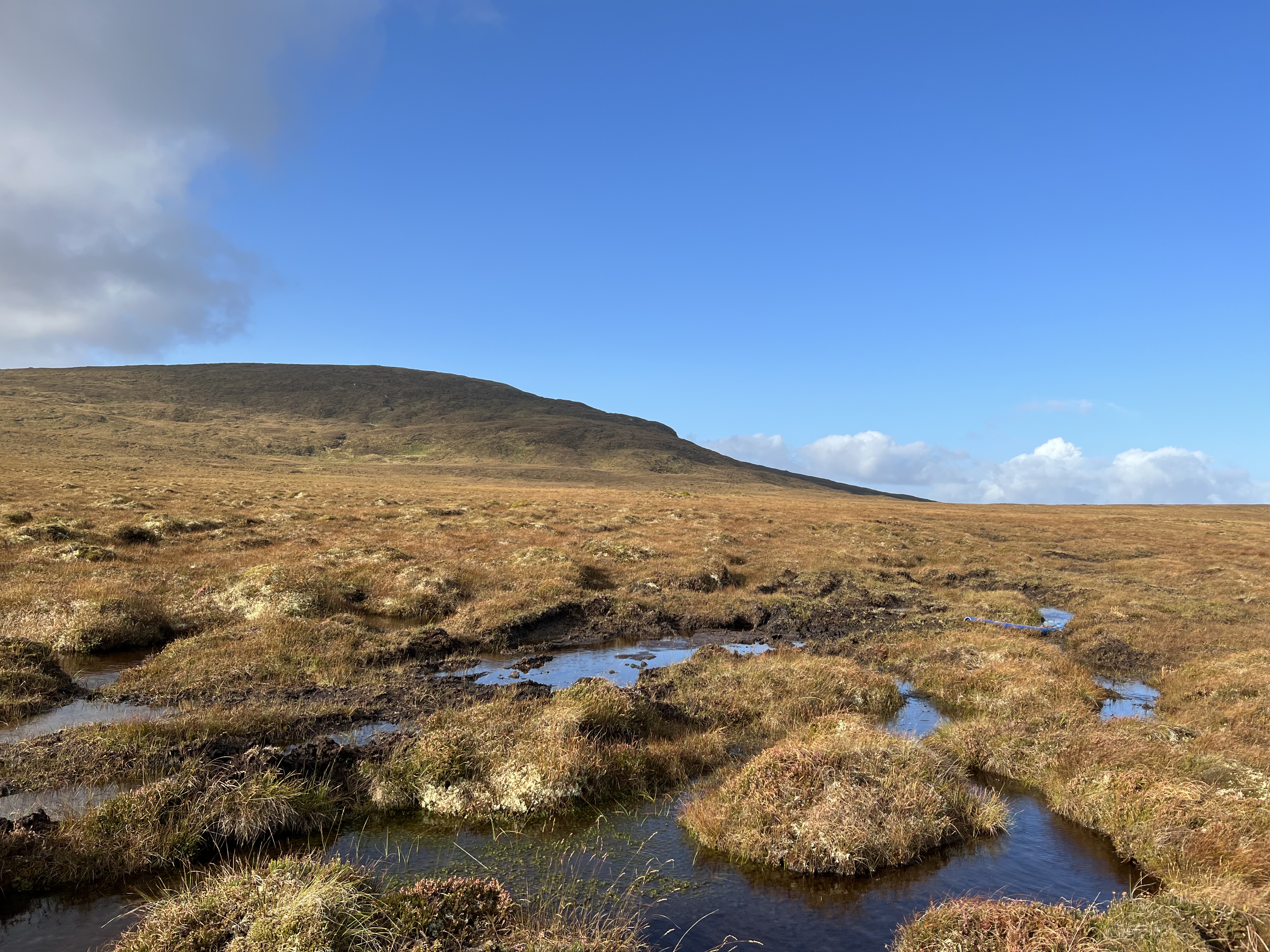
This was approximately 4.5 miles of bog… streams to cross… peat hags to hurdle… and waist deep pot holes to fall in or dodge to reach the summit - all for a total of 1 point!!
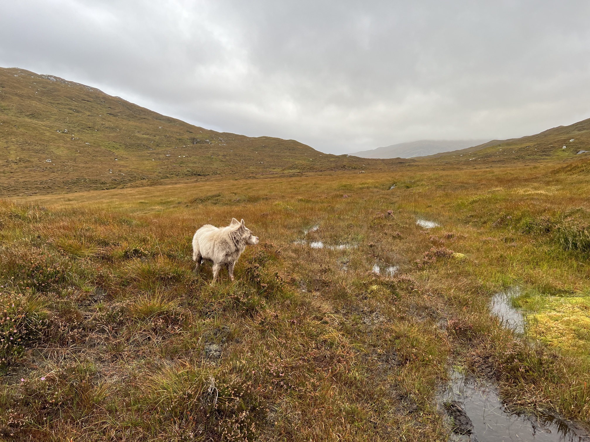
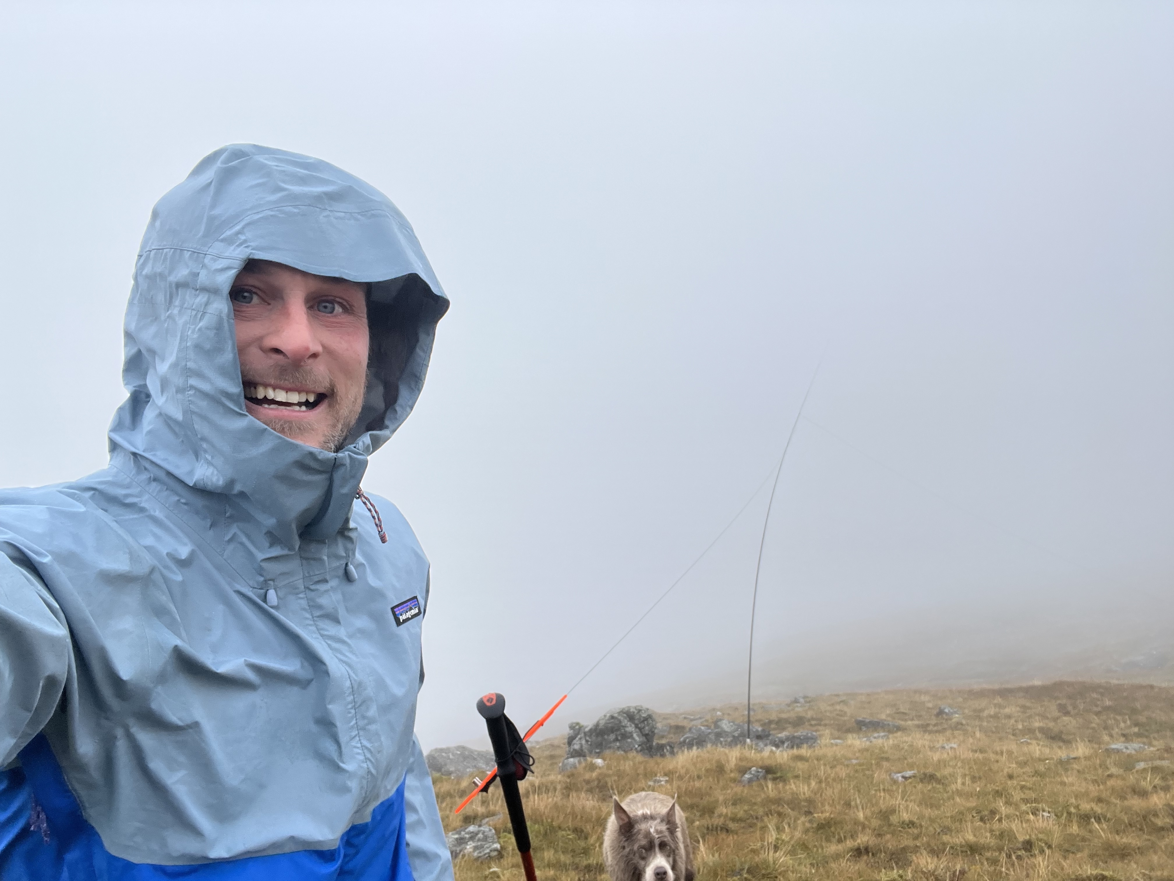
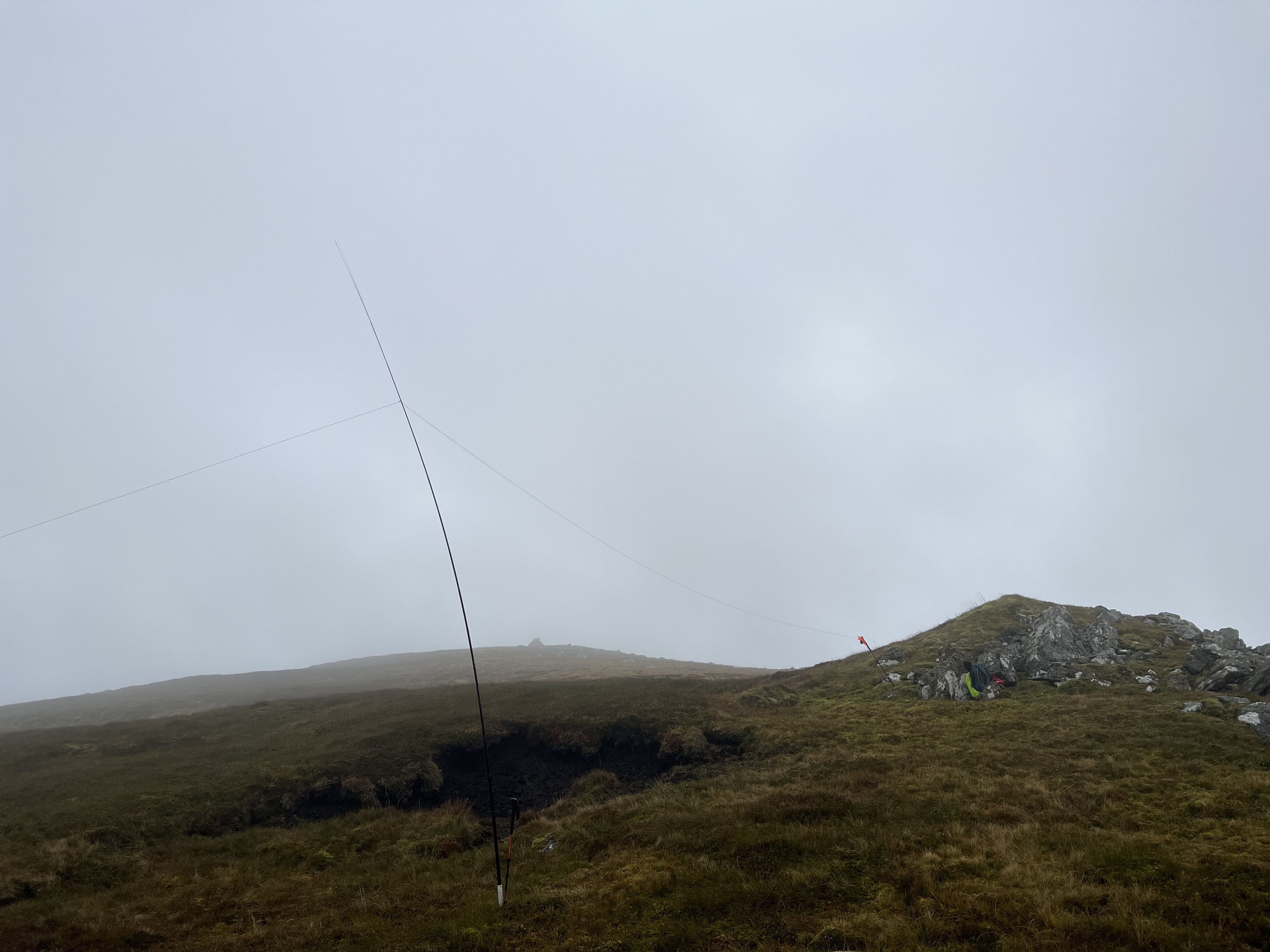
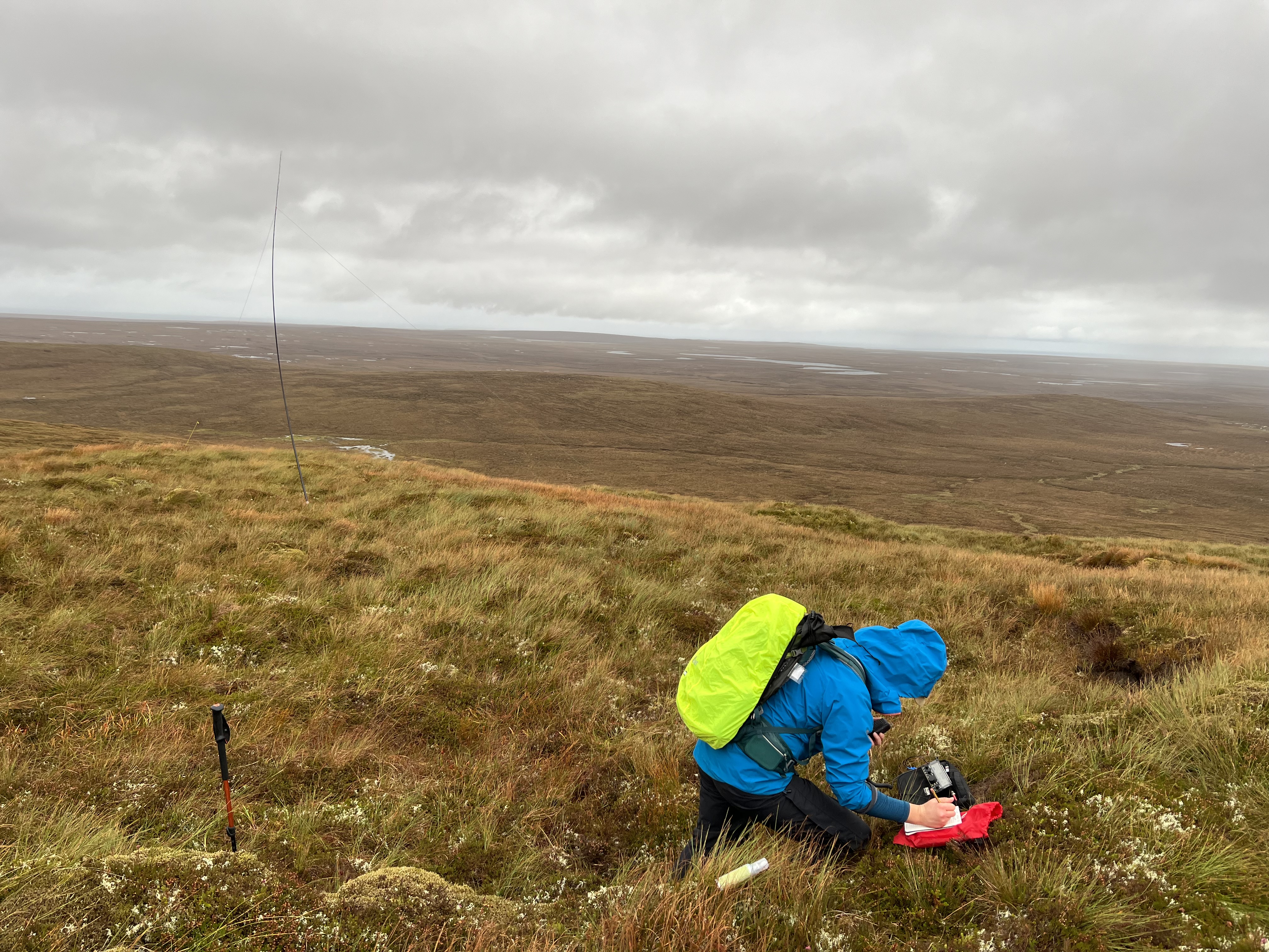
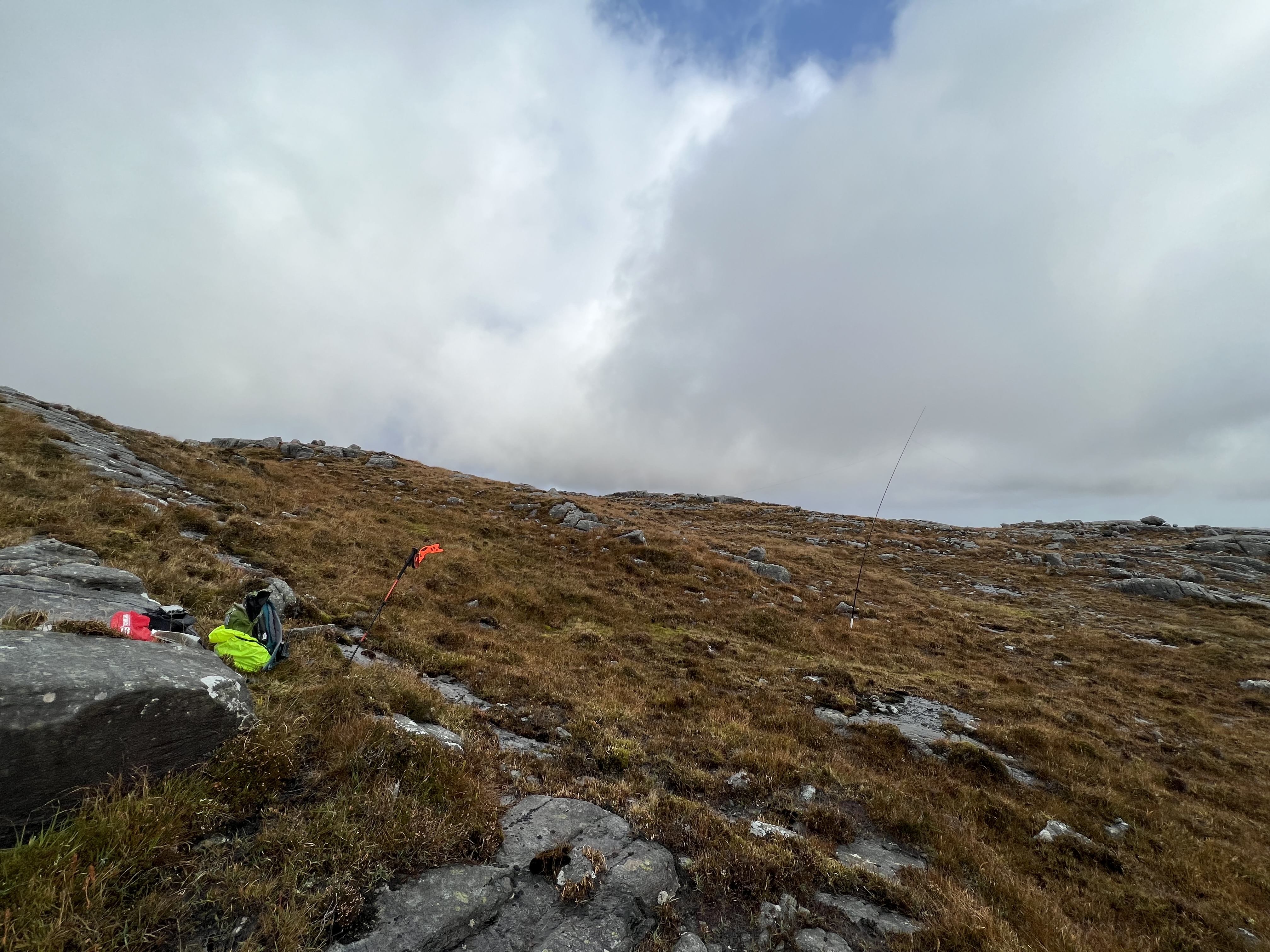
After a long exhausting hike, we found the summit - woohoo! The wind was howling, so I found a place to shelter beside a few rocks where I set my station up. Mr Brown snuggled by my side for most of this activation ![]()
I managed to work 18 stations on 7-SSB and a further 4 stations on 5-CW. I did call out on 145-FM, but had no takers. I was quite glad because the wx had taken a turn for the worse and I just wanted to get a summit selfie and run like mad with Brown back down to the valley to shelter from the high winds.
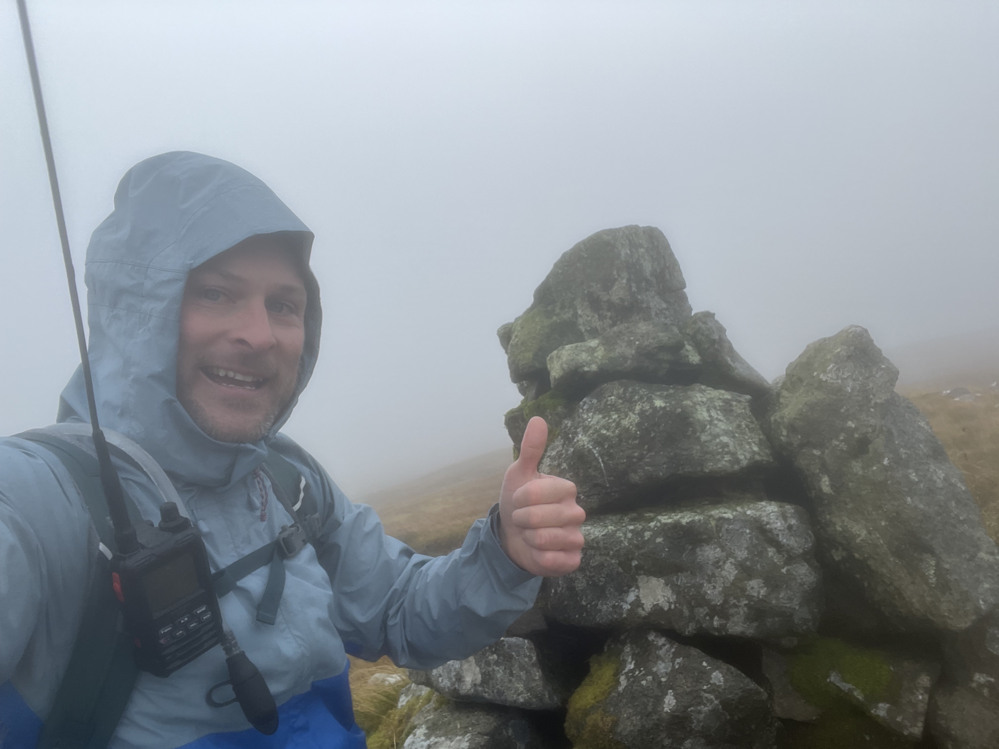
It was then a long 4.5 miles back to the van ![]() but on the positive side, summit number 2 was a success!
but on the positive side, summit number 2 was a success!
Tuesday 26th September
Uisenis GM/SI-126 & Gormol GM/SI-078
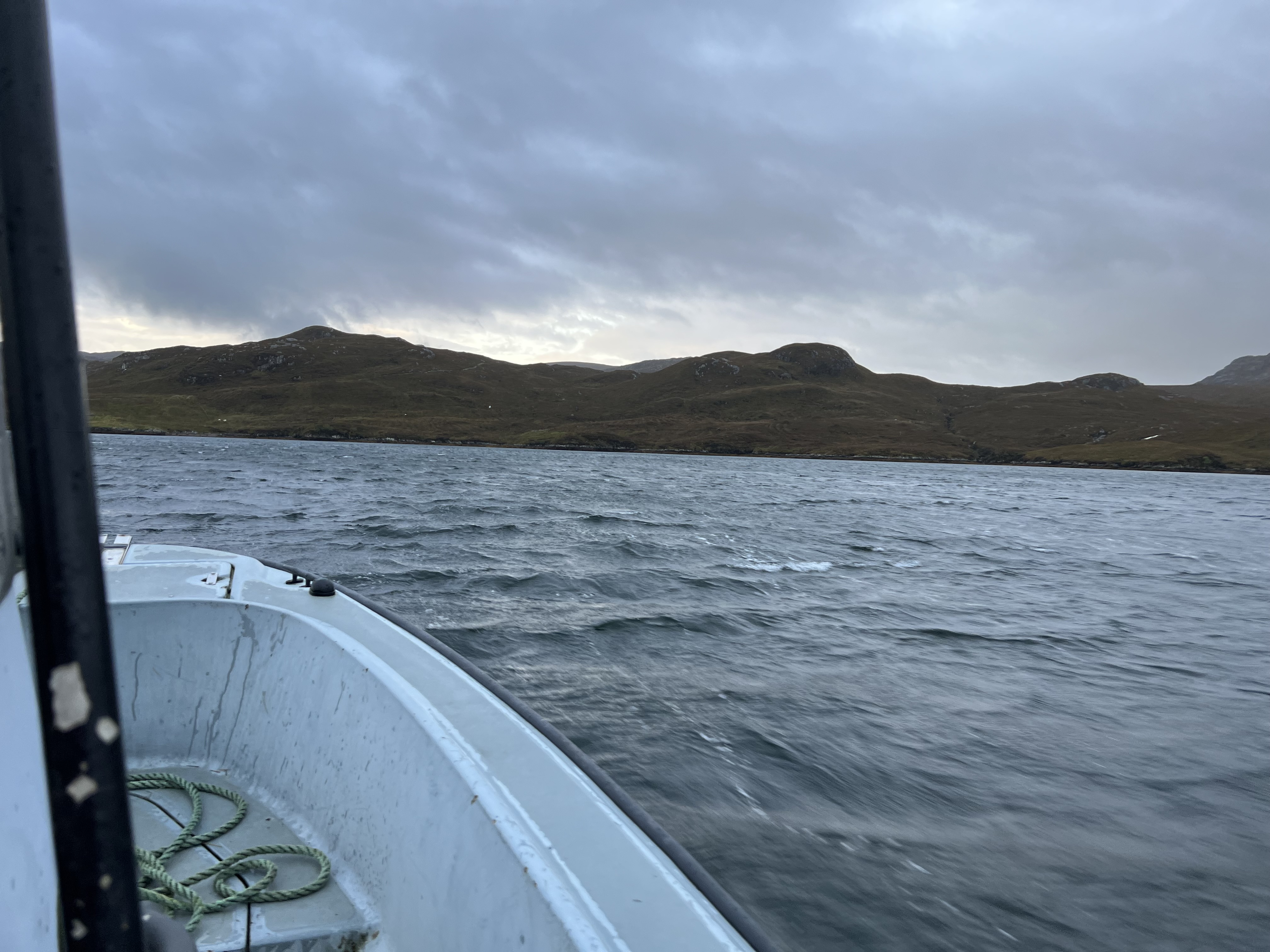
So, after a nice family day together it was time to try out summit number 3 and 4 on my plans… unfortunately, my kayak guide had messaged me to say the wx was to bad to kayak across the sea to continue my expedition - I was pretty gutted to be fair, so what can I do now… the cogs were ticking in my head. If anyone in the SOTA community knows me, then they will know I’m a very determined Welshman and definitely not shy to approach anyone to ask for support ![]() so off to see the fishermen it was! 10 minutes later I was on a boat to begin my hike
so off to see the fishermen it was! 10 minutes later I was on a boat to begin my hike ![]() things couldn’t get much better to be fair!
things couldn’t get much better to be fair!
I had two summits on the cards for today, and had to get both done, there wasn’t another chance I could get a boat ride across to the starting line. The route I took follows:
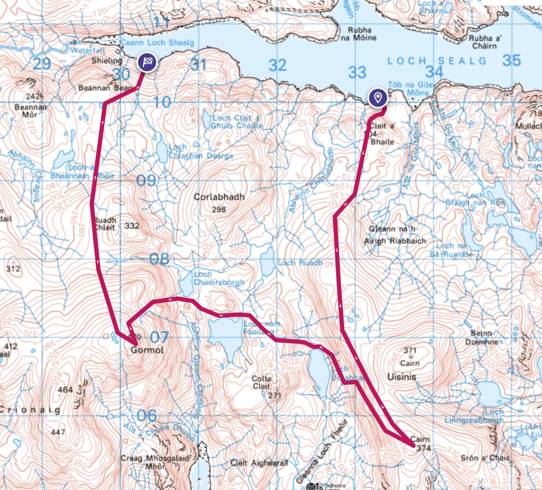
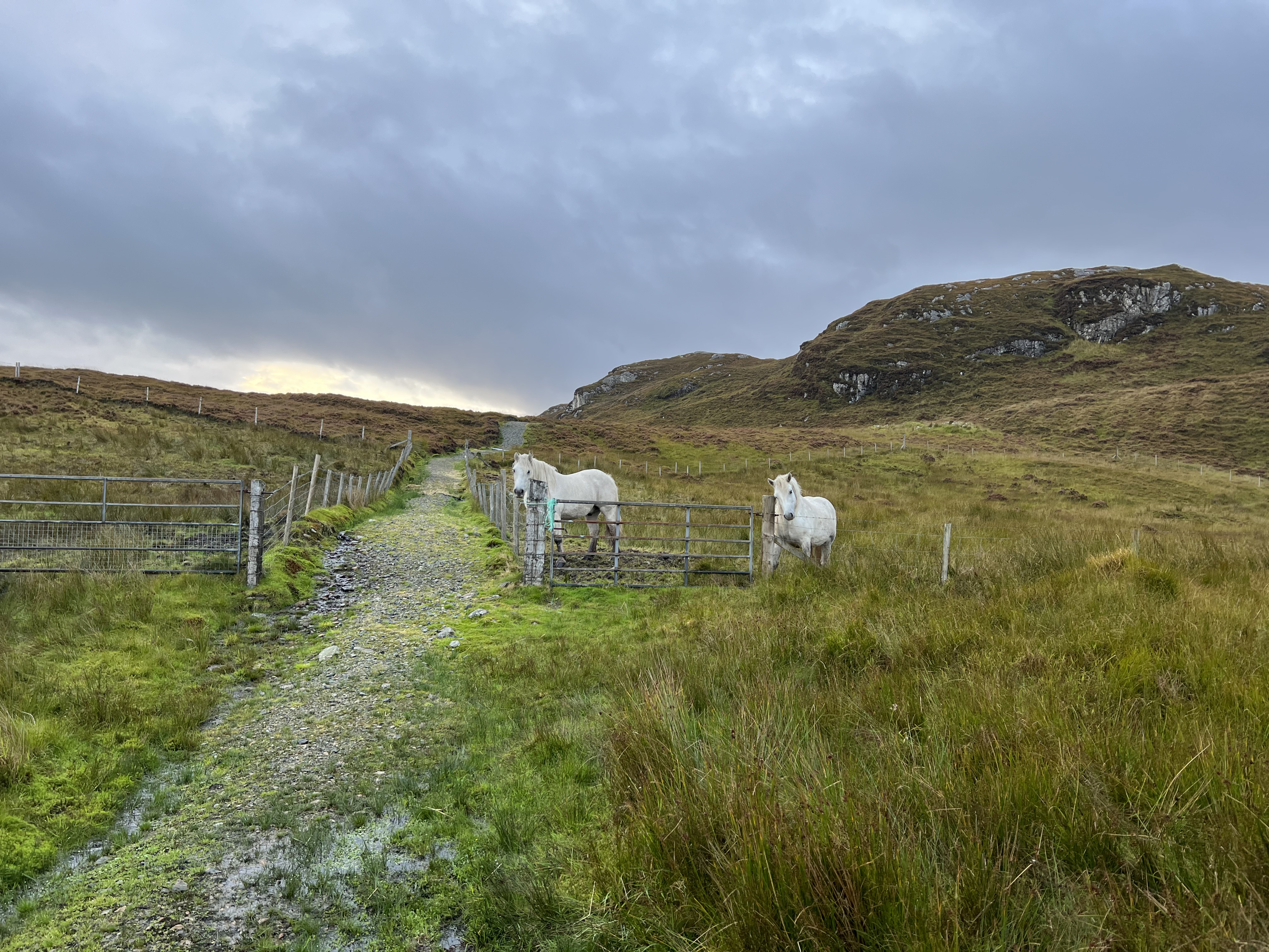
The first summit was Uisenis GM/SI-126 which began with a path for approximately 1/4 mile (YES, I SAID PATH ![]() WOOHOO) where the deer stalkers use when on the Island. I was greeted by two nice big wild horses:
WOOHOO) where the deer stalkers use when on the Island. I was greeted by two nice big wild horses:
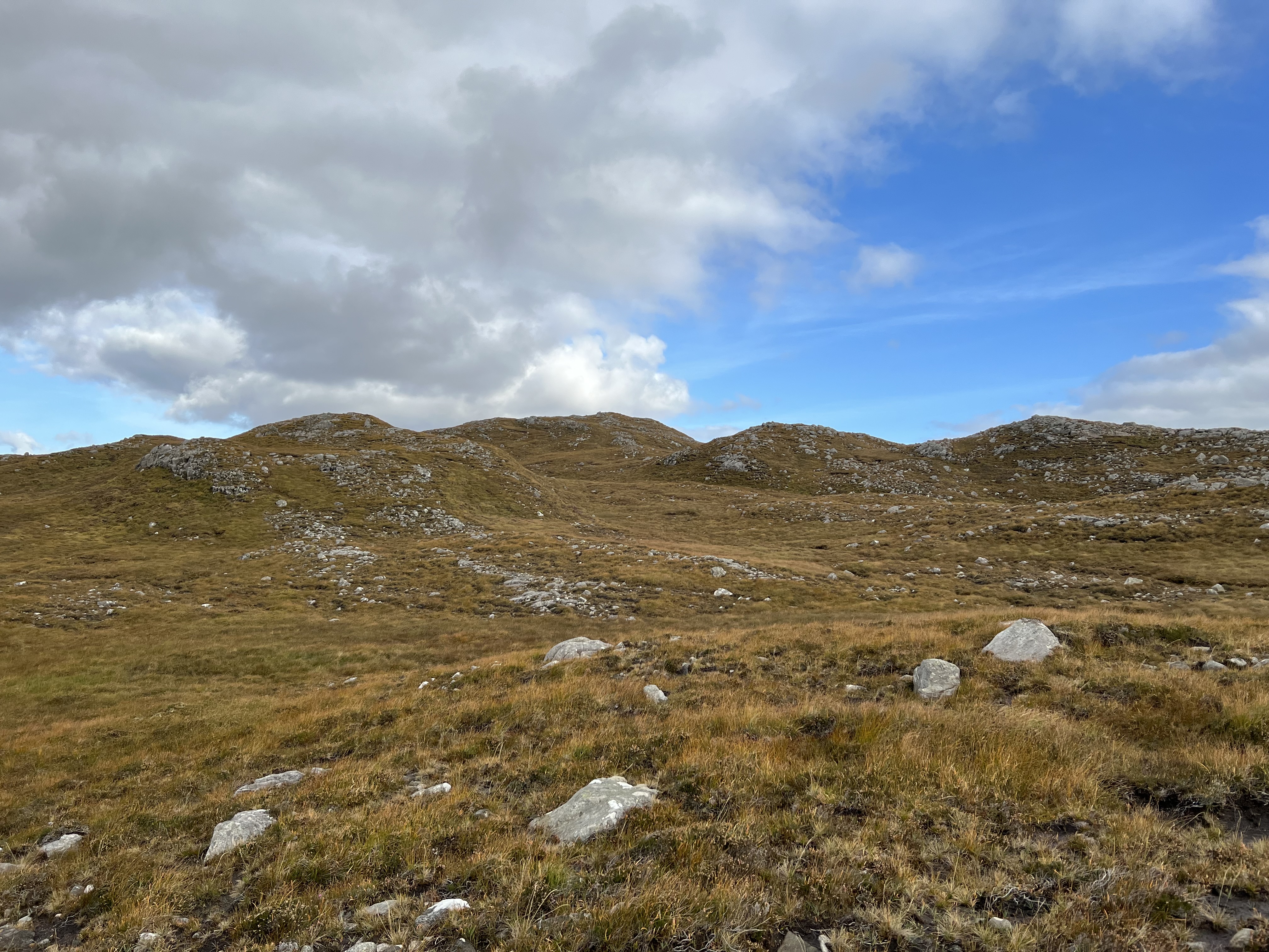
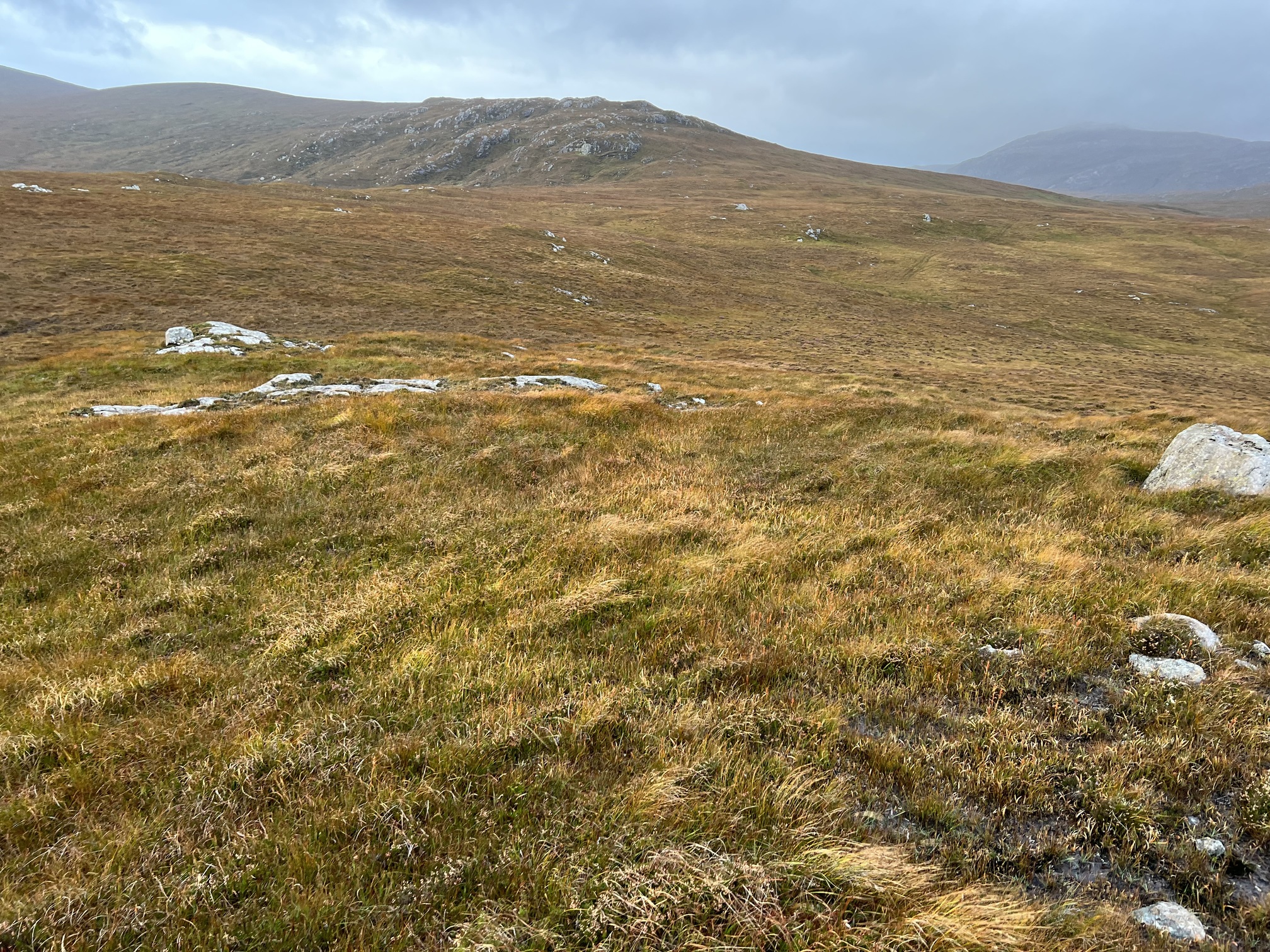
And then back to reality, at the end of the path returned the bog and peat hags for a couple of miles, with grouse rising up every so often in front of me making me jump. It wasn’t too long and I reached the summit:
I set up my station very near the trig stones and put a CQ SOTA call out on 7-CW. CW seemed pretty quiet, I only managed to work 5 stations, so I moved over to 7-SSB which was a different kettle of fish, and added a further 29 stations to my log with one being a S2S contact - thanks Alexander @DJ5AS.
I packed my HF gear up and then had a shout on 145-FM, unfortunately no takers, so I continued my route to the next summit, Gormol GM/SI-078 which looked a fair beast from afar!
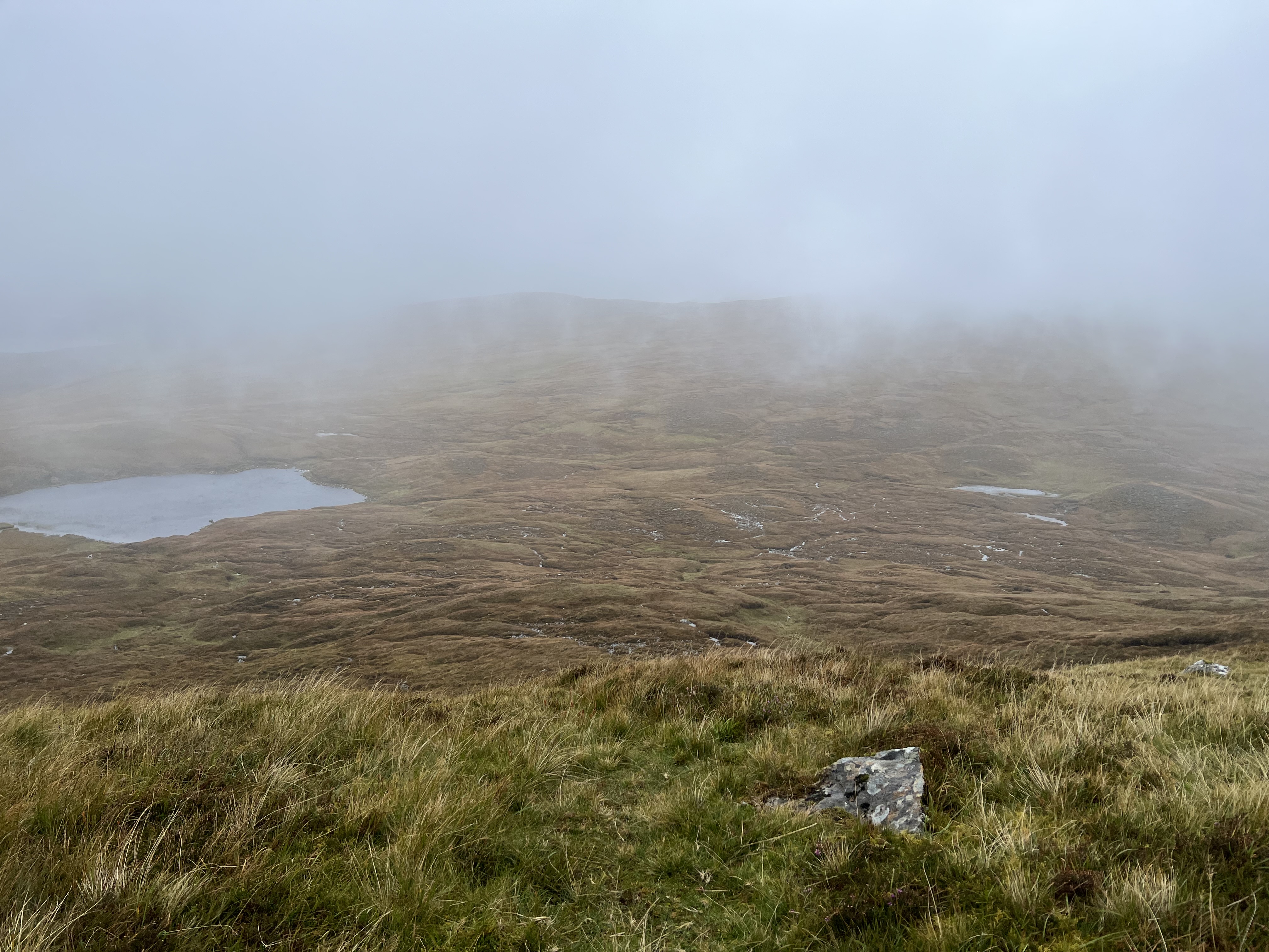
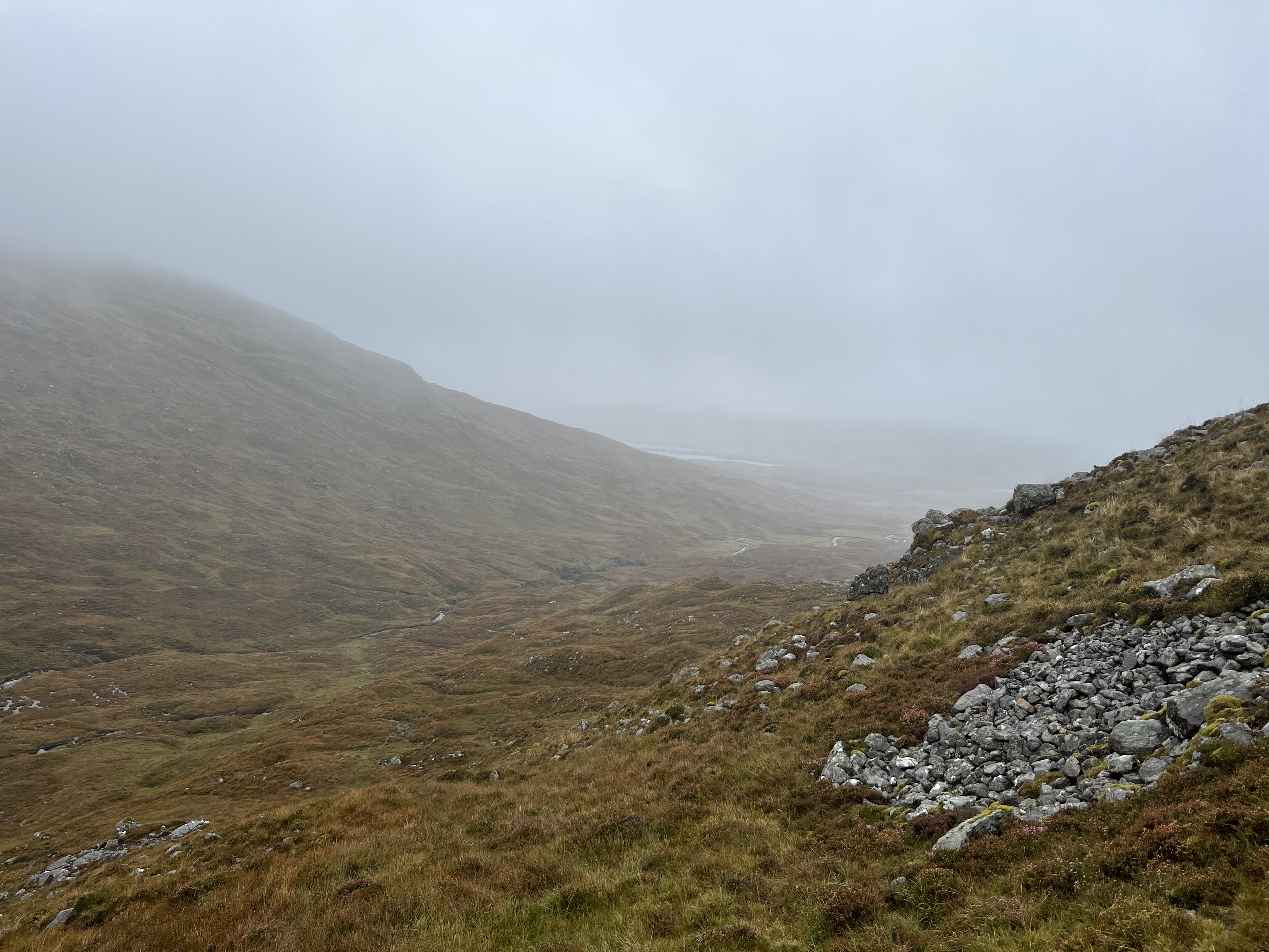
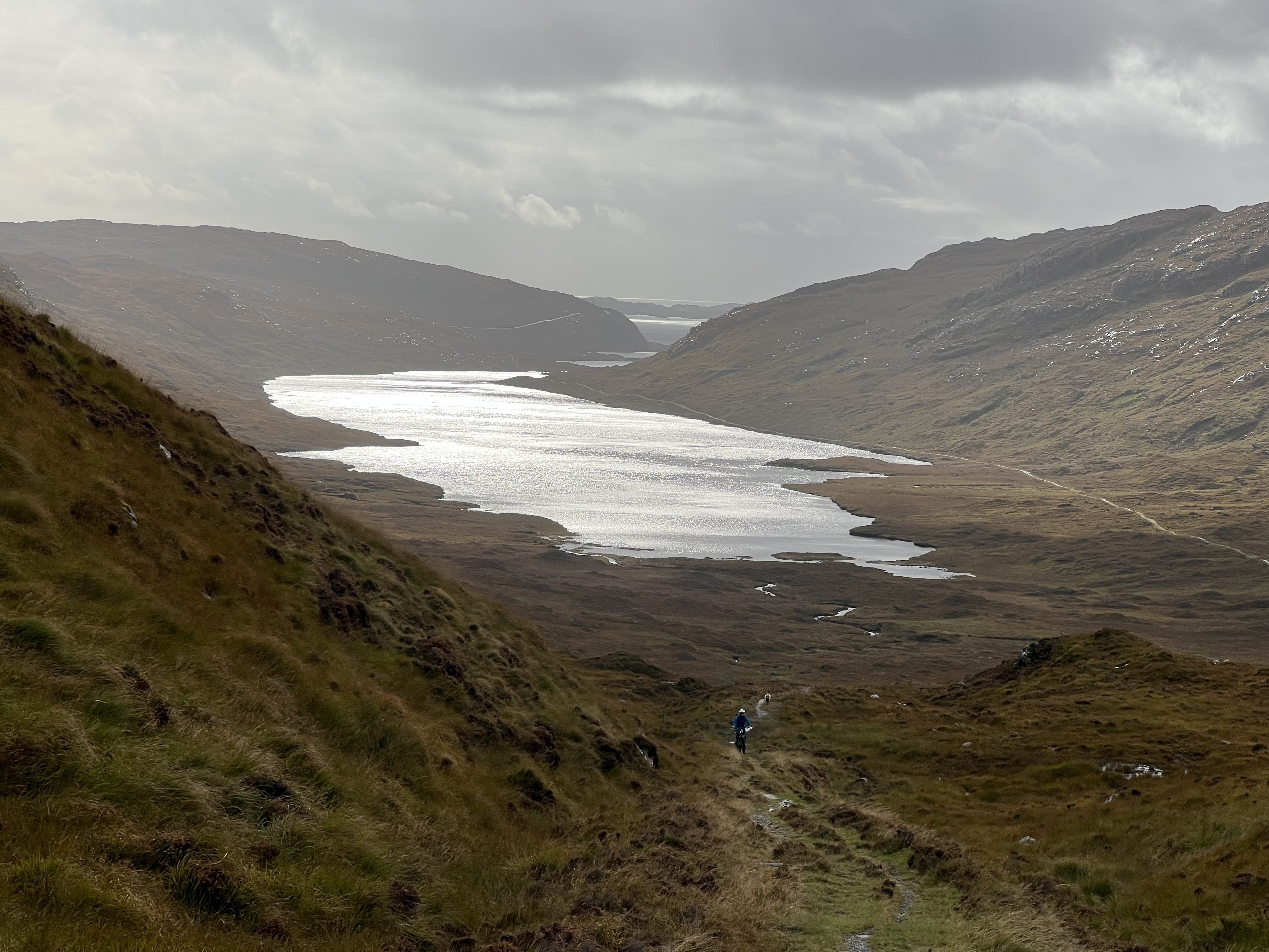
I began my descent of Uisenis which was by following a small stream that entered a rather large loch in the valley. I plodded around the loch sometimes wading knee deep into bog, and then began the nasty ascent to Gormol. As you will see by how close the lines are on my OS map route, this was one heck of a climb!
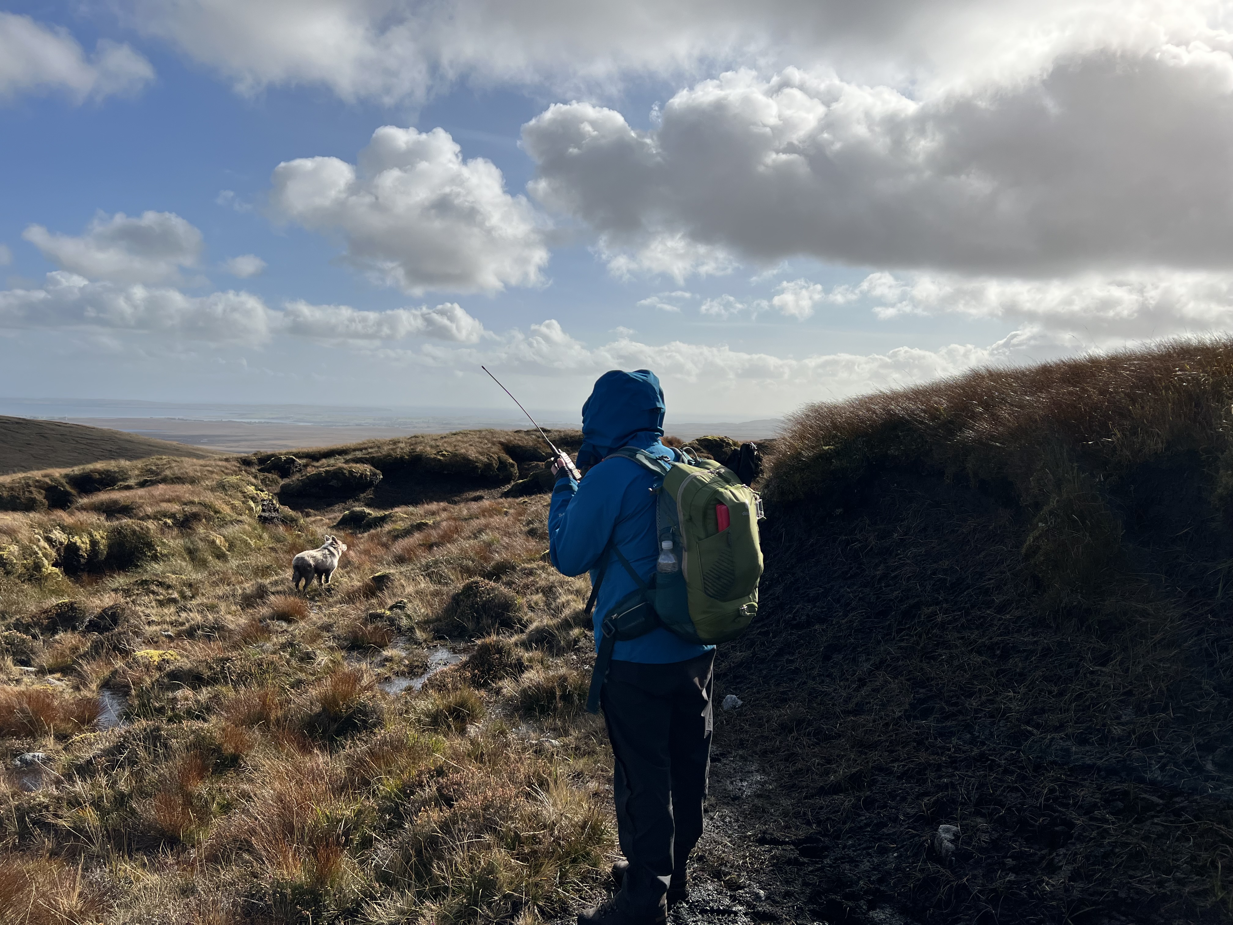
Half way up, I heard someone call out on my hand-held on 145.500, he had no reply so I gave him a shout back - it was nice to talk to someone! I told him what I was doing and he said I’m mad, hahaaa, but he also said he’d gather the troops up on 145-FM for me to qualify the summit - really nice of him!
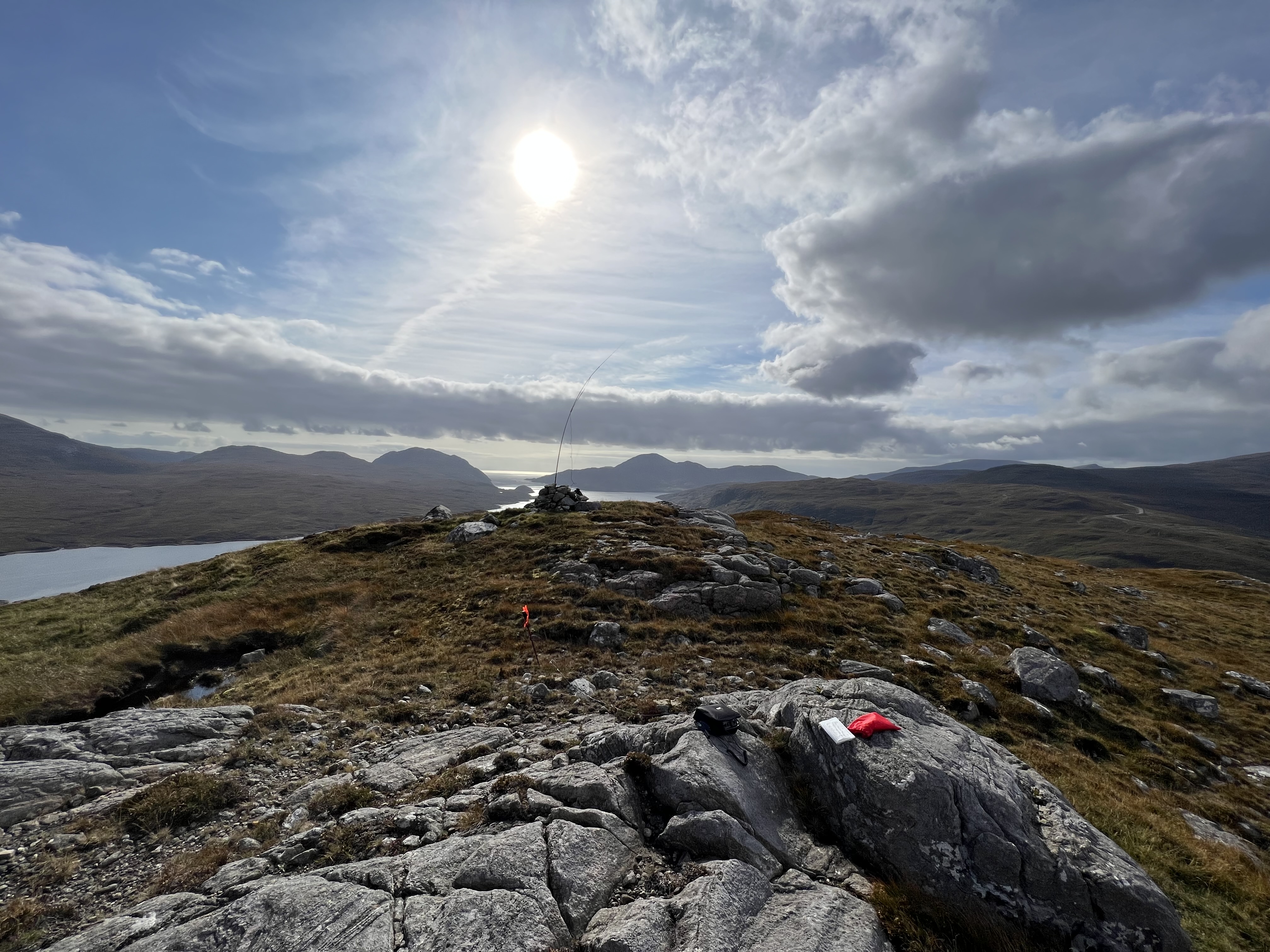
After working 5 local stations on 145-FM, thanks to MM0KNN Chris, I set up shop beside the trig stones and began calling out on 7-SSB. I managed to work a further 17 stations before putting a final call out - the wx took a turn for the worse again, so I ditched CW, packed up, and made a run back to catch my return boat.
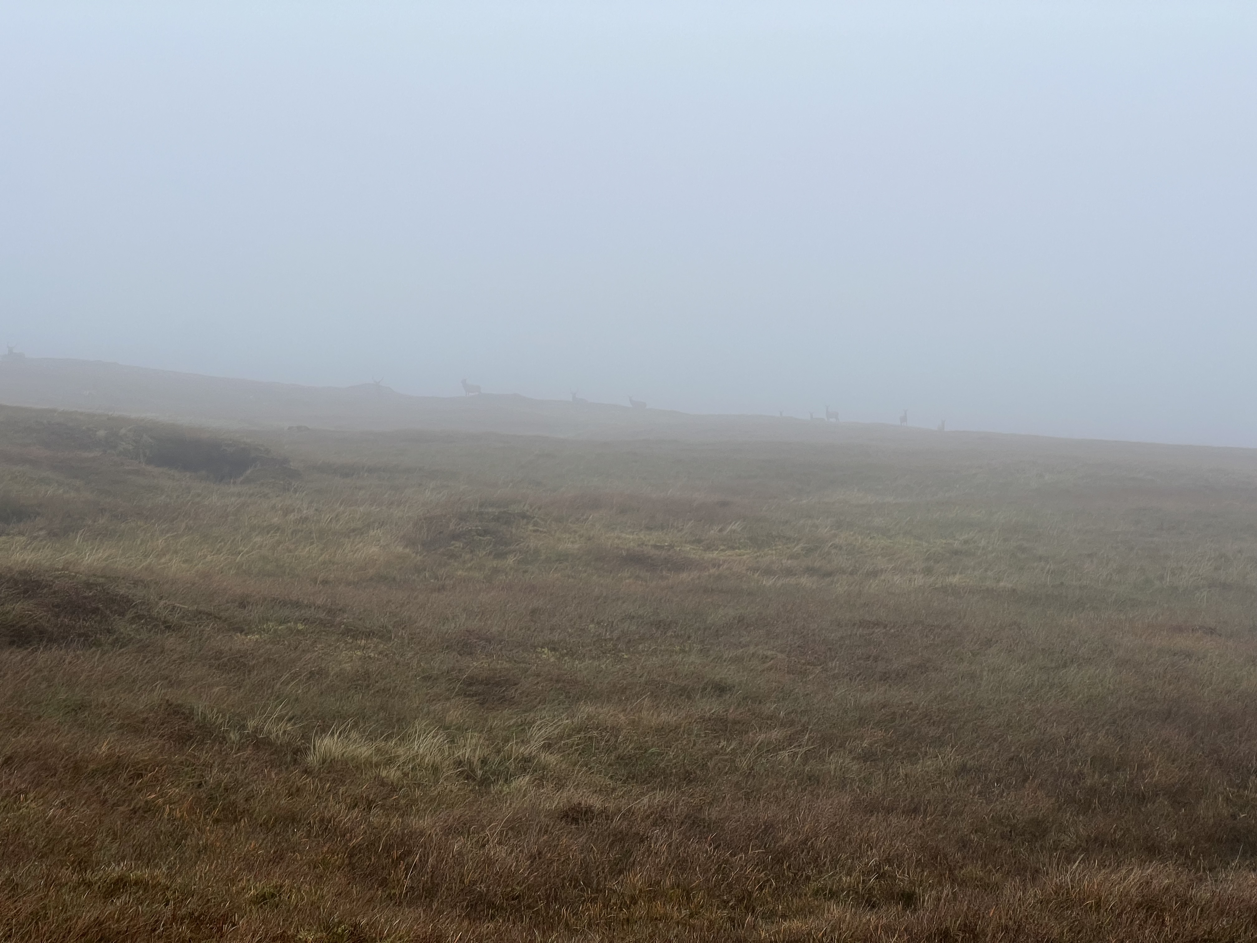
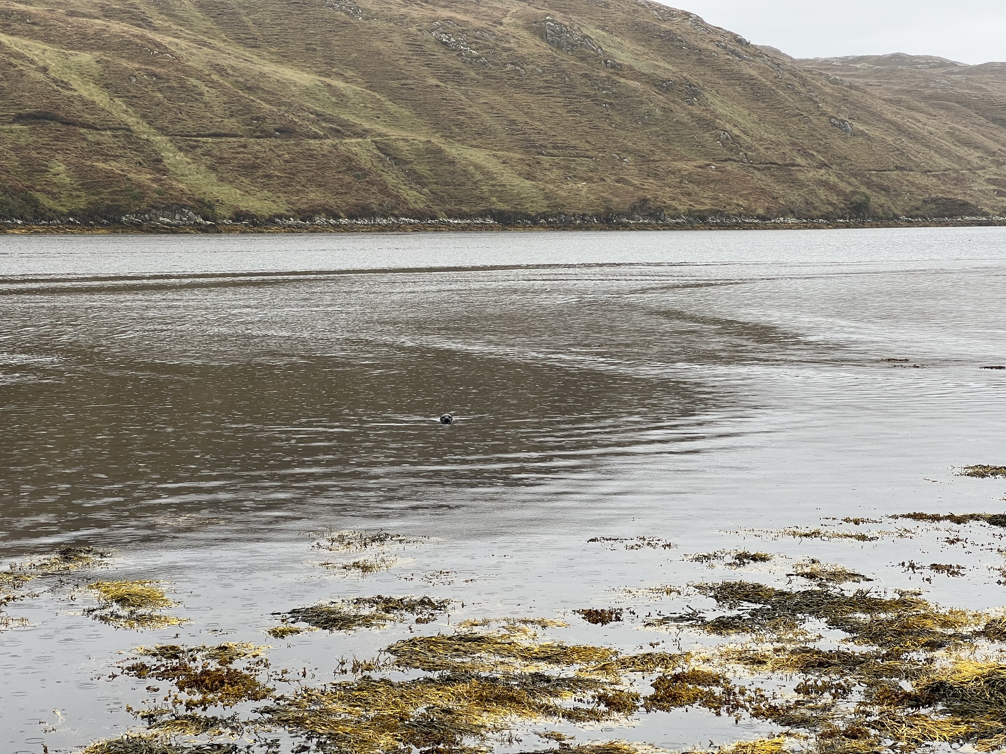
It was a fair trek back through horrible conditions under foot, but I did get to see many Deer on the estate grounds and while waiting for my boat, a friendly Otter popped up to say hello and stayed with me until the boat was in view - happy times ![]()
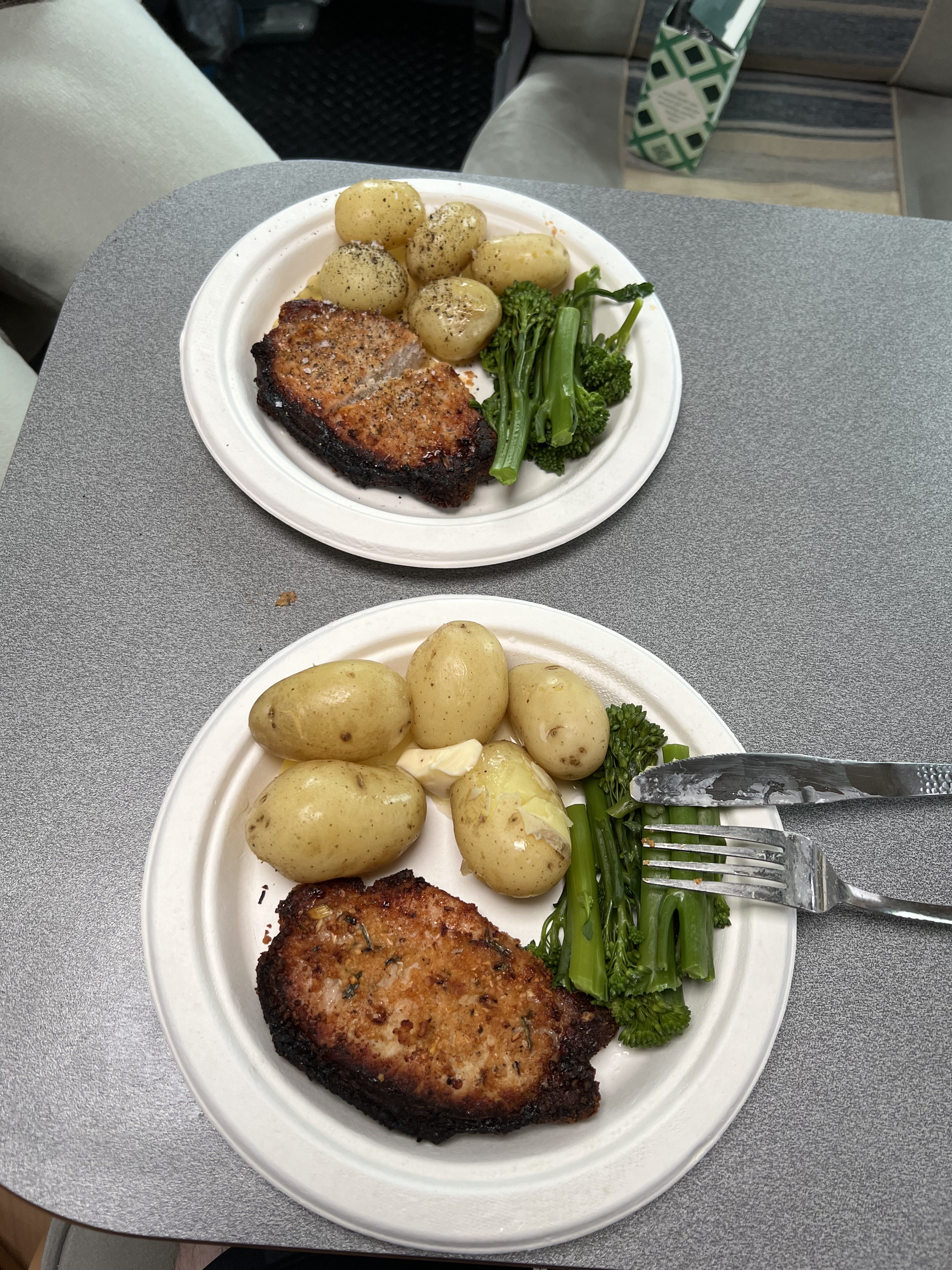
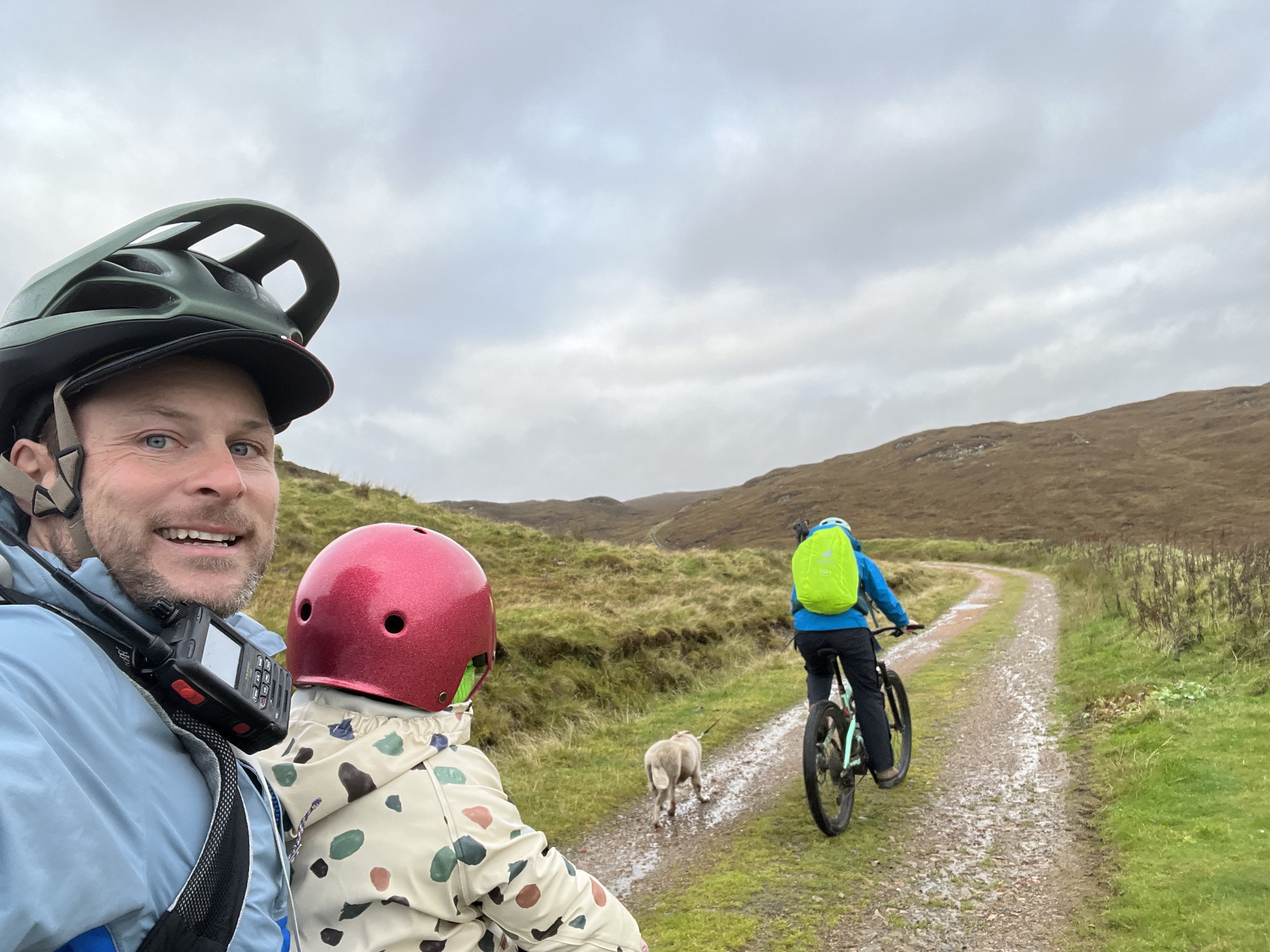
After a good day had out on the mountains, I arrived back to the campervan where Martha and little Lyra had been out for a bike ride in the morning but on there return had been busy cooking me up a lovely campervan pork chop, new potatoes and broccoli dinner - I felt spoilt, thank you family!! ![]()
Thursday 28th September
Muirneag GM/SI-182
Another nice family rest day had brought us to the first family SOTA outing of our trip - this was also a special outing where Martha was to join me activating the summit using her newly licensed call-sign M(M)3MBL.
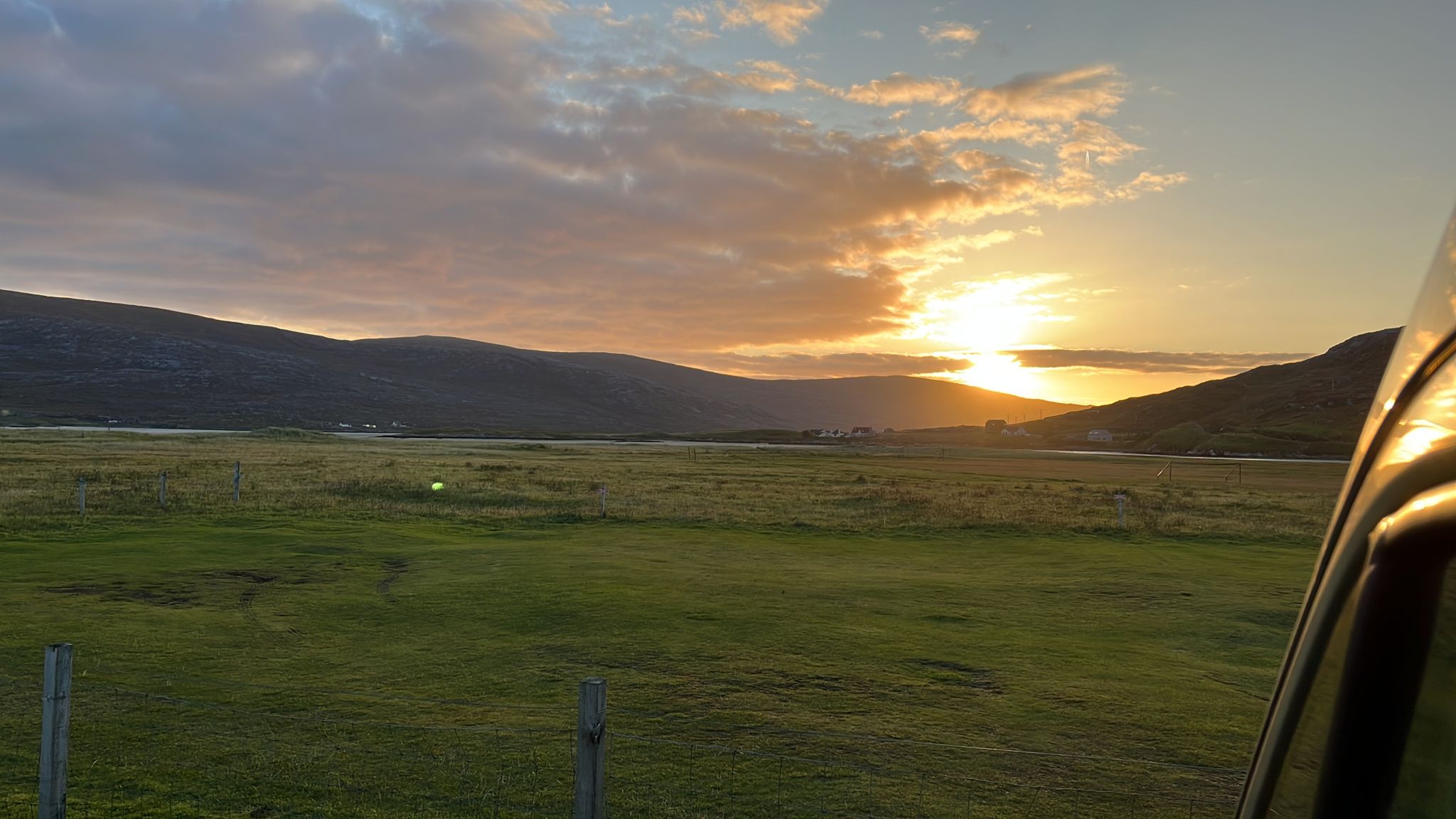
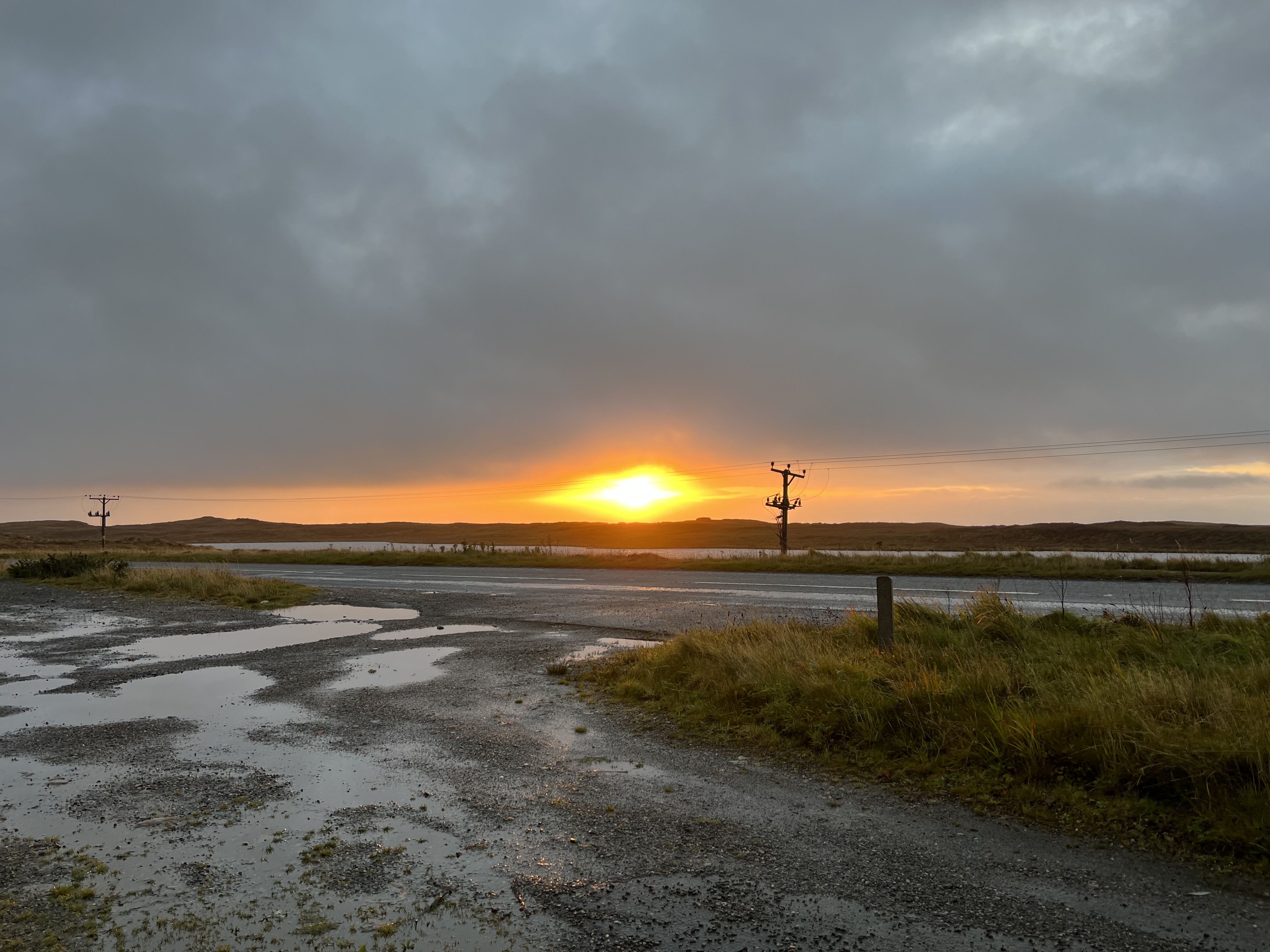
We had parked a few miles up the road to camp for the night from our starting point - the blinds were opened in the camper van first thing to watch the sun rise over the beautiful scenery and mountains north east of the island of Lewis.
The start of this route was approximately 1/2 mile on the bikes, and the rest was one hell of a slog through wet ground, boggy conditions with lochs scattered all over the place!
It didn’t help when I had little Lyra on my back and Martha was carrying my rucksack, which wasn’t far off the same weight. It was mainly full of clothes, snacks and medical supplies - you really don’t know what’s going to happen when out in the middle of nowhere!
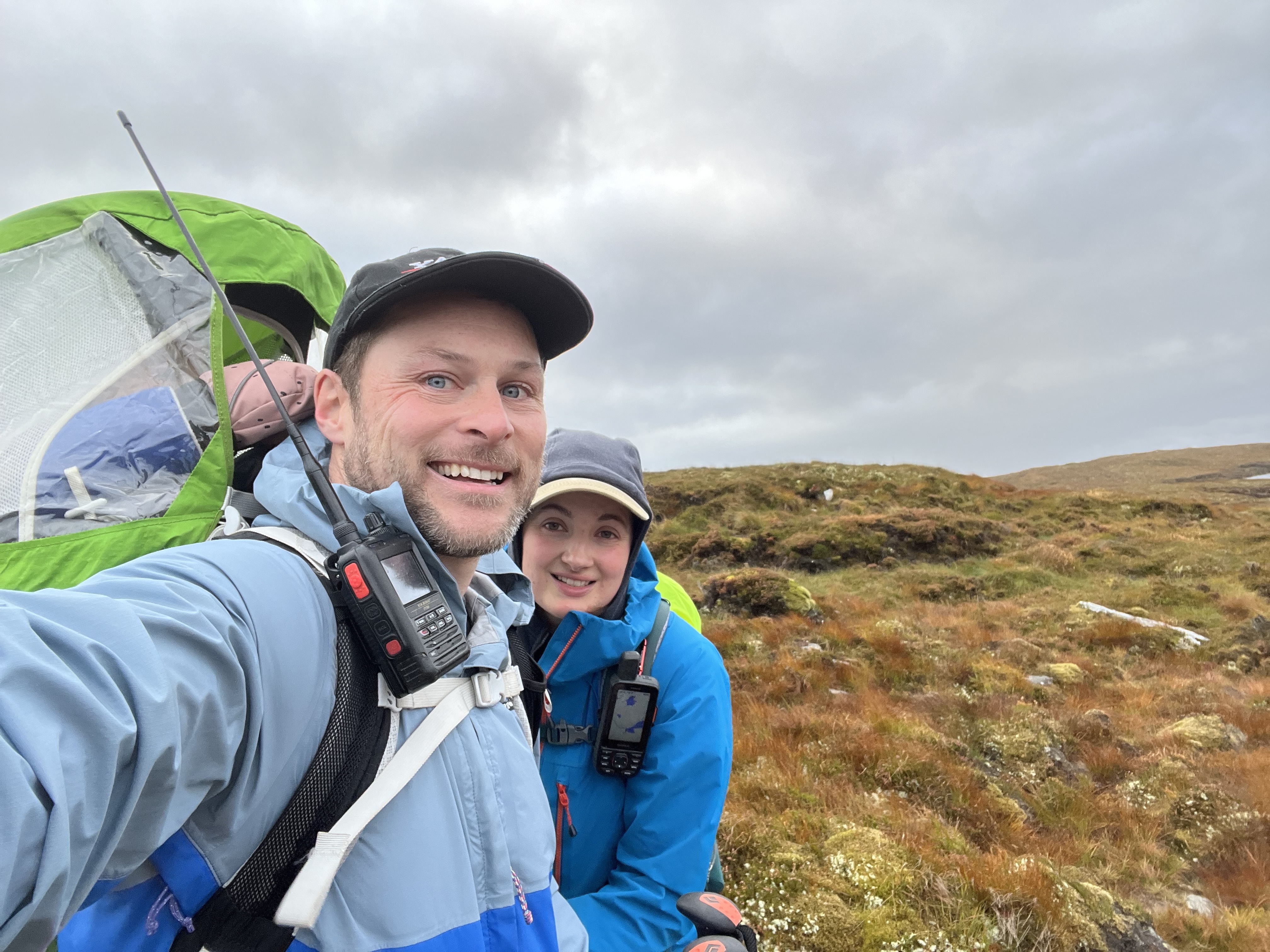
We approached the last half mile where we found heather and tough bracken up to our waist in places, it was so hard trying to push through this stuff. The lump looked so close, yet so far in the back of our heads. We kept our cool, plodded on, and successfully reached the top as a family - what an amazing feeling.
After getting our breath back, Martha gave little Lyra some snacks who was as snug as a bug in her carrier ![]() and I set up the office for Martha to begin her work!
and I set up the office for Martha to begin her work!
This was Martha’s first ever SOTA summit that she was about to activate, this was also the first time someone had ever activated this summit - what an achievement to hit two goals in one on your first activation! Martha was pretty nervous, but managed to work 4 stations to qualify the summit in style - well done that girl ![]() a very proud BML was standing in the background.
a very proud BML was standing in the background.
I then took over and worked a further 20 stations on 7-SSB and finished off with another 5 contacts on 7-CW. What a great feeling, our first joint activation accomplished in style!
After packing up, we took some photo’s, ate some snacks and made our way back on the horrible long route.
Friday 29th September
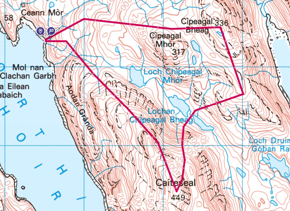
Caiteshal GM/SI-088 & Cipeagil Bheag GM/SI-136
The next two summits of my expedition were meant to be done by kayaking over the sea to the south of Lewis, but as I mentioned above, my kayak guide had given me bad news… so, after speaking with a friend of a friend of another friend ![]() I had a date at 05:30 UTC with another fisherman who kindly said he’d drop me off and even collect me once finished - happy days. As most of you will know, I like my early starts, so this suited me down to the ground. The only worry I had in the back of my mind was, I didn’t know the Island well, so hiking/climbing in the dark wasn’t the best idea. I jumped in my sea taxi and off we went to begin the route.
I had a date at 05:30 UTC with another fisherman who kindly said he’d drop me off and even collect me once finished - happy days. As most of you will know, I like my early starts, so this suited me down to the ground. The only worry I had in the back of my mind was, I didn’t know the Island well, so hiking/climbing in the dark wasn’t the best idea. I jumped in my sea taxi and off we went to begin the route.
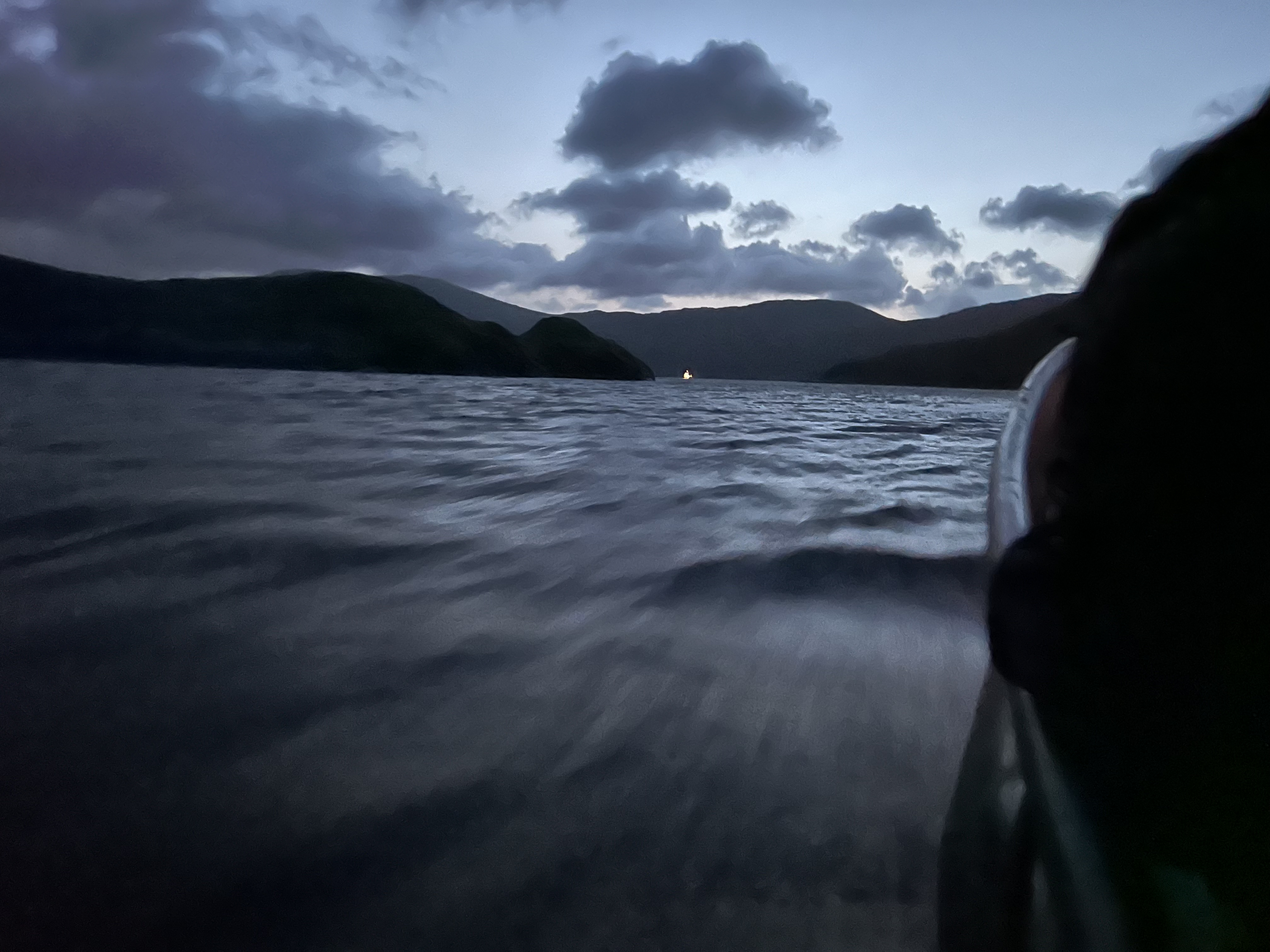
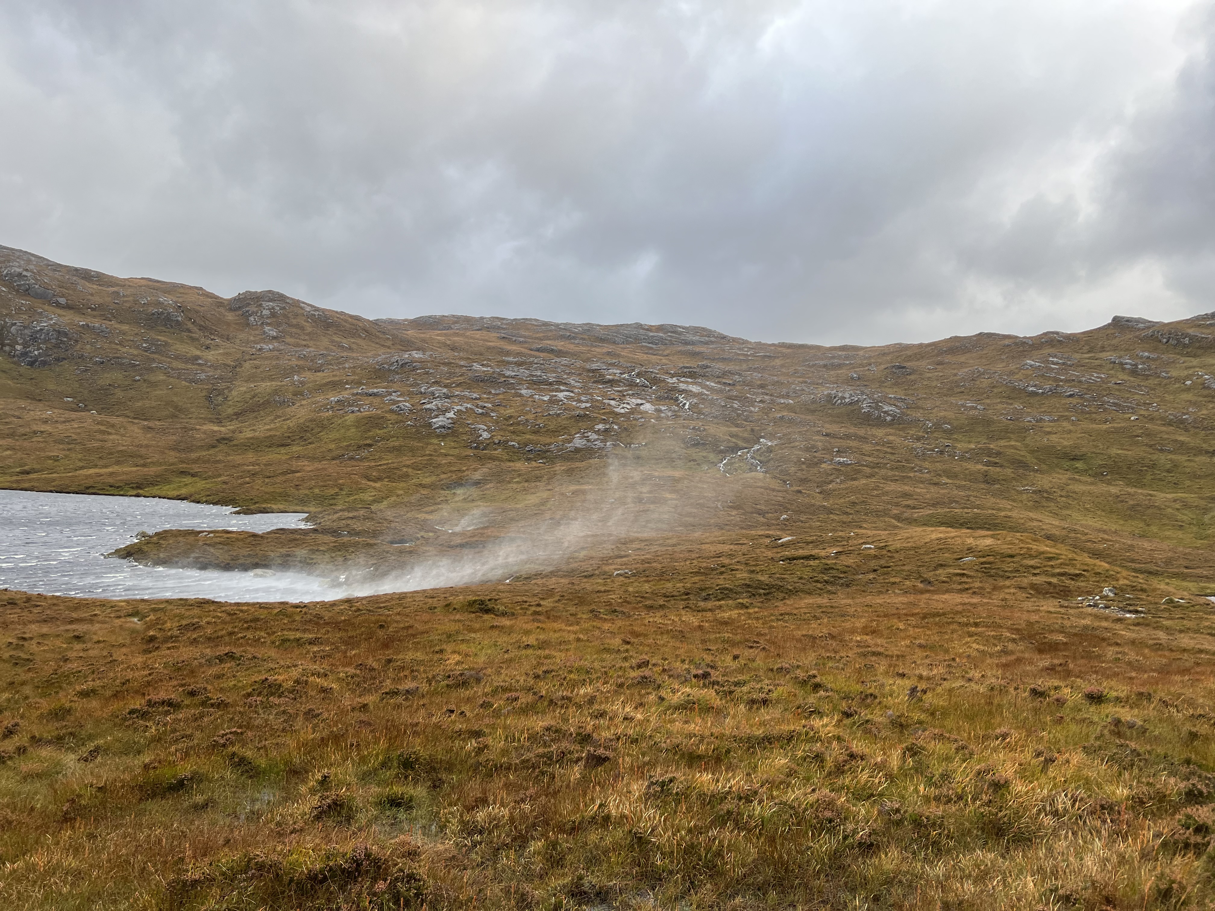
I was dropped off in a place called Kenmore where I erected my walking poles and began my hike to Caiteshal GM/SI-088. This didn’t start off to well, I couldn’t find a safe place to ascend the first part of my climb. It was still pretty dark and I had gained height very quickly because of the vertical ascent, but the sea and rocks below me looked very far away and very low down.
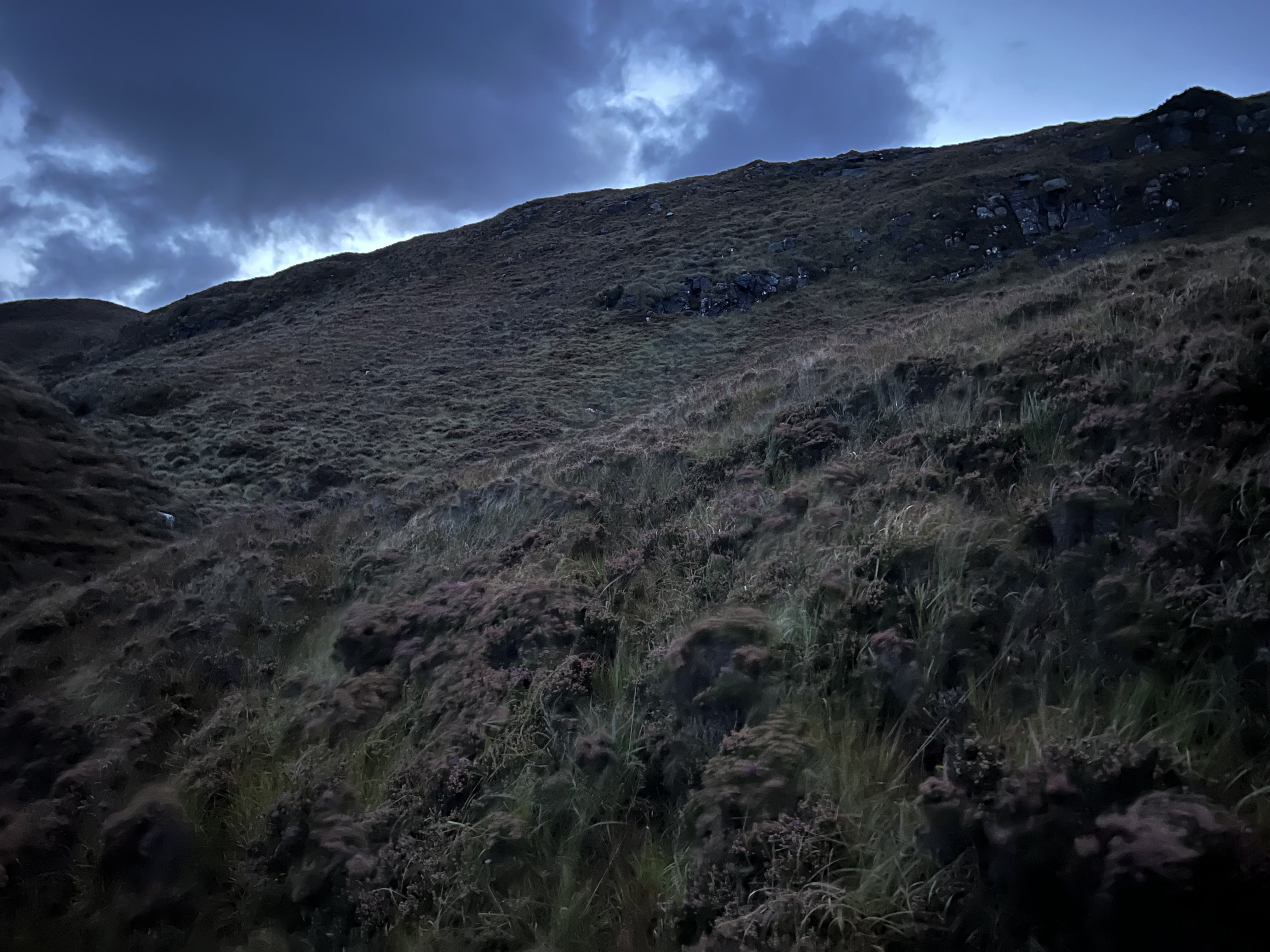
After having to double back a couple of times, I found a slight opening where I scrambled over onto the ridge - I was now on track! This summit reminded me of a little Tryfan GW/NW-006, where you had to scramble in quite a few places. The rock and stone made it easier under foot, much better than the boggy stuff. This sped my walking up dramatically and I found myself looking at the trig stones in no time.
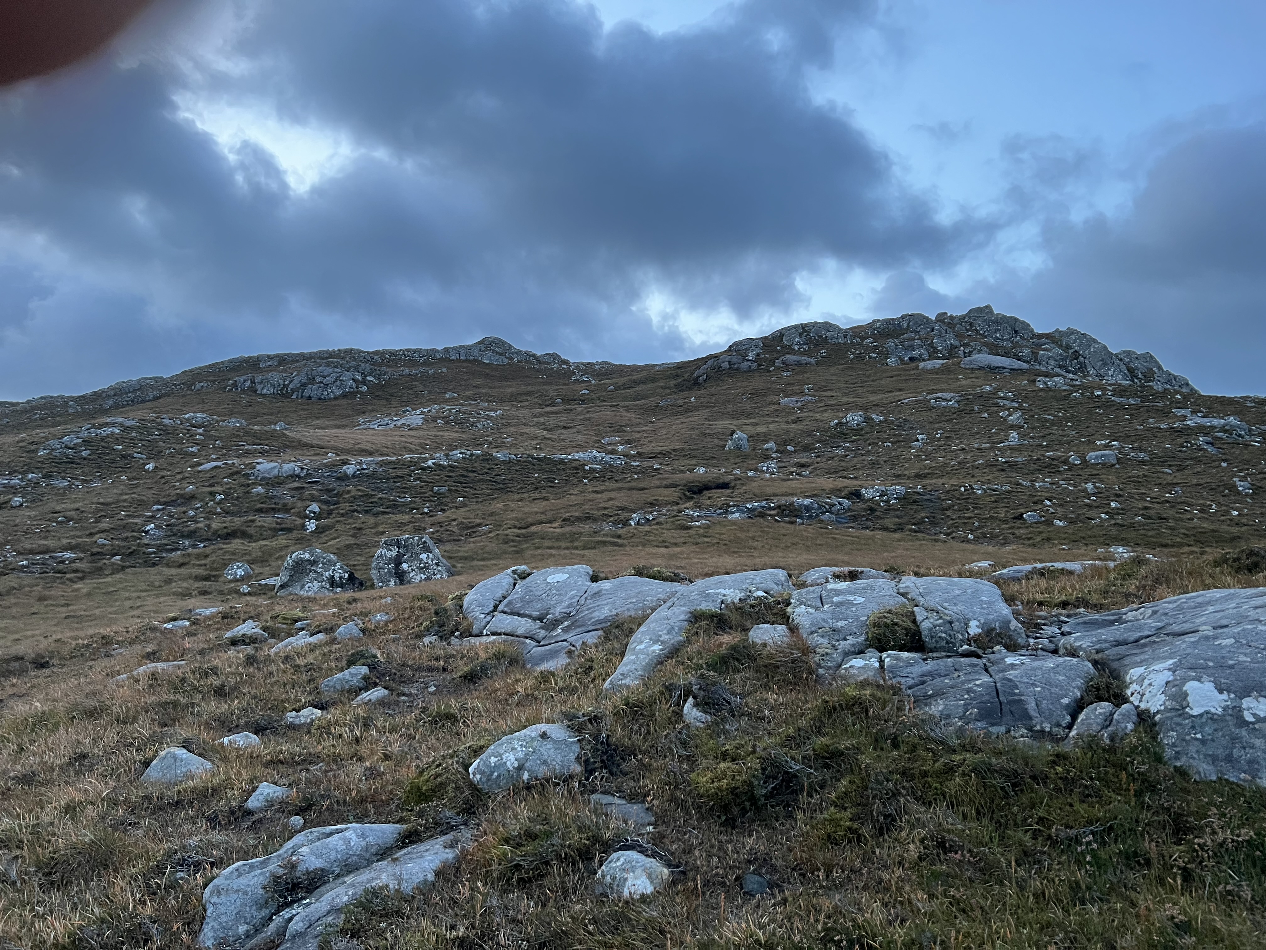
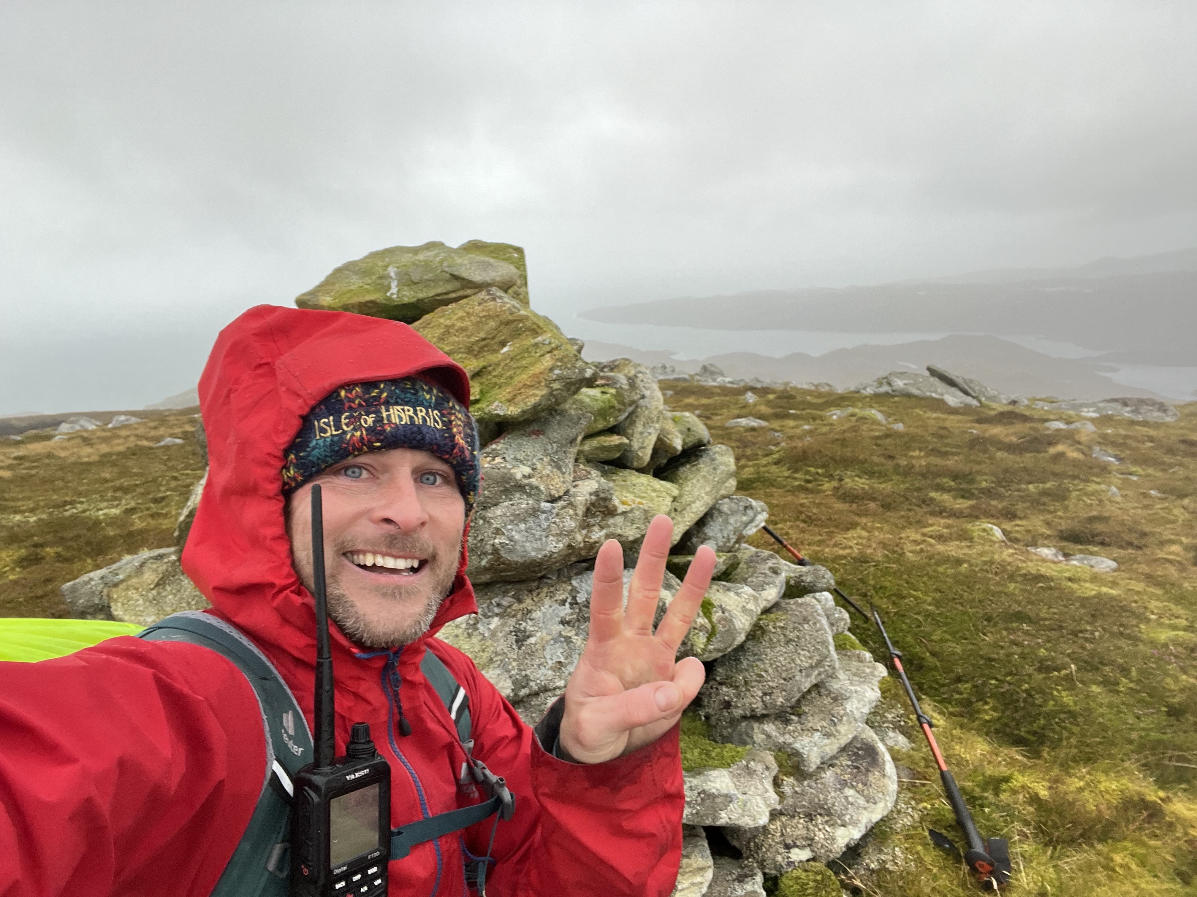
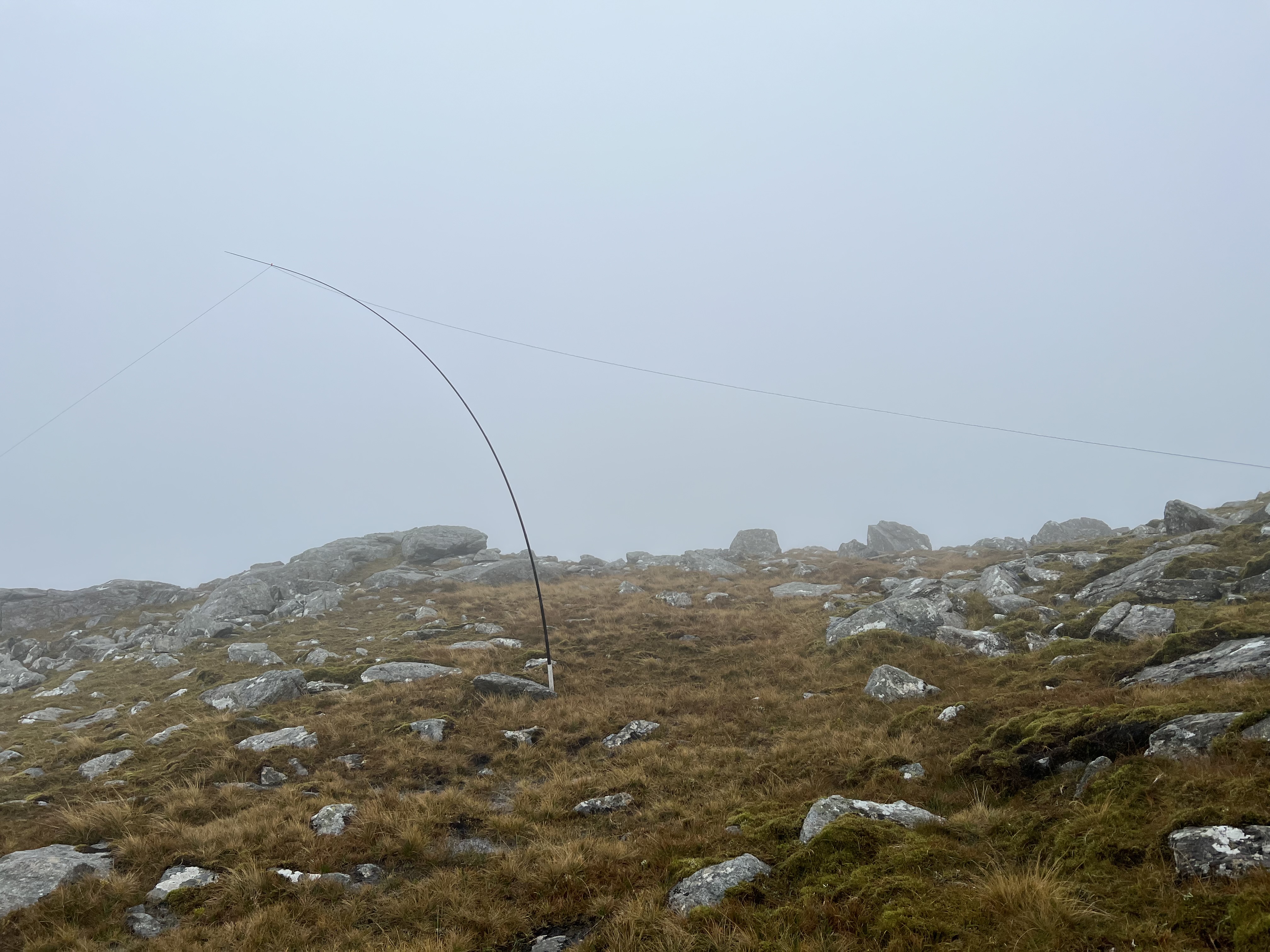
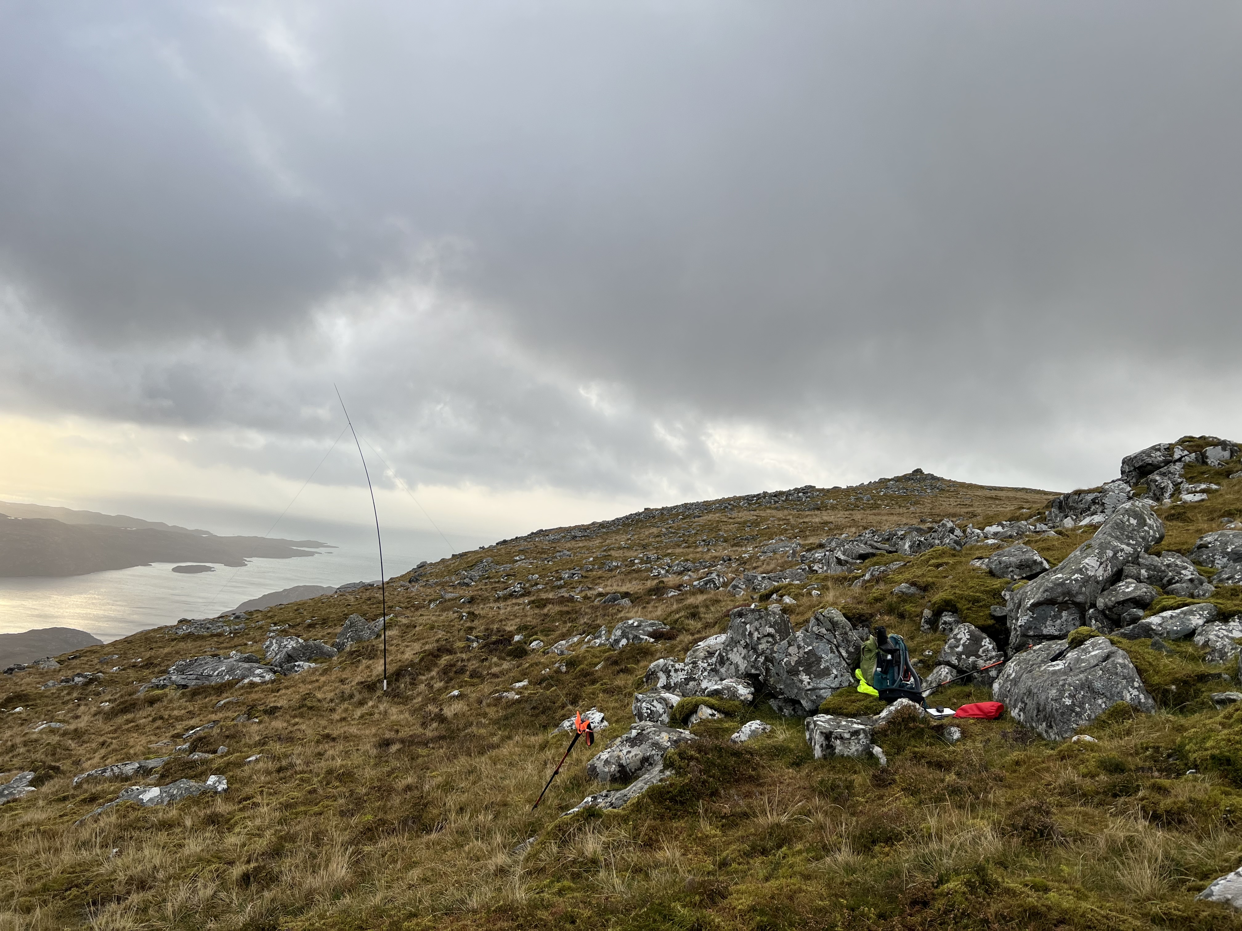
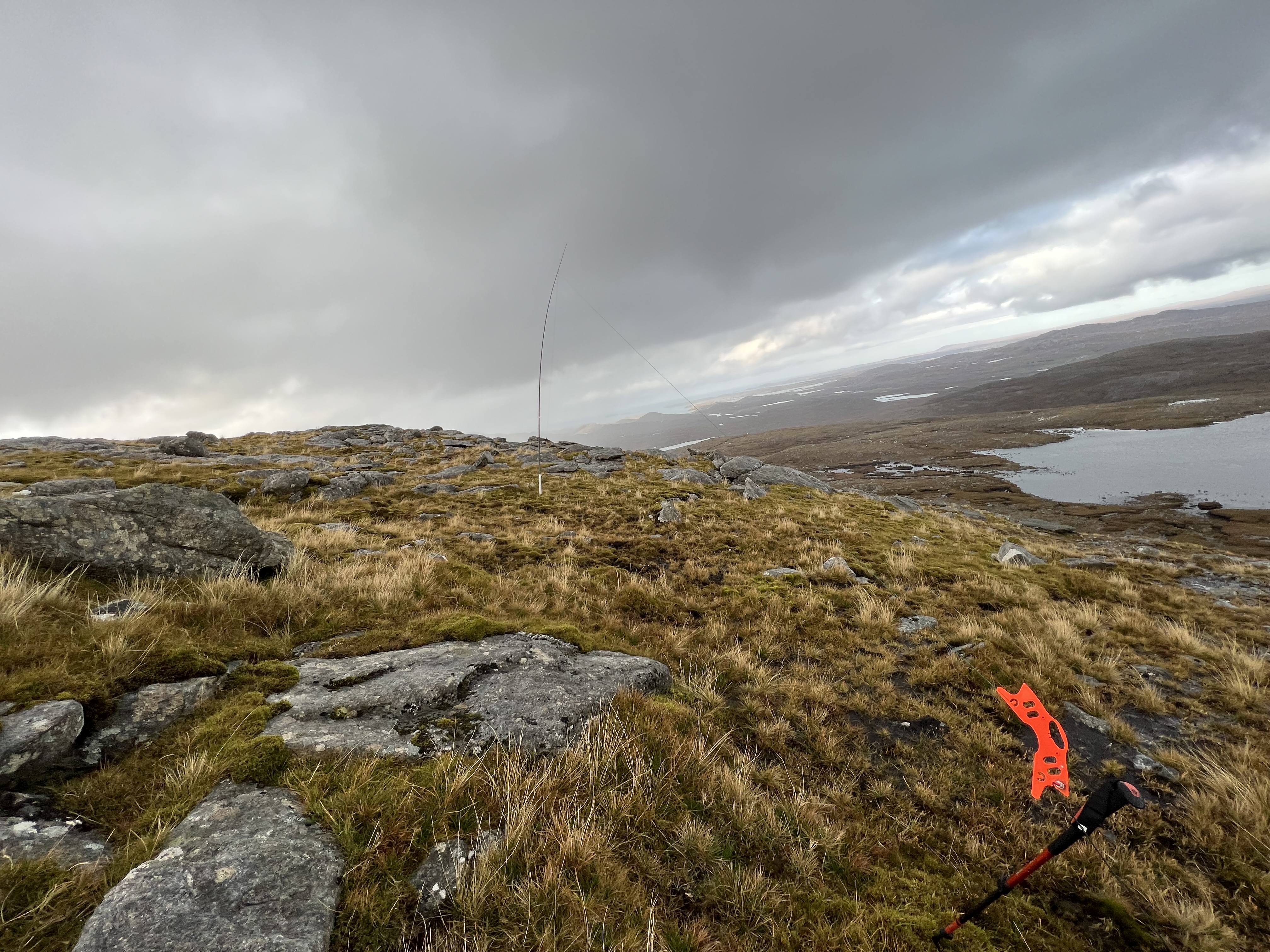
This summit was right beside the sea, so you can imagine the wind on top - it was pretty fierce. So, after a summit selfie, I dropped down slightly to find a place that shaded me. After setting up my station, I put a call out on 7-CW managing to work 8 stations in the log. Inter-G propagation wasn’t working very well on 7MHz, so I moved over to 5-CW to see if that was any better and I could work some locals - to my surprize, it was. I worked another 5 stations and then 4 on 5-SSB. Before moving on, I thought I’d give 7-SSB a go and see if the band had opened, good news, it had. I worked a final 10 stations before packing up and making my way to summit number two.
It was great to reach the top of Caiteshal and activate it, the next step was getting back down! Again, I struggled, if you look at the OSmap, the lines are extremely close and it is all rock and bog with dramatical drops!
The wx began to poor with rain which didn’t help, so I had to stop and re-work my route. After 5 minutes of having a re-think, I decided to walk around the big lump and aim to descend between two lochs in the bottom.
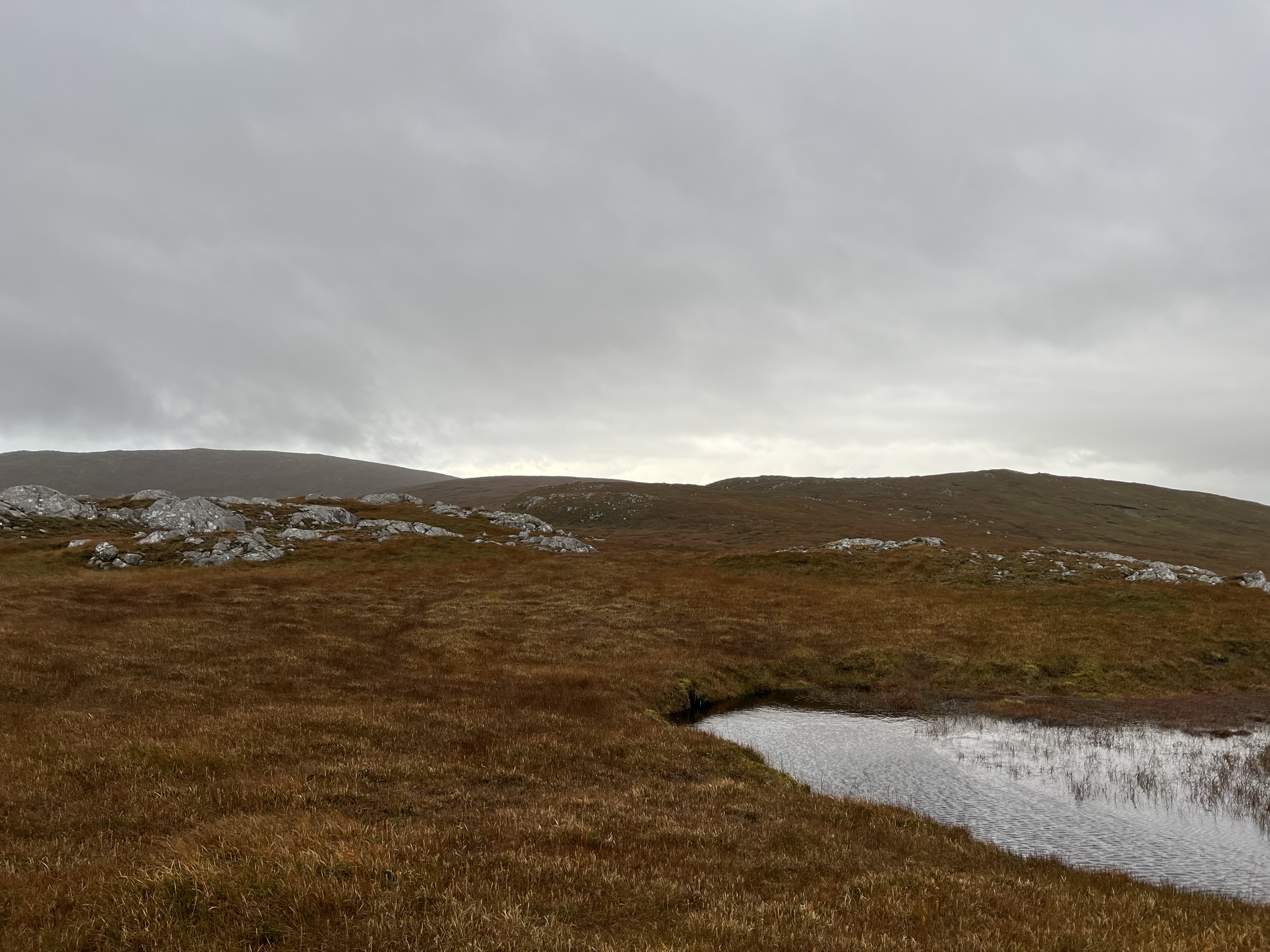
You will see from my images how hard the wind and rain was hitting the west of the Island of Lewis - I know some of you may think this is silly, but I stood between both lochs while the wind roared and the rain poured, it was a really good feeling - what a fresh of breath air!
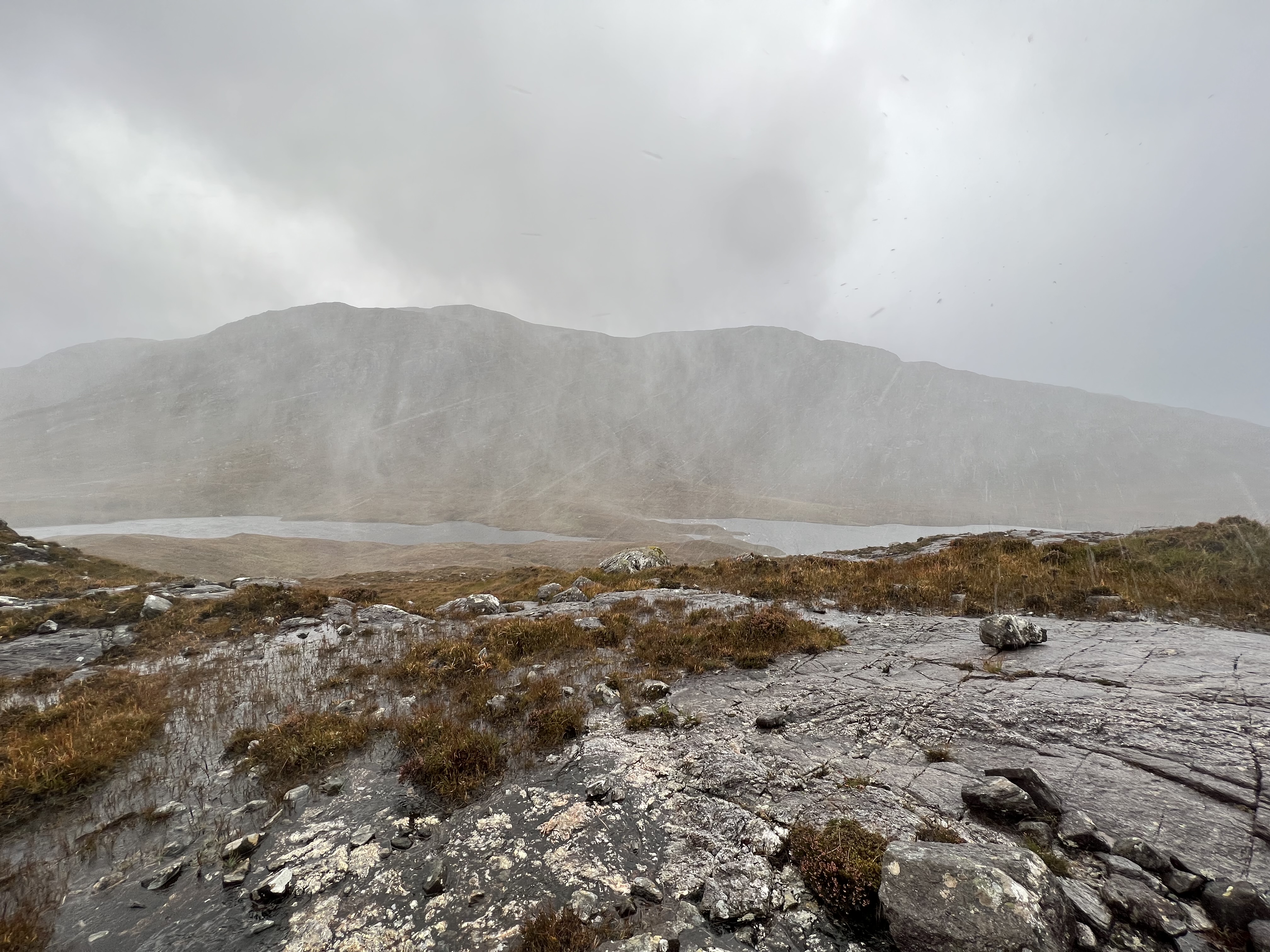
My next target came into view after crossing between the lochs (also getting a soaking at the same time) Cipeagil Bheag GM/SI-136, a small summit looking at the map, but definitely not for the faint hearted! I must say, the rock under feet really helped again with my pace, it certainly beat the boggy ground. On times I’d look back at the mighty Caiteshal in the distance which stood out like a soar thumb - what a great looking mountain.
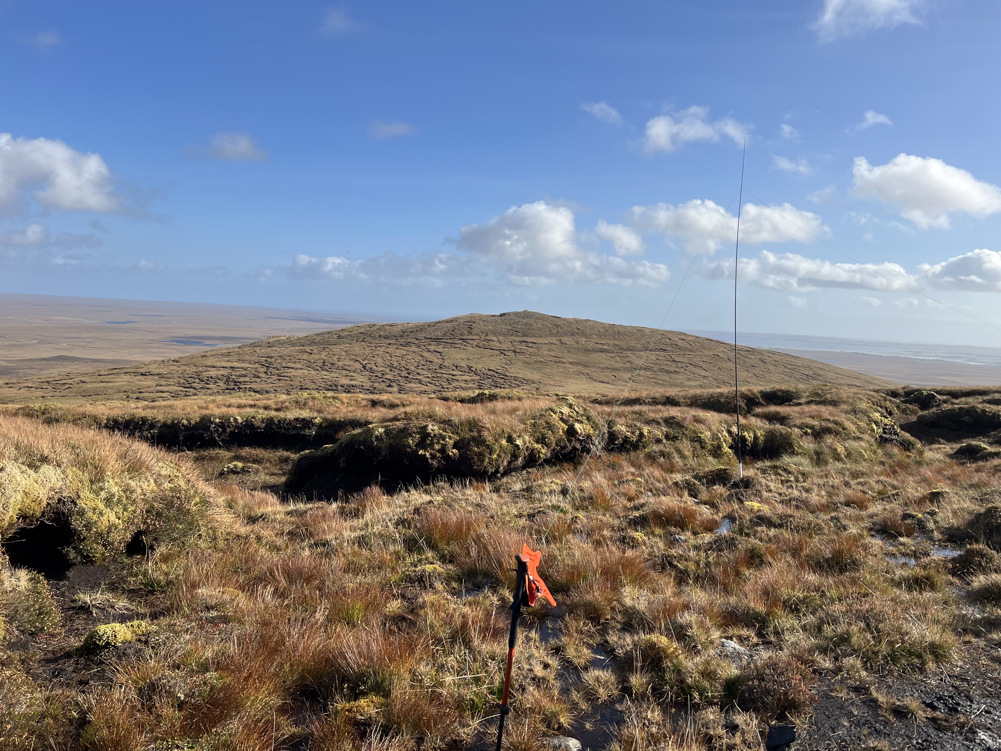
Keeping my head down and plodding on, in no time I was setting up on the summit of Cipeagil Bheag GM/SI-136. The rocky conditions on top made it easy for me to find a support to jam my antenna mast in. The bands were working extremely well, I began on 7-CW and worked a nice pile-up with 19 stations logged. I pressed the mode button on the KX2, flicked the VFO up to the SSB portion of the band and called out CQ SOTA. The return was brilliant adding another 22 stations to my log, one included a S2S contact - thanks Bob @G0KYS and again I had the support from the RSGB president John McCullagh ![]() thank you!
thank you!
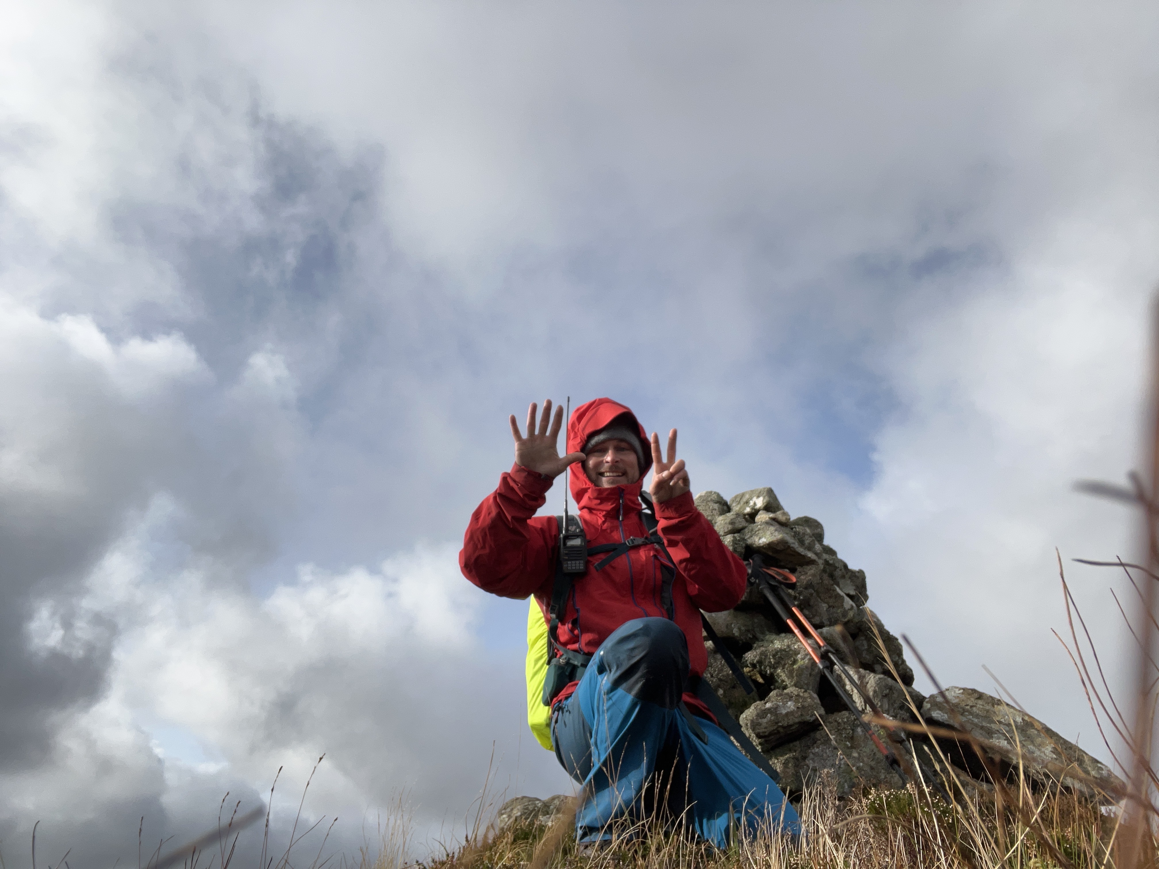
Unfortunately no takers on 145-FM, I was in quite a dip and I know Martha was out with little Lyra on the bike, so it was time to call it a day, have a summit selfie - number 7 ![]() and make my way back to the sea to find a fisherman.
and make my way back to the sea to find a fisherman.
We then had a nice family afternoon at the beach watching the sun set over the sea - you really can’t beat these times.
Saturday 30th September
Beinn Mheadhonach GM/SI-112
Today was meant to be a family day with no SOTA. We were all up quite early and enjoyed a nice long morning exploring the Island of Harris. We managed to get out on our bikes for an hour followed by a stop at the loom shed in Tarbert for a curry pie and vanilla latte - I do recommend if you are on the Island.
The wx then took a slight turn for the worse, so I said to Martha, I was not going to waste any time and decided to attempt the 8th SOTA summit of my expedition, Beinn Mheadhonach GM/SI-112. This was a 3 mile hike through bog and peat hags at the start and finished off with the last half a mile being a rocky steep ascent.
I was getting quite used to the soft and damp ground under foot by now, so my pace was getting better ![]()
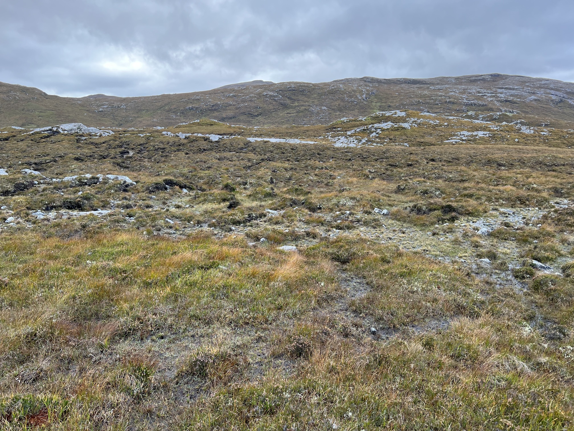
It wasn’t long until I was facing my last steep rocky ascent:
I reached the top when the heavens decided to open and I had nowhere really to shelter from the rain - I got pretty soaked. Anyhow, this didn’t stop me from setting my HF gear up and calling the usual CQ SOTA song out over the airways from the top.
The bands were working well - I managed 9 stations in the log on 7-CW, 13 stations on 7-SSB and finished off with 1 on 5-SSB. A really good day had and another summit executed on my list!
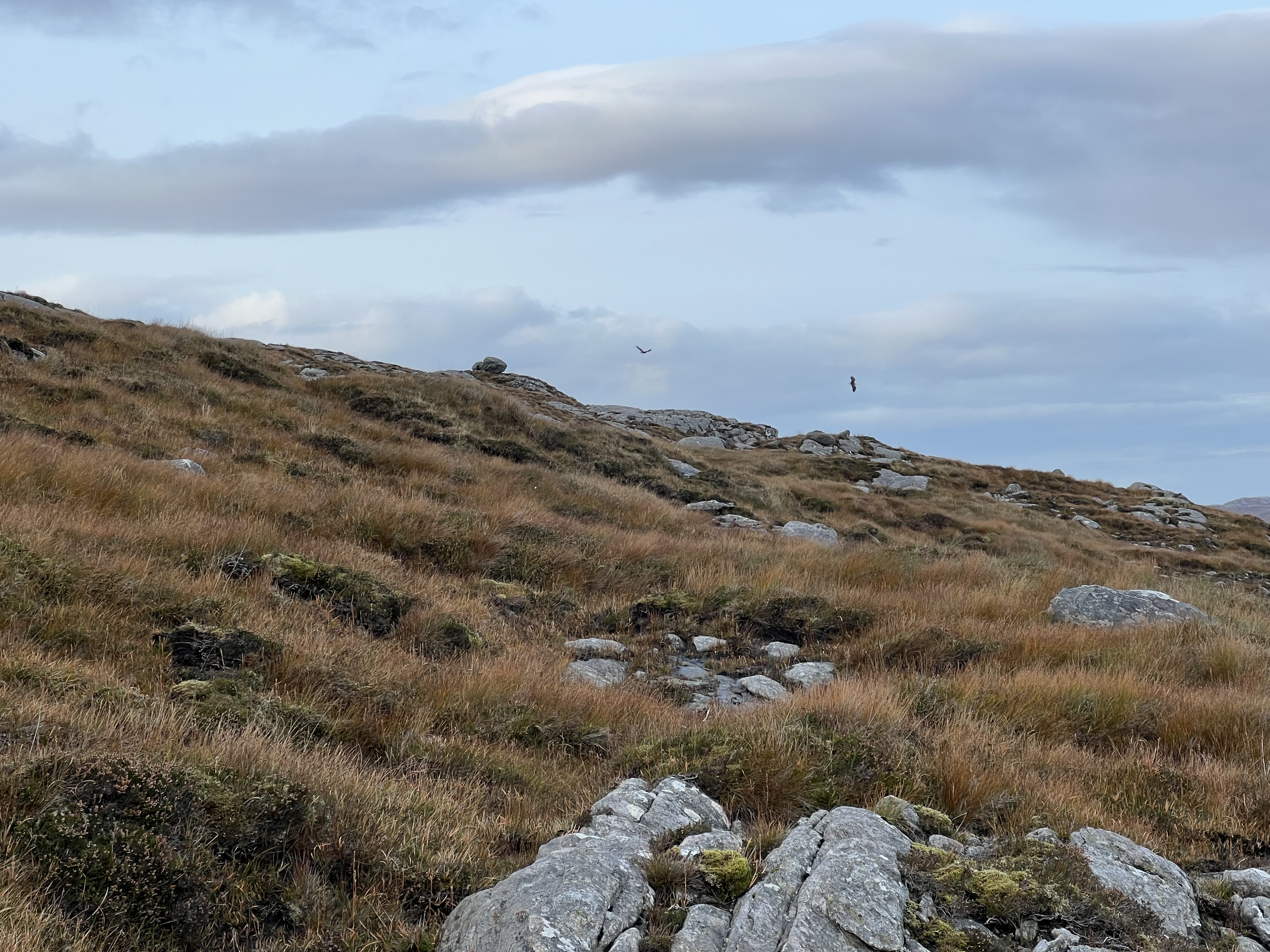
The wx had picked back up, so my descent was a lovely walk back to the campervan in the sun also managing to see a couple of Golden Eagles hovering over me ![]()
Sunday 1st October
Beinn Mholach GM/SI-156
Today was to be the second family SOTA adventure we had planned down on paperwork. The route looked pretty flattish until the last pull to the summit, so we thought we’d all reach the top in a good time! The route taken follows:
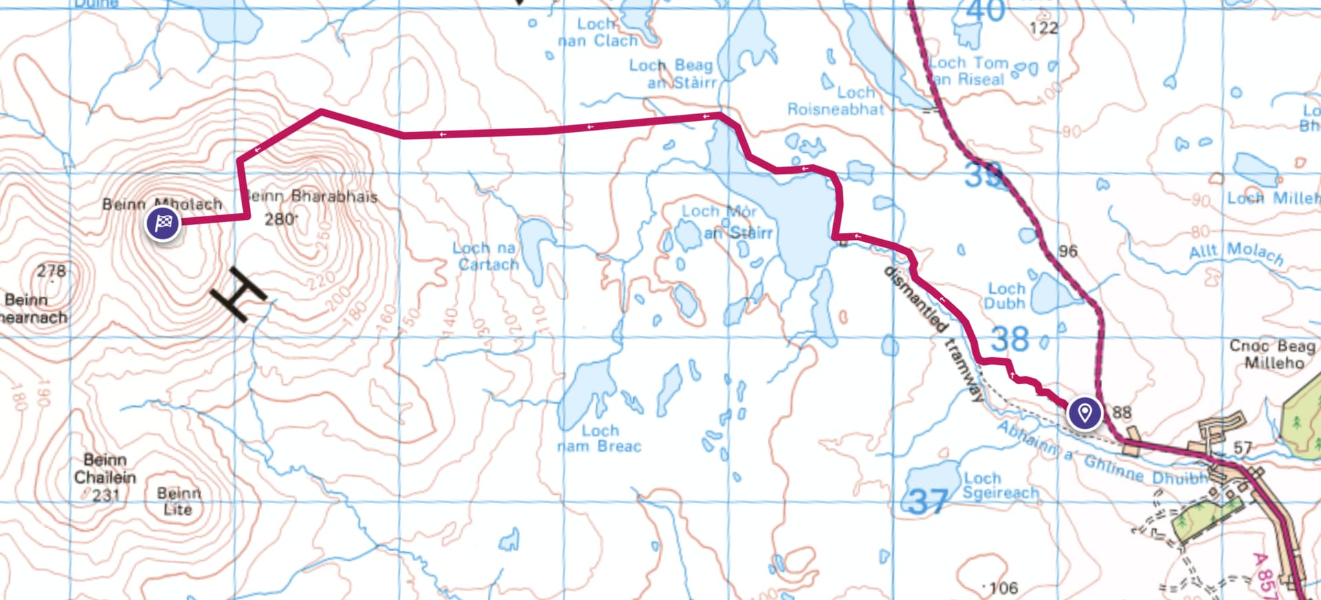
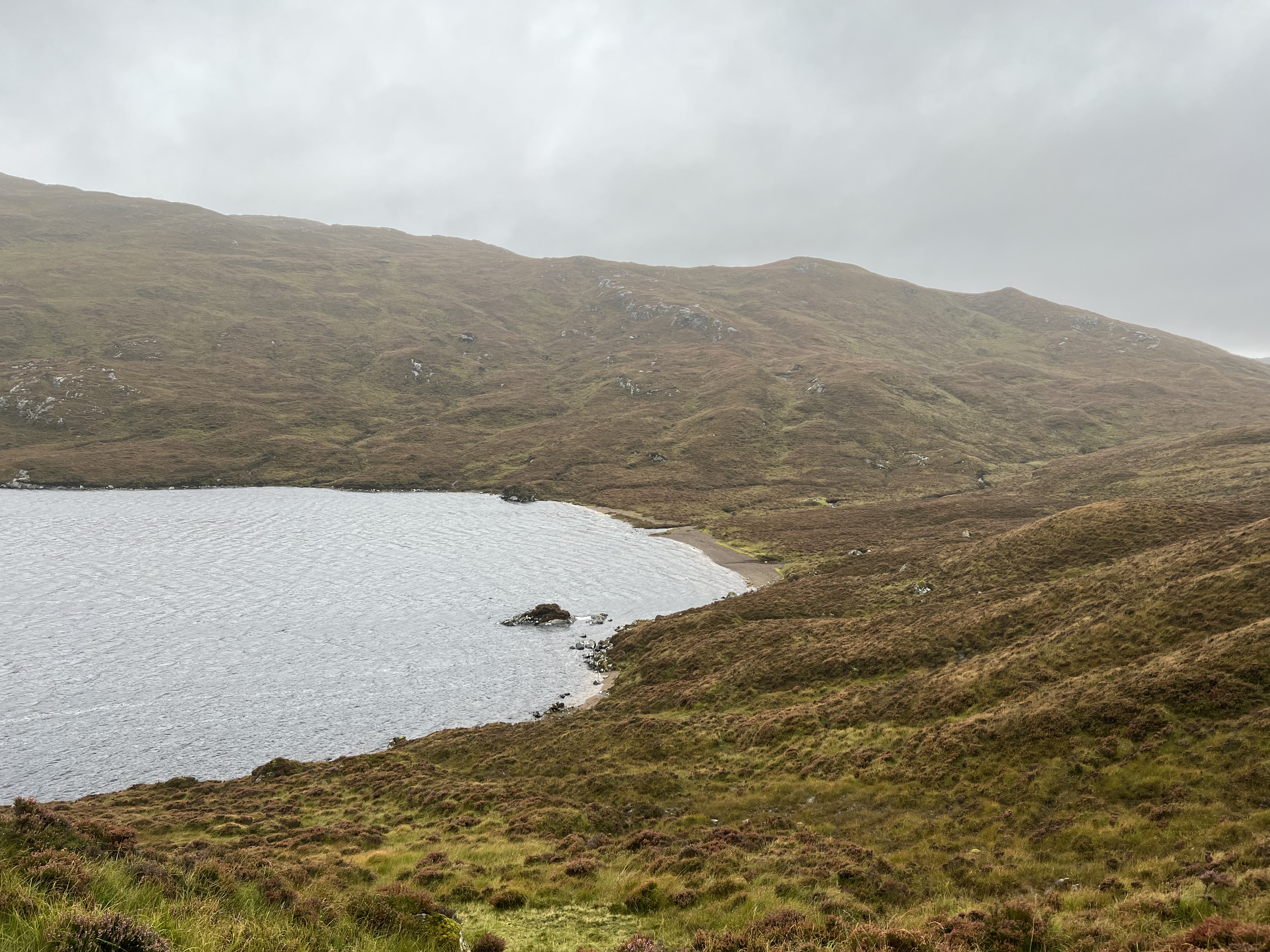
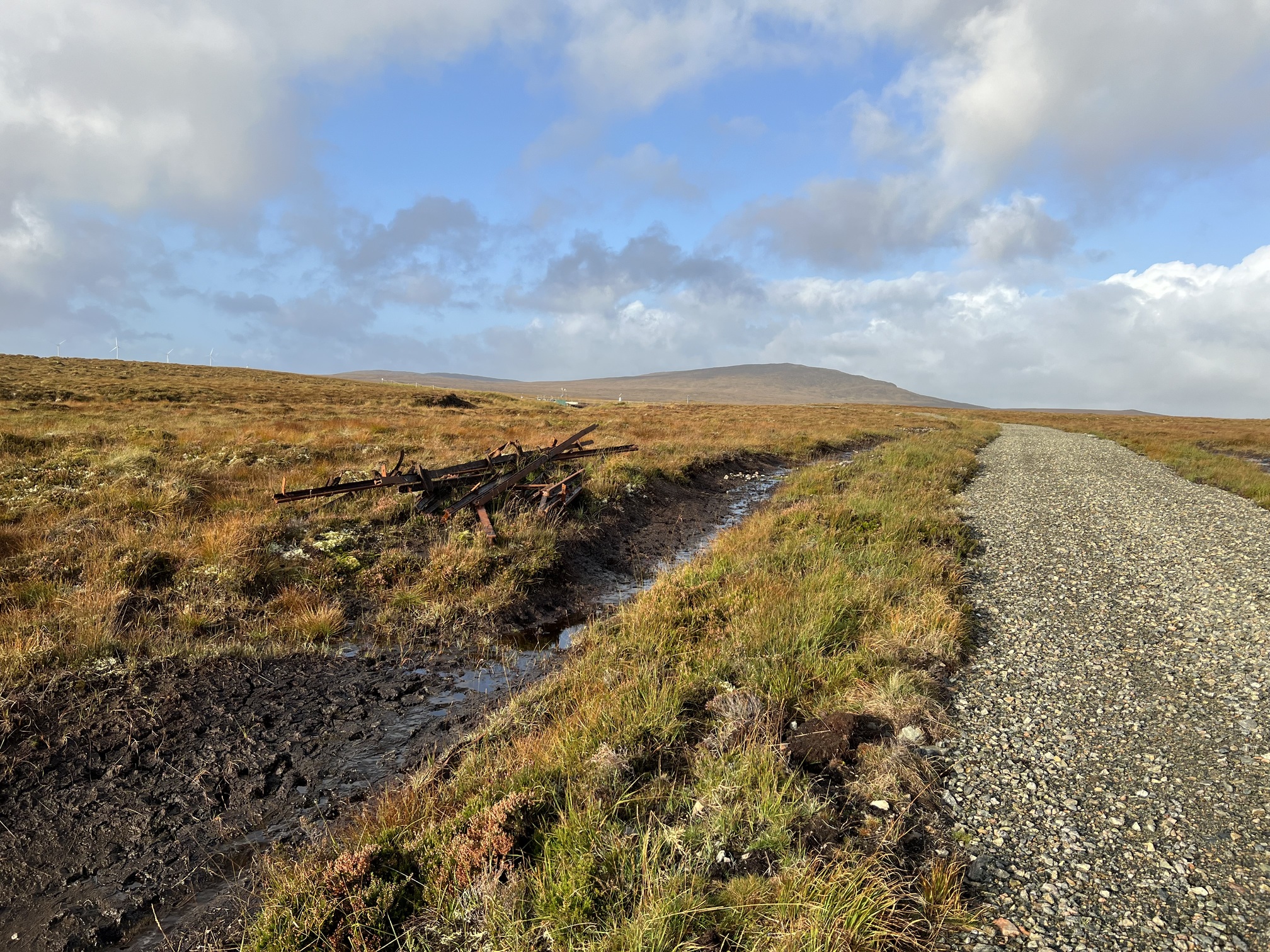
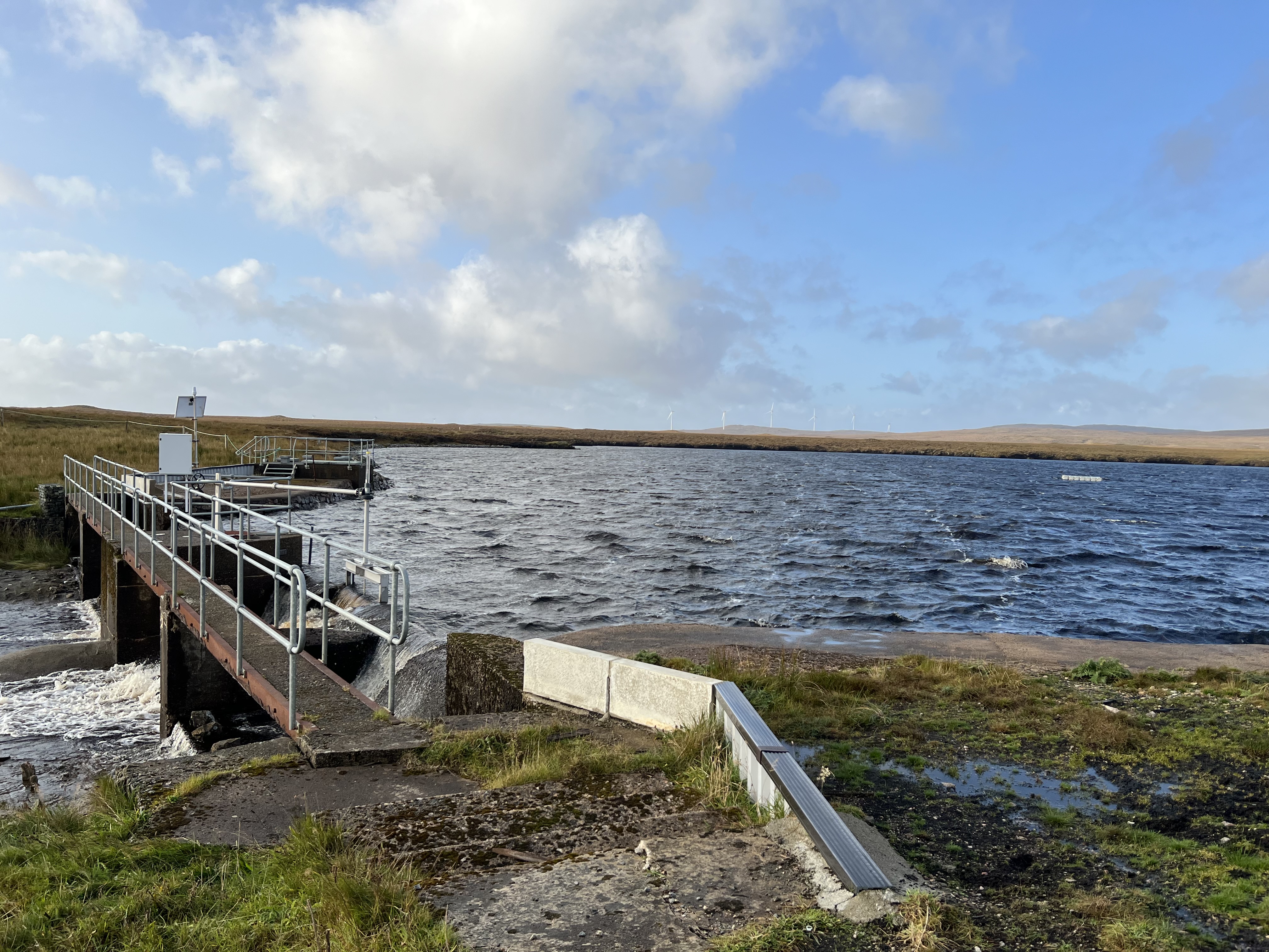
The whole journey was approximately 4.7 miles from where we parked up, to the summit top. It began on a very new stone road that had replaced the old metal tram lines from many years ago. We thought the newly laid road was to gain access to a large loch that was being used to supply fresh water to the local villages?? Nevertheless, it was a nice steady ride for 1.5 miles on our bikes until we reached the large loch.
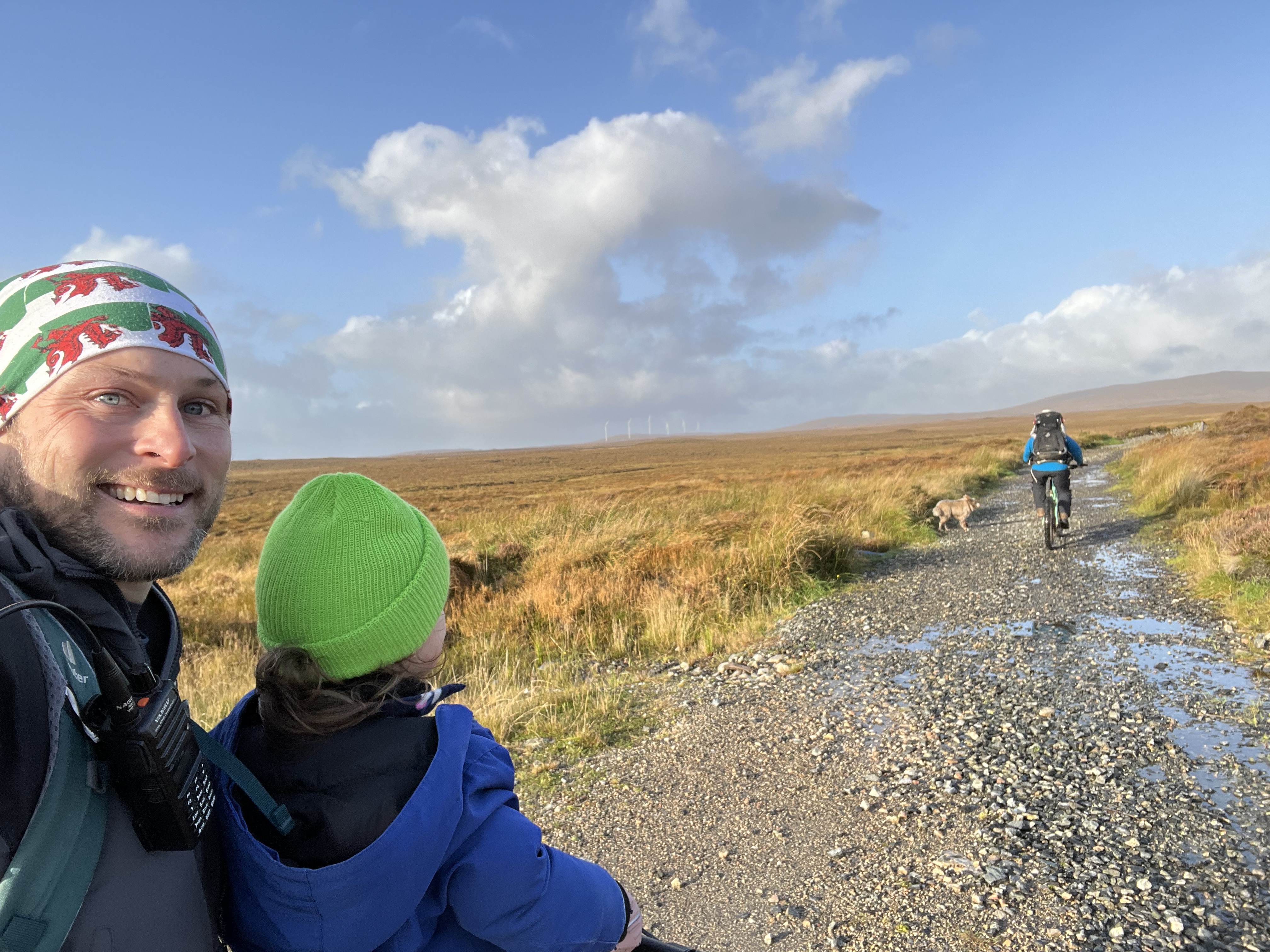
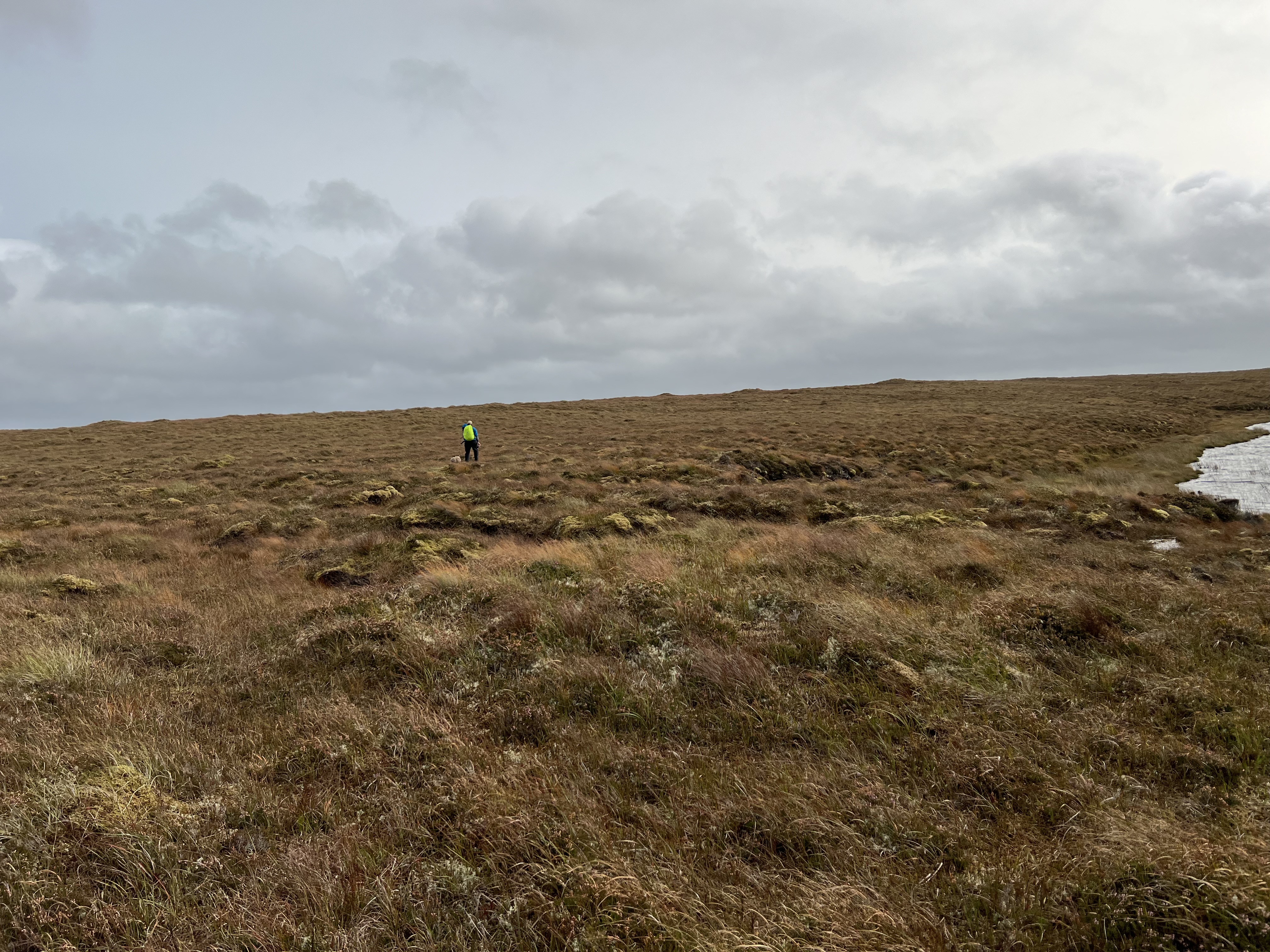
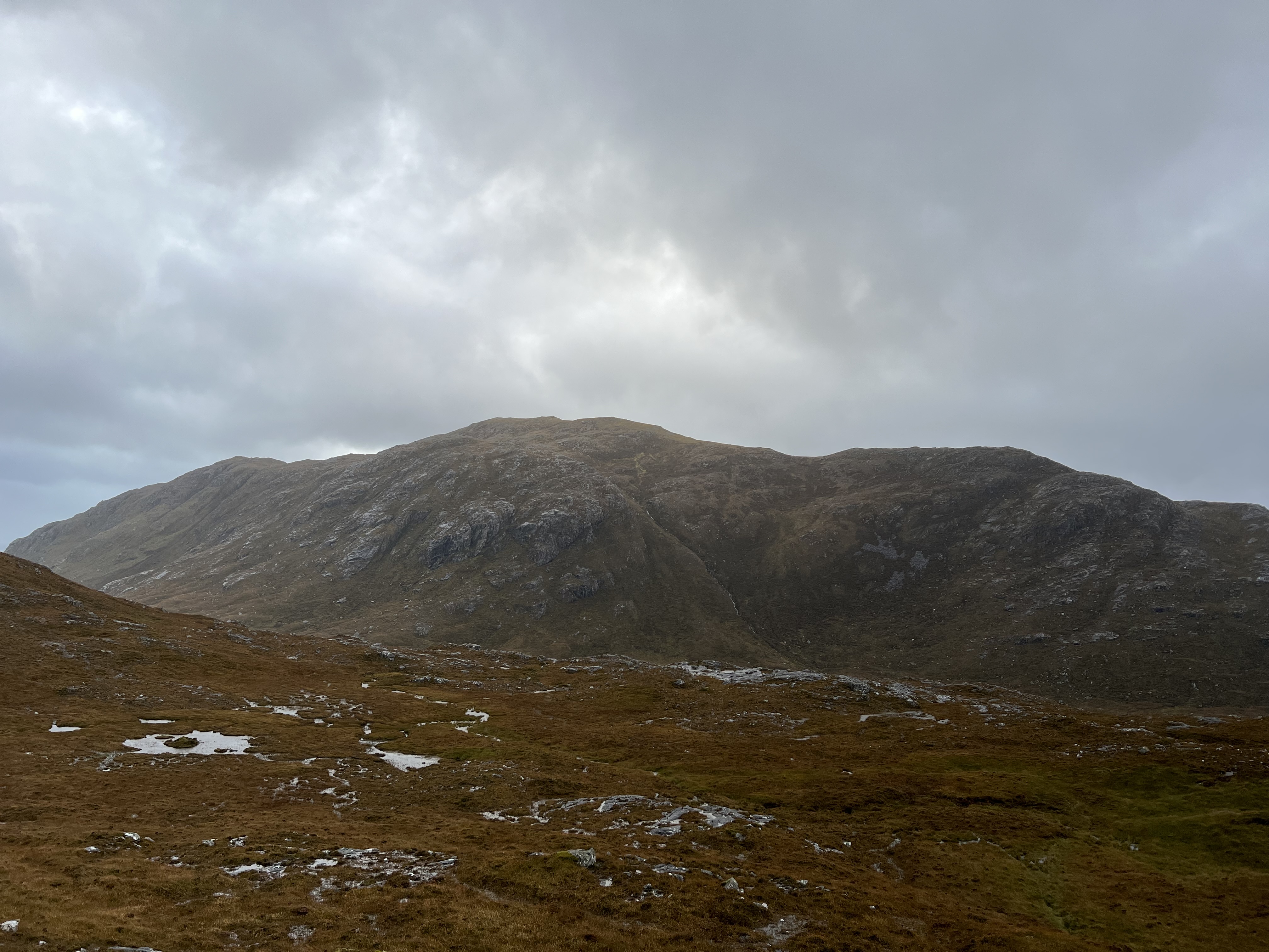
By the way - the mountain in the background on the above image is not the summit. The real summit lies approximately 1 mile behind it ![]() we reached the loch, off loaded from our bikes. Little Lyra went in the carrier and Martha carried the SOTA rucksack. Here goes ‘Bog trotting across the universe’ again - it was awful, probably one of the worst summits to walk on the whole expedition.
we reached the loch, off loaded from our bikes. Little Lyra went in the carrier and Martha carried the SOTA rucksack. Here goes ‘Bog trotting across the universe’ again - it was awful, probably one of the worst summits to walk on the whole expedition.
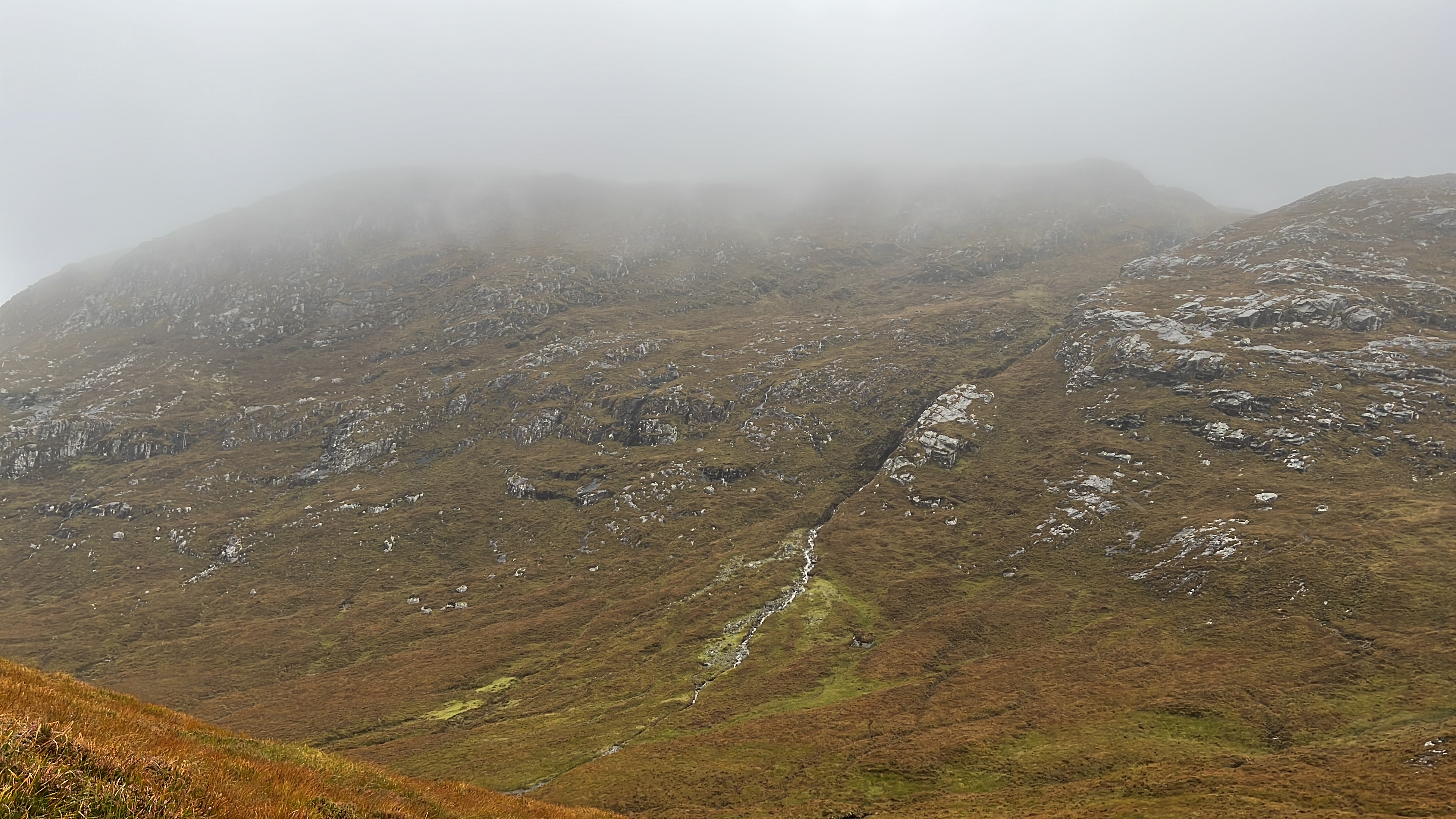
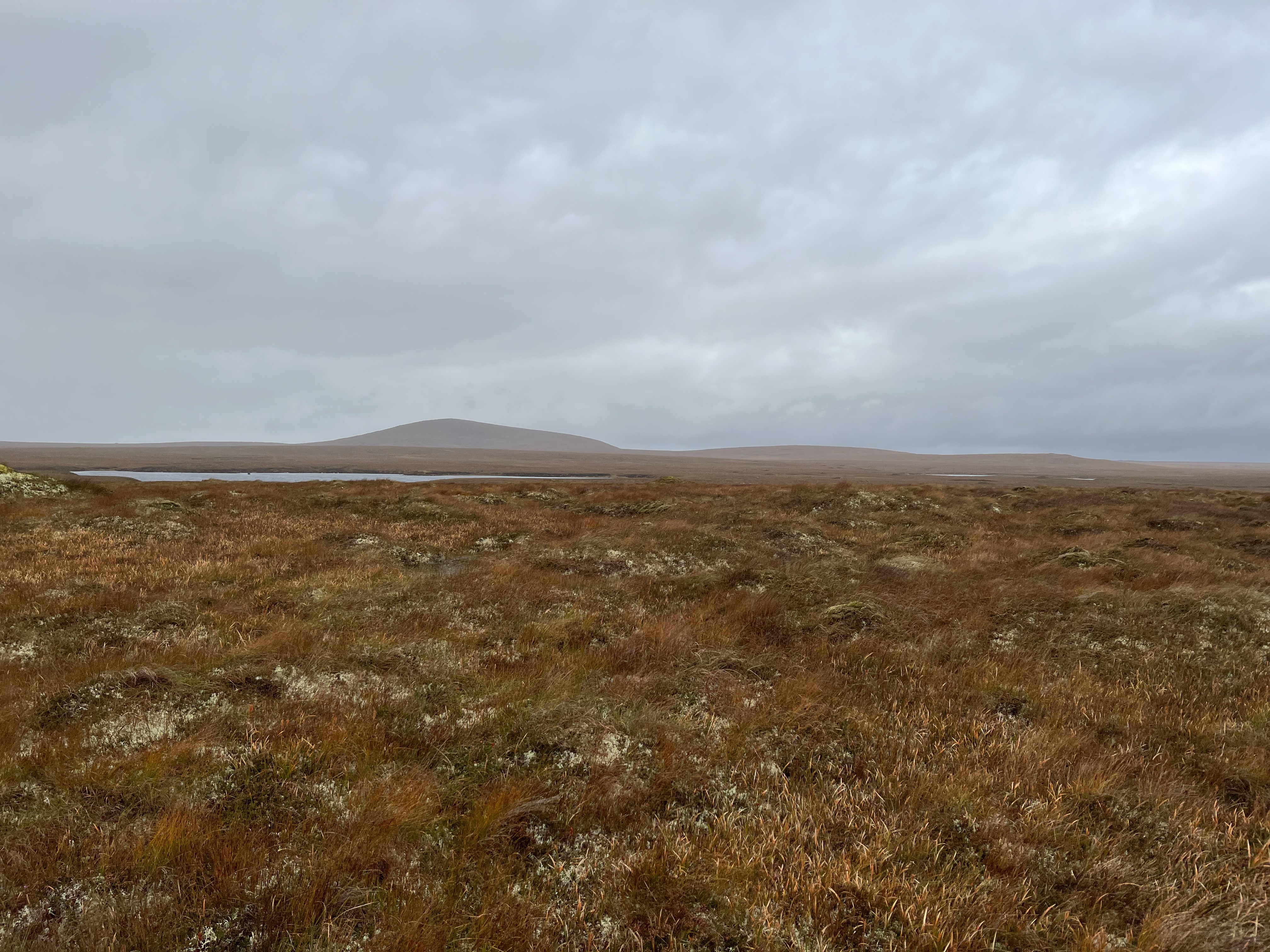
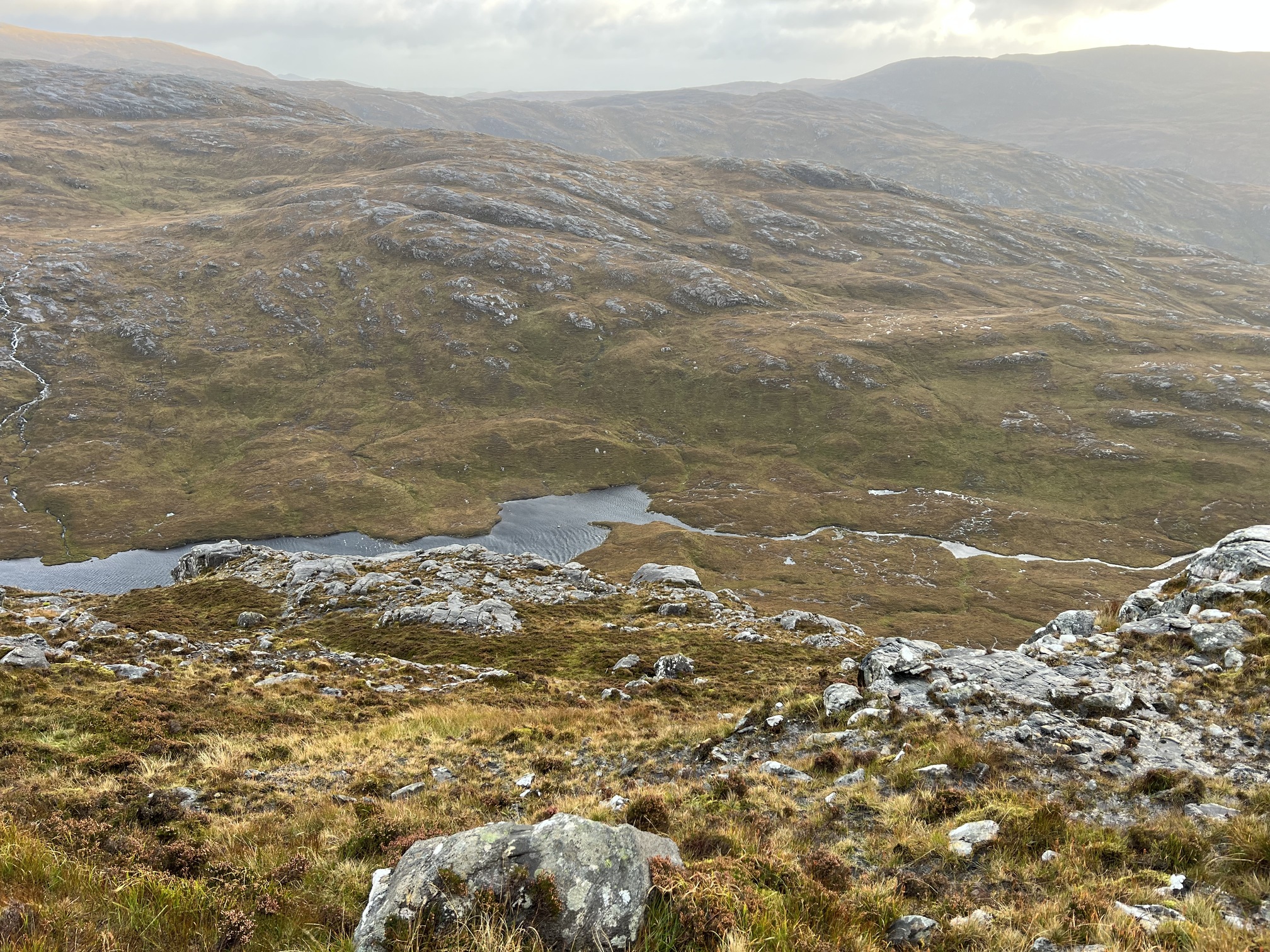
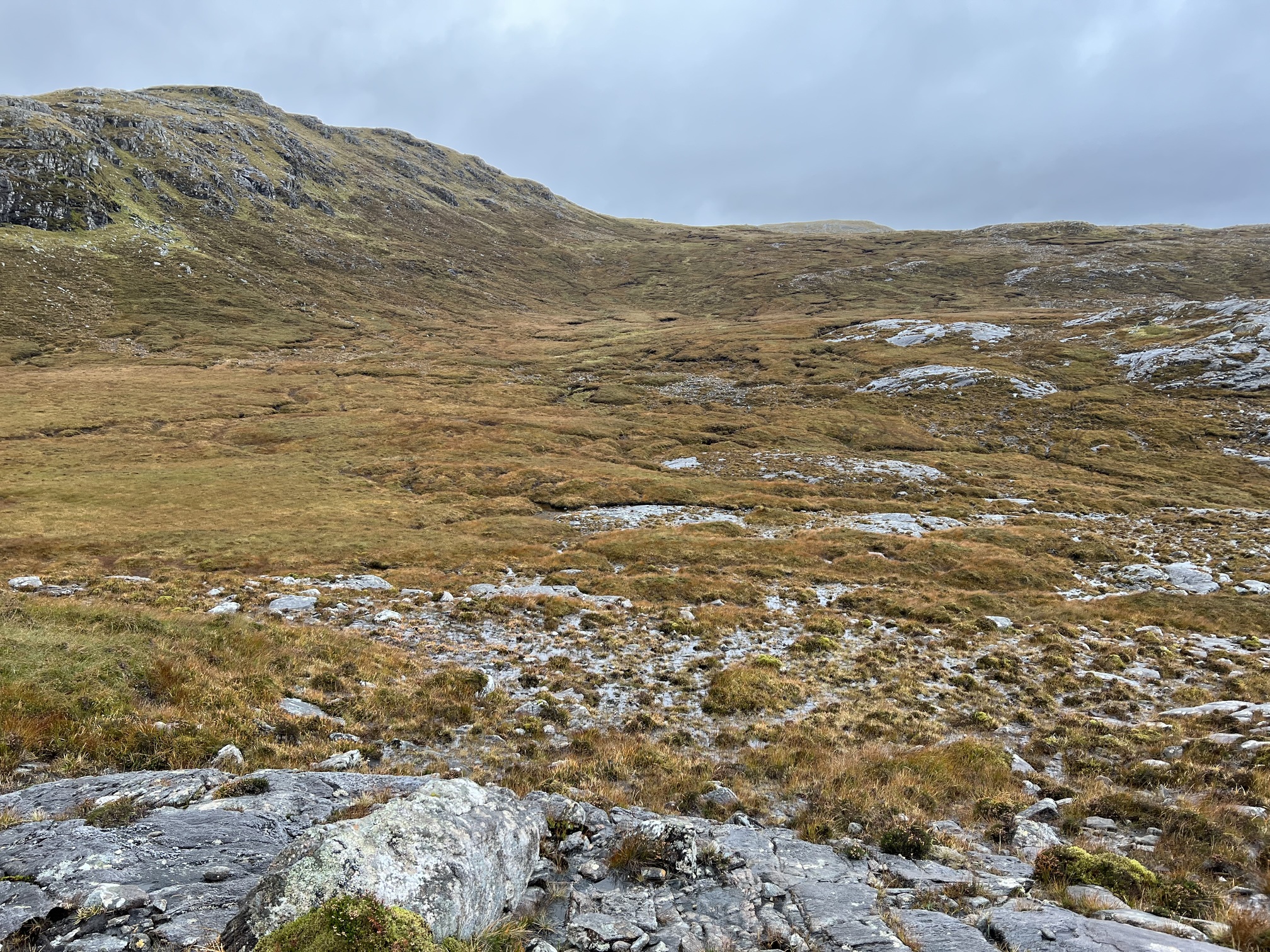
Just for some indication, this next image is of the ground we’d covered by foot, looking back from the butt of the actual summit. We had started beyond the shadowed area and still had roughly a mile to go!
After a snack break, we gained some more energy and Hallelujah, we reached the top. What a horrible hike, none of the summits undertaken on this exhibition have been at all nice and welcoming, but this one just had something about it - bloody hard work, excuse my language!
Martha kept little Lyra entertained who was loving it in the carrier all toasty and warm, while I set up our station.
Lucky for us, the wx stayed nice and no heavy rain showers hit us that we could see in the distance, although the wind definitely made an appearance on a regular occurrence.
A call was put out on 5-SSB where I worked 4 stations, the band wasn’t working all that well receiving very low radio reports. I moved over to 7-CW which was much better and worked a further 12 stations. The next call out was going to be on 7-SSB where Martha would take the mic, but unfortunately she was a little nervous with the amount of stations that called in, so she asked could she try 145-FM later. So, I worked a nice pile up entering another 20 more stations to my log with 1 being a S2S - thanks Andrew @MI0TXM. Martha made 1 contact with Gillian @M0OVW and to qualify she worked a further 3 stations on 145-FM before we descended the nasty summit of Beinn Mholach!
That was summit 9 out of my planned 10 completed - happy days! It was certainly time for a rest evening now!
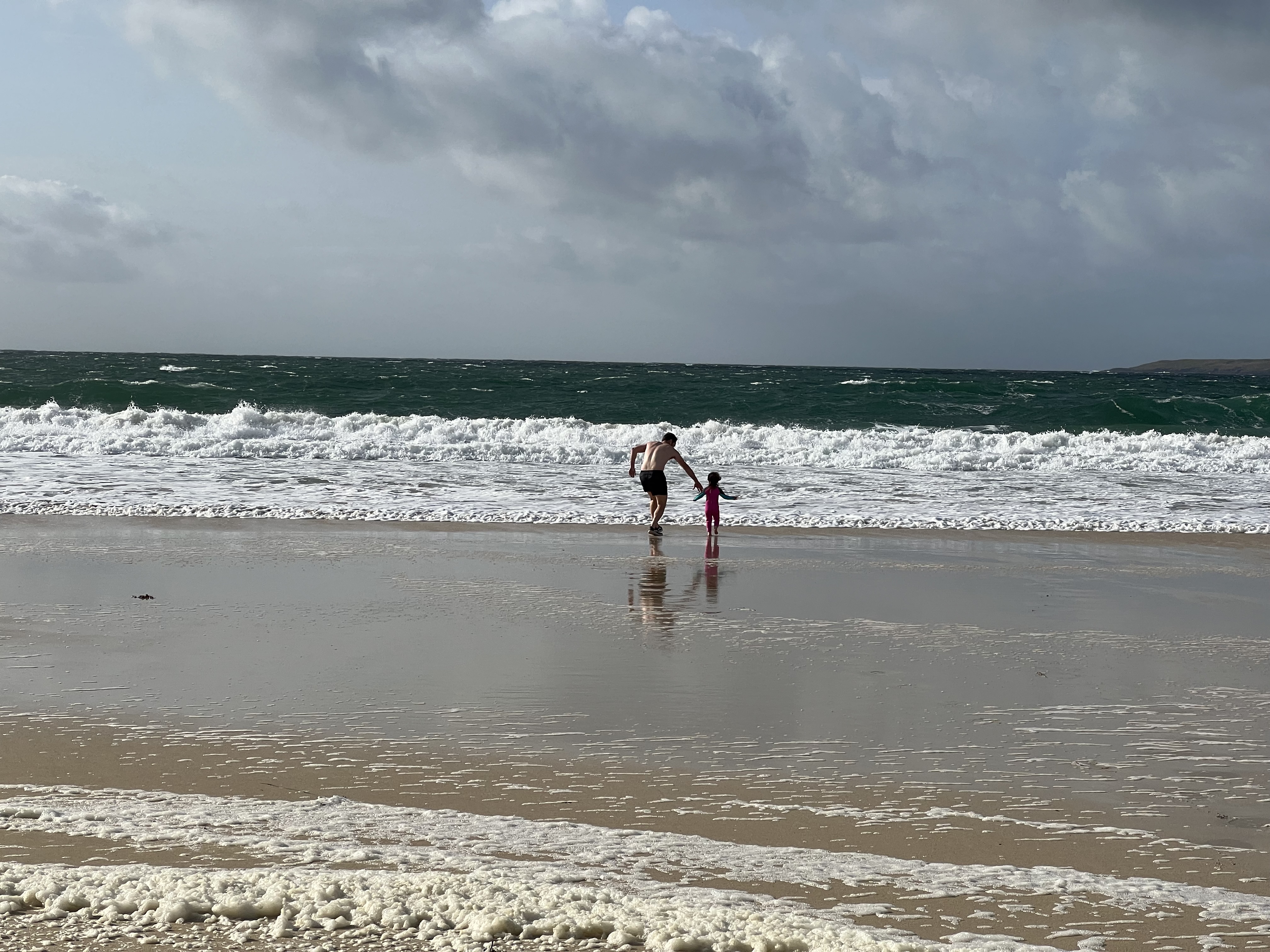
Over the next couple of days, we ventured out all over the Island, finding nice view points, local biking tracks around lochs and over the mountain tops, and even went swimming quite a few times in the sea - that was little Lyra’s favourite part ![]()
Then came the bad news… I had been in contact with the farmer who farms ‘Pabbay Island’ which has the summit of ‘Beinn a’Charnain’ GM/SI-203 on it. We had planned a day to cross by his boat, but the wx postponed this for me. We kept pushing the day on hoping for better wx, I even pushed our ferry back two days to stay on the Island hoping everything would line and the crossing would go ahead, but no, the wx was just too bad. So, I have arranged with the farmer that I’ll be back the end of October / early November to complete my expedition and activate GM/SI-203, we will see!
After receiving this news and understanding that I would not be visiting the Island of Pabbay on this trip - I decided to do the next best thing to hit my 10 summits, so I climbed the highest mountain in the Outer Hebrides, Clisham GM/SI-012.
Wednesday 4th October
Clisham GM/SI-012
After knowing I wasn’t going to activate Beinn a’Charnain on this trip, I spoke to Martha to see what we should do, stay on the Island for another couple of days and explore, or see if we can bring our ferry forward and leave for the mainland. Because of the really bad wx forecasted, we agreed to bring the ferry forward if we could. I rang Calmac ferries who we booked with and they were every so nice (I had already pushed our ferry back twice ![]() ) and said we could have the 15:20 UTC ferry back to Uig today, so we confirmed this. After putting the phone down, I said Hmmmm to Martha in a high pitched voice, and she said “what are you thinking”, this was at 08:00 UTC in the morning. I wonder can I climb Clisham and be back for our ferry time…
) and said we could have the 15:20 UTC ferry back to Uig today, so we confirmed this. After putting the phone down, I said Hmmmm to Martha in a high pitched voice, and she said “what are you thinking”, this was at 08:00 UTC in the morning. I wonder can I climb Clisham and be back for our ferry time…
The route I took follows:
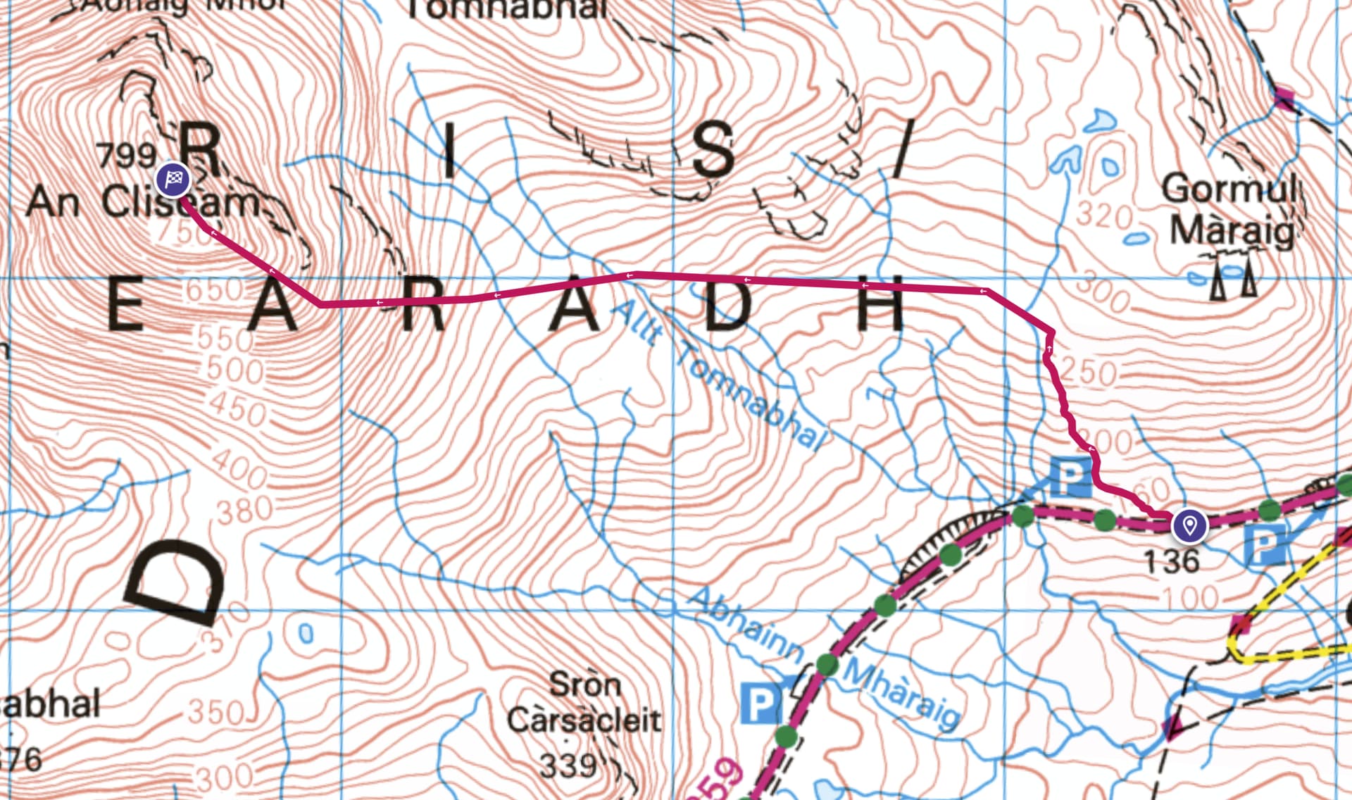
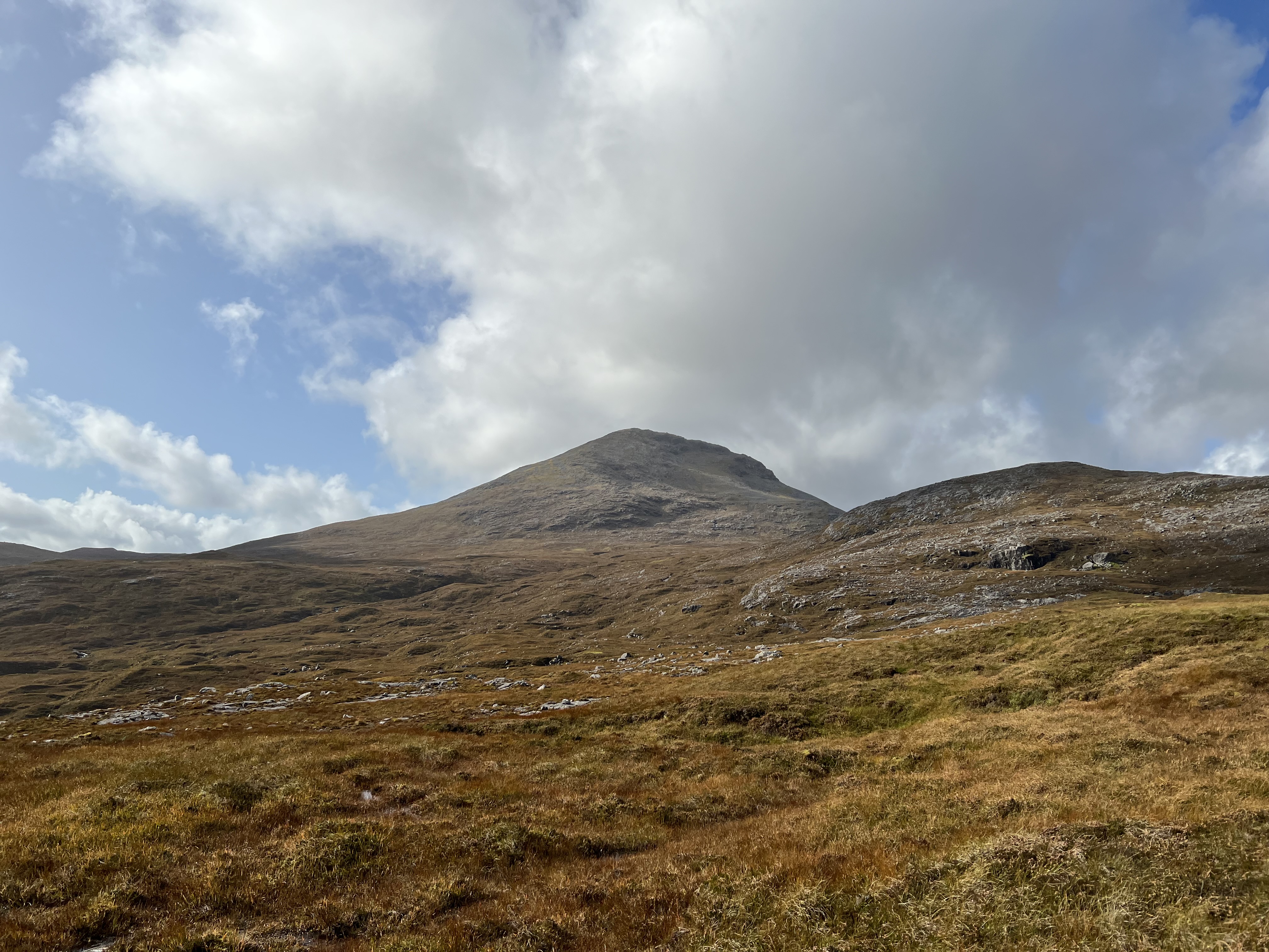
The sun was out, there was blue in the sky, and the wind was low in the valley - what more could I ask for on our last day on Lewis and Harris Island. The views were fantastic, I was looking forward to reaching the top of this beast that stood out like a soar thumb in the distance to see the whole Island at a 360 degree glance.
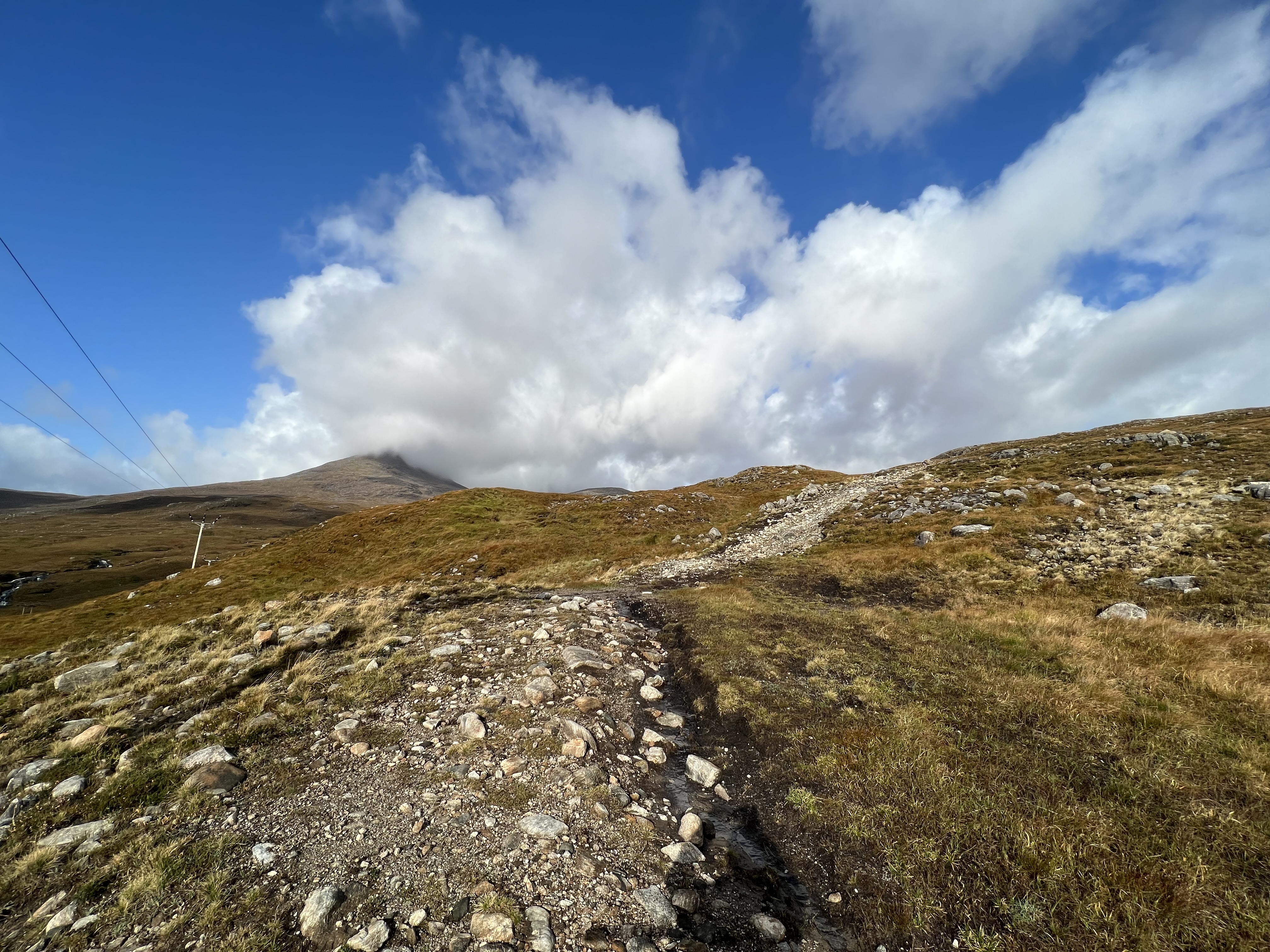
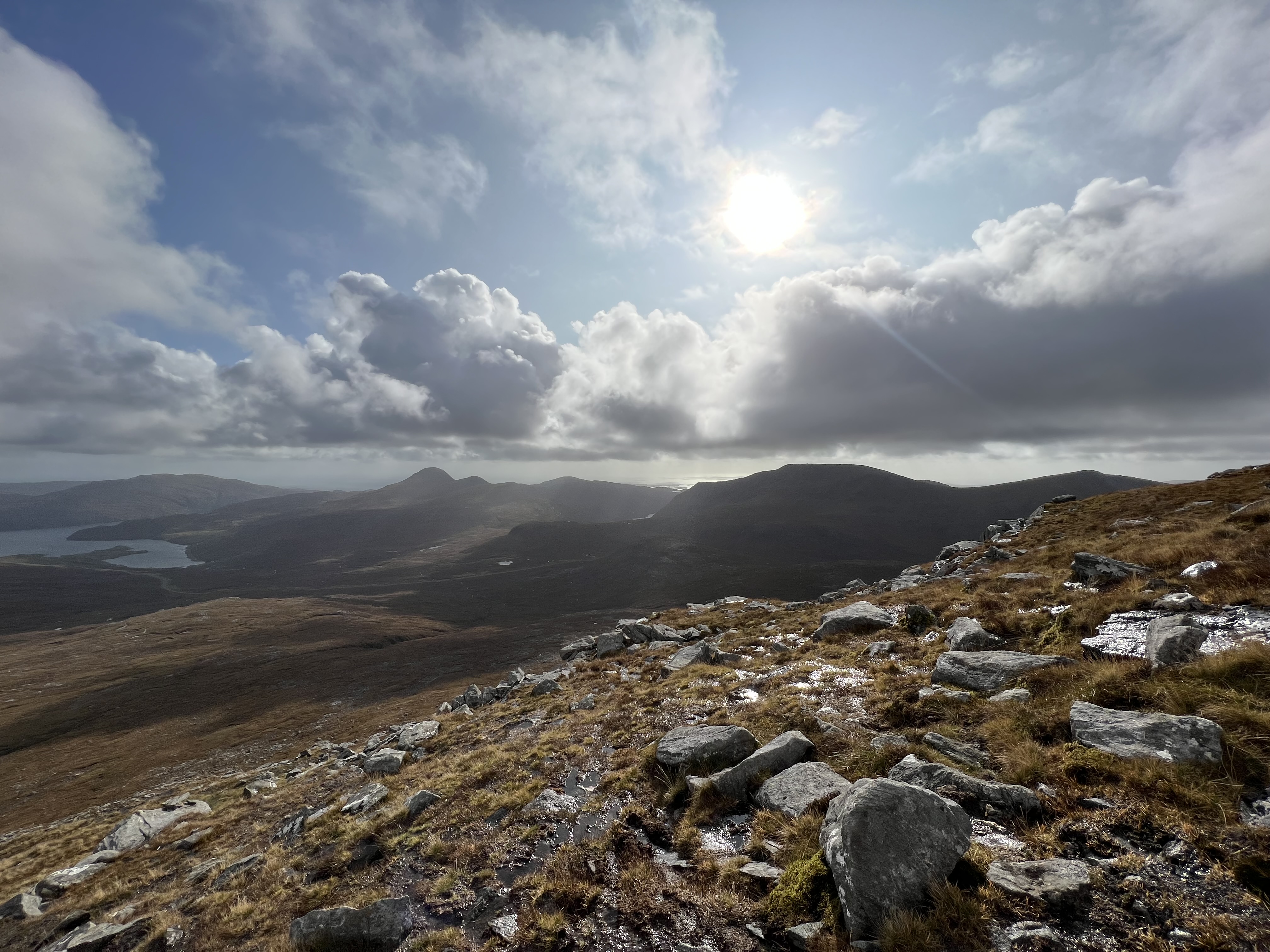
I was on a mission, I didn’t have long to do this and the adrenaline running through my body was at maximum - there was no stopping me! As I gained height, which was pretty quick on this beast, have a look at the map; the wind level began to pick up quite dramatically. I found a few rocks on top where I sheltered and quickly set my station up.
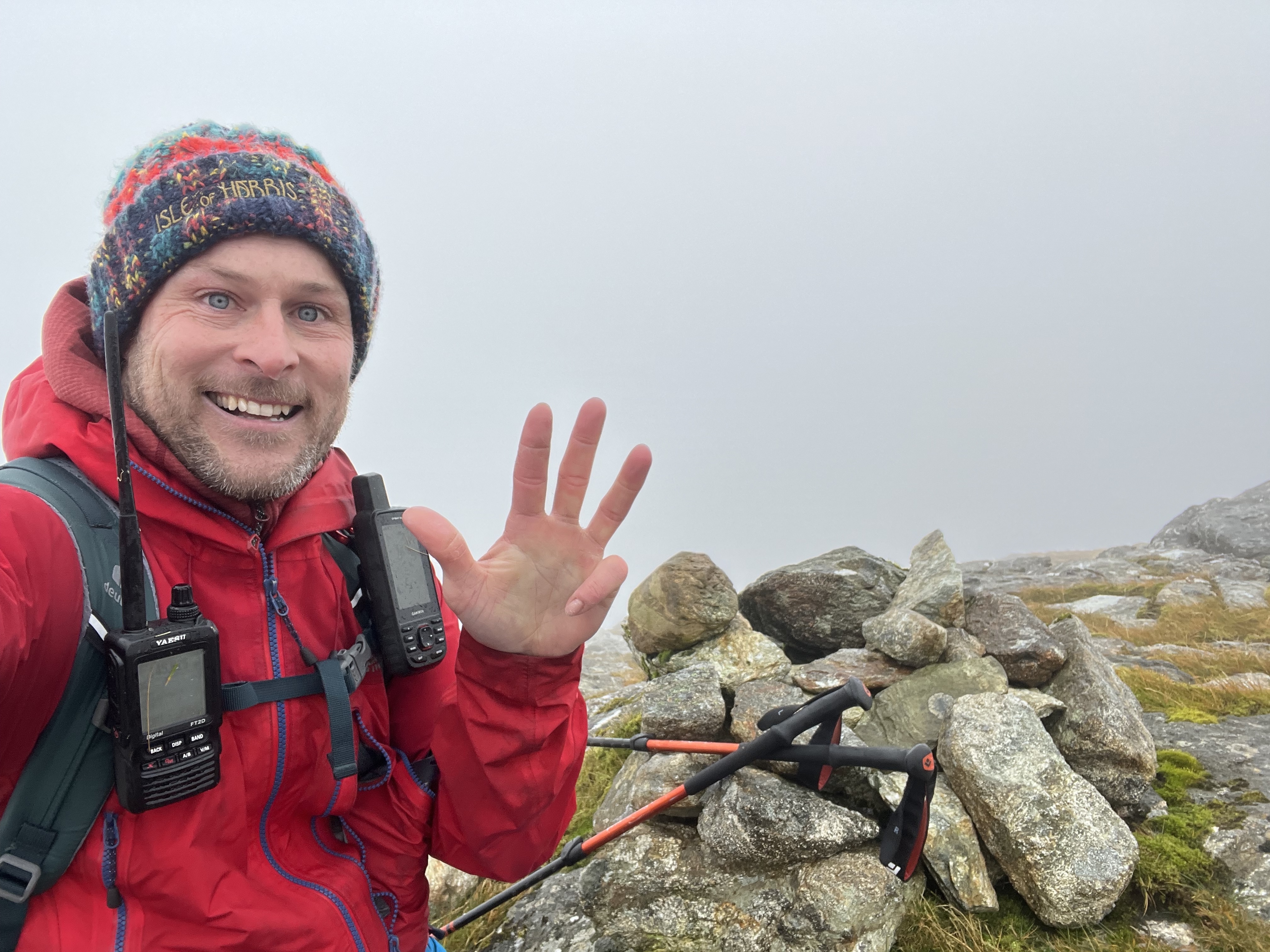
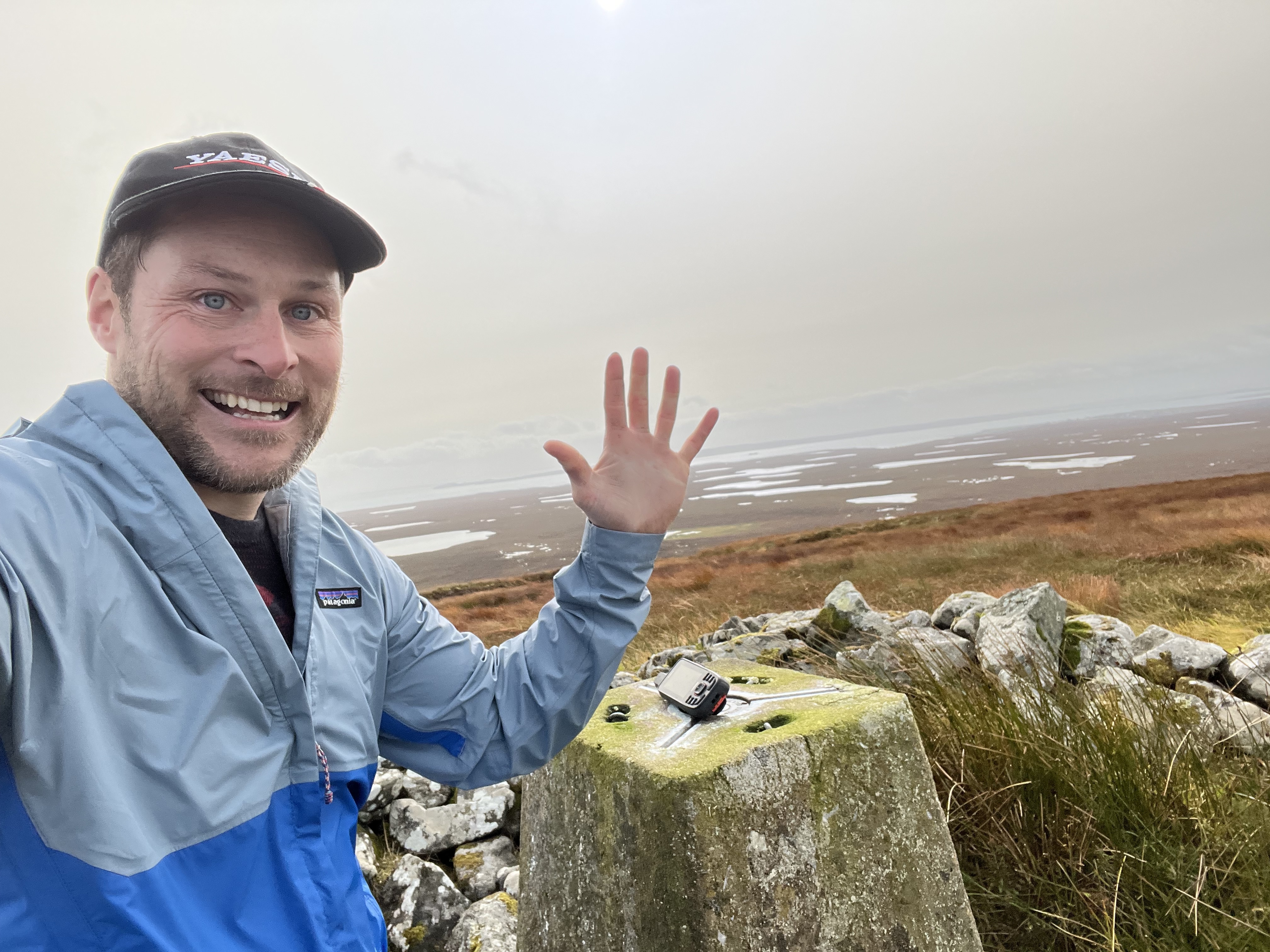
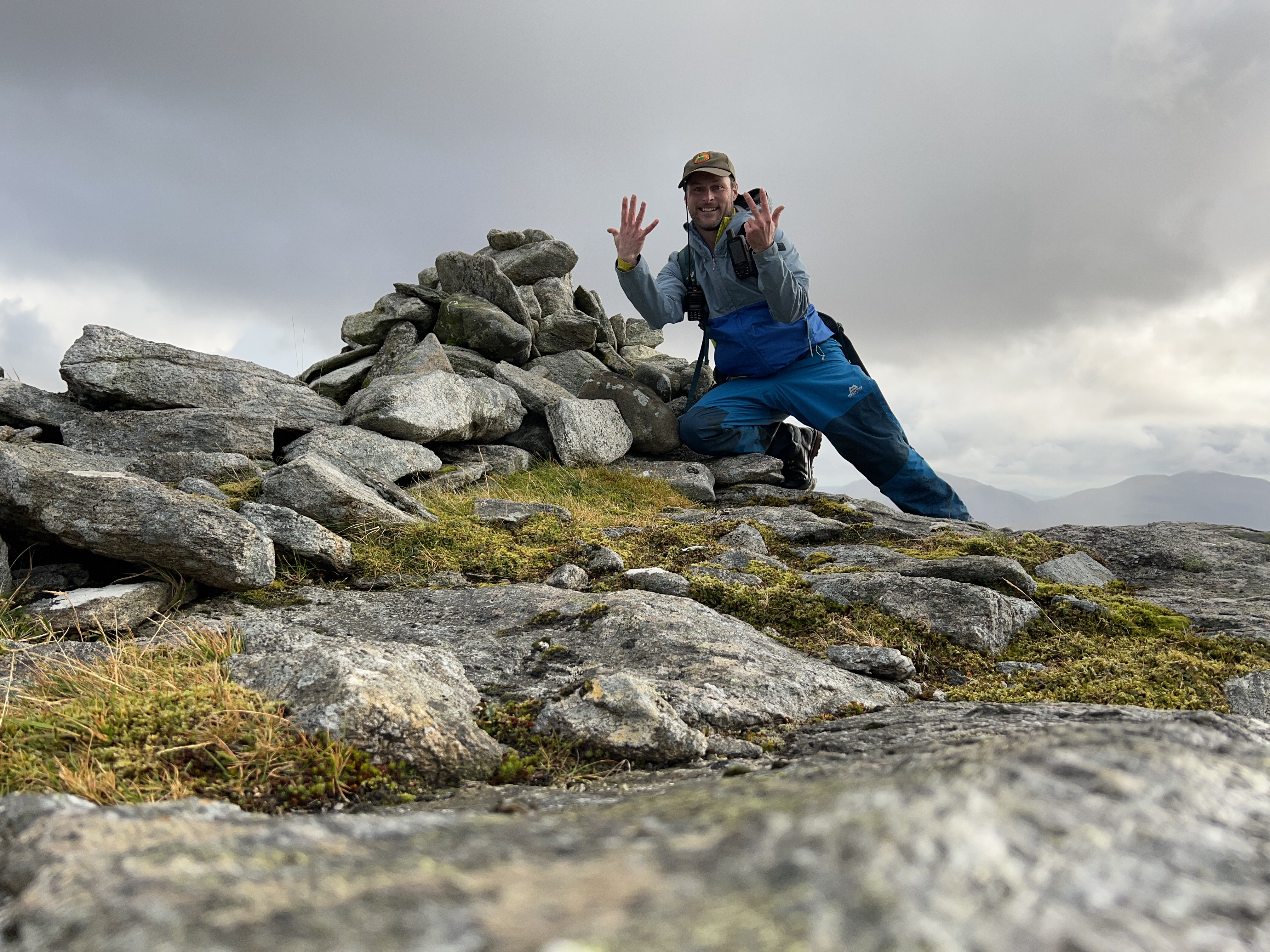
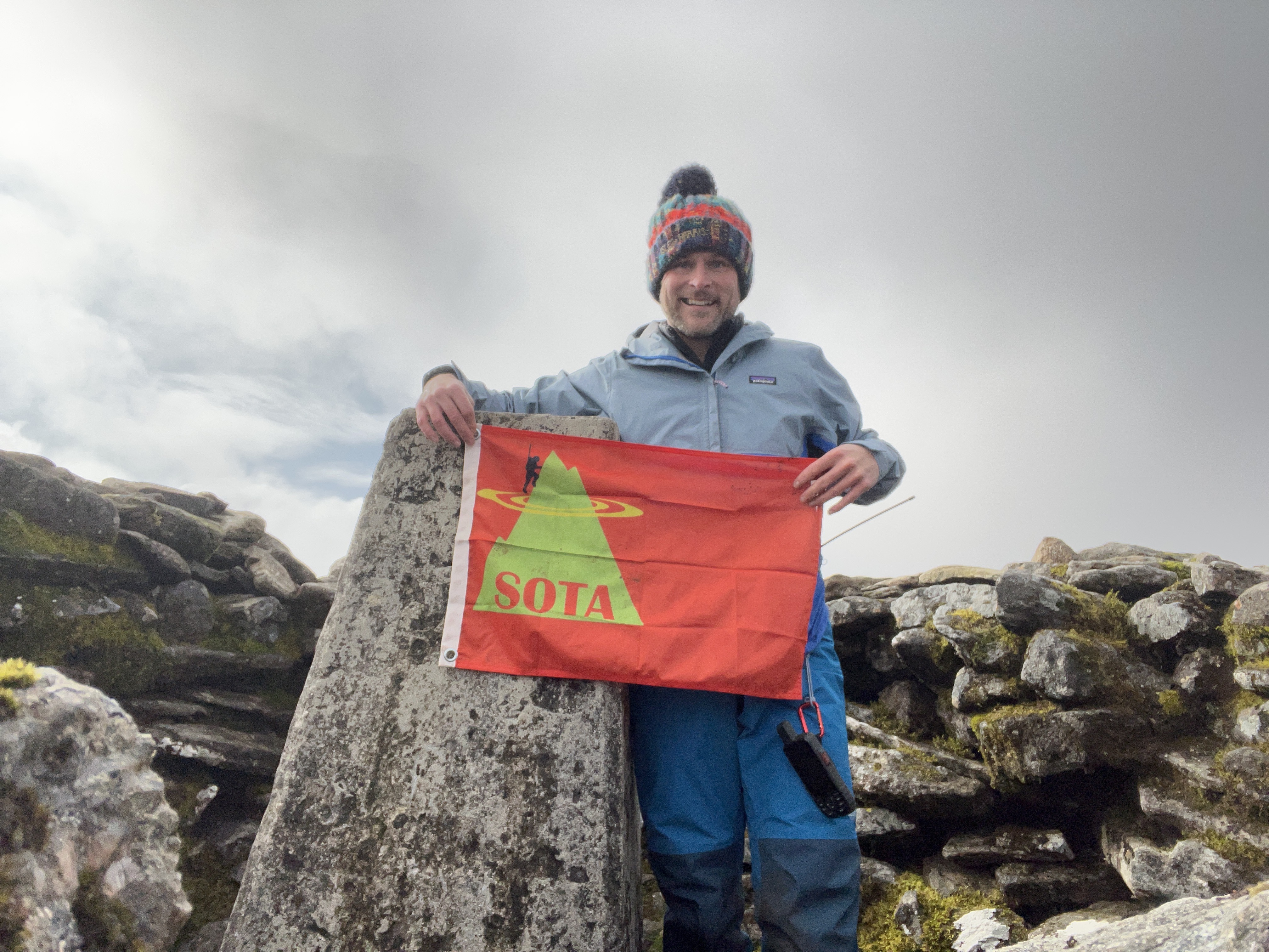
After speaking with a local from my hand-held, who kept me company on parts of my ascend - thanks Gordon @GM4OAS, I put a call out on 7-CW managing to work a small pile up with 10 stations in my log. I moved over to 7-SSB and worked a further 17 stations to finish my expedition on the Island - what a fantastic time we all had. I finished off by jumping in the small cairn on top of Clisham where the summit trig stone sat, and flew the SOTA flag, not very high because of the high wind, hahaaa.
I had another brief chat with Gordon on 145-FM as I descended Clisham and marched back to my girls just in time to call at the loom shed café in Tarbert for a vanilla latte and chicken and ham pie for Martha and myself and a juice and sausage roll for little Lyra as a treat for being such a good girl on the great holiday we all had.
I’d firstly like to say a massive thank you to everyone in the SOTA community for your support - I worked many familiar call-signs and I also worked some new ones which was both great! I’m not going to mention every name, I’d be here for ages, but thanks to all the local GW stations who followed me on most of my journey and entered my log on nearly every summit, there was a couple of stations who made every summit ![]() I really appreciate your support - SOTA is a fantastic scheme and I’ve made many friends by becoming addicted to it, hahaa.
I really appreciate your support - SOTA is a fantastic scheme and I’ve made many friends by becoming addicted to it, hahaa.
I’m hoping to return the end of October / early November to complete the last summit I had planned, I am in contact with the farmer and he has informed me he will get me across ![]() I will keep everyone updated!
I will keep everyone updated!
Thanks again all!
73, from the BML family!
Ben GW4BML