Hi,
When looking at KLF/DE in sotamaps.org, the map automatically shows-up in ft, I cannot seem to find an option to switch it back to meters. Is it possible?
Thanks.
Hi,
When looking at KLF/DE in sotamaps.org, the map automatically shows-up in ft, I cannot seem to find an option to switch it back to meters. Is it possible?
Thanks.
This is probably a Google Maps issue.
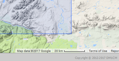
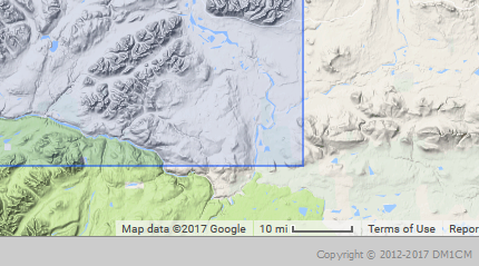
For me it coes up in Km (20 Km scale) - to change to Miles (or vice versa) click on the Google maps scale at the bottom right of the screen.
That’s if you are just referring to the map scale.
73 Ed.
Metric:
Imperial:
Thanks.
I had tried that already. The scale does change to meters but the contours and altitude stay in ft.
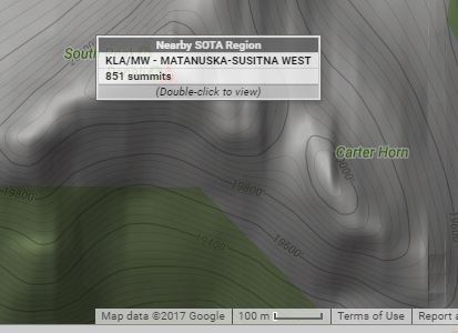
The only way I have found to change the setting is to set it from the very top level before any association is selected - changing on the fly (i.e. refreshing the map with the new measurements) I haven’t been able to find a way, neither in Google Maps nor in Open Cycle maps.
Ed.
Hi Arnaud,
As you say, changing the map scale does not change the contours. This is because the maps presented by Google (and other, similar, online mapping services like Open Maps, Open Cycle Maps, Leaflet and so on) are made up of a series of image-tiles, usually 256 pixels square, which are created by the service at irregular intervals of months or even years, stored in a database and served up to your browser when you want to view a particular part of the Earth’s surface. So, the contour lines are simply parts of the images in JPG or PNG files.
The database of such images is HUGE (think images of the entire Earth’s surface at each of the various zoom-levels), and it would make no sense at all to have duplicate sets, one in meters and one in feet, for the few people who are interested in viewing contours in one or the other system. What Google does is to guess that users in the US, and probably also the UK, are more likely to want to see contours in feet, and so they’ve made up sets of tile-images to suit that perceived need.
HTH, Rob
Thanks for trying guys.
I have tried Ed’s suggestion but it does not work for me using the US map.
I think you are right Rob and your explanation makes sense.
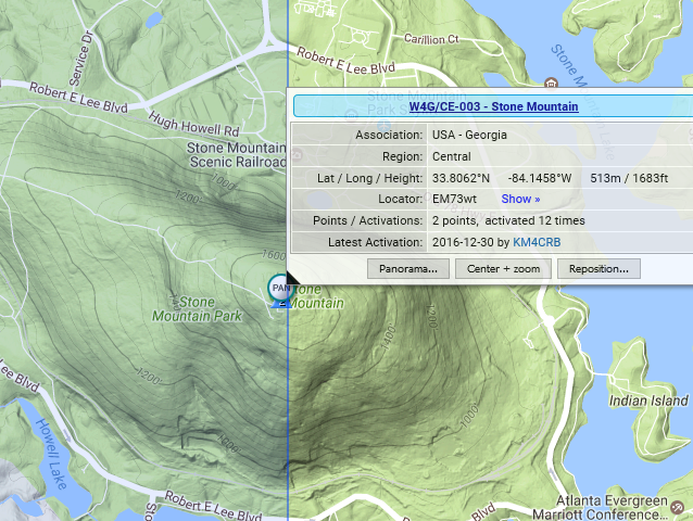
The funny thing is that I can see meters for the UK and Canada but the USA still are in ft.
Oh well, maybe some time in the future.
73,
Arnaud
My Apologies Arnaud, you are of course correct - even setting the scale at KM at the highest map level and then selecting part of the US, gives contours in Feet (I think when I checked I missed the ’ after the height number and thought it was metres).
No worries Ed, thanks a lot for checking/trying.
Arnaud