Some reports from Martyn and my trip to the Brecon Beacons at the end of the winter bonus period: given the high winds that dominated the whole week, combined with periods of rain and occasional hail or snow we would probably have done better a couple of weeks earlier.
The high winds restricted most of our activations to VHF only, only being able to get the HF antenna in the air twice. We also ended up with some activations where we both worked the same 4 contacts each and then closed down, which is disappointing and not our normal style, but conditions were against us. There are no photos for a couple of the activations as it wasn’t fit to get phone or camera out.
Friday 8th March 2019 GW-041 Black Mountain
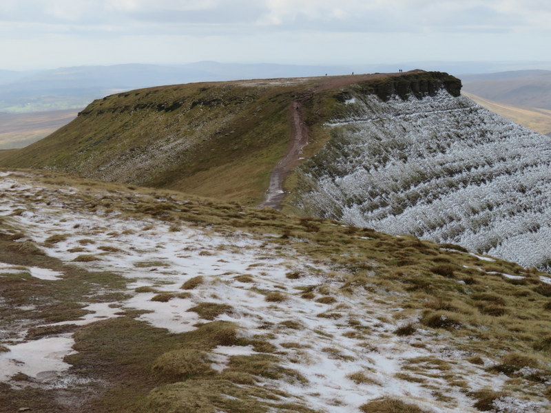
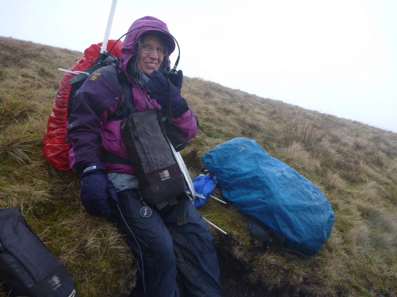
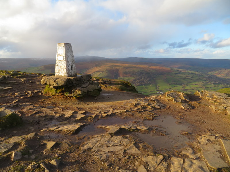
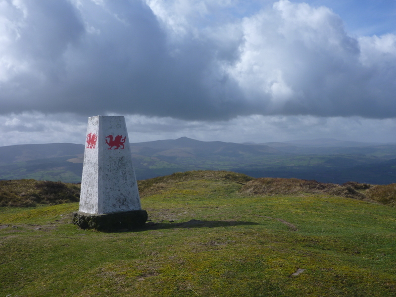
We did this activation on our way to the holiday cottage at Talgarth that was our base for the week. The weather forecast wasn’t good but suggested that there would be a break in the rain around the time we were due to arrive. There was no sign of any imminent break in the rain and wind as we parked up below Hay Bluff, and we struggled to open the car door. These were not the conditions Caroline had hoped for on what was to be her 2*MG activation. In the hope it would improve we headed up Hay Bluff in full waterproof mode fighting against the wind. Passing the trig point with dragons we carried on along the ridge until we were over the 700m contour on Black Mountain. The true summit is indistinct and recent surveying suggests the highest point may be 350m north of the previous survey point, so we just made sure we were above 700m and probably not far from the latest idea on highest point. There was no way we could get an HF antenna up and there was no shelter, so we just stood with backs to the wind on the Welsh side of the path and did a VHF activation using the rucksack antenna and handheld. 20 minutes later with 6 contacts each there were no more callers, so we returned. We didn’t manage any photos of the activation as it was too nasty to get either camera or phone out. As we returned the rain eased and the visibility improved enough that we could get vague views from Hay Bluff.
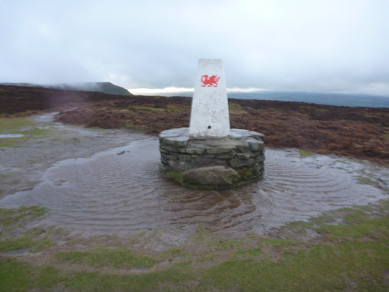
Wind blown puddle around Hay Bluff trig
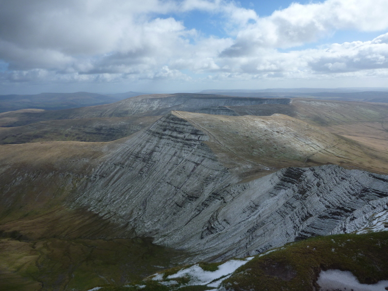
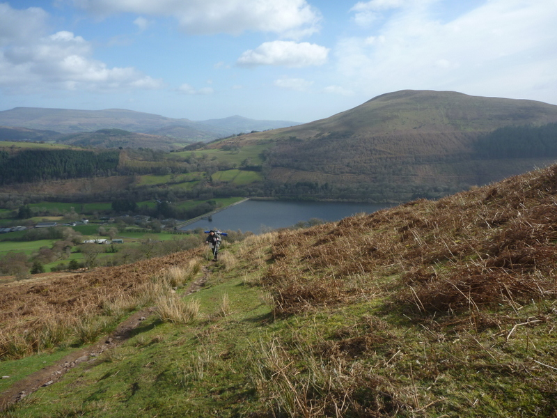
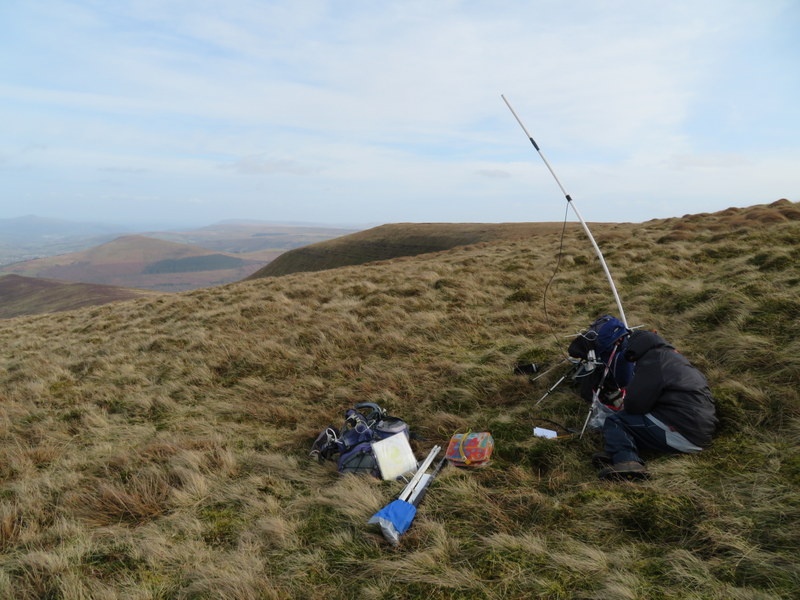
Saturday 9th March 2019 GW/SW-004 Waun Rydd
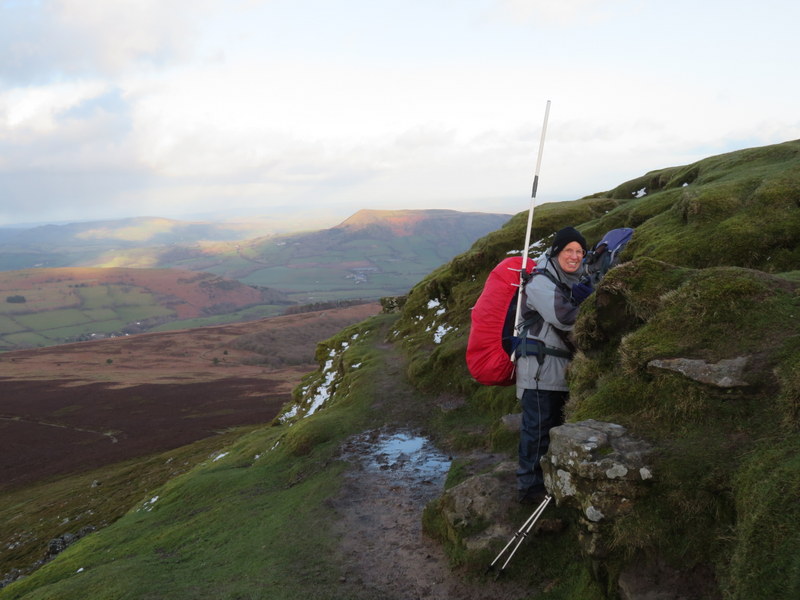
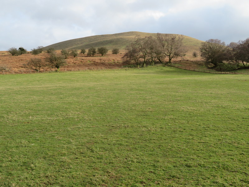
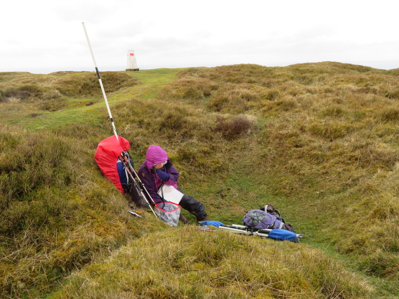
The forecast was for a mostly dry day but with high winds. Our original plan was to do Mynydd Troed and Mynydd Llangorse but we weren’t early enough to get one of the limited parking spaces at the col between the two hills. Plan B was Waun Rydd and Tor y Foel from the Talybont Reservoir, so we parked by the side of the road overlooking the overflow, which was passing quite a lot of water. We had hoped to take a track going uphill opposite the reservoirs, but it was marked as no public access, so we headed south on the road to pick up a public bridleway heading back north. Initially very muddy it improved, and we made our way to a pleasant sunken track which led to the access area. It was a lovely day when we started, and we were soon overheating but once out of the valley we were exposed to the cold wind. Unlike yesterday there was no rain but it was only slightly less windy, so it was hard work.
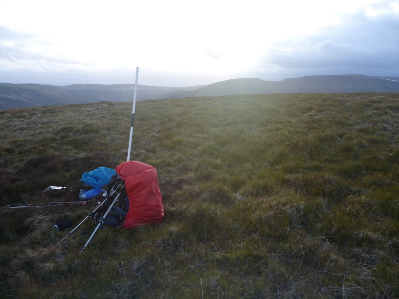
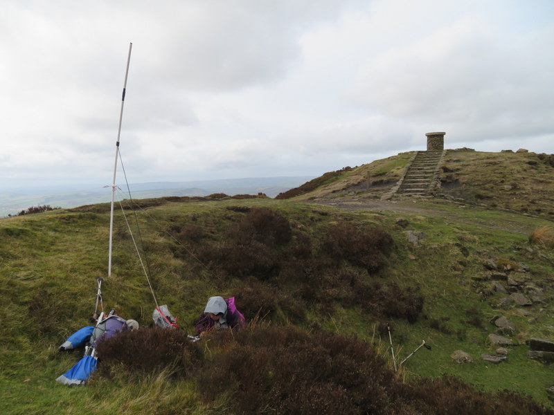
We vaguely considered activating from Carn Pica which at 750m is well within the activation area but carried on to the true summit. It was too windy at the summit and not much better a little way down the less windy side of the hill. With extra clothing applied we tried a VHF only activation getting 9 contacts each with a highlight of a S2S with fellow Cambridgeshire activator Neil G4HUN on Bredon Hill – this would turn out to be the only S2S of the entire week. We returned the same way but had unfortunately left the large activation area before we heard Tom M1EYP calling from The Wrekin but we at least got to chase him. It was almost 6 by the time we got back to the car, so we didn’t have time to do Tor y Foel.
Tor y Foel & Talybont Reservoir on ascent Waun Rydd
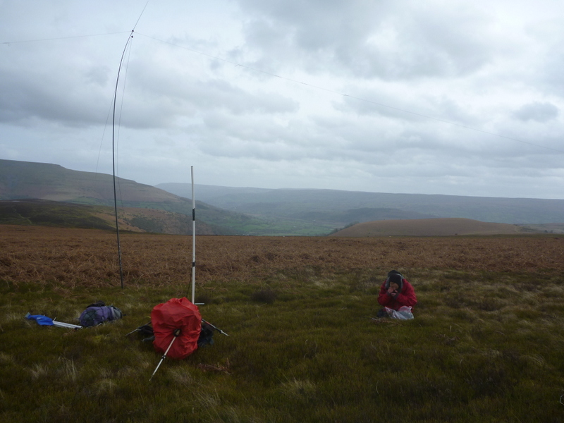
2m Antenna struggling in the wind
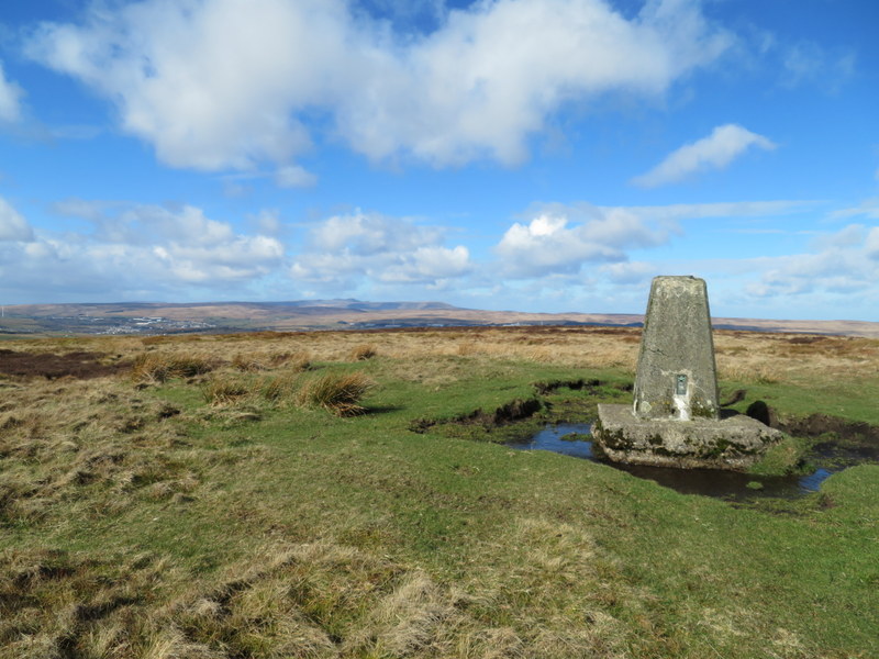
Sunday 10th March 2019 GW/SW-014 Mynydd Carn-y-cefn and GW-SW-012 Coity Mountsin
This was a day when we earned our winter bonus. The forecast high winds with heavy showers encouraged us onto slightly lower hills, so we went for the two winter bonus hills at the heads of the valleys.
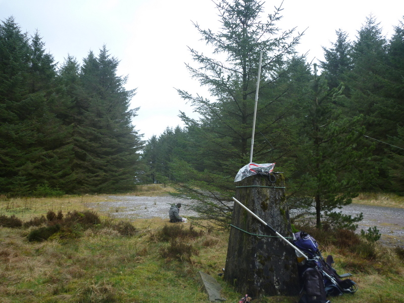
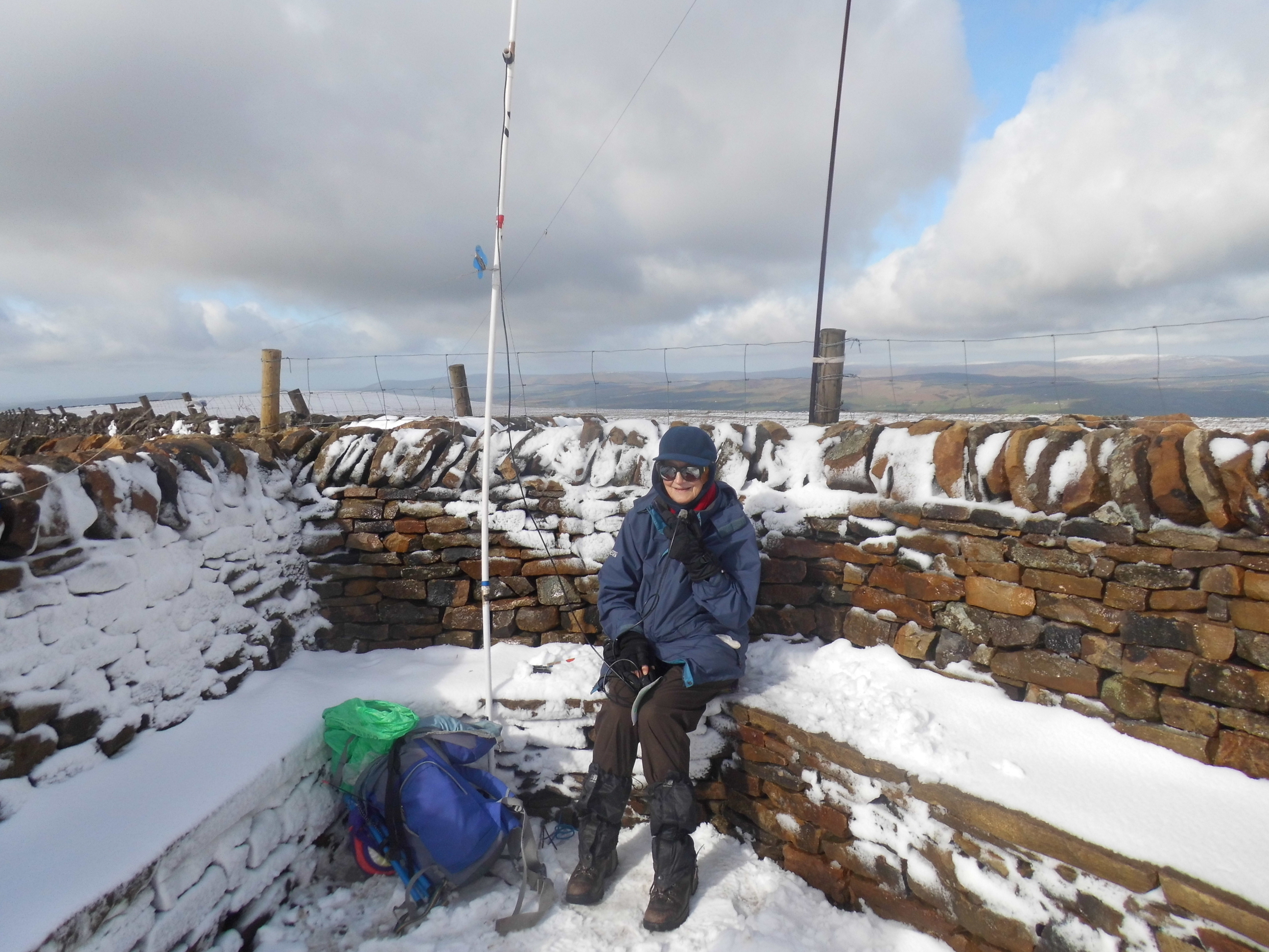
Our drive to our first target of Mynydd Carn-y-cefn was less than ideal as the closure of the Heads of the Valleys road forced us onto congested single-track roads between Gilwern and Brynmawr. We left Nantyglo in full waterproof mode and were soon treated to wind-blown hail as we crossed the golf course but as we ascended the hail subsided, but the wind remained strong and gusty. It was hard to stand at the summit but there were now good views all round. Unfortunately, there was no shelter, so we ended up sticking the rucksack antenna in the hole in the trig point and huddling up against it. The wind ruled out HF and VHF was slow going and it took us half an hour of being exposed to the impressive wind chill to get 4 contacts each. A fifth soon followed but there were no more so we packed up, thankful that it had remained dry at the summit. On the way down we found some shelter in a disused quarry to eat lunch but that was interrupted by more hail.
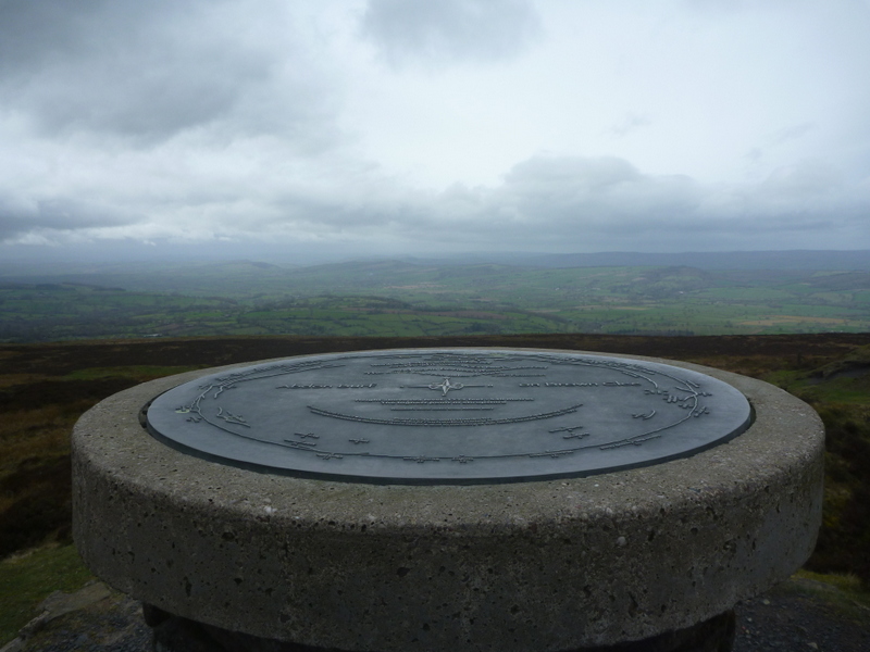
Mynydd Carn-y-cefn
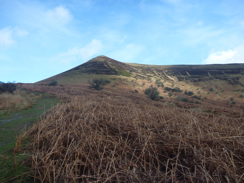
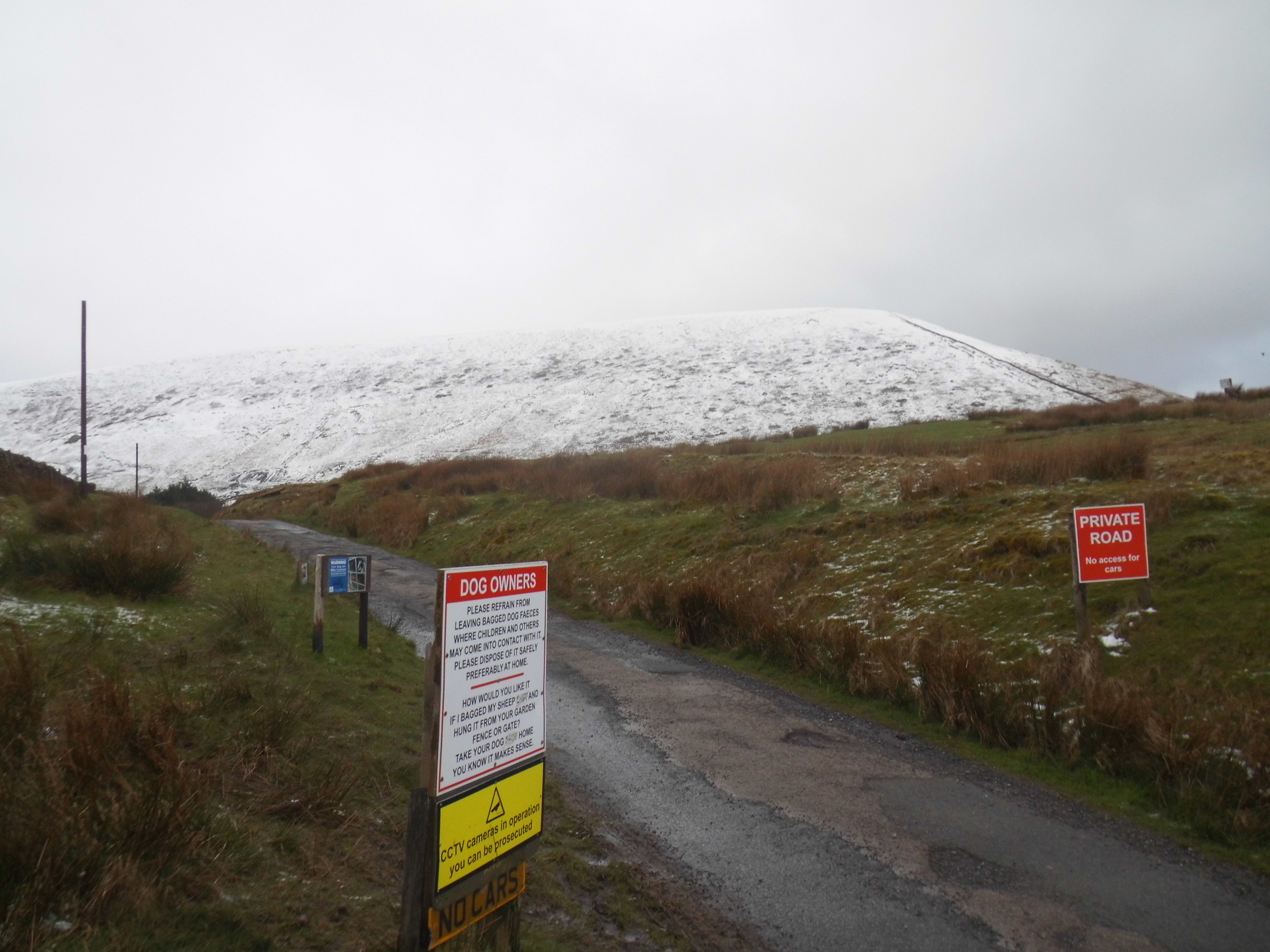
We drove to Blaenavon and parked near Big Pit on rough ground around the back of a barrier around SO240986: when we visited Big Pit later in the week, we noticed that there is signed “walker’s parking” just before the pay and display parking for Big Pit itself. It was dry as we set off up Coity Mountain, but hail returned before we had got far and the wind got the better of Martyn’s rucksack cover which looks to be at end of life since the elastic and cord has frayed and broken. The weather got worse as we ascended steeply by a quarry and by the time we were well in the activation area we were in near white out horizontal snow. The only sane option was a hit and run VHF activation with handheld and rucksack antenna. Thankfully we got our 4 contacts each in under 10 minutes. On the descent the weather cleared briefly to give some views but the snow returned just as we got back to the car.

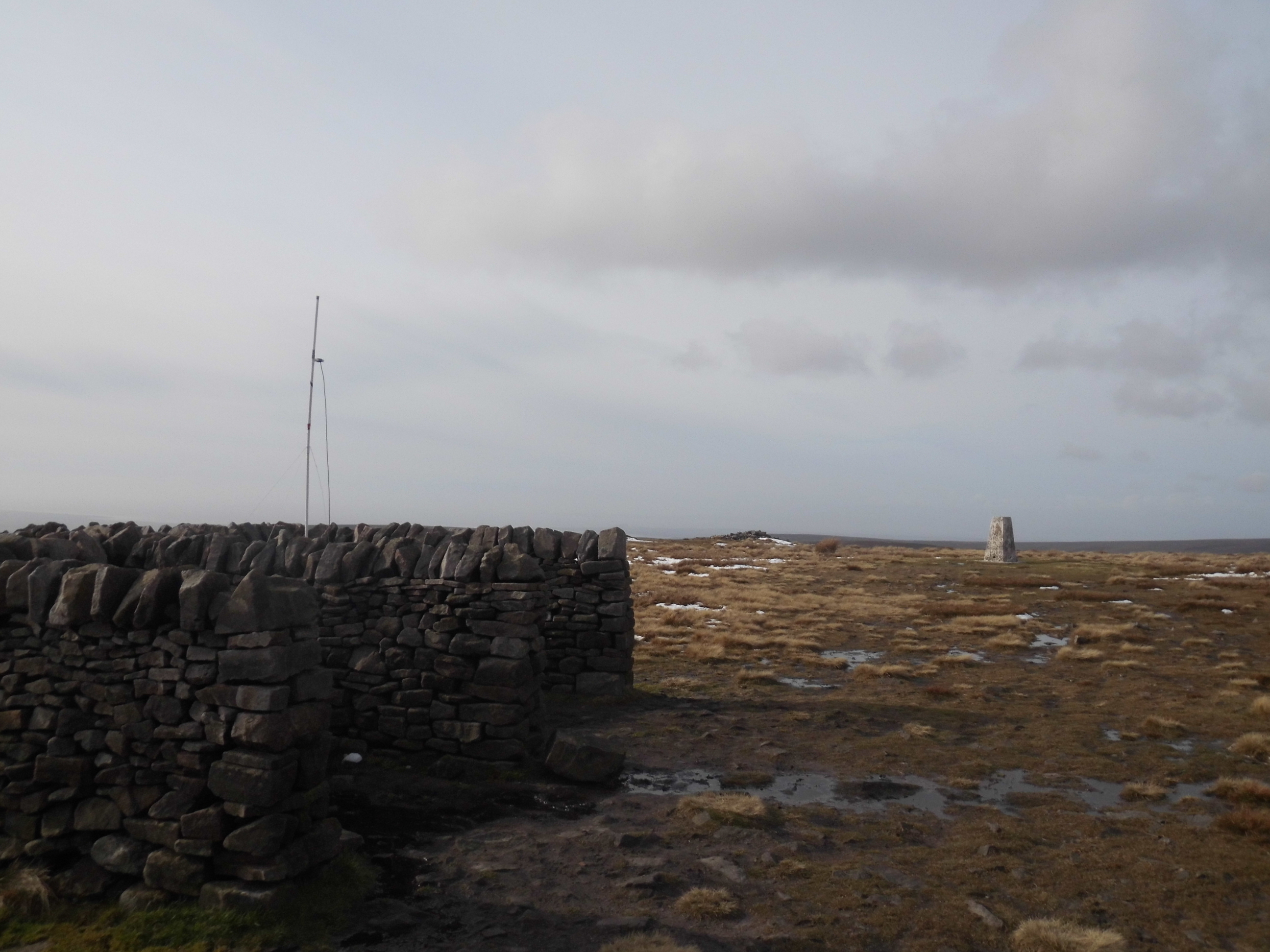
Descending Coity Mountain after snow
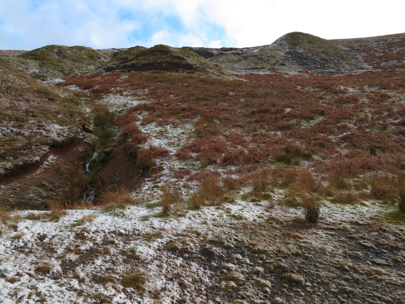
Looking back at ascent route by quarry on descent