Isle of Arran
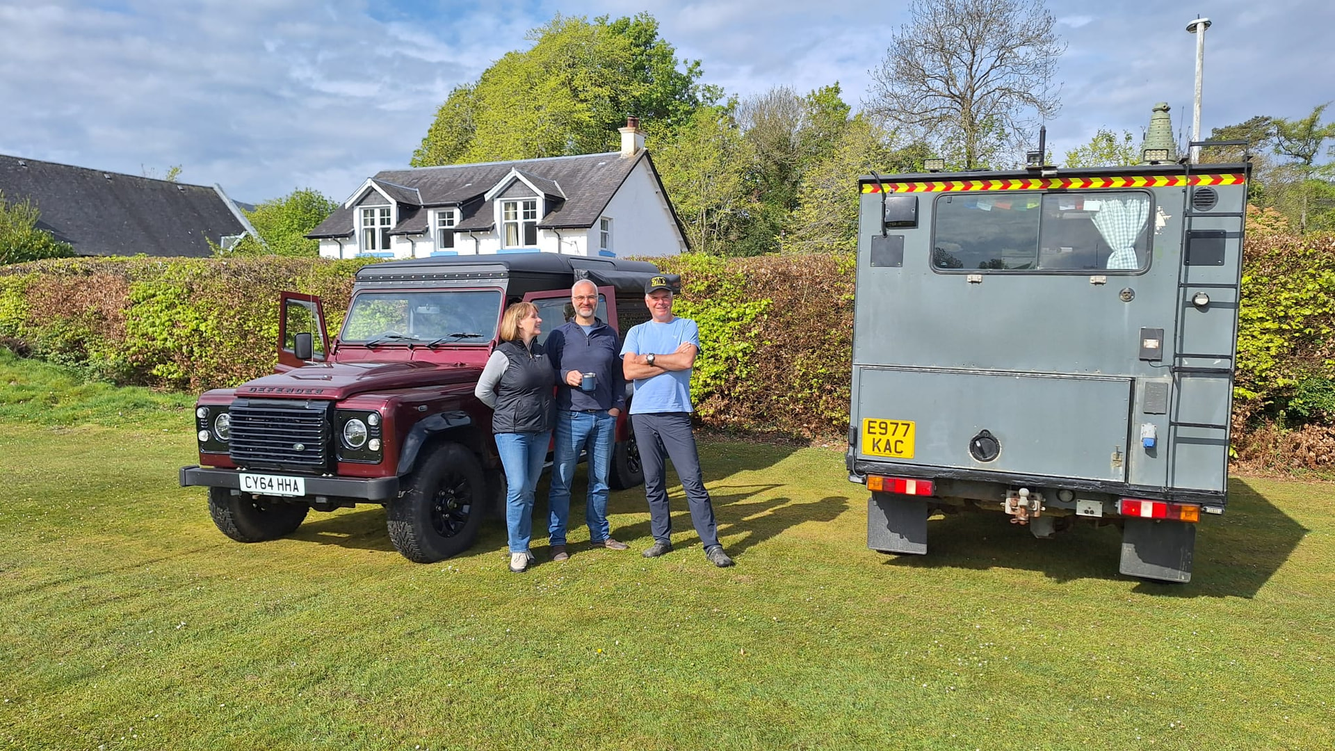
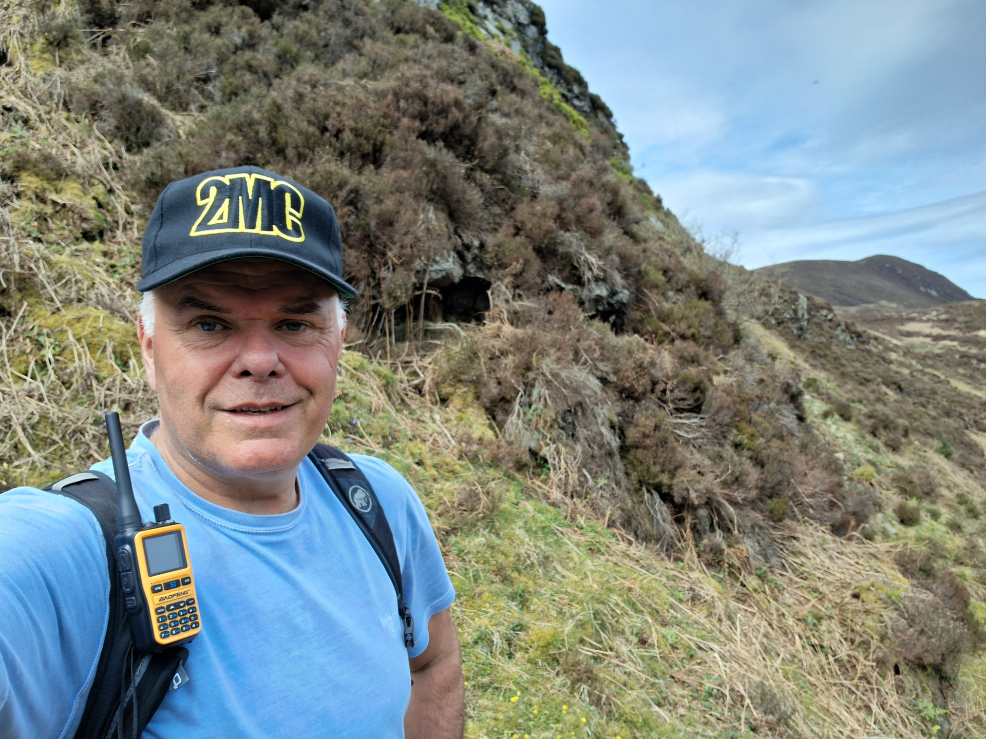
Denis @MW0CBC and me have been bumbling about Arran all week, independent of each other. Chris @2M0RVZ joined us on Thursday. We’re all here for the Arran Rock & Blues Festival.
We all rocked up at the festival campsite on Friday morning and grabbed a nice spot. They put the Land Rovers on the grass and Denis’s van on the hard standing. Chris and I had planned on doing GM/SI-006 Goatfell, the highest summit on the island, but we were told once the vehicles were in, they didn’t want us moving them again. That left us the option of an extended hike to Goatfell, or head up the glen from the campsite and try A’Chruach GM/SI-063.
The Route
I’d already done some planning for this one. Most folk climb it from the high point of the String Road, which crosses the island. That’s currently shut and anyway we had to walk from camp. So, I drew some lines on a map that linked an estate track, a forest trail, a short piece of forest road, some footpath and finally a break in the forest. After that, no path and lots of tightly spaced contour lines leading to a 1km flattish walk across to the summit. Just one river crossing but there was a bridge (according to OS 1:25,000). The route was just under 6km one way. All good, in theory.
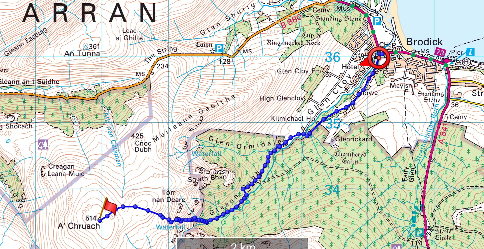
The Expedition
We left the camp at 1100 and immediately turned left up the road, which soon became gravel and then grassy after passing some nice houses. The way down to the bridge was thick with spiky brambles and brush. There was no bridge and the water was 3m below us. There had been a bridge because the stone work was there. One iron beam remained. “I’m not crossing that!”, said Chris. 100%.
We found a way down to the stream and up the other side, ending up in a chaps yard. He was friendly enough to the trespassers. He’d almost finished building a wee eco-house and was hoping to use it as a model for affordable housing for locals, on an island full of air bnb’s and holiday homes.
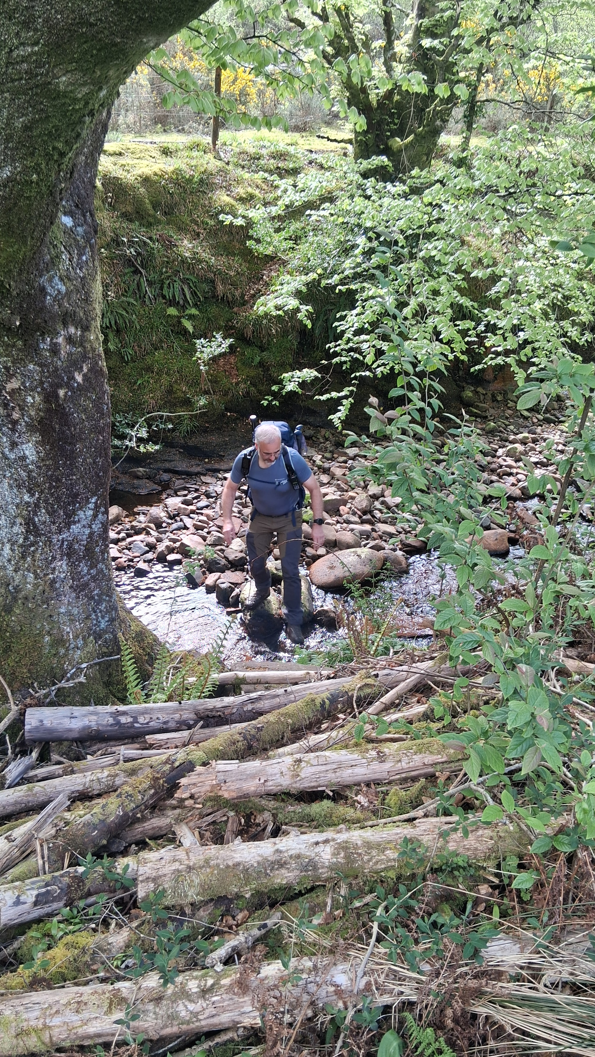
Next, a horse field, then a nice path into the woods. A forest road appeared but we couldn’t find the next footpath, so we followed the forest road to the end and then scrambled down steep ground ,which was decked out in saplings, brambles and wind blown trees. I wasn’t hopeful, but we actually found a decent grassy ATV track heading up through the woods.
We followed this track up through the forest, over a marshy bit, then along the burn and over a small meadow. By this stage it was single track and seemed to be a well used deer track.
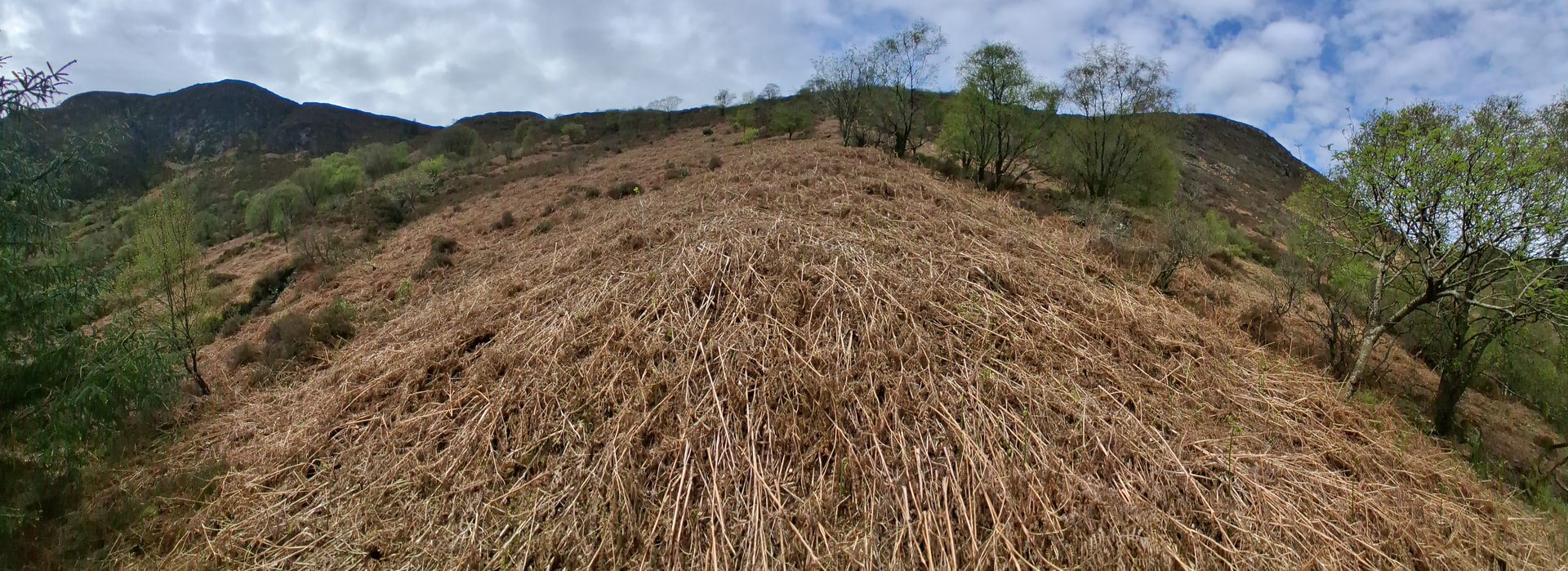
Up we went, out of the woods, hampered by steepness and last years bracken catching our boots. That and thorny brambles.
Then it got really steep. We climbed direct, picked up another deer track and kept going up. When the angle eased slightly, we looked up and saw even steeper ground above, with no respite and no easy way out of the amphitheatre we found ourselves in.
After a short committee meeting, where all options were discussed, Chris (sensibly) left me to continue alone. He had a much more enjoyable descent through the woodlands, now that he knew the way, staying on the same side of the stream all the way back to Brodick.
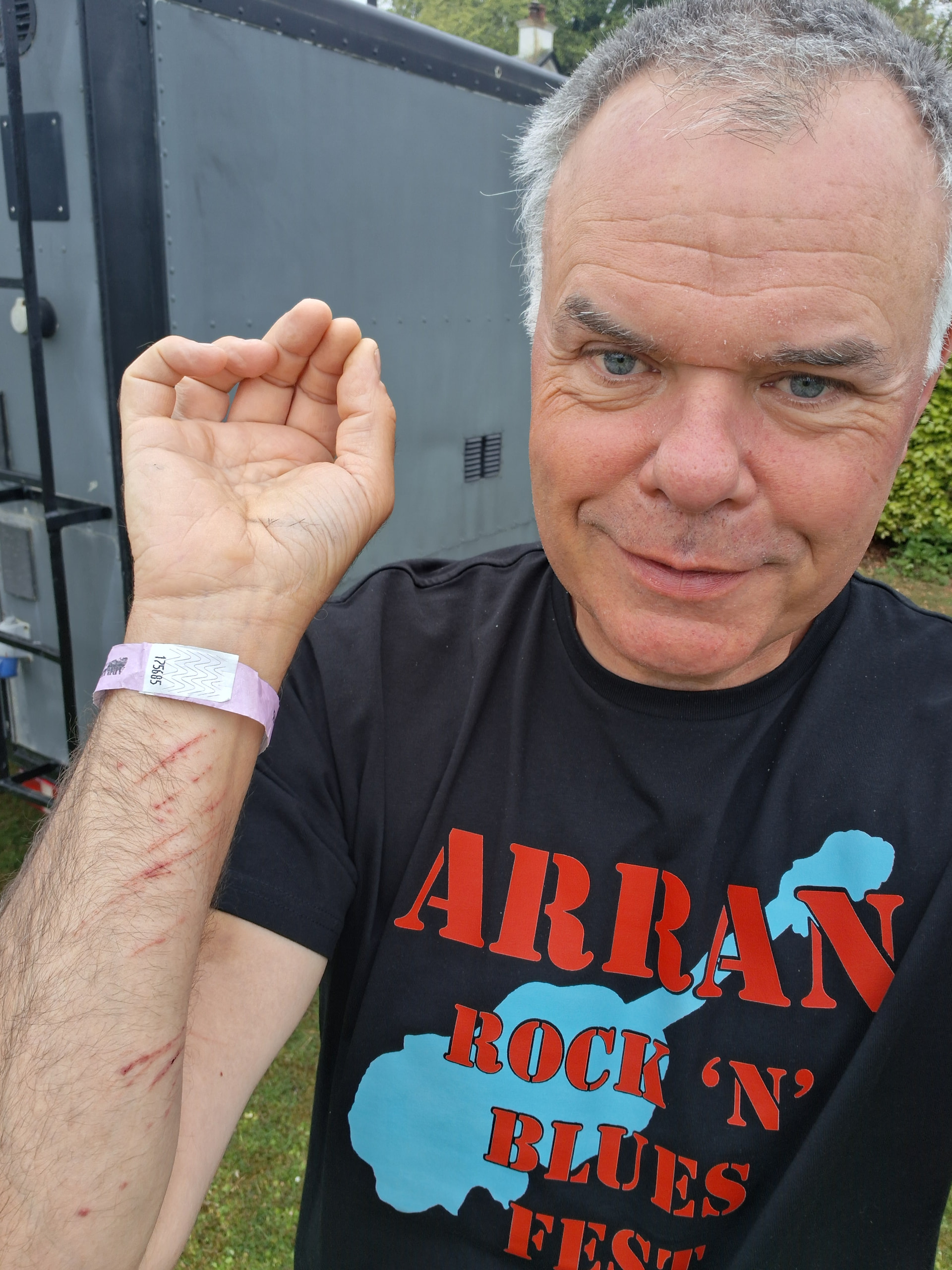
Me, I pushed on, criss-crossing the steep stream and then ascending a grassy bank, then deep heather before popping out on to easier ground. The summit was still 1km away. On the way, I fell in a bog, a peat hag and a hidden hole. Eventually, I clambered up to the unremarkable moorland summit.
The Activation
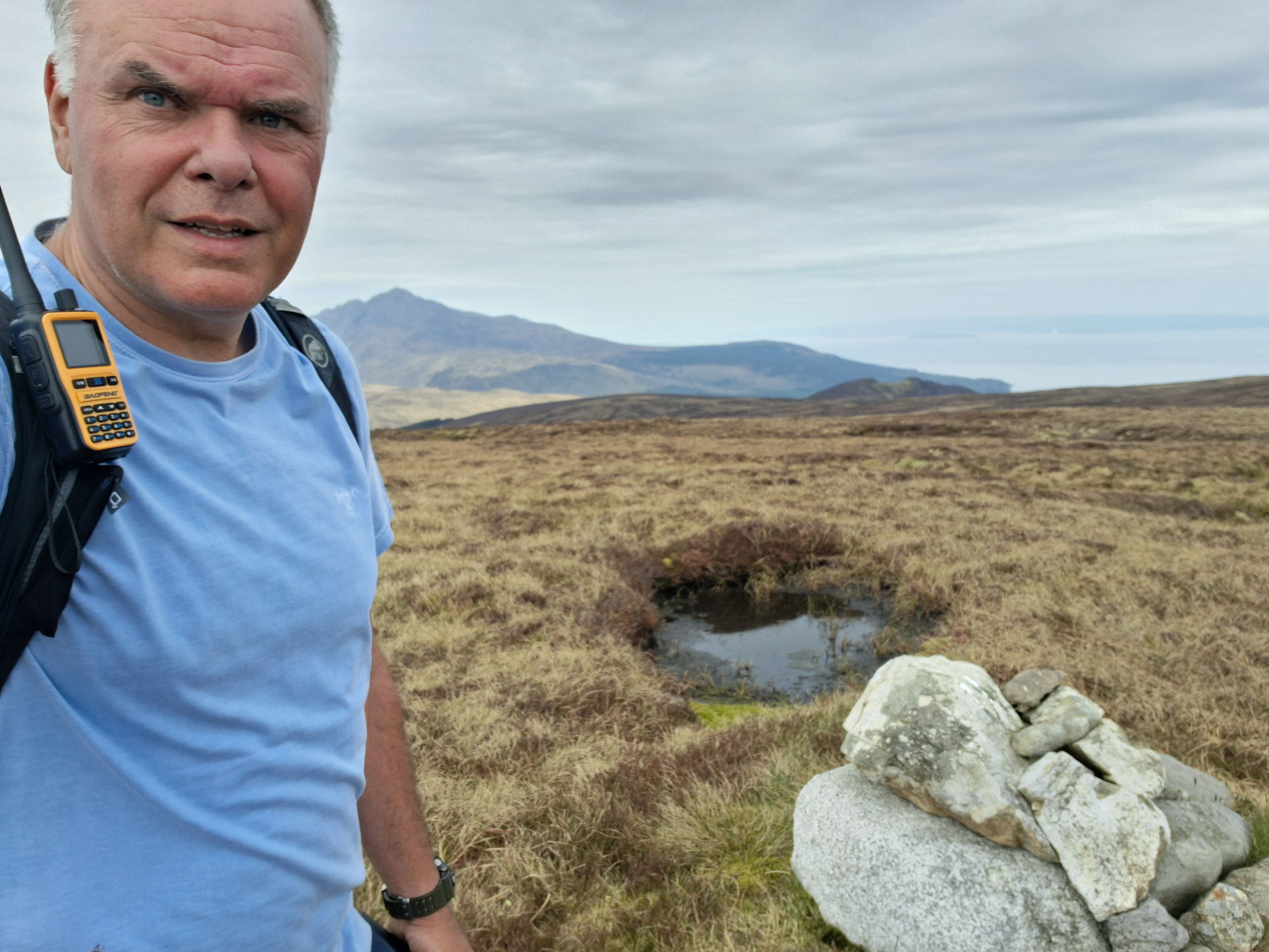
2m FM is always good on Arran. Obviously, I had contacts with Denis and Chris. Then a few more, and a move to HF. Bands have been variable recently. I added a few on 20m and 40m, but nothing on 17m. Time to go.

I meticulously retraced my steps and took the same line down the streams and around various trees that I’d noted on the way up, picking up the deer tracks leading back to the woods. It was a descent with no drama apart from a bum slide or two on the old bracken.
I stopped at a wee waterfall for a bottle refill and photo. I reached into my back pocket.
THERE WAS NO PHONE.
I messaged Alex, Denis, Chris and Tim via Iridium. That way Mo would know I’d be late. Tim offered to ring my phone every few minutes. I set off back up the slope, slowly, listening. A healthy young adder listened too and once he heard me, he was off. The things you see when you don’t have a camera…
I eventually made it up to the spot where I took my last photo. Iridium messages pinging back and forth with Tim. Nothing. I retraced my steps, taking a real good look through the bracken and heather on the way.
Then I heard it. Using my best DF skills ![]() , I made the way to the location of my last bum slide, an area I’d already checked. I had to get within half a metre of it before I spotted it. Cheers Tim!
, I made the way to the location of my last bum slide, an area I’d already checked. I had to get within half a metre of it before I spotted it. Cheers Tim!
To cut a long story short, I found my way back out of the woods, enjoying spring wild flowers at every turn, eventually making it back to camp at 1645, only to be marched to the showers with a toilet bag and fresh clothes to get cleaned up and ready for an evening of food, beer and music.

Outcomes
I wouldn’t recommend this route after Spring because the bracken and brambles would be up at waist height. Actually, I wouldn’t recommend it at all. The woodland was well worth exploring, especially at this time of year.
The last time I left my phone on a summit, it was in December and I was with Alex. We had to re-ascend thigh deep heather over rocks because the descent track was too steep to cycle back up. And it was snowing.
I’m surprised he still comes out with me.