The Wiss SS-122 and Turner Cleuch Law SS-140 are pair of summits frequently activated as a pair. Last time I was out this way I did Turner Cleuch but as the WX looked dodgy I skipped The Wiss. It was The forecast wasn’t brilliant so as these 2 are reasonably close they made a decent pair of filler summits.
Turner Cleuch Law GM/SS-140
I took the route now known as Colwyn’s Route (first described by Colwyn MM0YCJ). I parked at NT279200 which is the start of a forest track. There’s loads of space here or opposite on the track to Berrybush Farm. Then you follow the track through the partially felled forest to the road junction. There’s a stagnant pond here, a logger’s caravan and the track goes straight on or doubles back on itself climbing quicker. Follow the road around and up the hill and keep going to the big turning circle at the end. On your left you can see a firebreak in the trees which are set back about 50m. It’s a simple climb up this till you hit the drystane dyke. Well it used to be simple. The trees have grown and it’s a bit overgrown in places. I needed to push my way through the branches. At the dyke turn left and follow the track between the dyke and the trees to the summit. Again there were a few trees making this a bit harder than it used to be. Next person up here needs to bring some loppers to trim the branches! At the top, turn right over the fence and 25m or so is the true top. There’s a fence for supporting antennas.
Conditions were as rubbish as they have been for a while now. 10MHz worked bringing me central Europe and Spain, 14MHz brough 2 Europeans and, of course, Matt KA1R and 18MHz brought me UY5BO who was a big signal. No signals heard on 10m or 6m  Not a lot of activity but with another summit to do I didn’t mind packing up. Especially as it was July and I had only brought my Summer fleece. it was perishingly cold for July Take some pictures… hang no film (SD Card) in the camera. OK, lucky the phone has a camera.
From here you used to be able to get a good view of The Wiss across the way, especially the forest on the side facing me. Bill G4WSB went up a firebreak when he did this and it was much quicker than my previous route. Well the trees had grown a lot in the 8 years since I first came here and I could only see the actual summit, not the slopes. I’d checked the aerial photos on Google and Bing and the firebreak on The Wiss looked good but a big narrower than the one I’d come up. Considering the one I’d come up had become quite overgrown, I now didn’t fancy a firebreak I couldn’t see. I mulled on whether my route was feasible on the way down. Time up was about 40mins and time down about 25mins. Back at the car I decided that an overgrown firebreak would only be overgrown at the top not at the bottom and that would be most annoying to fail near the summit. Diesel is now much cheaper than a few weeks back so I decided to drive all the way around St. Mary’s Loch to the easy starting point. There’s another route from the side I was at but nowhere to park. Or nowhere easy to park.
Turner Cleuch Law summit:
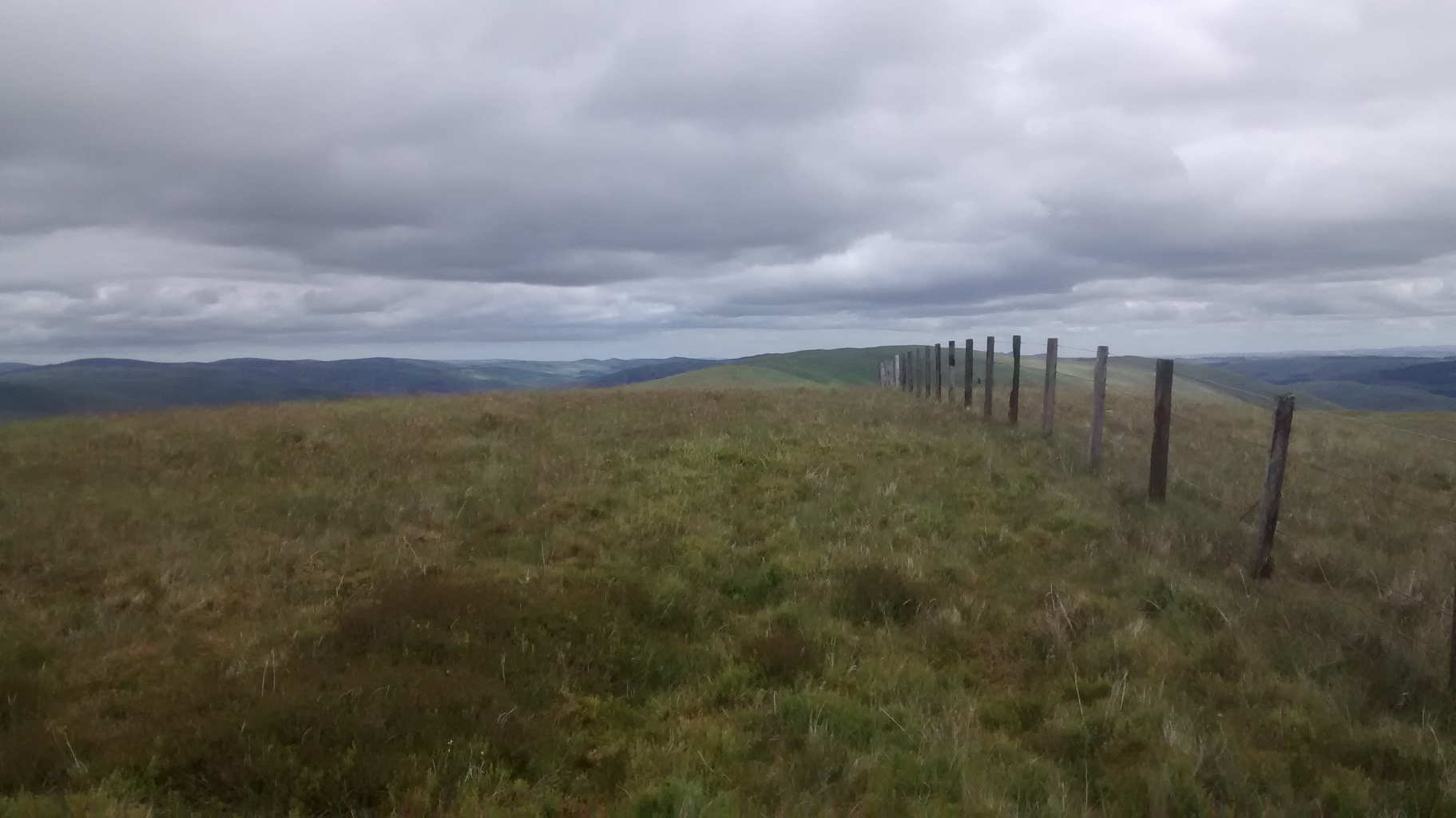
The WIss summit is just visible, the trees are too tall to see the lower slopes anymore.

The Wiss GM/SS-120
I’ve no idea why it has such a strange name. But it’s a decent enough walk. I parked at the car park (NT238204) a 100m or so before Tibbie Shiel’s Inn. There were lots of cars here and it had warmed up a little by lunchtime though still a dismal day for July. I was going to park at the inn and have a coffee before setting off but the car park was full and a Harley-Davidson group was just departing, lots of bikes, lots of noise, too much hassle waiting. From the car park you walk past the Inn following the SOuthern Upland Way to the mobile phone mast. There’s a gate and style and you continue following the good track along the SUW as far as the first 90deg right hand bend as you cross over the burn that flows from Craggy Sike. On the far side of the burn, leave the SUW and go up. Keep going up at all times till you come to the haggy bits around NT255205 then keep going up and up to the fence and then the Trig Point.
The trig was a handy windbreak because it was cold again at the top. Occasionally brighter but miserable TBH. I started on 30m and worked 6 Europeans, on 20m CW I was again chased by Matt KA1R (damn good ears) along with 7 more Europeans, 20m SSB was lively with 7 stations worked. It was good to talk to Guru EA2IF for the first time after many emails and CW QSOs. Finally I managed 3 more on 17m SSB. Apart from Matt KA1R, 18MHz produced the best DX into the Ukraine. Nothing on 10m so I didn’t check 6m. It was still cold and there were spots of rain. July in Scotland. Back down to the car where it was noticeably warmer.
These are 2 easy hills and with good radio conditions or good WX they’re delightful. There’s the chance of after walks refreshment at the inn if you fancy. Remember the drink drive limit is now 60% of the English limit should you fancy a tipple.
View to White Coomb GM/SS-030, lots of Bog Cotton but the ground was quite dry.

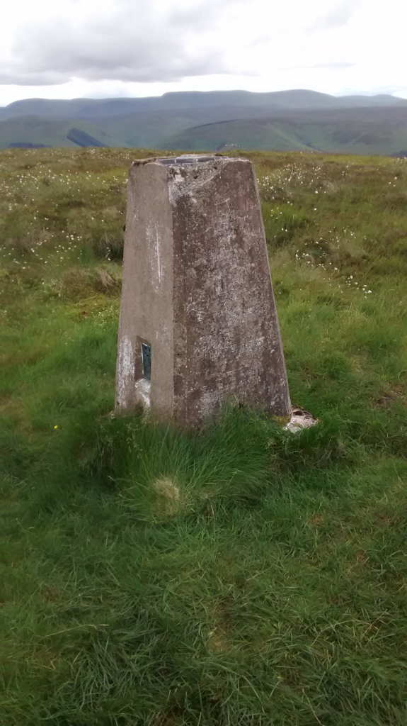
Trig point summit The Wiss GM/SS-122