Ah The Cobbler GM/SS-020 is a very striking 884m summit at Arrochar to the West of Glasgow. There’s a bunch of shapely mountains here known as the Arrochar Alps as they are quite spiky unlike many Scottish mountains. I did a neighbour, Beinn Ime GM/SS-006, in similar sunny WX just over a year ago. I discovered then, I can do probably just one of the three summits here (Cobbler, Ime and Beinn Narnain GM/SS-016) per trip, I’m just not fit enough to do more and activate and enjoy the effort.
The WX has been very good this last week, fixed high pressure leading to moderate tropo on 2m and up across to Scandinavia and NW European coast. The forecast was for little wind, blue skies, no cloud and maybe up to 16-18C. Better still the SFI was 148 and K index down to 2. Aha… time to pack the SOTA bag. I’ve been using my IC-705 recently… he only gets used when VHF/UHF is needed but I rather like using him on HF with an ATU-10 tuner. But he’s a big heavy slob compared to the KX2 so they were swapped and I also decided to give my Eremit battery some love and attention instead of the Hobbyking unit, again as the Eremit is noticeably lighter.
Up at 5.50, diabetic drugs taken, emails for 40mins whilst they do their magic, then breakfast and a gallon of tea. When I got up the fog was so thick I couldn’t see the car. But 45mins later you could see the blue in the sky. Into the car, off for an 80mile drive West. The traffic at Glasgow was the usual pish and there’s lots of roadworks after Glasgow centre. So it was plenty of stop / start and slow traffic. I pulled into Glenloin car park, Succoth (Arrochar) at 8.35. Get the pain over with, parking ticket bought, it’s £1/hr and a big fine if your ticket expired, I bought the full fat ticket at £9 (gasp) but that gave me loads of time. Boots on, suncream on because it was bright blue sky and warm already. Check radio, battery, log paper, antenna, pegs, pole, suncream, water, more water and chocolate. Off at 900am on the dot, cross the road, take a few steps, 180 about turn and go an collect the GPS. Repeat road crossing!
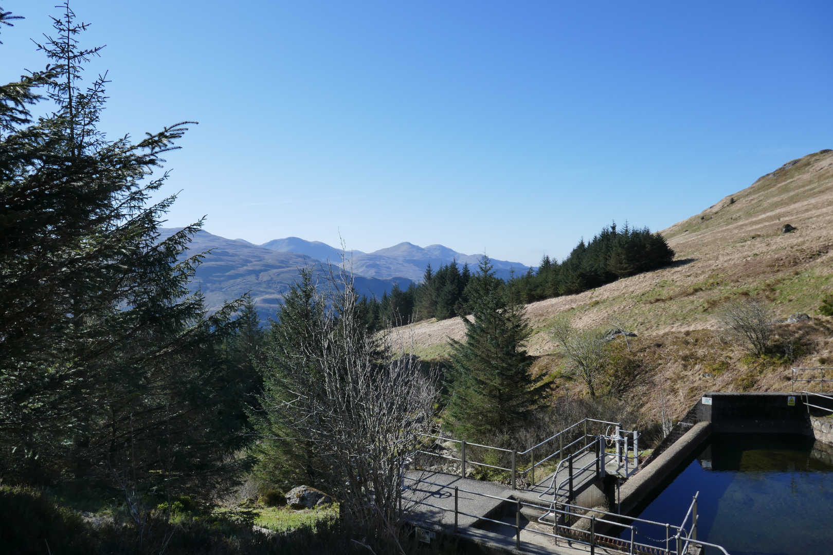
There’s no easy introduction to the walk. Into the forest and climb. 26 bends on the zig zag path as you climb from sea level to about 350m and emerge from the woods at the dam. Water is collected here and fed into the Loch Sloy hydro power scheme. After 50mins in the woods the views are amazing.
Hydro interceptor.
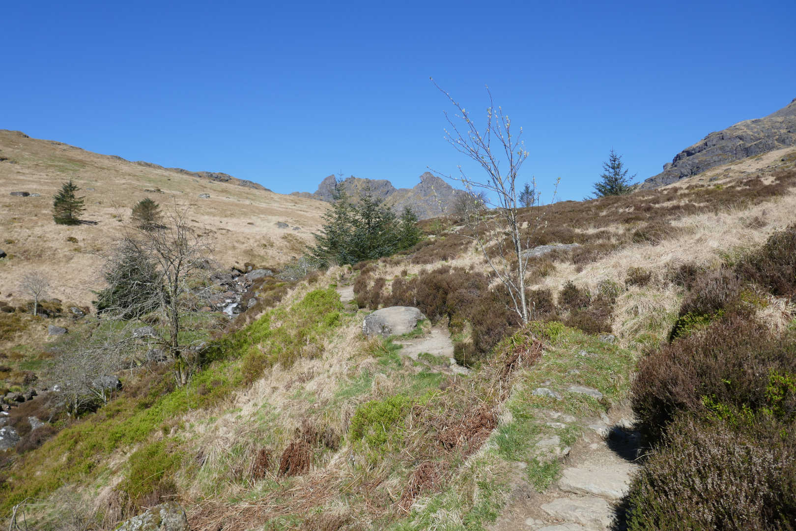
The Cobbler GM/SS-020
Beinn Narnain GM/SS-016
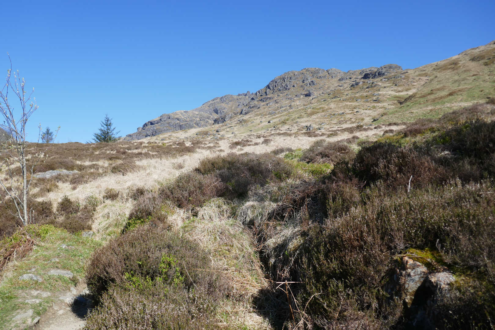
Now it’s just walk on the good but knobbly path for what seems like hours and hours. The river down in the gorge sounds amazing and then you are at the Narnain Boulders. This is a famous place for a break, drink, sandwich, cigarette, whatever.
Narnain Boulders
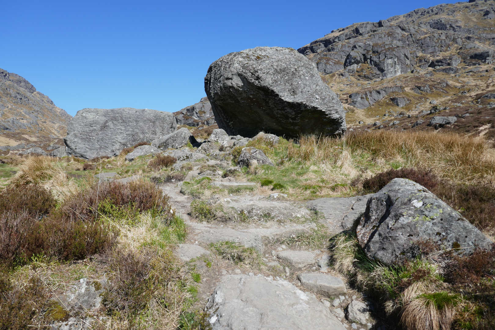
I continued up the path towards the first Cobbler path. This goes up rock steps but becomes “a bit of a scramble”. Is it airy and exposed? Is it demanding you have scrambling experience? I don’t know, the words “a bit of a scramble” directed me to the path at the back which isn’t “a bit of a scramble”!
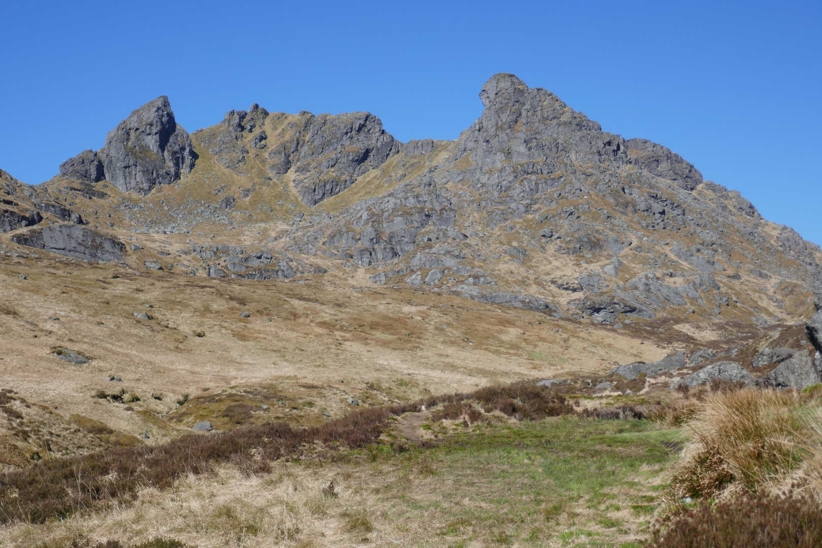
A close up of our target, the left hand peak is the true top.
Looking back from where we came and at Ben Lomond GM/SS-011, still no clouds!

So another 20mins walk and I saw the bear by the path marker. It wasn’t a bear, but an enormous fluffy black dog, a German Shepard / Bernese Mountain dog cross. Huge, I’ve seen smaller ponies. It should take 2h10 according to the computer. Then it’s up the path to the summit. This is a never ending flight of steep stone steps till there’s a gentle level section to make you think you’re done. Followed by the sting in the tail up the rocky, eroded slope to the top.
It took me 3hr05 which is around the predicted time. I was a little knackered with the physical effort and the effect of the views. Unbelievably awesome is the only way to describe the views.
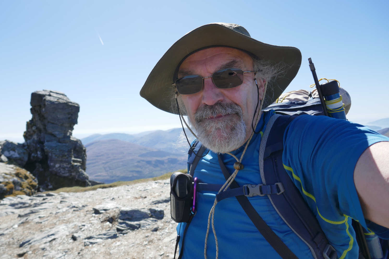
Smiling internally… I was too exhausted, physically and mentally to smile 
The Cobbler (North peak) a popular climbing target, behind Beinn Narnain (flat top in centre) GM/SS-016. To the left of Narnain, Stob Binnein GM/SS-002, Cruch Ardrain GM/SS-004 and Ben More GM/SS-001. To the right, Ben Vorlich GM//SS-008, Stuc a’Chroin GM/SS-010 & Ben Ledi GM/SS-021.
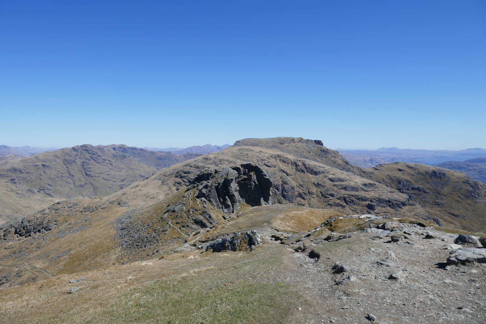
The true summit of The Cobbler, the obvious peak is Ben Lomond GM/SS-011.
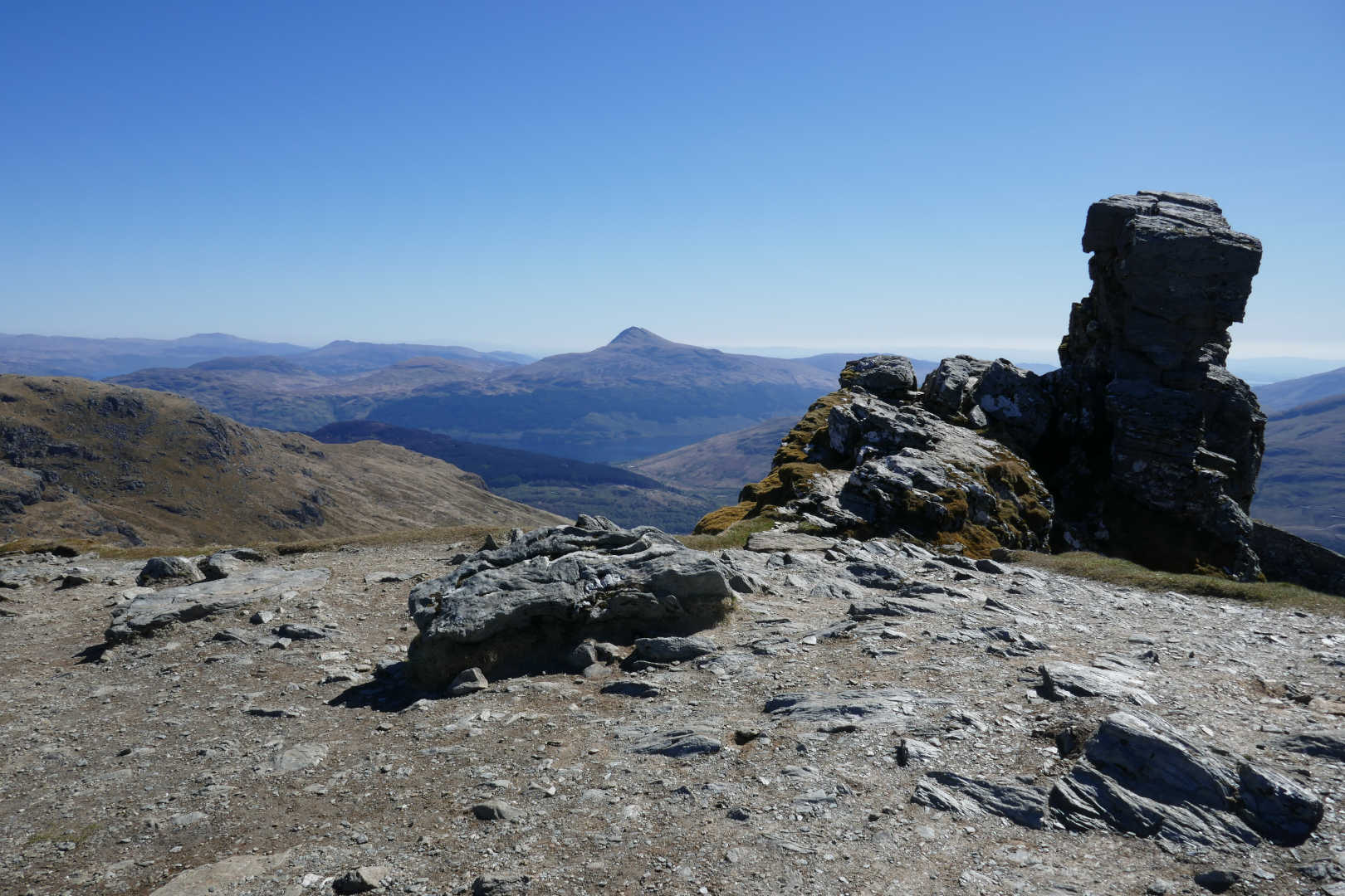
The other side of the summit, looking over the Luss Corbetts (Doune Hill, Beinn Bhreac, Beinn Eich, Tullich Hill).
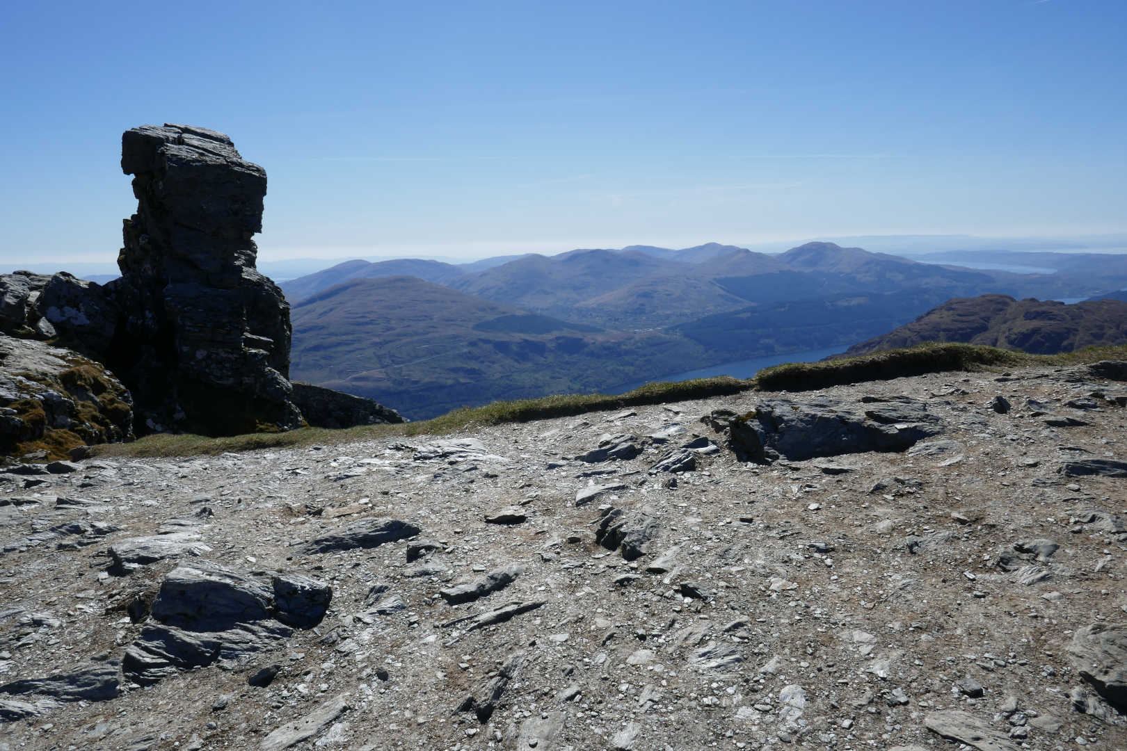
Radio was the usual 20/30/40m EFHW, a 1:64 match, KX2, Eremit battery plus VX-170 for local VHF chasing as Denis MM0CBC and Fraser MM0EFI were on Arran. I think Archie GM4KNU was out as well. First in the log was Jack GM4COX who can see the Cobbler from his shack window. Jack always makes me smile by persuading me to take an extra anvil and asking if I was intending to bag any others. Jack has been doing running, jumping and physical jerks since he was wee and I spent 44 years being a slob. I knew I had 1kg extra water with me and had been unloading junk from the bag (can’t unload the lard from my waist though) so I had told Jack I would not add another 2kg of 13cm gear. But I must admit it was tempting. I might make up a 13cm only system like Andrew’s G4VFL (70cms handy+tvtr+small Yagi).
Next was Rick GM3SR on Tiree which was a new island worked also on 2m. Then 15m CW It was slow to get going but got fun. I had a JA and JH calling at the same time. Sadly the JH QSB’d away by JA1VVH was 559/449, not bad for some damp string and 10W at my end. Then Juerg called me from the Azores…CT8/HB9BIN/P is one hell of a call to pull out the noise but he faded up and it was 539 both ways. Matt W4GO was the other DX-y call. A total of 7 QSO. 40m SSB was rubbish, weak signals and heavy QSB but another 6 QSO. 17m CW was good for 13 QSO including WF4I. A quick break onto 2m got me Fraser MM0EFI on GM/SI-027. Then 20m CW for another 8.
During all this time nobody came to ask what I was doing and there were, at a conservative estimate, well over a hundred visitors. It was almost like you could see a long line of walkers doing The Conga along the path. As I was packing up, a nice lady came up and asked what was going on. I explained SOTA and radio and she said “You must know Barry who used to live in Tomintoul?” So she knew our SOTA treasurer Barry @GM4TOE (Tilly says hello Barry!)
I took more photos and really didn’t want to leave. You get good days but this one seemed better than normal good or even very good days (probably working JA and CU).
Beinn Ime GM/SS-006. From the left on the horizon are the Ben Cruachan group, Beinn a’Cochuil, Beinn Eunaich and to the right Beinn Oss, Beinn Achaladiar, Meal Garbh etc.
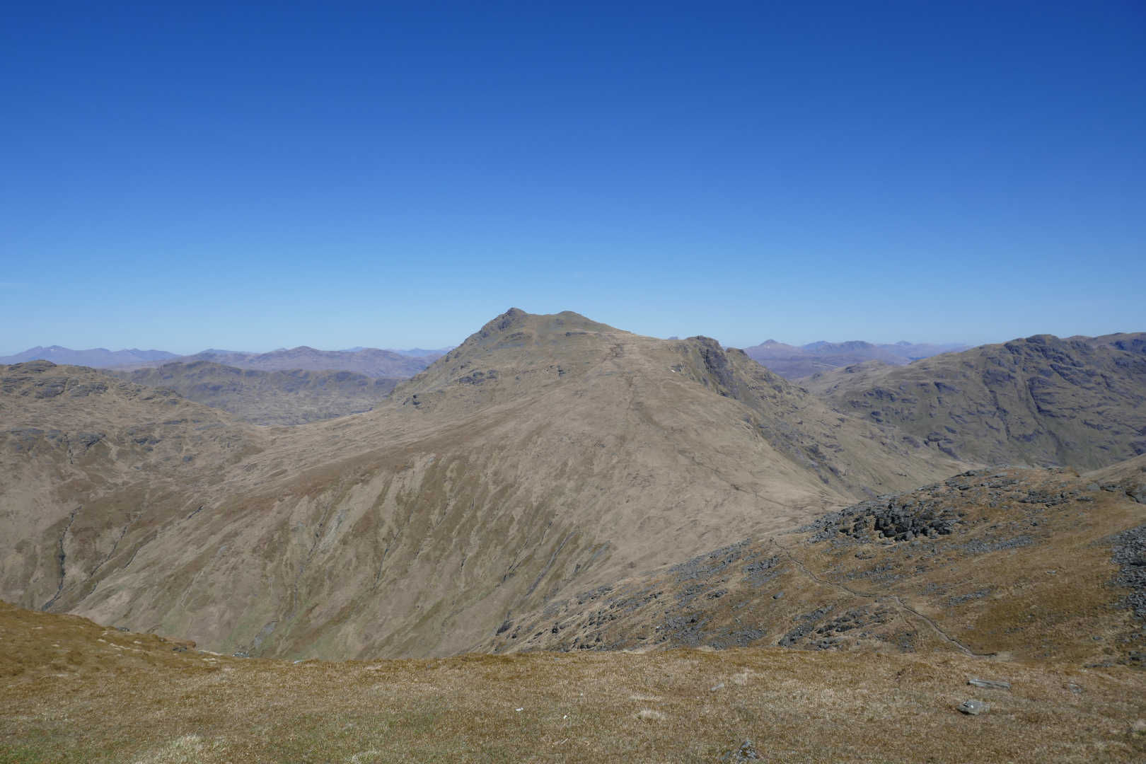
A zoom on the Ben Cruachan group, Stob Dearg, Ben Cruachan, Stob Garbh & Stob Daimh
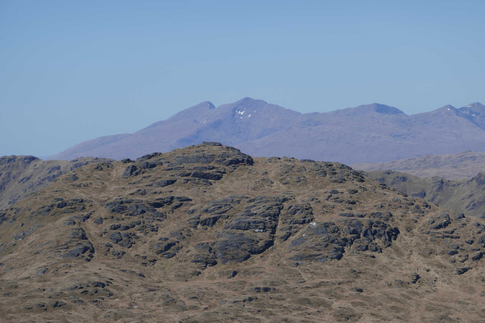
In the distance The Paps of Jura at 88km. The big lump is Beinn Donnich.
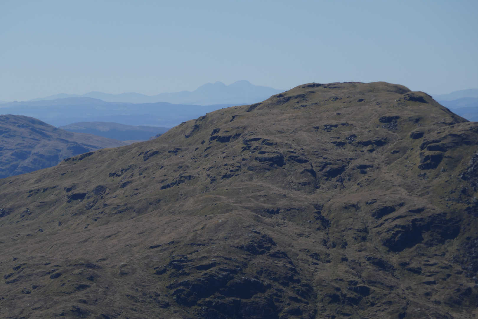
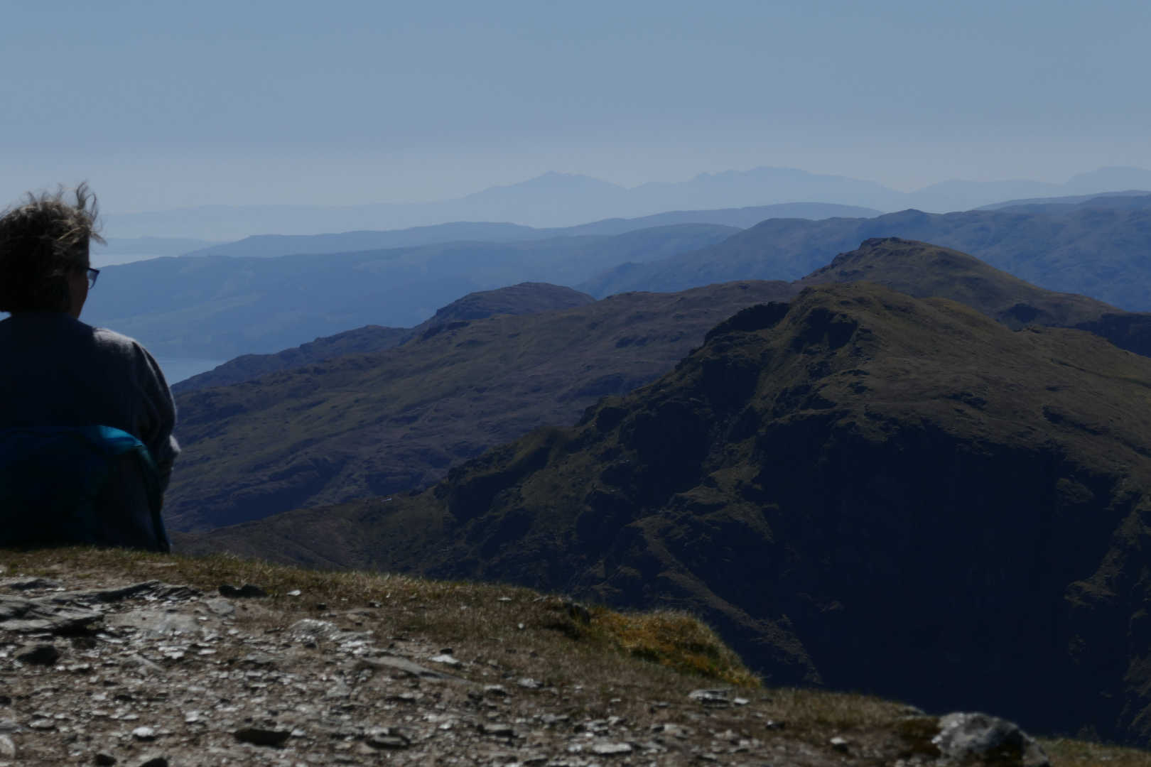
Can you see Denis and Fraser waving? Isle of Arran and Goat Fell at about 75km distance.
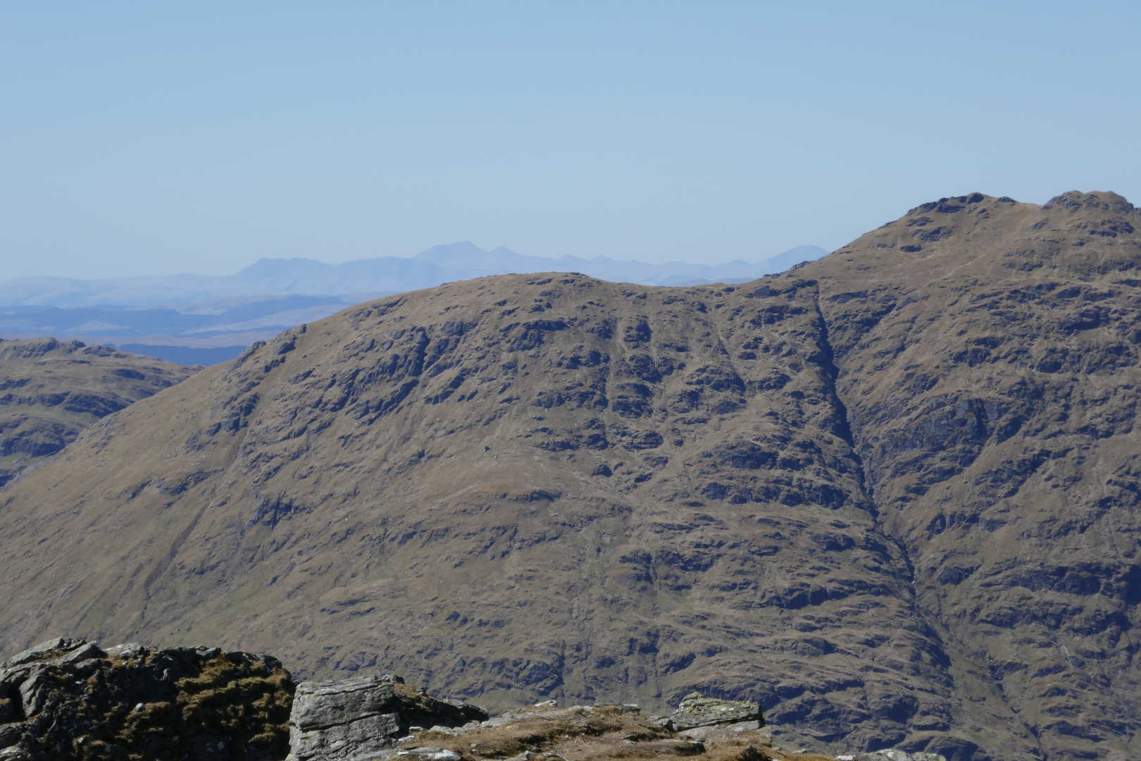
The near hill is Beinn an Lochan and the large hill in the centre far distance in Ben More on the Isle of Mull 78km away.
Threading the needle. There is a hole in the rock and you go through from the left, come out on the right and climb to the top. Do not look at the exposure or drop. Do not fall off. Every time someone did it there was a huge cheer and I couldn’t hear the radio. I missed a photo every time of someone on the top. The guy on the right is on the way down and back.
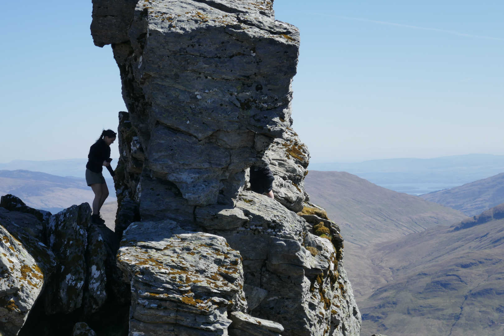
This is the left side of the needle. It shows the kind of exposure and how much drop there is. I didn’t even think about not thinking about not doing it !
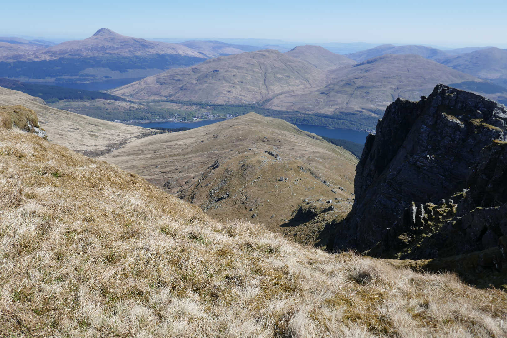
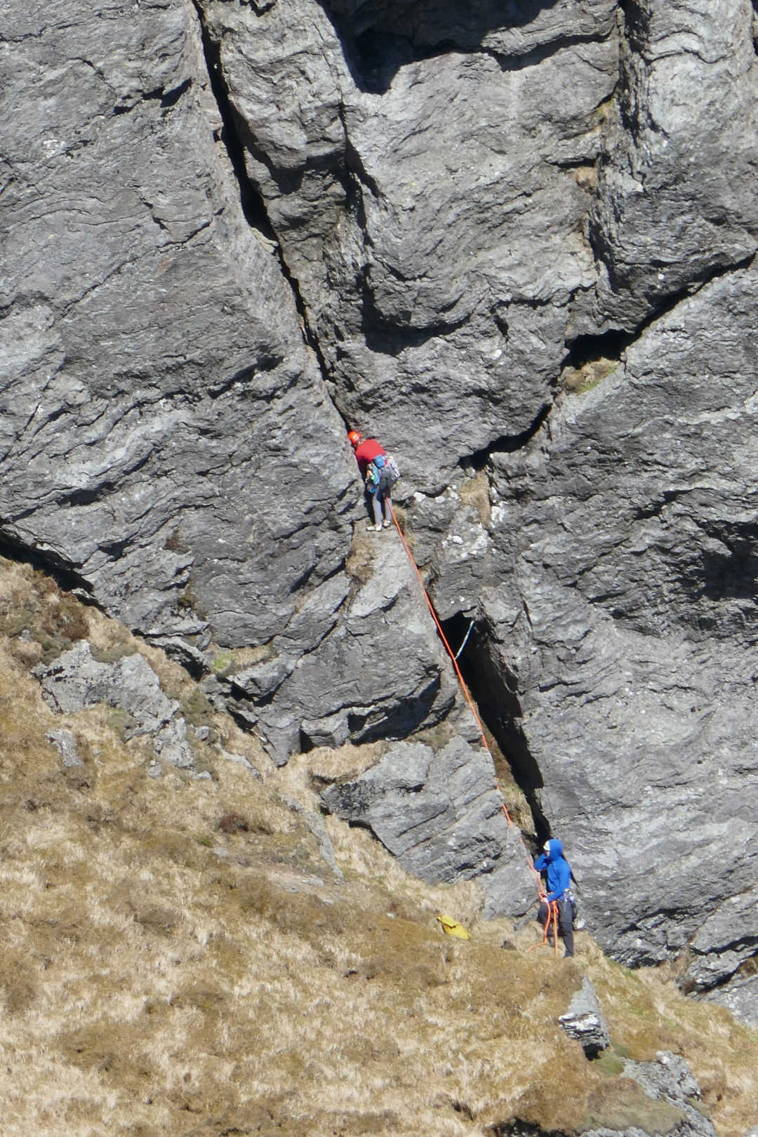
I could hear lots of shouting and it was these guys doing the “dangling on ropes” thing on the North Peak. I’m impressed they had any energy to climb after climbing up with all their gear.
After that is was back down. Now most people were well equipped but there were plenty of youngster, late teens woefully ill-equipped. I chatted to a guy resting near the final climb. He was well equipped for the climb, cotton t-shirt, cotton shorts, New Balance trainers and of course, iPhone! No water, waterproofs, warm layer, suncream. He did admit he was knackered and wished he had boots because his feet hurt. He was 18 and when he found out I was 64 he was amazed “wow an old guy who can get up this”. I’m not sure if that was a complement or not. Also lots of pretty young ladies in these groups in crop tops and tiny shorts. Shouldn’t be allowed 
I didn’t realise how steep the final climb up to the summit was, much knee aches on the way down.
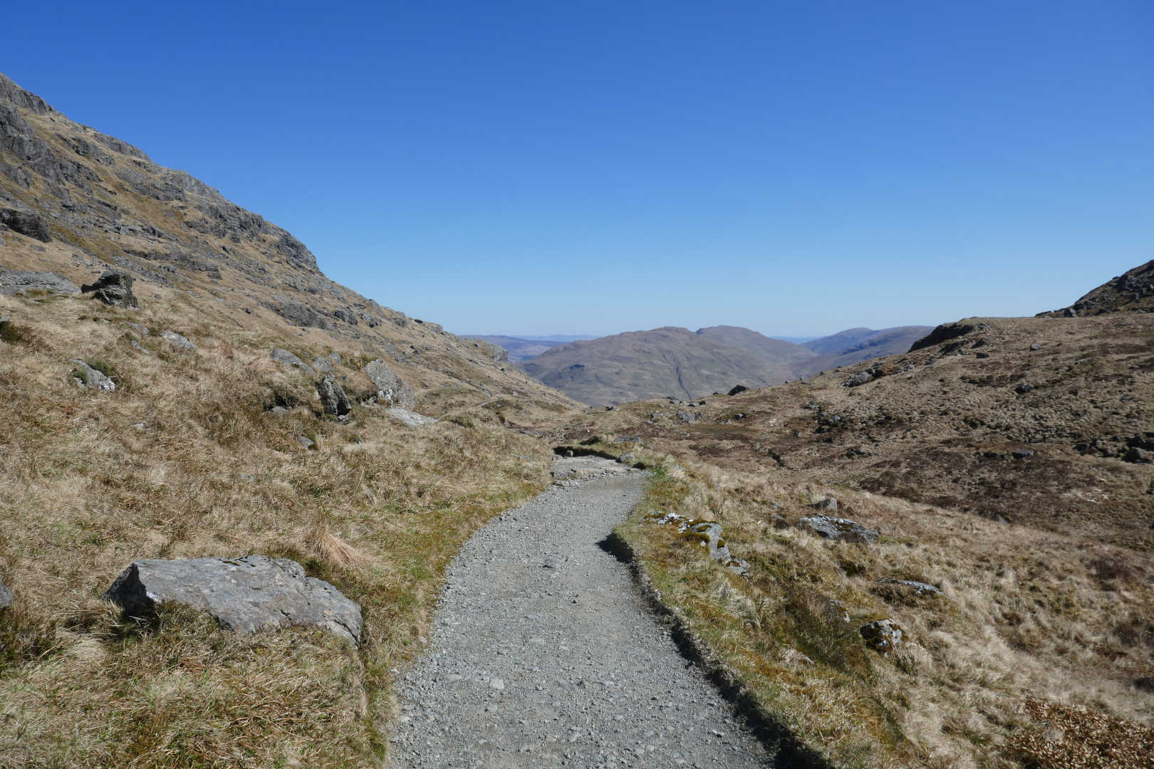
Then it’s a long slog back from here, 4+km and 620 descent. Still no clouds!
I was back at the car for 5.20pm so 8h20 total. I had 30 mins chill out time and then faced the drive back. Luckily no traffic issues.
So that’s 13km walked, 920m ascent. Doesn’t sound far but I was well and truly zonked after it. Stunning views, lots of regulars in the log (GM4COX, MM0EFI, OK2PDT, F5JKK, OH3GZ, W4GO), 3x W4 stations, an S2S with HB9BIN in The Azores and a pileup of a JA’s calling even if I only worked one. Oh and this was a complete for me.
13cm soon for you Jack @GM4COX !