Hello everyone,
This is a video adventure that - from my point of view - let’s you join a milestone in OE/OO association SOTA history. 17 years of SOTA in one of the most active SOTA communities here in OE5 and only two remote and difficult to access summits have not been activated so far.
The why:
From the east (Hinterstoder): more than 2000 m ascent. No watersource. No good bivy spot.
From the west (Gössl): about the same ascent. Long hike. Water at about 1550 m a.s.l, Good bivy spot
That sounds like a proper challenge to me.
And others had the same feeling. Activators like Christian OE5HCE, Gerhard OE5PGM and probably several others have made plans in the past but when I found out that Daniel OE5HDX was up to the challenge a plan came to existance.
Our idea was to give it a try in August or September whenever the WX allowed.
After some planning discussions Daniel went up on 6th of August to deposite a 7 liter water supply at our planned bivy place. Gear lists were made and already one week later the WX forecast was good enough although a chance of thunderstorms in summer is always there.
On a hot (31 °C in the valley) Saturday afternoon we started our hike to this epic adventure…
but see for yourself in the video.
Telling such a story is of course not done in 5 minutes so grab a drink, fasten your seatbelt and join us on your trip.
Video:

And some pictures of course too:
Day 1
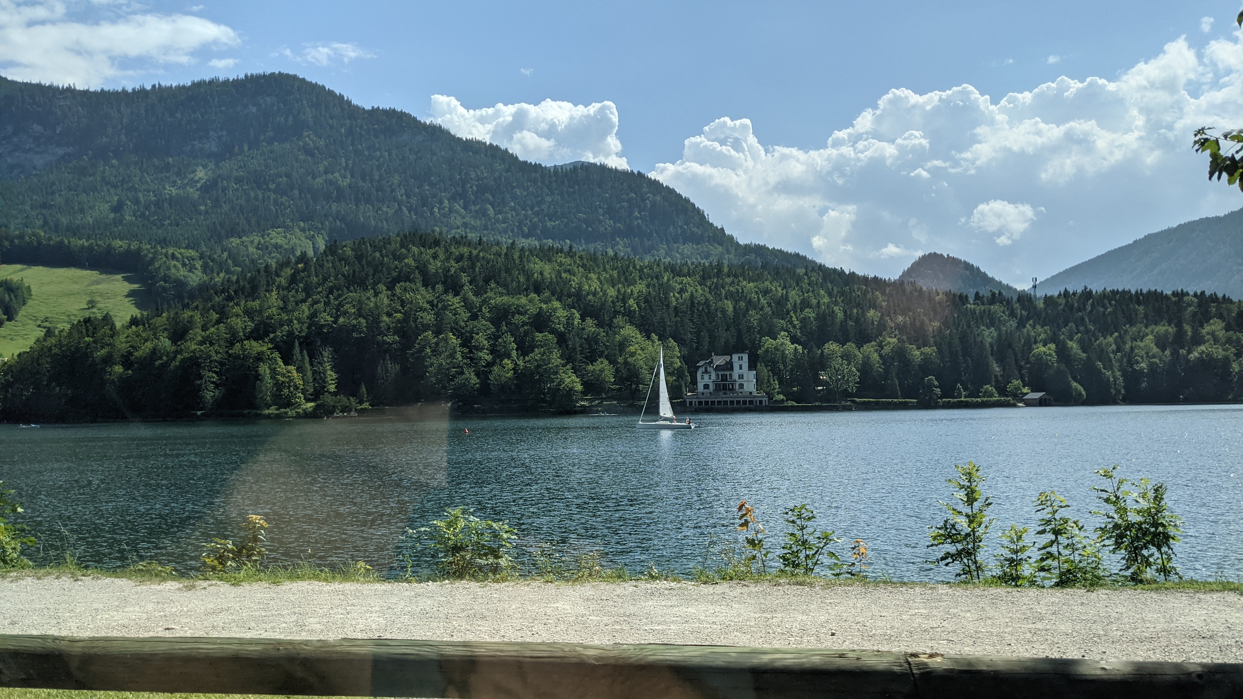
At lake Grundlsee near Gössl
The activators at “Three lake lookout”

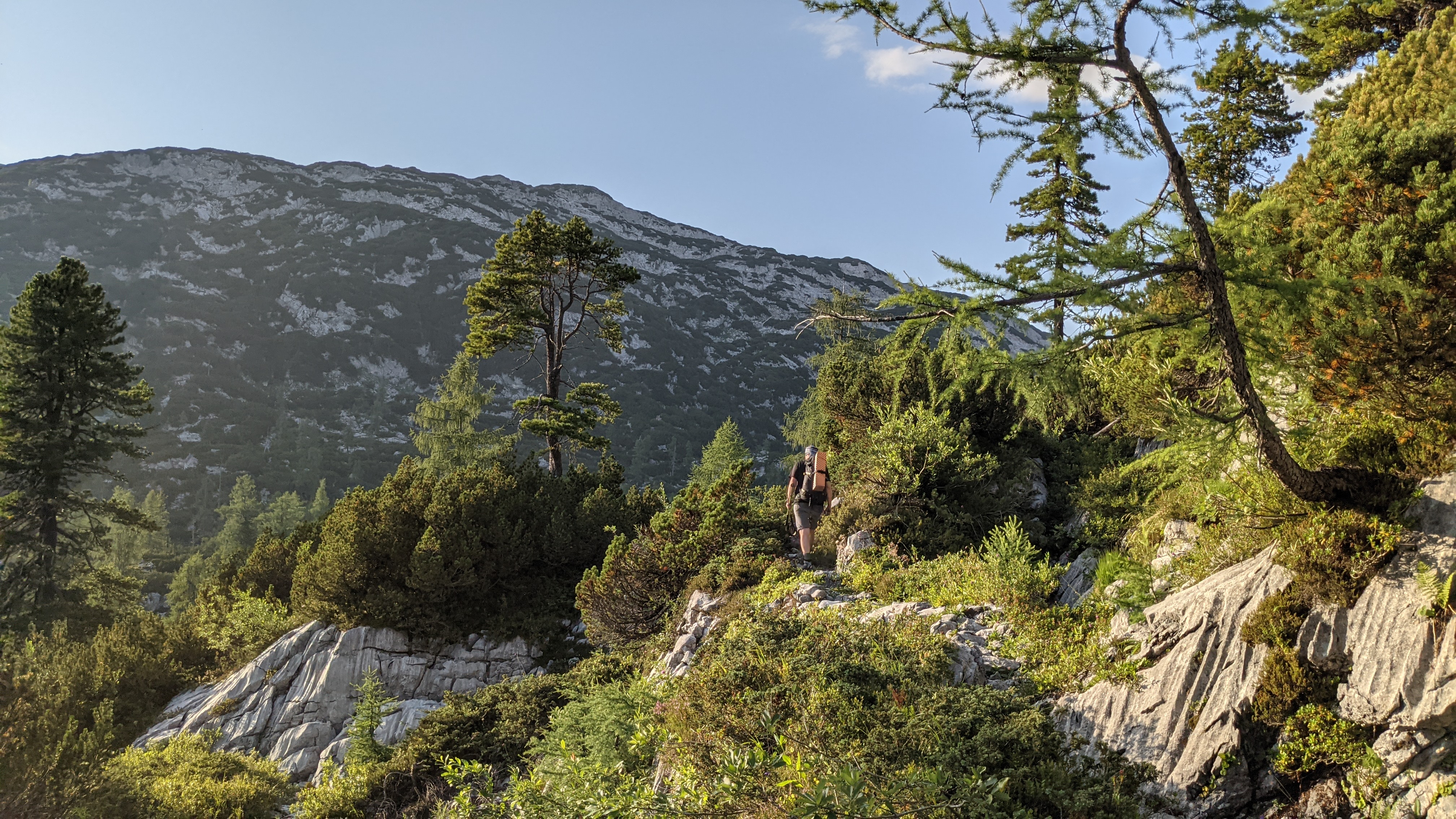
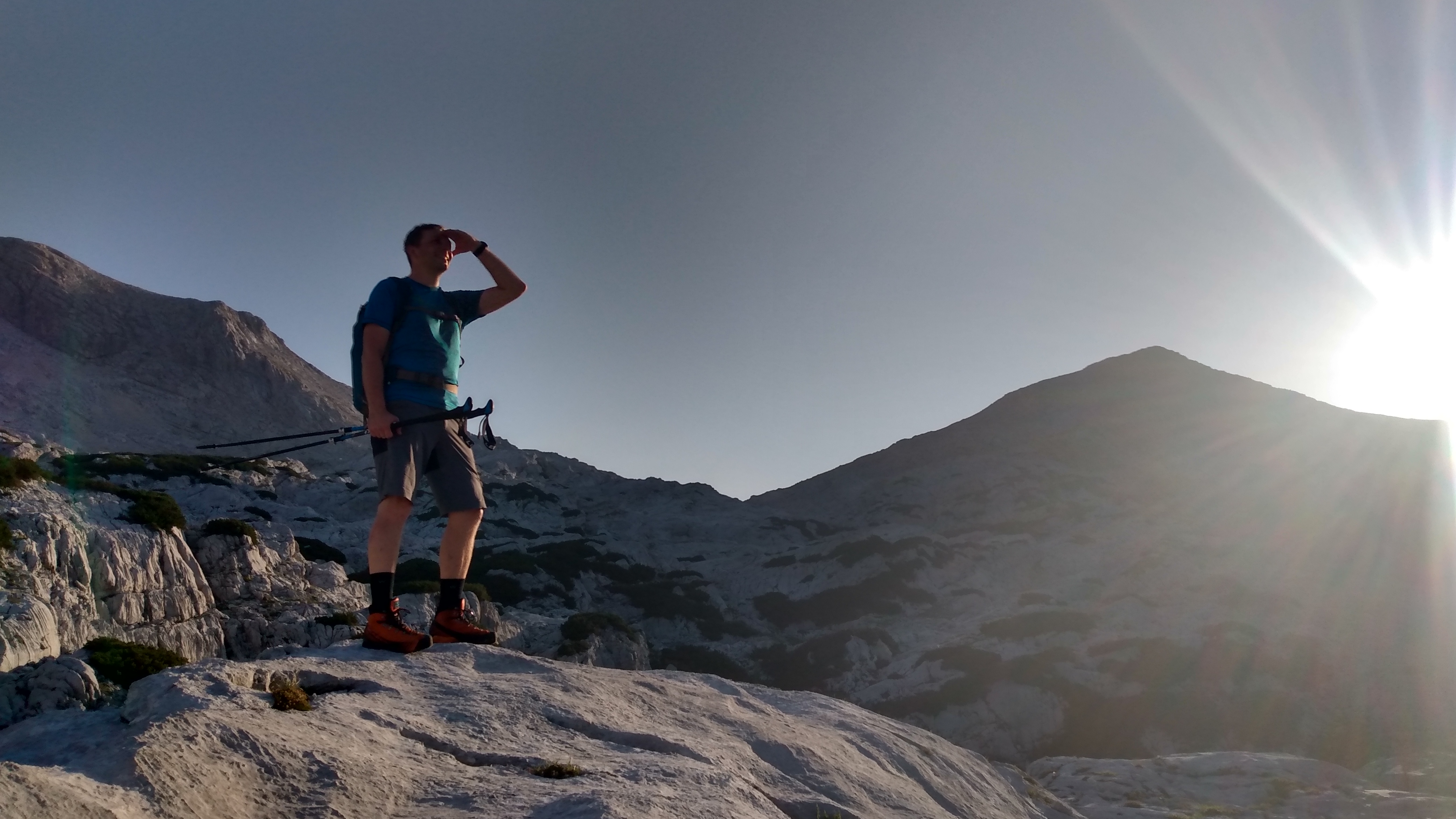
The alpine area on the way to our bivy place
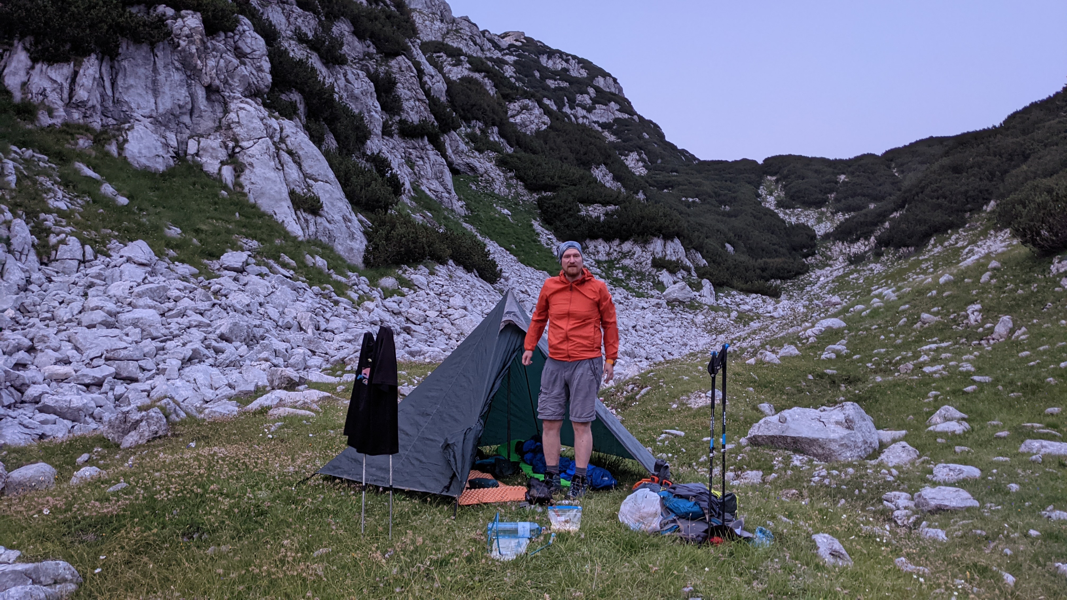
Ready for the night
Day 2
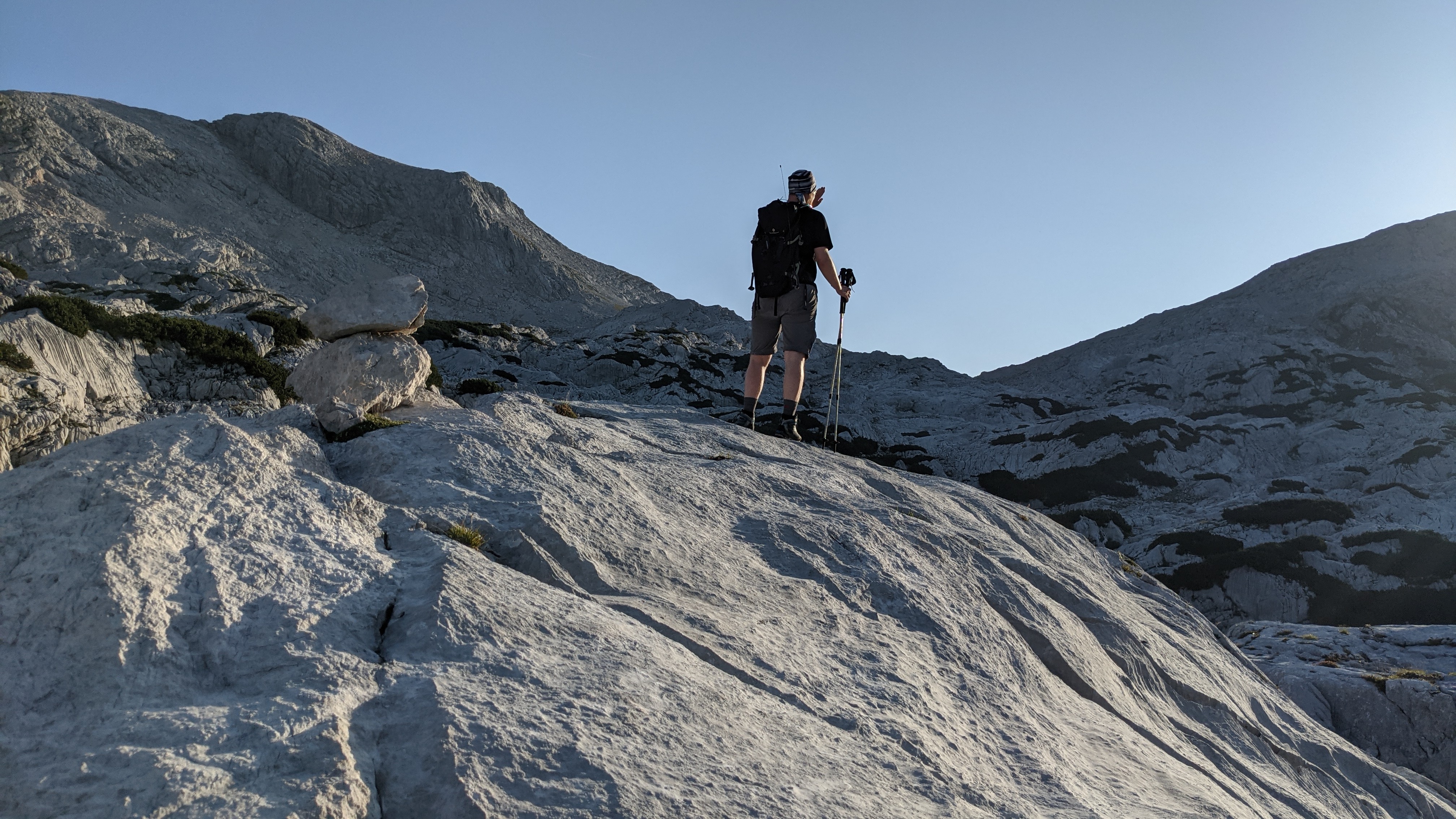
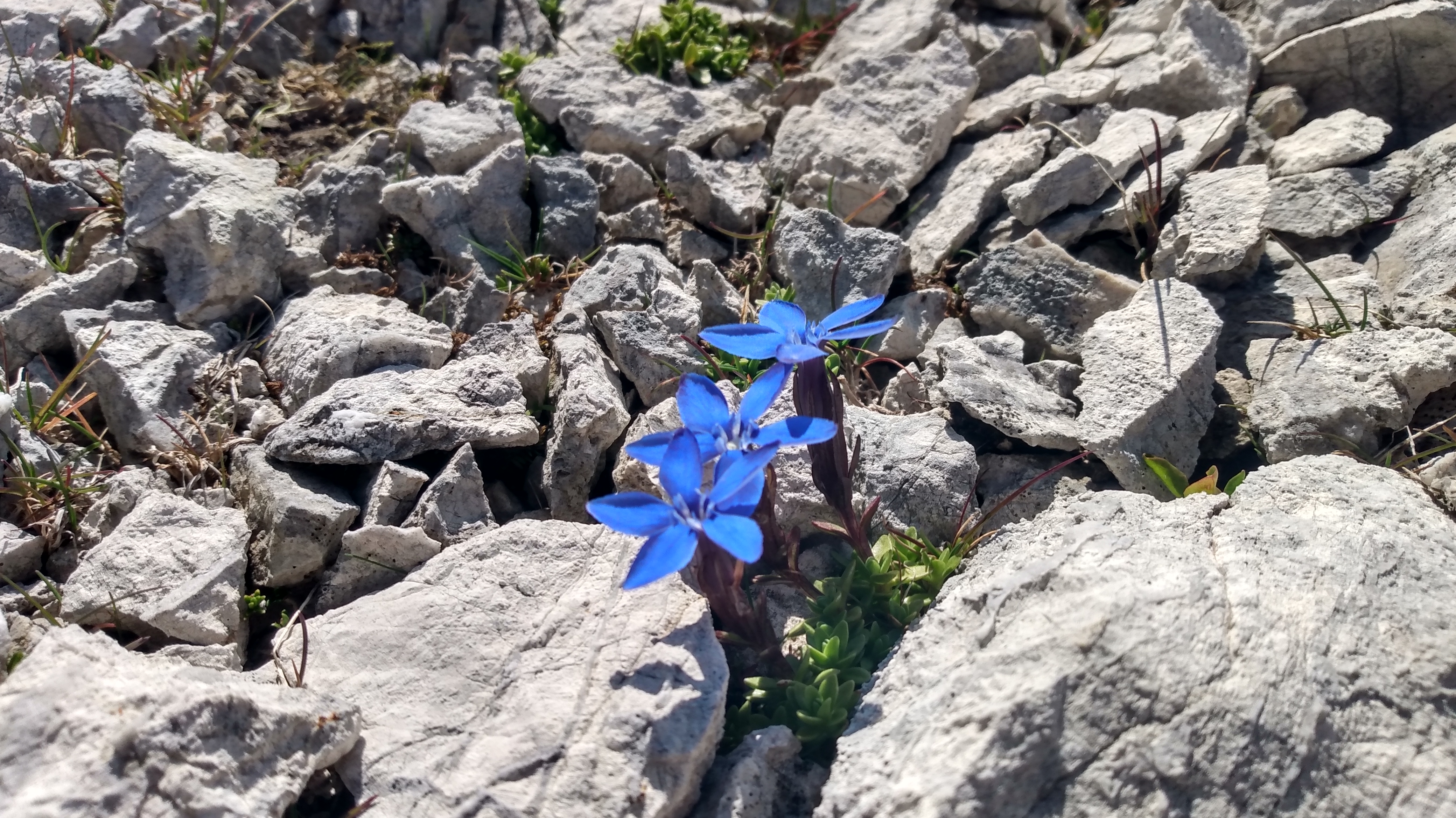
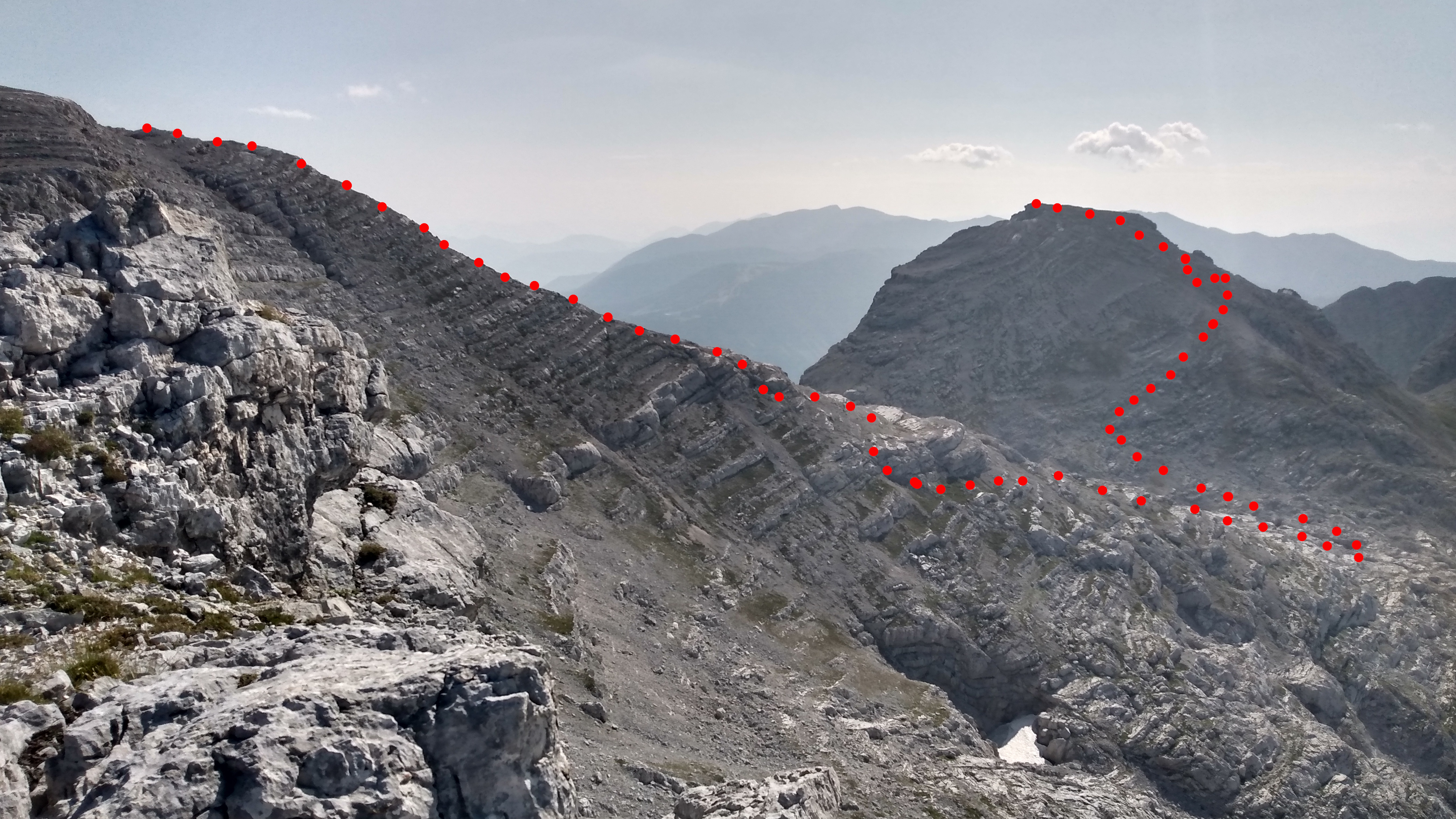
The karst landscape. Some stone cairns still show the way
In the morning sunlight
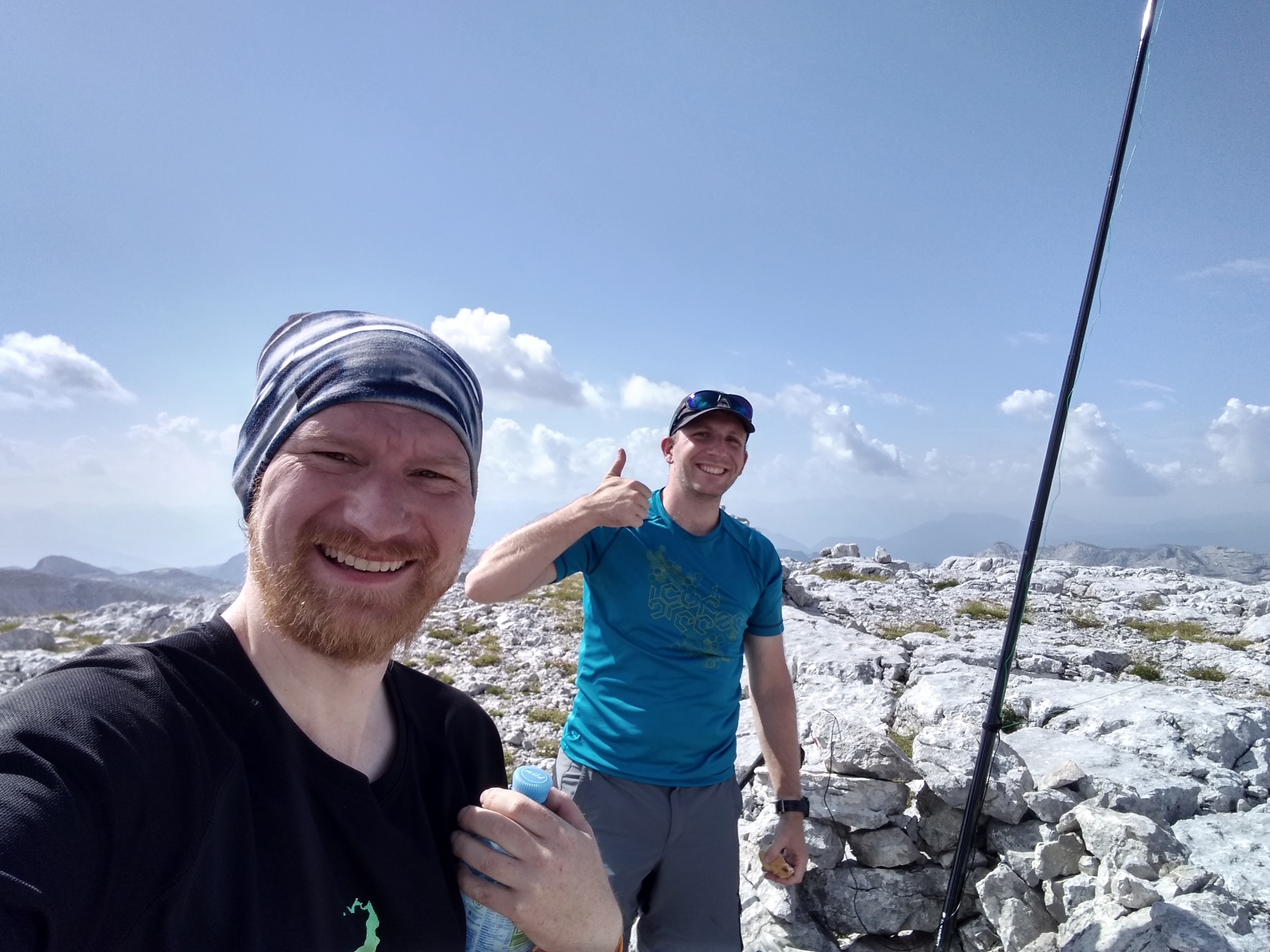
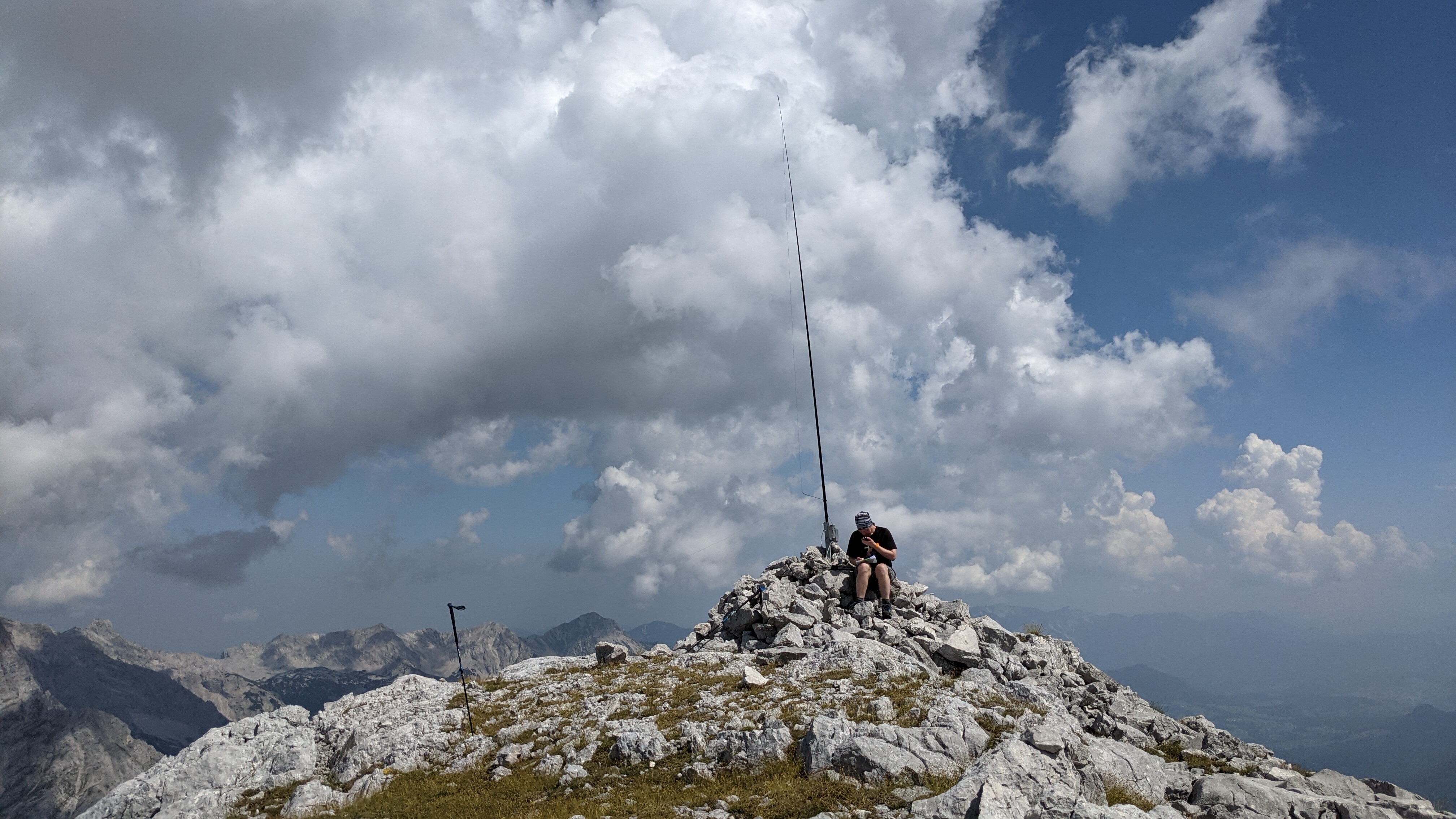
First summit OE/OO-388 Großer Hochkasten, 2389m, reached after 3,5 h
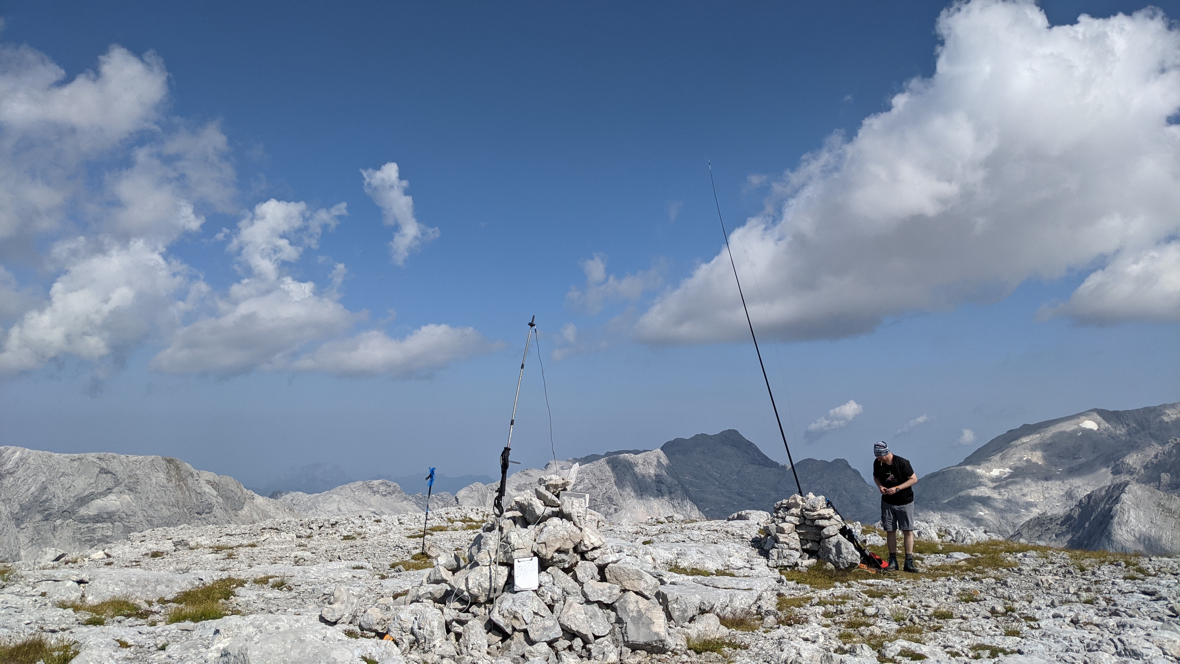
Setting up for HF and VHF
Traverse over to Kleiner Hochkasten
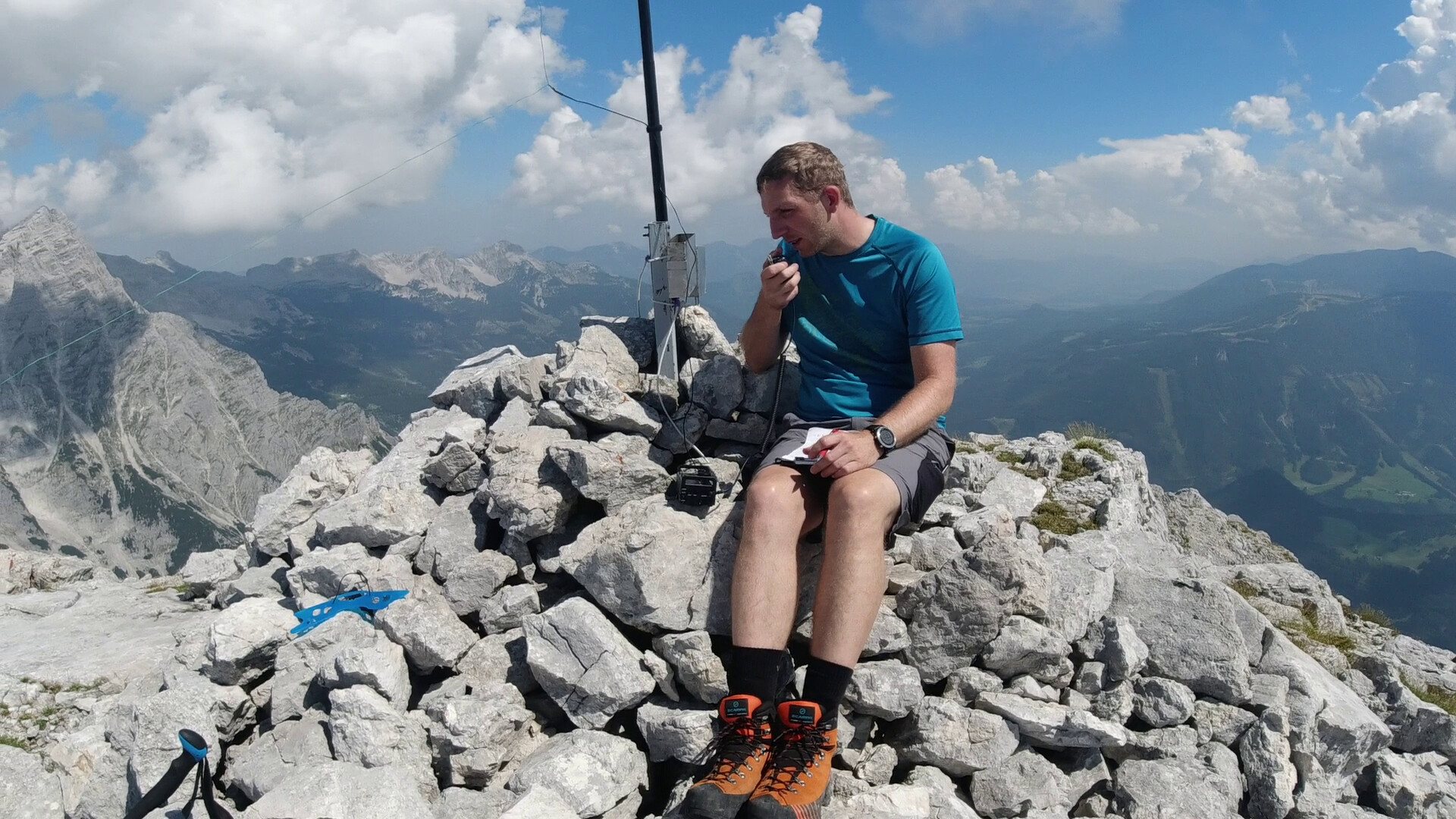
Activation of OE/OO-441 Kleiner Hochkasten, 2352m, reached after 5,5 h
Daniel with KX2 working the pile-up
Stats:
OE/OO-388
42 QSO , with 9 S2S
OE/OO-441
52 QSO , also with 9 S2S
all on 2m FM and 20m SSB
Thanks to the OE chasers and activators that were celebrating with us on the summit over radio.
Day 1: 12,5 km, 1050 m ascent, 5h 30 min incl. breaks
Day 2: 24,5 km, ~ 1350 m ascent (my watch ran out of battery), 14,5 h including activations and breaks and of course all the way down… ![]()
Btw. GPX Track is on SOTAmaps
And watch the video till the end. You can see how incredibly lucky we have been.
Big thanks goes to Daniel for his great preparation work and teamwork. A dayhike to place the water stash ![]()
![]() was priceless for the second day.
was priceless for the second day.
We did both lead at times thru the barren karst landscape to find the best route and always kept the motivation up.
But the elefant in the room is… what is next ![]()
In the S2S QSO with Gilbert OE2GXL I got the tip that OE/SB still has a lot of potential hi
Same goes for Styria OE/ST. So it is not getting boring.
Hope to hear you all soon.
73 Joe
P.S.: Daniel will hopefully add more infos from his point of view.
