VHF and UHF on the Isle of Arran and some SS summits

In the middle of May, we (M6BWA and M0JLA) drove up from the Welsh borders to Ardrossan for the ferry to Arran with an overnight south of Glasgow. Booked on the Monday lunchtime ferry we admired the fabulous outline of Arran on the horizon. We knew that their fortnight of good weather was due to end in 24 hours and we would not have time to activate Goatfell and check into our accommodation – and that was before the port ramp stuck and we were watching the cars being loaded for the return journey before they found a way of getting us down to ground level!!

Wanting a quickish summit (‘Arran does not do easy summits’ was a quote from M3ZCB and we found no reason to disagree) we drove north towards Lochranza and parked in Glen Chalmadale to

ascend SI-093 Fionn Bhealach on the path over to Laggan. The route up the spur was pathless and rougher than expected but the contacts were easy and rapid and included Victor (GI4ONL) so the signal from my dipole was getting out.

As expected, the rain came in the next day but we ran for the Lamlash ferry to Holy Island (we had been unable to make any contact to find the times) and were the only day visitors but, luckily, a party had to be collected from the island so the boat was running.

The island is owned by a Tibetan Buddhist community and all visitors are briefed on arrival and asked to keep to the designated paths. We knew that, owing to the tides and other commitments the only ferry back was at 1400 so we only had a very limited time – especially if we wished to remain dry. We scampered up the ridge path and reached a strong candidate for the best dressed British trig point award as SI-143 Mullach Mor was festooned with prayer flags. Using my usual dipole, 12 contacts were logged in 30 minutes (including 5 70cm) and my signal had reached Bangor (N Ireland), Girvan, Carluke and Kilmarnock. I wanted to complete the tour of the island so we headed north down to the shore, past the retreat house and along the eastern track at a high speed as the rain was already at Lamlash and 1400 was approaching. Pausing only to admire the rock paintings we panted back to the tea house and then had time for tea as the boat was 30 mins late! During the crossing and on arrival the rain was bucketing down so we knew we had been on a truly Holy Island.

To be continued (This is an expanded version of the brief report in the August SOTA News)

Viki M6BWA

4 Likes

The Wednesday forecast was better so we drove round (max advised speed 30mph) to Pirnmill on the west coat and parked outside the Lighthouse Restaurant (closed Mondays and 4 –5pm but you must visit!) on the seashore. Following the north bank of the stream we hoped that the cloud would lift off SI-027 Mullach Buidhe where we were aiming to be only the second SOTA expedition (and the first 70cm!)

Crossing the stream below the dam we aimed across the almost dry bog for the easier western spur as I have no head for heights. It was a long slog up the spur especially as we were deep in cloud which never lifted for the whole trip. We passed the boulders on Beinn Bahrain and reached the cheerless trig pt at 721m where Gerald GM4OIG was waiting for us on Speinne Mor, Isle of Mull with a 41/52 report on 70cm! The takeoff meant I reached the Isle of Man (just), Bangor and Co Down, Maryport and as far as Stirling. We retraced our steps and were first diners at the restaurant. Despite the ‘road closed’ sign on the String Road (re surfacing) it was open which saved a long detour round the South of the Island and a glimpse of a rather unusual posting box.

Thursday lived up to its wet forecast so Brodick Castle and Gardens were visited amongst the showers and the Himalayan poppies (Meconopsis)were splendid. With only one more full day and everything sodden I suggested, on Friday 20 May, another drive past Lochranza castle to the
west Coast (and the restaurant) for Friday to ascend SI-046 Beinn Bhreac from Glen Catacol, rather than the shorter route from the Lochranza distillery, as it was the prettier route and boasted a rowan/whitebeam nature reserve. Leaving the car park and crossing to the north bank of the river we walked up the stream and took the left fork to Glen Diomhan and the nature reserve with a scattering of important (unique?) trees. Soon after we were ascending the steep boulder strewn/high heather (not my favourite terrain) slopes of Beinn Bhreac 576m (you work for your 2 points in Scotland). Here we could look over to the fantastic ridges of Caisteal Abhail, Cir Mhor and Ben Tarsuinn. Fortunately we quickly took some pictures then set to work to erect the antennae and get contacts rather quickly and this view had gone within 20 mins as the threatened cloud descended on the high summits. Another GM4OIG S2S on Beinn na Duatharach, Isle of Mull (GM/SI-085 70cm 31/52) was in the list of 12 contacts in 50 mins – not as impressive as 2 days earlier but a lower summit and the high ridge of Arran was cutting off contacts to the east but no problem to GI, Port Glasgow and Girvan. We retraced our steps, admiring the steep face of SI-052 Meall nan Damh and our route down Glen Catacol on the right. We had to hurry near the end as the rain was arriving but reached the car almost dry. I then visited the famous Machrie stone circles near Tolmore and found the sight of the tall standing stones and the 5 different stone circles and other tombs well worth the rather boring sodden walk there and back.

more to follow…

4 Likes

Many thanks for the report and the photos. I was very pleased to make the S2S contacts Viki, especially those on 70cm as all I had with me was the 2m Moxon. The take off in your direction was fine on the Wednesday from Spienne Mor GM/SI-091, but that from Beinn na Duatharach GM/SI-085 was partially obstructed by higher hills.

The lump of the left is Beinn Talaidh GM/SI-017 - I was pleased you weren’t behind that!

73, Gerald G4OIG

2 Likes

Sorry I got the reference wrong for your hill on our second S2S, now corrected I hope. Beinn Talaidh certainly was a lot higher than we were - but you were fortunate to be able to see what was in the way. On the previous S2S, Mullach Buidhe GM/SI-027 I wasn’t actually aware of any potential obstacles between us …


other than the wind which was resisting any attempts to get the dipole vertical. It had also, obviously, been having a go at the trig point for some years!

73 Viki M6BWA

2 Likes

Hmmm yes, perhaps not the best summit for a long activation… :wink:

This is what I could see from my end in your direction.

We even had sun and later on the fish and chips from the van on the pier in Tobermoray rounded off a most pleasant day. I can certainly recommend a trip to Mull. :smile:

73, Gerald G4OIG

1 Like

Thanks for the reports: it looks like you had about as good weather on Arran as we had on our visit (i.e. not very good!), and mostly did different summits from us. We would like to visit again and to visit Holy Island, but want to try to schedule better weather.

Caroline M3ZCB.

Hi,
Interesting countryside. Well done on activating on VHF and UHF. Seems like a brave move as many peaks there might block the paths to other stations. The photos convey the mood on the peaks admirably. Thanks.

Ron

The third and last installment (sorry about the delay - visiting too many Welsh hills!)

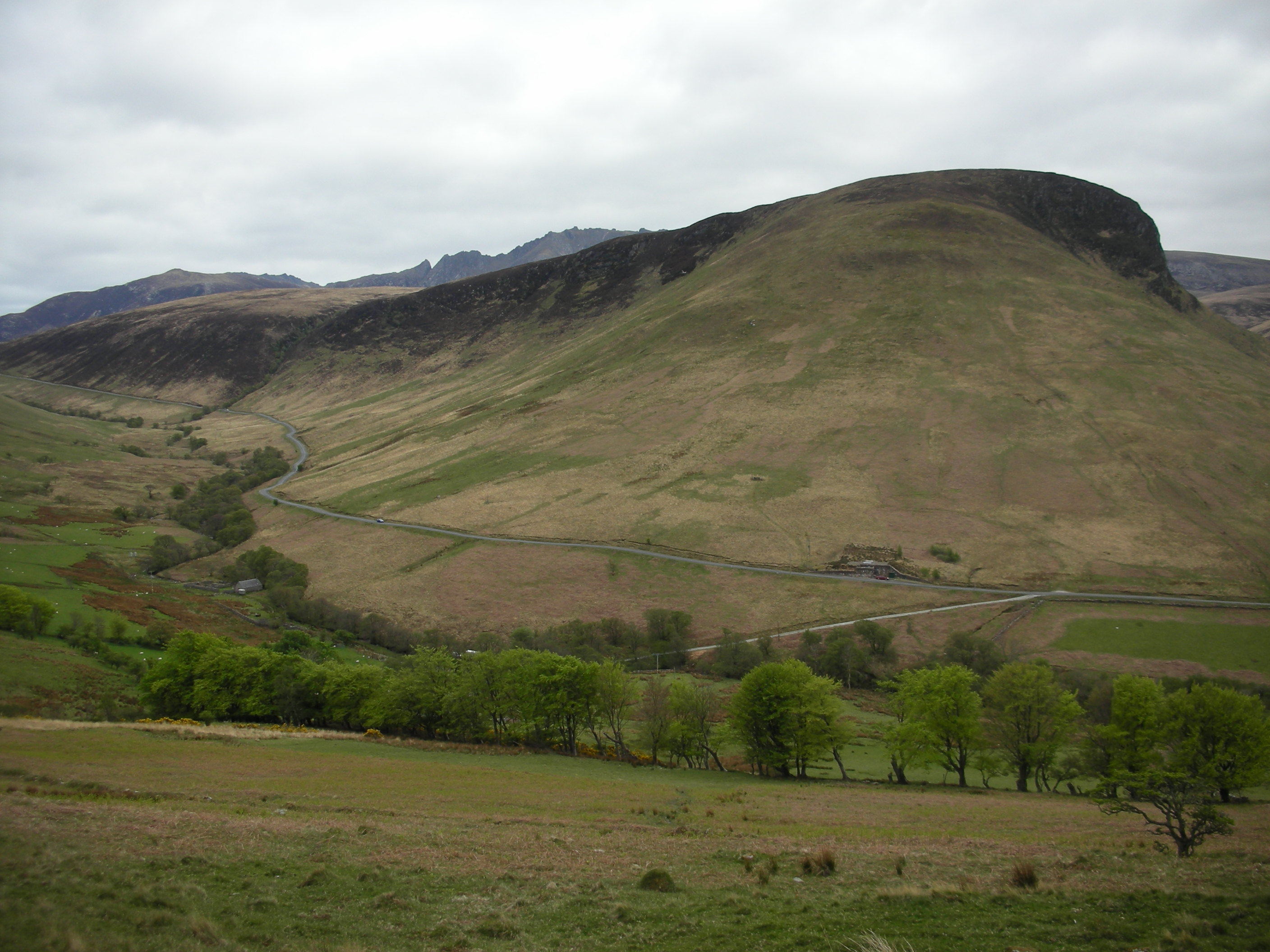
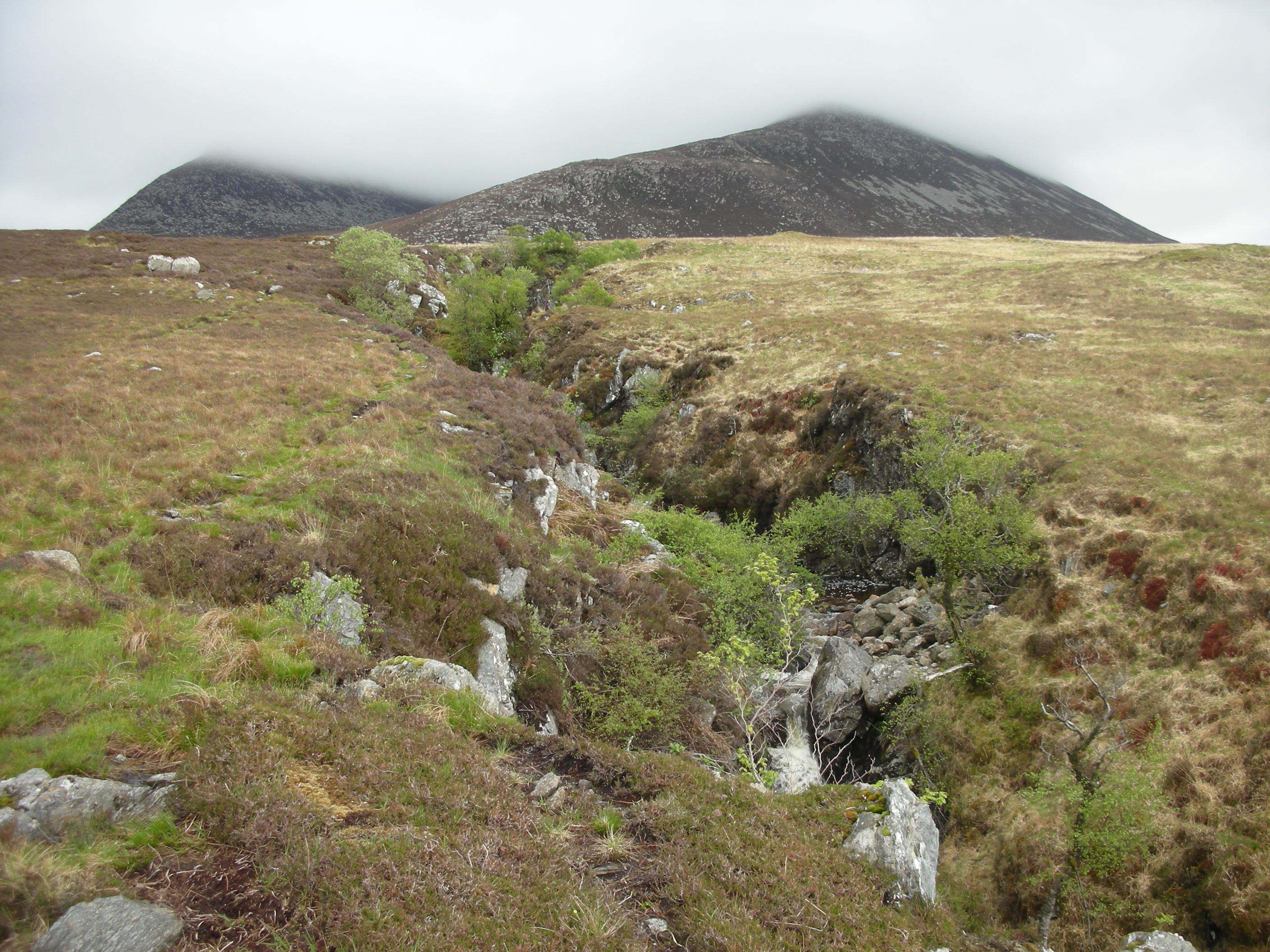
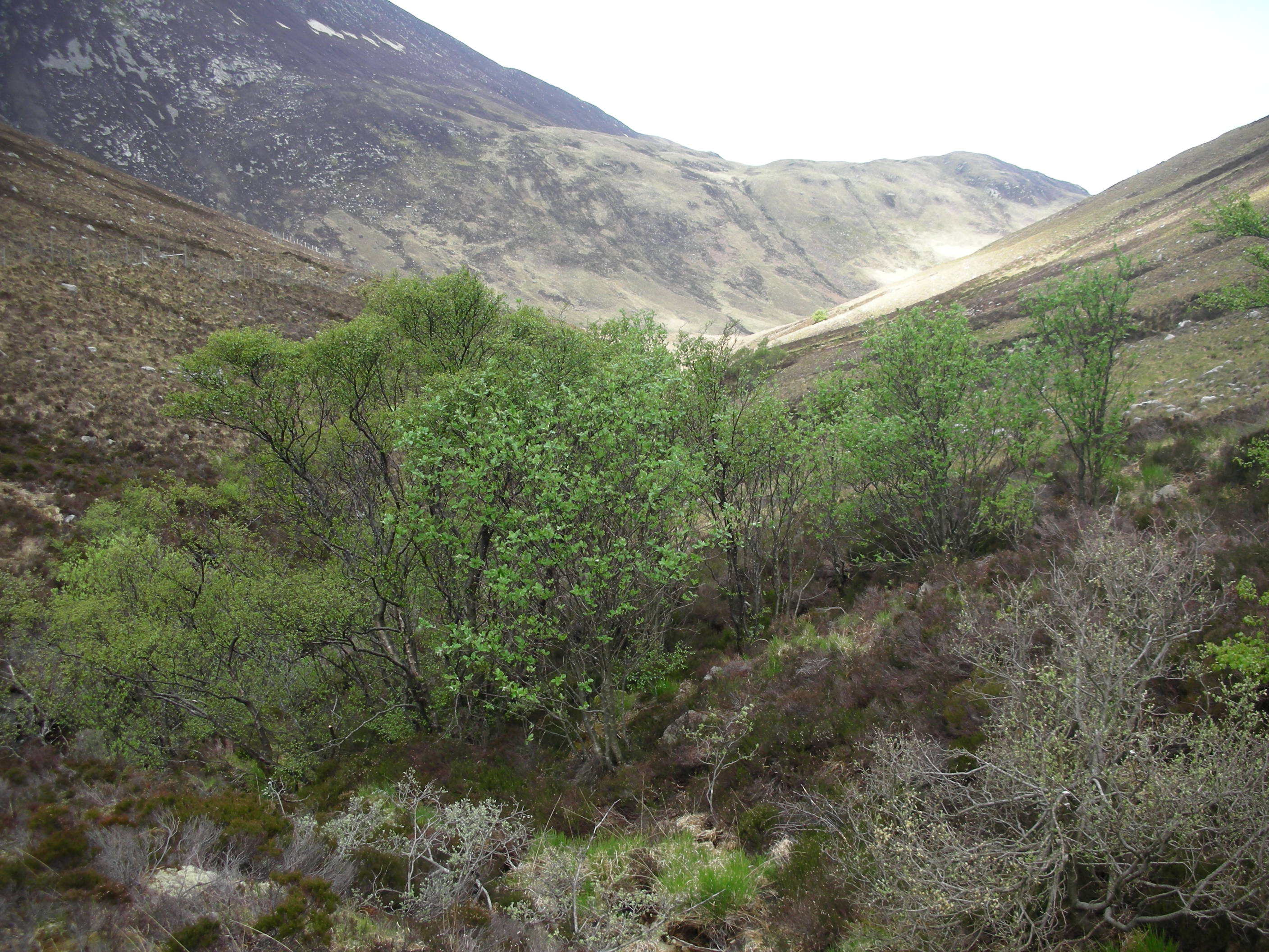
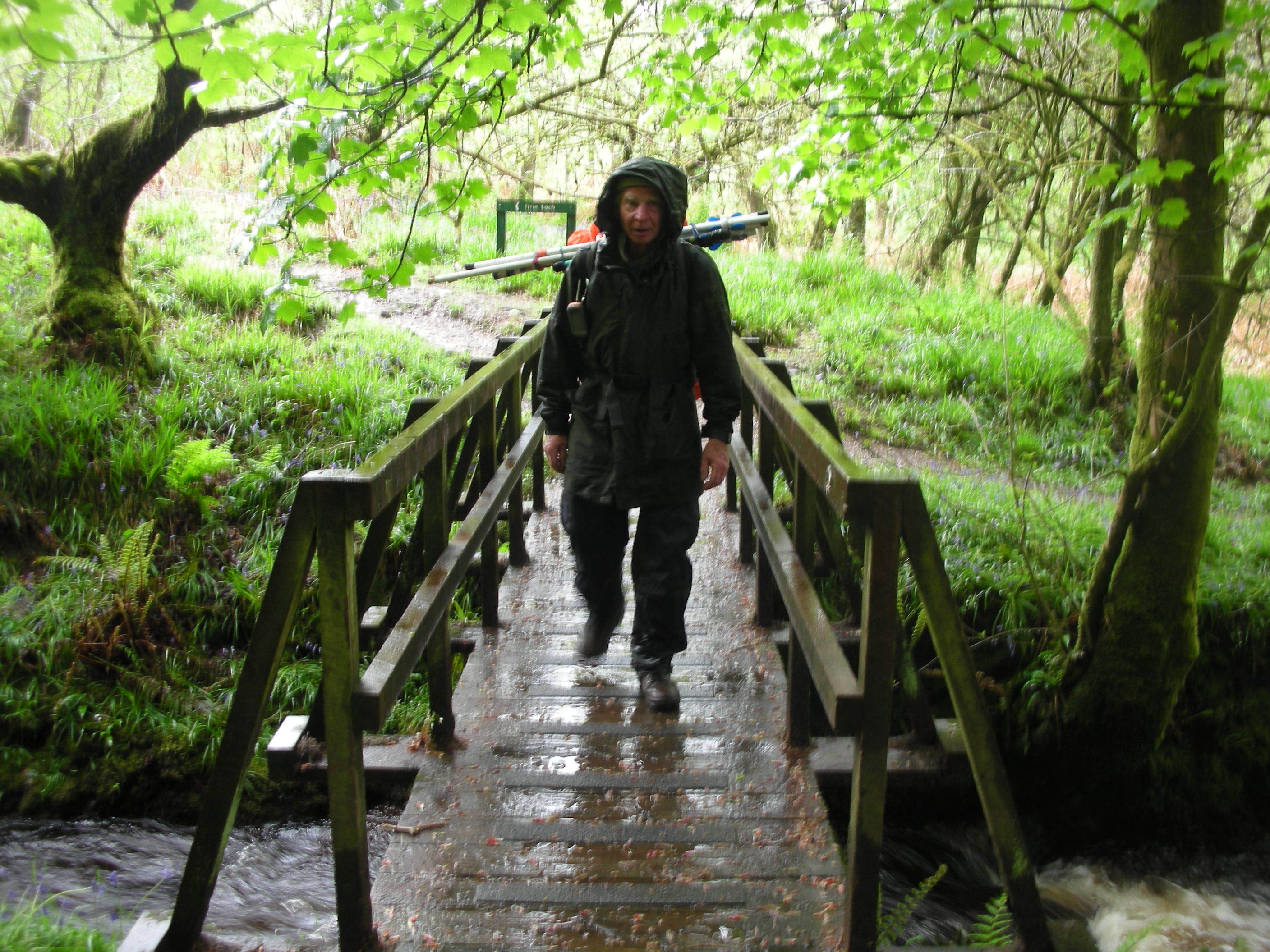
The late ferry on Saturday from Arran had been chosen to give us a chance for an ascent if we were getting desperate by then…! I longed to get up Goatfell but the forecast was bad again… and it was fell race day so I would have been knocked down in the rush. Hence it was south to Lamlash and the Ross Road for the forest car park and the doubtful delights of SI-084 Tighvein which lived up to its description. Once we found the right route out of the car park we followed the signs to Urie Loch on the forest tracks and narrow slippery path, with the occasional view the coastline and Holy Island.


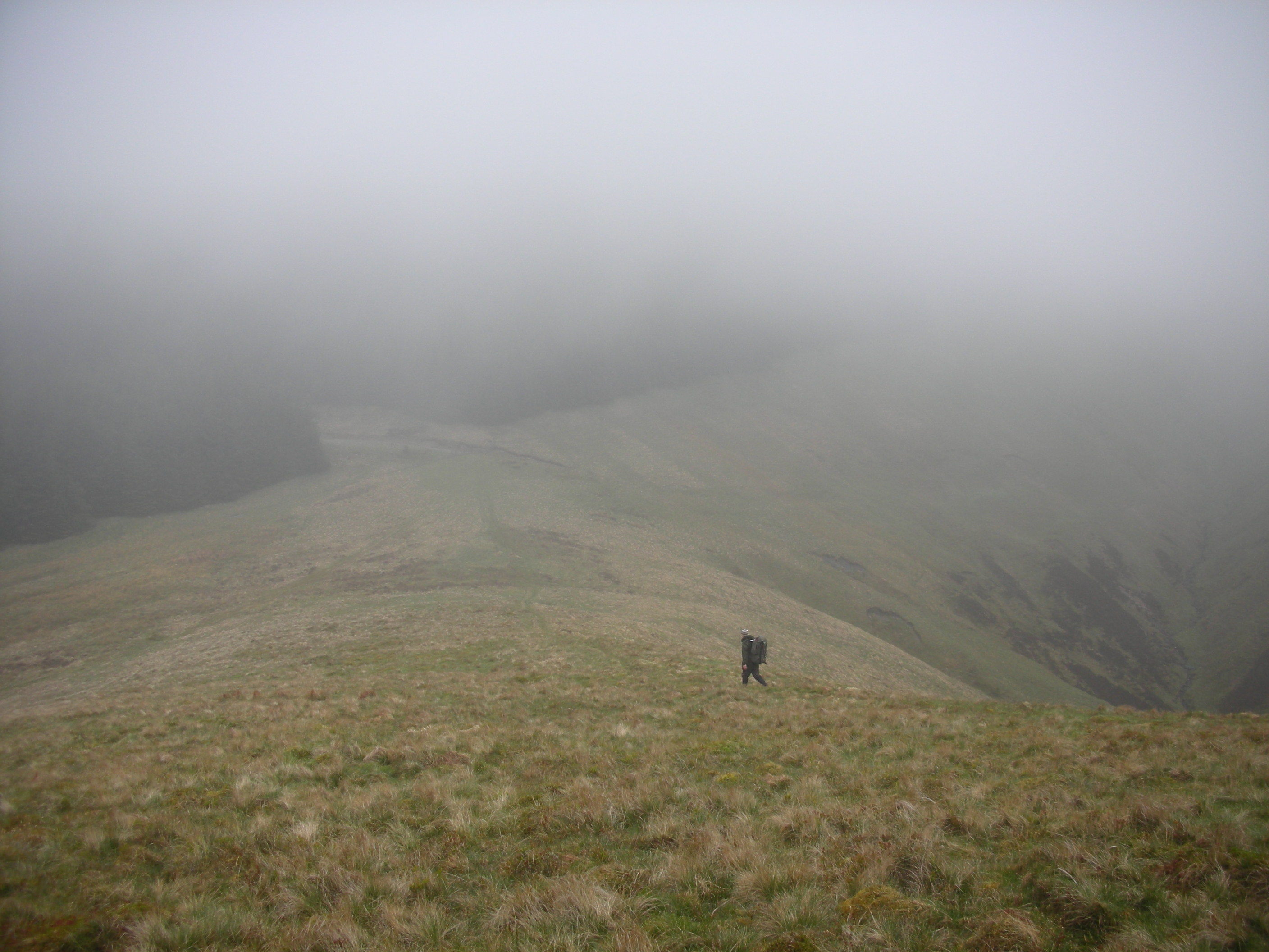
On reaching Urie Loch, it was round to the south (we had read the SOTA descriptions) and then we started yomping over hillock after hillock as the heather got higher and the summit not glimpsed although Ailsa Craig was visible. 
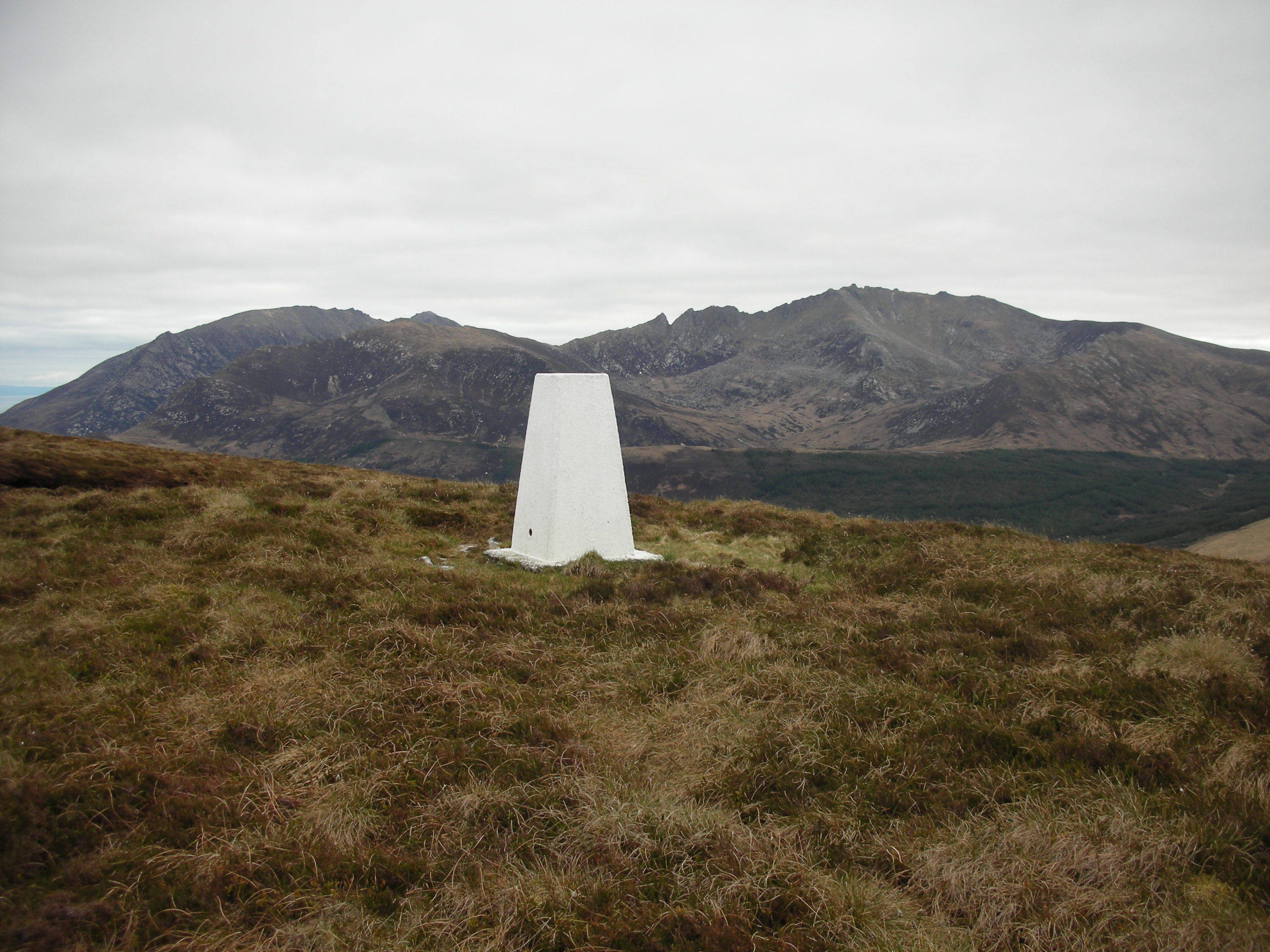
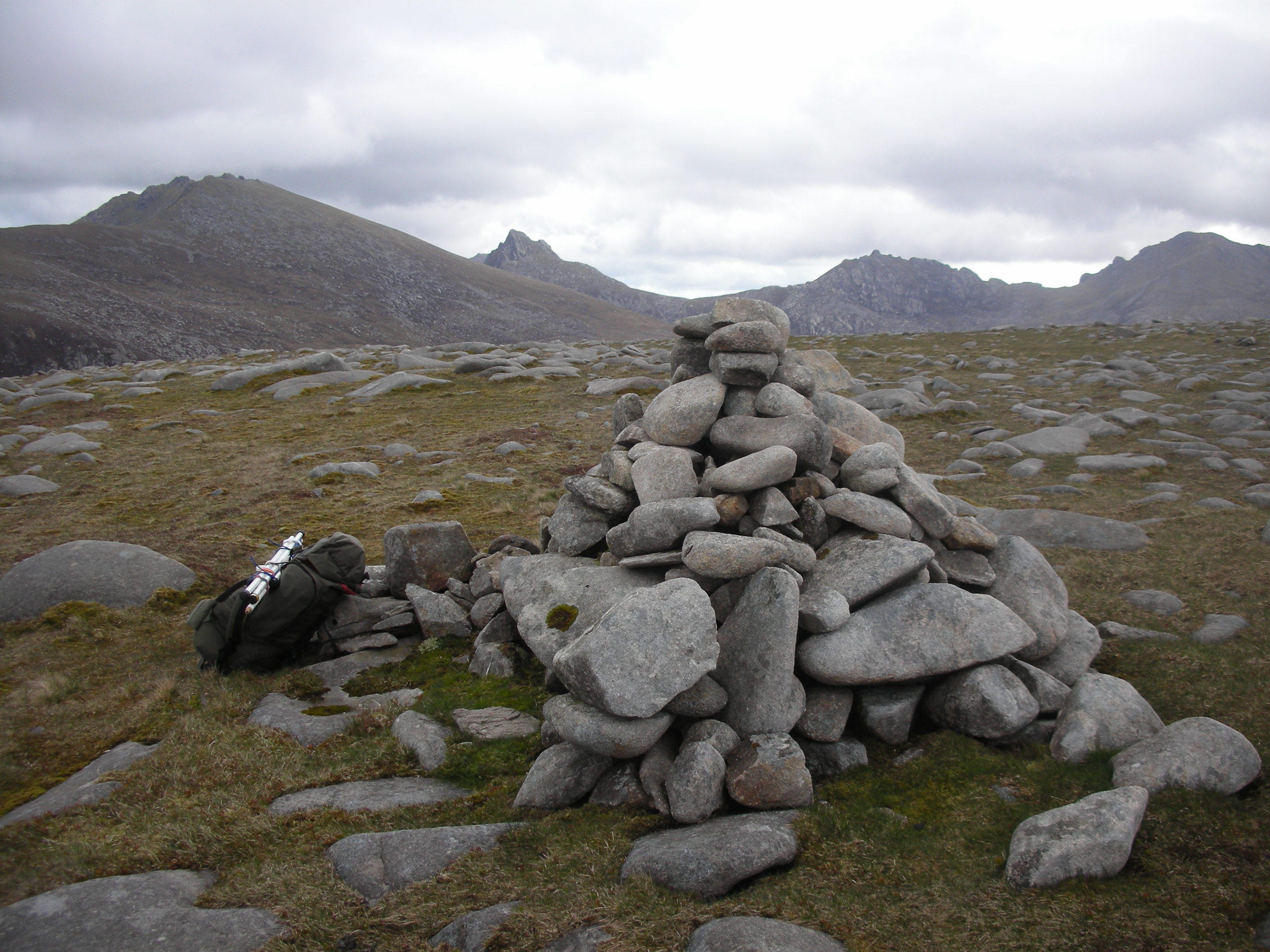
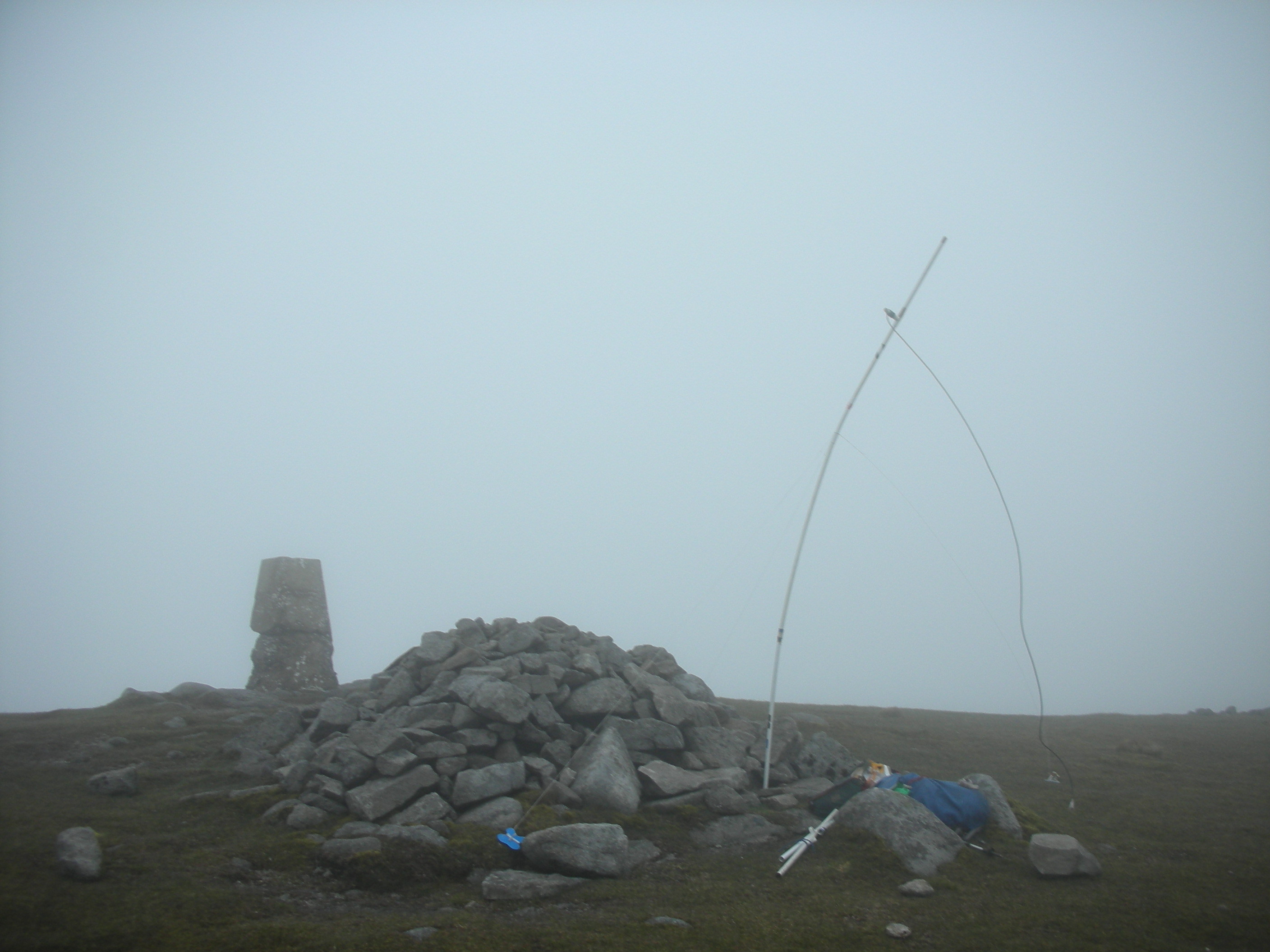
Eventually the GPS assisted us to the trig point at 458m, which was a relief as we were conscious that the time available was running out. Fifteen contacts, including 3 NI (1x70cm) and coastal Scotland in 50 mins was a bit slow but it is only a low summit. However the mention of ‘Arran’ in the CQ did seem to pull in the curious. Most of my contacts were not dedicated SOTA chasers and had no clue where ‘Tighvein’ might be situated (especially with my pronunciation!!) We found a quicker route, mercifully, down to the loch and scampered round and down the path but were caught by the deluge before reaching the trees. We both slipped in the wet conditions but eventually were back at the car with 30 mins to spare. 
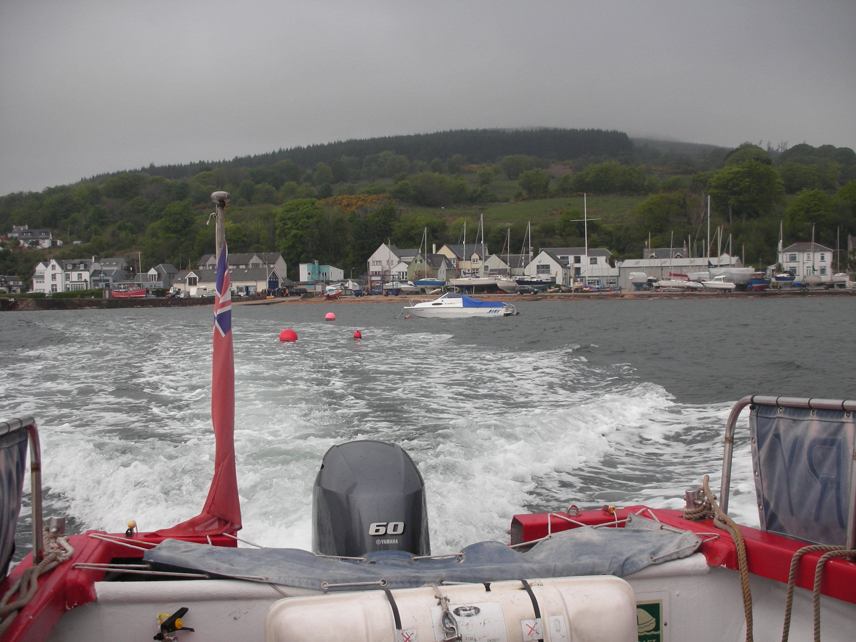
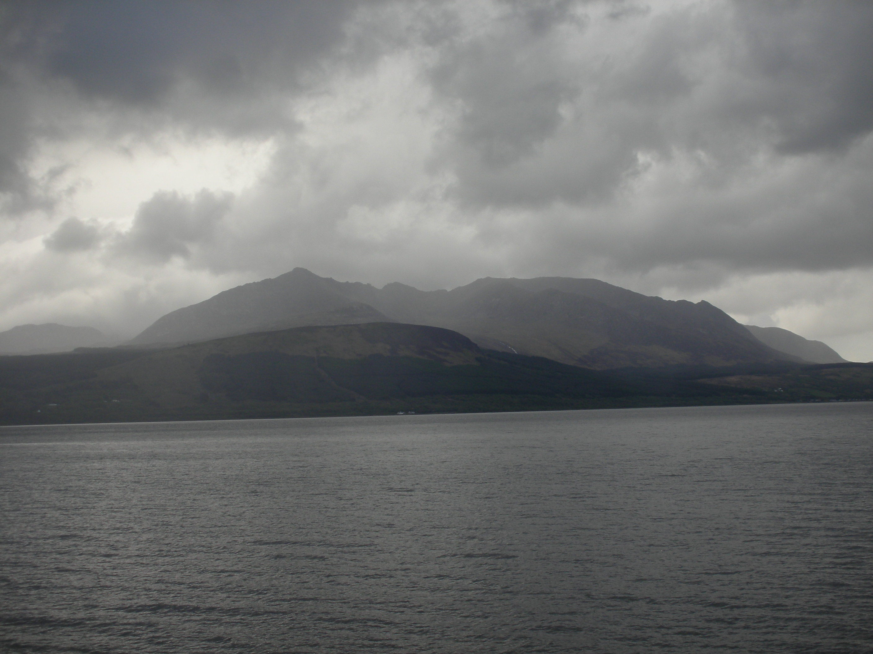
This gave chance for a brief sunbathe (!) on Brodick seafront before boarding the ferry and watching the view of the glorious skyline disappear as another bout of rain reached us. Goatfell, Beinn Tarsuinn and some of the other smaller hills remain on my ‘to do’ list although I know the other big ones are out of my league.

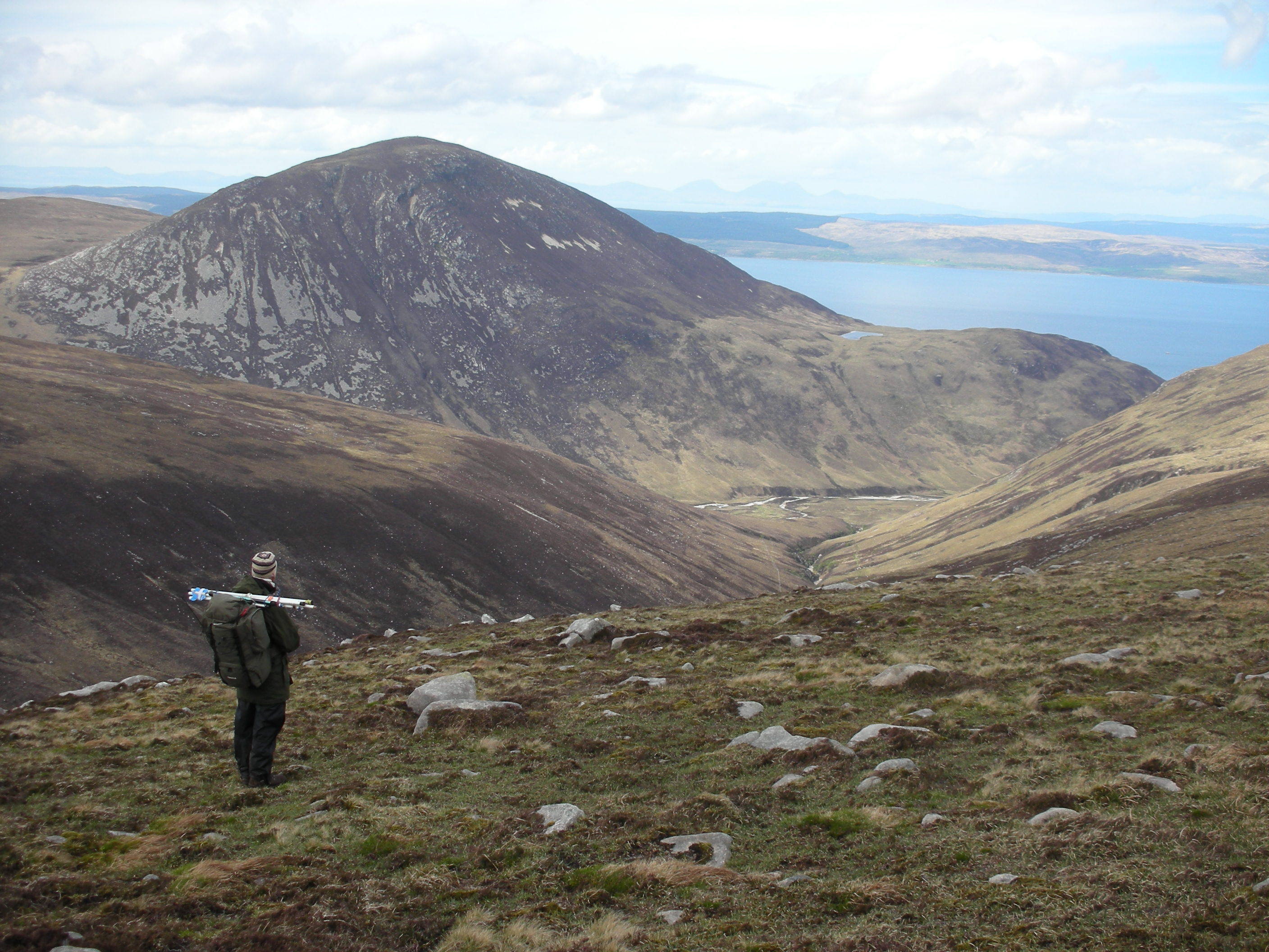
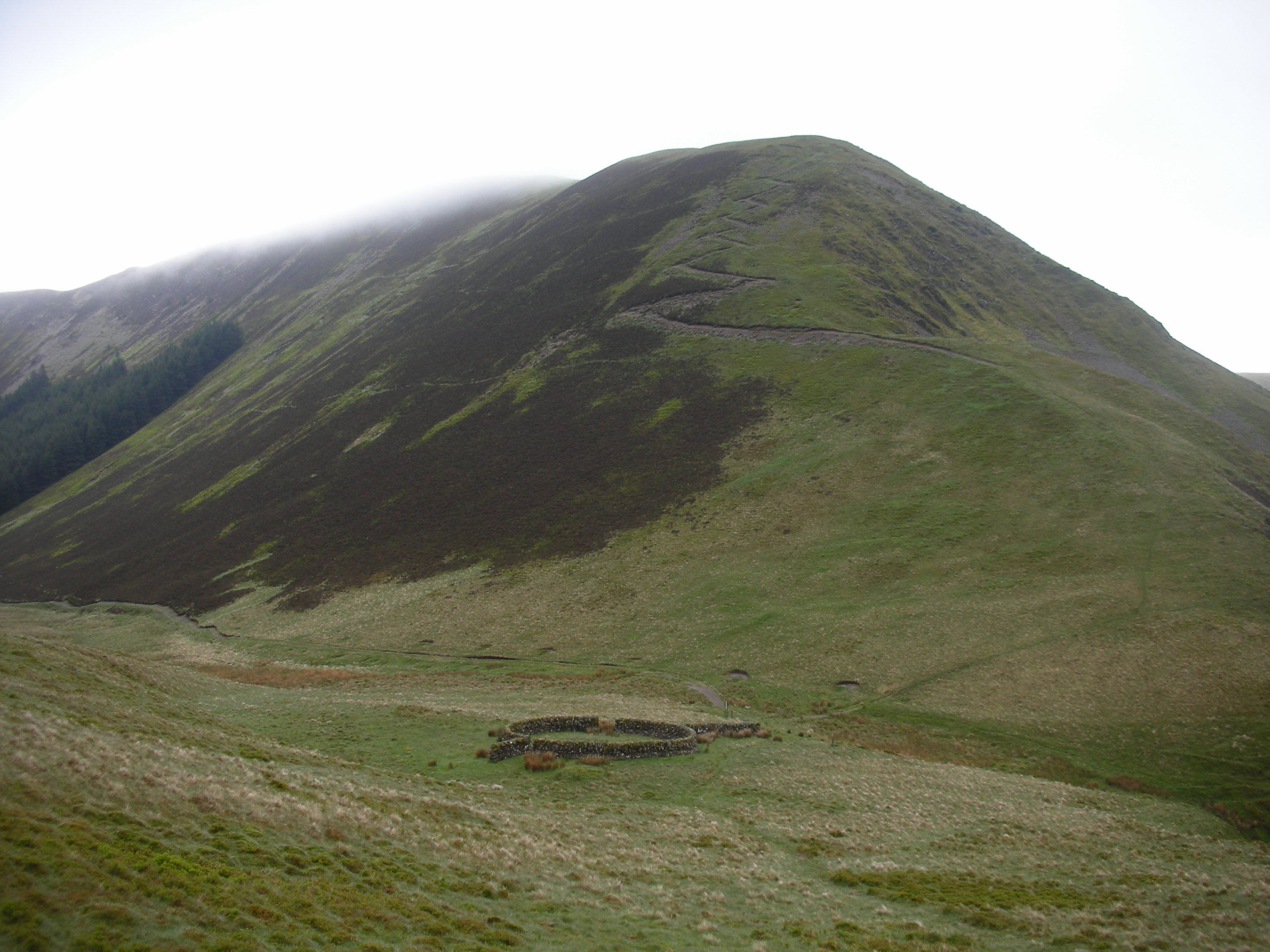
It was then a drive to outside Moffat where our small ‘cottage’ turned out to be situated at the top of the garden and the owners were amazed how many boxes and bags we were transferring as we all toiled up and down. Other SOTA activators will understand the chargers, spare radio bits and outdoor gear that is involved- so not all of it was my clothing!! We concentrated on those summits that were within easy driving distance, 2 points or higher to give me a chance on 2m/70cm and weren’t too steep as the knees were starting to complain! For the final 4 nights we moved to north of Biggar and visited Tinto which had long been on the list (but was beaten by Culter Hill for me, in the number of contacts and the quality of the walk!)

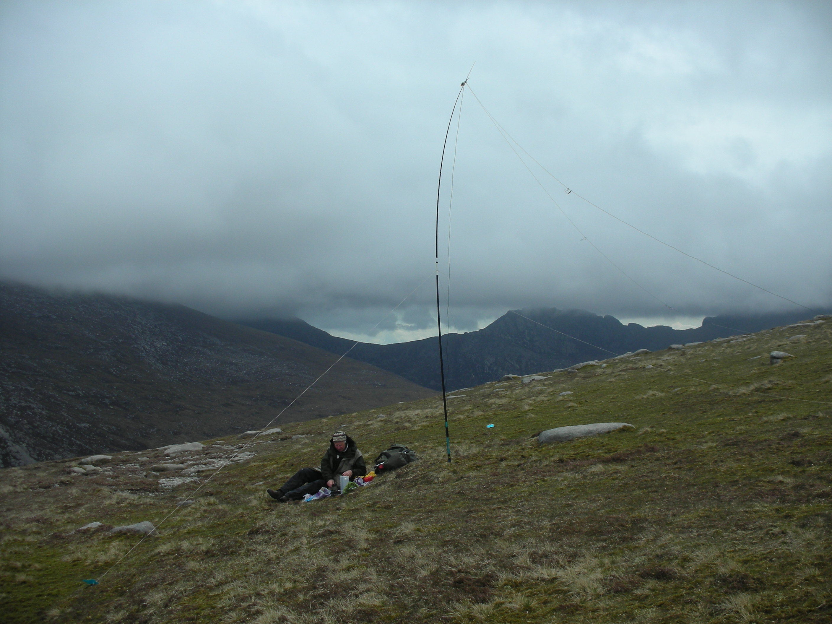
I was using a VX-7R (max 5w) with Sotabeam dual band dipole on Arran although I had been trying out 2m on a J-pole at home. Both rigs went up the first SS summits, as I thought the J-pole would not work on 70cm, but on Hart Fell (SS-037) an instant S2S with G1ZJQ on G/SB-008 on both bands so surprised me that I forgot to change aerials. (BTW I only had one set of guys so the dipole was supported only by the stone wall).


I then realised the 70cm contact had been on the J-pole with no problems. From then onwards only the J-pole was carried and I think the extra height was a great help on the smaller hills. The disadvantage is the extra time taken to erect and dismantle and I am not sure that my rather weak hands will be able to dismantle the fishing pole in cold weather.

The statistics below showed that I managed 4 different callsigns on 2m on all of the hills (although sometimes it was a lot of hard work!) but on 70cm I drew a complete blank on SS-140 and didn’t qualify SS-170 and 208 (both 1 pointers) – or G/LD-046 on the drive up!. On occasions I made a few contacts on 40m (thanks to M0JLA and the patient chasers) to ensure that I would qualify the hill but this turned out not to be necessary. I managed more contacts into the Lake District than I expected with repeated contacts with 2E0MIX (Derek, Whitehaven), G4WHA (Geoff, Penrith), G1GDB (Derek, Cockermouth) and G4VFL (Andrew, Egremont) – on 70cm with the first three. I gained a loyal band of local chasers, some of whom had to read the manual (shock, horror), or erect a new aerial to talk to me on 70cm but who seemed to relish the challenge. Particular thanks to GM8FHK, GM4COX, 2M0ROT, GM0FSZ, MM0DNX, GM4SQM, MM3OJE and MM3HQC.

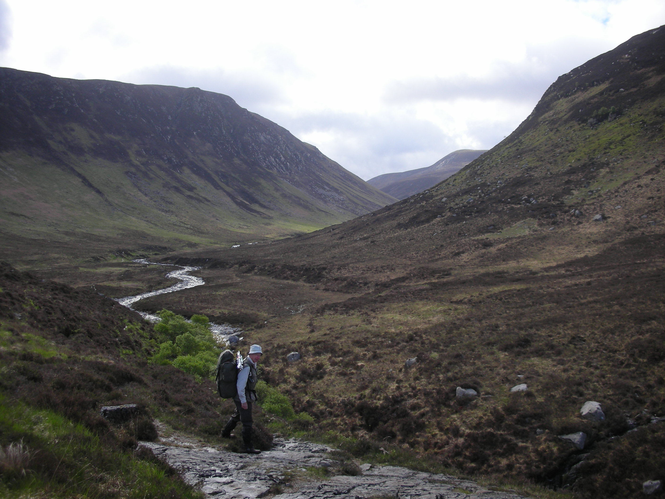
It was a surprise to talk to GW4ZPL from SS-082 Capel Fell (41 but we were in cloud and rain before even reaching the forest) and SS-100 Croft Head (52 in the dry).

Croft Head now has an excellent new zigzag path (Southern Uplands Way alternative route) up the eastern spur above the Selcoth Burn. From each of these summits I also made a Welsh S2S - with MW0YDH on Manod Mawr (NW-035) and MW0XMC on Snowdon (NW-001) respectively! I was also told later by GM8FHK (John in Carluke) that my 2m signal was bouncing off the local aircraft and reaching him intermittently – but not for long enough to make a contact! My thanks to M0JLA and all those who talked to me and helped me in my struggles to gain sufficient contacts. I got the impression that XYL SOTA activators were not often encountered in GM-land and, on discovering how many extra contours we had to go up to activate a 2 pointer (or higher), I could quite see why!

Activations – in date order
(all contacts are GM unless otherwise mentioned)

Isle of Arran
SI-093 Fionn Bhealach 10 2m, 5 70cm: GI 1
S1-143 Mullach Mor 7 2m, 5 70cm: GI 1
SI-027 Mullach Buidhe 12 2m, 6 70cm: GI 2, G 1, GD 1, 70cm GI 1, S2S 1
SI-046 Beinn Bhreac 7 2m, 5 70cm: GI 1, S2S 1
SI-084 Tighvein 9 2m, 6 70cm: GI 3, 70cm GI 1

Southern Scotland (based at Moffat and near Biggar)
SS-029 Broad Law 7 2m, 4 70cm: GI 1, G 2, GD 1, 70cm GI 1, G 1
SS-122 The Wiss 4 2m, 4 70cm: G 2, 70cm G 2
SS-037 Hart Fell 6 2m, 6 70cm: G 4, 70cm G 4, S2S 3
SS-140 Turner Cleuch Law 4 2m, Nil 70cm!: G 2 70cm not activated
SS-074 Ettrick Pen 8 2m, 5 70cm: G 4, 70cm G 3
SS-082 Capel Fell 5 2m, 4 70cm: G 3, GW 2, 70cm G 2
SS-100 Croft Head 7 2m, 4 70cm: G 4, GW 2, 70cm G 3, S2S 1
SS-131 Hods Hill 5 2m, 5 70cm: G 1, S2S 1
SS-172 Lamington Fell 6 2m, 2 70cm: all GM 70cm not qualified
SS-049 Culter Fell 15 2m, 9 70cm: G 4, 70cm G 3, S2S 1
SS-158 Black Mount 5 2m, 4 70cm: all GM
SS-064 Tinto 12 2m, 7 70cm: G 3, 70cm G 1, S2S 1
SS-208 White Meldon 5 2m, 1 70cm: all GM 70cm not qualified

and we also activated
LD-046 Lambrigg Fell 5 2m, 1 70cm: all G 70cm not qualified
LD-052 Hutton Roof Crag 8 2m, 5 70cm: GW 1, 70cm GW 1

Total Scottish contacts 218: 135 2m, 83 70cm (plus 10 on 40m)
(My apologies for the wonky table but my attempts at tabs or spacing don’t seem to be appear correctly on the screen! See below for a much better effort thanks to FMF!)

Viki M6BWA

2 Likes

Tee hee, “new” is relative, it’s 12 if not 14 years old now that path! But it’s makes getting up and down Cat Shoulder so very much easier.

Tell me about it, my drive tomorrow is 4.5 hrs + 1 ferry. Mrs. FMF said when she saw the growing mountain of gear “it’s just as well you have a large vehicle and only you are going!”. But if you think about it, you go all the way specifically to play radio whilst out walking. There’s no point having a spare charger at home if the one you take with you fails. Then you can’t do what you set out to do. As long as the spares fit in the car then it’s not really daft taking them. It’s when all the swag is piled up in the hall that it looks daft… small bag of clothes, big bag of walking clothes, huge boxes of radio stuff! :slight_smile: At least I’m only taking 1 laptop on this trip!

Culter Fell is a much better walk in my opinion too. Tinto is so very prominent and is so easy to get to which is why it’s so very popular. But it’s a bit of boring trudge along the trench to the summit. If you take Culter Fell by suprise from the rear rather than the front (reservoir side) it’s even better. White Meldon is a bit of gem too.

Easy to fix. Prepare your table of data in another editor then paste it into the reflector. The spacing will be lost. On the line above your pasted text type 3 backquotes (that’s the key left of the number 1 on a UK keyboard) and then press return. Then go to the end of your pasted text and type 3 more backquotes on a line on their own. Magically, your formatting will return. Simples!

Glad you had fun. :rainbow: With a bit more planning, you can avoid Monsoon season next time you visit! :rainbow:

Have you ever looked at the French points banding? In la belle France Ben Nevis would be worth 2 points!

Brian

Hi Viki

Thanks for another wonderful report and supporting pics especially the one of the wet little green giant :slight_smile:

Also, thanks to you and Rod for all those hilarious s2s yesterday as well as the other chasers that enabled Gerald and I to qualify some of the summits on 2m…blog up in a few days.

73 Allan

Isle of Arran
SI-093  Fionn Bhealach		10 2m,	5 70cm:	GI 1
S1-143  Mullach Mor		7 2m,	5 70cm:	GI 1
SI-027  Mullach Buidhe		12 2m,	6 70cm:	GI 2, G 1, GD 1, 70cm GI 1, S2S 1
SI-046  Beinn Bhreac		7 2m,	5 70cm:	GI 1, S2S 1
SI-084  Tighvein		9 2m,	6 70cm:	GI 3, 70cm GI 1

SS-029  Broad Law		7 2m,	4 70cm:	GI 1, G 2, GD 1, 70cm GI 1,  G 1
SS-122  The Wiss		4 2m,	4 70cm:	 G 2, 70cm G 2
SS-037  Hart Fell		6 2m,	6 70cm:	 G 4, 70cm G 4,  S2S 3
SS-140  Turner Cleuch Law	4 2m,	Nil 70cm!:	G 2  70cm not activated
SS-074  Ettrick Pen	 	8 2m,	5 70cm:	G 4, 70cm G 3
SS-082  Capel Fell	 	5 2m,	4 70cm:	G 3, GW 2, 70cm G 2
SS-100 Croft Head		7 2m,	4 70cm:	G 4, GW 2,  70cm G 3, S2S 1
SS-131  Hods Hill	  	5 2m,	5 70cm:	G 1, S2S 1
SS-172  Lamington Fell		6 2m,	2 70cm:	all GM  70cm not qualified
SS-049  Culter Fell		15 2m,	9 70cm:	G 4, 70cm G 3, S2S 1
SS-158  Black Mount		5 2m,	4 70cm:	all GM
SS-064  Tinto	 		12 2m,	7 70cm:	G 3, 70cm G 1, S2S 1
SS-208  White Meldon		5 2m,	1 70cm:	all GM  70cm not qualified

and we also activated
LD-046  Lambrigg Fell		5 2m,	1 70cm:	all G  70cm not qualified
LD-052  Hutton Roof Crag	8 2m,	5 70cm:	GW 1, 70cm GW 1

Total Scottish contacts 218:
135 2m,	83 70cm	 (plus 10 on 40m)

Fourth time lucky?? Obviously not! I give up. Thanks FMF - don’t know what you did but it now makes the table look a lot better.

We found Beinn Tarsuinn quite a challenge (though we did it in poor weather with high winds and much in cloud): a long walk in. We took 10 hours to cover the 11 miles and do the activation :slight_frown:

Caroline M3ZCB.

That is an “ouch”! According to Storer the circuit Caisteal an Fhinn, Beinn Nuis, Beinn Tarsuinn and Beinn a’ Chliabhain via Glen Rosa is 8.5 miles and should take 6.5 hours, you must have had a bit of a battering!

Brian

We were going to look for you on GM/SI-084 (Tighvein) on our way home, but miscalculated the time, assuming that we would still be hidden in the depths of GM around Loch Lomond. We were actually much further south when you were on, so would have had a chance to speak to you car to summit. Mind you, I needed all my wits to drive safely after a strenuous week (lacking pre-trip training due to work commitments), so maybe the mobile rig was best left switched off.

Overall during the week on Mull we managed 10 summits. Originally we had hoped for a total of 14, but revised our schedules after experiencing the first few summits and reassessing our fitness levels. That took the total down a couple of notches and the weather denied us a further two. Must be getting soft in our old age - when did we last let the weather get the best of us? :wink:

73, Gerald G4OIG

It wasn’t quite 10 hours. Checking the GPS track gives 4h7m to the summit, 1h20m activating, 4h22m returning. So 8h29m for the walk and 9h49m total. And we did take 94 photos that day, which probably involved a fair number of stops.

Martyn M1MAJ